
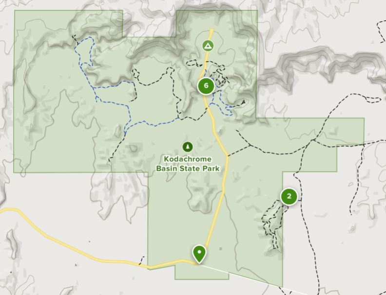
Now it is time to head to our third big stop in Utah, Kodachrome Basin State Park. As I mentioned in our last post, we opted to head west and then south to avoid driving up and over the Dixie National Forest. I am sure the scenic drive along highway 12 is wonderful, but I didn’t need the climb in the motorhome. So around to Tropic, Cannonville and then down to the park. In addition to exploring Kodachrome Basin (named by folks who thought the colors reminded them of the vibrancy of the Kodak film) this will be the take-off point for exploring Bryce Canyon National Park, too.
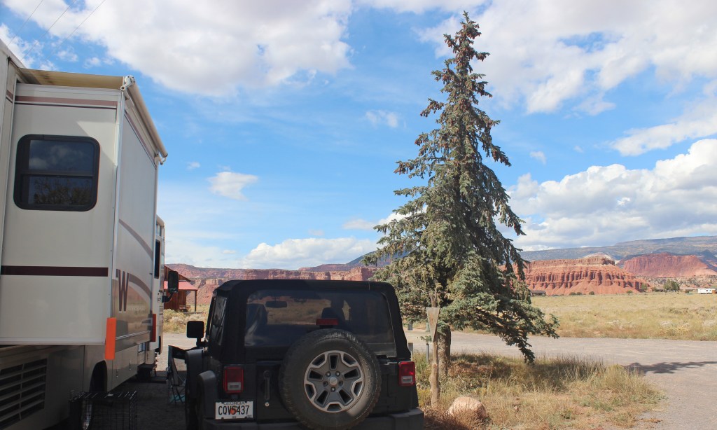
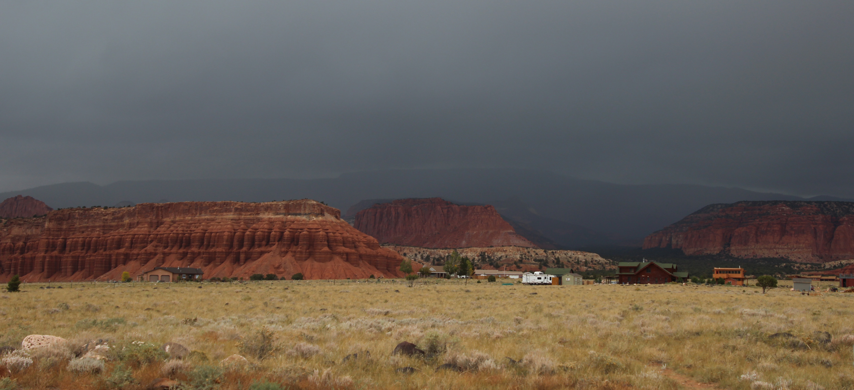
Alas, as we hook up the jeep and start off it begins to rain and it rained the whole way to Kodachrome Basin. I find it odd we have had so much rain in a high desert zone. It was an easy drive, though, as we stayed mostly in two river valleys: Fremont River and Otter Creek and the road was in great shape. We finally experienced what we have been warned about extensively: cows in the roadway. And they don’t move out of the way, either. Once we got to the campground it was a short drive down a gravel road and we found a level spot to disconnect. Ah but Murphy’s Law kicked in for us, as the Jeep wouldn’t start. Well, we went ahead and got the motorhome situated in camp, hooked up water and electric and pondered the situation. I had a quick charge battery pack that is supposed to jump start you car in an emergency, so I pulled that out … naturally it needed to be charged! I let it charge and we went back to the Jeep to jump start it. No luck, just clicking. Battery was dead, charger was useless.
I walked back to the Visitor’s Center in the rain to see if one of the rangers had a jumper cable. Probably, but it would have to wait just a bit for another staff member to return. I trudged back to the camper, noting to add jumper cables to our supply list for the Jeep. Then Hayley showed up and said, sure she had cables and we jumped the Jeep from her little Nissan. Once back at the campsite I hooked up a battery charger I did have in the motorhome (the kind you use to trickle charge over the winter) and left that hooked up overnight. It started up in the morning just fine. I think what happened is this. Because it was raining I had the headlights on in the motorhome. That must also turn on the lights for the Jeep and it probably runs them off the battery AND since the generator and alternator are not operating to replenish the battery, it dies.
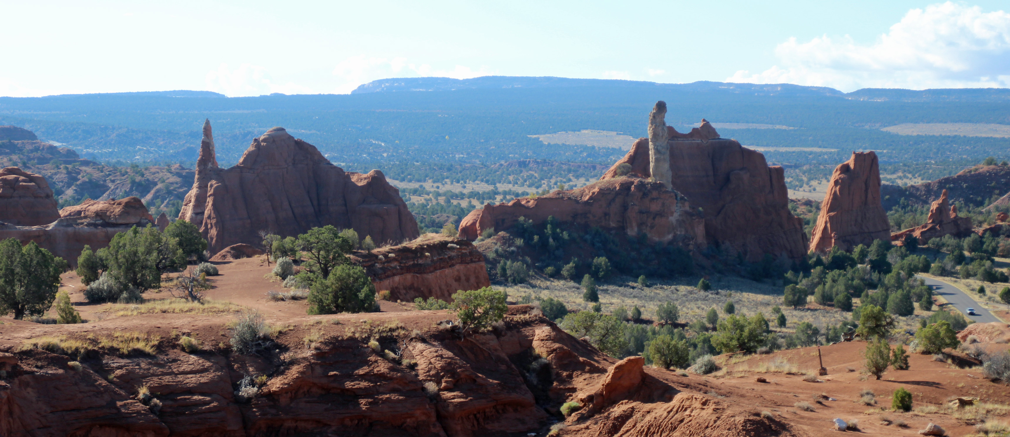
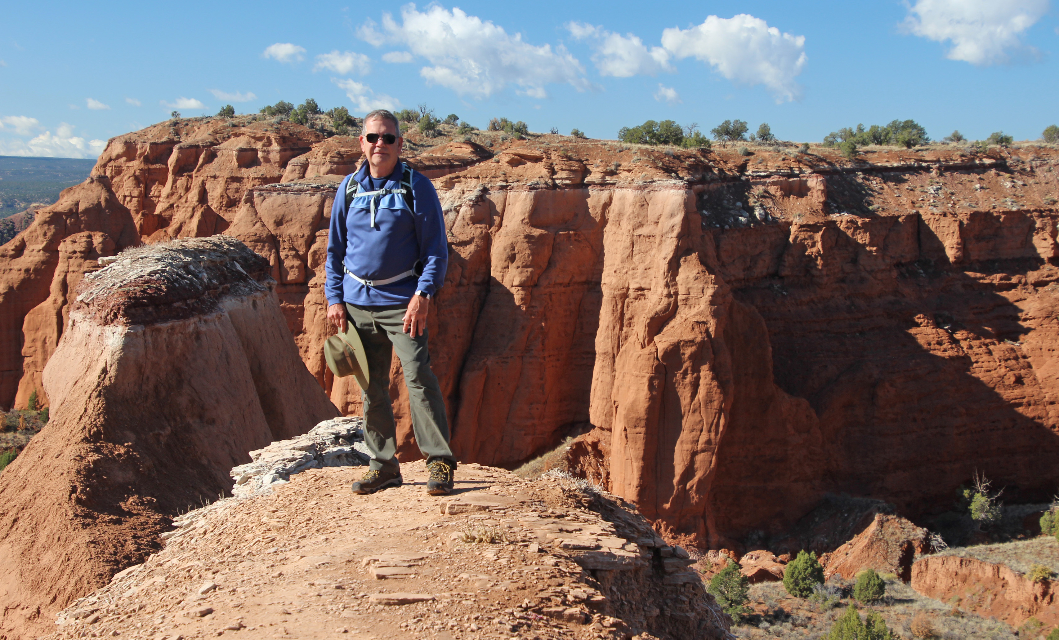
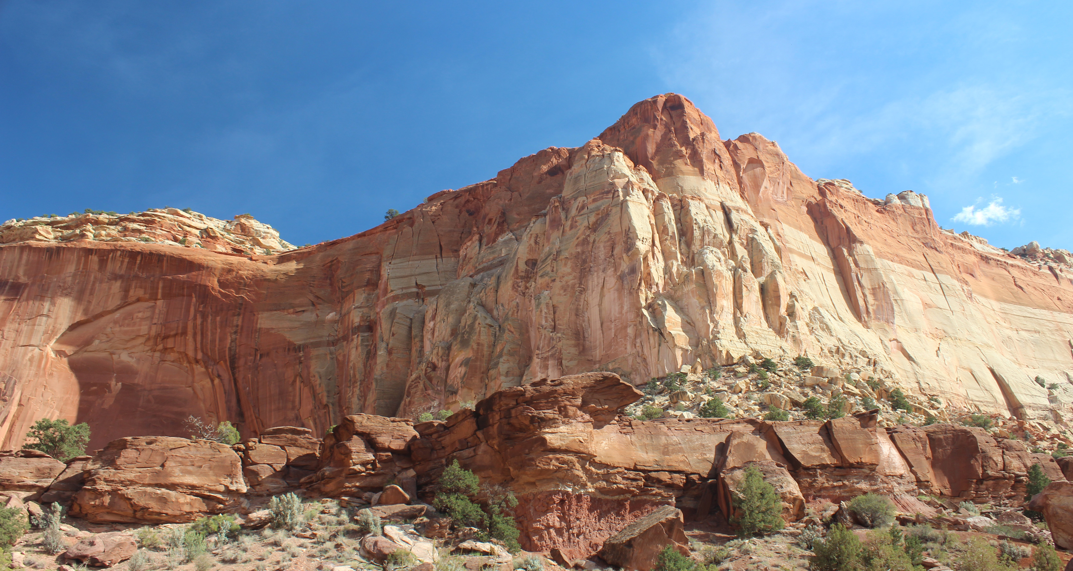
We woke to clear blue skies and 45 degrees – perfect for hiking and exploring the park. We started with a mile and a half hike on Angels Palace Trail and had great views of the park.
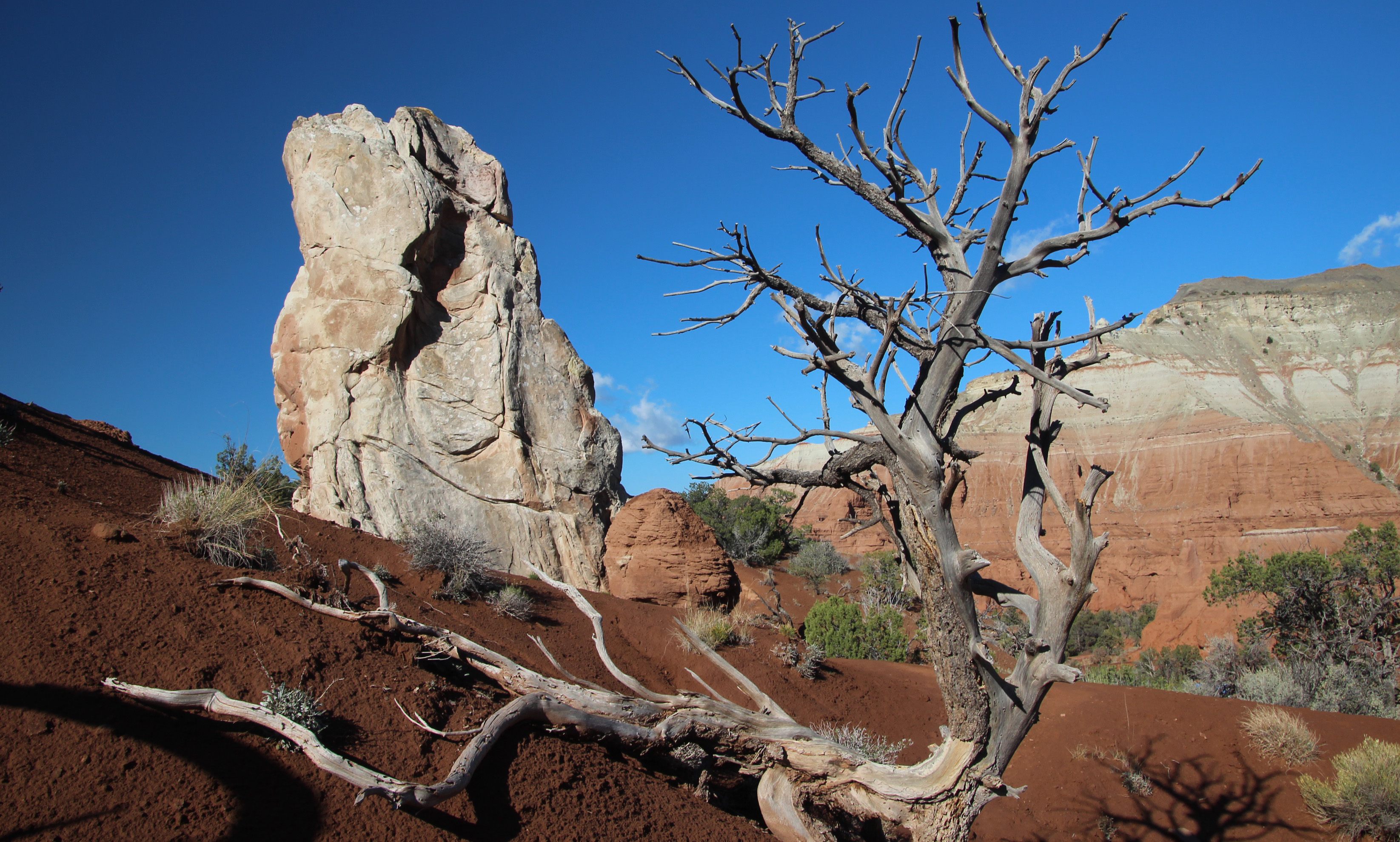
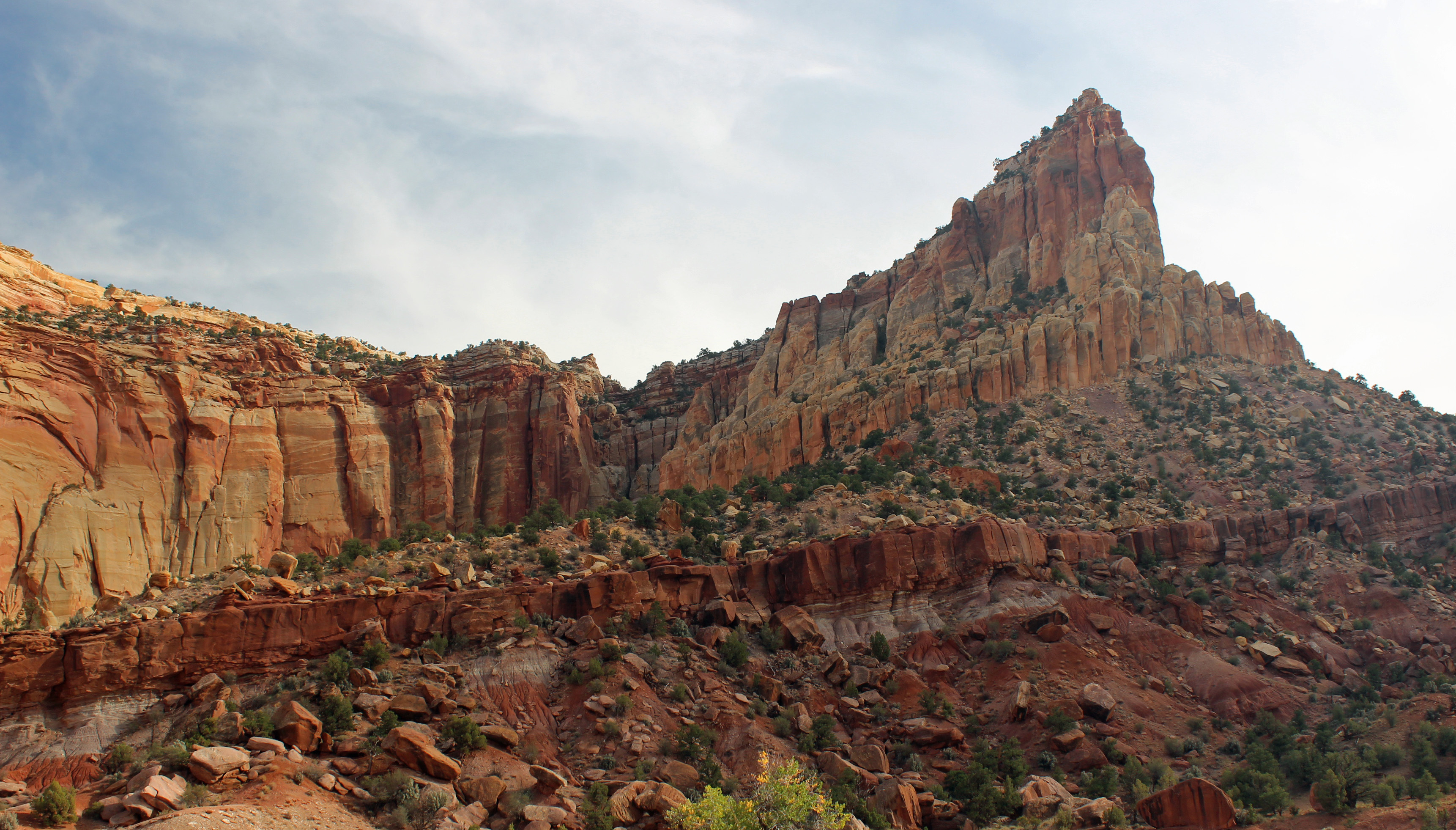
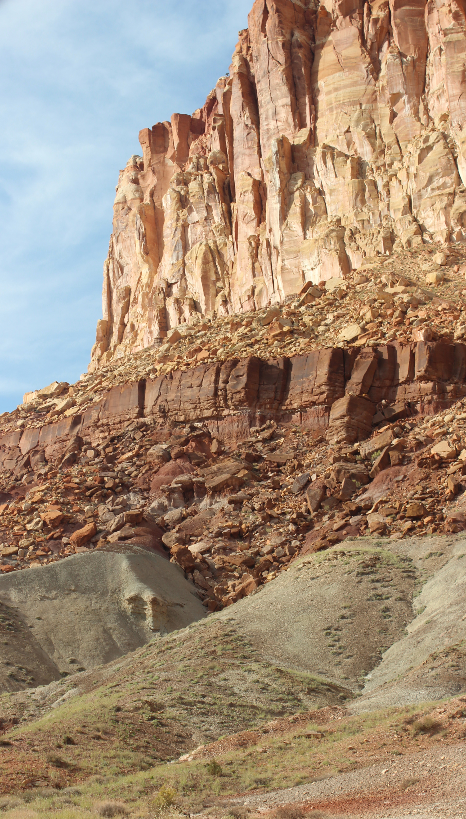
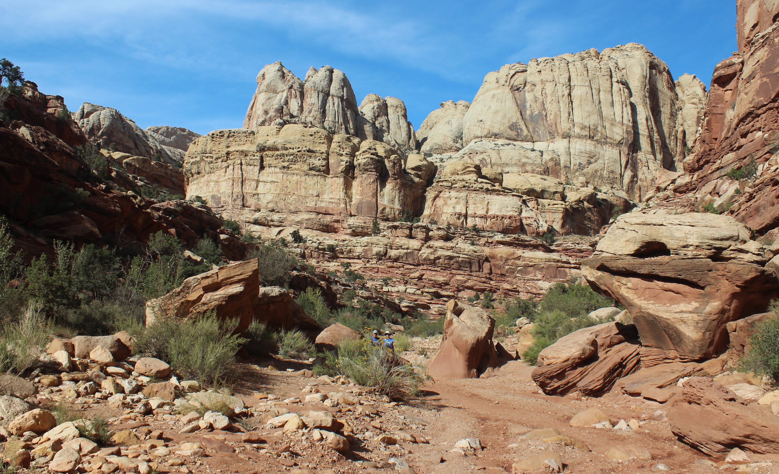
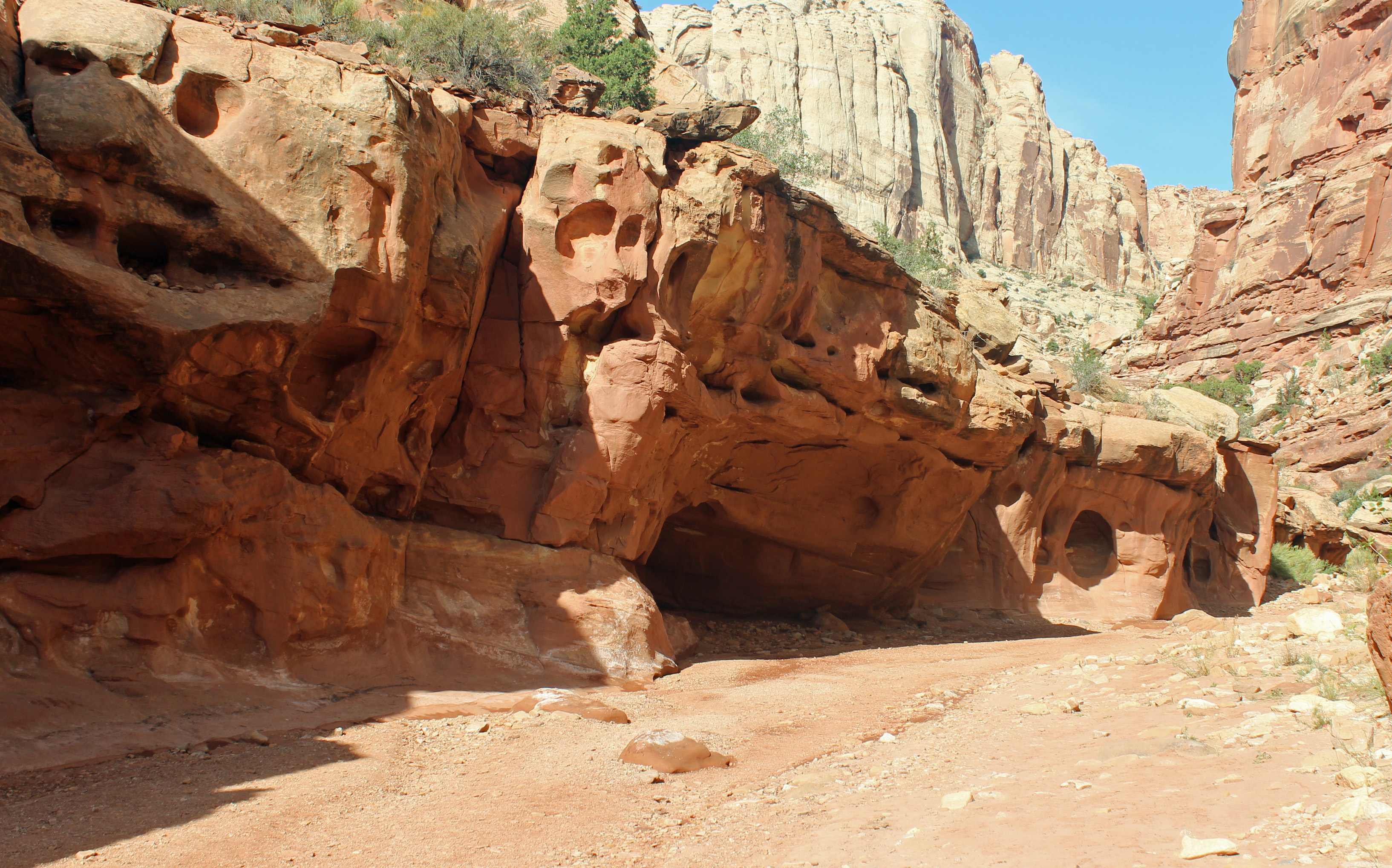
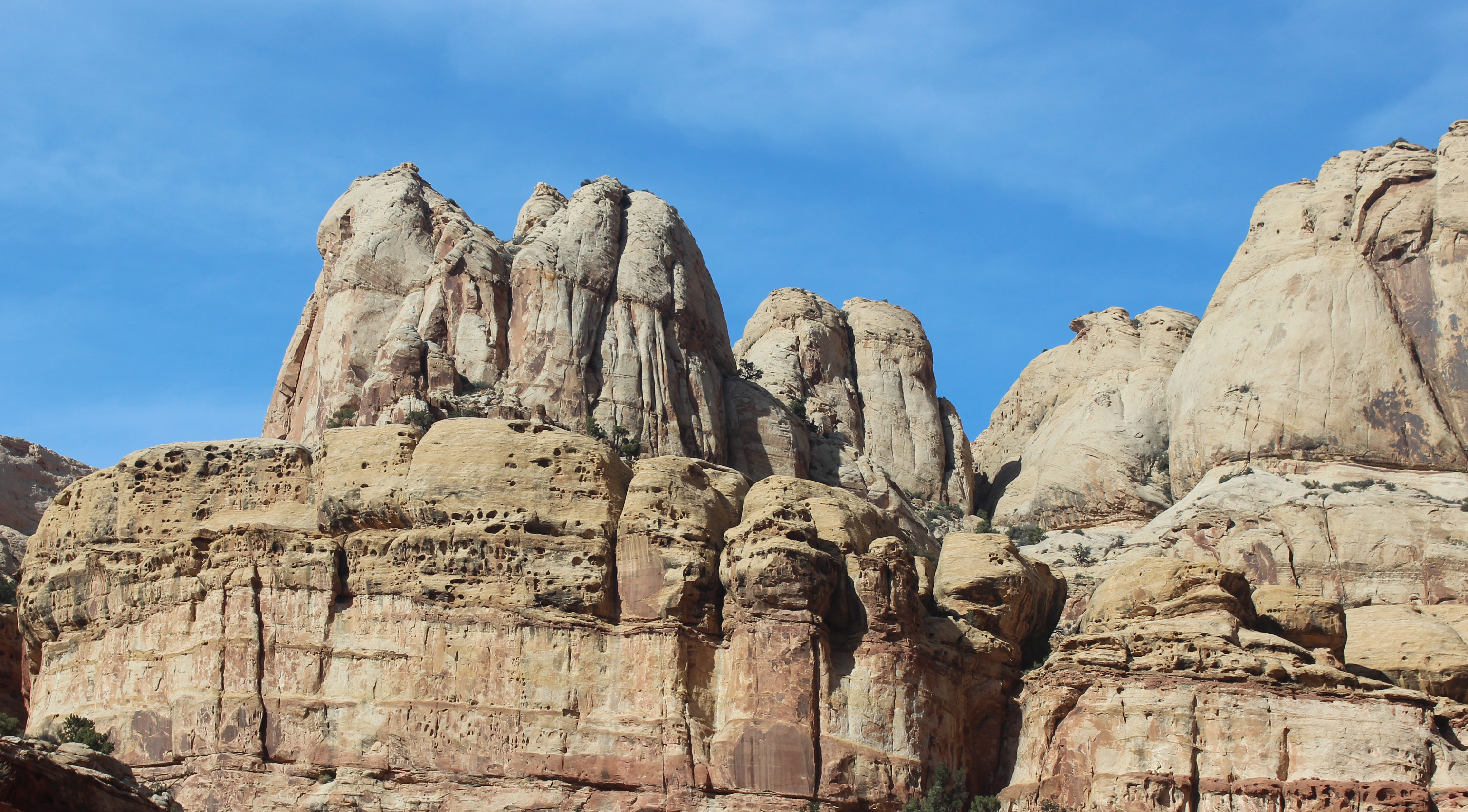
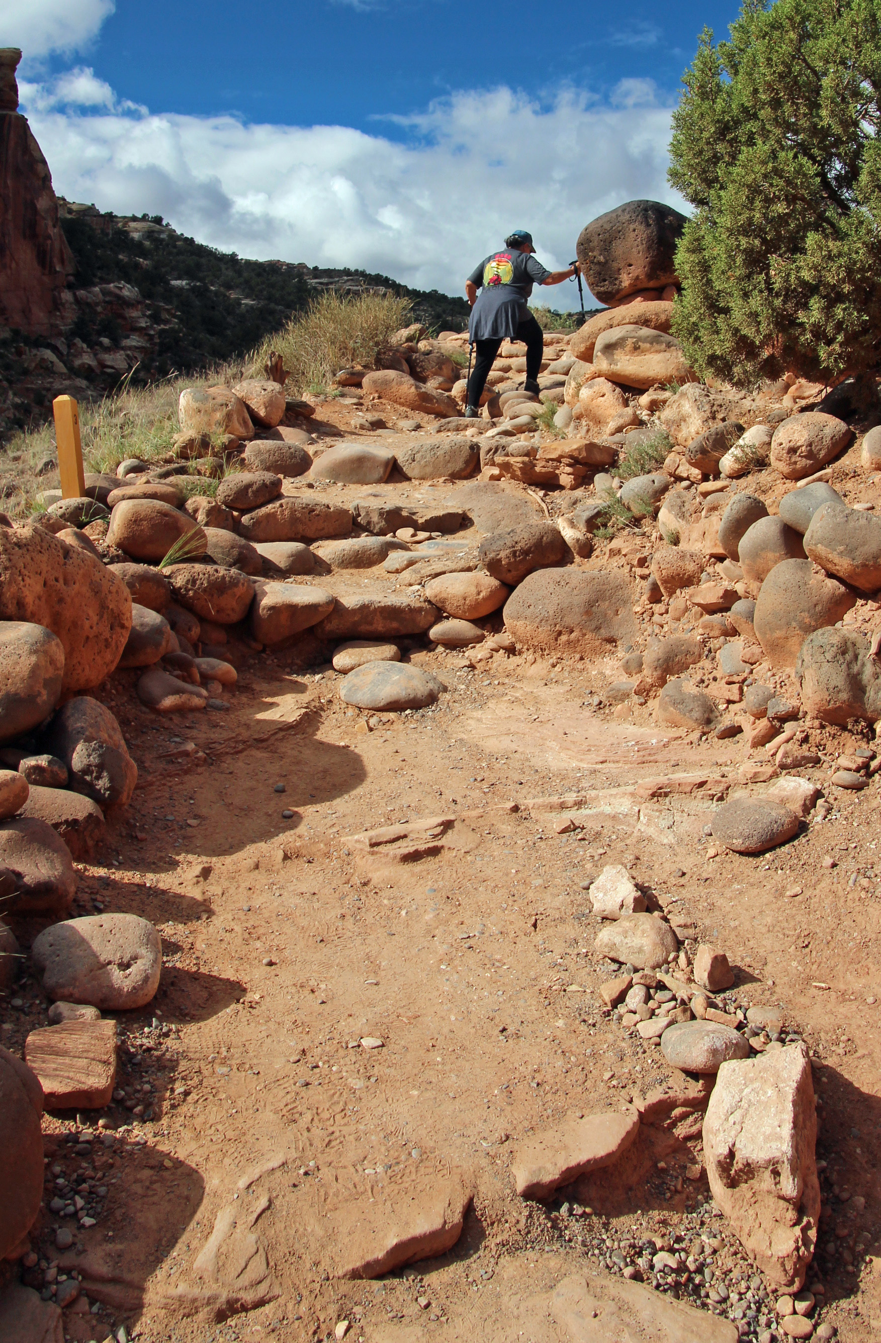
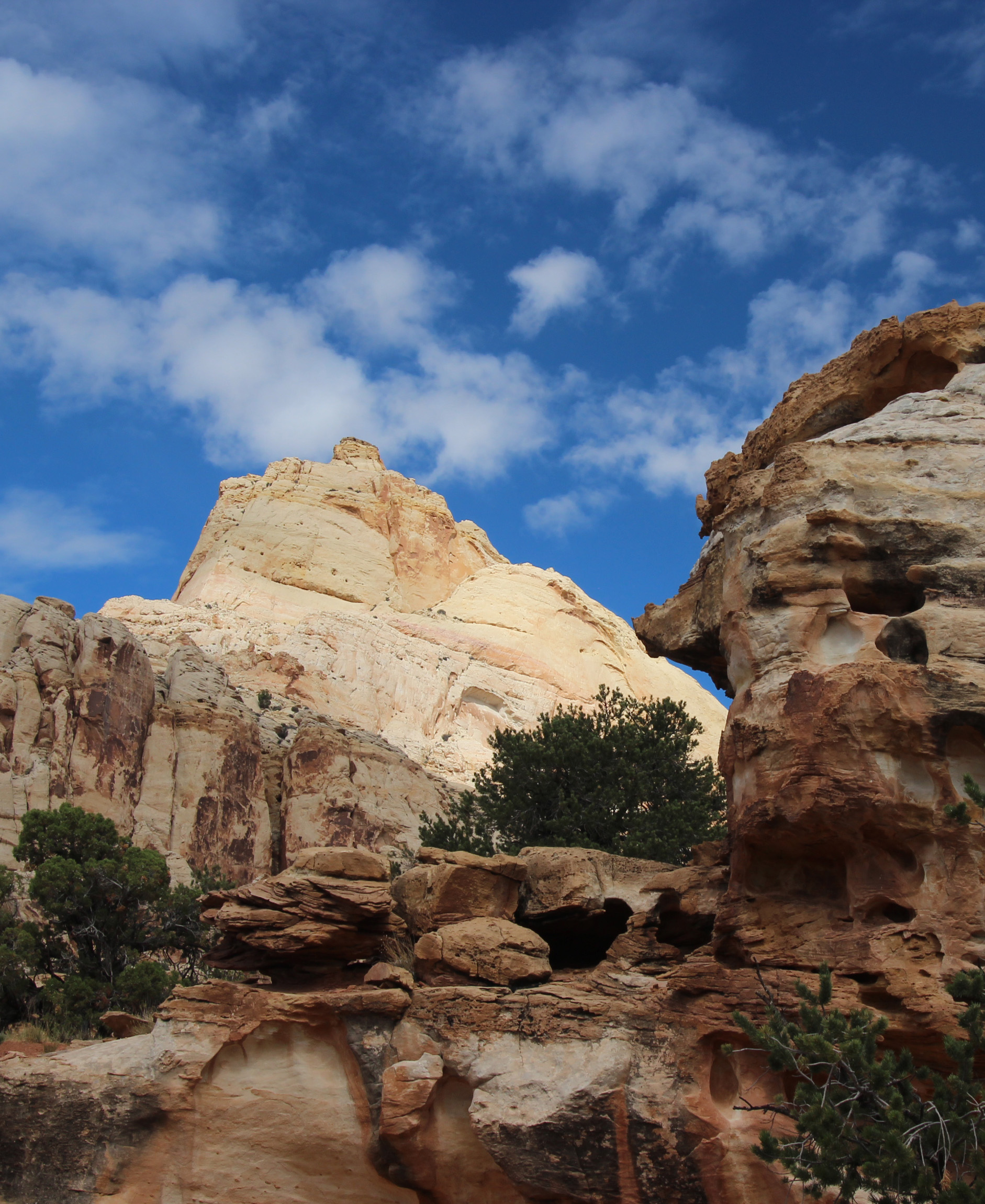
The trail followed several muddy washes up the canyon and opened up on red shale plateaus that were fun to wander. The park is filled with unique pipe structures that jut up out of the red sandstone. Hiking down the canyon wash that wall filled with cedars and pines you could smell the pinyon pine – a definite evergreen fragrance that was wonderful. Altogether it was a very cool morning.



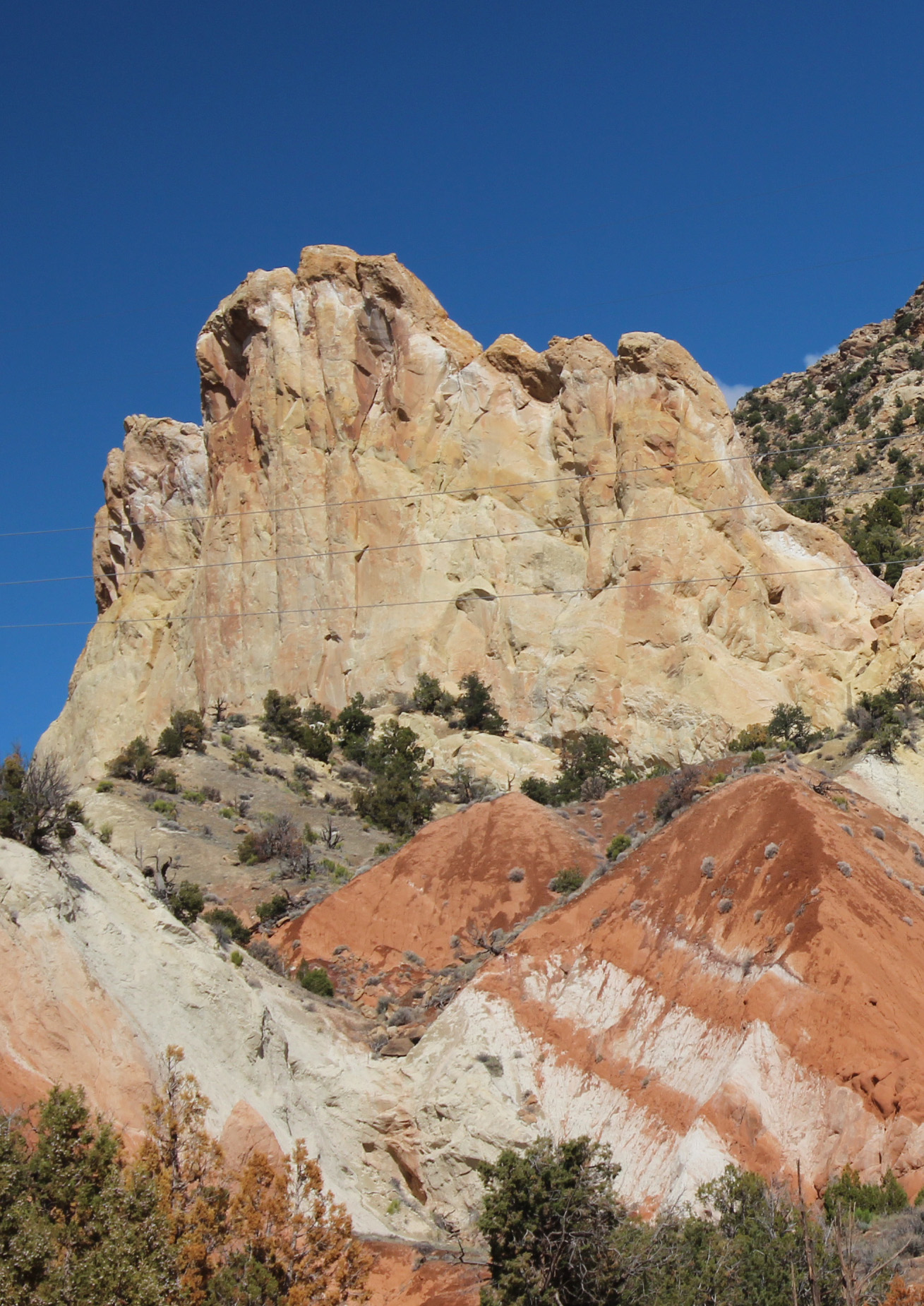

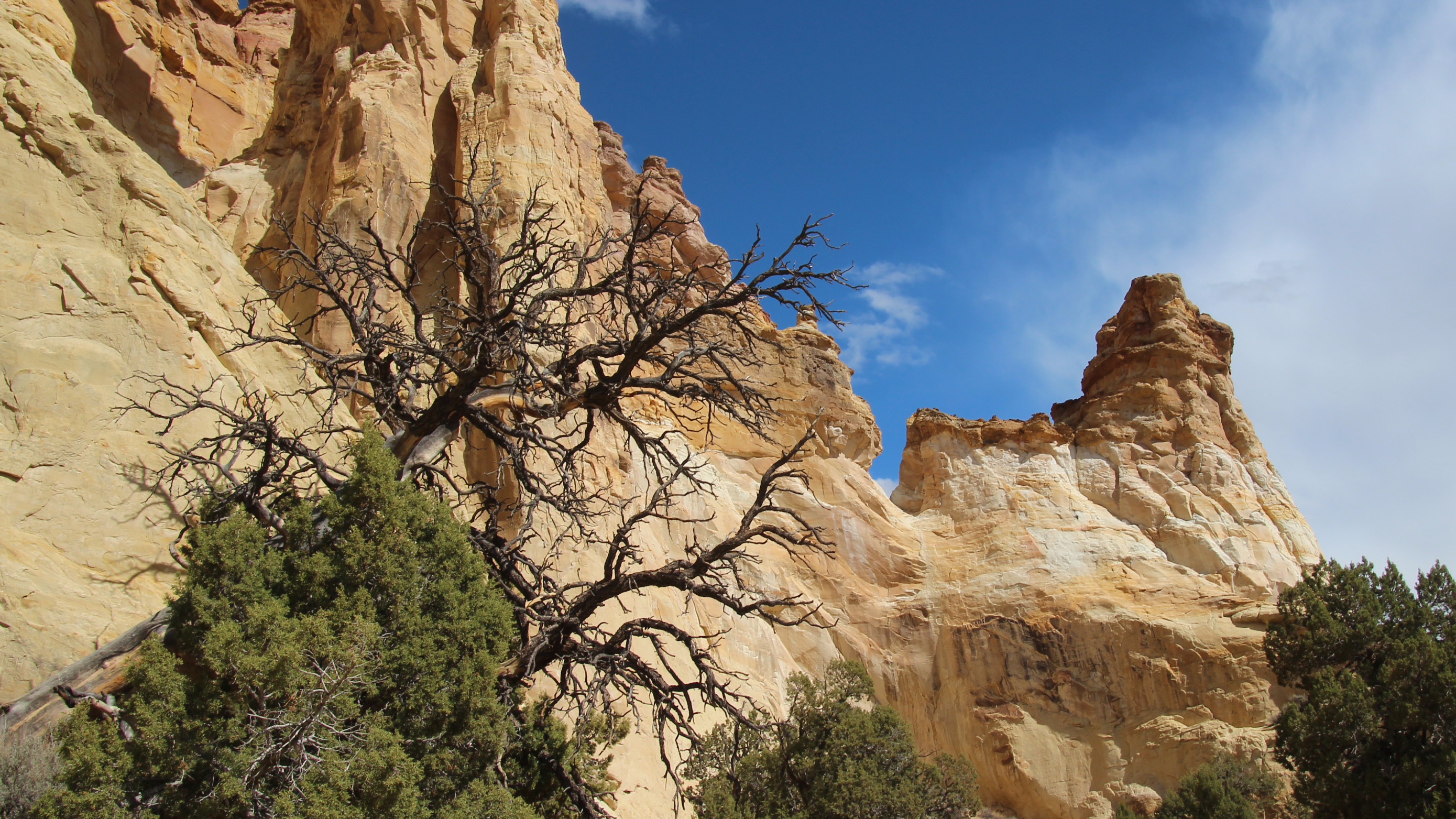
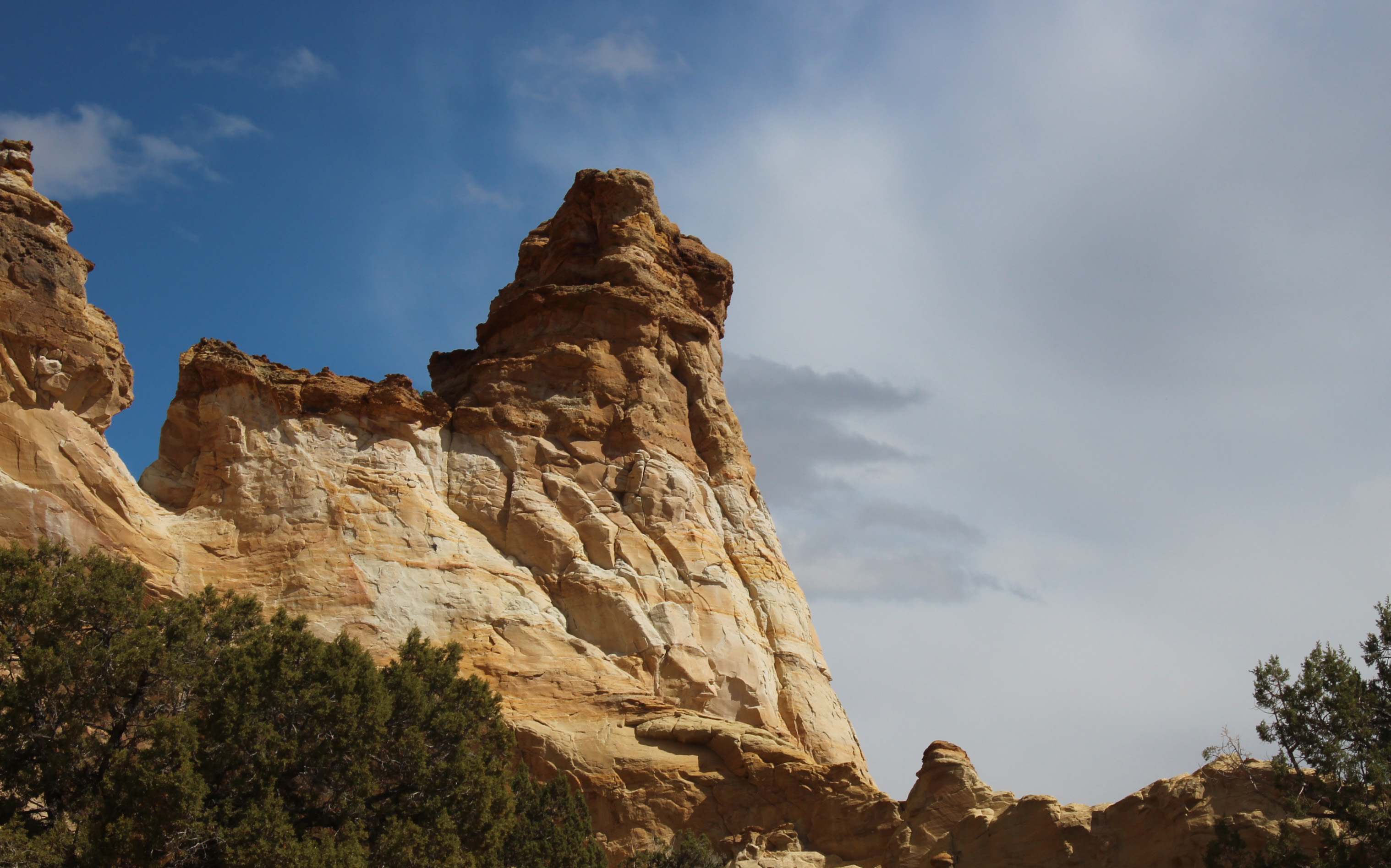
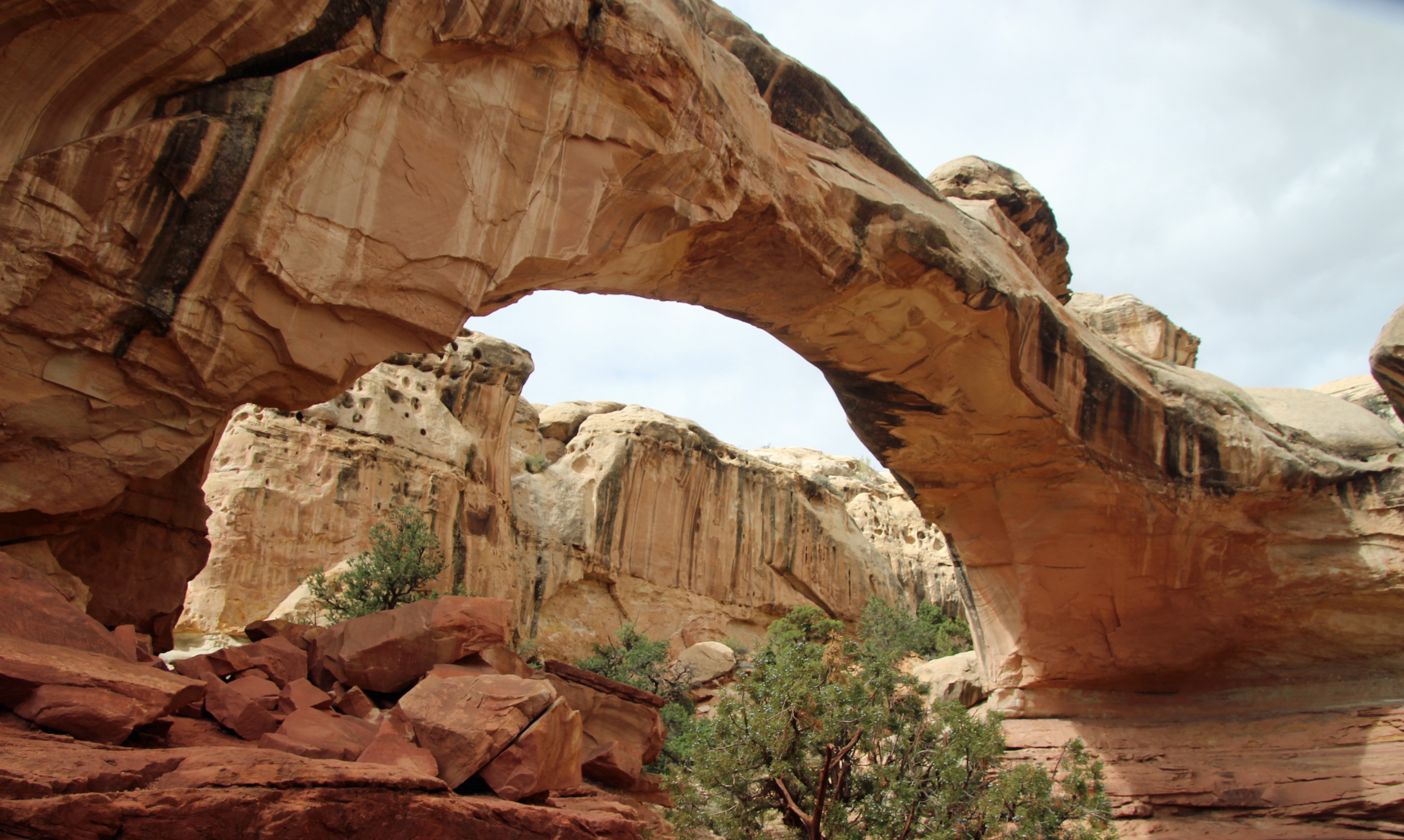
Lunch back in camp and we discussed the afternoon choices. Decided to drive 11 miles further south on a sand/dirt/washboard Cottonwood Canyon Road to see Grosvenor Arch, named for the original president of National Geographic Society and located in Grand Staircase/Escalante National Monument. Pretty amazing double arch of white sandstone that really popped in the afternoon sun. Walking from the parking lot toward the arch there were a couple of folks stopped halfway chatting on their phones. Somehow this spot in the middle of nowhere, a true cell-phone desert, they were able to get a signal right there. Ok, that was crazy.




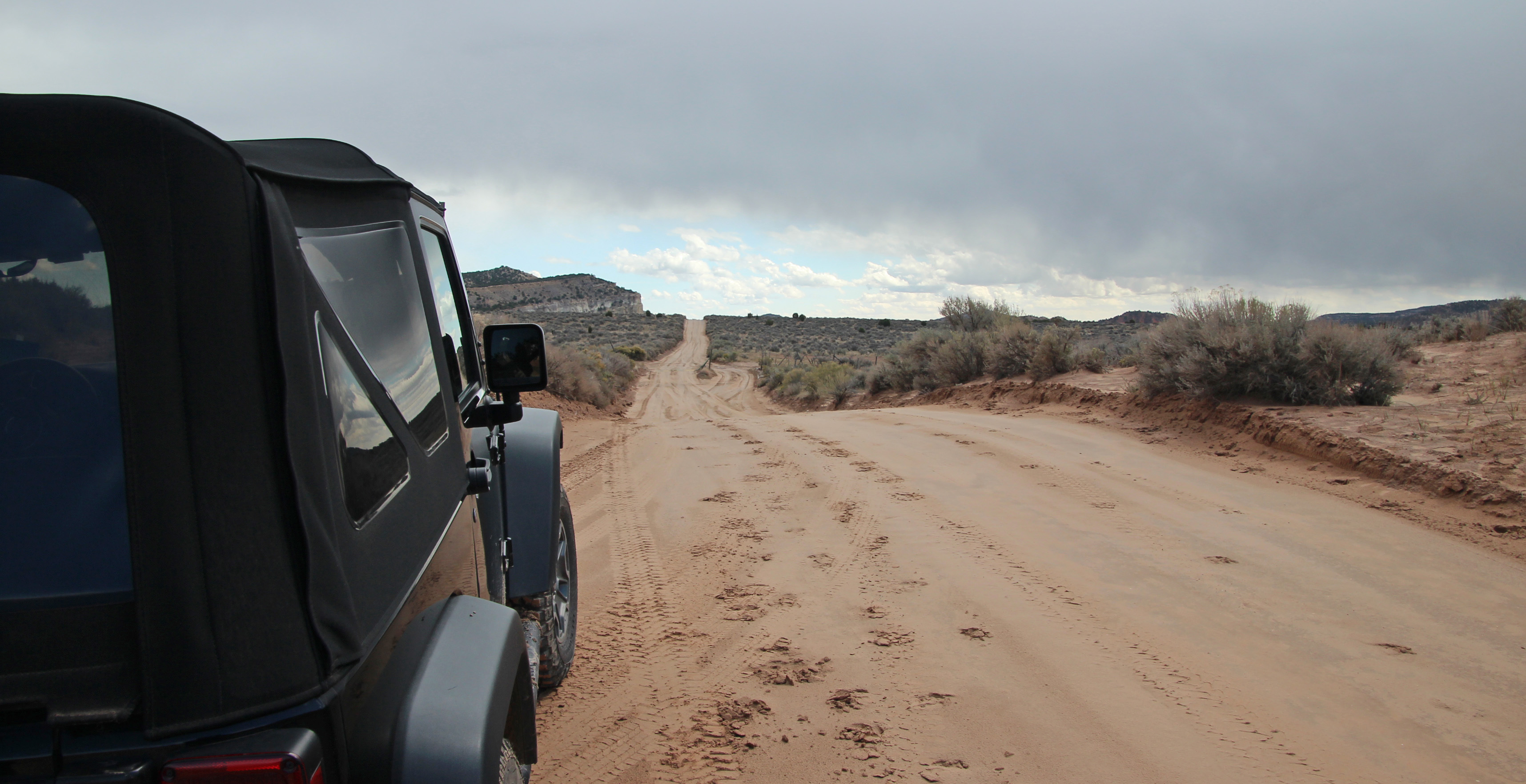
Jackie drove back to camp on the road and got her first 4WD experience. Hit one muddy ditch pretty hard and splattered mud all over (“hey I’m learning”) but on another creek crossing she maneuvered into the deep mud ruts and drove up and out just fine. “That was fun.” Dinner was just as spicy – a nice taco salad.

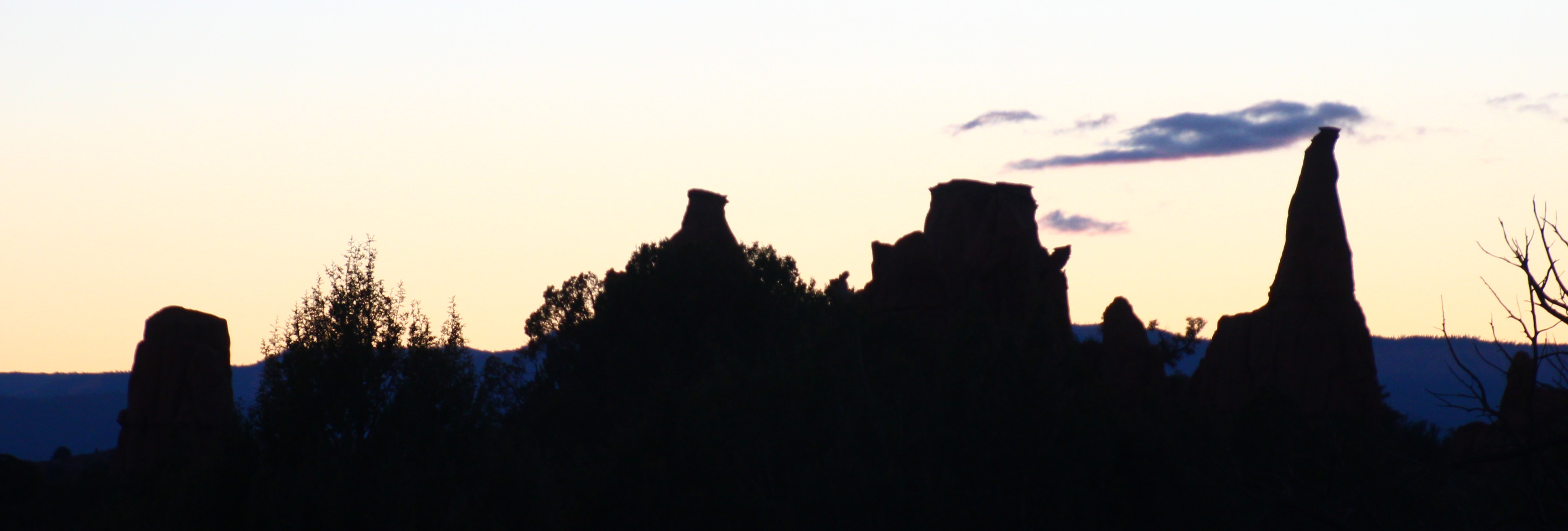
We expect good weather for tomorrow, so that is to be our Bryce Canyon day. The final day we might go up Hwy 12 toward Escalante and Boulder City. There is a stretch of road called the Hogsback that runs along the spine of the mountain. Might be fun. Oh, and there are predictions of snow for the day we haul out of here. Really? We shall see, since the weather changes by the hour around here. But, the night sky is clear and filled with stars. A sliver of a moon sets early and the milky way is very evident. How wonderful.
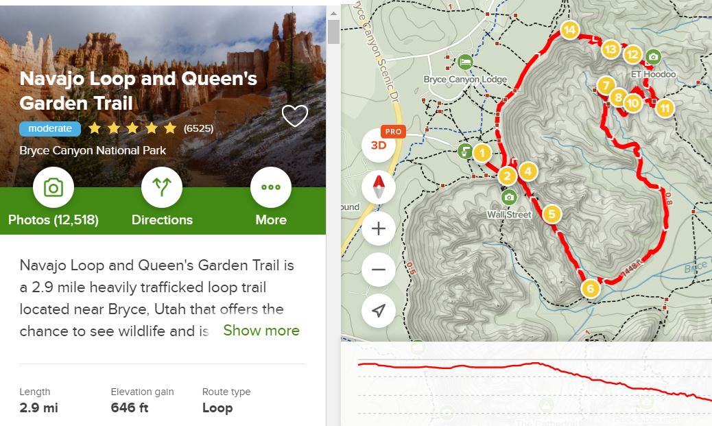
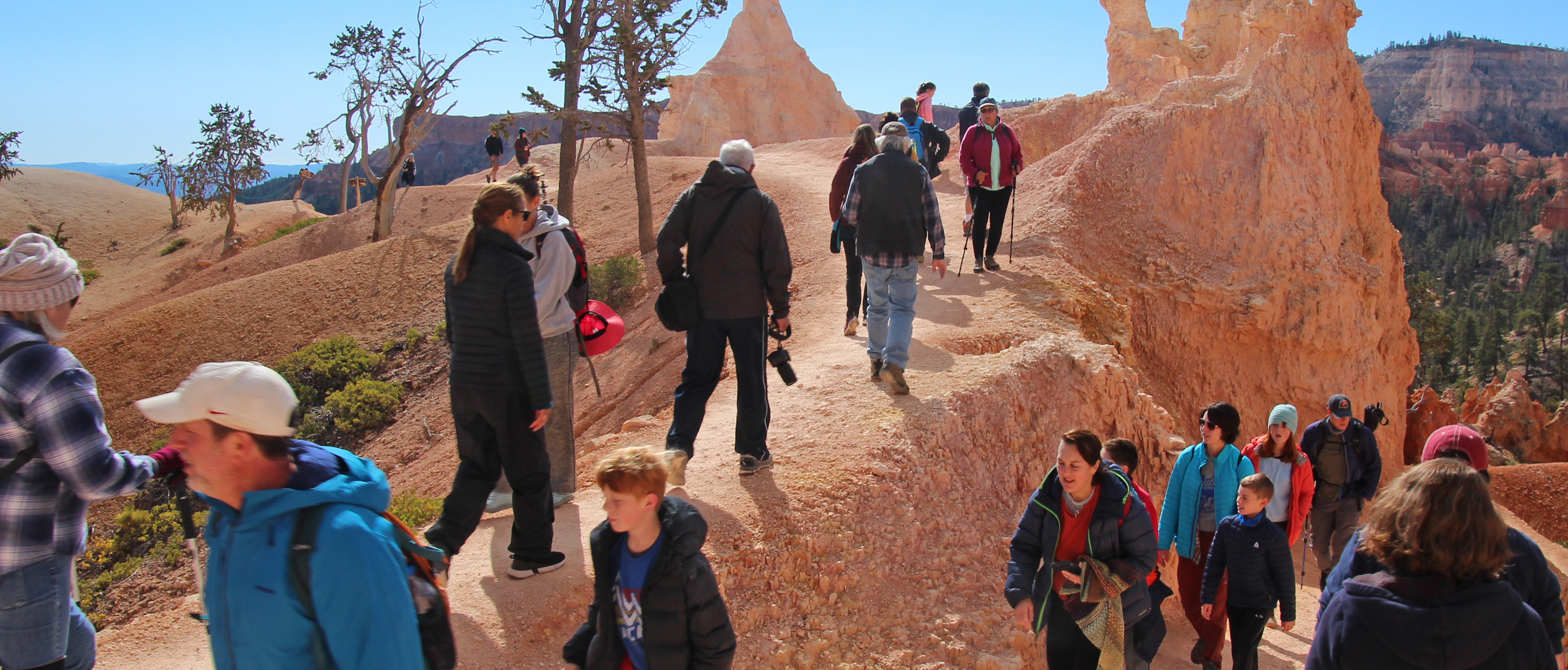
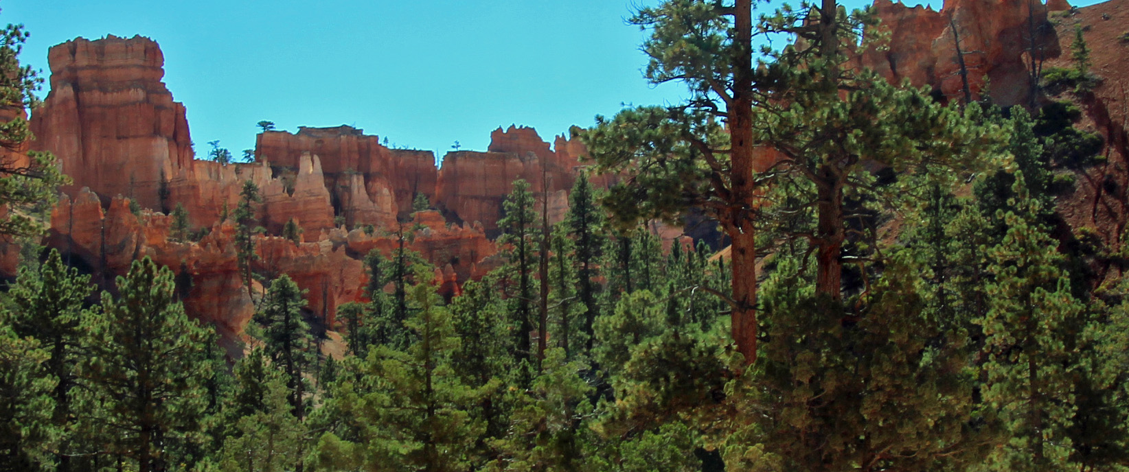
Indeed the weather was beautiful on our second full day, not a cloud in the sky and 41 degrees. Packed a lunch and all our hiking gear and drove the 20 miles or so to Bryce Canyon NP. I figured our toughest hike of the trip would be the one down into Bryce Amphitheater along the Queens Garden Trail, which is a 1.5 mile one way trek down the canyon. Wasn’t sure about the return trip. Well, from the overlook at Sunrise Point we were amazed once again. The famous hoodoos are outstanding – orange, red, white and yellow sandstone spires that spike upward. Down we went along the sometimes very narrow trail, through the fins and spires until we reached the white structure called Queen Victoria. As you can see, even though we got a start before 10 am, we had the place to ourselves (NOT). This was our busiest park and trail so far, reminiscent of Arches and Grand Canyon. As kids and parents and others bounced along and zipped past us, we just took our time and gazed up at a perfectly dark blue sky like you almost never see.


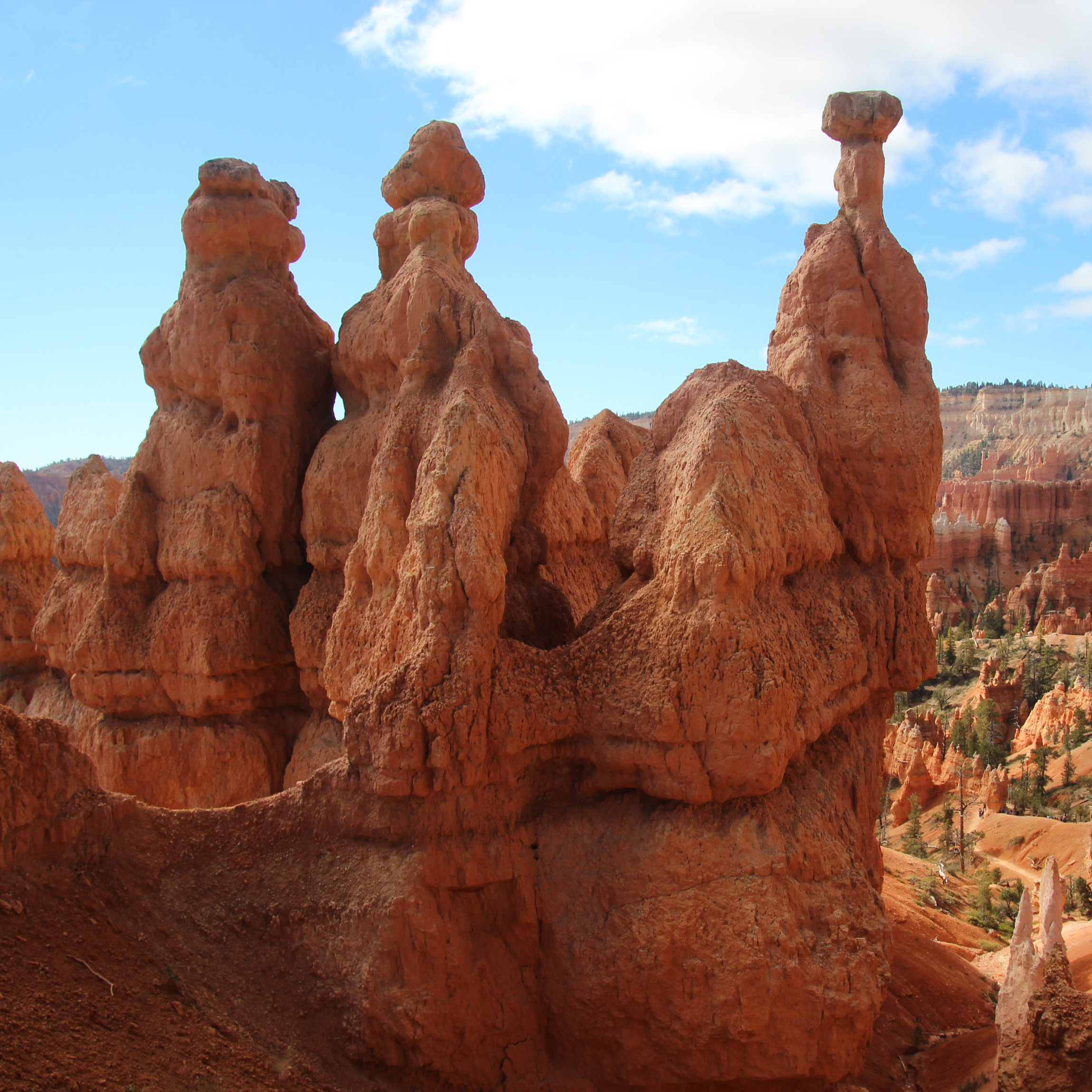


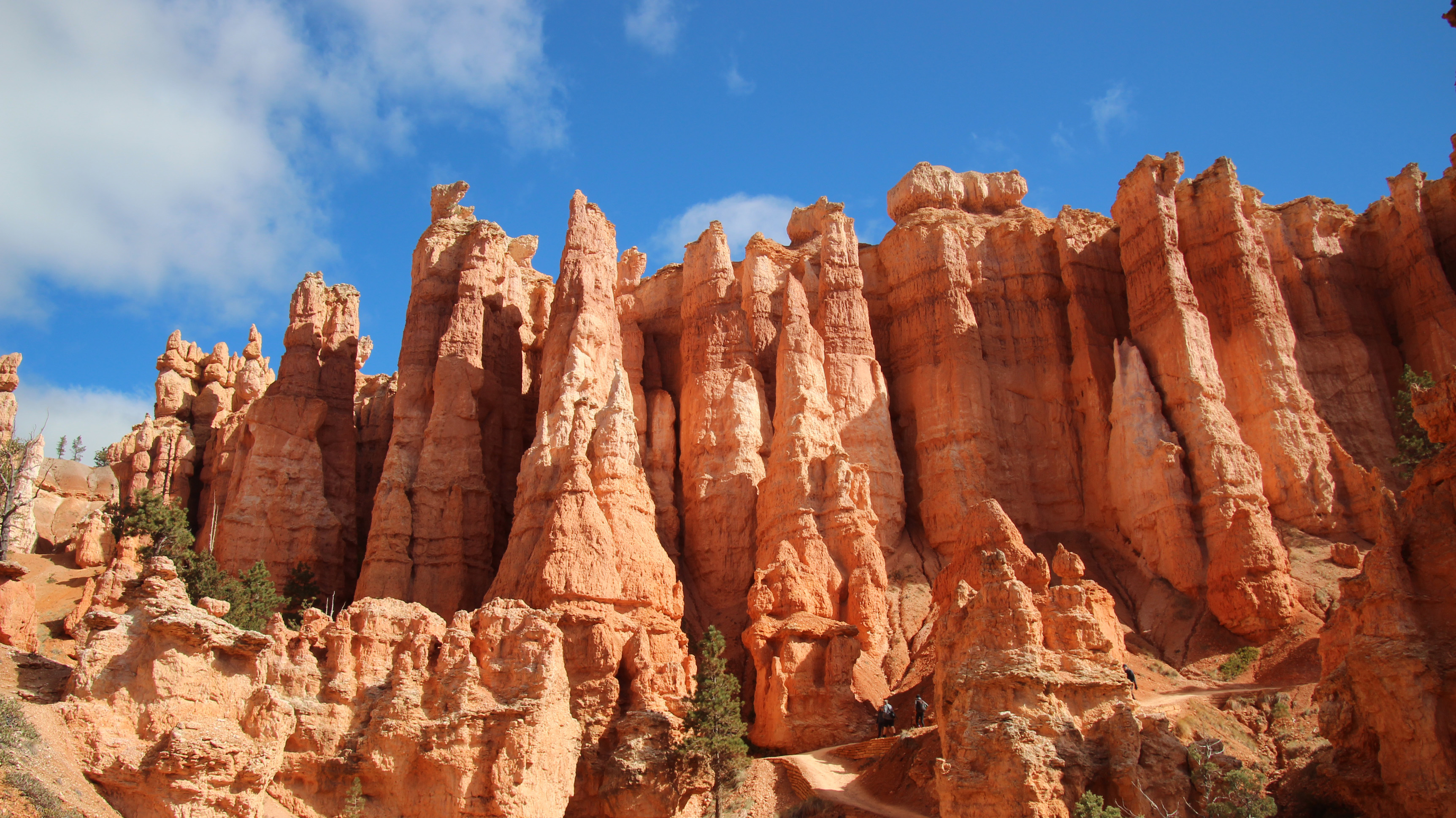
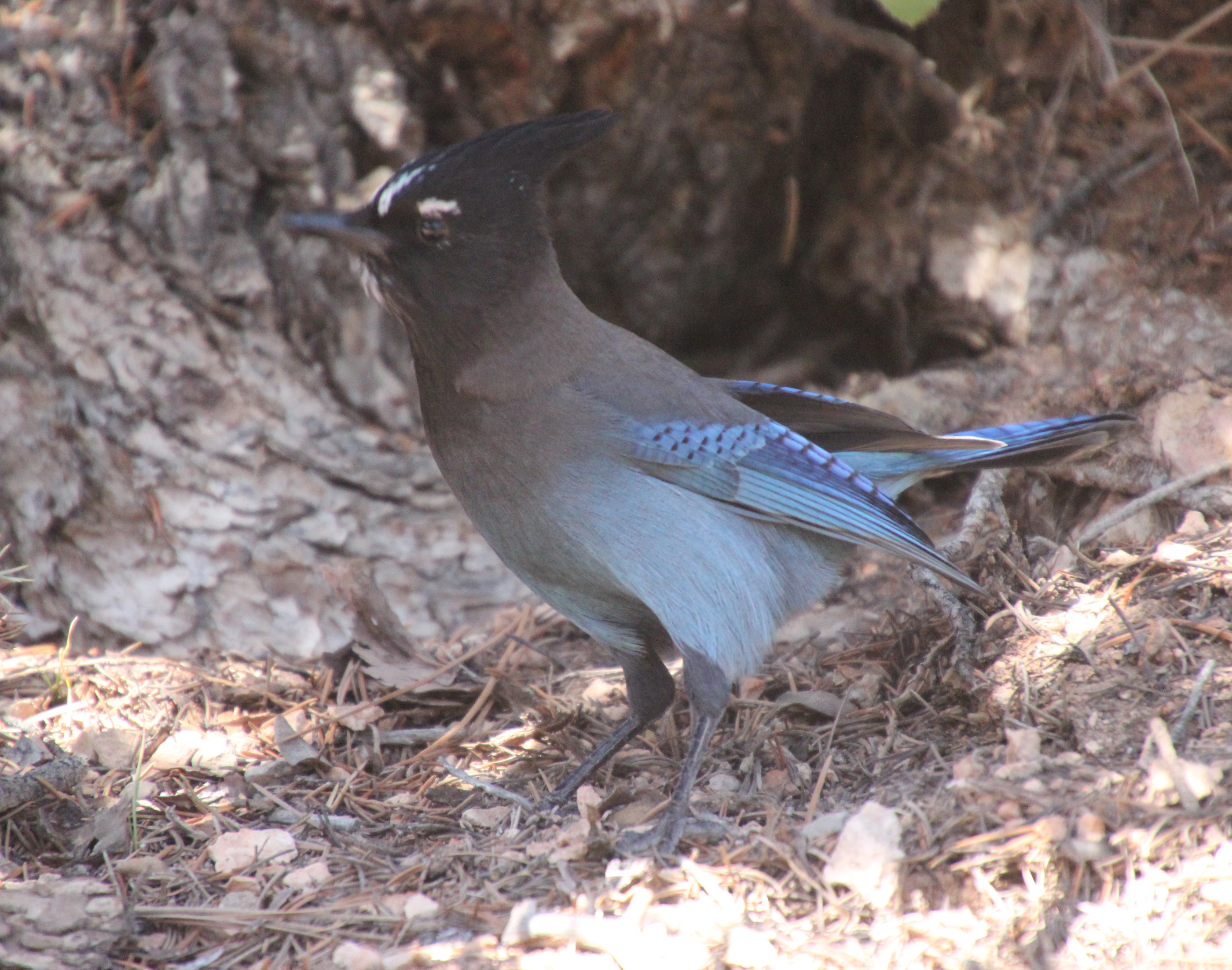
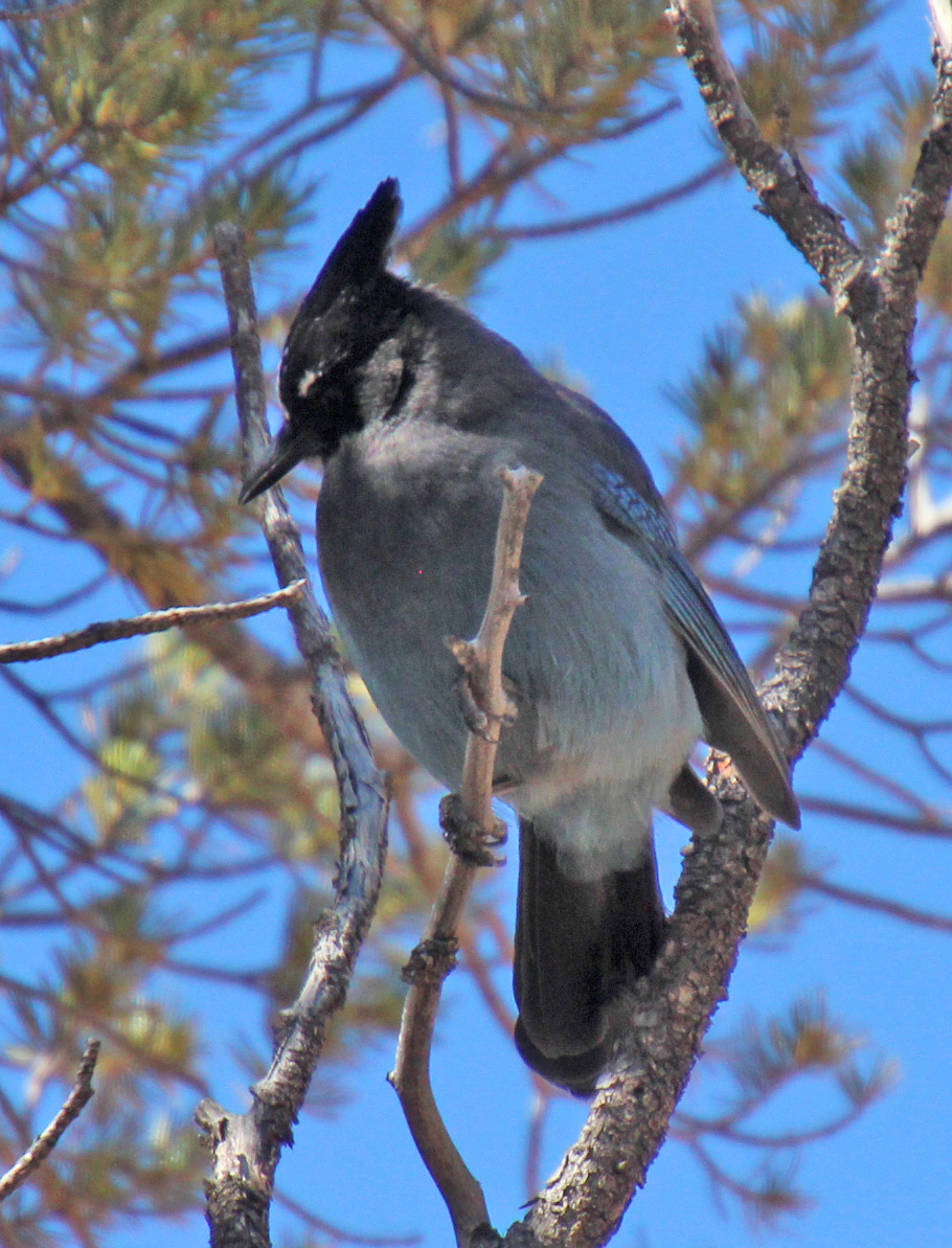
After a few tunnel passes and more meandering, we reached a much more wooded canyon and walked among the spruce, cedar and pine with chipmunks scattered about. There was a pinyon pine that had a couple of Steller’s jays bobbing around eating the pine nuts. Such dramatic blue and black birds. When we reached the end of the Queens Garden Trail we, along with many others, debated the way back. Map said we should link up with the Navajo Trail for a return trip of 1.7 miles, and not wanting to repeat ourselves we pressed on. Another junction offered two ways up: Two Bridges or Wall Street. Again, more debate among all of the hikers pausing there until Jackie declared “Wall Street” for us.


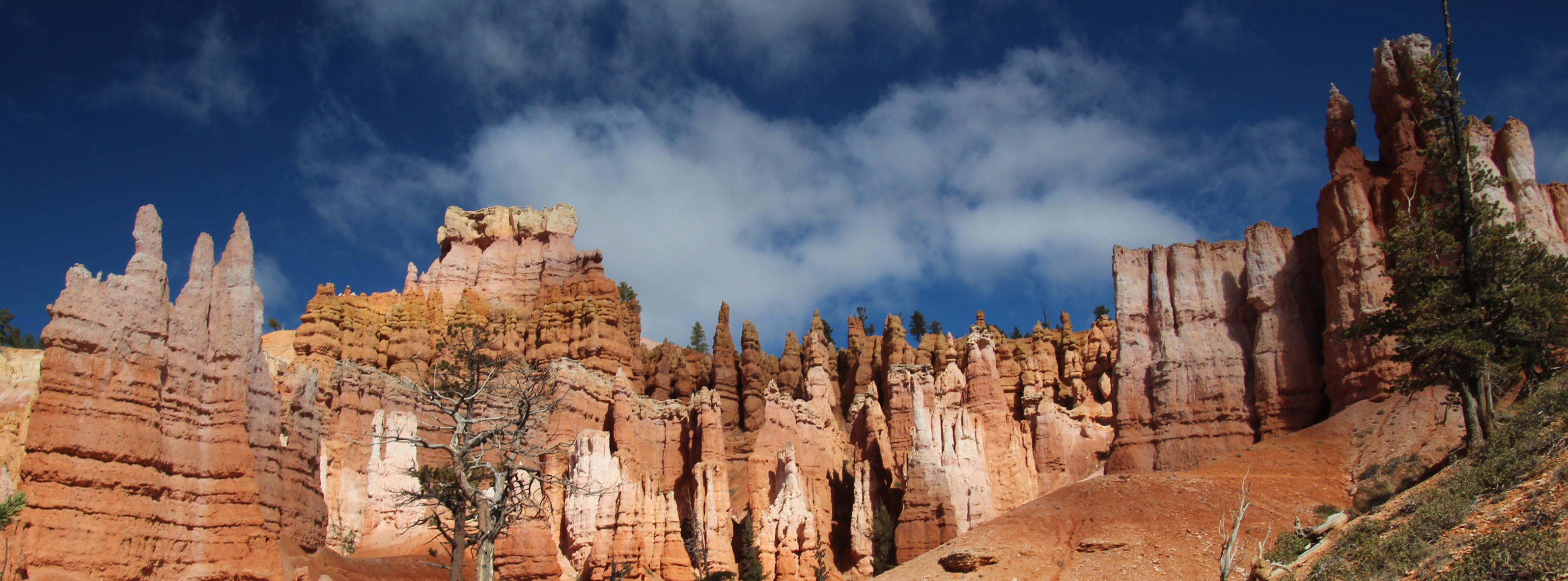

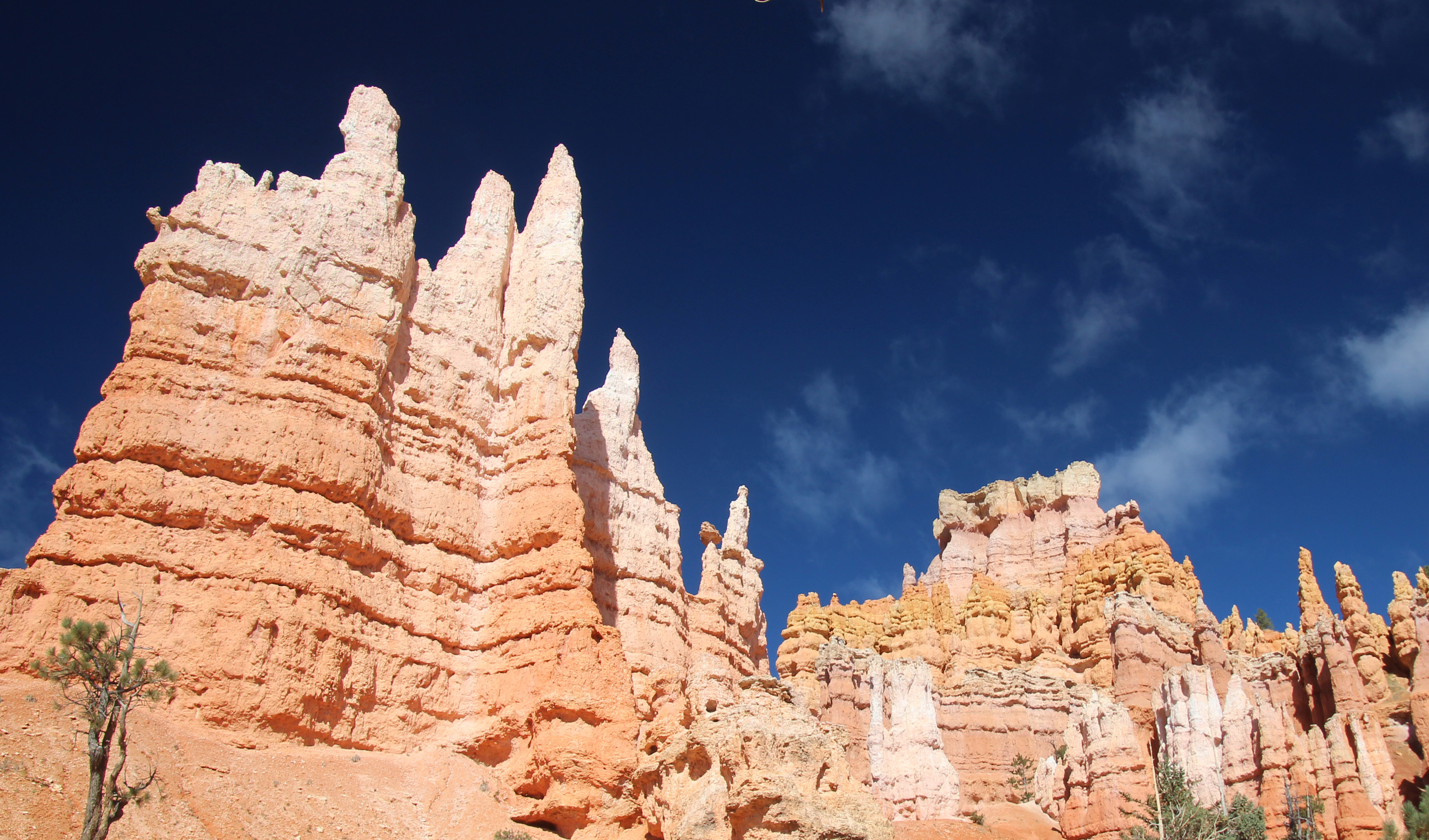




A challenge of an uphill hike until we hit the sweet spot. Crazy. There was a cautionary sign of falling rocks at the start of a stone stairway into a crevasse that really looked intriguiging. We let a larger family group go ahead of us and as we got to the top of the stairway we were speechless. We were standing in a huge slot canyon with sandstone walls that went hundreds of feet up above us. The air in the slight bowl at the base where we stood was rather cold but the experience was goose-bumpy anyway.
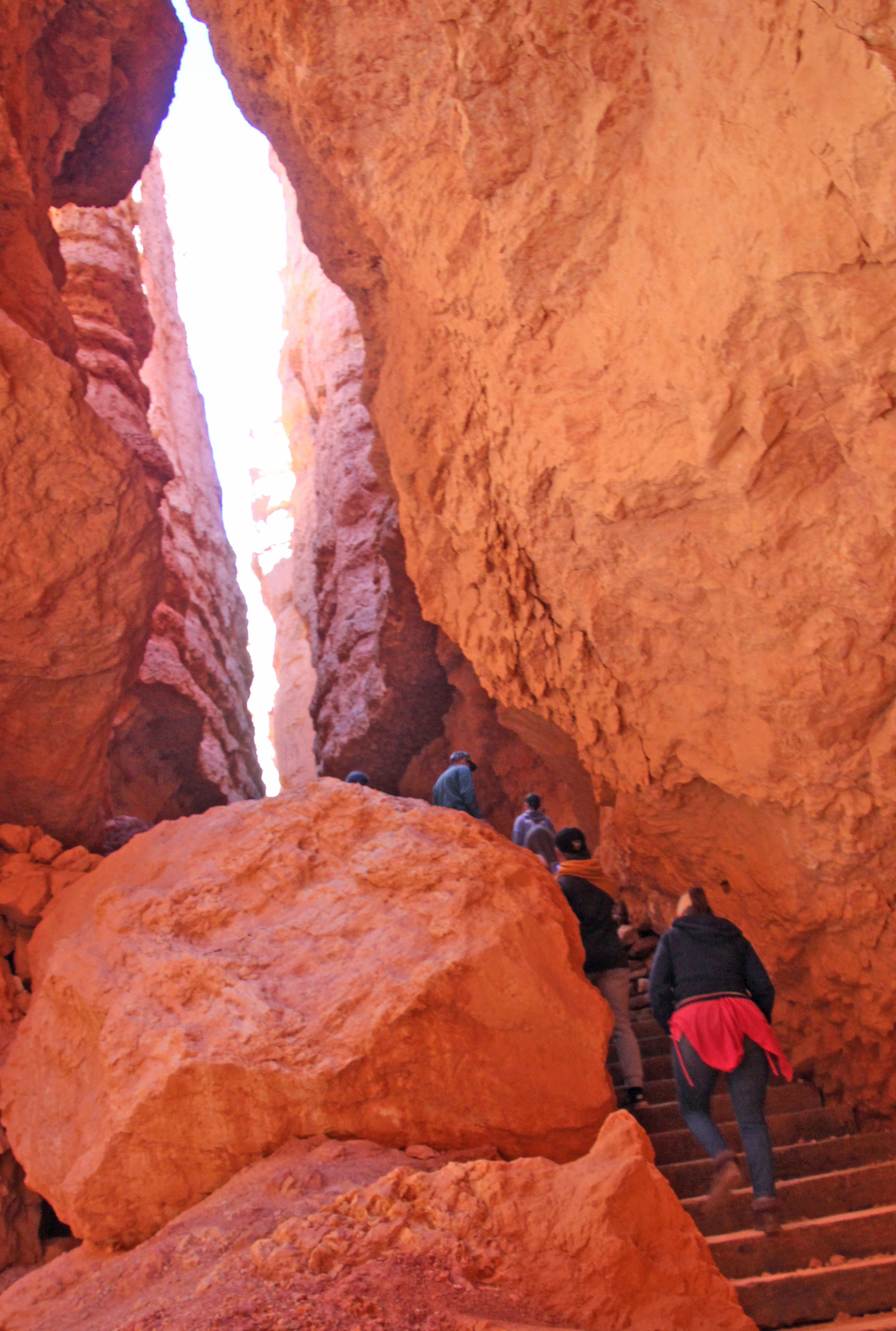


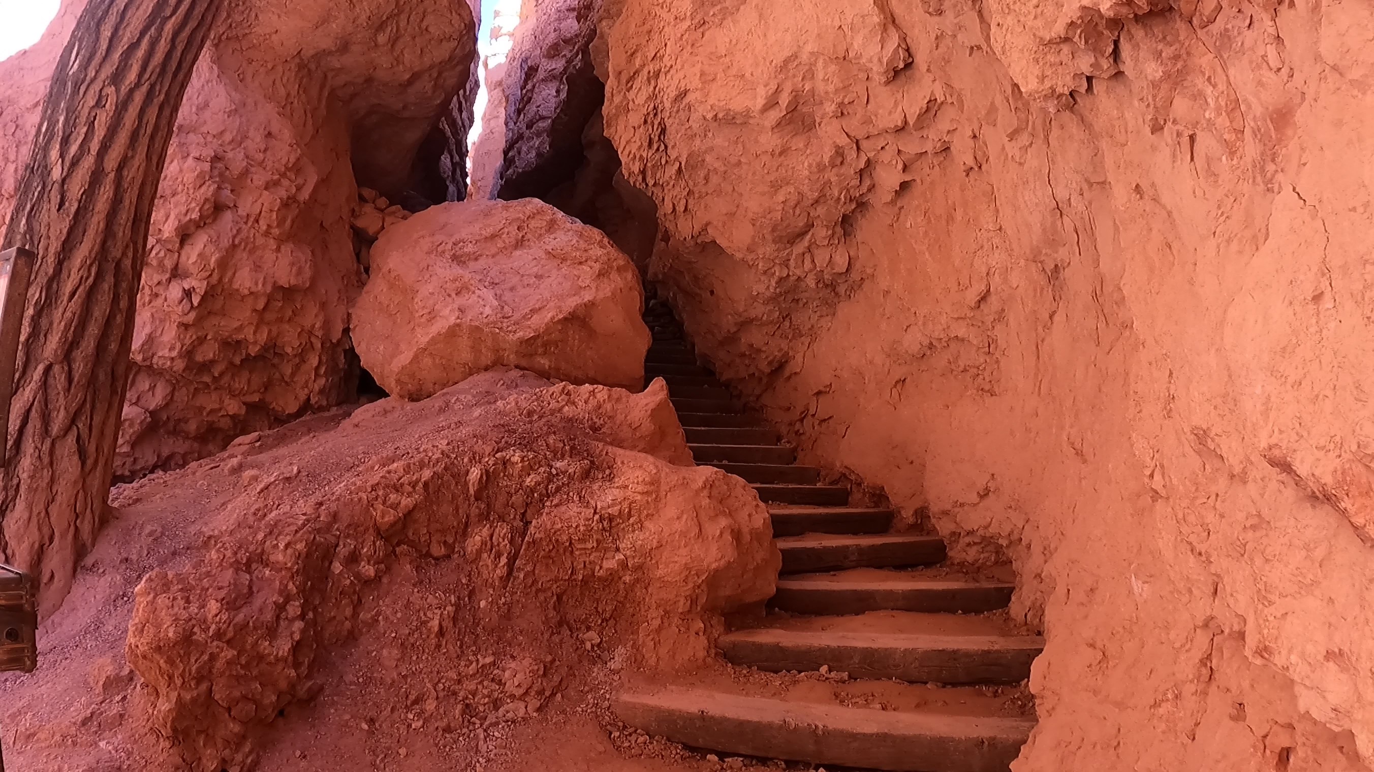

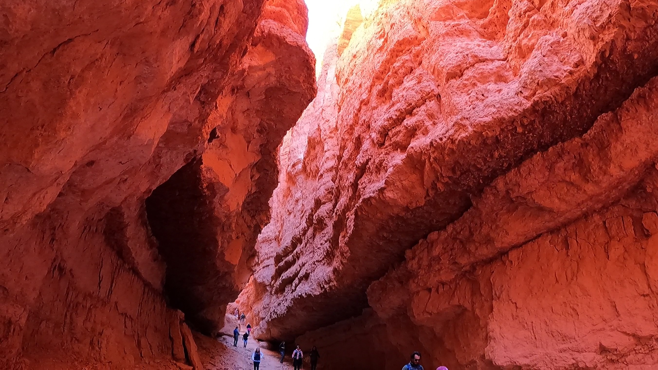
This section of trail was the last ascent, and it was amazing. Switchbacks wiggled endlessly up and out of the shady slot canyon and into the sunshine. It was hard to take it all in, since you were mostly watching your feet as you walked. That’s ok, we needed to pause MANY times at the switchbacks to catch our breath. We were pretty much at 8,000 ft, so it did take your breath away.
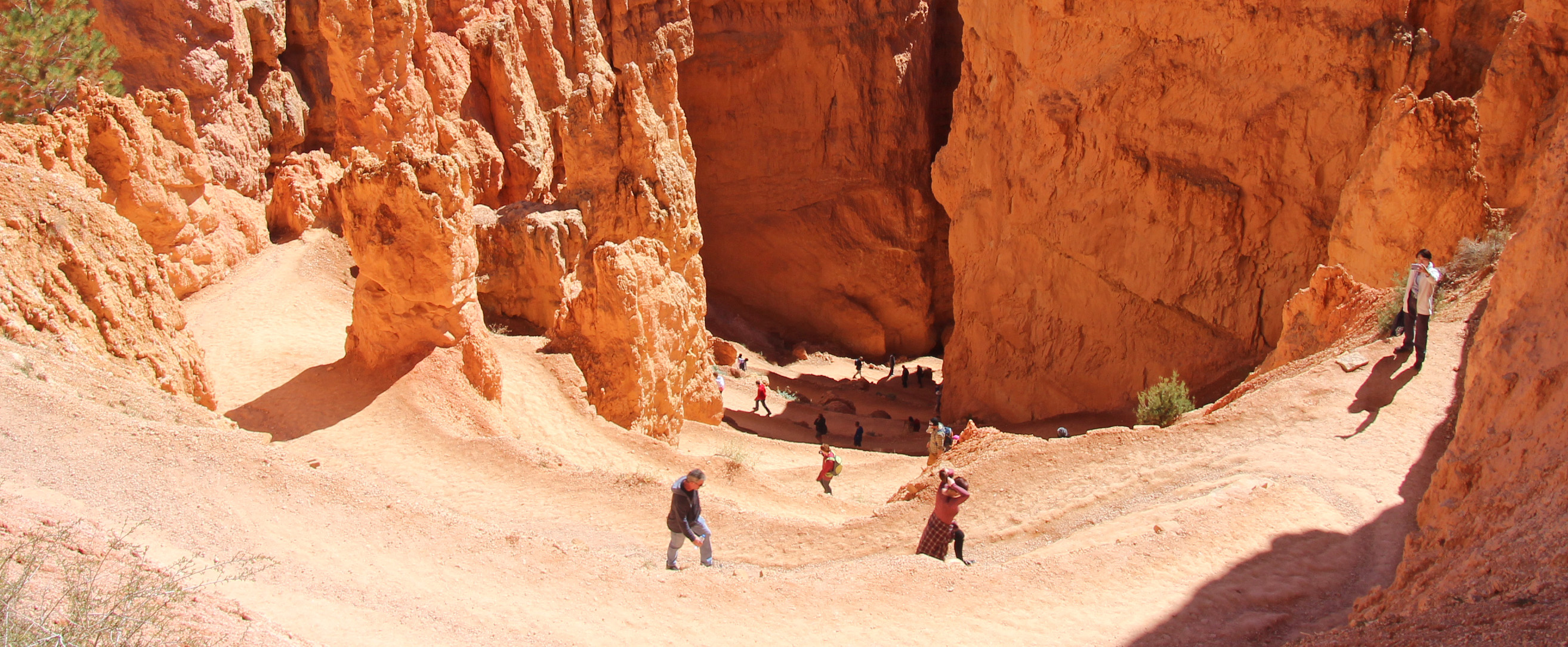


Finally at the top you could look down across the valley of hoodoos we had walked among and back from our spot on Sunset Point to Sunrise Point. Pretty much 3 miles, although our fitbits said closer to 6, but why quibble. It was an accomplishment.
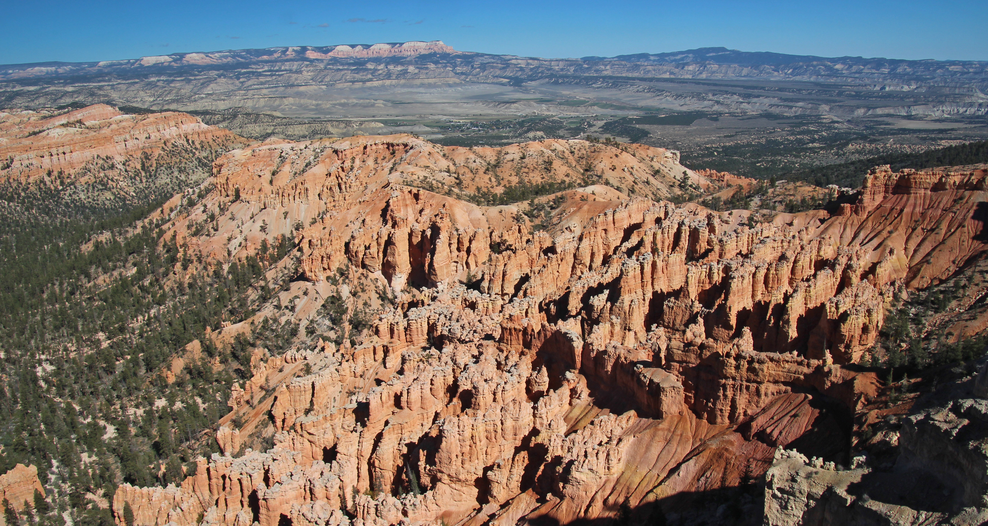
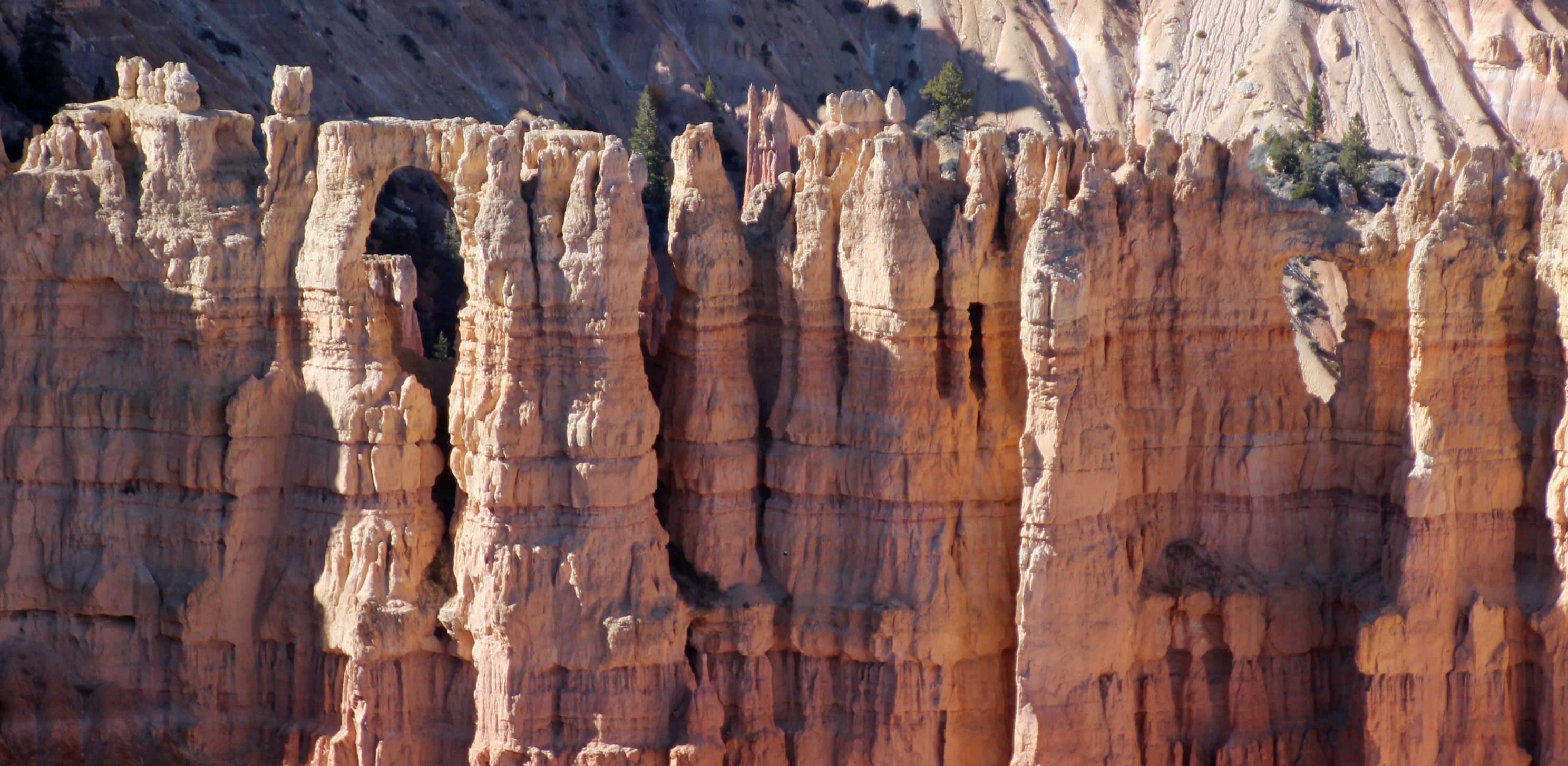
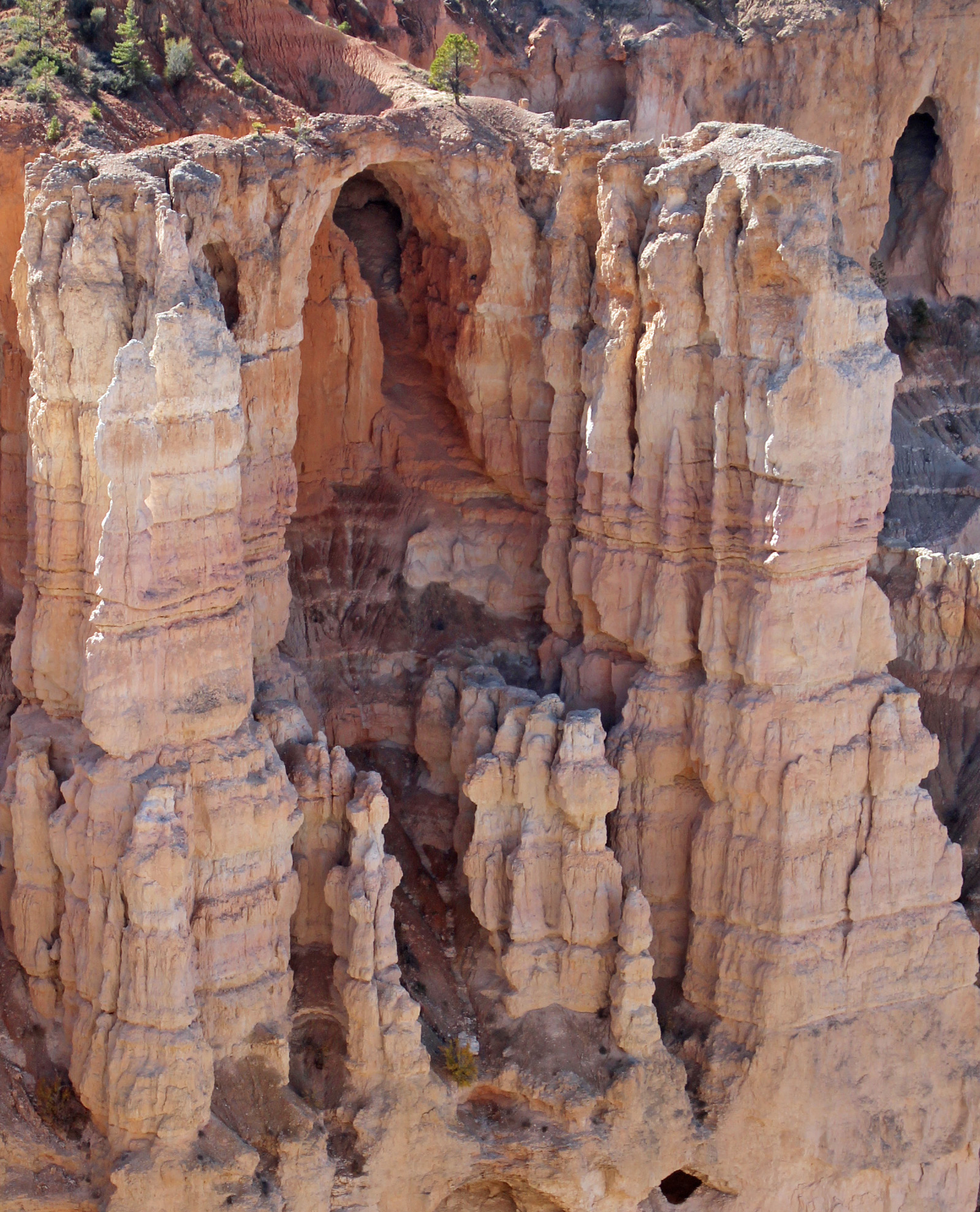

One more drive further into the park to Bryce Point – another amazing overlook, and we sat to have lunch. Wow. Lots of folks here. On the drive out we stopped to watch some prairie dogs (yeah, wildlife!) and made our way back through Tropic to camp. A short nap and “breakfast for dinner” followed. We have heard various weather reports that change with the elevation. At Bryce they are expecting lows in the teens; in our spot, a thousand feet lower, we are expecting 20’s overnight. Everyone says snow for Tuesday, our departure day, so who knows? I unhooked, drained and stored the water supply hose, since we are full in the water tank. Since it is so clear out, it should also be a wonderful night sky filled with stars, planets and constellations that befuddle me, even with a guide.
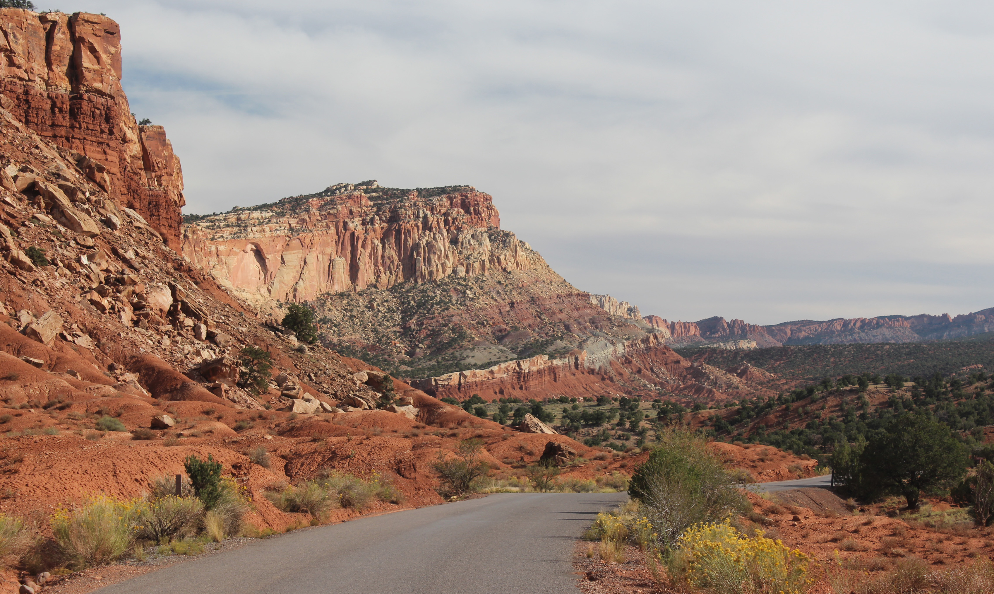
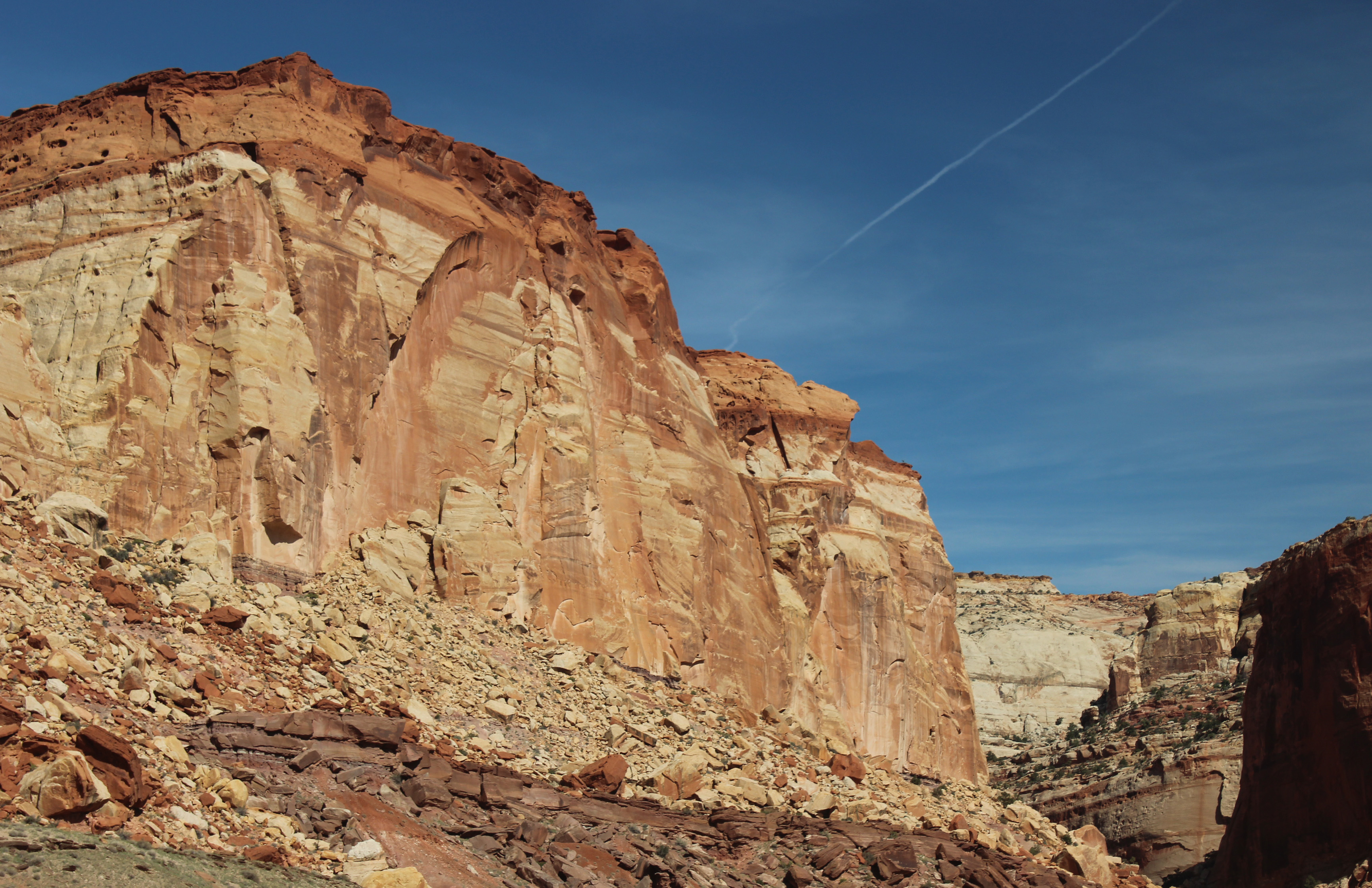
Well our last day in camp started cold, 33 degrees, but we were just looking to complete two things on my checklist: Drive to Escalante and Boulder to find the Burr Trail Road and then find Long Canyon slot canyon. That was just over 60 miles (long distances are nothing out here) and some elevation changes up and down 1,000 to 2,000 feet. Off we went, stopping at the Grand Staircase/Escalante Visitor’s Center in Escalante. Very helpful information about how to find the unmarked slot canyon. Town was cute, just a few markets and eateries along the main road, but it was way bigger than little Boulder. The scenery was the star, however, as the drive wound around, up and down, with the rock formations changing grey shale and stone to white, rather smooth stone mounds and hills to red rock and shale once again. In the canyons the aspen and the cottonwoods were turning a bright yellow-orange.
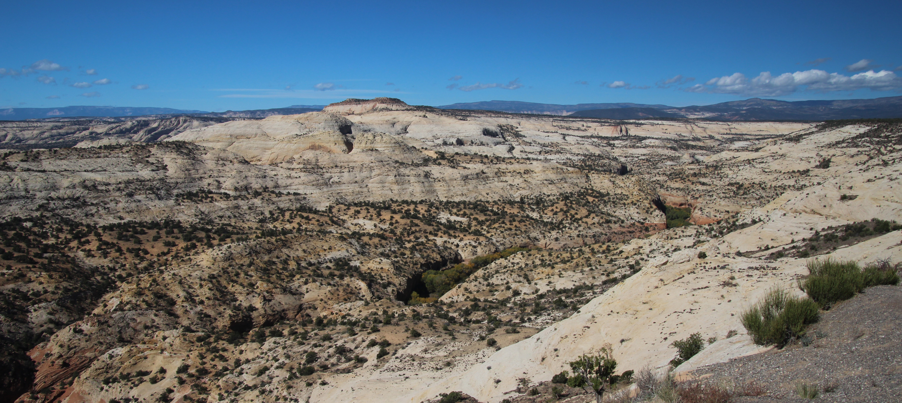
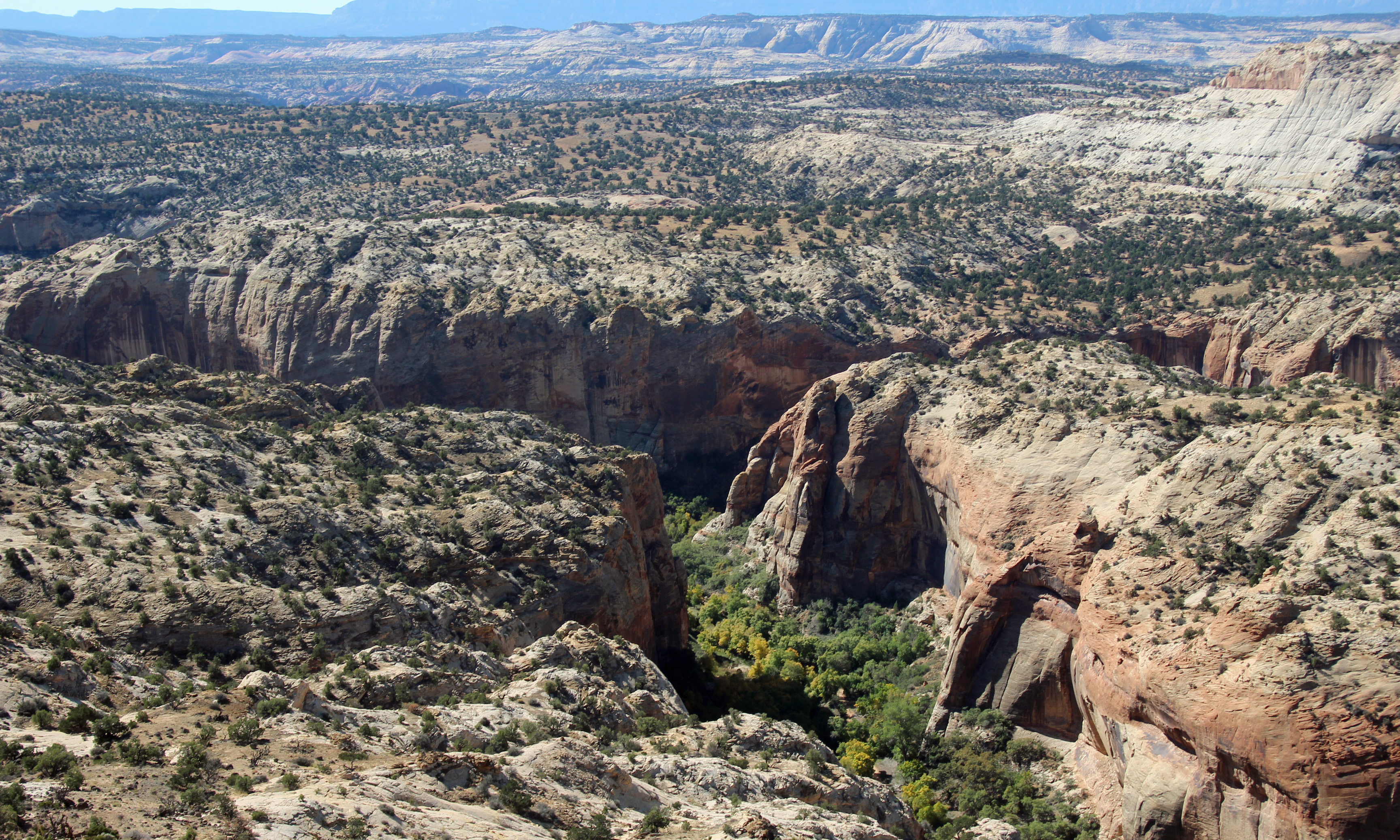
Once in Boulder we stopped for lunch at the only eatery – the Burr Trail Grill, just at the start of the road. Awesome little place with a delicious lamb burger and some sugar wings. Never had them, but now I know they are hot wings with a sweet coating of sugar. Lips burning kind of hot. They also had homemade hand pies big enough for two, so we bought spicy cherry and caramel apple with cardamon. Should be good later tonight with some hot cocoa.


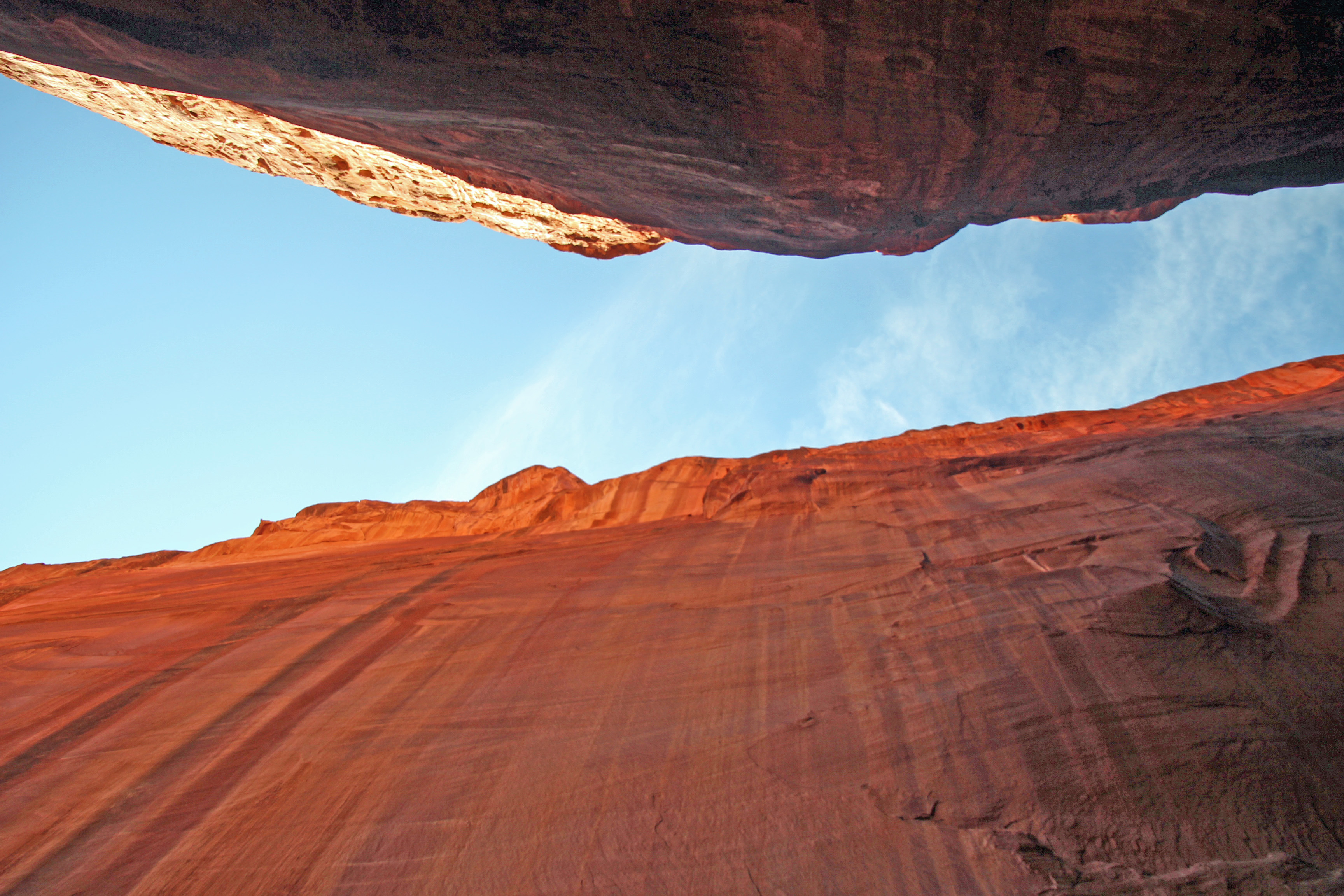
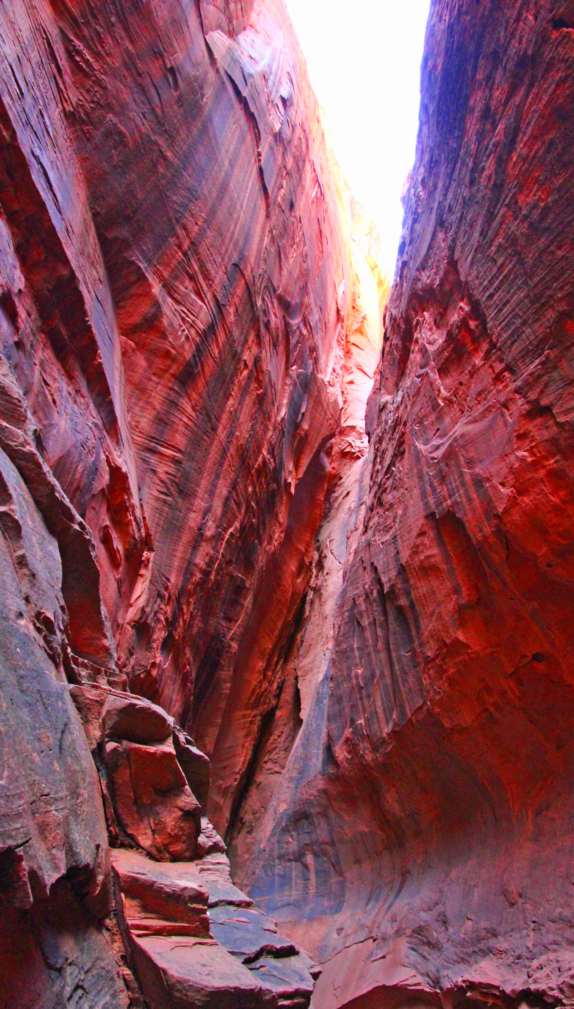
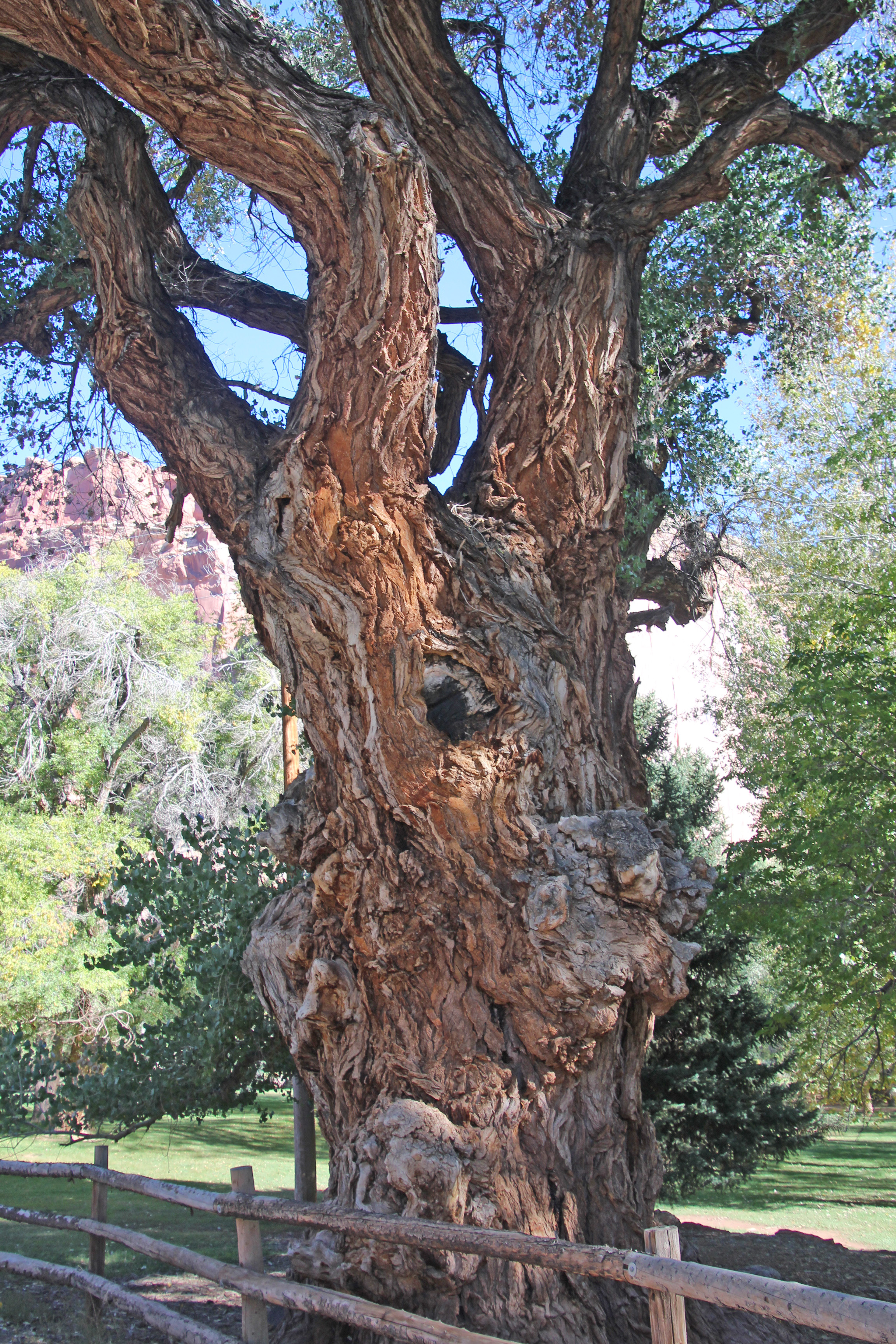
Studying our information closer, it looked as though the Burr Trail was a paved road at least as far as the slot canyon. It turns to gravel/dirt, but much further south. That’s good, because I wasn’t looking forward to 11 miles of washboard again. Soon we found the big cottonwood that stood outside the slot in the red rock and pulled over. Clearly a well-worn stop and the path was pretty obvious. Into the split in the rock we went, the cool breeze blowing outward. How perfectly wonderful! It was maybe only 100 yards in until you reached where the little gap let in only a dribble of water. But the sheer walls rose up hundreds of feet and echoed your voice around the space. Not surprisingly we were followed in by several other folks, but there was room for all and time for plenty of pictures.


On the way back to camp I hooked up the GoPro to the bumper and filmed the Burr Trail Road and parts of Scenic Highway 12 back to Cannonville. Hope to put that on our youtube channel when back home so you have a idea of how this landscape looks. Totally amazing. For the weather tonight there are various reports of rain, snow, mixture and maybe temps in the 20’s. It all depends on your elevation. Bryce is the highest spot around, so on our trip out of here tomorrow, which climbs relentlessly uphill to the Bryce Canyon entrance and then down through the very scenic Red Canyon (with two short tunnels!) we might see some flurries. Yippee! Yet another reason to lose sleep tonight.
Thanks again for joining us on the journey. Shout out to our hardworking teacher daughter Karina and her equally hardworking husband Jason and our two grandsons! And to Alex, Bethany and Jim for teaching us how to get our Jeep all muddy.























Comments