Oh my, it is now fall and I haven’t updated our adventure blog since our trip to Jekyll Island, the Okefenokee Swamp and Panama City Beach. That was a wonderful adventure. We haven’t had any other big camping trips, just keeping busy locally. Moving to a new house has been a big step for us and is keeping us quite busy – some improvements and discovering what will grow on our acre. Figs were a big surprise, keeping Doug busy with making preserves, tarts and breads. We planted two crops of delicious corn, were overrun with yellow squash and were surprised with so many blooming flowers and shrubs. And Doug has been crafting lots of new glass sculptures, bird baths and solar fountains, now that he has a new dedicated studio space over the garage. Several new videos have been posted to his YouTube channel – check them out!
We have also been exploring the “neighborhood” by visiting some fun wineries in the Georgia Mountains with friends and family – part of our Brew Crew. We still have a few great breweries nearby that feature some delicious craft beers and food trucks. We went kart racing at Atlanta Motorsports Park with family and had a blast! Jason is head chef there and is building out several great eateries for guests. A Taste of Woodstock local food festival was lots of fun and we volunteered to pour at Acworth’s mimosa festival (that featured a monster thunderstorm that drenched us just as our shift began!).
We did have a camping week at our nearby Lake Allatoona, which was great. Our grandsons joined us overnight and we had fun with the kayak and paddleboards. It might just have been our last camping adventure in the motorhome, as we have decided it is time to clean it up and put it up for sale. It is rather sad, since we have had such amazing, exciting adventures in it over the past 10 years. It took us to all of the national parks we could reach (excepting the Pacific coast), many fantastic state parks and so many wild and crazy adventures. That may not end, just not in this particular motorhome.
You might wonder why this post, given that we really haven’t been camping at the beach, in the mountains, or someplace off the grid in the West. Well, we have our next adventure coming up and I wanted to alert you to what may be posted on the blog by Thanksgiving. To celebrate our 50th wedding anniversary this year, we decided to visit a place that holds a lot of meaning for wildlife biologists like us: visiting the Galapagos Islands off Ecuador. This is a special place that instructed Charles Darwin on his theory of evolution. Our trip will start with a day in Quito, Ecuador before flying to the coast and boarding our ship, the Celebrity Flora – limited to 100 guests and reached by a zodiac raft.
Each of our seven days onboard will include morning and afternoon hikes, snorkels, exploration and discovery, moving between several islands. We are so excited and maybe just a little nervous about this exploration cruise. It should truly be a trip of a lifetime and I hope to have enough stories and pictures to share when we get back. I will take a notebook instead of the computer, so it may take a while to compose the blog … and to sort through what should be awesome pictures and video.
So stay tuned for the big post-cruise posting while you are sipping your pumpkin spice latte and bundling up in the chilly fall weather. Hope to share more soon. And thanks for being a faithful reader. Why not check out some of my glass sculpture videos?
Cruising again into the Caribbean! Wow, I know it seems like we just got back from a Caribbean cruise – and we did. In September it was aboard the brand new Utopia of the Seas with our grandsons and this first week of December is aboard the Wonder of the Seas, just the two of us. We accumulated enough points on the Royal Caribbean credit card to get this cruise “free” (well, of course we had to buy the drink package and a few special dinners). What an amazing adventure! Let me give you some highlights:
The Saturday after Thanksgiving we were on the road with Santa’s sleigh to Orlando to stay the night before boarding on Sunday. Normally a fairly easy trip, but this one took a few extra hours due to a few wrecks and slow-downs. But we were soon checked in, having a flight of beer and dinner at Rock & Brews and talking about plans. Parking, security and boarding were easy and quick and by 10:30am we were looking for that first “welcome aboard” drink. Awesome! Our room was Deck 9 all the way forward, with a nice big window out the bow. It gave us a bit of extra space, too, but you had to watch your head.
On the pool deck I zipped down the Perfect Storm waterslide, the one that ends in a big funnel. And since it was pretty quiet up top I had to try the FlowRider while the line was short – in fact there was no line! My first attempt was a little wobbly, but the next time up I was able to quickly get up on my knees on the board. Getting off can be tricky, however. Love it!
Our first stop the next day was at Perfect Day Coco Cay. We opted to purchase a day at Hideaway Bay, the new adults-only beach and pool on the island since we did not have youngsters with us this trip. What a nice spot! A huge heated infinity edge pool overlooks the private beach area and several bars and eateries surround you. A huge swim-up bar made it easy to quench your thirst and we munched on various slices of pizza and apple empanadas. It was sunny and warm, but there was quite a breeze. It made it feel just a bit chilly on the beach, so after a dip in the salt water we stayed mostly in the pool. A tram back to the ship made it easier on the return. Overall, great day.
One of my goals was to search out all the various Old Fashioned drinks at the bars. It made for very tasty evenings of toasted marshmallow, apple pie, peanut butter and jelly and basic Old Fashioned with several types of bourbon. Now that is my kind of scavenger hunt.
I tried craps in the casino each night, but it was really not much action at all. Most of the few players were new to the game and it wasn’t until the last night that we had a reasonably full table and some action. Too bad, I enjoy the game.
On our port calls to Cozumel and Costa Maya we stayed aboard to enjoy the pools and hot tubs, lounge chairs and solarium with lots less crowd. Surprisingly, there were lots of infants and toddlers on this cruise. A fair number of elementary aged children and a very international crowd. You just never know, but as former teachers we are always on the lookout.
The ship was decked out for Christmas and the large tree on the promenade deck was a favorite spot for picture taking. We had such fun people watching from either the Schooner Bar or the Pub as couples and families paraded by or tried to stop others from walking through the selfies. Formal wear competed with crazy Christmas sweaters, light-up necklaces and matching family outfits that would look crazy in any other setting. We were in the spirit too, as Jackie had crocheted a gorgeous tree for our door decoration and I pulled out one of my Christmas ties.
And of course the food was always something to think about. We got a bit goofed up with our main dining room reservations, as is usual for us somehow. A change in policy with Royal puts reservations with My Time dining starting at 6:45, and we wanted to eat earlier to get to the entertainment. We did manage to eat on the special nights (lobster and prime rib nights) but also reserved the Hooked seafood specialty restaurant and 150 Central Park restaurant for some delicious meals. Well worth the added cost. I have a sampling of food photos (who doesn’t?) to show you the good eats. Oh, and Jackie got her beet salad, with plenty of beets arranged artistically.
Our last night was pretty special. We went to Giovanni’s Wine Bar for a wine flight and charcuterie platter and pretty much filled up. Our waiter was great, telling us about each wine and giving us a full pour of each, which was included in the drink package! He also slipped us a dessert plate of petit fours.
The entertainment was fabulous, although the volume was chest thumping loud. Aqua show featured all the expected elements of high dives, aerialist, slack line and water dancing – high energy and splashing for sure. The ice show was just wonderful, with lots of jumps, spins, costumes and dancing. And the two theater shows included a song and dance show with every sort of stage movement and wire harness possible and later the Effectors, a superhero story with all sorts of special effects, including lots of little drones and one big drone that circled above the crowd, with the bad guy aboard!
Our only excursion was at the port of Coxen Hole on the island of Roatan, off the coast of Honduras. We were driven to the other side of the island to do a three reef snorkel with lunch following at the beachside spot. Christopher, of Christopher Tours did a great job of navigating the crowded, muddy streets of Coxen Hole and hosting us for lunch at his adventure spot.
How did it go? Well, the first snorkel was a shallow sandy reef filled with large colorful starfish. The water was warm and felt wonderful. We moved further along the shoreline to do a float above the coral reef, filled with lots of coral, fish and fans. It got a bit shallow at times and we had to flatten ourselves to make it up and over some of the coral. It was getting pretty windy and choppy, with a pretty good water current, so I felt pretty winded by the end of this long snorkel. Plus, I think that holding the gopro camera hampers my swimming a bit.
The third spot was a swim around the wreck of an old tanker just at the reef edge. I started out, but was still pretty winded from the previous swim and opted to head back to the boat. Even with my light swim vest, it was a challenge to work against the current and wind chop. We were also warned about the fire coral and shallow areas to glide over, so I think it was the smart move. Jackie said the fish weren’t much more plentiful and it was a bit rough, too.
Back at the dock we had a choice of chicken or snapper, so I opted for the local fish. Served whole and fried, so I picked my way through a surprisingly good lunch. Local cerveza, too. Altogether a nice excursion, even though the town of Coxen Hole is a challenge (extremely poor and crowded).
Back aboard ship we just took it easy. I tried to find all of the special art – this time it was astronauts not monkeys (on Utopia). We found nice loungers on the pool deck, spent some time in the adults only solarium, listened to all the live music we could and sampled food and drink everywhere. Funny story about our favorite bar, the Mason Jar. They featured some of the best Old Fashioneds – Apple Pie came with a little apple pie, Peanut Butter and Jelly came with two little PB&J sandwiches – and they had a nice country music trio playing at night. We were warned by the bartenders that these were Romanian country singers, but you know what? They sang the tunes with the right southern twang and it was only when they chatted between songs that you couldn’t follow their Romanian accent. Rather strange. It was all good, until they started in with John Denver and we were sure they had no idea where West Virginia was . . .
So, that is how we spent the week after Thanksgiving. We planned this cruise back in May, not knowing we would also be moving in December. Yes, just weeks before the cruise we found a house we love on an acre of land just minutes from our grandsons. It is only the next county over, but it will be a big change for us: single floor living with some elbow room and a nice big workshop for Doug’s many craft adventures. So the end of the year adventure is to de-clutter, pack up and move before New Year’s. Are we crazy? I think maybe.
Until next time (and it may be a while before I am back online), enjoy the holidays and happy adventuring!
We were lucky when so many others were not. You see, we booked a week’s stay at St. Andrews State Park in Panama City Beach, Florida during the “iffy” hurricane month of October. We managed to book this back in the spring, something that is nearly impossible to do, and were looking forward to our annual beach vacation at our favorite spot. Even though we just returned from a wonderful family cruise in the Caribbean, without any tropical storms, there were storms developing – the first was Hurricane Helene. Here at home we had only rain (7”) so packing the motorhome and getting the Jeep ready was no more difficult than usual.
Off we went, with Binx (cat) and Kodi (dog), towing the Jeep and ready for beach fun. We usually break up the 7 hour trip by stopping halfway at Lakepoint Resort State Park in Eufaula, Alabama, but we were making such good time that Jackie got on the phone to look for options closer to PCB. As she was searching the Florida state parks it occurred to both of us that we were traveling just 2 days after St. Andrews reopened from the hurricane closure and maybe there would be availability. Well, in fact our reserved site was empty and we were told to “come on down” before 5 and check in. So we kind of got a bonus day, arriving by 4 and setting up camp.
And of course the first day was gorgeous. Calm waters, a slight breeze, even yellow flags for swimming. You never know what to expect at the beach here, but recent renourishment has left a wide beach on the Gulf side and on the lagoon side along the inlet. Nice. And the water, though brackish and tea colored, was the perfect temperature. So what did we do? Enjoyed our time at the beach and beach bars of course. Here are highlights, with lots of pictures.
Bobbed and floated in the flat, calm Gulf of Mexico
Tried snorkeling, but it was just a bit too murky along the jetty
Grilled some delicious meals
Ate fried grouper and hush puppies at Schooners
Stayed for the awesome sunset and cannon burst (ok, it’s a small cannon)
Took our “refill” mugs to dinner at Sharky’s and had frozen daiquiris with our meal of Mahi tuna tacos
Avoided a few jellyfish on the first few days
Wondered where all the dragonflies were coming from, they were everywhere
Rode our ebikes around the park several times
Saw a bald eagle twice
Swatted away small biting flies at the beach
Watched the dolphins feed just beyond the waves
Saw lots of mullet and other small fish
Watched osprey and pelicans circling and diving for fish
Caught several more beautiful sunsets
Noticed the upgrades to the roadways in the park
Went shopping at Pier Park on one cloudy day
Found a new winery and stopped for a glass
Sunsets, sunsets, sunsets
As our final day approached, we watched the weather reports for the growing storm in the Gulf. As you know it quickly developed into category 3, then 5 Hurricane Milton. Reports of evacuees driving north out of central Florida, gas availability and traffic jams had us a bit concerned, but we were north and west of the path so we stayed to the end of our reservation. That put us leaving just two days ahead of landfall. But our trip north was no problem – light traffic, easy gas fill-up.
Again, we wanted to break up the trip home so we booked a night at Roosevelt State Park near Callaway Gardens north of Columbus, Georgia. Great pull-through spot in a quiet wooded park that was quite nice. Next morning we finished the trip with a 2 hour drive home, that only got nasty when we hit the interstate around Atlanta. A couple of wrecks had things backed up, so we dodged around them on back roads.
So we now find ourselves unpacking, cleaning the motorhome, doing laundry, grocery shopping and all the usual stuff when you come back from vacation. We are also quite thankful that Hurricane Milton missed us and did not cause damage for any of our extended family in Florida and South Carolina.
What’s next? Mostly some home time with family and friends. Just after Thanksgiving we have yet another cruise set aboard the third largest ship in the world: Wonder of the Seas. Sounds crazy, but this one is a points redemption cruise from our Royal Caribbean credit card – and it is just the two of us. We feel extremely fortunate to be able to enjoy this active, retired lifestyle – it makes the years of hard work worth it.
And I would sure appreciate it if you checked out the many videos posted online of my “Adventures in Glass” series. I’m deep into this hobby of garden sculptures, fountains and birdbaths and filming the process. View, subscribe and enjoy: youtube.com/@adventureswithDougandJackie
It was nearing the end of July and the heat in Atlanta was well into the 90’s. It had been a fairly dry few weeks so we were looking forward to our camping trip to the lake, barely 15 minutes down the road. It was easy to dismiss camping so close to home. After all, would it really feel like getting away from it all if you could run home to grab something you forgot from the fridge? But I was wrong about it. This was a great spot, in fact it was THE SPOT on the lake. You know, that perfect campsite that was level, dry, positioned along the waterline so you had the perfect view. Just a few steps down to a flat gravel entry into the water. Yep, that spot, which was always NOT your spot. You had the one that was weedy, some low spots with muddy ruts and not really a good view of the rocky lake edge.
BUT this time we had that spot. It was easy to back in the level spot, hook up to electric and water, pull out the awning and set up chairs and tables. A nice breeze floated across the lake and we were set for some great days on the water. With one big question mark: would the weather cooperate?
We planned this week for the few days we were going to watch our grandsons during our daughter’s school pre-planning days. Yes, we get started with school early here in the south. So that first day meant having the boys (ages 6 and 8 now) help us load up the motorhome in the morning with food, clothes and supplies. Binx (our new adventure cat) and Kodi (our dog) were ushered into the camper. Paddleboards and kayak were strapped to the car and we dug the seatbelts out of the sofa in the motorhome so the boys could ride over with me. Well that was an experience for them, as the big box bounced and lurched along. I know I enjoyed listening to them giggle and talk about the bumps and turns.
After setting camp, Jackie took them back home for a swim lesson and we were left to settle in and enjoy the night in camp. Except that night a big storm front came through, with rain, wind, lightning and thunder. Darn.
Early in the morning Jackie drove to get the boys (it was maybe 30 min away), stop by the store to pick up new water shoes and a life jacket and bring them back to camp. And the day improved from there – peek-a-boo clouds but dry.
We spent the day in the water, with the boys testing their skills with the kayak, going for a ride with us on the front of the paddleboard and just splashing around. Water was a perfect temperature and the lake was mostly quiet since it was a weekday. Wyatt spent time collecting snail shells on the shoreline – we advised him to let them dry on a table at the campsite, but to check there were no snails inside.
Dinner was hot dogs, potato puffs and cherries, followed by S’mores and ghost stories around the campfire. Ok, this one was a bit of a cheat. We had our propane campfire, but forgot the marshmallow forks, so we tried making them in the microwave – which actually was darn good. Nobody had a burned black mallow. And the ghost stories? Very creative.
This was the first time we used the dinette for a bed, where you lower the table, add the back cushions and presto you have a bed perfect for a youngster. The sofa was opened up so we had two spots for what we hoped were two tired boys. Yeah, I think we fell asleep before they did.
After breakfast the next day, a short walk with the dog for a garbage run and walkabout, and we all were back in the water. Much more climbing and jumping off the paddleboards and a nice final trip along the shoreline with both boys on my paddleboard. Wyatt checked on his snail shells, which he had put in a plastic bag overnight. You probably know the result: major stink in the morning and the shells were returned to the shoreline. Except maybe a few made it back home . . . ?
Soon it was time to dry off and run them back home. They might not have been ready to leave, but it had been a fun-filled two days. It was Friday night and a perfect one, as Jackie and I sat and watched the boats and jet skis on the lake, a gentle breeze blowing, adult beverages in hand and wondering “is 9:30 too early to go to bed?”
We were staying through the weekend, planning to pack up and head out Monday morning, and that worked out just fine. We floated around in the water, paddled around and just enjoyed ourselves. But of course on Saturday night as I was set to grill a steak, I waited a bit too late and a storm rumbled up and I was grilling in the rain. And of course the morning we were packing up everything was kinda wet. Rugs, shoes, towels, awnings. But things dry and a hot shower awaits back home (although I did have one really nice shower in the RV). With the paddleboards and kayak, Jackie headed home. I dumped the tanks and followed with the dog and cat as passengers.
Big success. We have decided we need to book some weekdays next summer at THIS campsite as soon as the reservations open up. It really did feel like we were miles away from home instead of down the street.
I should mention that I just finished replacing the floor of the motorhome with some LVP flooring. It worked out remarkably well, even though I kept my fingers crossed when we lifted the slide back into the RV. All good. I have a video of the process ready to post on YouTube in case you are considering such a move.
So what’s next for your favorite adventurers? Well, I am in the midst of making lots of glass garden sculptures, fountains and birdbaths and filming the process. I have them posted on my growing (can you believe it?) YouTube channel. I would appreciate it if you view, subscribe and enjoy: #adventureswithDougandJackie
And we have another family cruise coming up this fall aboard the brand new, second-largest-in-the-world ship: Utopia of the Seas. Stay tuned.
Hey there, it’s HOT outside! I guess no matter where you are this summer, you are experiencing darn hot days and nights. Same here. It’s one reason we don’t usually camp during the summer months, since being retired we have the option to camp in spring and fall. But it is also a good time to make any needed repairs or upgrades to the motorhome.
This year the RV turned 20 and the mileage is now just shy of 100,000 miles. I feel it still has miles and years left to go, but some things are showing their age – like the flooring. Regular readers of our blog will recall that last fall we had a situation as we prepared to leave Pigeon Forge. While retracting the living room slide, somehow the sofa caught the carpet, ripped it and wouldn’t close completely. We did get the slide to close, but only after tearing back more of the carpet. We knew we would have to do something about it, but since it was in for repairs from the side-swipe damage, we were pressed for time before the big Bourbon Trail camping trip this spring. So a throw rug covered the gap for that trip.
Back from that trip we had a couple of issues that needed to be addressed in addition to the carpet rip. One of the newly replaced hatch doors would not latch shut, the backup camera would not power on and we smelled gasoline in the bedroom when the generator was turned on. Thank goodness our local RV dealer was caught up on repair work and took a look almost immediately. Open Road RV took a look on Friday and called on Saturday that it was fixed and we could pick it up on Monday. No way! That was great. Turns out the camera issue was a fuse (which I suspected, but could not locate in the tangle of wires) and the gas leak was a crack in the hose connection to the generator. OK then, I had no other excuses not to work on the flooring replacement. Darn.
Now – I think I have earned my merit badge in flooring, since I have put in laminate, tile, engineered hardwood and vinyl plank floors for five bathrooms, two kitchens, a laundry room, dining room and living room, all with but a few choice words. But pulling up the carpet and tile in the motorhome and replacing it with vinyl snap-in planks was still going to be a challenge. Our biggest concern is the slide, of course, which was a bit of an unknown. To make this a reasonable project that would suit our needs we opted not to replace the carpet in the driver’s cabin and to start the new floor just behind the dog house (engine cover). I also wasn’t sure about access to the floor under the bedroom slide, so we were going to leave the bedroom carpet for now.
This project really required both of us, and it was made easier when we split tasks. We emptied out the space, extended the slide, removed the swivel recliner and started ripping up carpet, pad and tile. Jackie wanted the vents repainted to match, so she cleaned, repaired and repainted those plus the metal transition to match. She was also on the staple pulling mission – lots of staples were pulled out and a few were just pounded in. The plywood floor was in good shape, just real sticky where the tile glue remained. For the most part, the vinyl went down pretty easy – at least at first. Some pieces just didn’t want to stay snapped together as I moved down the hall, mostly the ones that went under the dinette, but eventually it all went together with just a few frustrating moments. I put together a video of the process in case you care to attempt it (maybe reconsider) or if you just want to have a look at how it went. Motorhome Flooring Replacement
The floor is now one uniform surface, brighter and easier to clean than the carpet and tile that was original. Yes, it does make the rest of the upholstery look a bit dingy and dated, but frankly that isn’t important to us now. If we can get another three years of camping adventures with this unit, we will be quite happy.
Speaking of future plans, what is up next? Well, we have a couple of days set for camping on the shores of our nearby Lake Allatoona with our two grandsons. It will be summertime hot, but we have our kayak, two paddleboards and plenty of floats to splash around in the lake – so we aren’t worried. Then we have almost 2 weeks in St. Andrews SP in Panama City Beach in October. We also snagged a week there next spring following a trip to Jekyll Island and then the Okefenokee swamp. And there are plans to find a few more spots in Alabama and Tennessee to camp and hike. So it looks like we are ready to rock and roll once again to discover new adventures.
Thanks for coming along on the adventure. And if you want to watch some of our video adventures (and glass crafting, bread baking and such) go to YouTube and search #adventureswithdougandjackie. I could use the views!
As we left the campground of Hocking Hills State Park and made our way along the narrow serpentine roads out of the hills it was West Virginia in our sights, one more state to add to our “places camped” map. We mostly followed along the Ohio River on the West Virginia side, which was a pretty torn up two lane due to a lot of trucking activity, railroad crossings and a patchwork of road repairs. What fun in a large motorhome! But as we got closer to the destination, Beech Fork State Park, the roads got narrower, winding once again, and then a complete stop for the trailers, cars and trucks ahead of us. What was up?
It happened that a fairly large mobile home was being moved/towed out of the area and they might have managed to get stuck in the shoulder or something. It was a half hour of sitting, watching the engine temperature to be sure it didn’t spike while at idle, asking folks who were walking to check it out, and then we began to move. Yep, there it was, taking up most of the road, with traffic slipping past, half on/half off the roadway. It was a tight grip on the wheel, slow as she goes, hope we don’t scrape kind of move that put us finally past the “house” and maybe a mile up the road to camp. Ok, enough excitement.
Campground was pretty large, sitting alongside a quiet lake and less than half full. We unhooked the Jeep, backed into the site and got ready to relax for two nights. No big hikes here, no caves, just a quiet spot by the water. Well, some drizzle overnight with a chance of more rain the next day. We’ve been lucky to only have some brief overnight showers and otherwise gorgeous sunny weather daytime, so we couldn’t complain. But this big thunderstorm rolled in just after lunch and pounded the RV. Booming claps of thunder and just a lot of water came down as we smugly congratulated ourselves for not being in a tent.
It cleared off by dinner and we sat out to watch some good birds around us. Yellow warblers sang “sweet sweet, I’m so sweet” and flitted in the nearby trees and then we spotted a larger yellow and black bird. Hmm, wait, there is the male … a bright orange and black Baltimore Oriole. Nice. The female kept coming back to pull strips off the old milkweed stems, no doubt getting nesting material. And while watching a couple of mallards walk around the shoreline, we noticed another pair that were in fact wood ducks. Tried to get some good pictures as they swam off and we remarked that this evening on the lake was pretty cool indeed.
As we got ready to hit the sack, Jackie said her pillow felt wet. Wait, the bedspread was wet, too. Very wet, as were the layers below: the blanket, the sheets, the mattress topper, foam egg crate and the memory foam mattress below! What? It seems that the rain must have puddled on top of the slideout and made its way inside (were we not fully extended?). That meant we were draping sheets and blankets around the motorhome to try to dry out. We pulled out the couch and slept with just two small afghans – but it was surprisingly comfortable.
In the morning there was a slight breeze and plenty of sunshine, so we draped the blanket over the awning support, used the dashboard as a drying rack and raised the mattress off the platform to get some air circulation. After a walkabout with the dog (saw a box turtle), morning showers and a garbage run, it was time to dump the tanks and hit the road. Our trip back into Kentucky was barely 3 hours, but the twisty 2 lane was waiting for us. Jackie volunteered to drive the Jeep out until we found a spot, maybe a rest area/welcome center in Kentucky, to hitch back up. That made it easier to navigate the country roads until we were on the Interstate.
But signs announced the rest area was closed, so Jackie exited and headed for a Flying J gas station. Only problem was that a nearby ATV/UTV/Motocross event must have just concluded – there were super muddy 4-wheelers on trailers everywhere. Absolutely crazy busy, but we found a level spot to connect the Jeep and get on down the road.
We found our way to a nice parkway going into the Red River Gorge area that had a large, level rest area that was perfect to have lunch, get a few maps and unhitch, since the Natural Bridges State Resort Park was just 2 miles up the road. Perfect. Up the winding road and we found our destination: Middle Fork Campground in the park. As we dropped down into the riverside camp spot I had to wonder if the posted sign “Warning, Flash Flood Area” would come into play, with rain and thunderstorms predicted for the next couple of days.
Since it looked like wet weather was headed our way, we quickly drove around to the one feature we wanted to see: Natural Bridge. You have a nice option to ride a chairlift “Sky lift” one way to the top or round trip. Oh heck, the trail down looks to be about a mile, so let’s ride up and hike down. The trip up was gorgeous, with lots of blooming wildflowers and ferns below us, mountain laurel in bloom, even some Sweetbay magnolias blooming. At the top we hopped off and hiked over the sandstone bridge and then circled down and under the arch. Very cool spot and some pretty narrow stone stairways and passages. And although the hike down to the parking area was mostly downhill and the blooming mountain laurel was colorful, we are certain it was much longer than the “1.75 miles” noted on the trail sign. Jackie was ready to crash as we finally saw the parking lot, with more steps yet to go! Wow, that took the last of our energy. Watch the video of the hike here: Hiking Natural Bridge
And yes, back in the RV our bedding had finally dried and we could get a proper night’s sleep.
The next of our two days here was a kayak adventure through an underground, flooded mine. Certainly not something we have ever done. Several layers of light clothing, water shoes and the GoPro camera – we were set. After our safety briefing, suited up with life jackets and helmets, we grabbed our paddles, slipped gracefully into the kayaks and off we went into the cold darkness. What fun. As we paddled along the 40 degree water that went as deep as 12 feet, we saw some of the large rainbow trout that were stocked and fed in the waterway. This wasn’t a wild, natural cave system, but it was certainly a unique experience that we loved. A video of the trip is posted here: Kayaking Gorge Underground
As if that wasn’t enough exercise for one day, we headed out after lunch for a drive around the Red River Gorge and the Daniel Boone National Forest to do some short hikes to arches and sandstone rock outcroppings. The weather prediction is for more rain and thunderstorms, so we wanted to get out before the rain hit. But somehow the rumbling stayed in another valley and we stayed dry. A short hike to Angel’s Windows and then Whispering Arch (half miles out and back) convinced us that we had seen enough of rock walls, arches and outcroppings for now. But one cool drive through a tunnel on the way back to check out the lodge, I hear they have a Trails End Tavern that would be a nice end to the day. Yeah, but it’s closed on Mondays and Tuesdays, so we were left to sit in the lobby and connect to WIFI.
That’s ok, we had a nice bottle of wine and a steak on the grill back at camp, with a cool evening to sit by the river and wonder about the coming rain and flash floods.
Final day in camp was spent editing pictures and writing updates for the blog, once again heading to the lodge for a WI FI upload. Thunderstorms rolled through the park and maybe 200 yards below our spot several trees came down. One hit a camper’s car and the wind blew a canopy into the creek. Lucky all we had was rain at our campsite.
The next morning we pulled out and headed home, with one last stop outside Knoxville at a KOA. Big storms on the drive. We both reflected on this 3 week trip and decided that it was really pretty great. We were able to follow the spring awakening through a part of the country we had not yet explored. The caves, caverns, rock formations, waterways and hiking trails really made this exploration special. And of course we love staying in National and State parks when we can. Wildflowers in bloom, spring birds singing, even the rainstorms all refresh the spirit and make you thankful to be able to enjoy it all.
This is probably the last post of this adventure. Thanks for coming along with us. Sign up for notifications so you don’t miss our next adventure. And yes, check out some of the many videos I posted on our YouTube channel. I hope to post video highlights soon.
What’s next? We have some repair work we will be doing in the RV. The carpet ripped during our Pigeon Forge trip so we have plans to replace the carpet and flooring in the main part of the motorhome. We have a few days reserved at our nearby lake this summer when we will have our two grandsons stay with us and a fall break cruise aboard the new Utopia of the Seas ship. Oh, and another trip to St. Andrews State Park on the Florida panhandle in the fall. Stay tuned.
It was time to leave the bourbon sampling behind and head out to Carter Caves State Park, just east of Lexington. To update you on the gasoline situation and check engine light, my next fill-up was with a higher octane gas and another can of high mileage Seafoam cleaner and the engine seems to be running just fine. I believe the source of the problem was a low octane gas from Buc-ee’s that caused the problems. We did just fine on the drive to Carter Caves.
Our camping spot this time is at Carter Caves State Resort Park, arriving on a Saturday. The excitement here is for the caves and hiking trails. We wound ourselves along a pretty narrow road, creek on one side, wall of limestone on the other and plenty of cars heading past us. Seems awfully busy for a rather remote spot in the Daniel Boone National Forest. Arriving in the campground explained things, it was loaded with trailers, trucks and kids and bikes and more kids and more bikes … wow. Fortunately our spot was a pull thru but once we unhooked the Jeep we decided it would be a better back-into spot. Very tight quarters among the pickups and trailers. Let’s hope things change by Monday morning. We leave on Tuesday.
At the Welcome Center we learned there was an afternoon tour of X Cave, so we booked it, changed into the proper shoes and sweatshirts and followed the guide into the very cold cave. X Cave is so named because you can traverse two passageways that cross in the middle, each one passes through the hill, so you enter, cross, exit the back, then return back into the cave to walk the other passage. The cave was a dry cave with very few drip stones but some nice formations and pretty easy walking, if narrow. It had lights added and some modifications made in the 40’s and 50’s to make passage easier (you used to have to climb a rope ladder to get to the entrance). Even though not pristine, these are very cool caves.
As we drove back to camp I spotted some distinctive black and white birds that compelled me to grab the camera and walk back to catch them. Not much luck, so back to the campsite I went. Our neighbor noticed the camera and said “you looking for those woodpeckers?” “Yes, but no luck,” I replied. “Well they’ve been busy all day in the tree above you.” What?? Sure enough, a pair of red-headed woodpeckers were digging a nest into the upper trunk of the tree – right above us. So, I was able to get a few good shots. Nice bird.
Gorgeous sunny weather meant the temperature climbed into the 80’s, then dipped down pretty cool at night. I feel like we have traveled back in seasonal time, too, since the leaves here are just coming out – mostly a lot of oaks with pollen (I thought we were done with that). Back home we went through this about 2 – 3 weeks ago.
Sunday morning we booked an early tour of another cave, Cascade Cave. This cave had some water dripping and flowing into it, with a few more formations and several large rooms. We saw some small bats along the way and got a pretty good picture of one hanging tight to the ceiling. Maybe the size of a large prune. Excellent hike though. Video of the two caves is posted here: Hiking Carter Caves
We also hiked short distances to see some of the natural bridges here in the park. Some of them are huge, wide and tall tunnels through the rock, one seemed ready to fully collapse, with stacks of shale looking more like stacks of books. One has the roadway crossing above. Lots of wildflowers blooming, most of which I remember, some ID eludes me (and I left our books at home). All of them look very cool up close. I found out the lodge on property had pretty good WI-FI so I was able to upload the first part of the blog for you to read.
Tonight is steaks on the grill and some bourbon drinks sitting out in the very nice evening while we watch the campground empty out. It is about 90% empty now, as the weekenders head home. Much quieter and relaxing.
Monday morning was our day to try another cave, self-guided Horn Hollow Cave. We needed a permit to hike this, so at the Welcome Center we filled out the form as the ranger asked “You have flashlights?” Yes. “You know about the water, right?” No, what water? It seems a creek runs through this cave, from ankle to mid calf deep, and we needed to rethink our shoes and pants. Back to the campsite to put on shorts and pack some water shoes. Now we were set to begin the hike to the cave, up and around some boulders, cliff faces and such, pretty much up most of the way until we slipped down to a dry creek bed where the cave entrance beckoned. We changed into the water shoes, got our flashlights ready and I put my GoPro on a headband mount. Ready!
Well, when you are the only ones entering a dark, wet cave, it’s a bit intimidating. And the water was COLD. Left? Right? Let’s follow the flow of the water to the right. It was pretty low in spots, but plenty wide and the flashlights were a big help, obviously. A small fish and a crayfish were spotted in the water, but no bats around. After about a quarter mile through the cave, the water began to run downward through a smooth channel and we were quite suddenly at the other end of the cave. How cool was that? So now what? We didn’t see an obvious trail out of the stream bed, so we opted to retrace our steps and go back where we entered. Changed back into our hiking shoes, had some water and granola bars and rejoined the trail back to the car. Altogether it was about a 2 mile hike, but once again an uphill climb awaited us just before the end. A video of the cave portion of the hike is posted here: Horn Hollow Cave
Ok, back at camp and time to chill for the rest of the afternoon. In the morning we will pack up and drive to Hocking Hills State Park in Ohio for more trails and caves and maybe another week earlier in the spring! Keep an eye out for more of the adventure, and try to look at these pics on a big screen.
It’s April and we are off on another adventure! Let’s get you caught up. When last I posted we were waiting for the repairs to our motorhome to be completed. The damage from a collision took out several of our basement doors, the boxes around the electrical and water hookups and generally made a mess of the left rear of the motorhome. Well the long wait for parts, installation and paint matching was complete by the end of March. I have to give a shout out to the folks at Open Road RV in Acworth for getting this done and keeping me posted on progress. Also, thanks are due to GEICO for covering this major repair.
Next on the list was to have some preventative maintenance on the engine. Our local mechanic did a one day service to replace the serpentine belt, spark plugs, wires and coils (awesome!) and then alerted us to front brakes that were 90% worn. Ok, new brake pads then. Plus a charge to the cabin AC. Ouch, that was a hefty bill, but much better than a breakdown on the road. We are just shy of 100,000 miles, so it was worth the peace of mind.
So after a good cleaning, inside and out, sanitizing the fresh water tanks and packing all our gear we are off on this next trip: the Kentucky Bourbon Trail. Yes, we will sample what we can, but rest assured it won’t be while driving the motorhome. It starts off with a visit in Nashville to our niece Rachel, who is graduating high school and her brother, Colin, who is celebrating his 21st birthday. A good time for the family to gather.
You may have noticed in the photos that we have a new travel companion: Binx. It’s been two years since Merlin passed and Jackie felt it was time for a new young cat around the house. This is the first motorhome trip for Binx, and so far he is doing just fine. He and Kodi bump noses and stare at each other, but they haven’t quite gotten to the “let’s play” stage yet. A little more time in this large box of a motorhome and they should be best buddies.
Up the road then to Mammoth Cave and camping in the park. It was a pretty easy drive up from Nashville, only a few climbs – I was sure to keep an eye on the engine temperature and that did not seem to be a problem at all. However, we had a new one pop up way back before Chattanooga, which I kept to myself until I met up with my son and brother-in-law in Nashville. It seems that only a few miles away from a fill-up at Buc-ees mega gas station I noticed the check engine light came on. And it stayed on, teasing me to be worried about the engine. With all the work we just had done on the engine, I was kind of scratching my head about the cause. It was familiar, as I think the last time it happened and I got all concerned about NOC sensors and the code that the computer gave, it was after another fill-up at Buc-ees. Well just get me to Nashville.
Before heading out of Nashville I added a can of Seafoam gas cleaner and crossed my fingers. I was surprised then that the light went out before we made it to Bowling Green and I was certainly happier.
Rolling into Mammoth was gorgeous. Just a bit behind our spring leafing in Kennesaw, but everything was greening up nicely. We pulled into our site, a dry or boondocking site, and leveled up, put out the slides and fed the pets. It was early afternoon so we went over to the visitor center and booked a 3:30 tour of Mammoth Passage. The cave is only accessible by guided tour (except in the busy summer season), so we were curious to try this extra tour that entered through the Historic Entrance. We have hiked in a few cave systems before: Carlsbad Caverns, Florida Caverns and one near Pike’s Peak. This was totally different.
After a low passageway we found ourselves in a huge underground tunnel. Of course this is a well maintained system of walkways, railings and lighting, but it is also massive. And dry. There were no dripping springs, pools or stalagmites and stalactites. Just rough walls that opened up passageways that felt more like underground subway or railroad tunnels. One intersection aptly called the Rotunda had a huge open and circular ceiling. It almost felt like the underground lair of some superheroes or maybe MI-6’s lab for Q. Very special, quite cold. We saw a few small bats on the ceiling, but not massive colonies.
This campsite had no electricity or water, but we had onboard water, the generator for electricity, gas for heat and the fridge and stove and although it was getting below 50 degrees, we figured we were fine. Until we weren’t. Running the generator seemed to leave gasoline fumes in the camper, so we shut it off and aired out. Overnight Jackie’s CPAP machine quit, the heat didn’t come on and the fridge was off. A bit of morning panic, as there was no power from the house batteries at all. And it was cold!
The next day we had another tour booked that started off at 9 am, so we were out and hiking into the cave early. This tour took us to another entrance area by bus and it felt more like traditional caving experiences. A more narrow passageway that tried to bang your head or poke your side was fun to traverse on our way to stalagmites, stalagtites and flowstone. Lots of those formations to see and a final stairway down behind Niagara, a large formation that was very cool. This area Iof the cave had lots of cave crickets, who we learned leave the cave every week to feed and return.
Back at camp after the tour we unhooked the house batteries, called an auto supply store in Cave City, about 30 miles away and when they said they had replacements, off we went. With the new batteries installed, we felt much better. The fridge was running again (even though it runs on gas, it needs electric for the control panel) and except for charging the phones and making coffee, we were ok. Took the Keurig to the restroom to make coffee and charged phones in the Jeep. Never a dull moment. But the generator will have to wait until back home. I suspect it has something to do with last fall’s accident.
We had time to wander around the trails a bit, since it was such a nice afternoon. The Green River flows through the park and there was an actual free operating ferry across one of the roads. Plus a really great loading ramp for kayaks up and down a long stairway. We also saw numerous wildflowers some springs and a few of the original CCC camp cabins.
Overnight it wasn’t nearly as cold and we had some rain. Lying in bed while trying to ignore the barking dog asking for breakfast, Jackie said her CPAP machine stopped again overnight. Oh No! Please tell me we didn’t kill the new batteries! Actually, it must have come unplugged, since everything else was fine. Sigh of relief. We showered at the camp store, feeding quarters into the shower to keep the water running, then packed up, hooked up the Jeep and made our way off to Bardstown. This was maybe 80 miles away, easy drive on a smooth interstate with little traffic. We opted to veer off the interstate on a nice 2 lane road that took us to Abraham Lincoln’s birthplace and boyhood home. A unplanned but beautiful stop on a gorgeous drive through green Kentucky fields. Today’s final stop was the campground in My Old Kentucky Home State Park just outside Louisville. This is the week before the Kentucky Derby and we are set to celebrate the upcoming race with some mint juleps and lots more bourbon sampling.
Bourbon sampling was easy, since less than a mile down the road was Heaven Hill Distillery, featuring Elijah Craig and Evan Williams. Since I had my Kentucky Bourbon Trail Guide and time was running short, we hit the bar and ordered a flight each. I had a rye sampler and Jackie went with bourbons. And I got my book stamped. Well we couldn’t stay long, since we found out the distilleries all closed their tap rooms at 5 and it was already nearly 4! Next stop was Bardstown Brewing, maybe 4 miles back. Great tap room and they had a nice selection of bar food. We ordered their special meatballs and greens and a plate of ahi tuna tacos. And we learned something new: benedictine. It is a sour cream and onion spread that is usually served on cucumber sandwiches, but ours was served with the meatballs. Yummy. Oh, and an Old Fashioned each of course. Best food at a bar I have had in a long time, and the drink was yummy. And I got my book stamped. But it was too late to visit any others.
Something that really surprised us was the way they stack and age the barrels of bourbon. These huge barns/aging houses (rick houses) really are monstrous and numerous. There is an entire art to their design, construction, temperature, humidity – all of which affects the bourbon. BUT I was reassured to see there would be no shortage of bourbon for the foreseeable future.
Day 2 of our bourbon sampling was to begin with a quick stop nearby at Lux Row Distillery. Another gorgeous operation, very modern buildings amid some historic ones and the most beautiful Kentucky bluegrass you will ever find. We had a sample of their Rebel 100 Rye and promptly bought a bottle it was so good. I got my book stamped and we drove in to Louisville to sample Whiskey Row. Whoops, wait, was that Jim Beam we just passed? Quick, turn around and let’s stop. So we saw the green grounds of the distillery, dotted with the warehouses and the iconic white barn and family farmhouse. Just had to sample some Knob Creek and Basil Hayden before continuing onward (plus a stamp in the book).
The challenge was to find a couple of distillery tasting rooms but more importantly to get checked-in at 6 different bars on the Urban Bourbon Trail to earn a shirt. It involved a lot of walking along Main Street, but the weather was great and the rewards better. So an Old Fashioned and Mint Julep at Evan Williams Experience, a stop at Old Forrester and Angel’s Envy, a photo op at the Louisville Slugger bat factory, ummm lunch at Troll Under the Bridge for a delicious Reuben sandwich and beer cheese with pretzels followed by a few other spots for bourbon drinks … and then to the visitors center to collect the t-shirt! Yippee, mission accomplished. We drove back to camp and kind of crashed for the rest of the evening, skipping supper (but fed and watered the pets).
Day 3 in Bardstown/Louisville we drove to Versailles, KY to visit two distilleries: Castle & Key and Woodford Reserve. Plus, I was going to connect with a good friend from my days with the Professional Lawn Care Association. The drive was easy on the Bluegrass Parkway and we were soon sipping on cocktails at Castle & Key Distillery. The grounds of this restored distillery were amazingly beautiful, with the original buildings nested in the green valley. The folks at this spot were very friendly and the drinks impressive. Jackie had a Bloody Mary and I had a four cocktail flight that was terriffic. I was so impressed with their gin that I snagged a bottle to take home.
It was time to venture just a few miles down the road to the mother ship: Woodford Reserve. It is one of my favorite bourbons, so I was excited to stop by. But I have to say the experience was lacking something. The grounds were beautiful, but other than the rick houses that you could only see from a distance, the buildings were recently built and really lacked charm. It was just a retail store (that was out of much merchandise) and a small bar. Of course we both had Old Fashioneds on the deck, but it just didn’t match my expectations. Perhaps if we had booked one of the tours it would have been different.
Then it was time to drive the beautiful bluegrass countryside and find my friend from days past. Sandy was waiting for us on the porch of her gorgeous farmhouse and we had fun reminiscing over the good times of our past together. It was good to meet up after 25 (?) years. She even pulled out one of the group pictures from our PLCAA days.
The next day in Bardstown was pack-up and get moving day, but we had just a bit more time in the morning to find two distilleries: Maker’s Mark and Willett Distilleries. Maker’s Mark was supposed to be within 30 minutes, Willett was 2 miles away. But a half hour down the road and the directions said another half hour to Maker’s Mark, so that was scuttled and we stopped at Willett instead. Again it was beautiful grounds and an old distillery, where I got my book stamped and we headed to hitch up and head east beyond Lexington.
Our next stop is Carter Caves State Park in the Daniel Boone National Forest. Our big bourbon sampling adventure is over for now, but not forgotten. My recommendation for any who want to try this is to focus on the actual distilleries and not get too excited about the downtown Louisville bars and tasting rooms. But do take note that all the distilleries, downtown or out in the hills, all close at 5 p.m. Well, I hope to find some Wi-Fi soon to post this story and some of the many pictures so you have an idea of what we have been up to. More to come, and thanks for reading along.
Back from our Alaska Adventure and seeing signs of fall here at home, we quickly got ready for a long weekend with family in the Great Smoky Mountains. Alex, Bethany and her parents Jim and Dawn convinced us that it was going to be a good time, so we all booked adjoining sites at Clabough Family Campground just off the main drag in Pigeon Forge. But Jim and Dawn had to change to a larger site, seeing as how they just upsized from their trailer to a very nice, long Class A motorhome that would not fit in their original campsite. Oops.
About two weeks before the trip I wanted to give the motorhome a once-over and check things like tire pressure, oil and coolant levels, charge up the house batteries – all things that are just good practice. Well the engine barely started up after a few tries, so I put the trickle charger on overnight to boost the engine battery. Next day it was a slow roll to start but it failed to start later that day. So I took the battery to NAPA, exchanged/bought a new one and had the same problem once again when it was installed. No real start, just a lot of clicking.
A little research, a few videos and a call to a mobile tech pointed to a faulty starter being the culprit. Mobile tech wasn’t available, we were only days away from the trip, so I decided to add to my “new skills” and picked up a new starter to install. I got halfway through the process when Alex volunteered to help and together we crawled under and replaced the starter. It was really only two screws and the heat shield, but one of the wire connections was so corroded, we had to snip and replace the terminator, all in a rather awkward position underneath. But it worked – problem solved (and a new battery in the process).
Our drive to Knoxville was pretty easy on the interstates. Well, except for when we exited a backup near Ringgold and took a back way to avoid it. It was a good idea, since the road met up with the interstate heading toward Knoxville again, except we were suddenly faced with a low railroad overpass. It was posted 13’6” and a train was of course rolling along the overpass as we slowly, and I mean slowly crept under. My motorhome height is supposed to be less than 13 feet, but I have never put it to the test … but we didn’t get stuck, didn’t scrape or lose anything off the roof, so you won’t see us on a YouTube video of what not to do. But it was close.
Anyway, my navigator was doing a great job on ‘maps’ guiding us through downtown Knoxville heading to Pigeon Forge until she directed me to turn up a hill that was marked “no trailers or motorhomes.” How’s that? A bit late notice, but I was committed. I soon found out why, with sharp turns on a narrow road, twisting our way up. Towing the Jeep only made it a bit worse, but we managed not to mangle any other cars, mailboxes or signs and soon were approaching the campground. We seem not to learn the lesson that the mapping apps show you the shortest way to go, assuming you are in a car, which isn’t always the best shortcut for an RV.
So we checked in, got to our site as Alex and Bethany were also setting up and we each quickly got set up. Next was to check on Jim and Dawn and get the tour of their nearly new motorcoach. Very nice Georgetown unit – maybe 40’ if I recall. Full size fridge, washer and dryer and lots of room and storage. Good deal.
So what did we do for the four days in town? If you have ever been in Pigeon Forge and Gatlinburg, you know that there is PLENTY to choose from. This place has one of everything and a few extra oddities thrown in. But top of the list for Alex and Bethany were the rollercoasters of Dollywood. I think it was a special challenge to see how many they could get me to ride. And I think I held up pretty well. We all decided the best way to visit was to park in the city lot, take the trolley shuttle to the park and split the day with lunch back in camp. That way we could do all the coasters before it got busy, but still be refreshed enough to return for the light displays at night: Great Pumpkin Luminights.
It was a beautiful fall day, the three of us rode 7 or 8 coasters, never really waiting in line, and just enjoyed the decorations for the Harvest Festival. Yummy cinnamon bread! Jim, Dawn and Jackie did some window shopping and Dawn did brave the Lightning Rod coaster, though I think that ended the coaster rides for her (it was really fast, with plenty of loops and barrel rolls). The three coaster riders did agree that the newest coaster, Big Bear Mountain, was the most fun. Very fast and smooth with some hills and turns, but no loops or barrel rolls.
And the return to see the lights at night was really special. The pictures hardly do it justice – it was colorful everywhere, with hints of fog. We also rode the steam train around the park, though the cinders were plentiful in our hair afterward. So Dollywood was a great day, with PLENTY of walking up and down.
Another day was spent driving in and around and through the Great Smoky Mountain Park. The weather was beautiful again, almost hot in the afternoon. A stop at the visitor center for our daily parking pass showed us just how many folks were in the park, even though it was a weekday. We opted not to do the Cades Cove loop of 11 miles that is known to take 3 – 4 hours when busy. Instead we drove to some overlooks and had a picnic lunch along a stream at Chimney Tops. Jim kept saying we should take the Mother Nature Trail – which I thought was an odd name, but OK. We did, but I soon learned I heard him wrong. It wasn’t a hiking trail, it was the Motor Nature Trail, a single lane road with nearly no parking or stopping allowed.
It was on this drive when we stopped to check out a log cabin that we got our first glimpse of black bears. Now you know from our previous blog of Alaska bear searching it is something we want to see but had great difficulty finding. But here we were in the Smokies easily watching a mother and good sized cub making their way along a creek. Almost too easy, but we definitely enjoyed it and had a good look.
Last activity choice was the Titanic Museum. Bethany had this on her list and we agreed it would be a worthy tour. It was a cleverly interactive museum of artifacts recovered by one of the first diving teams to reach the wreck with photos and stories of the builders, the designers and the many passengers aboard. You receive a boarding pass for one of the passengers and learn by the end of the tour whether or not you survived. I did not. It includes a replica of the main stairway and a few staterooms. One room was the bridge, complete with icy cold water outside that you could run your hands through. It also featured a large model of the ship built of LEGOS. And in the gift shop I found the perfect item: a Titanic duck for the Jeep.
The campground had a lazy river that was really a lot of fun, since the water was warm and weather was great. Alex and I floated around several times one night. We finished off the weekend with some outlet shopping and of course a stop at two breweries. In Gatlinburg we had a flight and pretzels at Gatlinburg Brewing and in Pigeon Forge we sipped on a large flight at Smoky Mountain Brewery. All good choices, plus a great lunch at the Applewood Farmhouse Grill.
Well the weekend was a success, but like all motorhome trips, there has to be at least one thing that requires further attention. This trip we had two. First was when retracting the living room slide, something caught the carpet, tearing and crumpling the carpet under the couch enough that the slide would not close completely. Solution was to tear back the carpet in that spot to allow the slide to close. Secondly, the “check engine” light came on after a fill-up at Bucc-ees (that is an entire gas station world). That one is unresolved for now. I connected a diagnostic code reader and got the code for a knock sensor that either means replace the knock sensor, check engine fuel for pinging, change spark plugs … or in my case wipe the code and see if it returns. There were no other obvious problems with overheating or rough running engine, so I will monitor it on our next trip down and back to Florida. Once back I will have a full engine overhaul before winter.
Sometimes it is just nice sitting around the firepit at home, especially with cooling fall temperatures.
Next stop is two weeks in St. Andrews State Park, Panama City Beach, Florida to enjoy some sand, salt and swimming (and maybe a little beach bar hopping). Catch you later!
If you have been following our blog, you know that we just completed another great adventure – this one to Alaska with family. (If you didn’t read Part One, this might be the time to go back and catch up). We sailed on a northbound Celebrity cruise from Vancouver to Seward aboard the Millennium, a ship we were familiar with from our 2018 southbound cruise. From there we added excursions and travel to Anchorage, Denali and Talkeetna. This part starts with our disembarkation in Seward.A video of highlights is posted here: Back to Alaska
After posting Part One, Norm sent me some pictures of their excursions, so I’ll add them here:
Flight home, over Mt. St. Helens
Vancouver, Granville Island and Lions Gate Bridge
Ketchikan Salmon
Icy Strait Point and Rental Side-by-sides
Juneau Whale Watching
Chilkoot River Rafting, Haines (from Skagway)
Hubbard Glacier
So back to Seward and our disembarkation. Jeff and Vickie were going to catch a midday bus to Anchorage and then fly back home to South Carolina. Norm, Linda and Carol were to catch a bus to Anchorage early to rent a car and then drive to Denali. Jackie and I were set with a 4 hour cruise around the Kenai Fjords from Seward before catching a late bus to Anchorage to spend the night. We would then start our land portion of the trip, catching the Wilderness Train to Denali and meeting up with Norm, Linda and Carol.
It was a drizzly start to the day in Seward as we disembarked the ship, bags in tow. Breakfast in the main dining room was actually quite delicious and as we were finishing up our eggs Benedict Norm popped in to say they were headed off the ship and on to Anchorage and would see us tomorrow in Denali. Once ashore we arranged for our bags to get held at a local hotel until our bus to Anchorage arrived. We caught a free shuttle into town and made our way to Waterfront Park and the Sea Life Center. Unfortunately we just didn’t have the time to tour the center, but we did scan the shoreline and harbor to spot whales, otters, eagles … hoping it would be like our last visit. No luck. We did learn that this was the original starting point of the Iditarod race. Oh, but look at those folks – it’s Jeff and Vickie and luggage hopping off the shuttle to do the same waterfront scan!
We walked around a bit and looked for a lunch spot we remembered. Had ourselves a splendid rockfish sandwich and beer, said “safe travels home” to Jeff and Vic and headed over to the dock for our excursion. The boat for the 4 hour cruise was a good size and super comfortable. It was almost more of a small ferry, with assigned seating around tables and next to wide, clean windows. There was plenty of outdoor space for viewing, once we cleared the harbor and headed out to Kenai Fjords to explore.
At first it seemed this was going to be a bob-around with nothing to see except clouds and drizzle, but we were treated to some gorgeous coastline, small waterfalls and soon some wildlife. Our binoculars worked great, but my camera’s long lens didn’t give me a crisp focus on all of the shoreline wildlife – not my best photos. We found a cluster of Steller sea lions who were barking and croaking at each other, surrounded by hundreds of kittiwake gulls perched on the rock faces and flying about. Bobbing in the water were two species of puffin, the horned and the tufted, with common murres diving about. Up on the hillside we spotted a couple of mountain goats just hanging out on the cliffs.
The boat ventured out into the edge of the Gulf of Alaska’s open water a bit to try and find some of the last humpback whales, but we didn’t spot them.
On the other shore, the Kenai Fjords National Park, were some picturesque islands, covered with Sitka spruce and moss. A group of harbor seals were sunning on the rocks and sea otters bobbed along the shoreline. Those darn otters are so cute. More puffins were on the rock ledges and in the water. Bald eagles perched on trees. Very colorful. Even though we didn’t spot whales, there was plenty of cool wildlife to see. Once we had a cell signal again we got a message from Vickie that Jeff might have left his backpack at a local food truck, would we please check? (In all the hustle and bustle of transfers and luggage, it is rather easy to do).
Back ashore we quickly found the spot she described, but no backpack and the food truck was closed. The harbormaster’s office was closed, too, but we got phone numbers and left messages. It was getting late, so we sat for a beer in the Stoney Creek Brewhouse and waited for the bus. I ran next door to another popular food “bus” to grab us some food while Jackie continued to ask around about Jeff’s backpack. No luck.
After a 3 hour bus ride to Anchorage we hopped off the bus, with luggage, and tried to get our bearings to walk to our hotel – in the rain. Kinda got turned around a bit, but checked into a nice room, crashed and then up early to catch a cab to the train station for our trip on the Wilderness Express car of the Alaska Railroad headed to Denali. This was really special. The upper floor of the rail car was an observation dome and our assigned seats were in front of the bar. The lower floor was a dining room for breakfast and lunch that would be served (this is a 7 – 8 hour trip). Out of the station we rolled, leaving Anchorage behind and winding along the mountains of the Chugach State Park and across the Knik River. It was still cloudy and rainy, so we didn’t see the peaks of the mountains, but what we did see was spectacular. Little ponds and grassy marshes that should be perfect for moose (none), river crossings of grey glacial runoff and forests of dark green spruce stunted by permafrost.
We climbed to over 3,400 feet, but you hardly noticed it (until your ears popped). We did notice there were large areas of brown spruce and were told that spruce beetles have been pretty devastating to the forests the past few years. There was no Wi-Fi aboard and very spotty cell service, but somehow Jackie got a call from the Seward harbormaster that yes indeed they had Jeff’s pack, so Jackie connected them with Vickie and they were set to work out the details of sending it home.
Breakfast was a hearty mix of scrambled eggs, taters and reindeer sausage, served with china and tablecloths. Almost felt like the Orient Express. Lunch was equally delicious, though we had only one drink since our limitless drink package aboard the cruise ship had expired.
We had a short stop in Talkeetna and along the Susitna River. This was where we would spend the night on the return trip, so we peered out at the small town. It really acts as a basecamp for the many climbers who head to the southern side of Mt. Denali. We pulled out and headed north, crossing Hurricane Gulch on the longest and highest Alaska Railroad bridge, many of us crowded on the viewing platform for photos. The train passed through a flag-stop stretch that meant folks who had no other means of access besides the train would put a flag out on a pole to indicate they needed to board.
Arriving in Denali we caught our shuttle to the Denali Bluffs and it wasn’t long before we were checked in to our room. It faced Denali and even had a small balcony, although the temperature was dropping as the rain was clearing. Carol’s lodging was in a nice cabin a few miles back, but when she learned that the bathhouse was a short walk away and she should watch for bears, that arrangement quickly changed to a different lodge and cabin with Norm and Linda. One with a bathroom included.
Connecting with Norm, Linda and Carol was tricky, since Norm had only a weak signal and that was through Facebook messenger. But we did share plans for the morning and opted to eat dinner in the lodge dining room with some local beer and barbecue (I know, what do Alaskans know about good barbecue? But it was just right). We were early to bed so we could catch the Wildlife Tundra Tour bus in the morning. Jackie bought sandwiches to go and we had water and a snack box on the bus, so we were good for food. Now for the wildlife. And views of Mt. Denali.
You may have read that a portion of the roadway into Denali was wiped away in a landslide of the soil and permafrost – actually, the road crossed a moving rock glacier. Replacing that section, which is less than halfway into the park, will be a couple of years to complete. That meant our trip was only about 6 hours, out and back. But that was plenty of time to see some caribou, brown bear, Dall sheep, golden eagles and ground squirrels. Moose not so much. Mt. Denali not so much either – it was hidden in clouds. Still, it was scenery that you won’t find anywhere else, as the glacier-scooped tundra valleys and sharp mountain peaks are spectacular. Fall was just starting to turn the leaves and grasses golden and red, a nice contrast with the green spruce. In a case of the movie Endless Summer’s line “you should have seen the waves yesterday,” Norm and Carol confessed that on their first day in the park (while we were on the train) they actually had a moose cross the road in front of them. Norm supplied the photo as proof. Darn!
For dinner, Norm drove us up to Healy and 49th State Brewing. This was an interesting spot for a few reasons. First of all, it looked like a huge warehouse with an outdoor beer garden, but inside it was extremely busy and lively – especially for a Sunday night. Most of Healy’s 1,000 residents must have been there. We had another delicious meal (huge plates of halibut tacos, crab toasted cheese and seafood chowder) with flights of beer and Carol’s gin and tonic. She had a heavy pour in an old fashion glass, so Jackie had to help her order more tonic in a TALL glass.
Maybe the most intriguing part of the scene was the green and white bus in the beer garden. If you ever saw the movie or read the book “Into the Wild” you would know it is the one that Chris McCandless lived in, just about 40 miles from Healy. This one was a reproduction used in the movie. The original was removed by helicopter and moved to Fairbanks due to visitor safety concerns.
We had time the next morning to drive back into Denali on our own and we were determined to find moose. We all diligently looked among the spruce, in tundra fields and down along the rock-filled dry creeks and several beaver ponds. We did see two beavers swimming around, but no moose. We were driving through areas marked “caution, moose rut in progress” but no luck. Then, as we have learned, we stopped where others stopped and jumped out to see what they found. Yes, there was a moose walking between trees. A bit far off, but a bull with a nice rack. And further along we spotted others, all just a bit farther off than we could easily capture on camera.
One last stop at the marvelous visitors center and it was time to leave the park and head to Talkeetna. We were scheduled for a late flightseeing trip on board a small plane that would take us up and around Denali for a bird’s eye view. With the rain continuing and the low cloud ceiling, it was doubtful. Yep, halfway to Talkeetna we got a text that the weather would not allow flights and ours was canceled. Darn, that was to have been the last special treat on this trip. Denali was not going to reveal itself to us this time.
The rain continued on and off and by the time we crossed the swollen Susitna River and arrived at the Susitna River Lodge and Cabins we were just a little concerned about flooding. Riverside is nice, but not when the firepit for your cabin is half submerged in the riverbank. The cabin was cozy and welcoming, but only had beds for 4, so Carol was once again lodged elsewhere in town. She was a good sport about staying one night in a motel that was more like a small dorm room, but at least she had her own bathroom. (Can’t feel too sorry for her, after all she had an aft facing balcony suite onboard Millennium). Still, that river looked awfully close and portions of main street were already closed off due to flooding.
It didn’t stop us from shopping the small cottages in town and stopping in Nagley’s General Store to say hi to the mayor. Some years back the town appointed a friendly local cat as unofficial mayor and his successor lives in the store. Yes, there he was, greeting anyone willing to scratch behind his (her?) ears. That’s just the kind of place this was, quirky and charming – and wet.
Denali Brewpub was on our list of places to try, so we found a table under a canopy next to the firepit and ordered up some beer and food. I did want to have something from Mountain Pizza just next door, but nobody else was in a pizza mood, so I deferred. Good thing, since the sweet potato fries served with my deep fried halibut were amazing. Big wedges of roasted sweet potato that were crisp on the outside and creamy inside. Nice dipping sauce with just a little heat. Yum. Across from us was another possibility: a food truck that advertised Halibut Tacos, but we were quite content with our meal. I noticed a walk-up window for pastries at the Talkeetna Roadhouse and was hoping to snag some, but it said “sold out, come back Friday.” This was on a Monday, so maybe I am out of luck all week.
The rain tapered off and the river didn’t rise any further, so we were in for a quiet night. We thought. Round about 4:30 in the morning we heard a loud ‘boom,’ then silence. Nothing else, no lightning, no thunder, no rescue sirens. Hmm. We all heard it, but nothing more. In the morning Norm picked up Carol in town, barely a half-mile off, and they came back with the answer. The Halibut Taco food truck had exploded. Flattened. No fire, no significant damage to nearby buildings. We had to go drive by and check it out, but felt bad for the owners. Many in town were helping sort through the damage and I suspect that the mayor was helping with some of that halibut! The local news reported it was a propane leak and no one was injured in the blast, but pieces did fly across the street.
It was time to head to Anchorage and catch our flights back home. The low clouds lifted, revealing the towering mountains we were driving through, and lush marshes and fields were dotted with aspen and spruce, but no other wildlife that we could see. Downtown we returned the rental van and caught two cabs to the airport. We said our goodbyes, checked our bags and had one more task before leaving. A longtime family friend lived in Anchorage and I was anxious to catch up, even for just a quick drink. Cassie was the sister of my good friend Laurie, who had just passed away this spring and it had been too long since we met up.
She was expecting our call and met us at the airport for a short drive to Midnight Sun Brewing (of course a brewery, what did you expect?). There we had a flight, toasted old friends and caught up on family news. Her husband Russ, who is also a teacher, caught up with us and we all enjoyed some good eats – it was Taco Tuesday, so of course we obliged, along with a cup of beer cheese soup with toppings and a delicious roll. One last drive through a local park known to host a moose or two (no sighting) before dropping us at the airport and our trip back to Atlanta and we bid farewell.
Red-eye flights back east are really not special at all. The time difference, seven hour flying time, completely full capacity, tight seats and minimal cabin service really didn’t make flying fun at all – even with Delta. That’s ok, we slept most of the day we got home, trying to adjust and recover from this amazing Alaska adventure. I hope the pictures help you get just a peek at the uniqueness of this state that has a scale like nothing else. Even though we didn’t get to see the largest mountain in North America, Mt. Denali, it was still worth the trip. Planes, trains, buses, ships, boats, vans, cars, taxis, transit and hiking – what an adventure.
Thanks for coming along with us. Sign up for notifications so you don’t miss our next adventure.
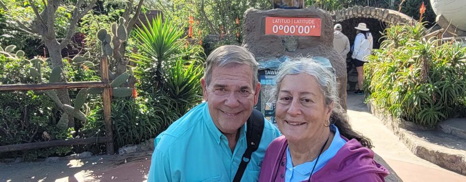


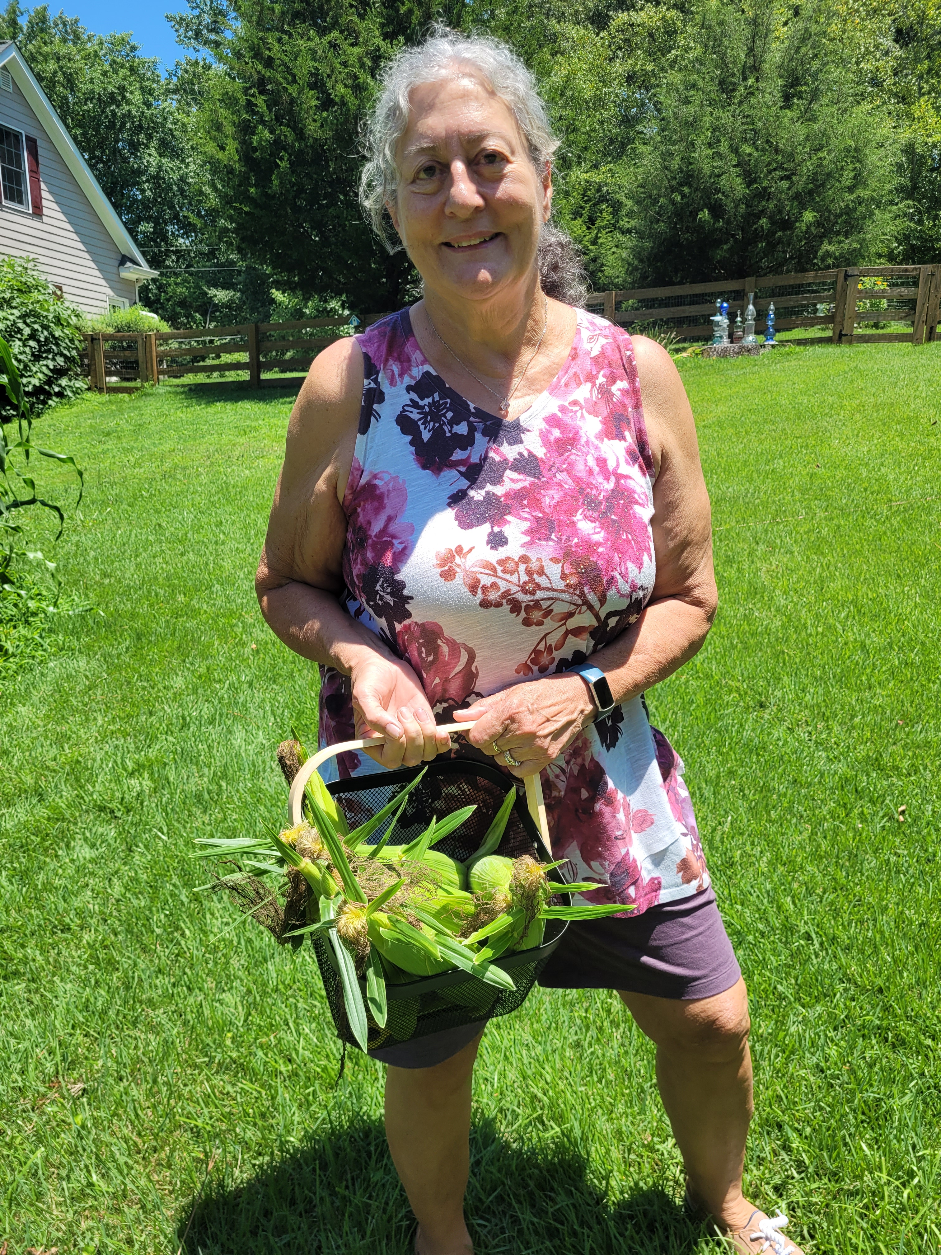
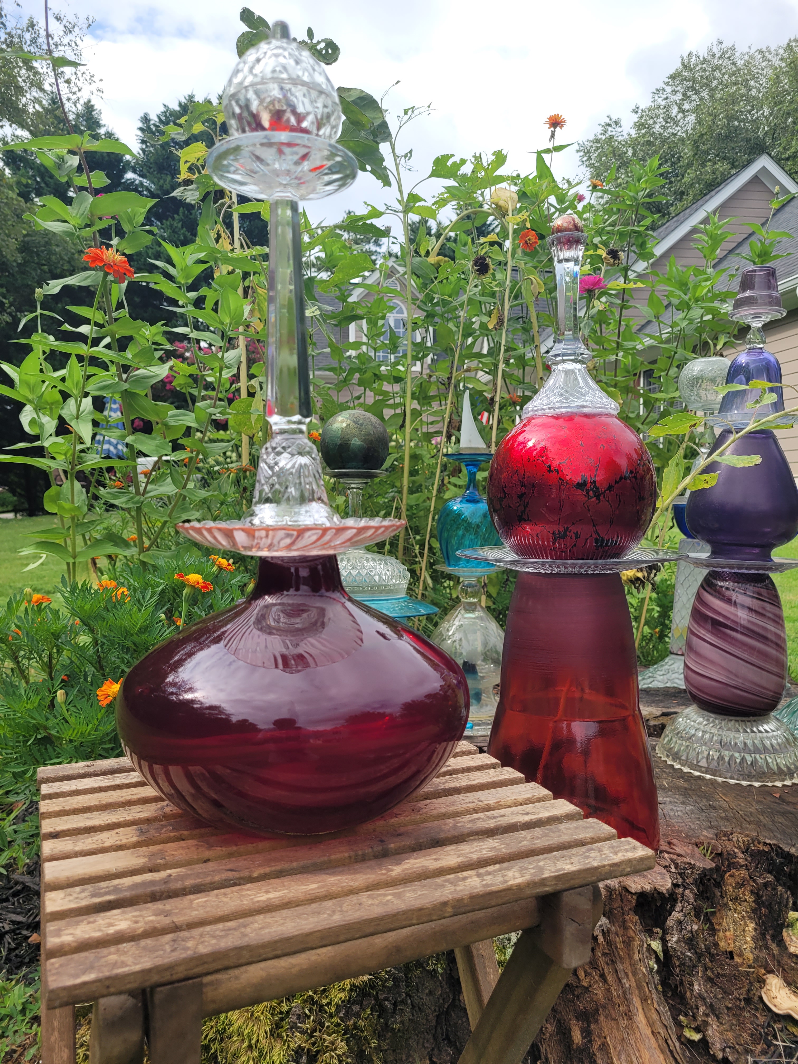

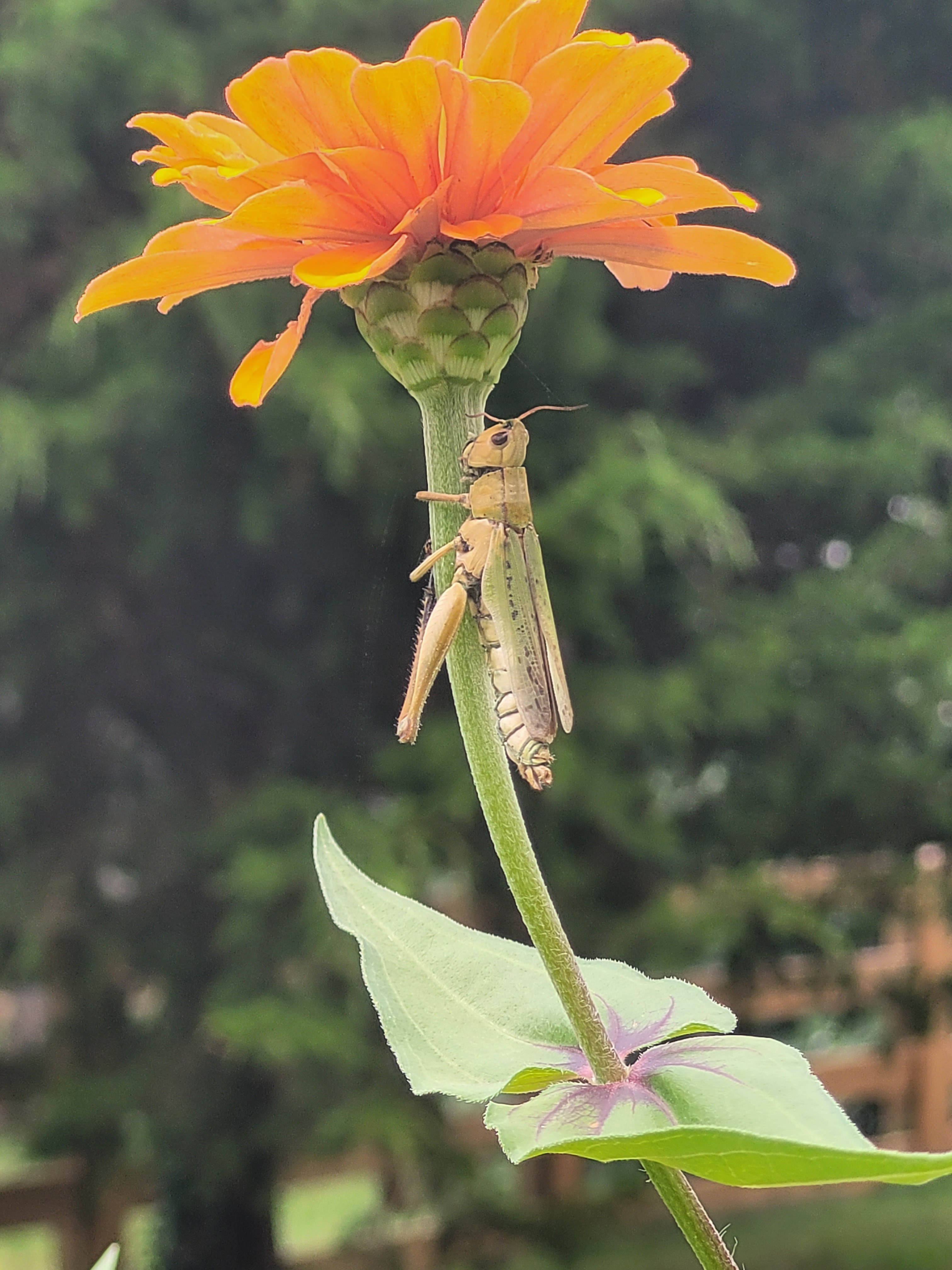


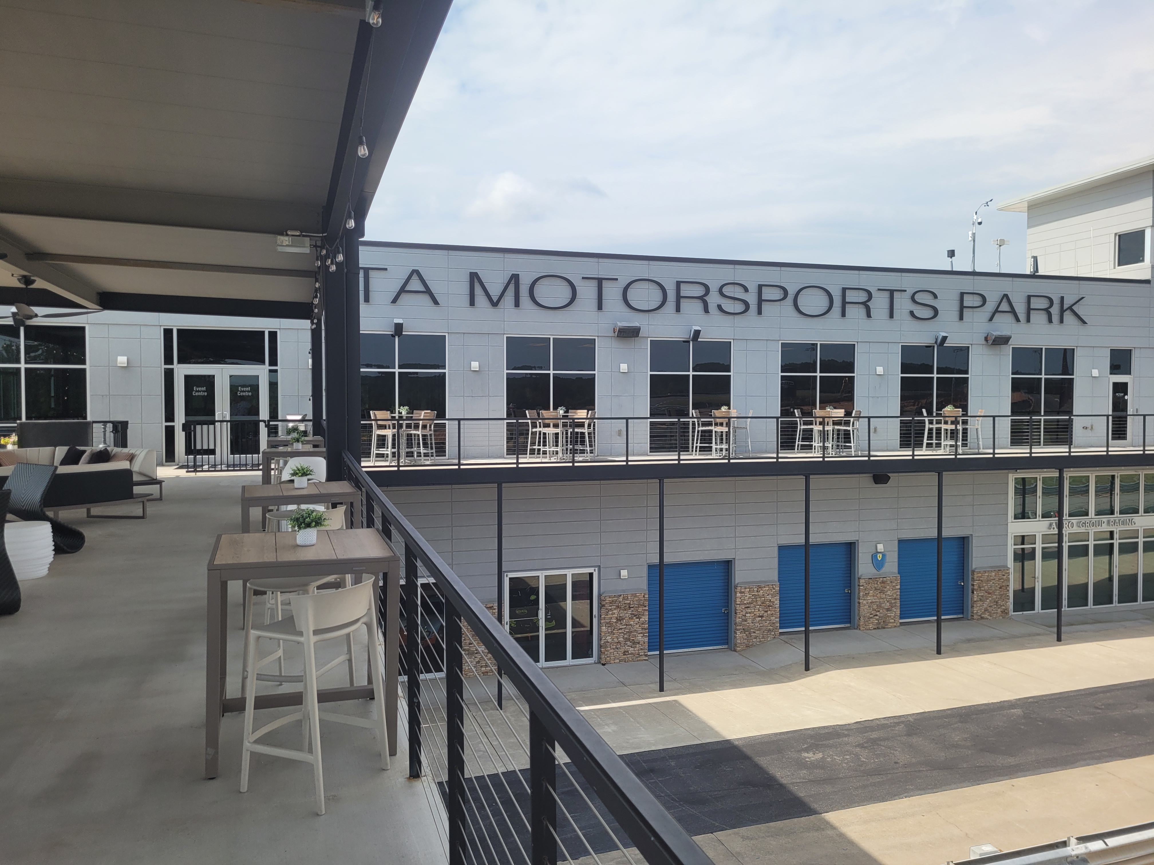


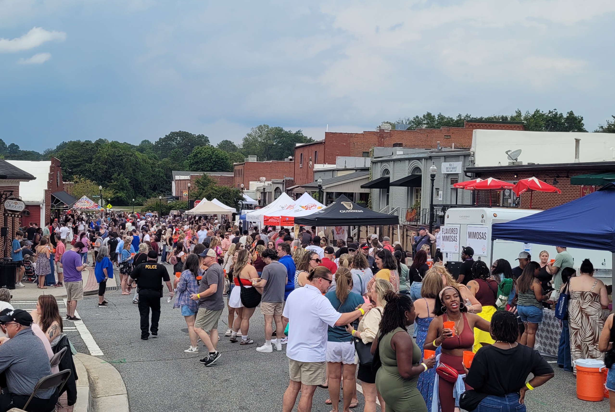


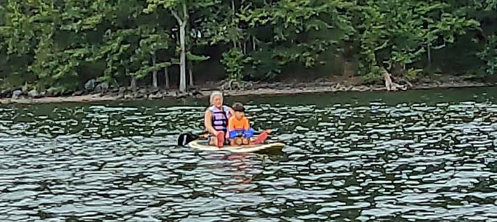


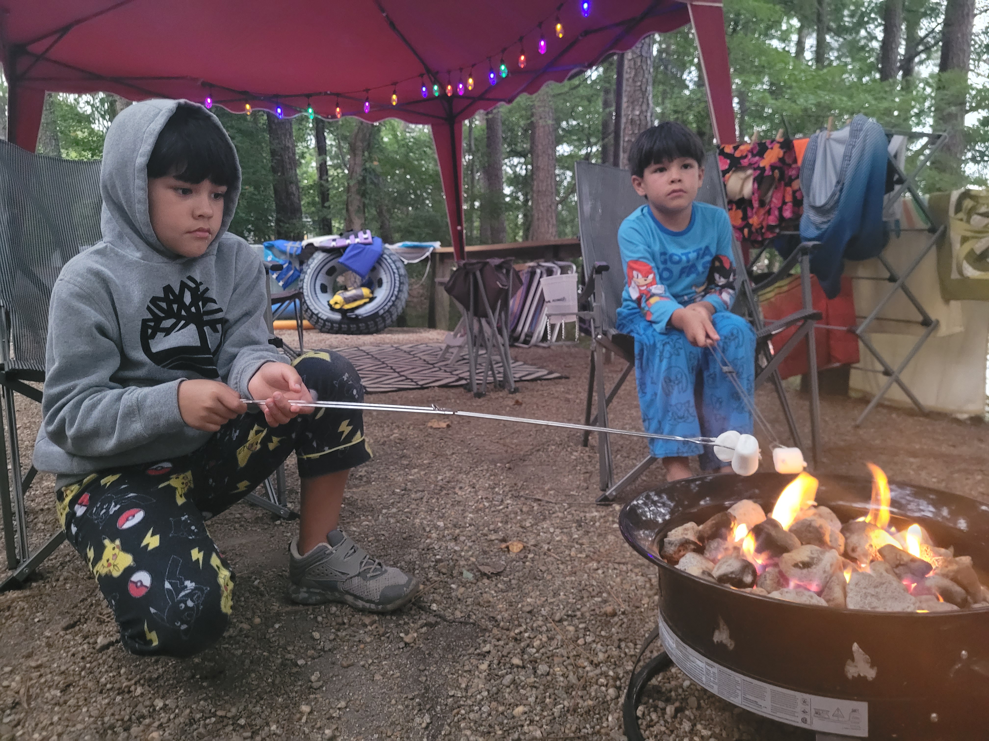
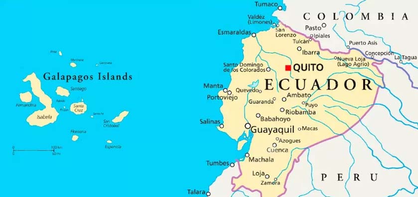

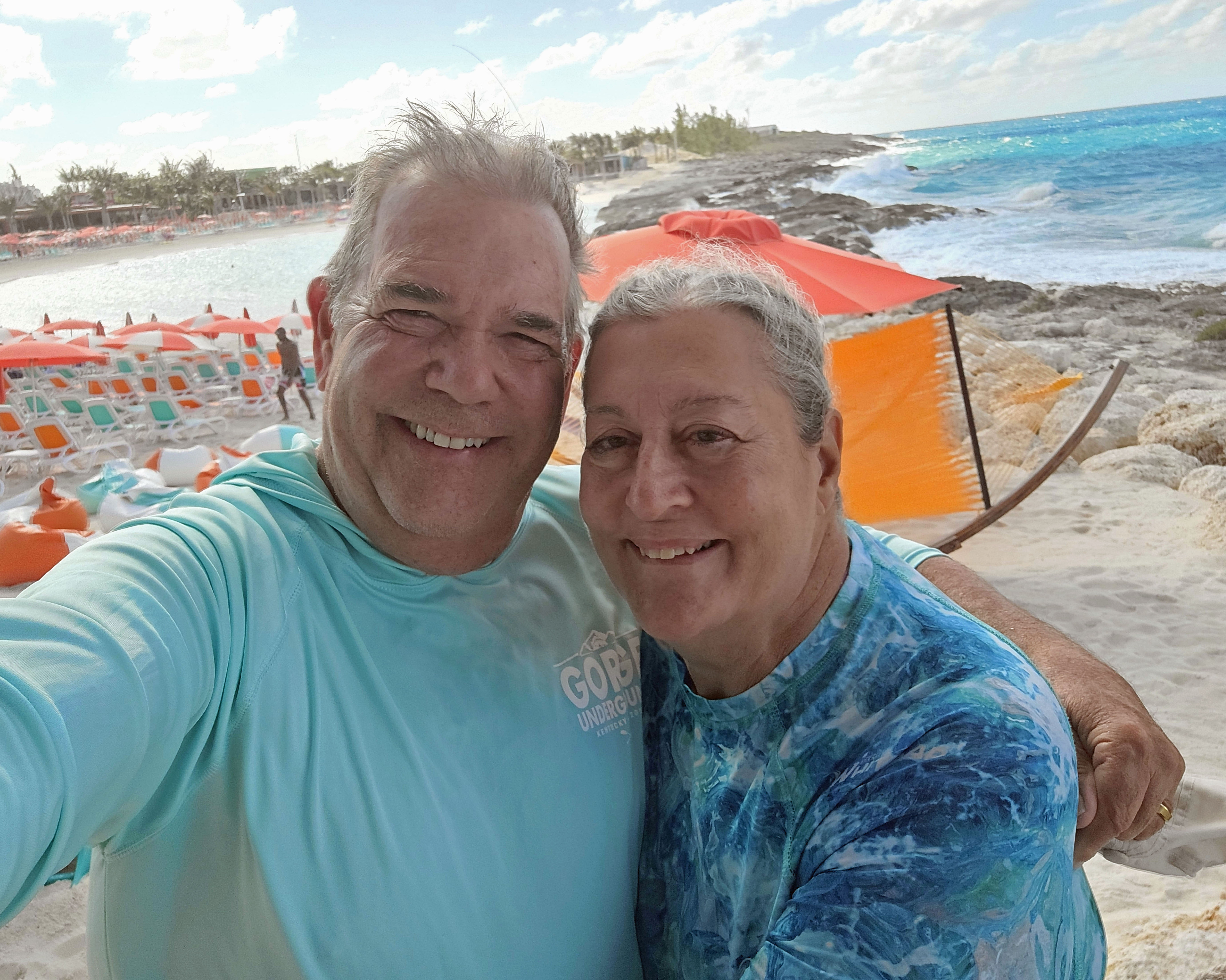
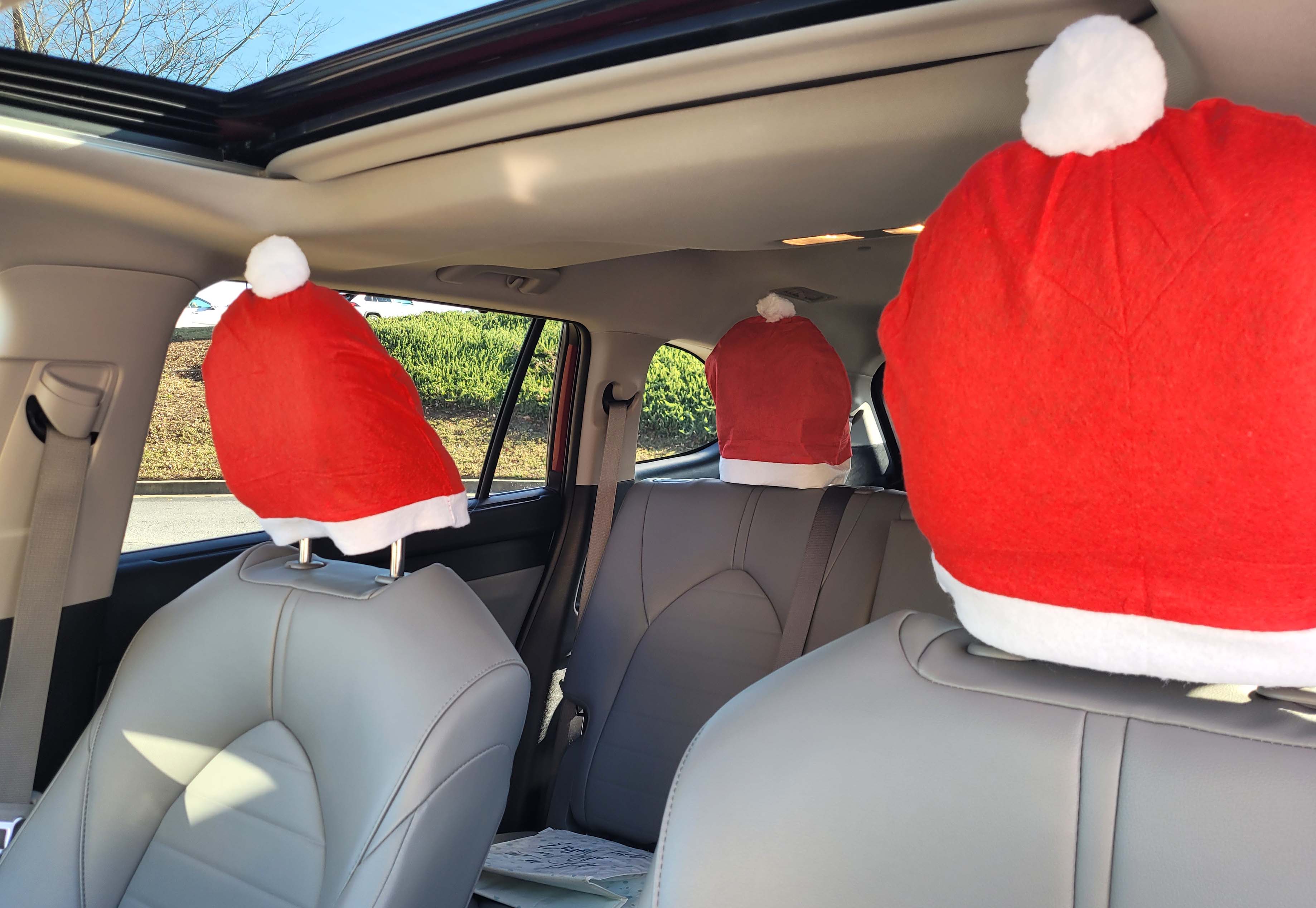


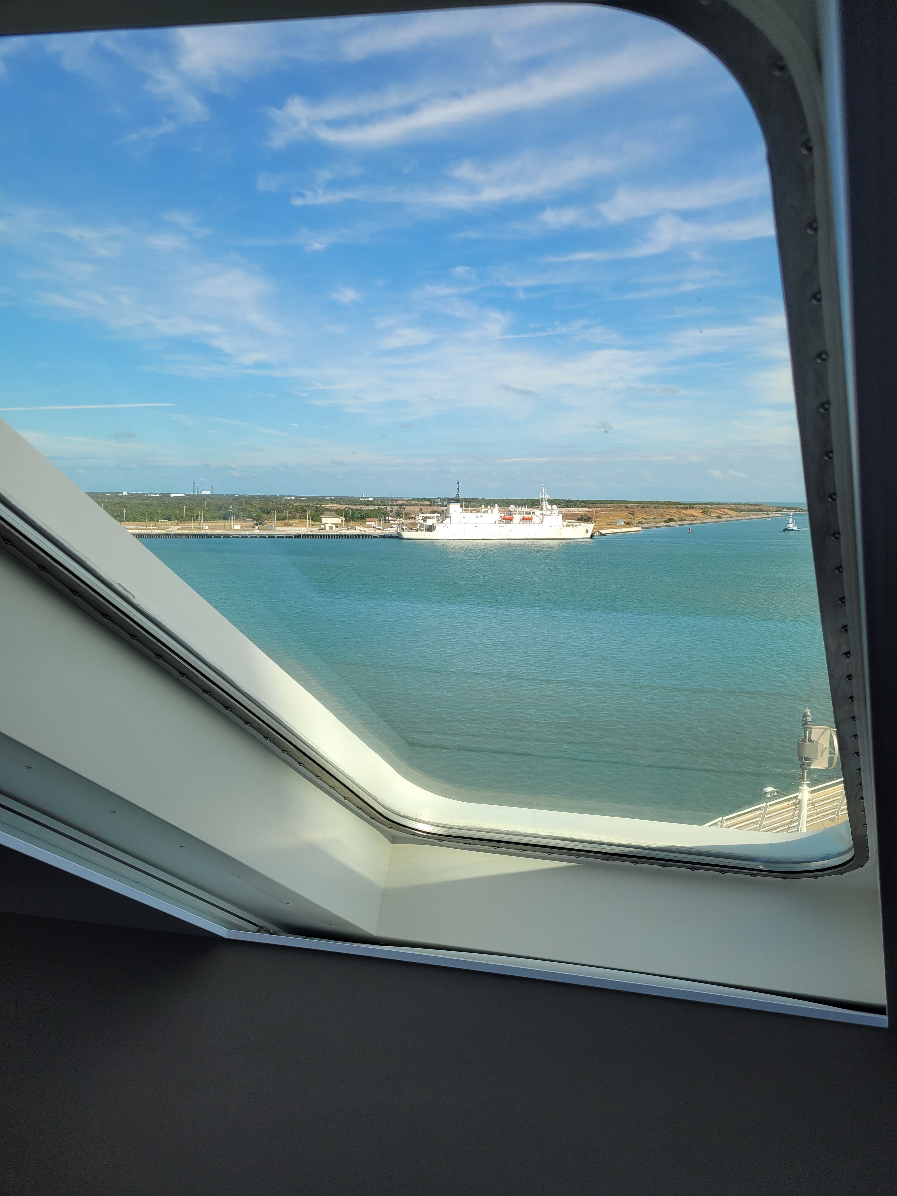


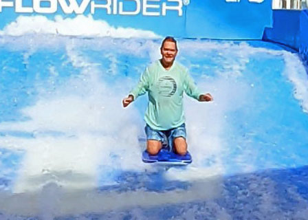

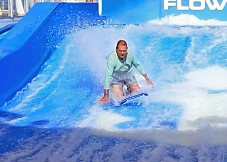
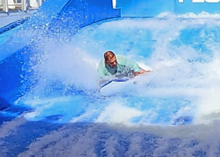


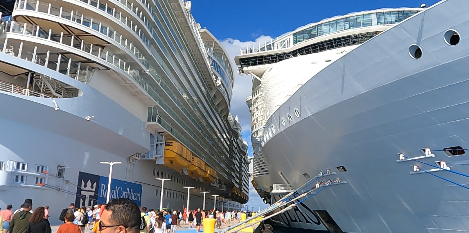

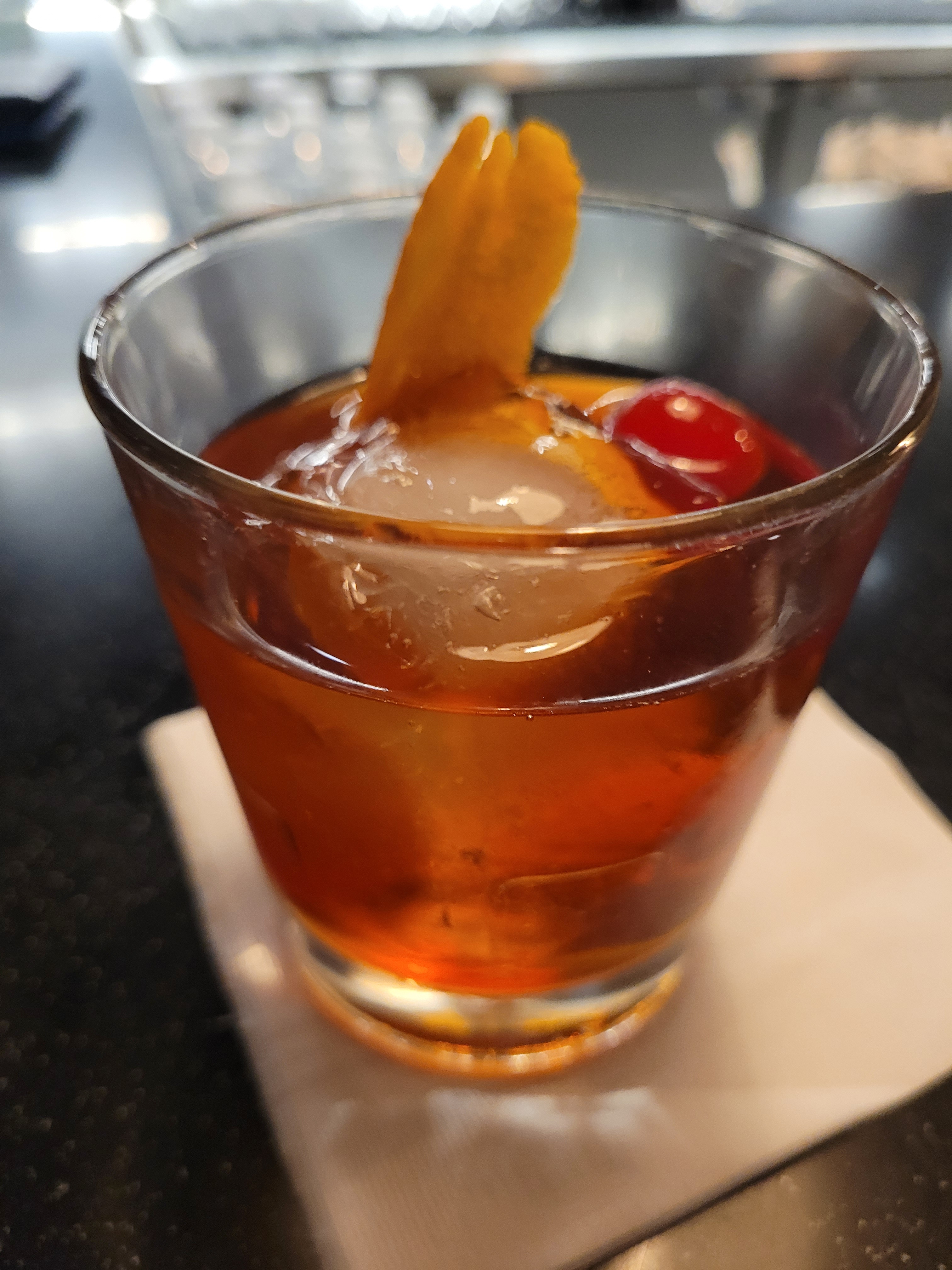


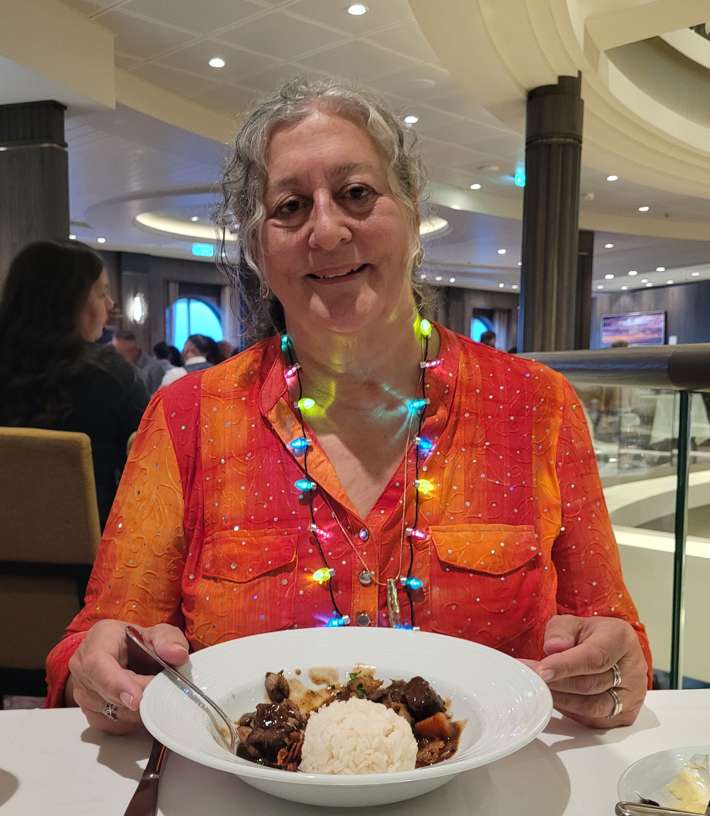
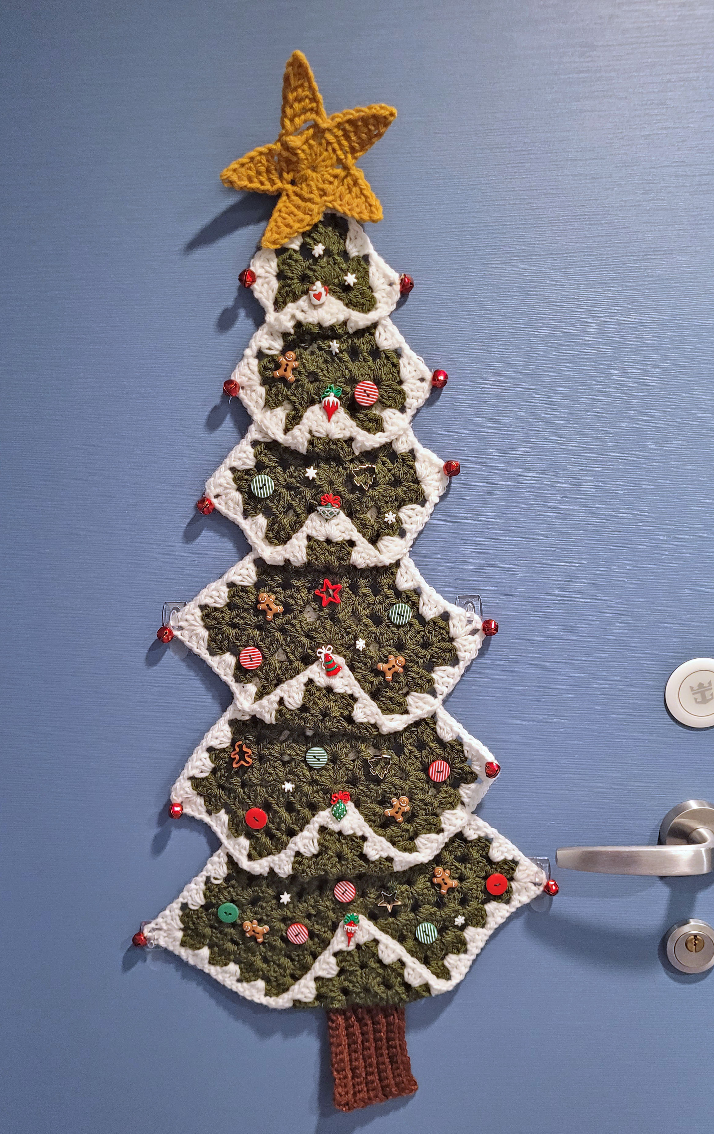


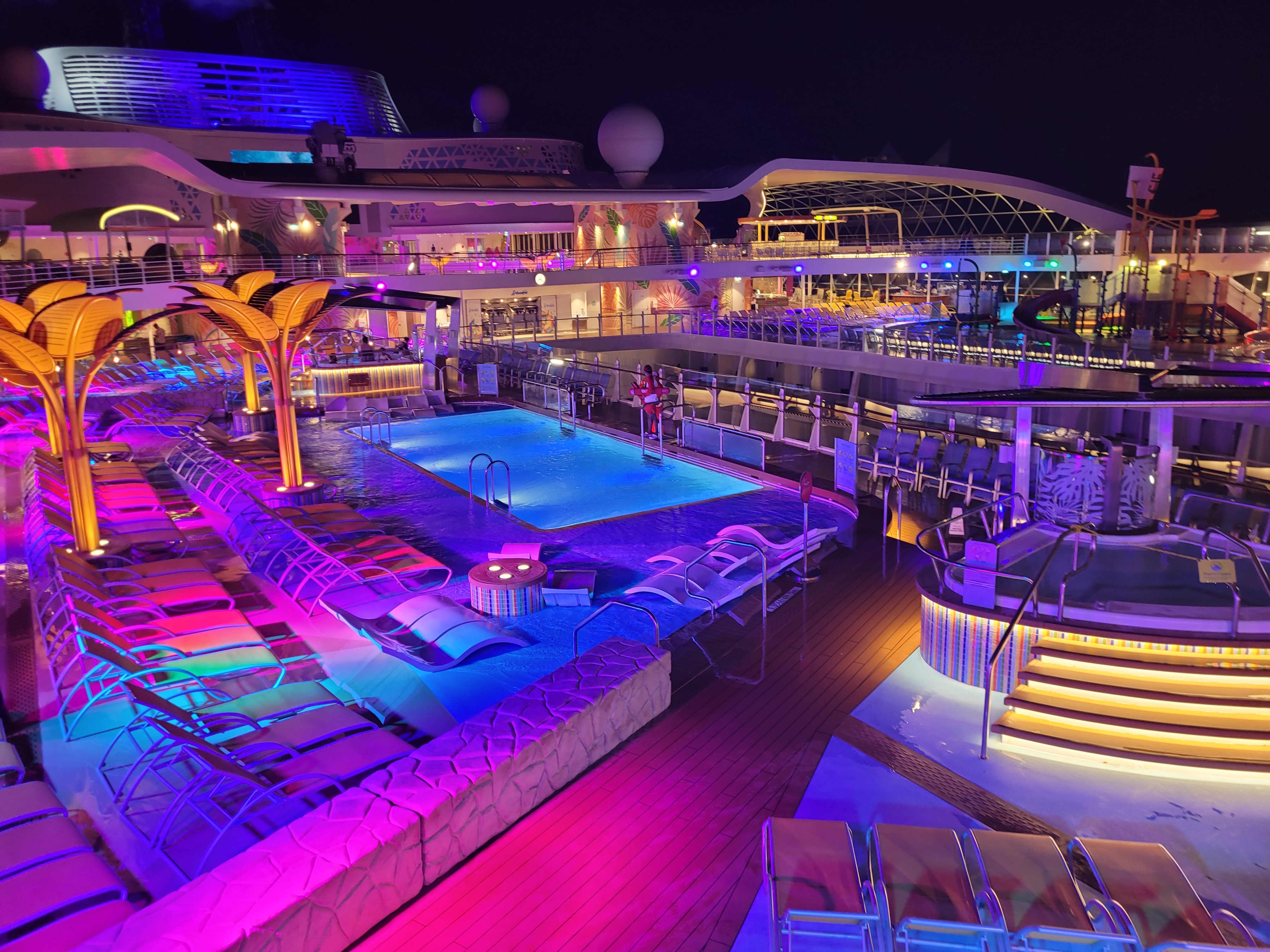
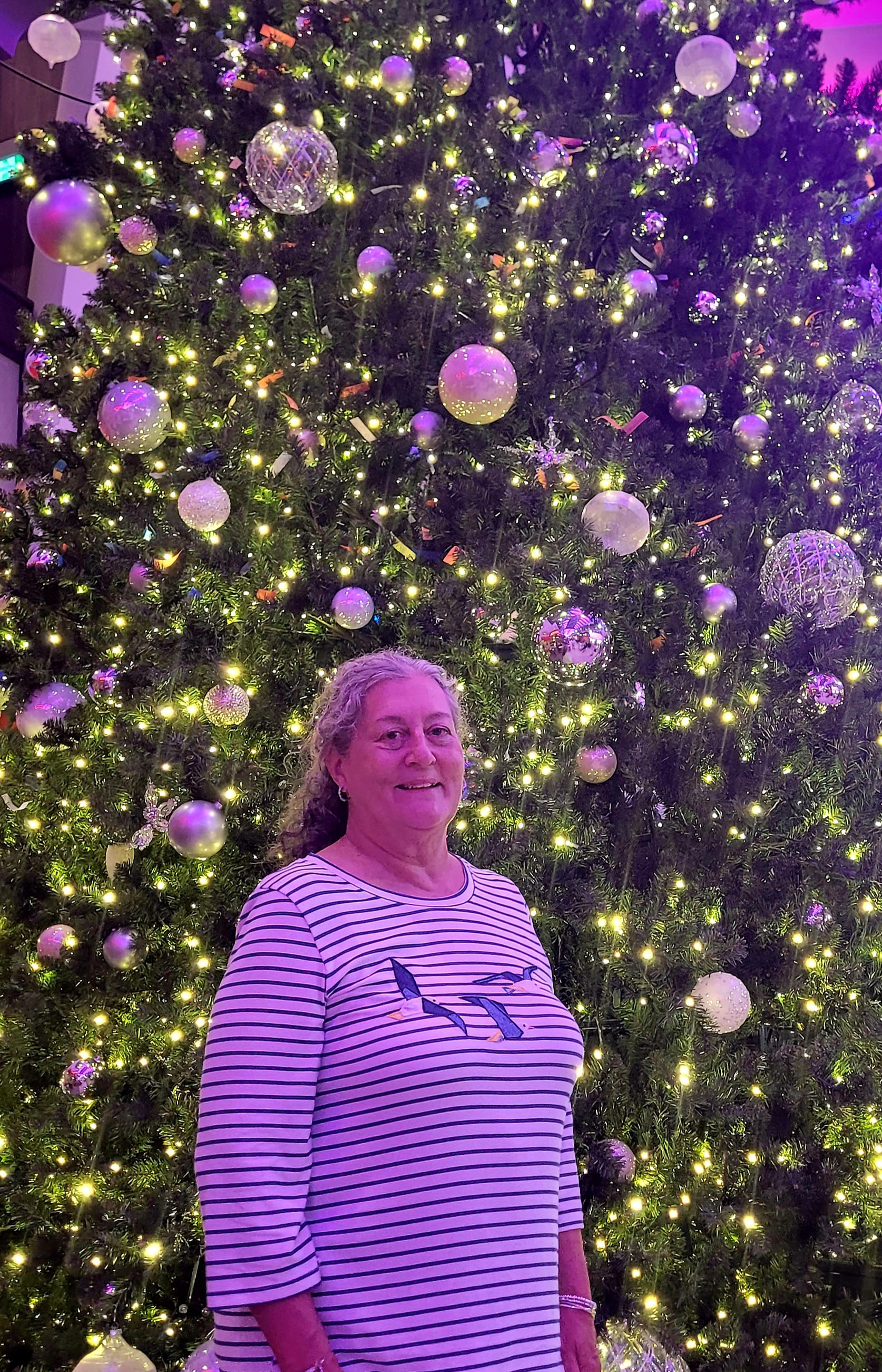


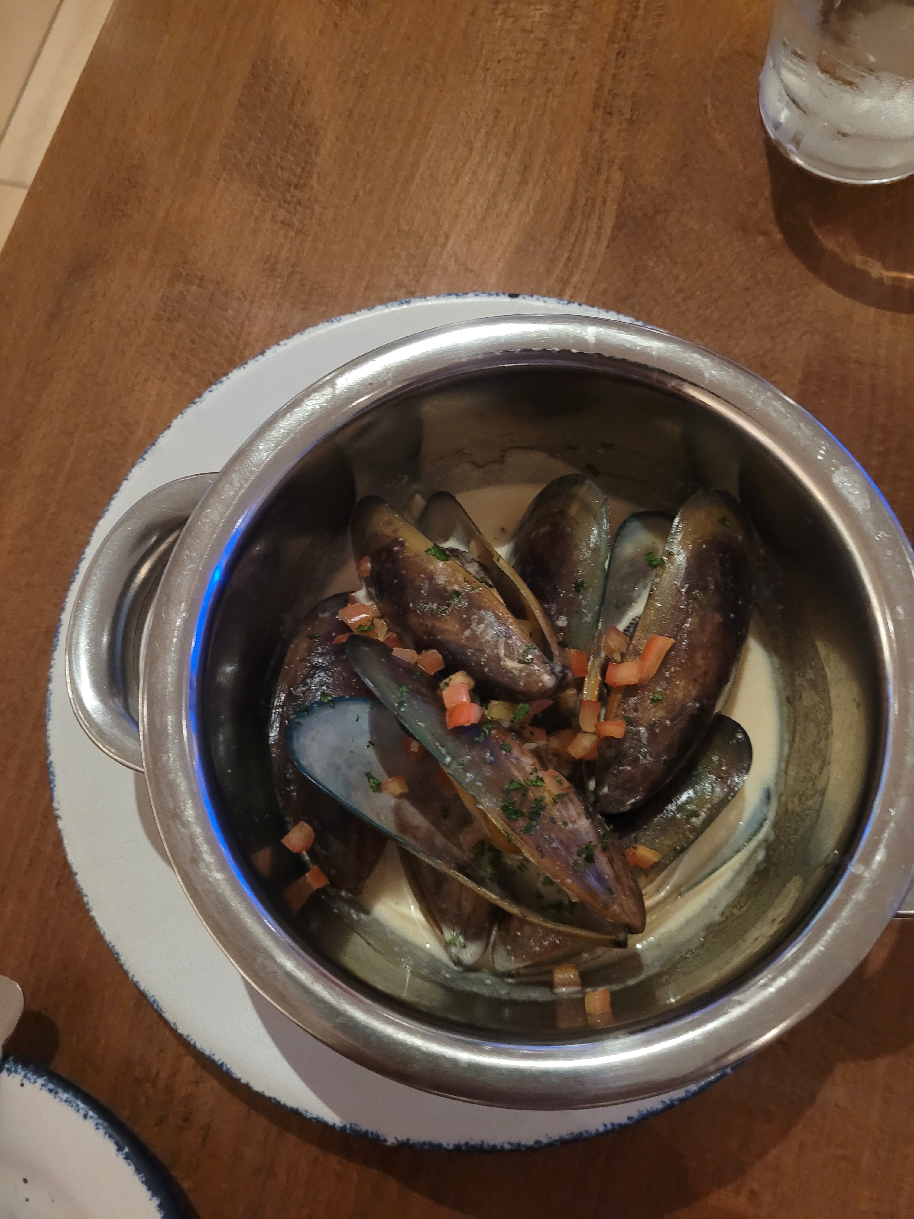

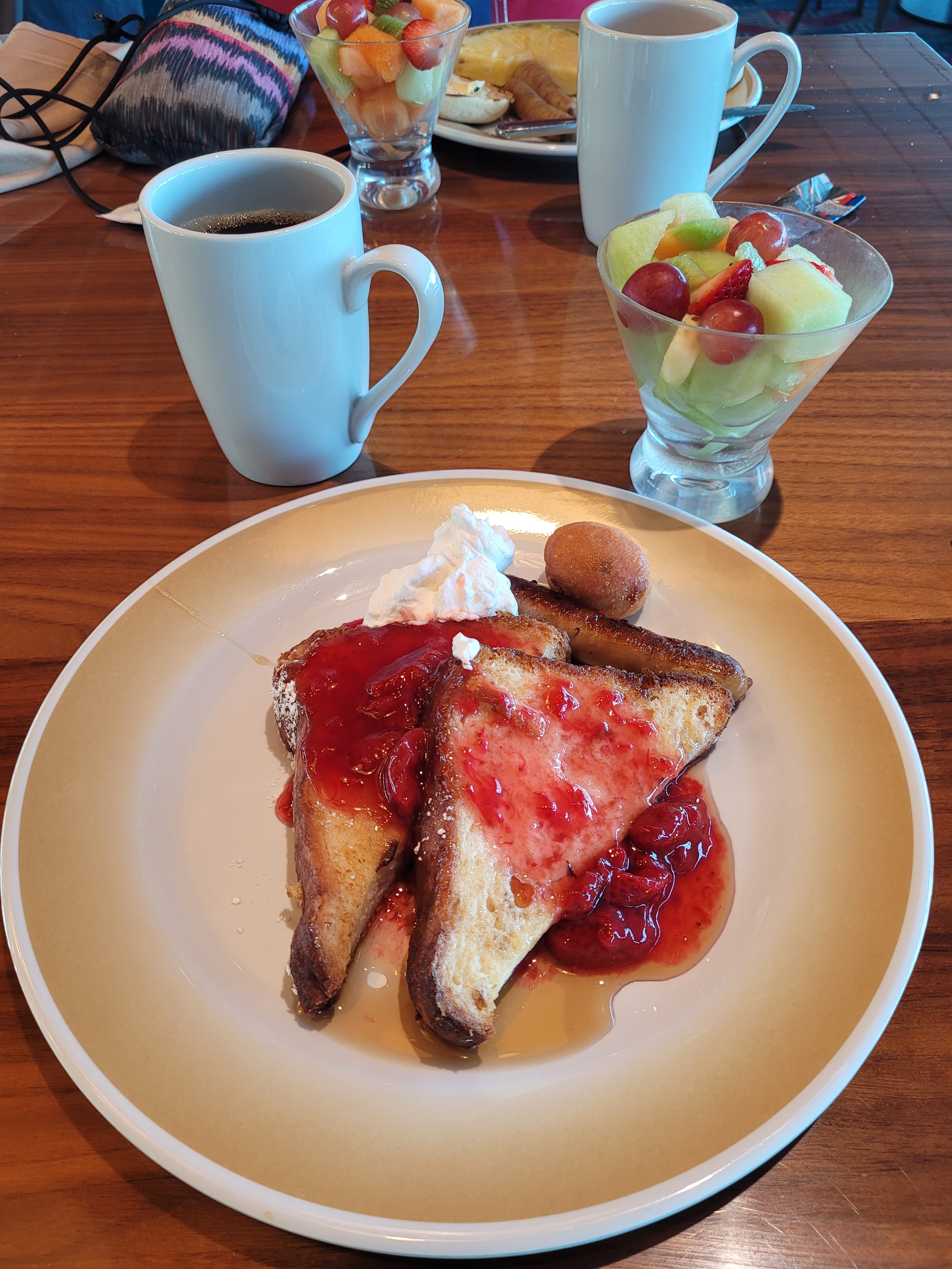
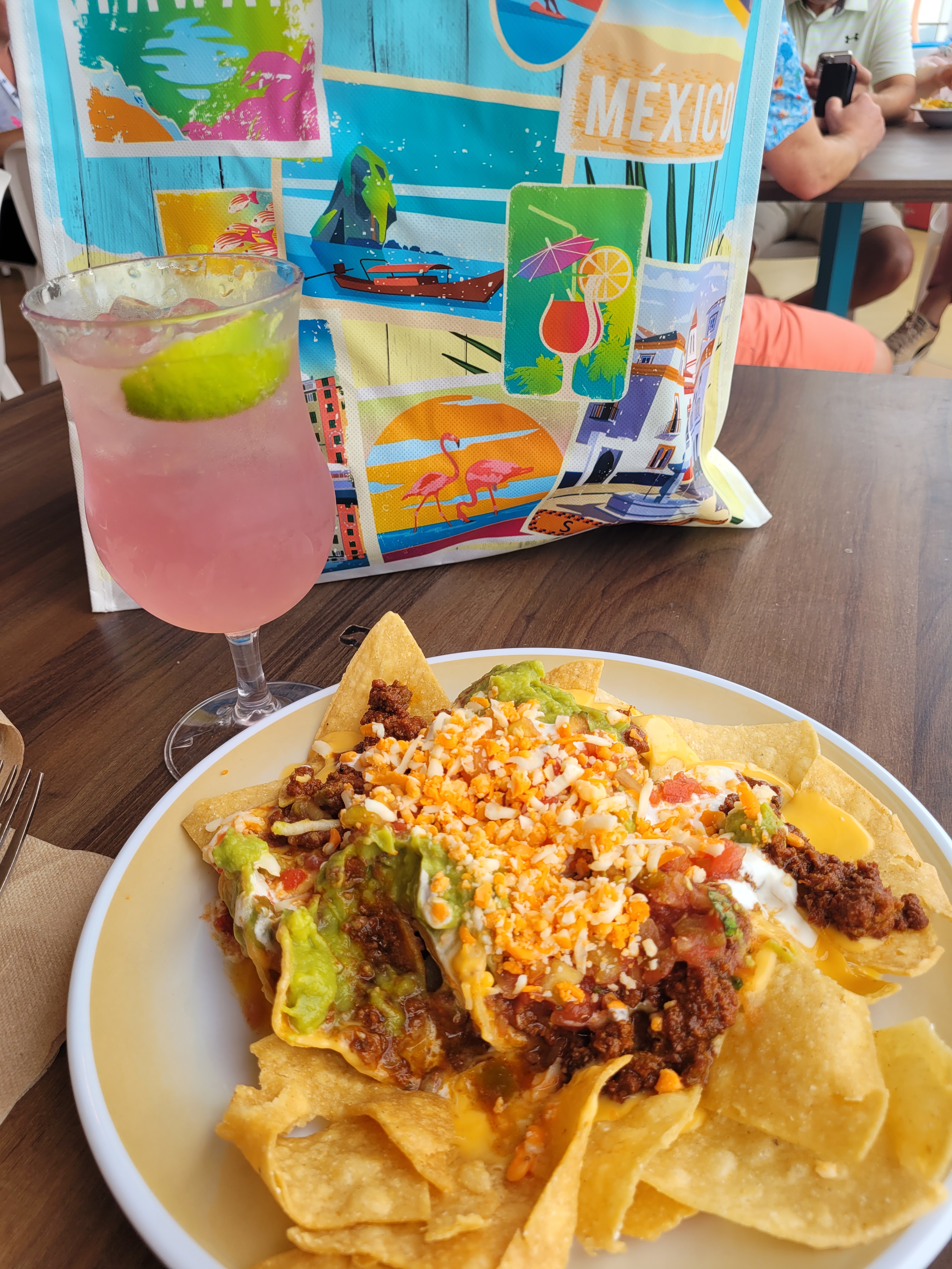
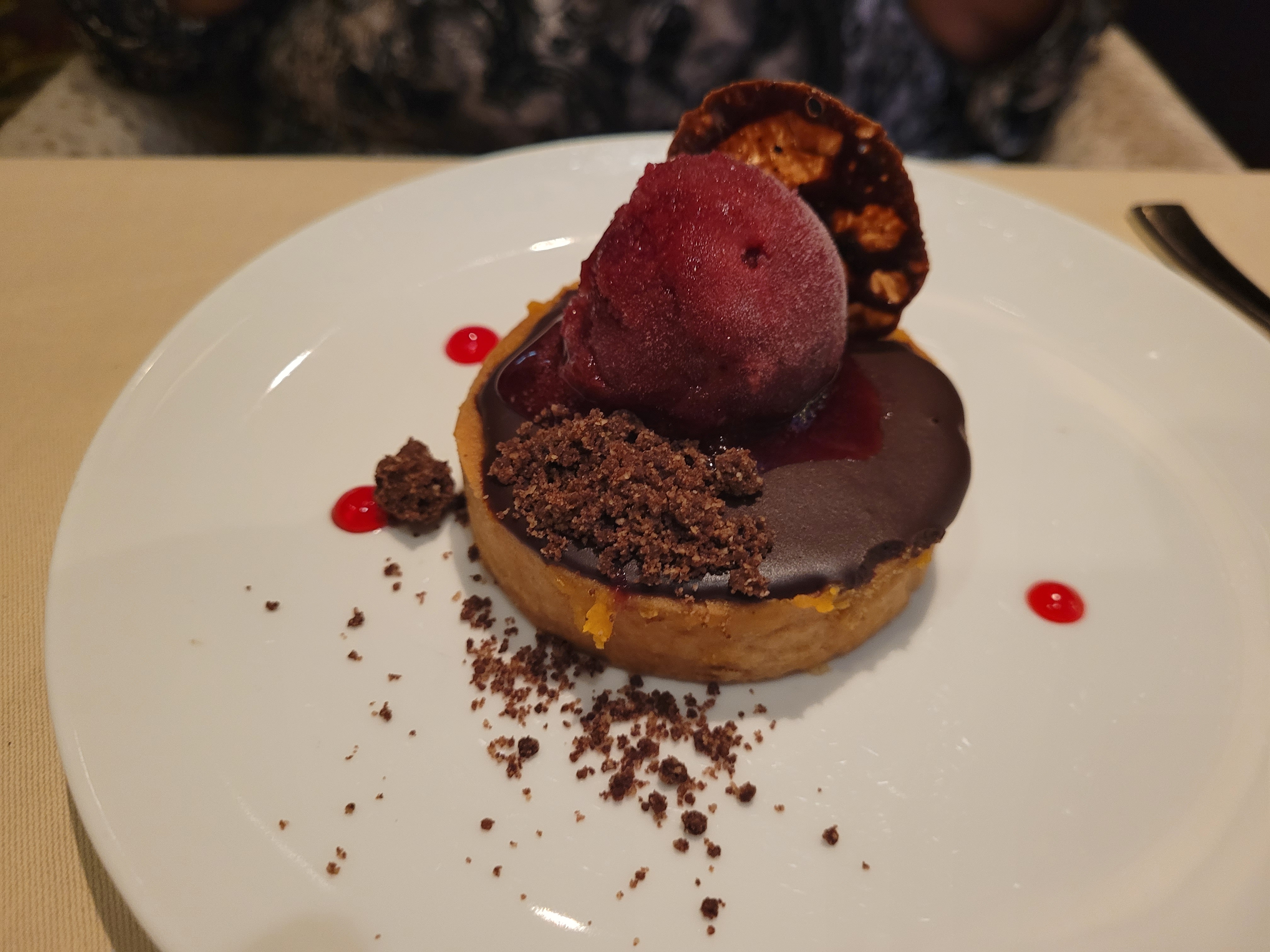

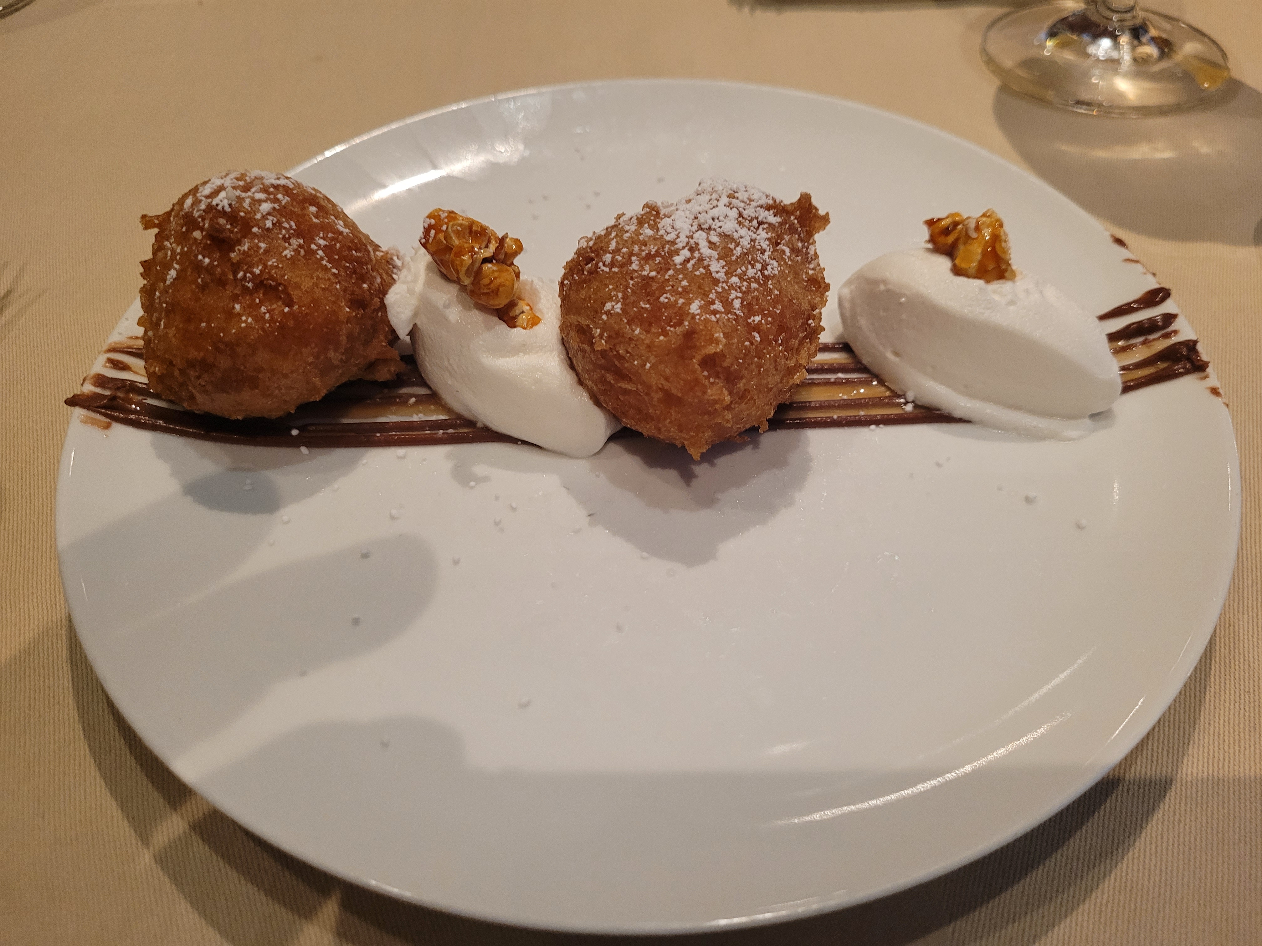


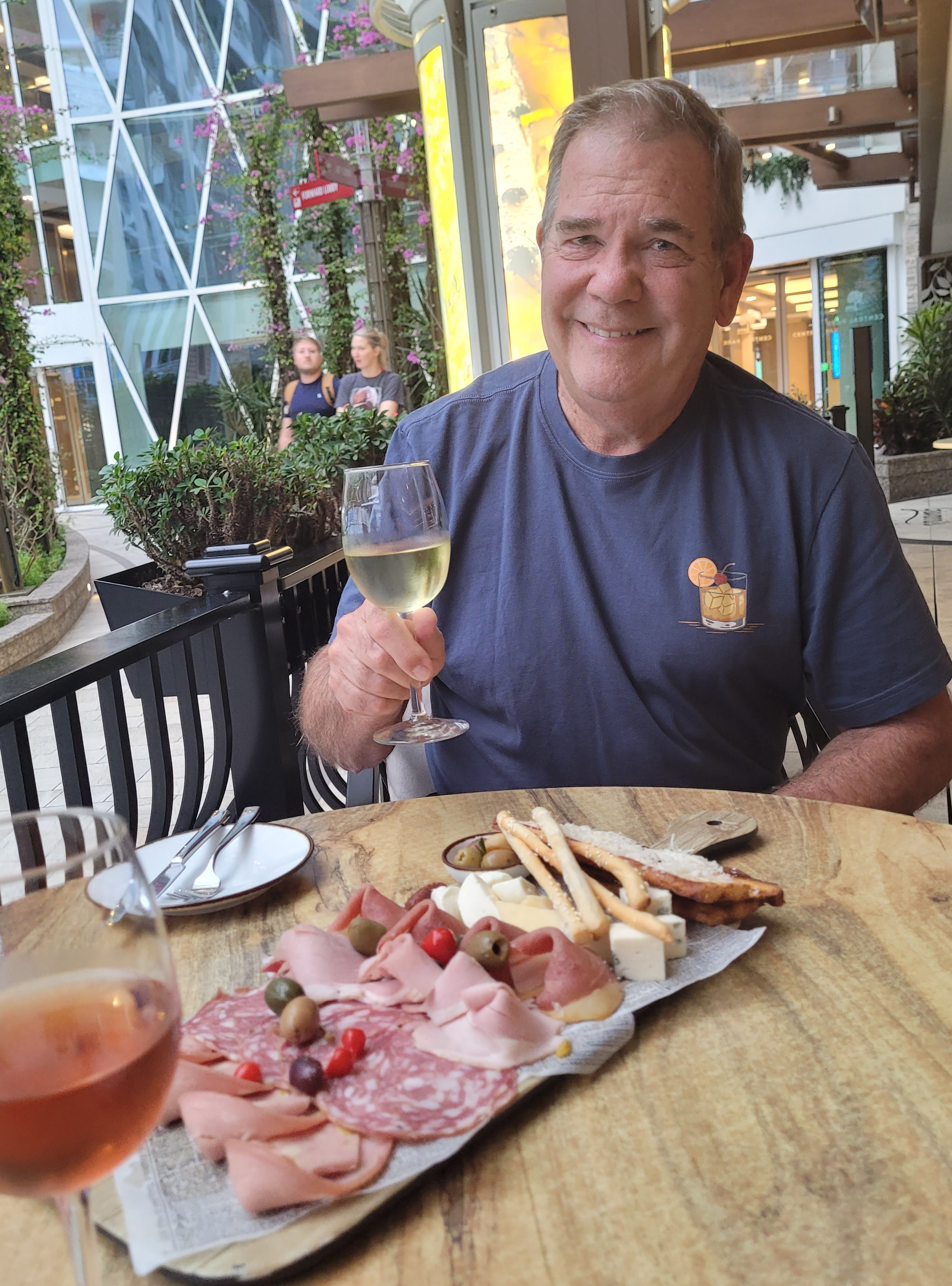
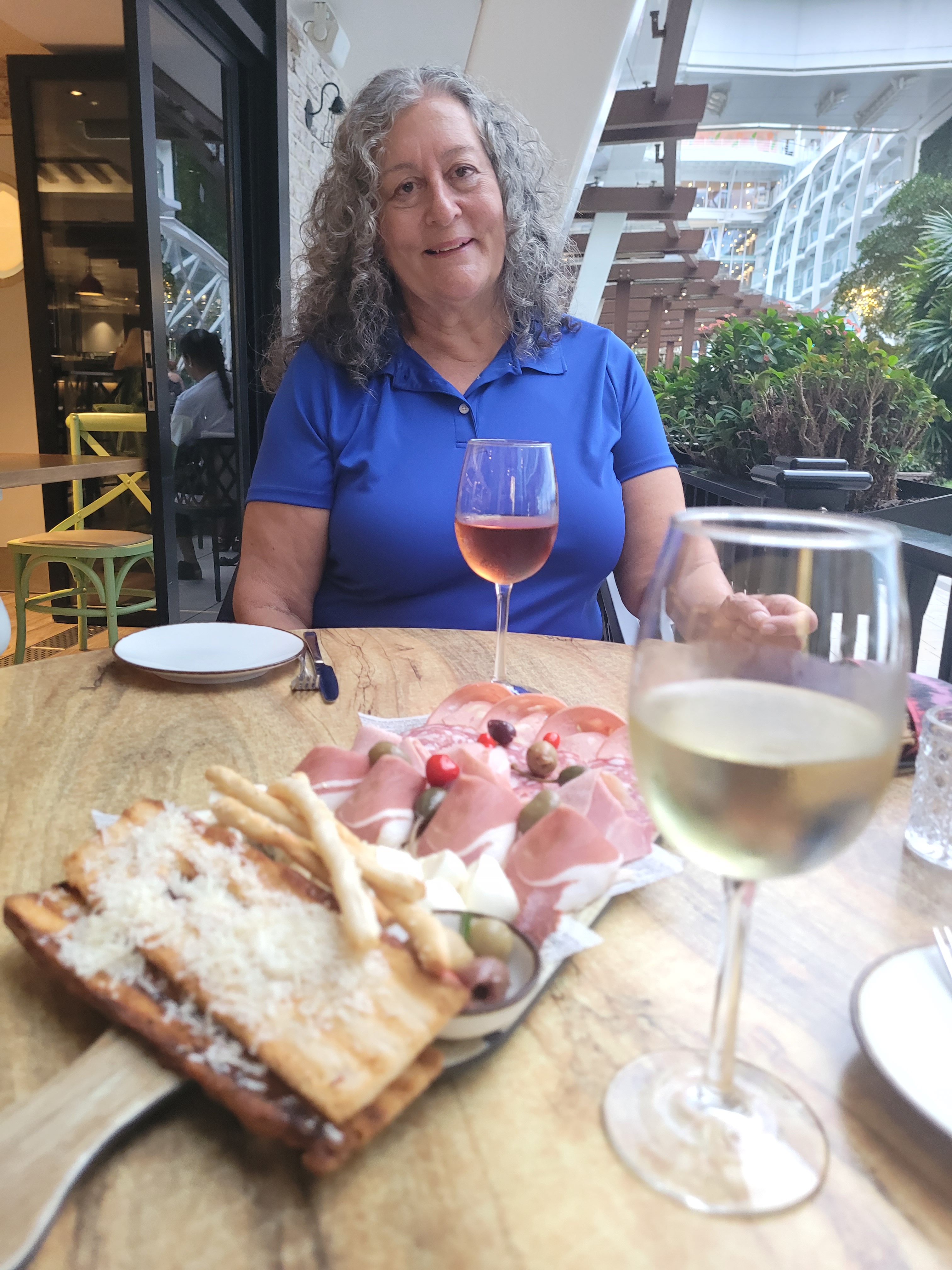


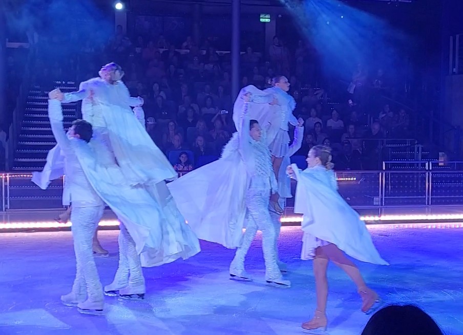

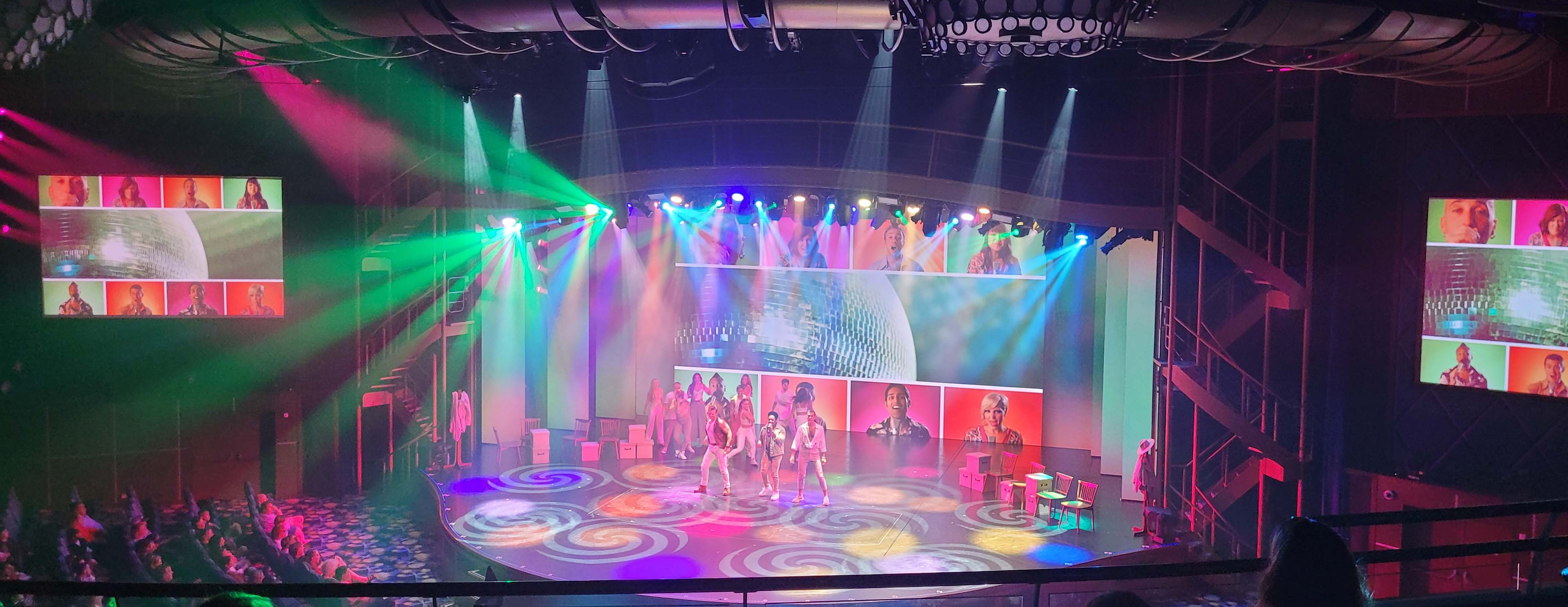
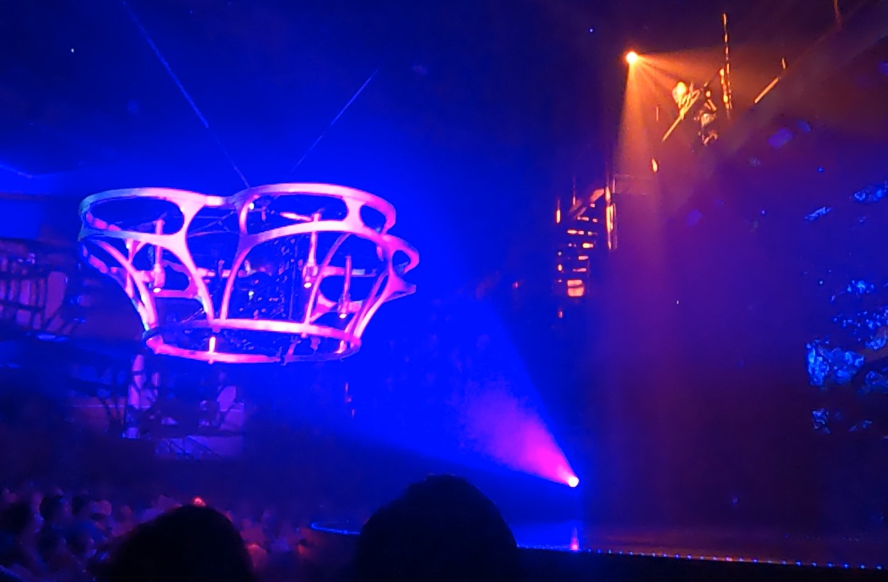

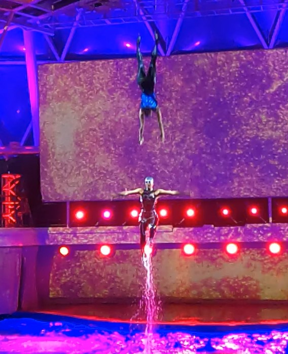
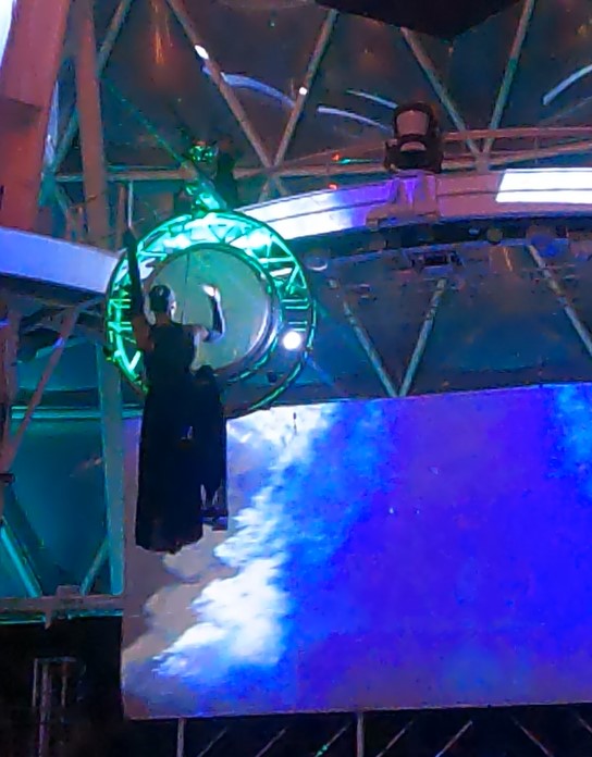
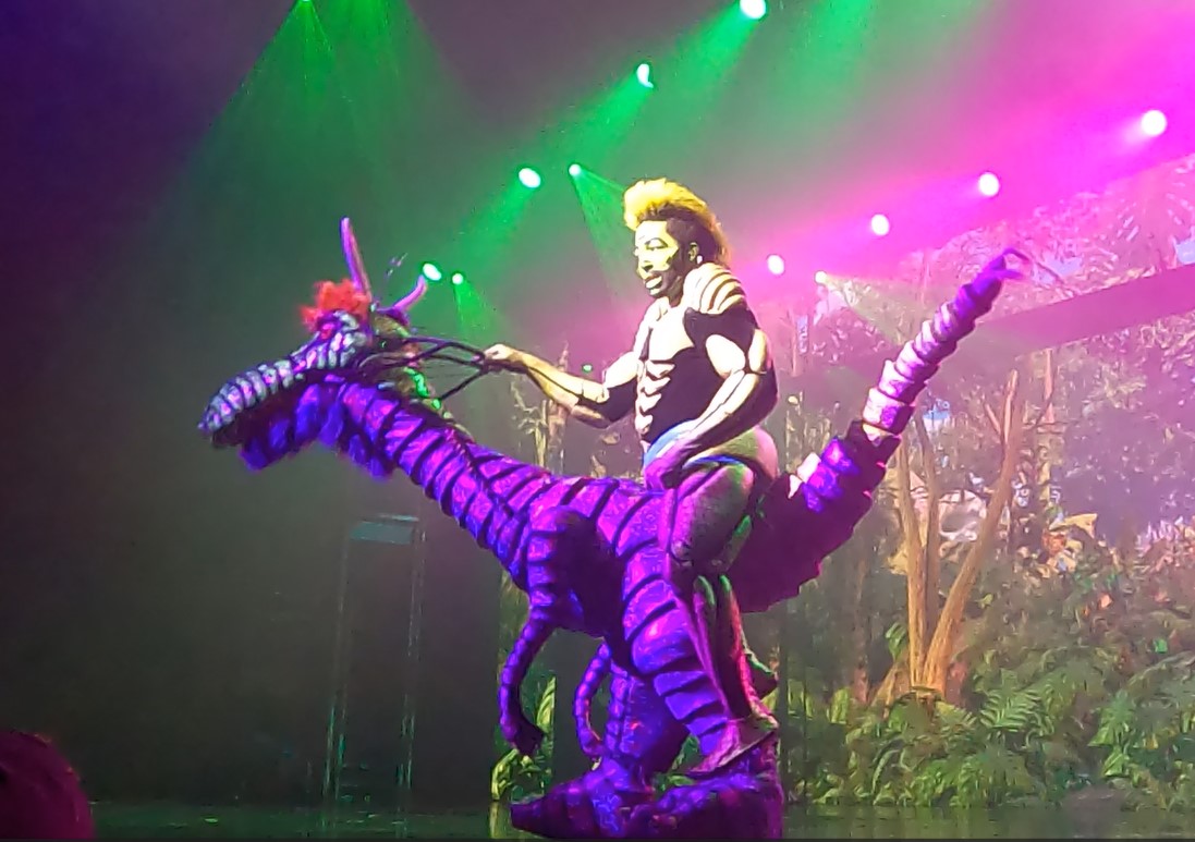

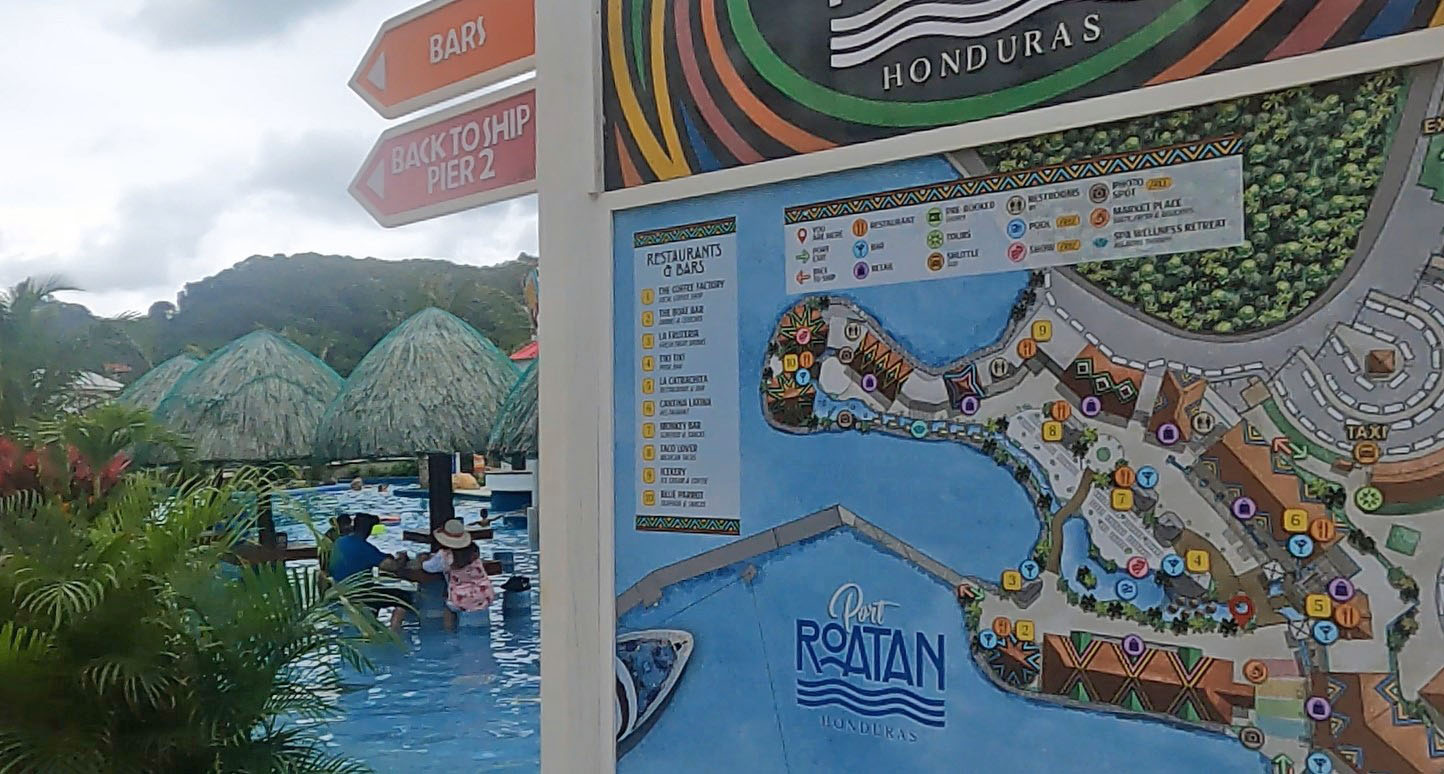

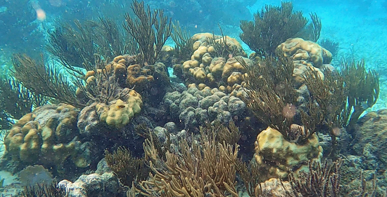
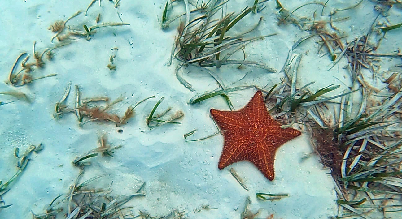
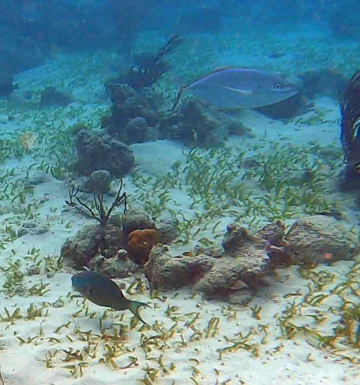


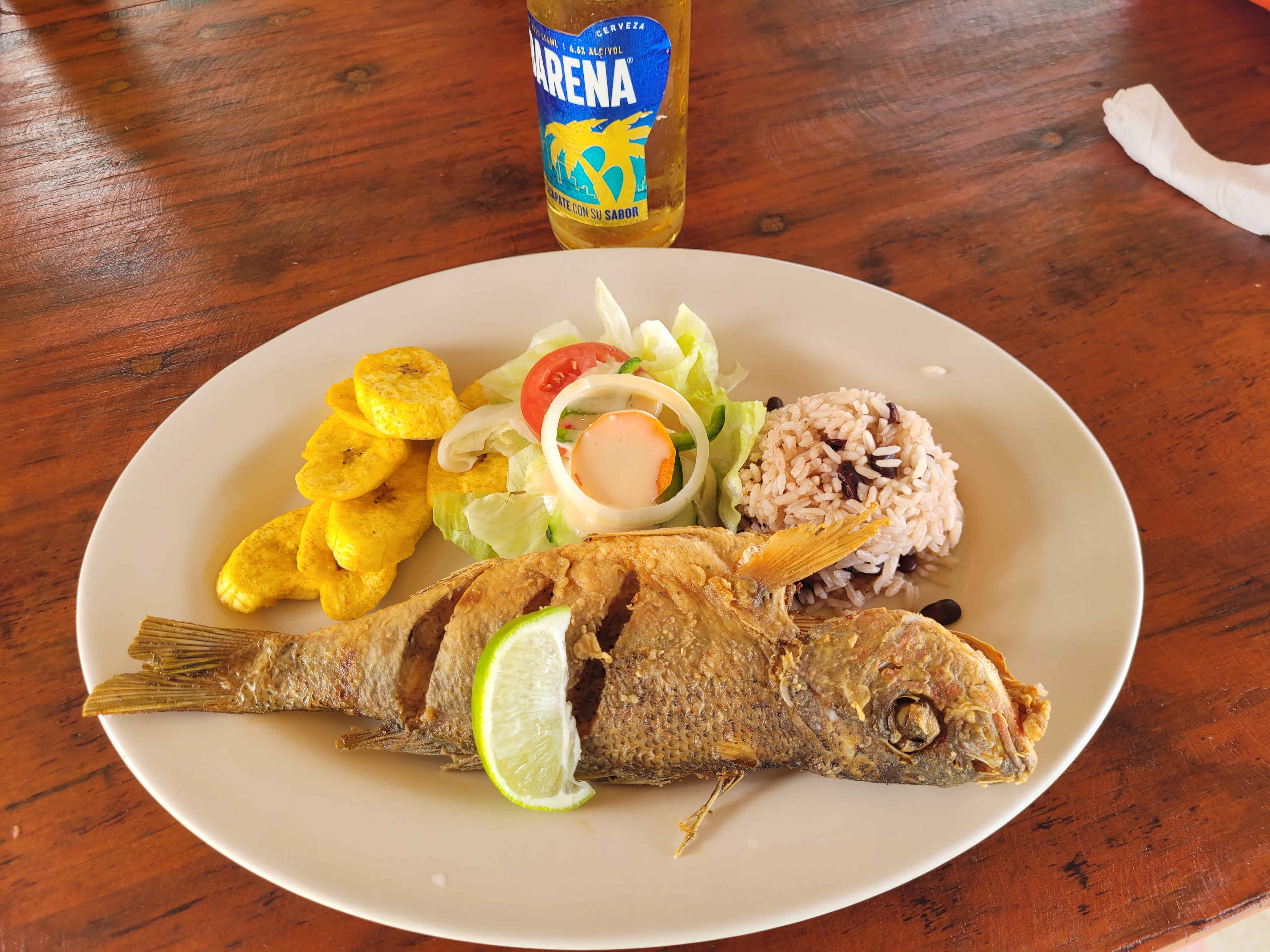
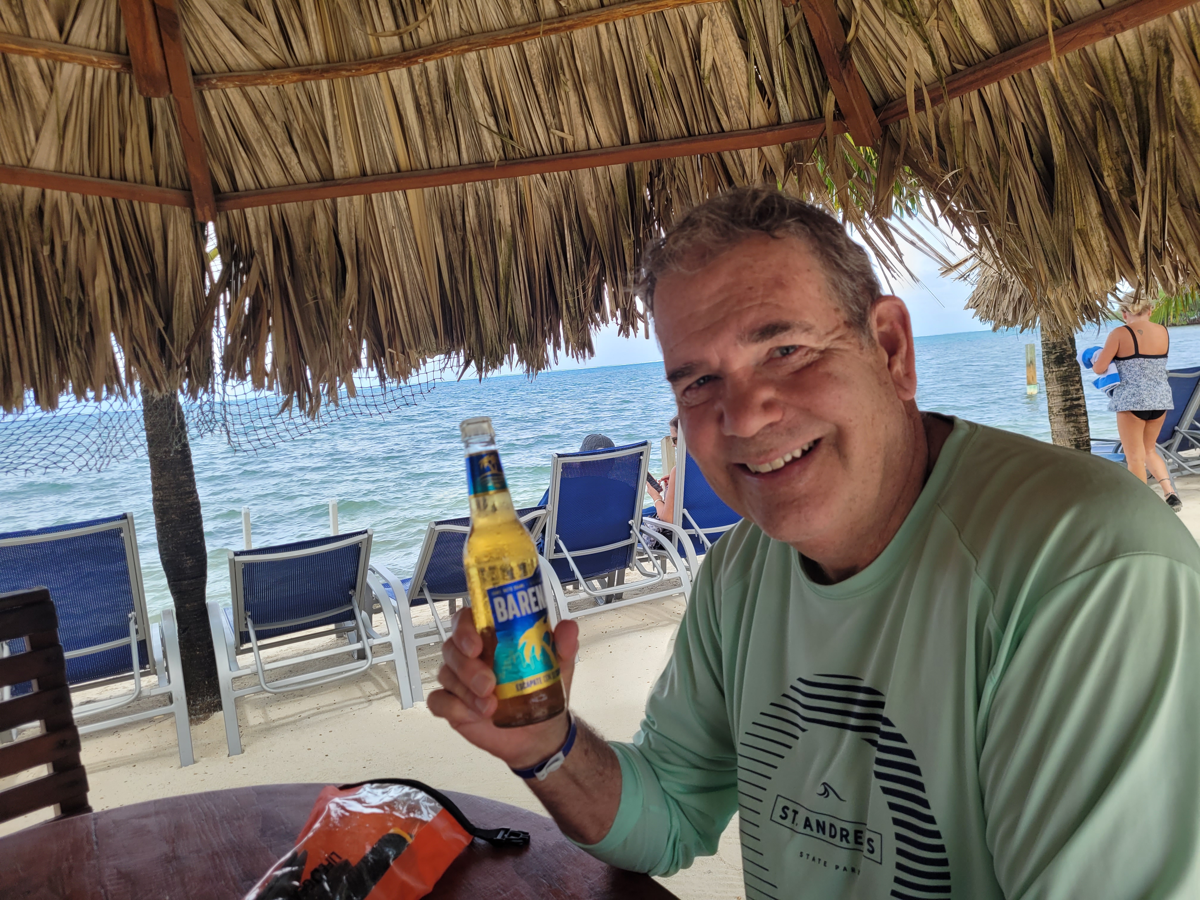


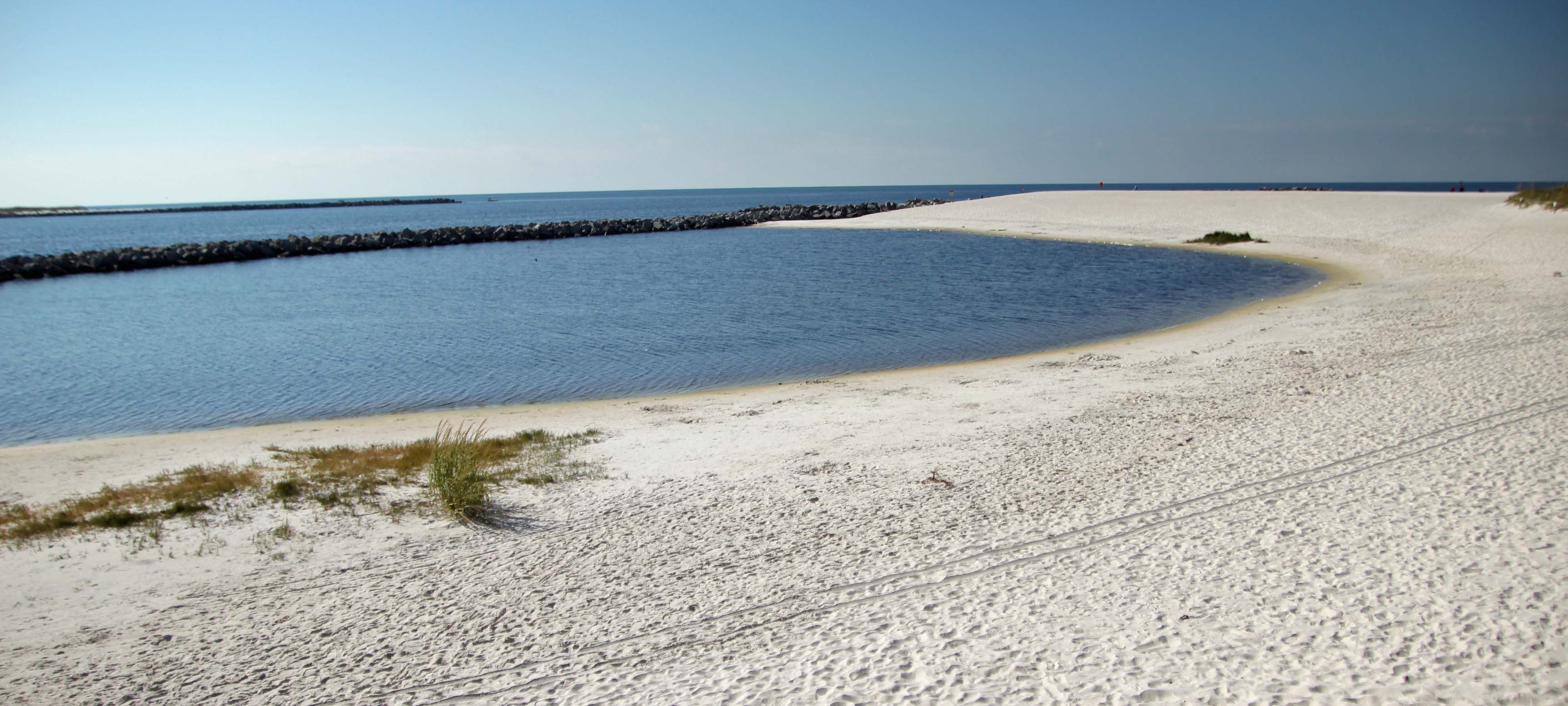
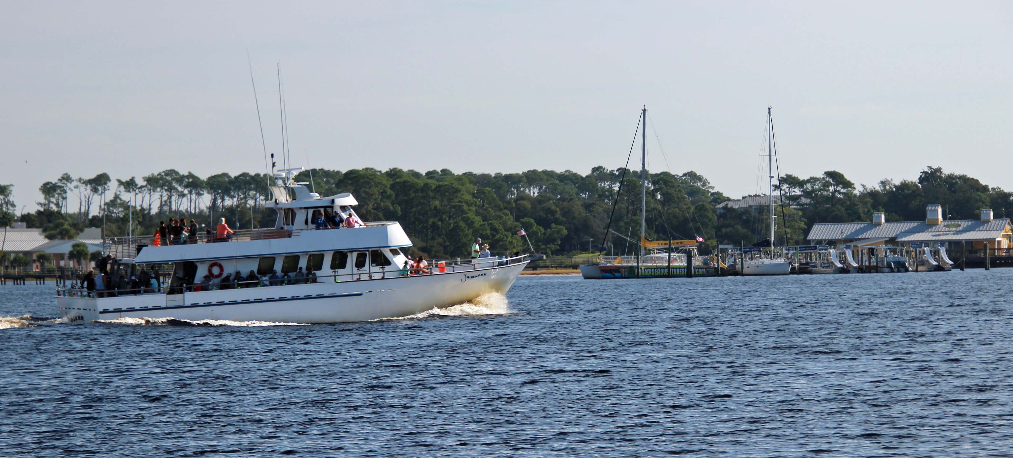

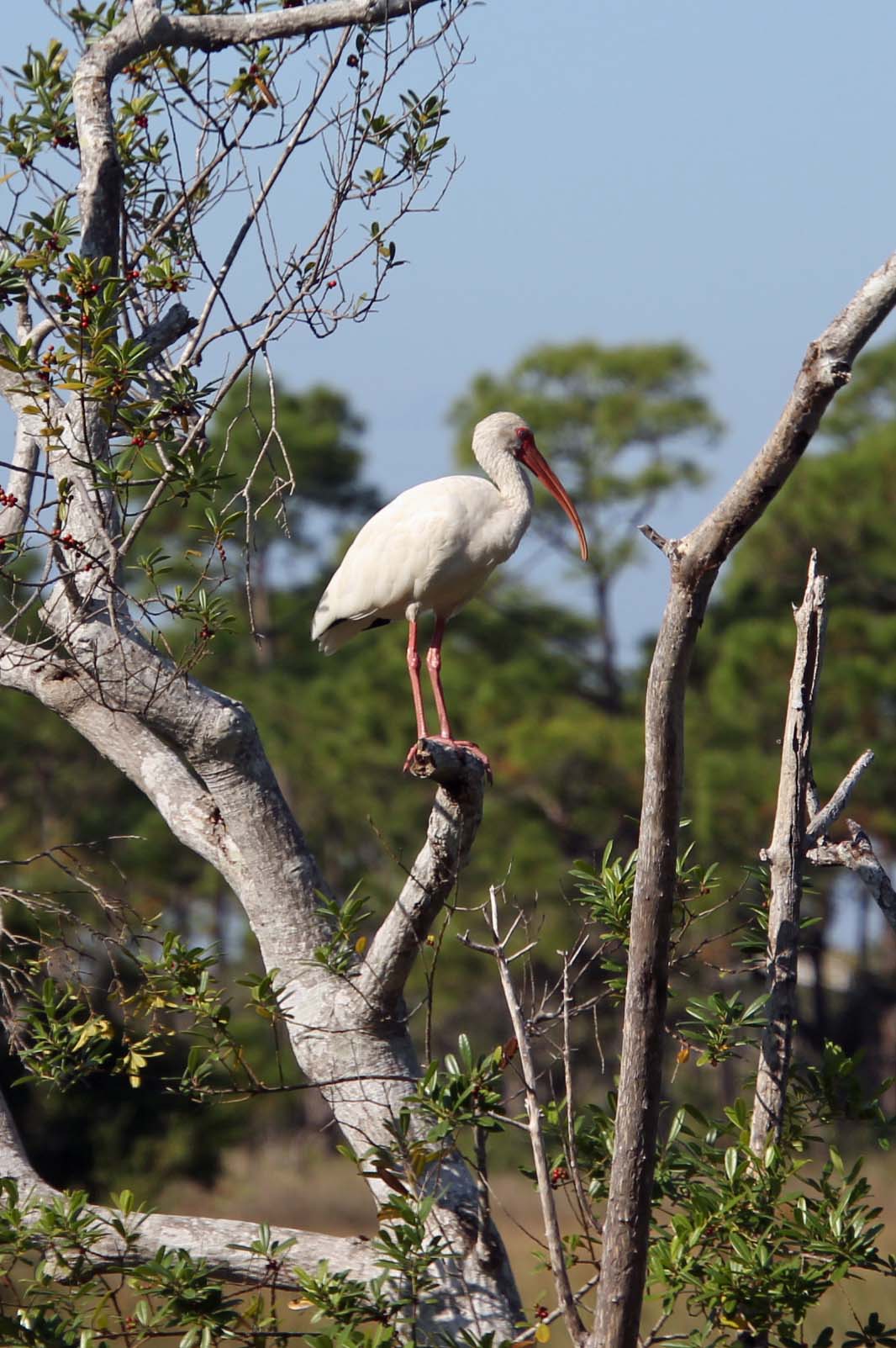


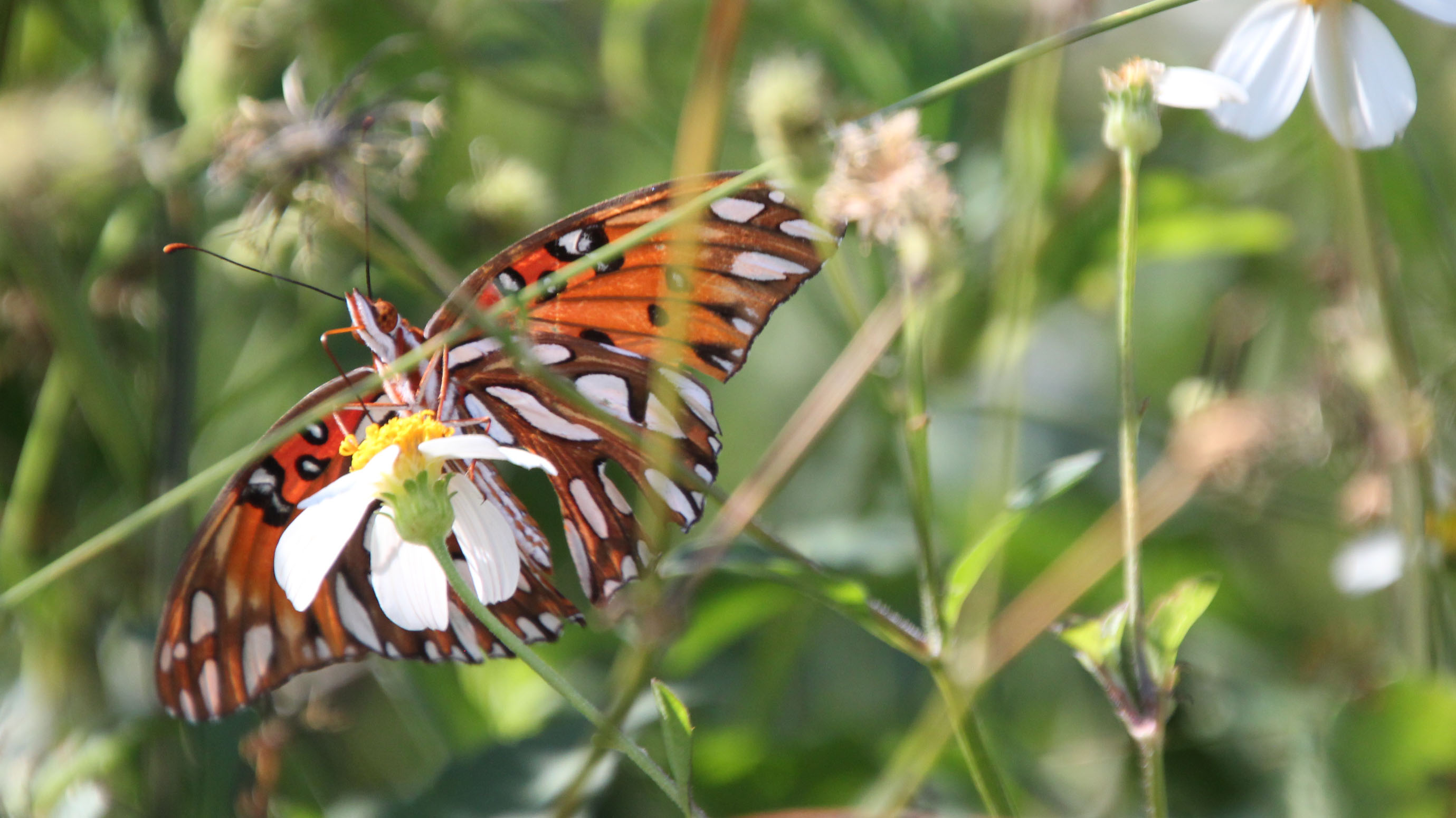


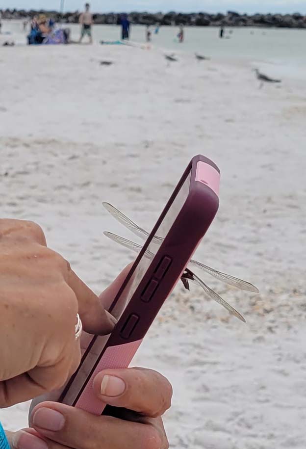
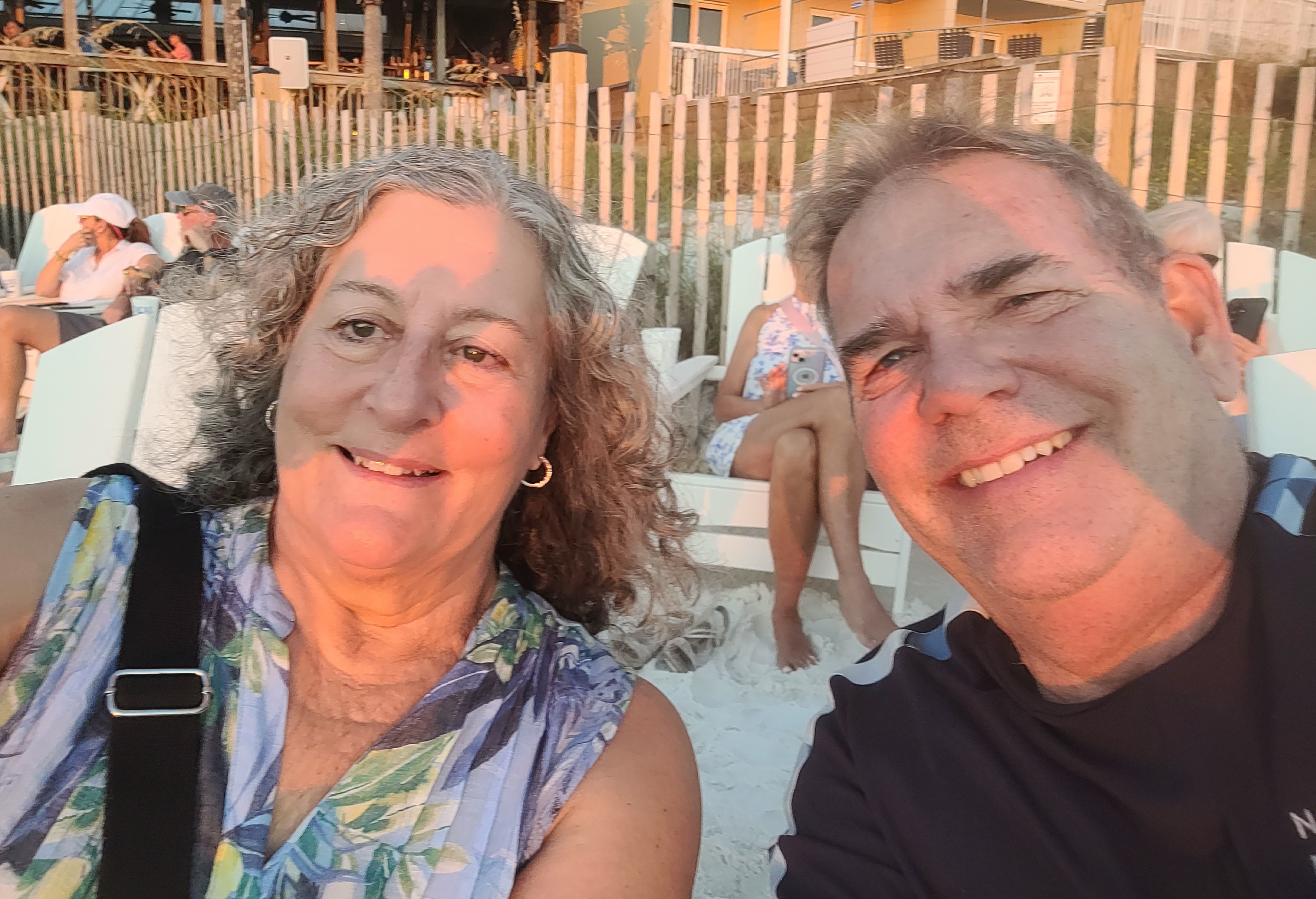
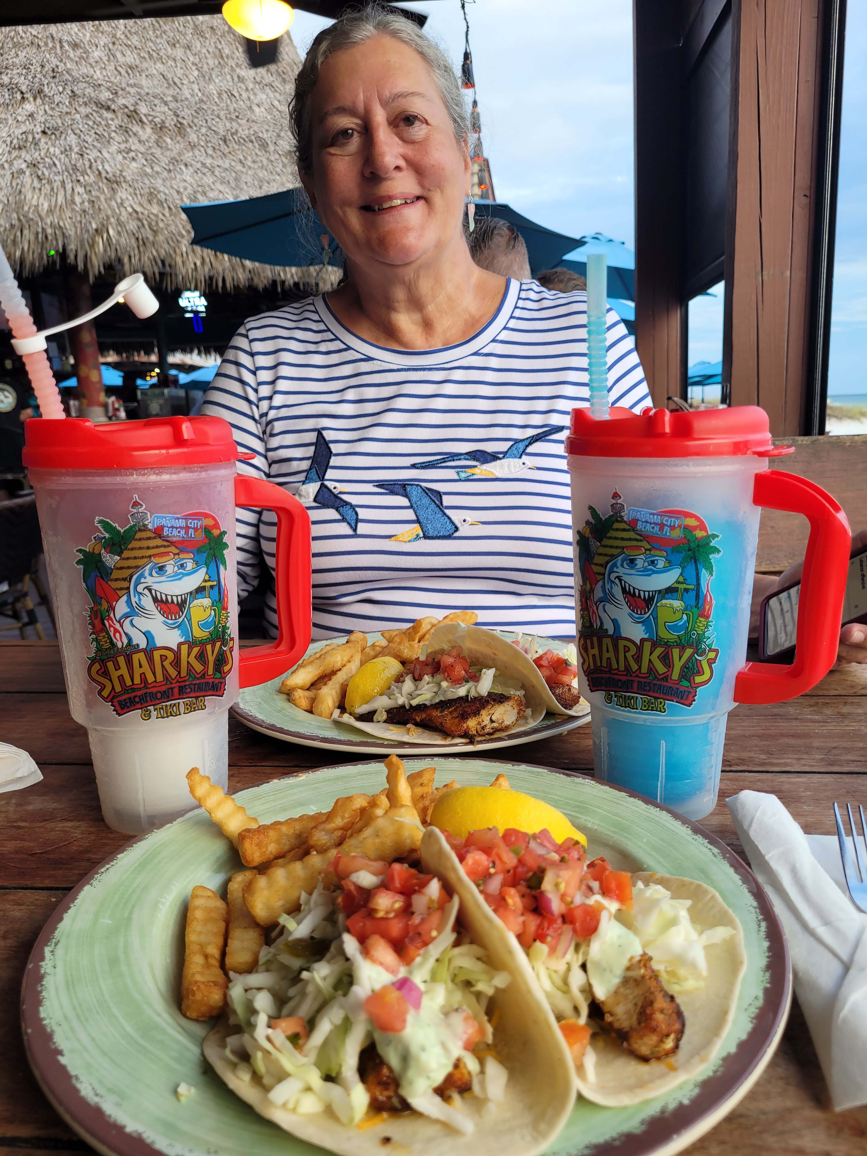


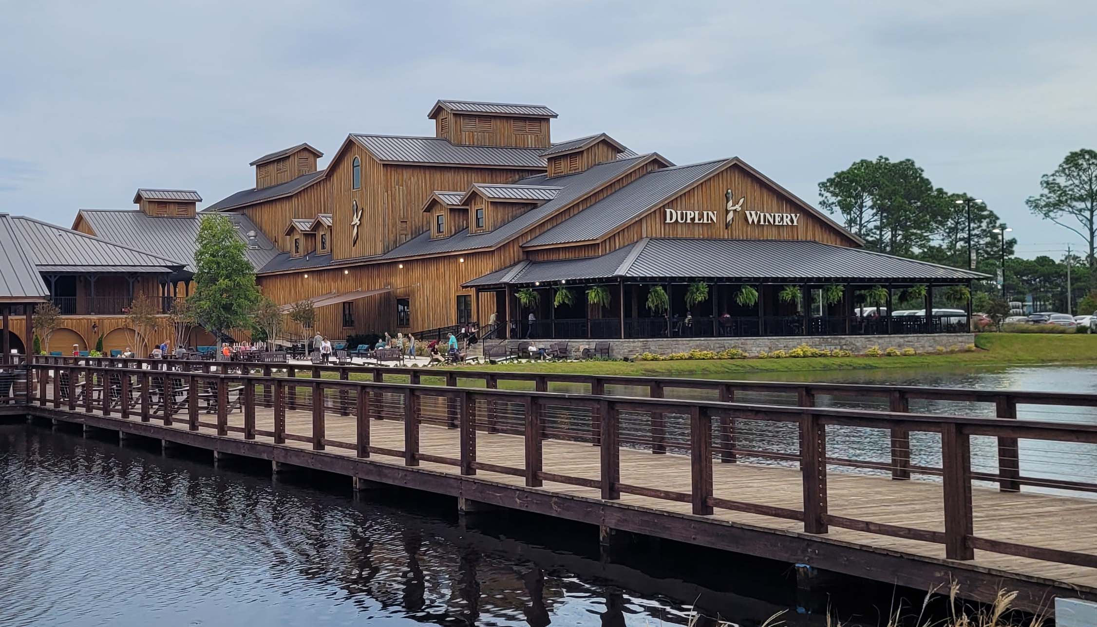
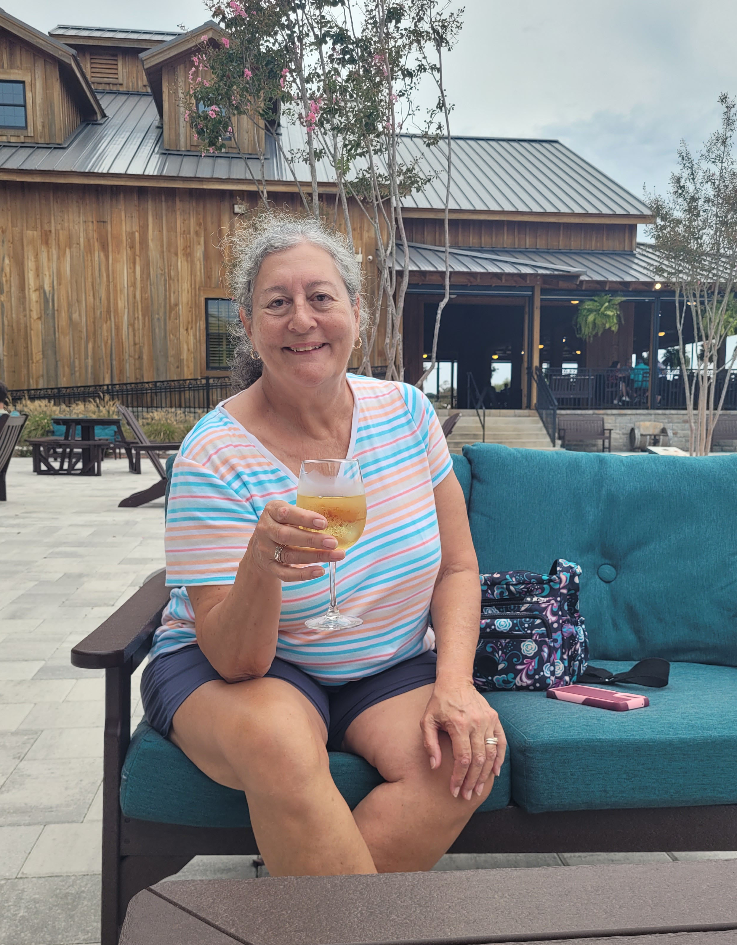
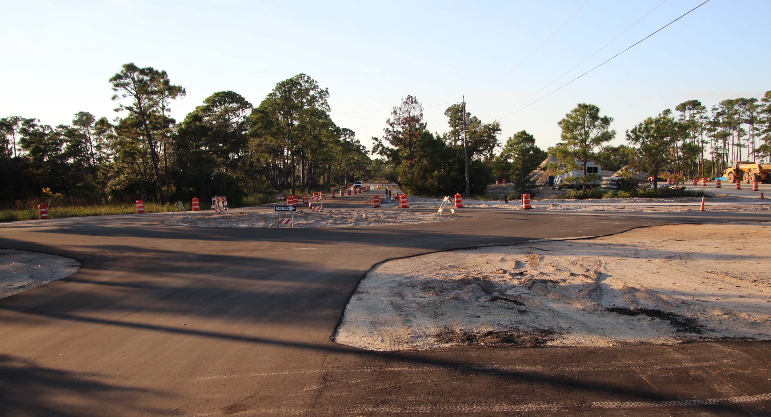

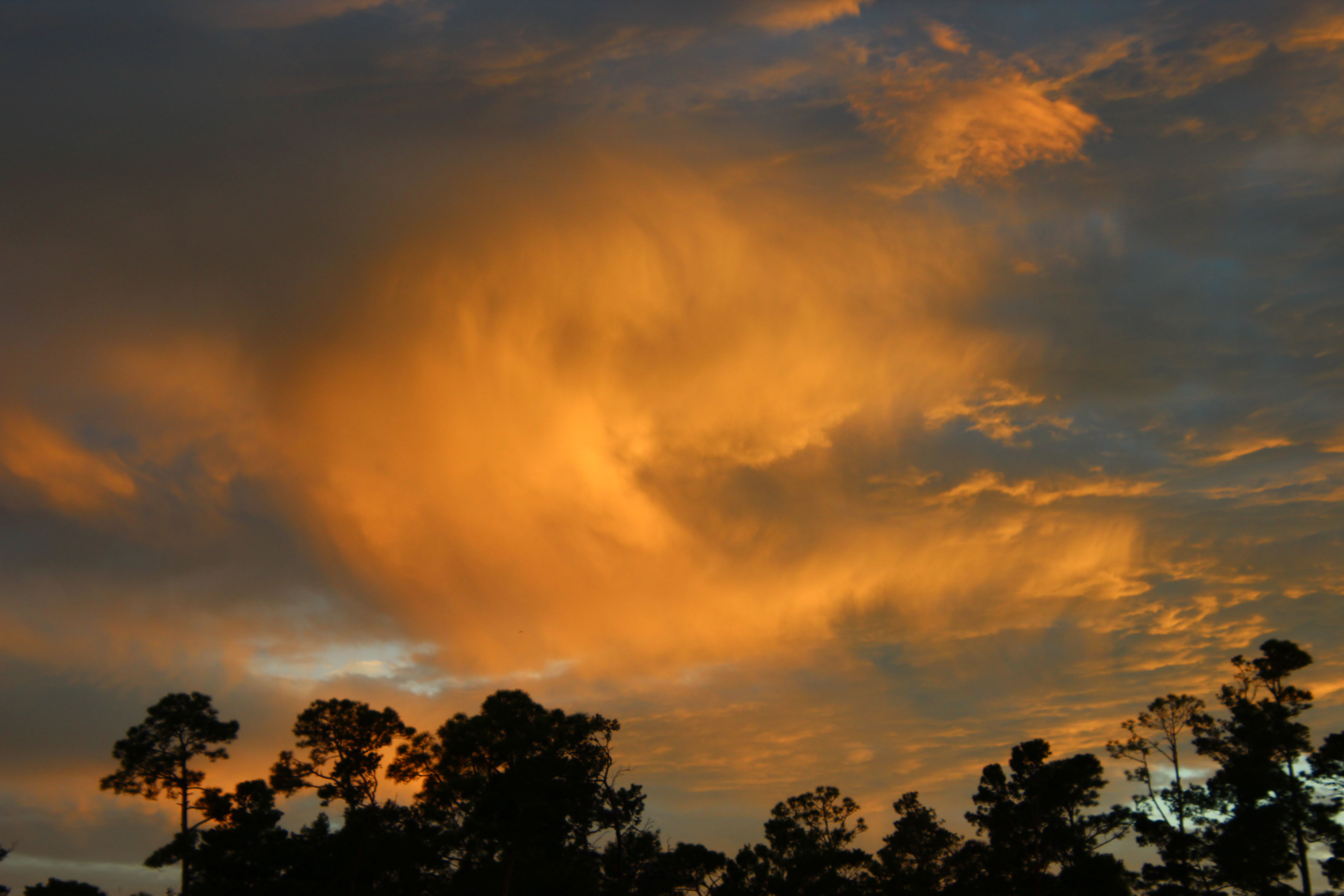

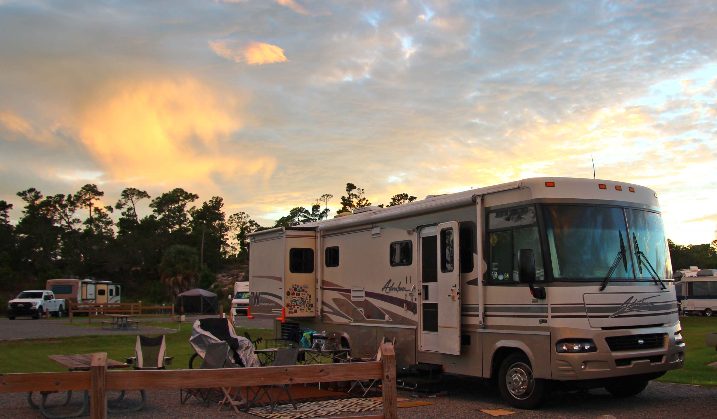

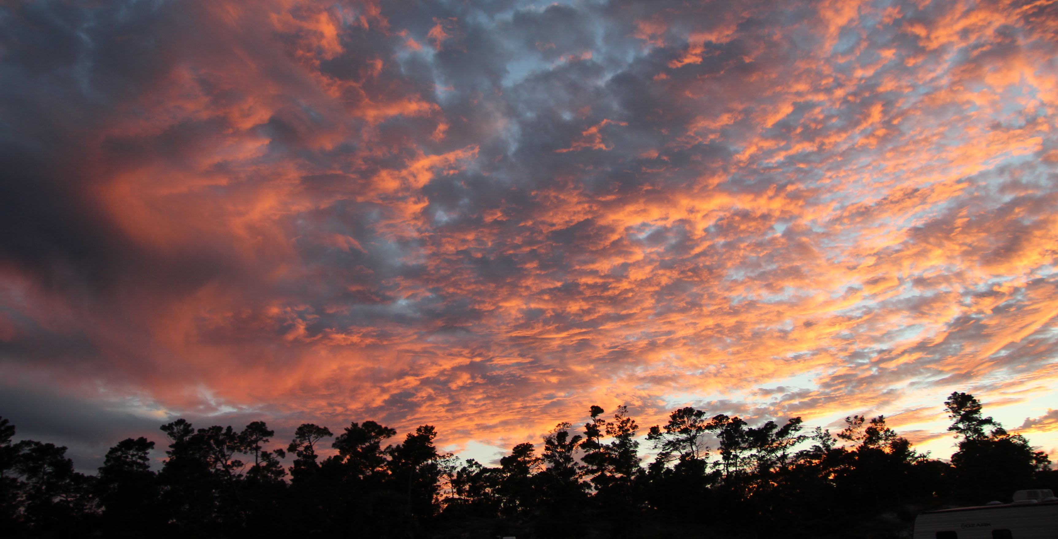
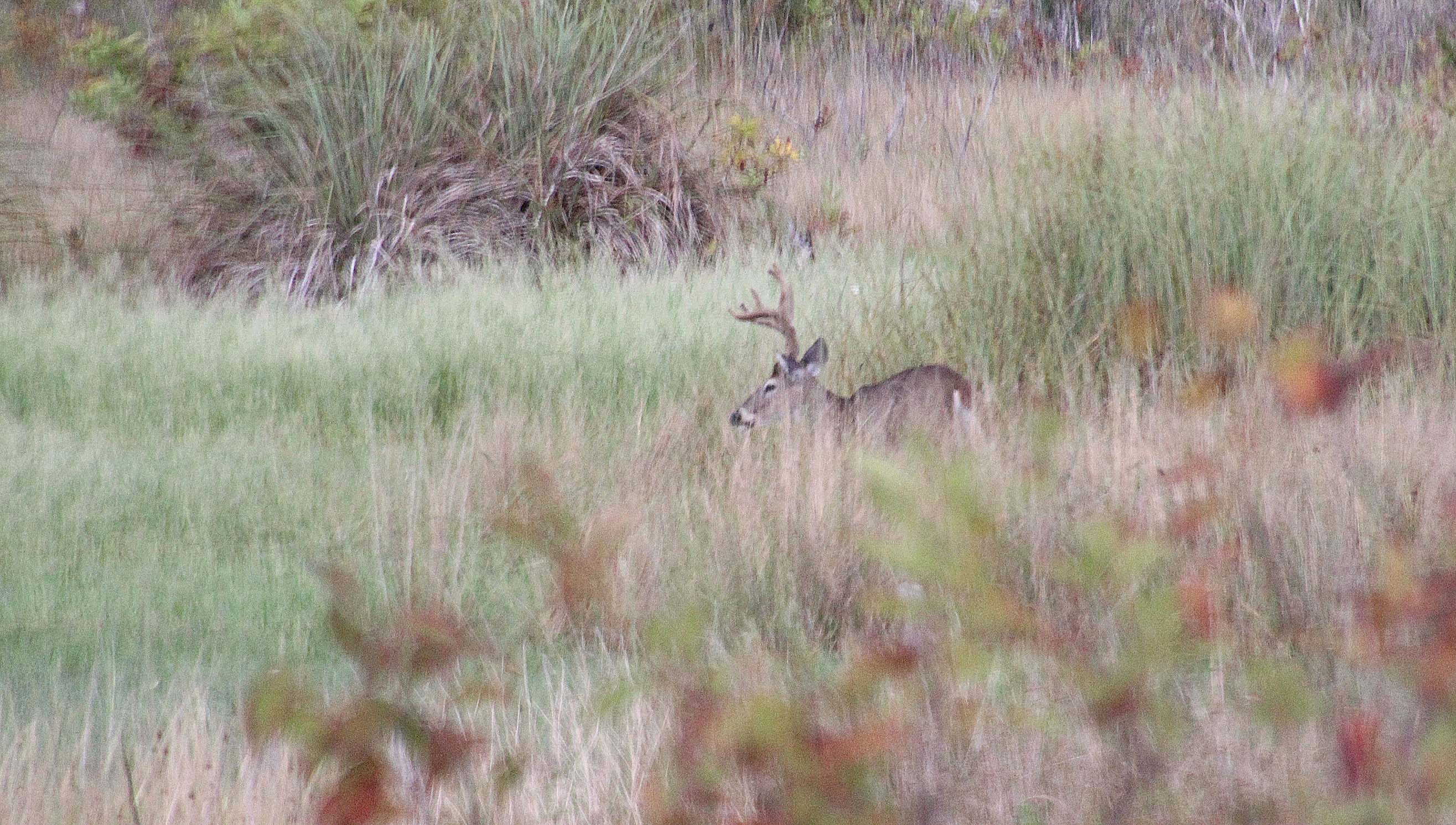
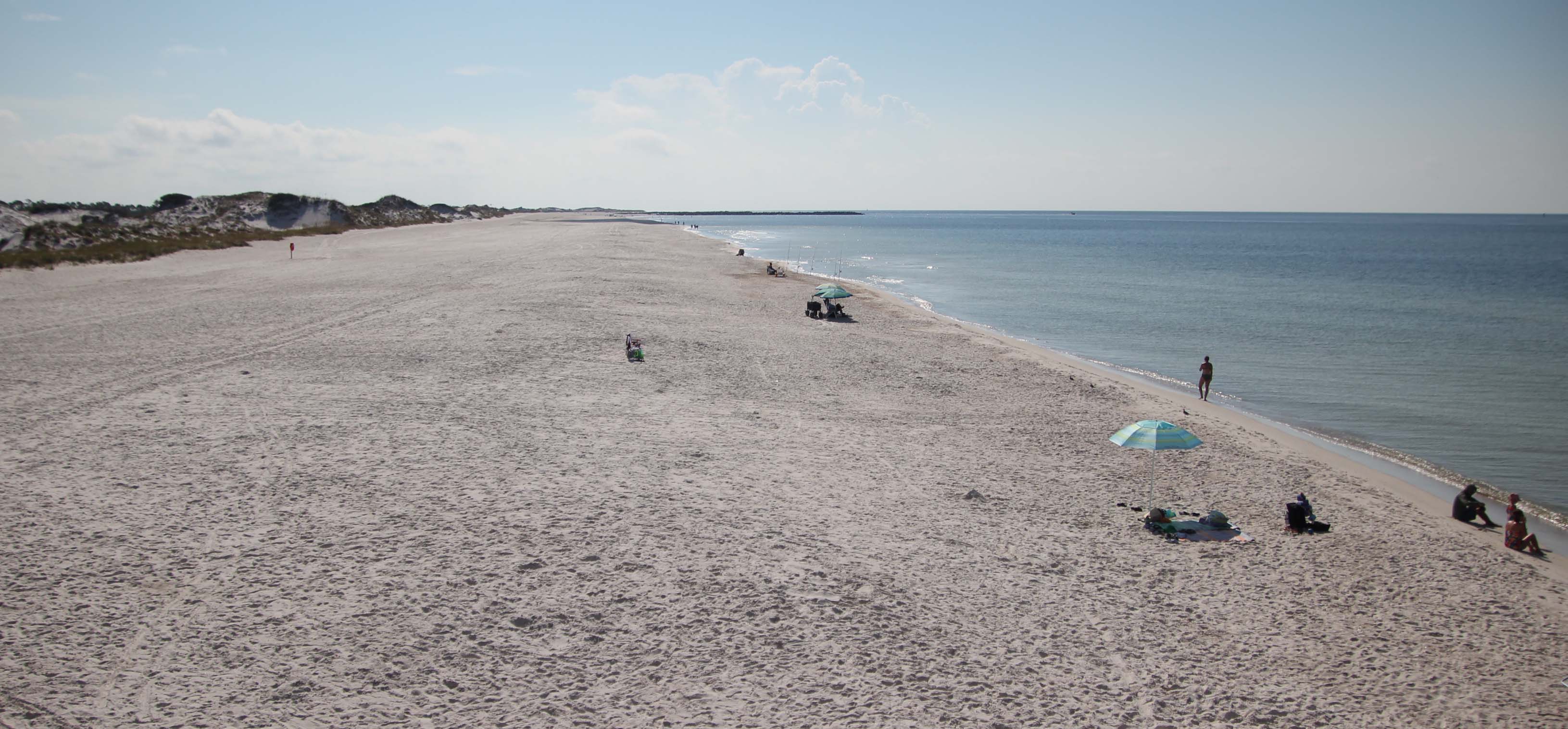
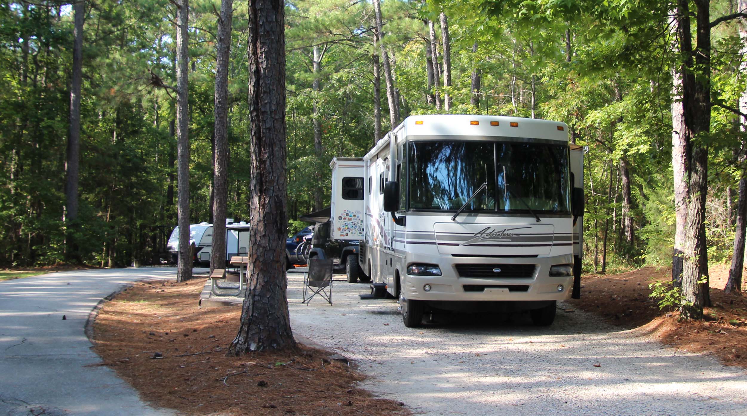
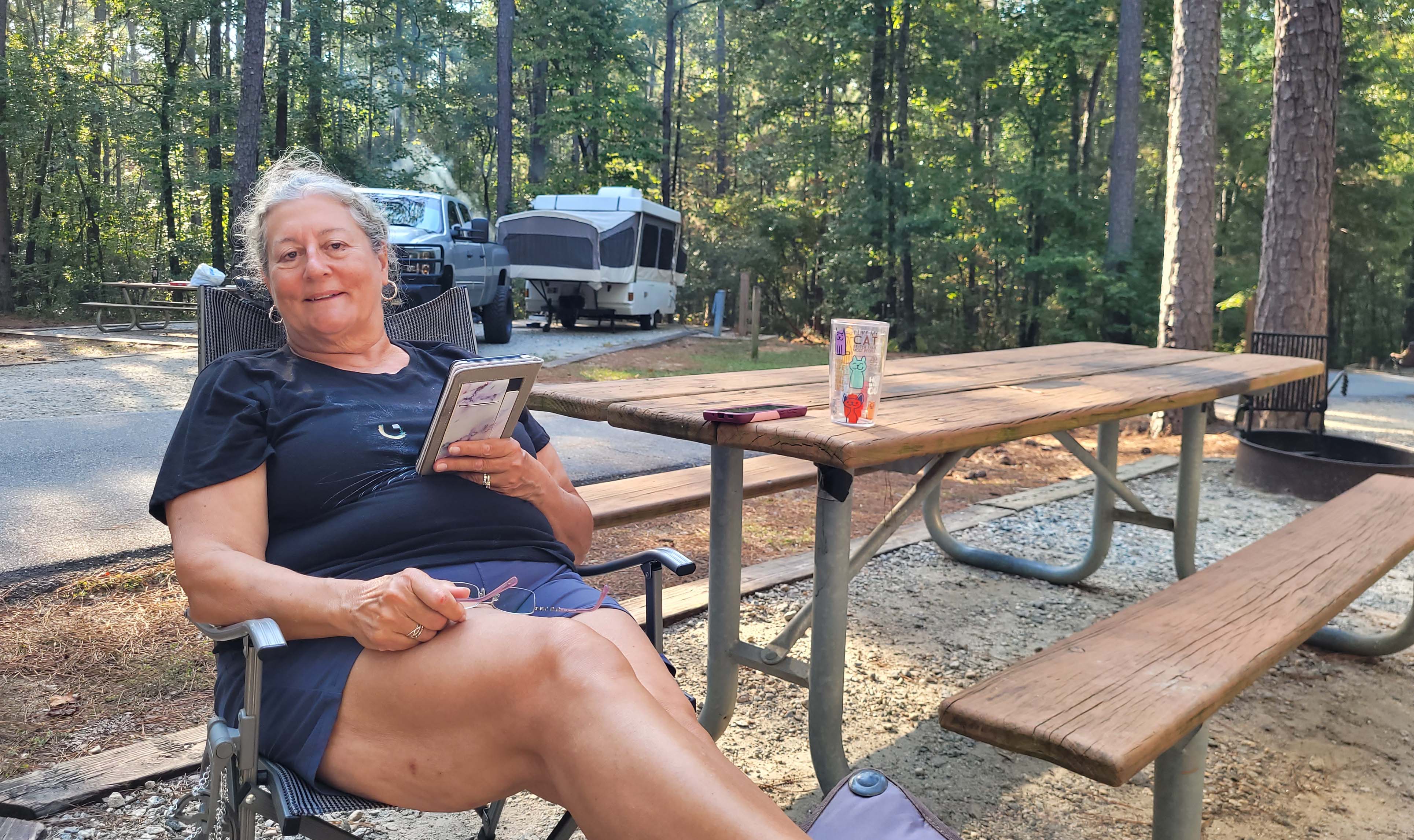
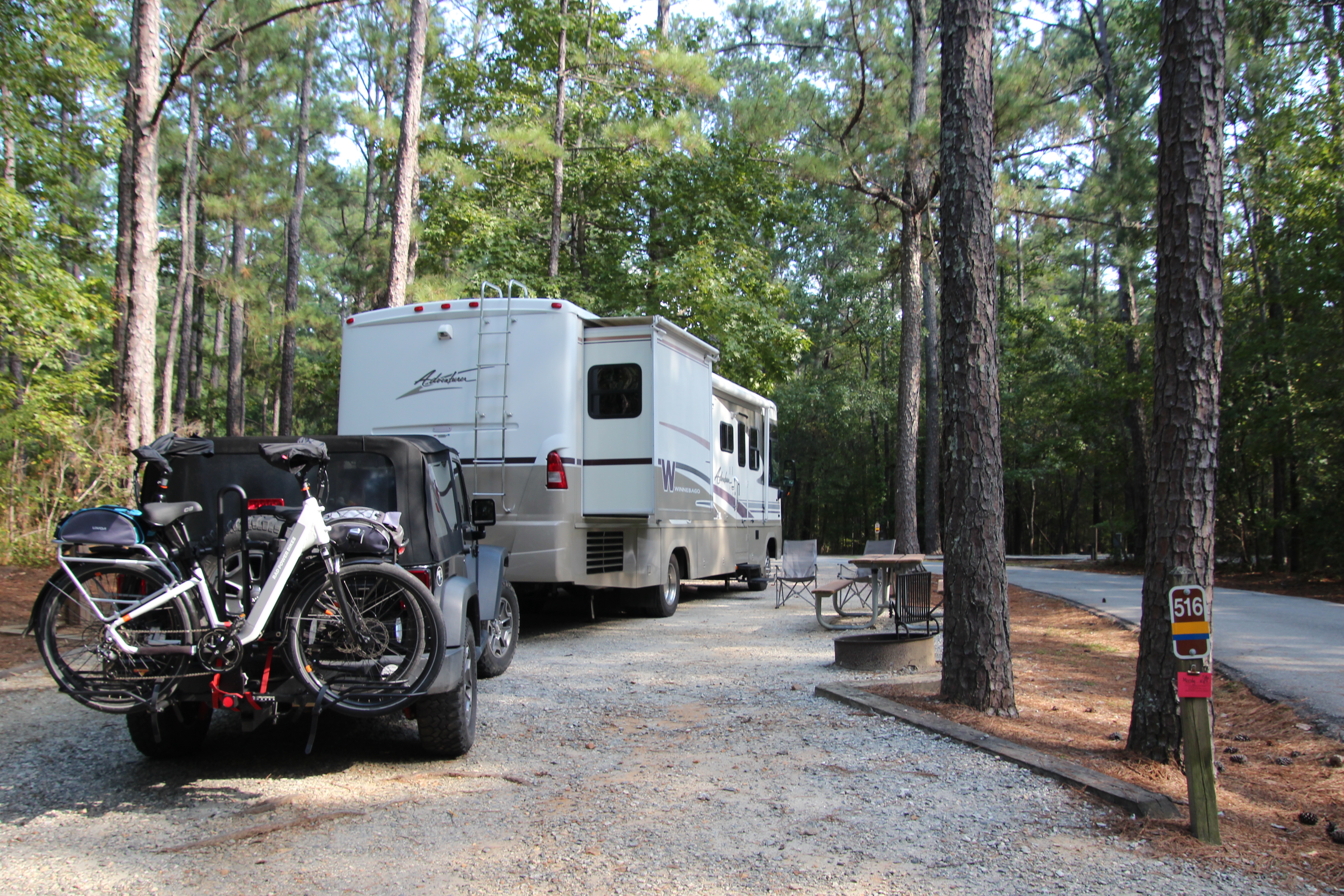
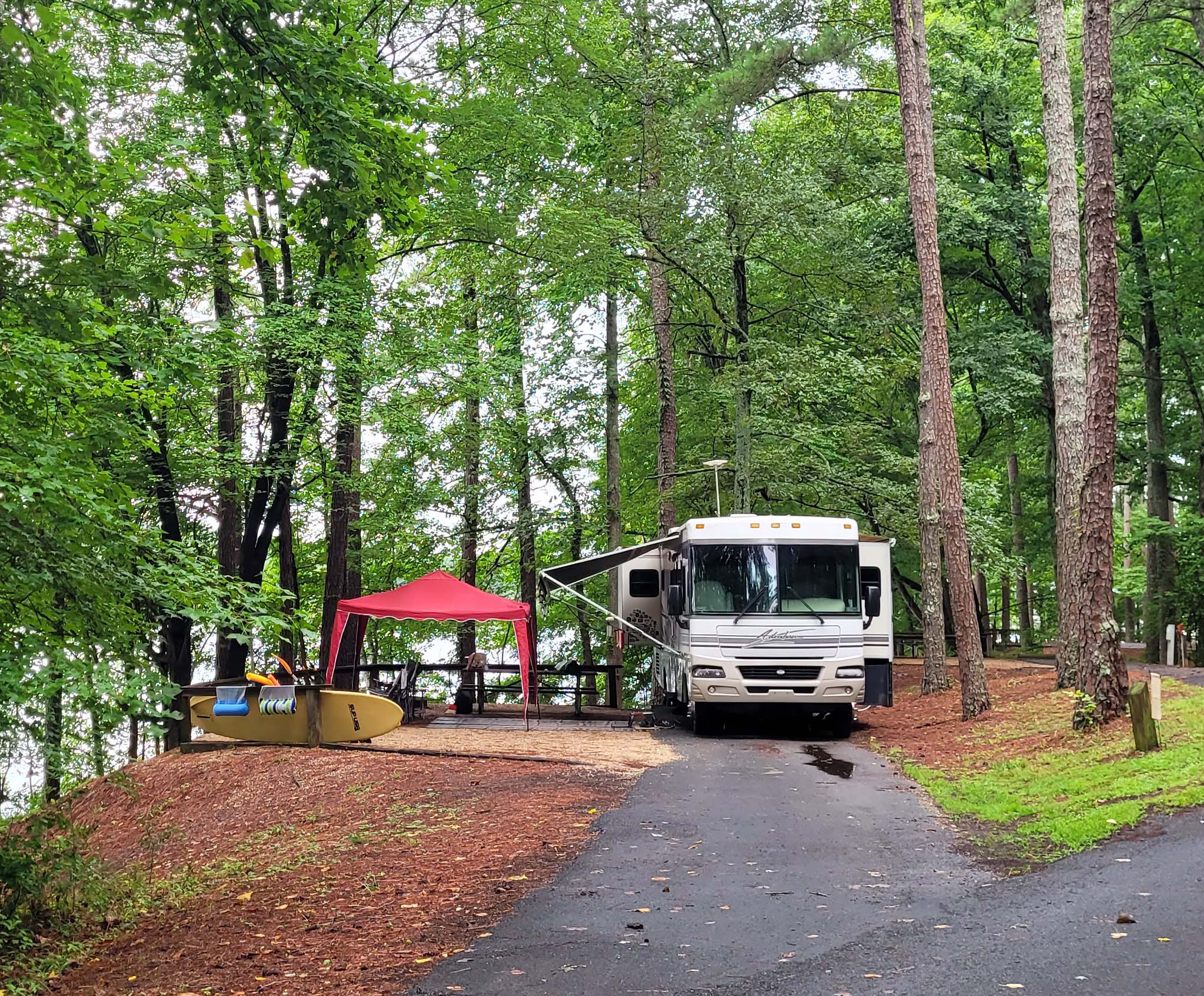


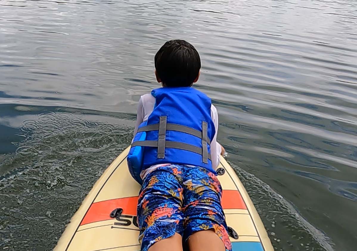


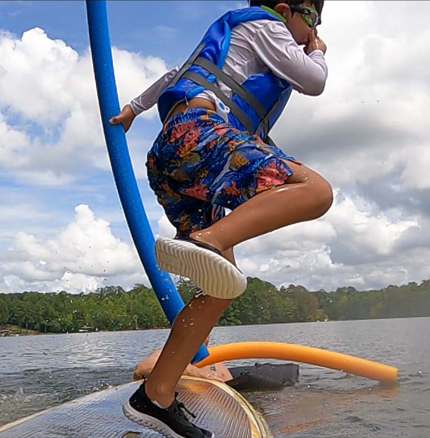

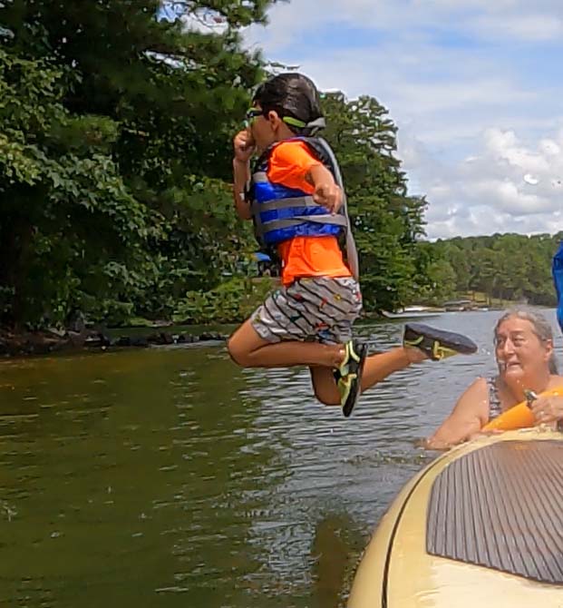


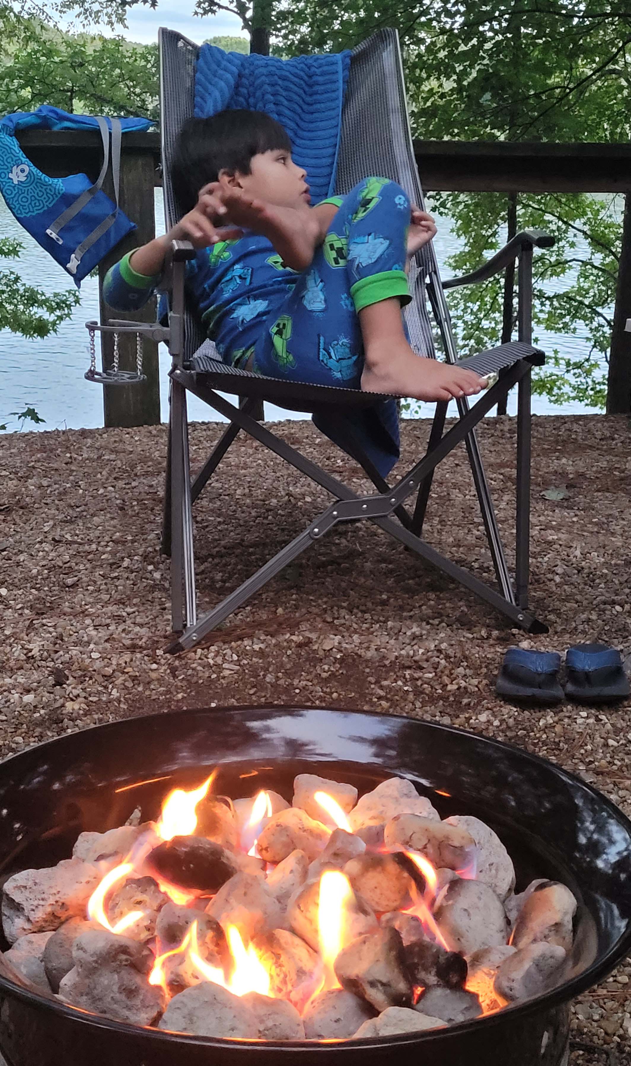
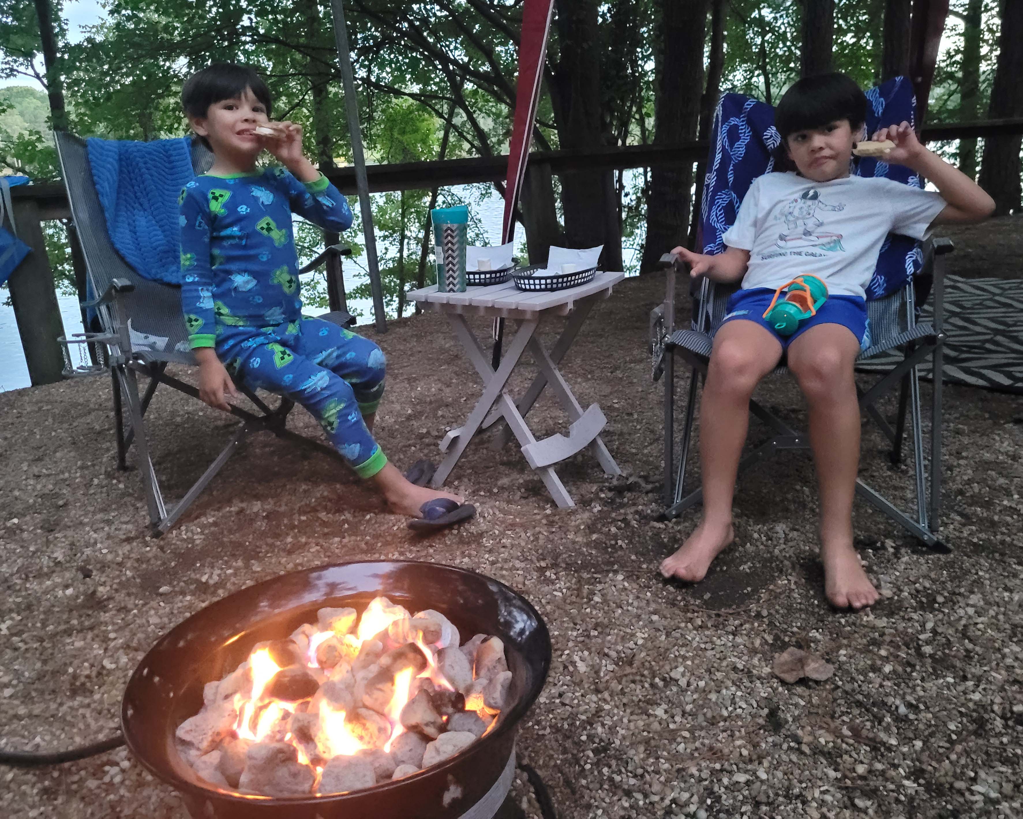
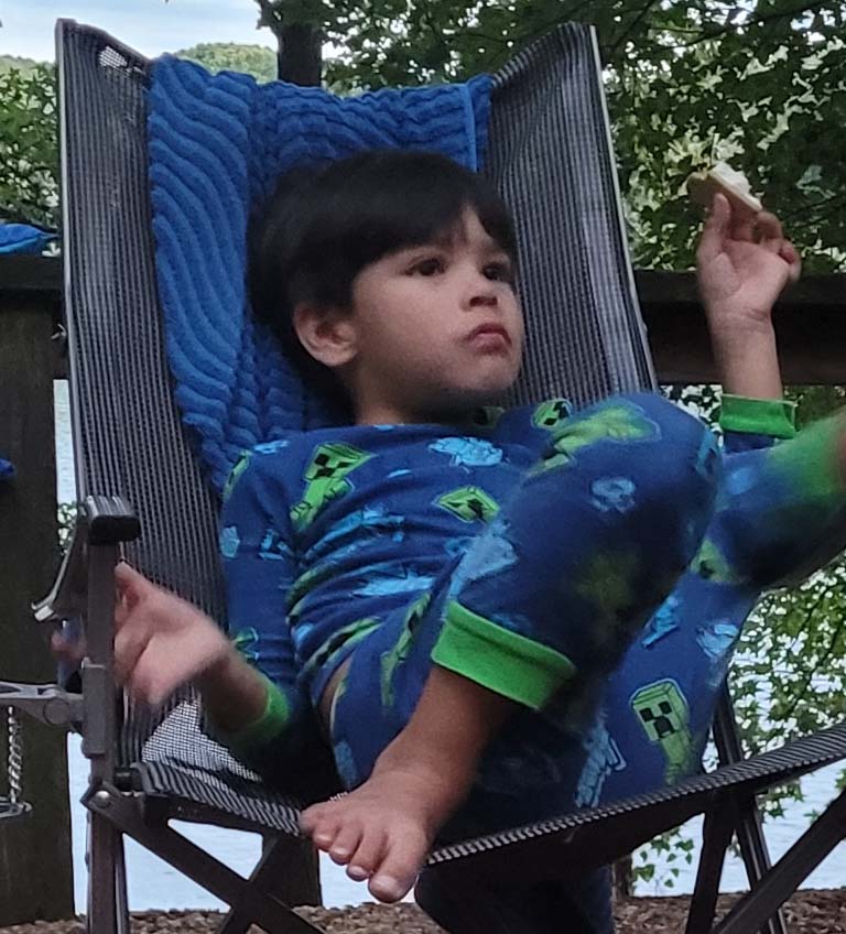


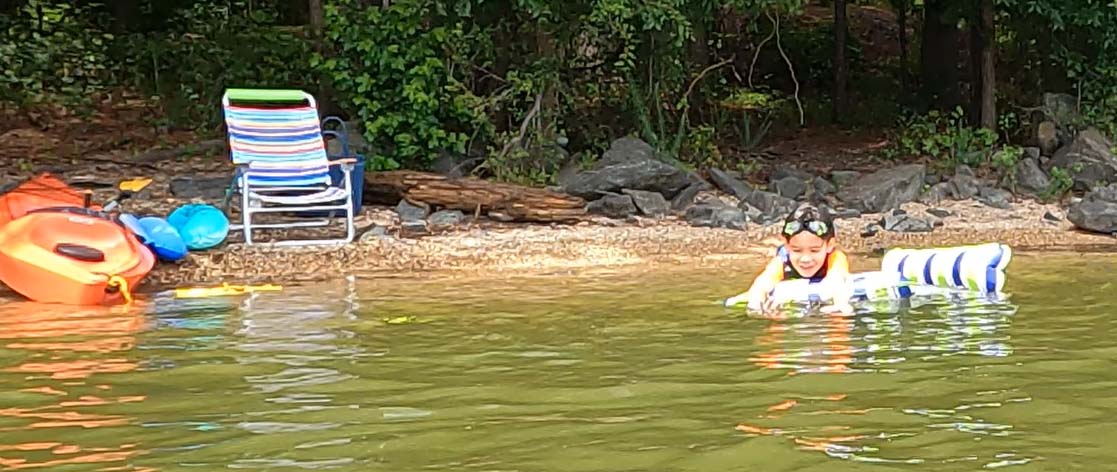
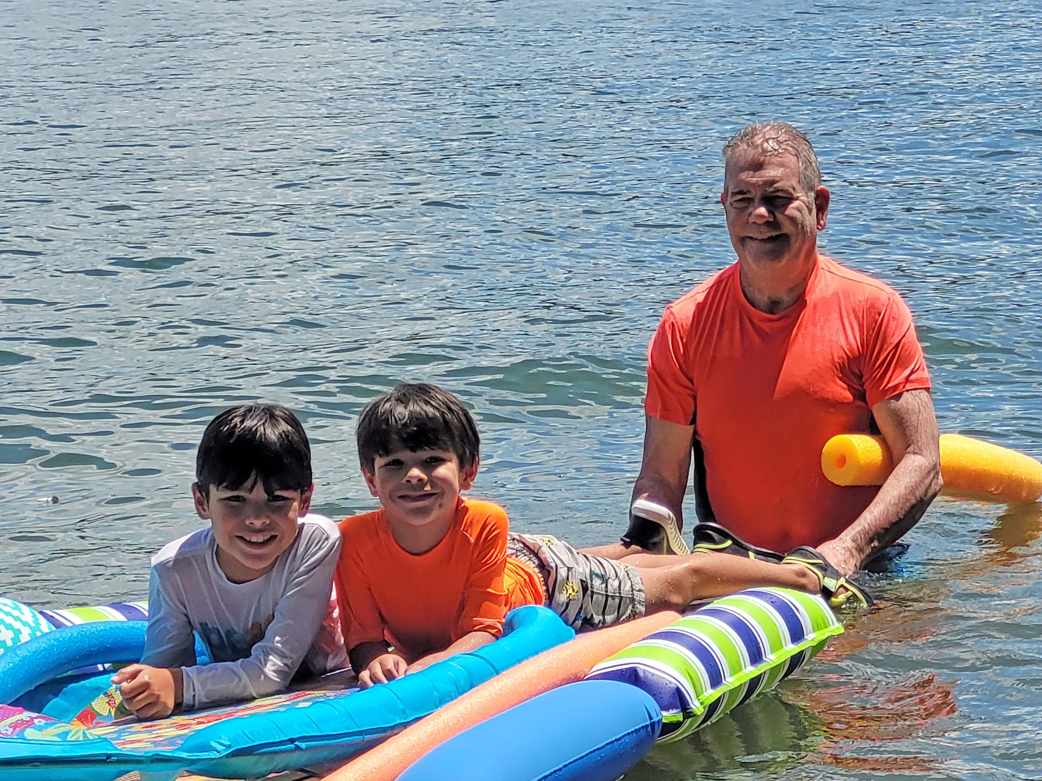
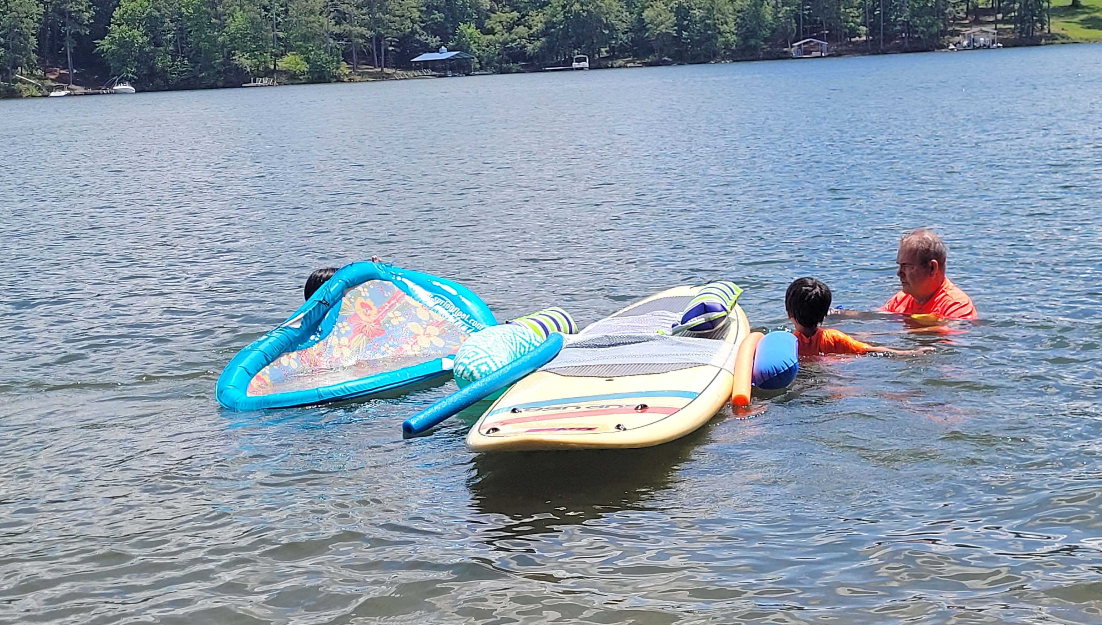
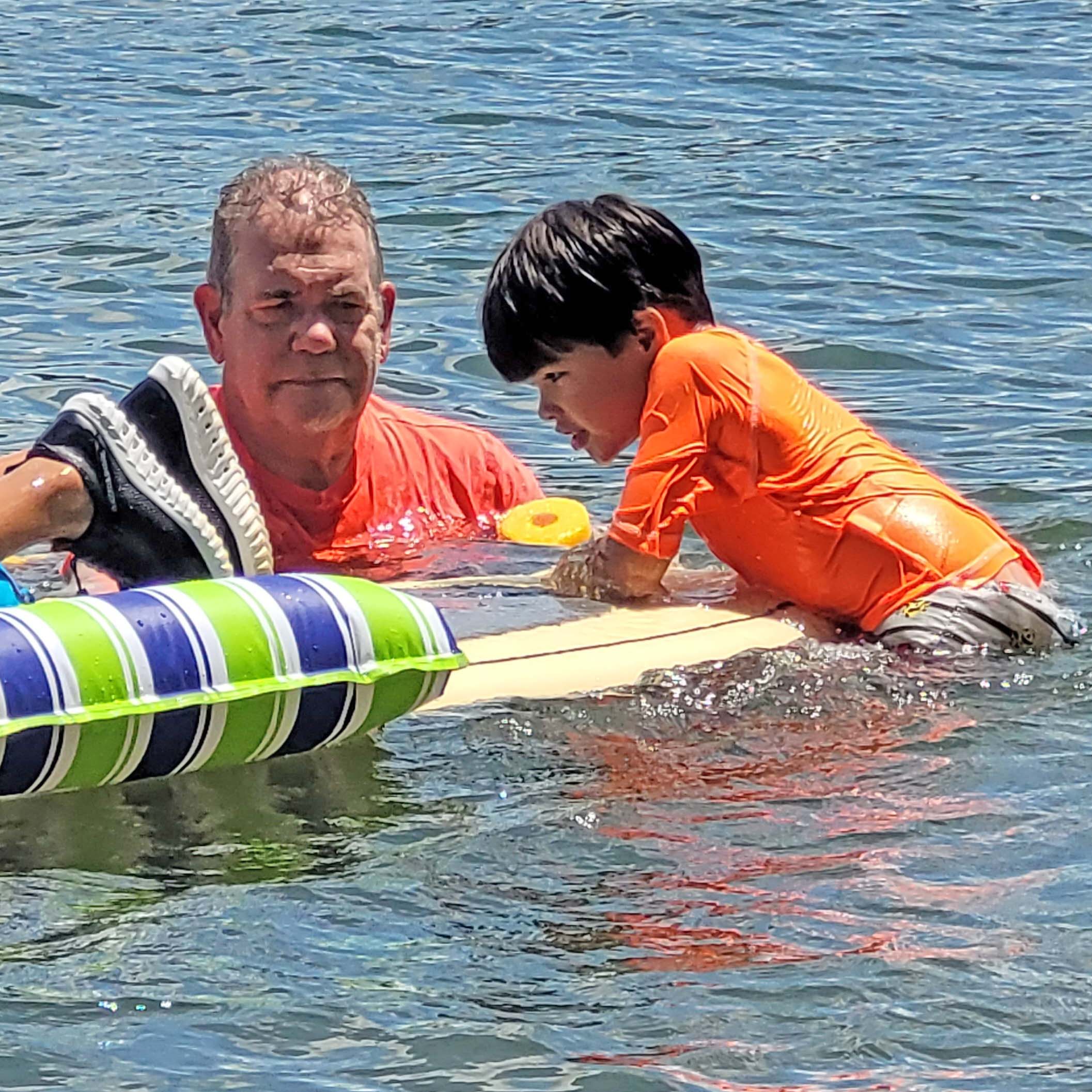
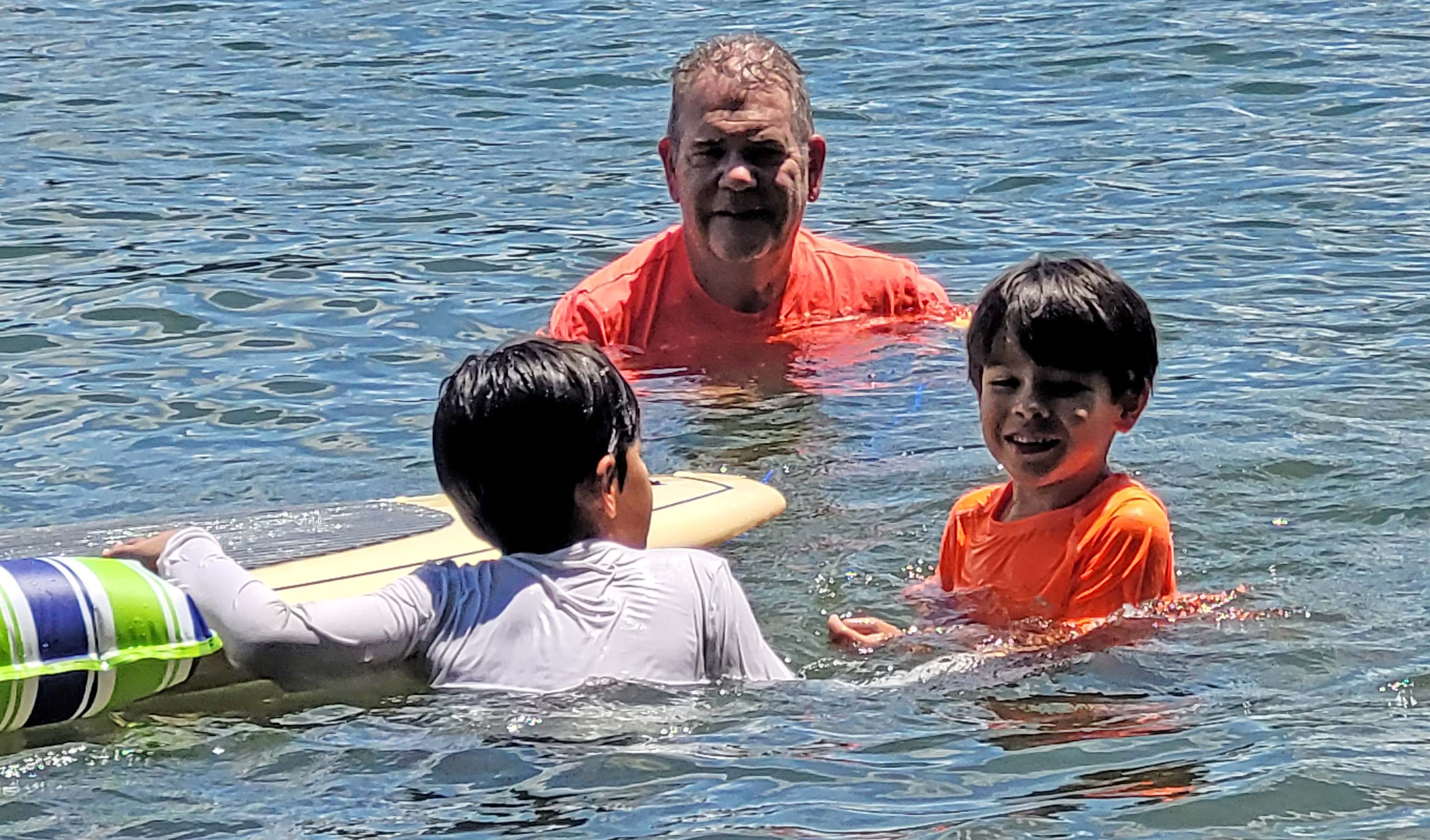

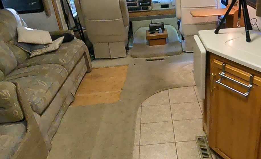
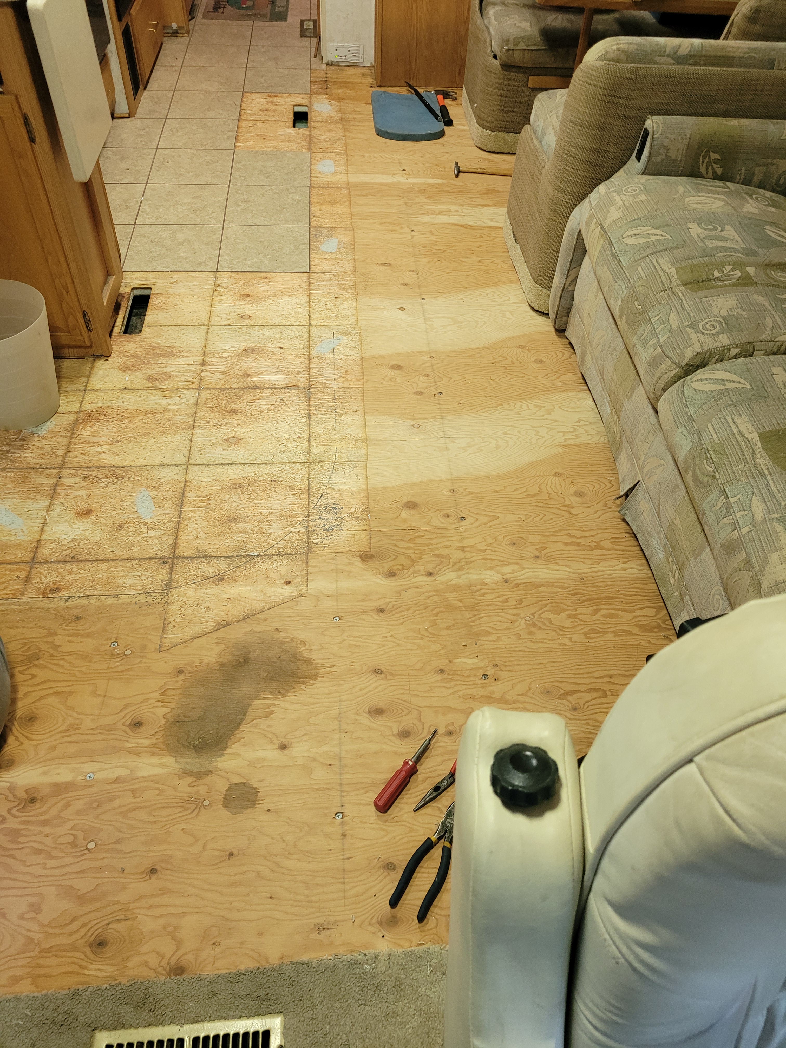
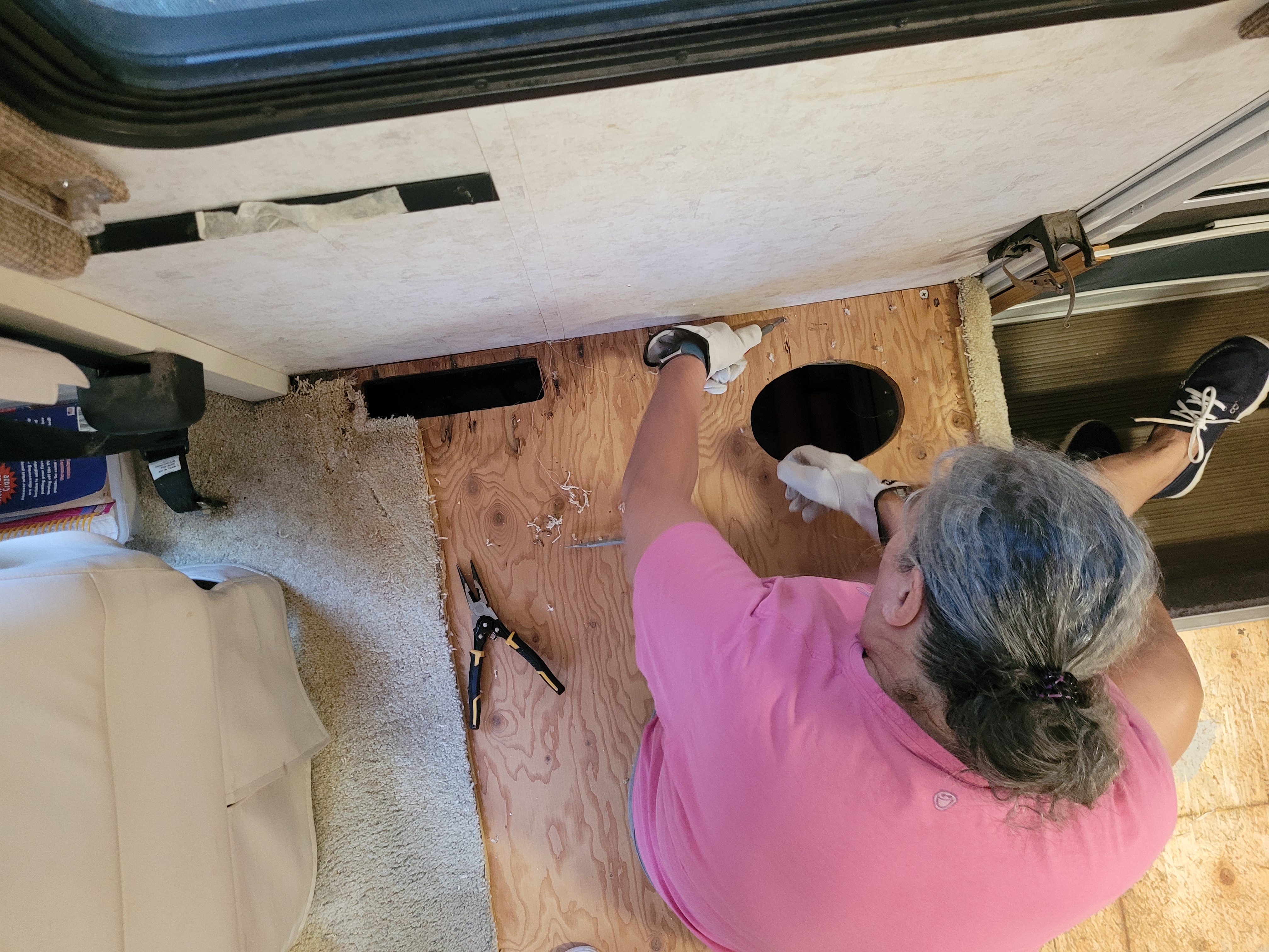


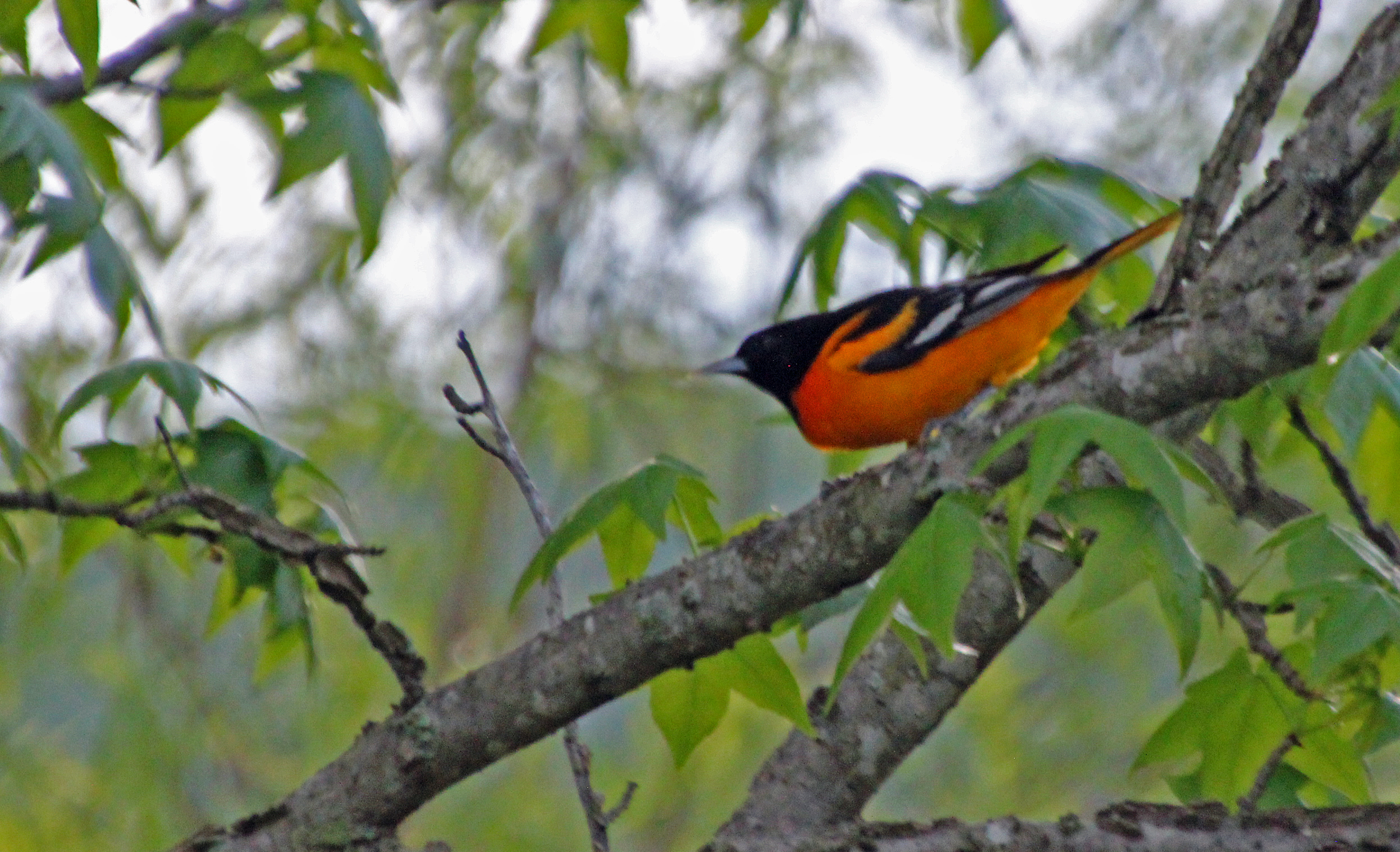
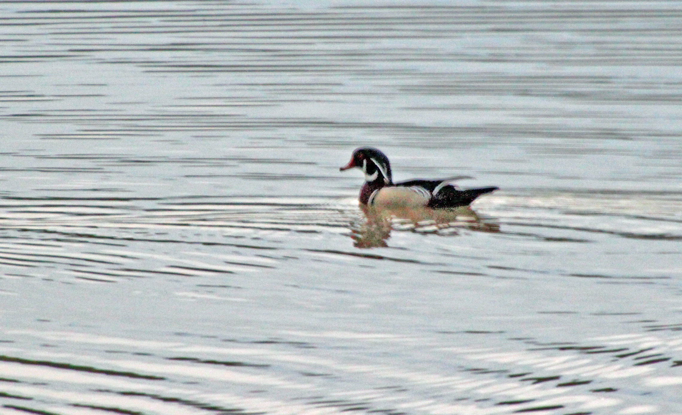

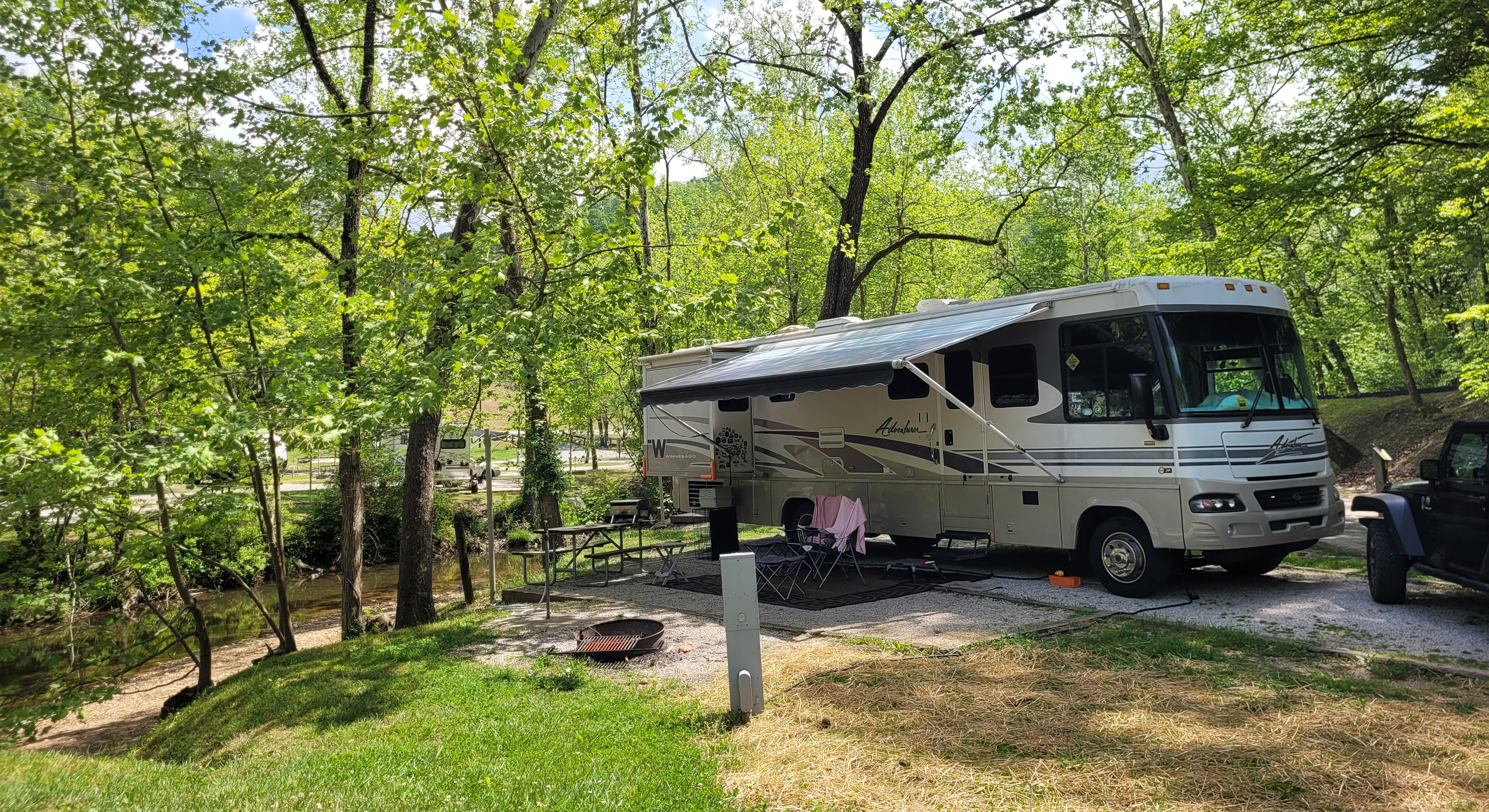


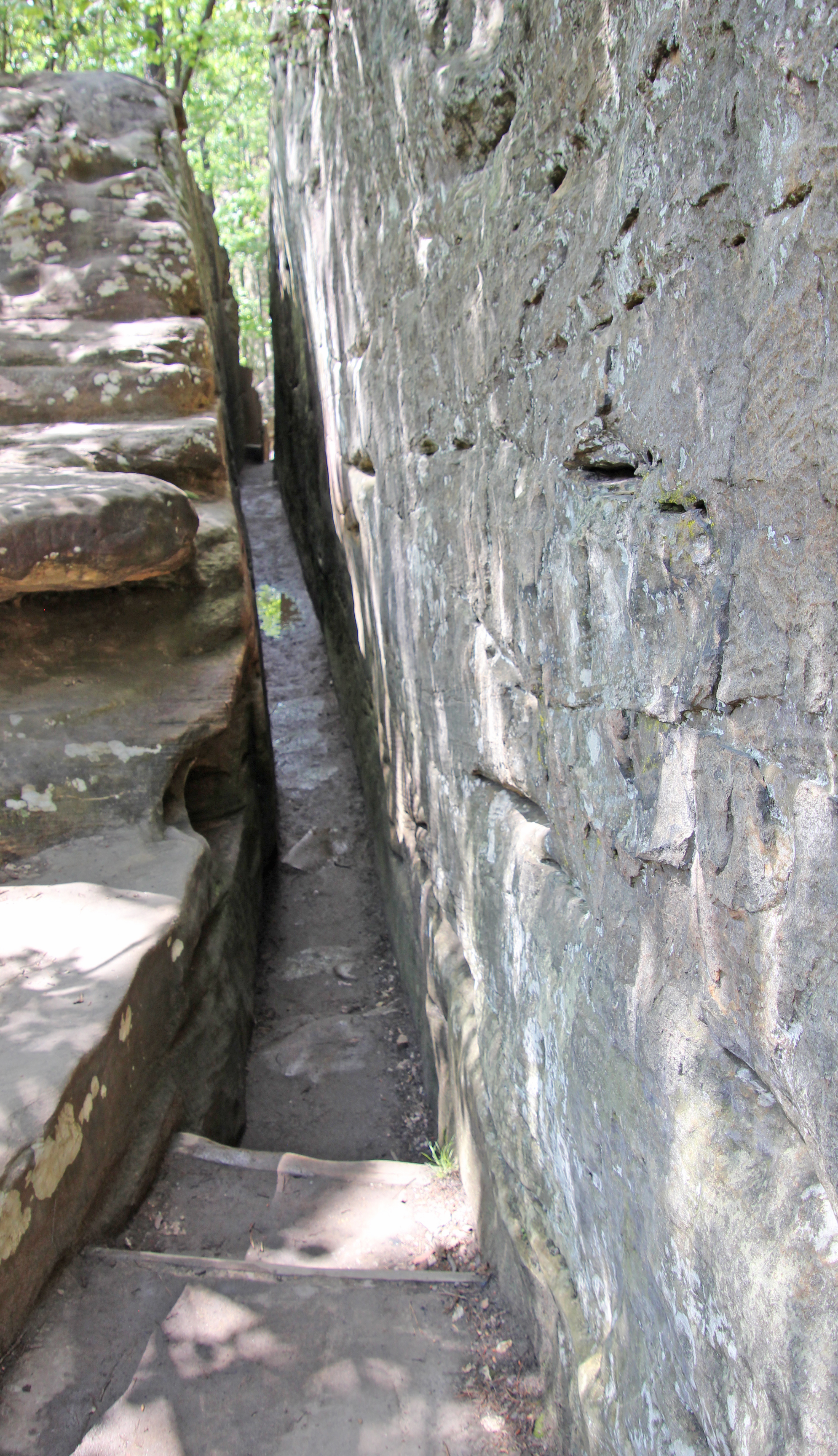

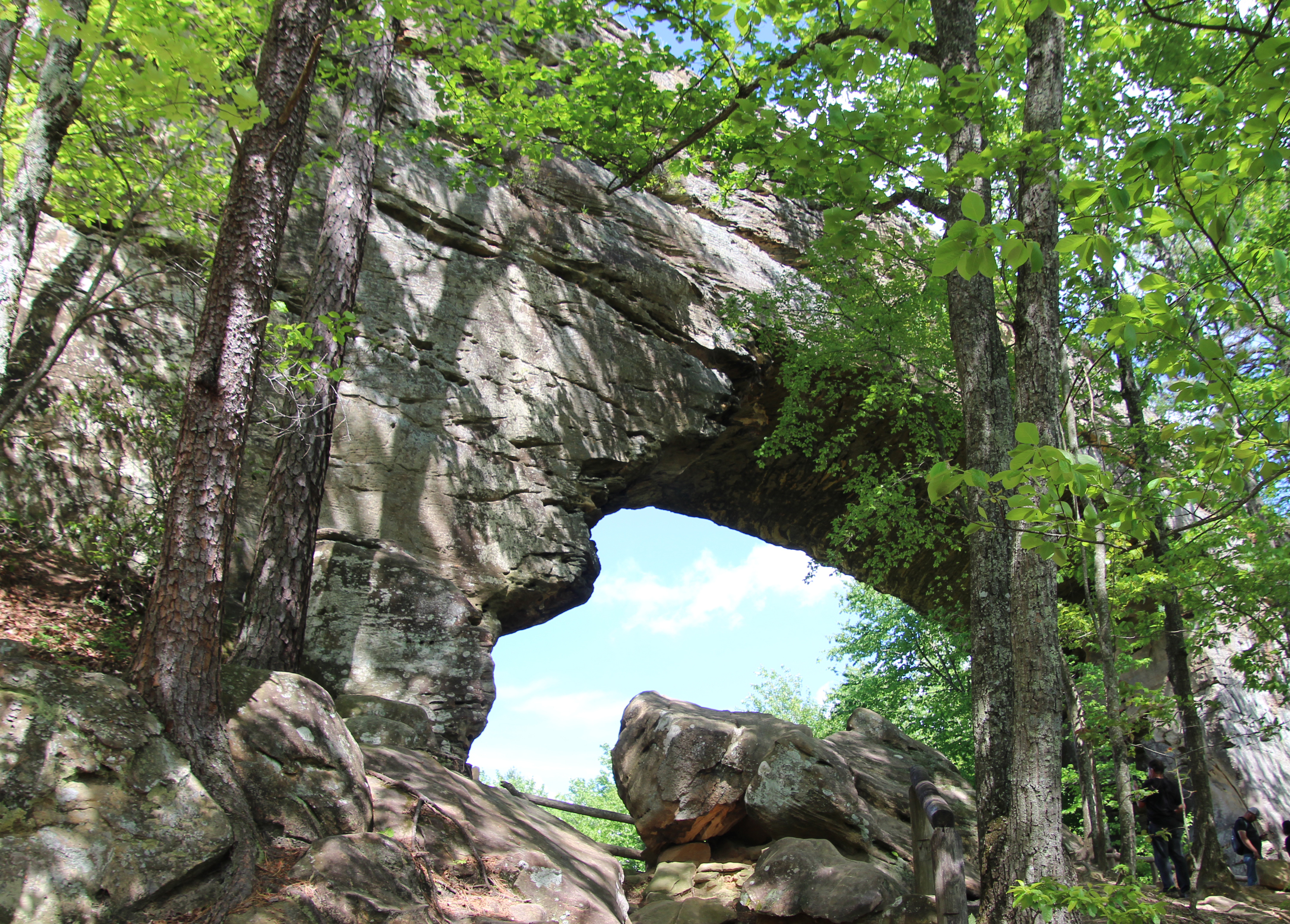
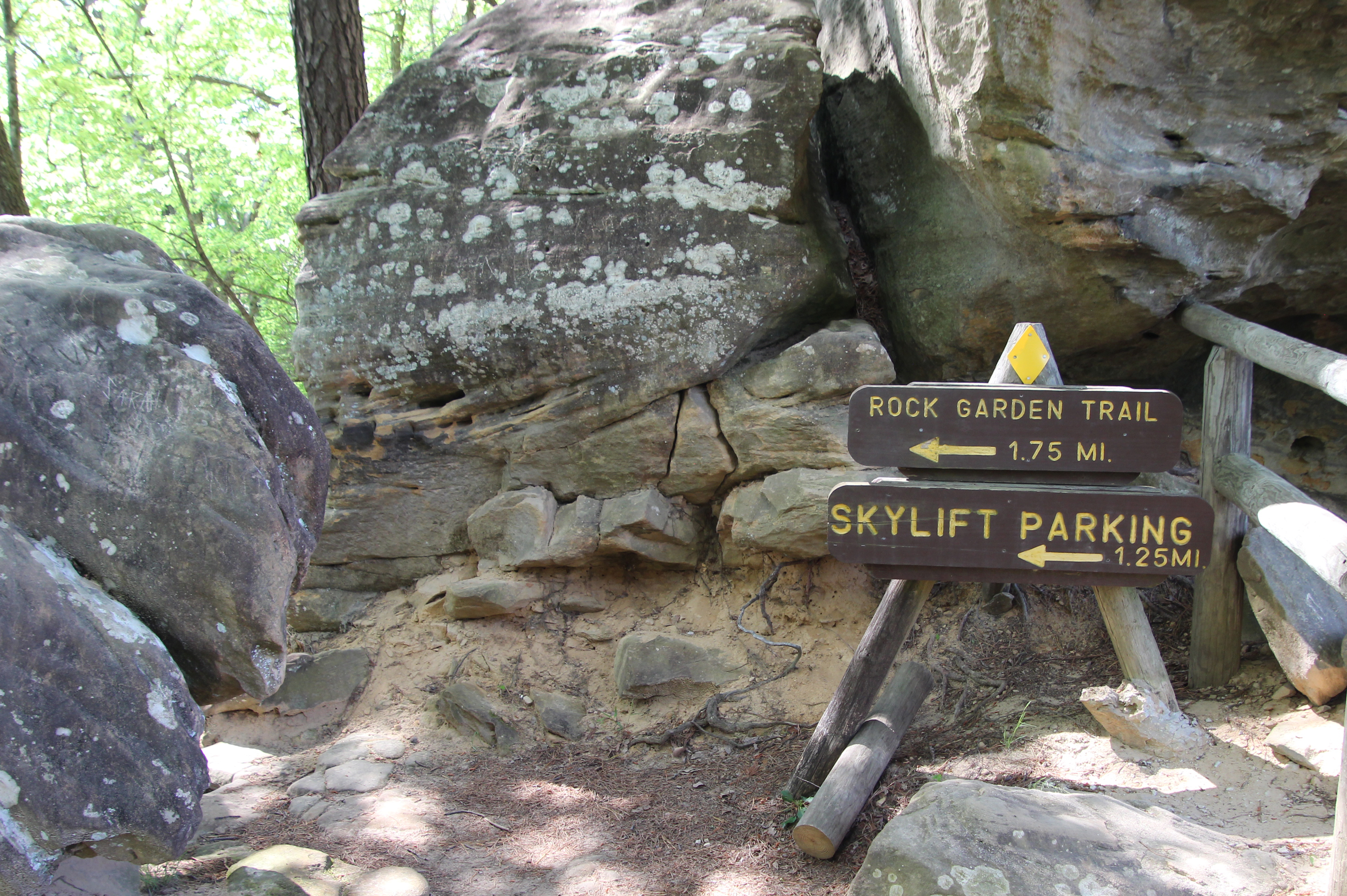

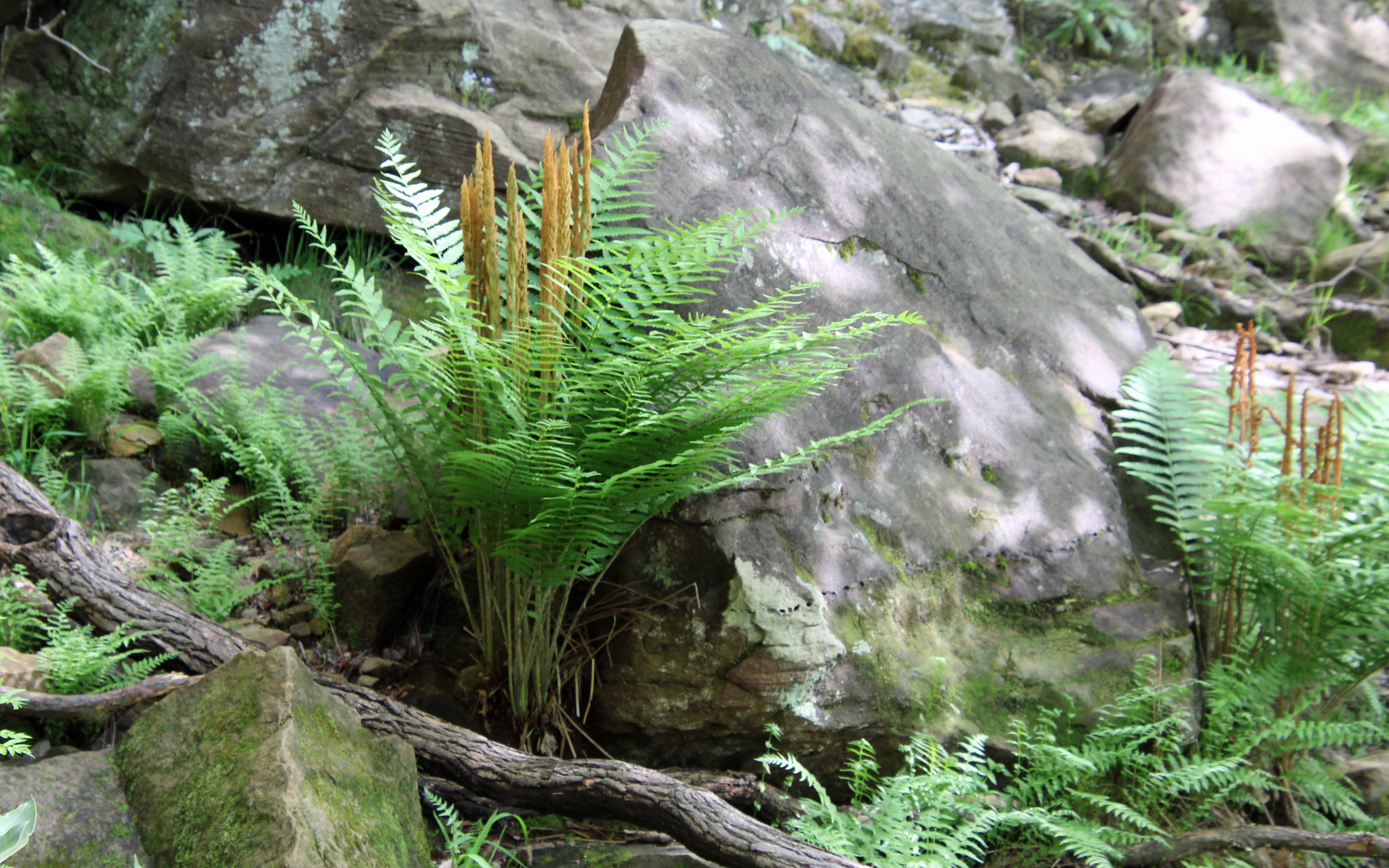


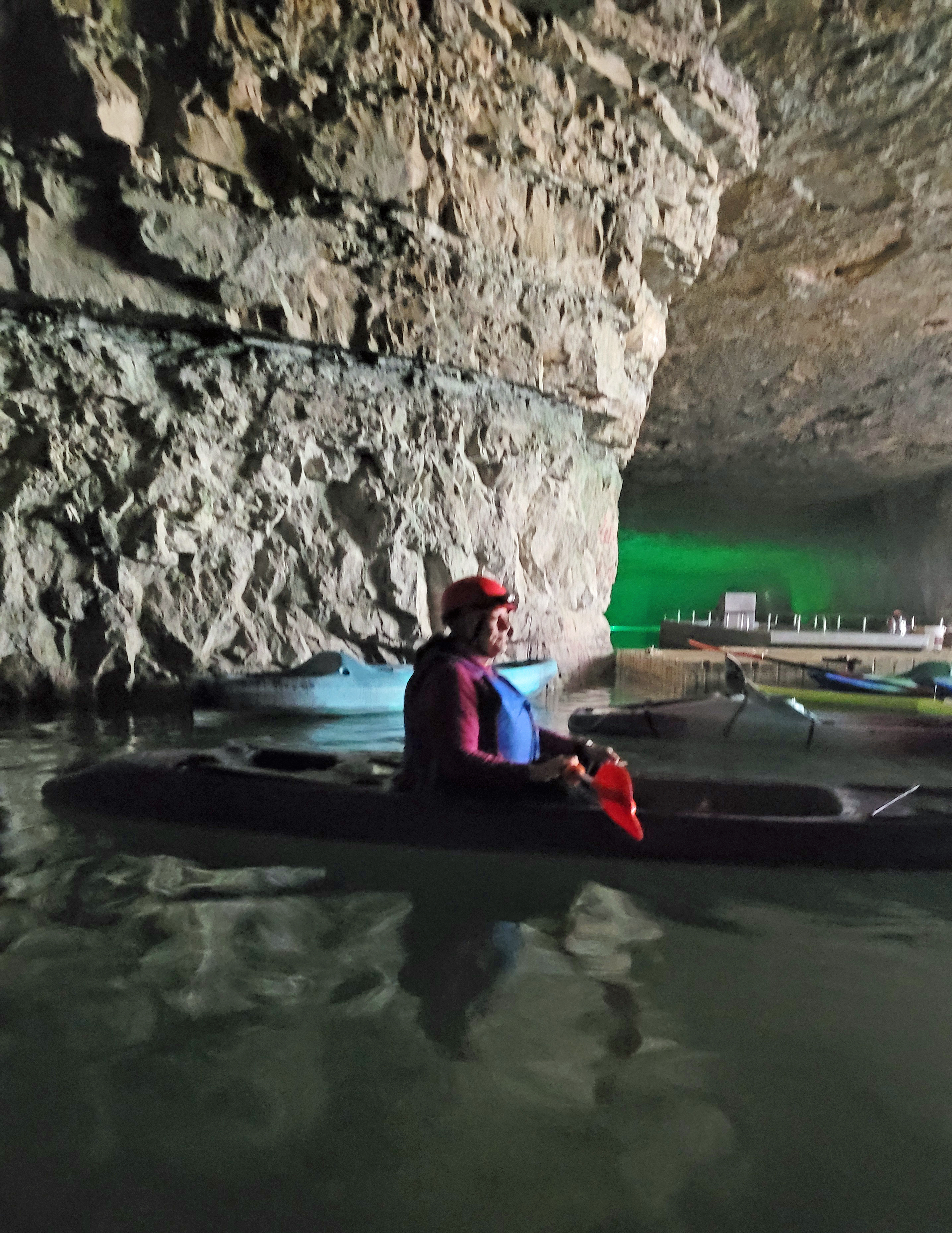
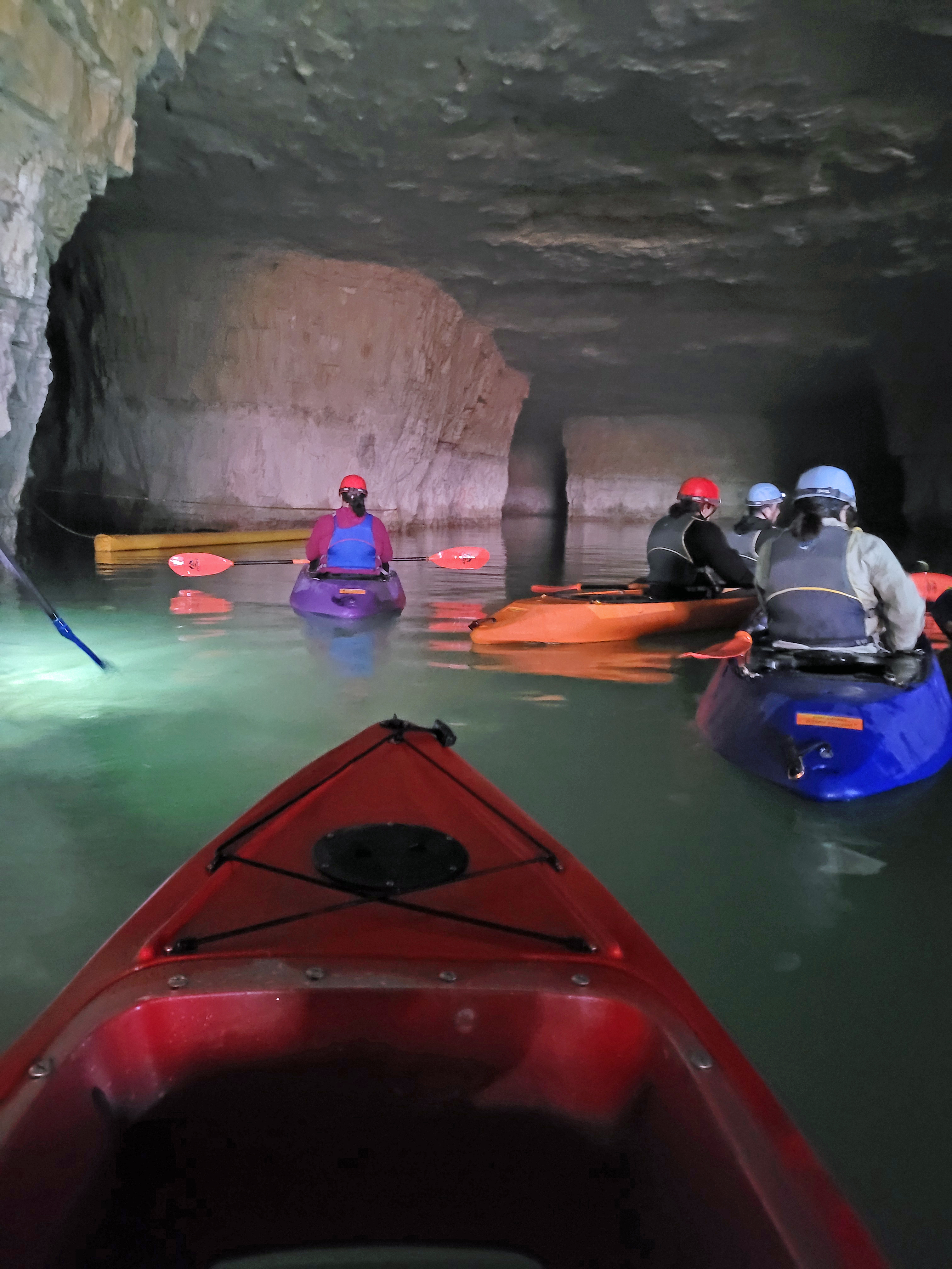
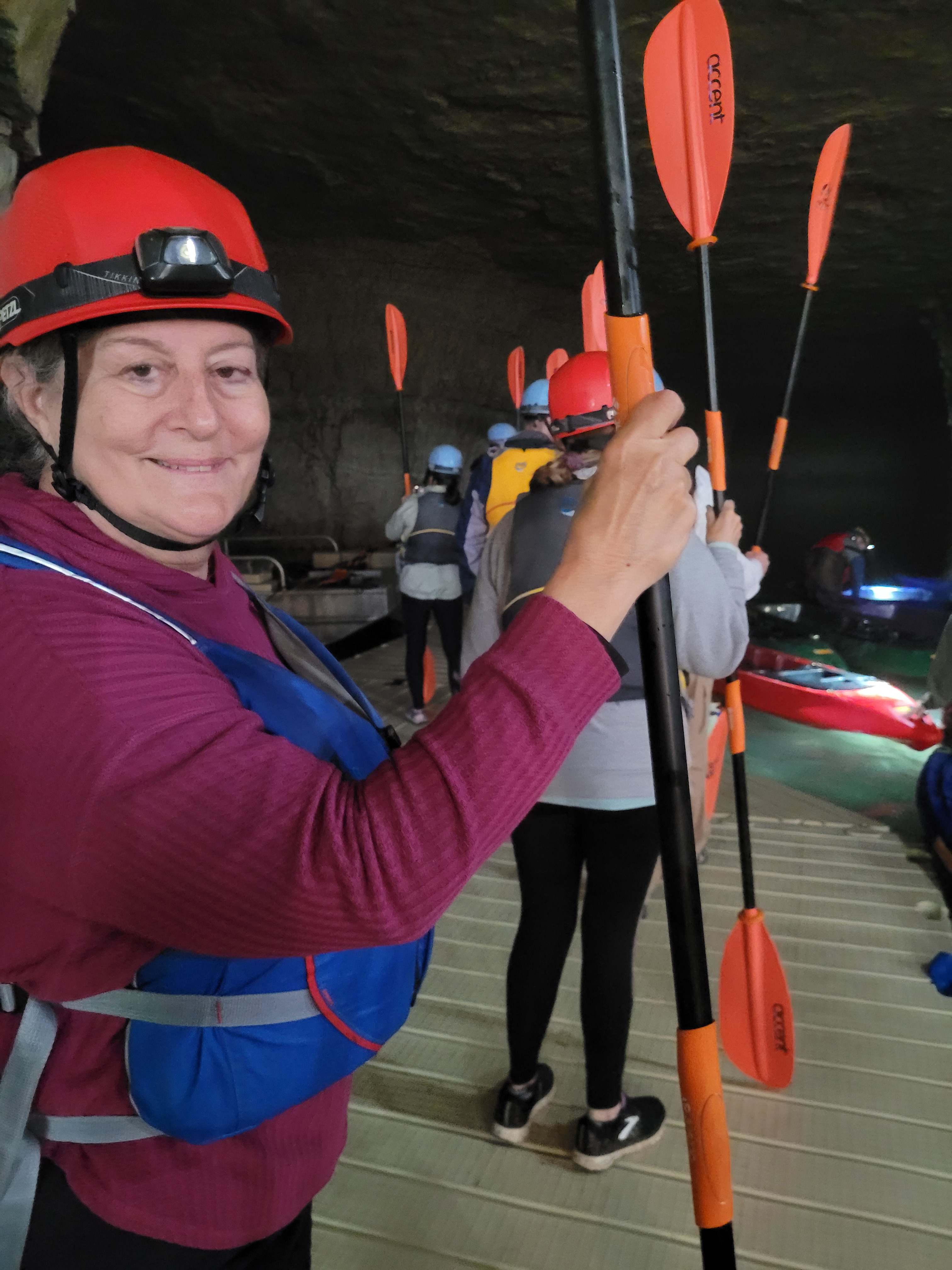
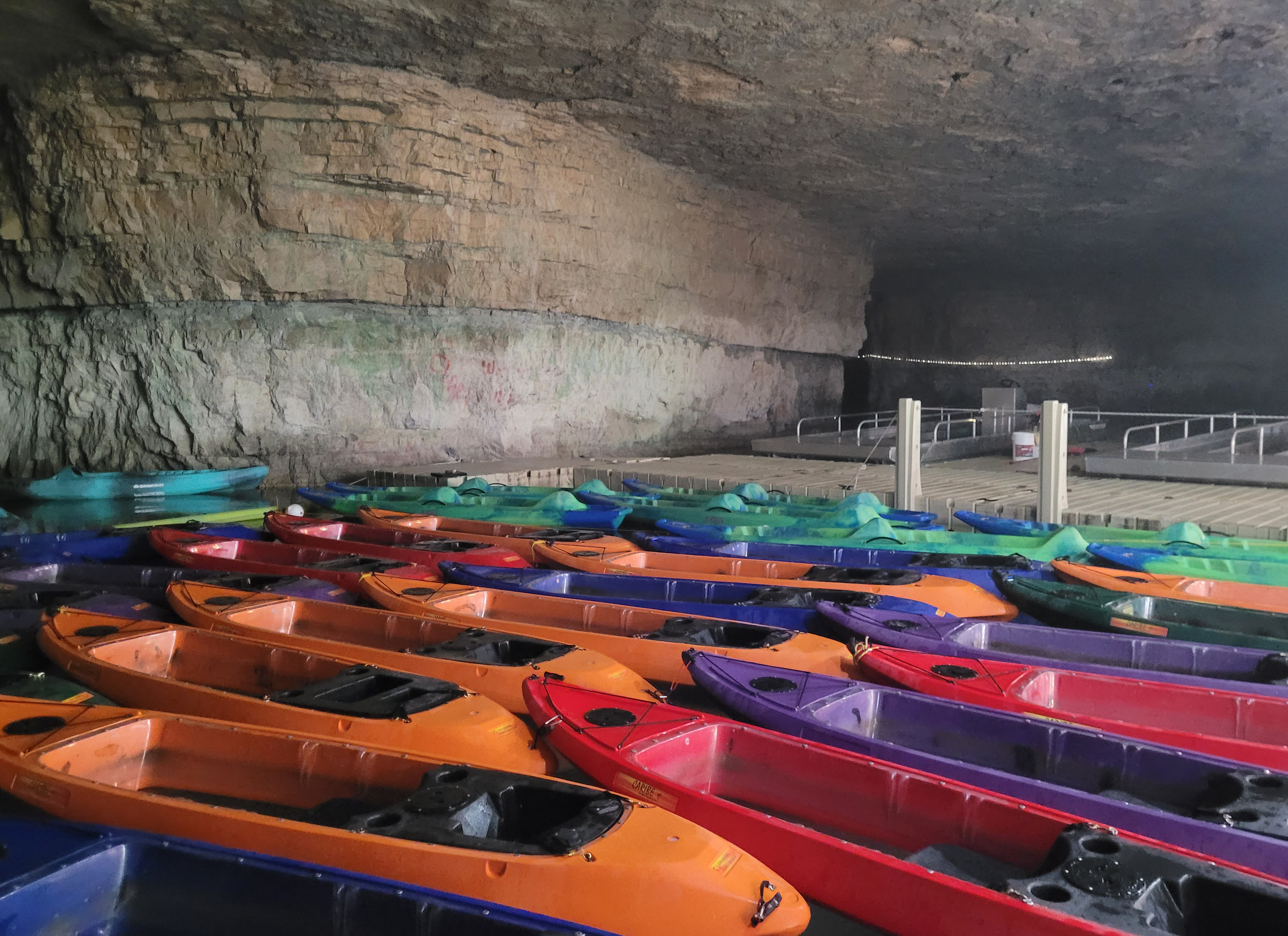
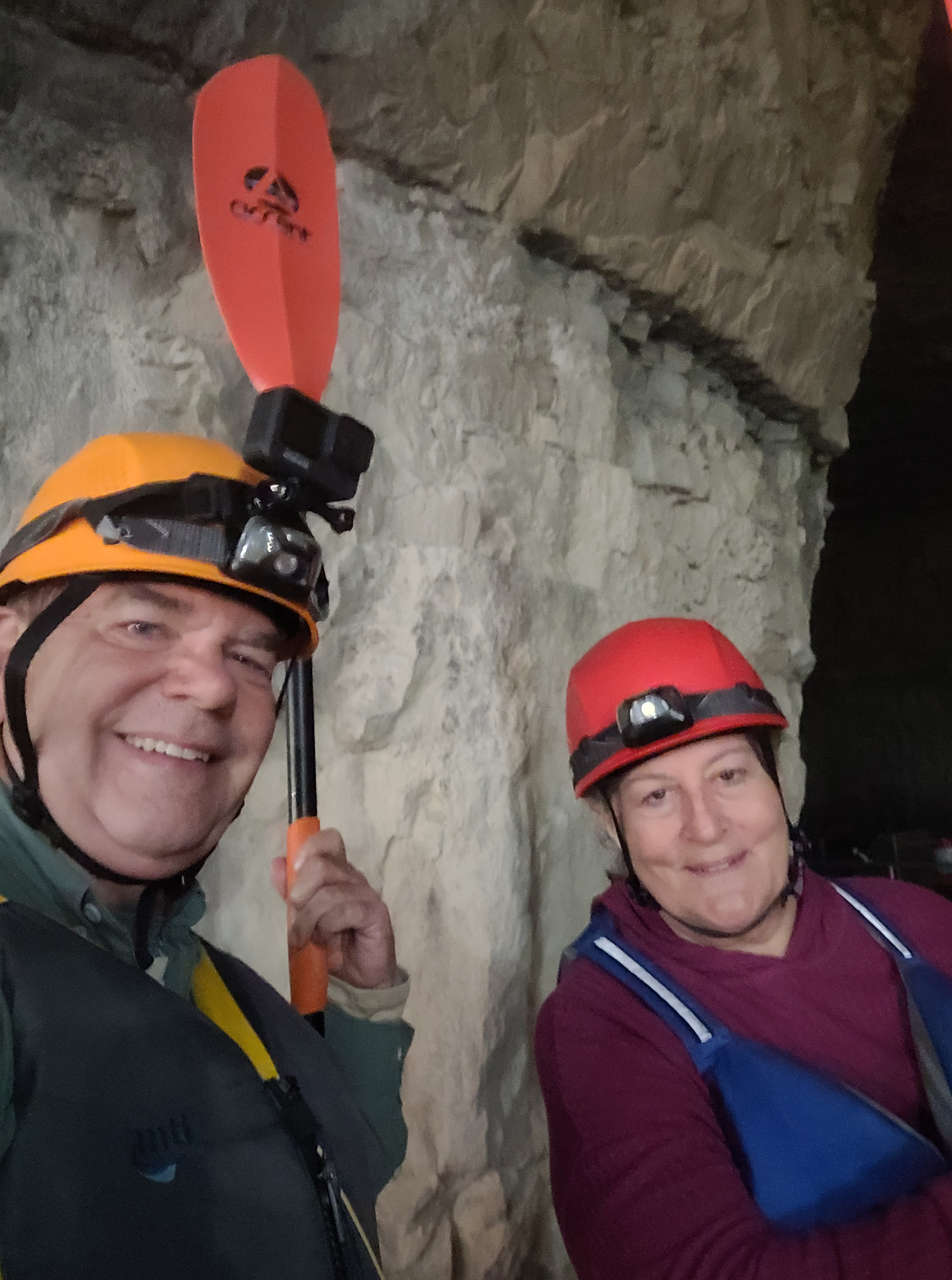


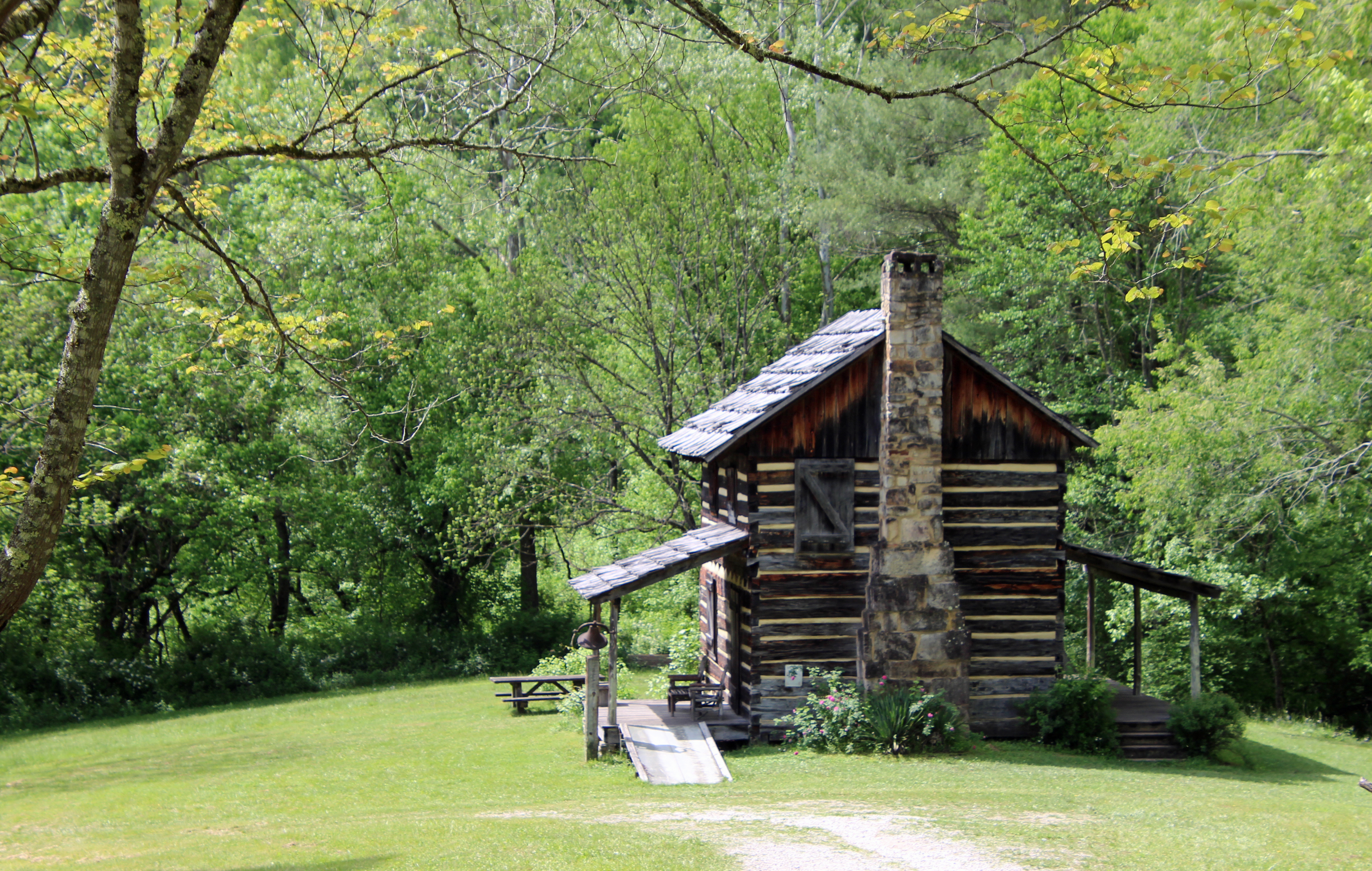
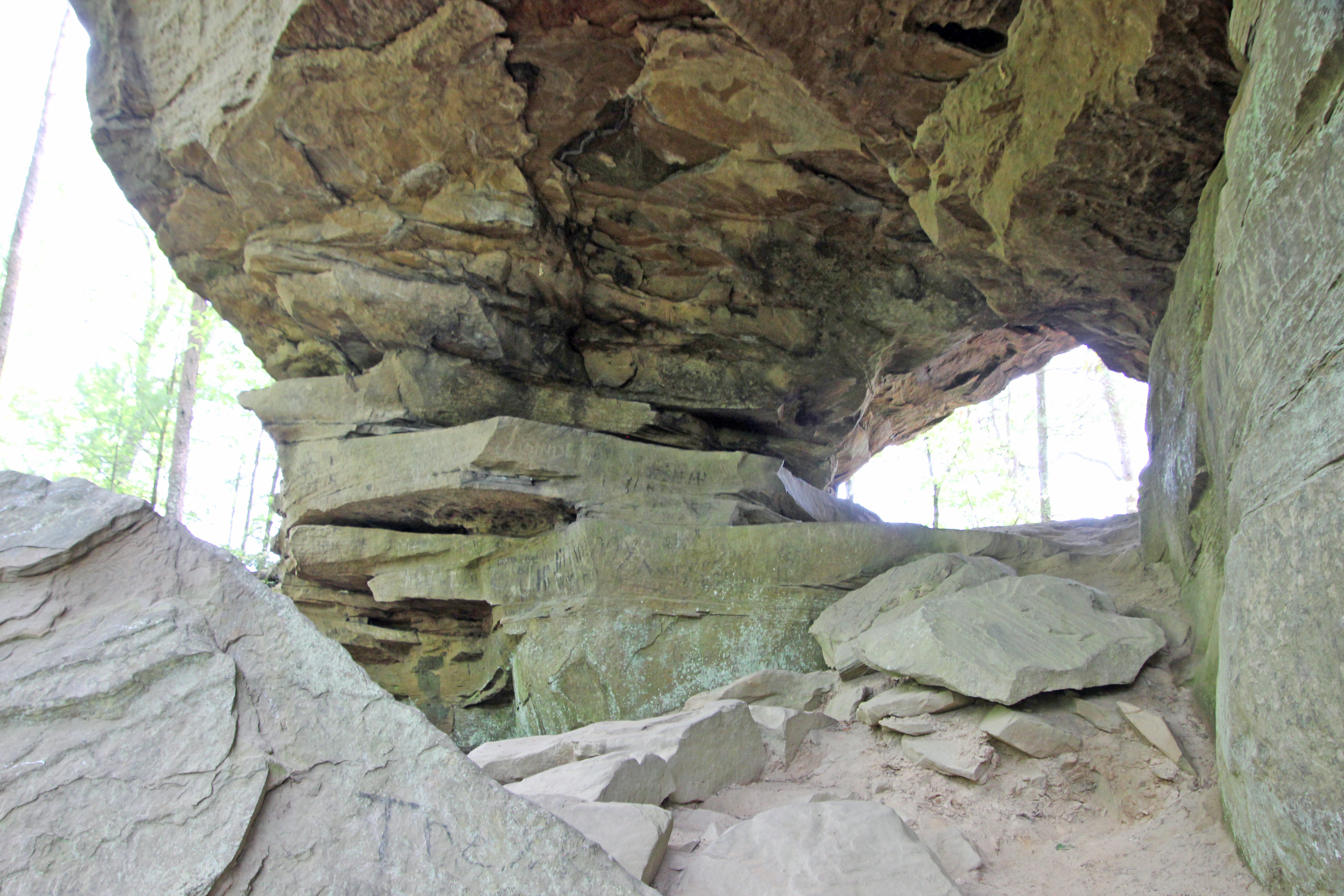
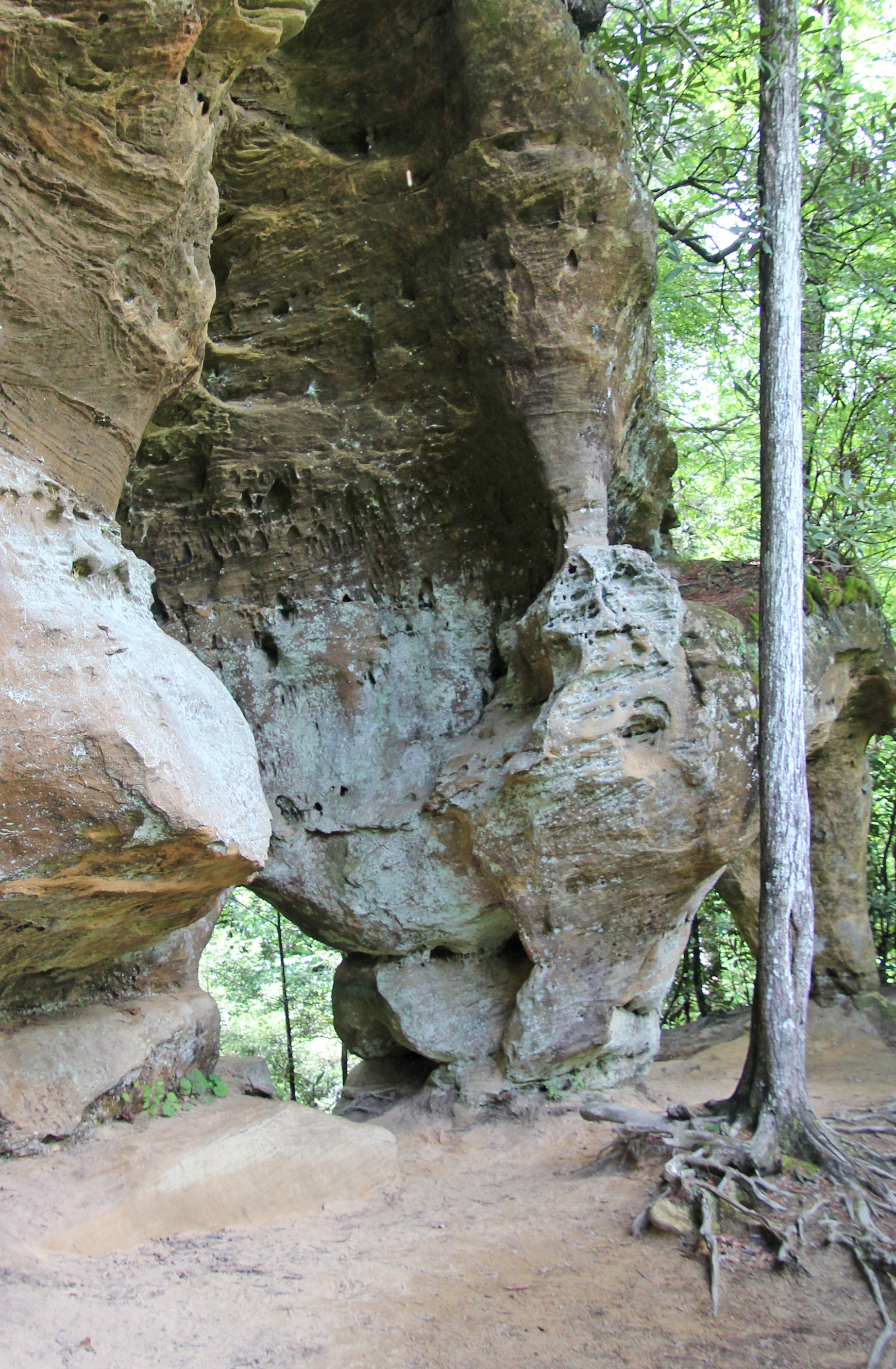
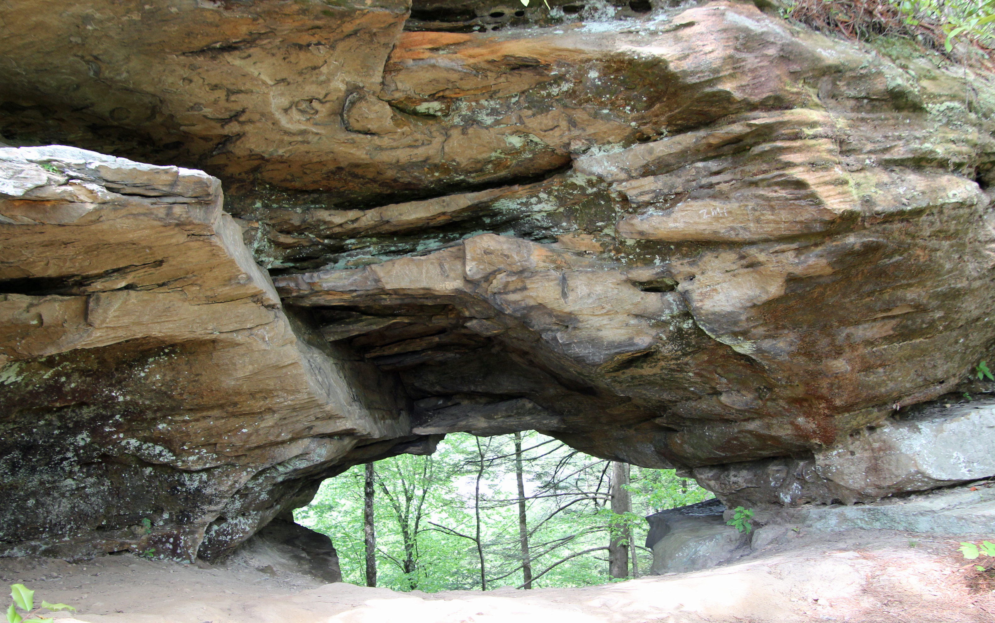

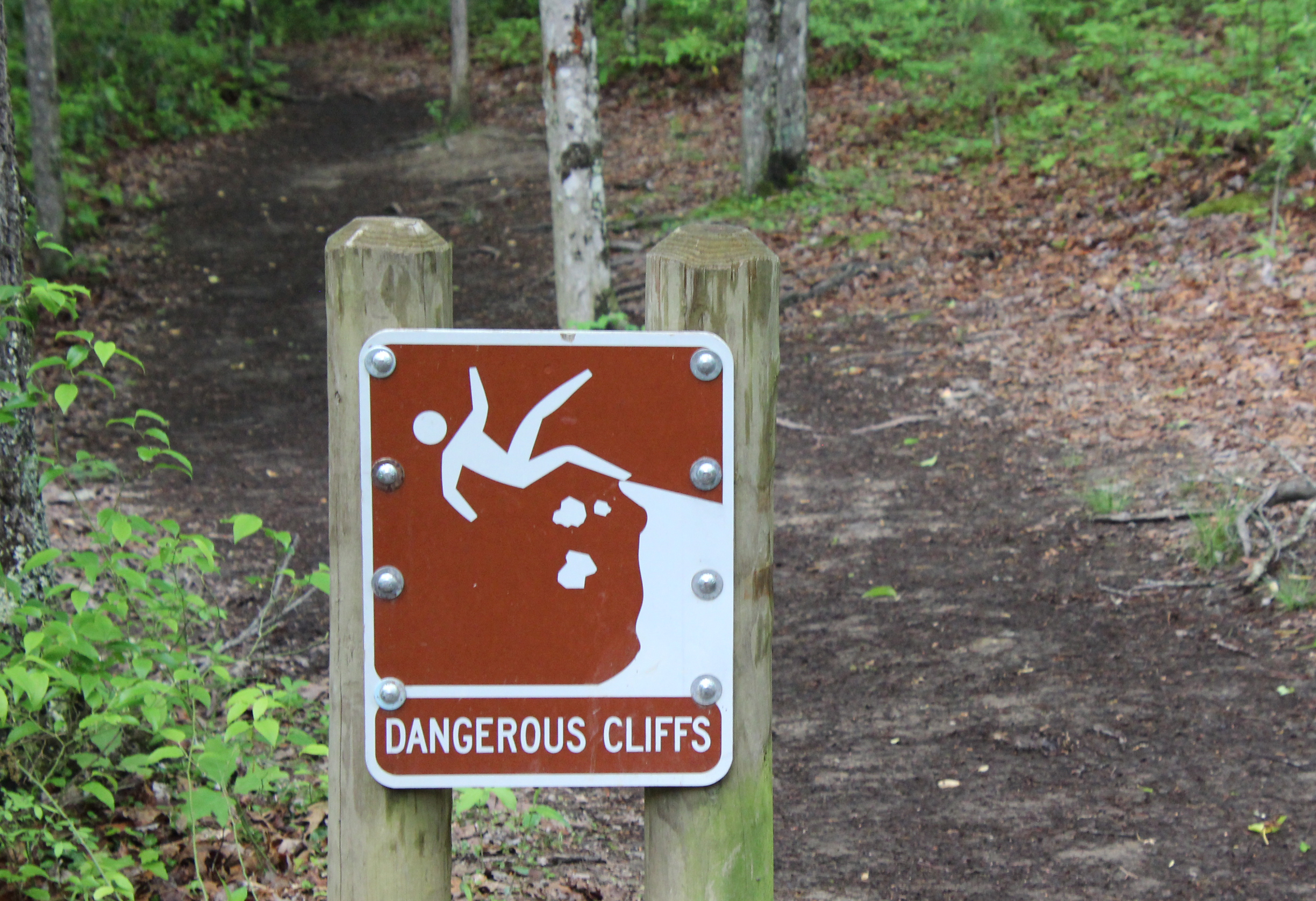
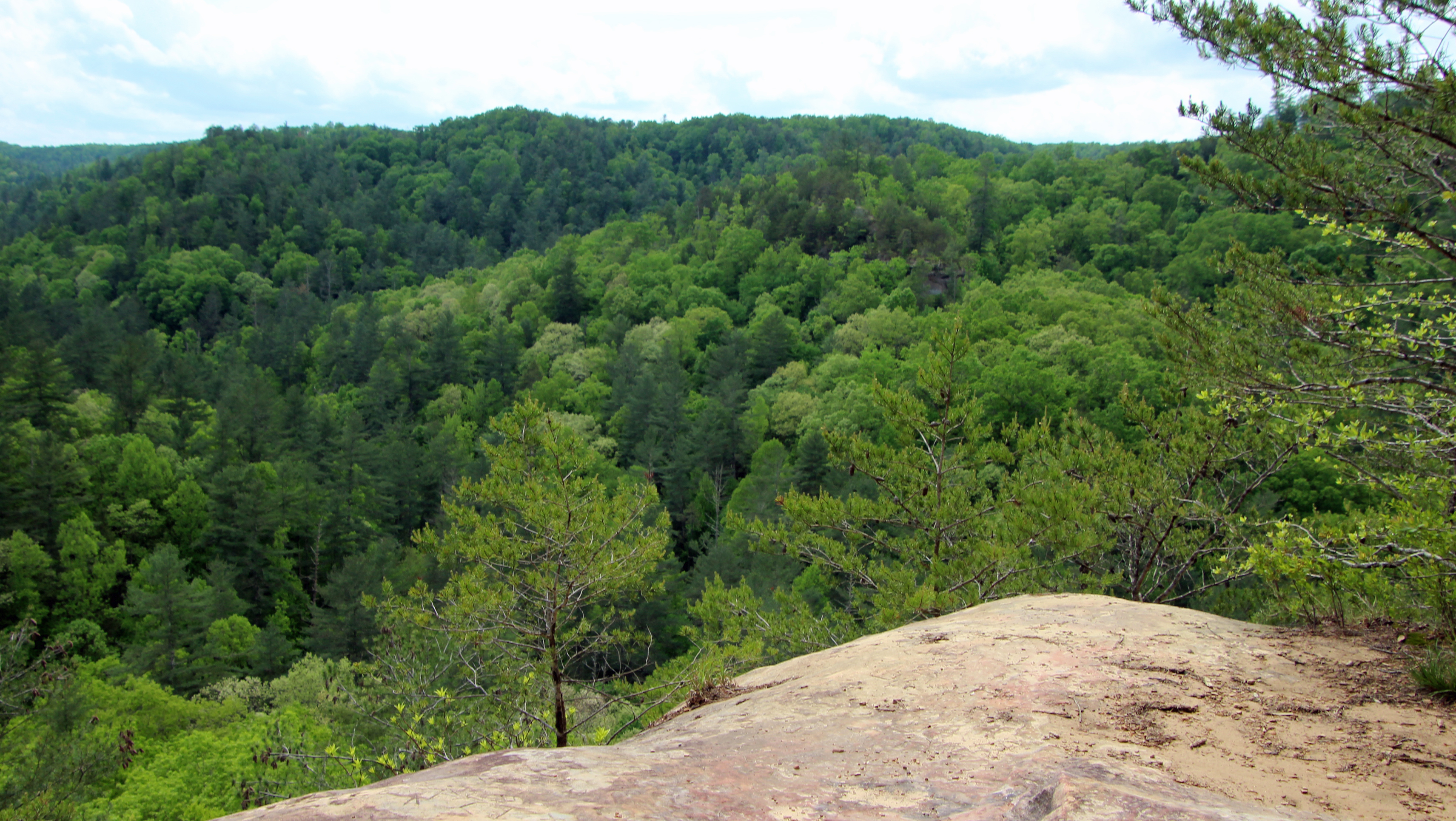
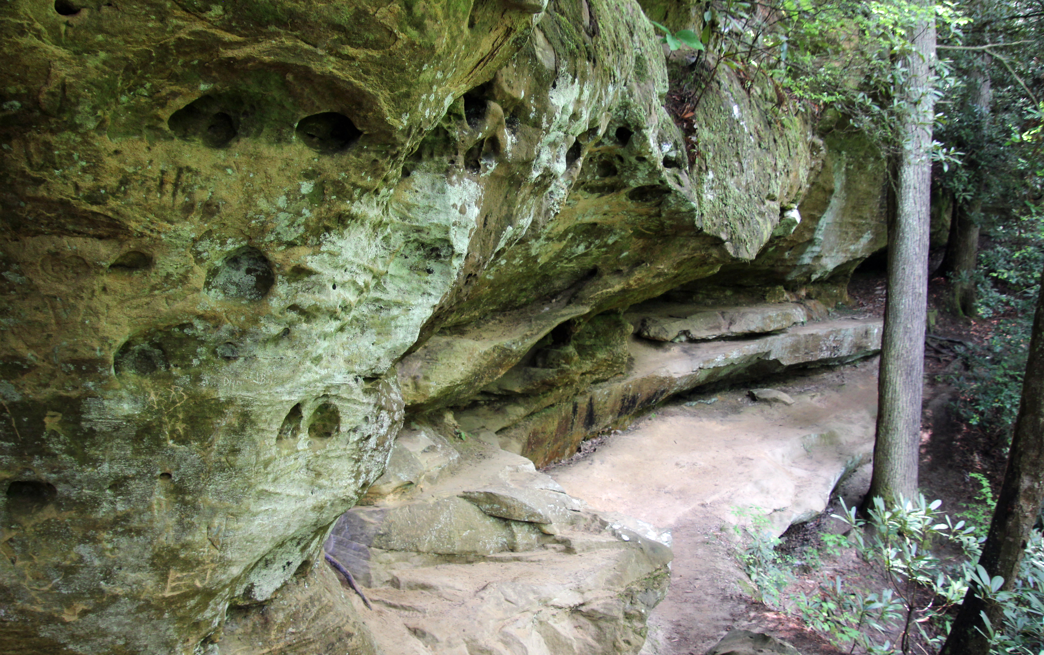
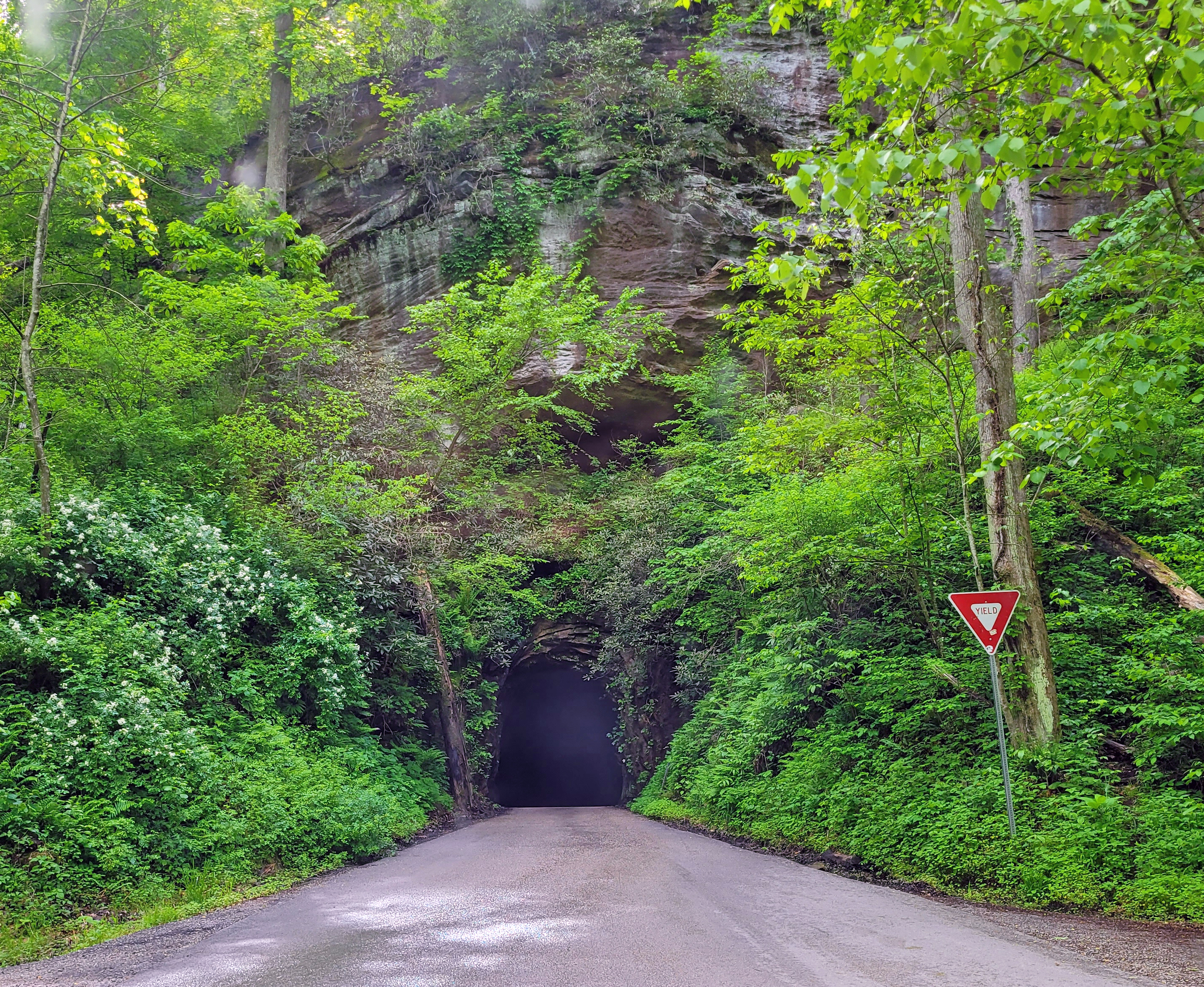


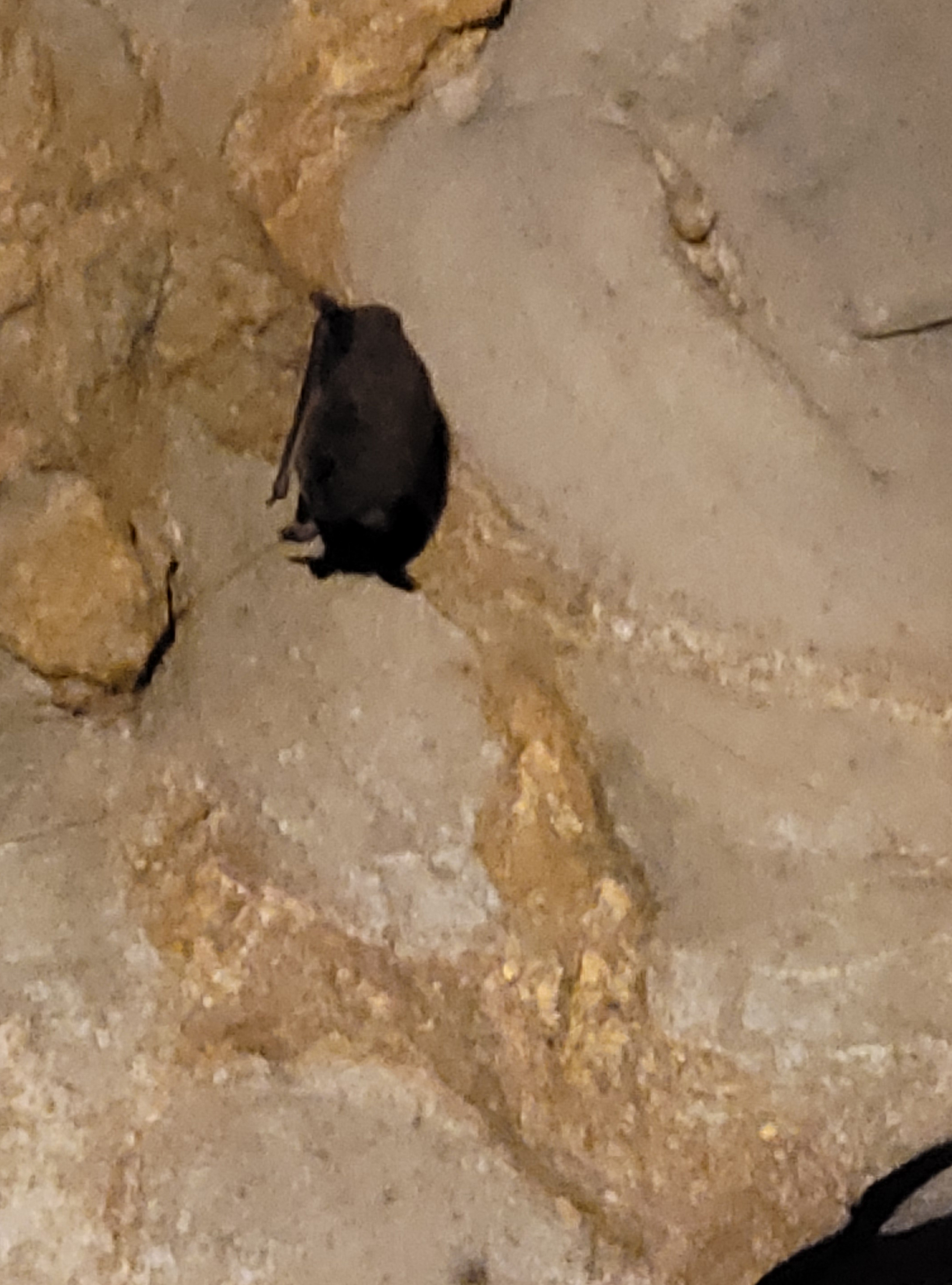
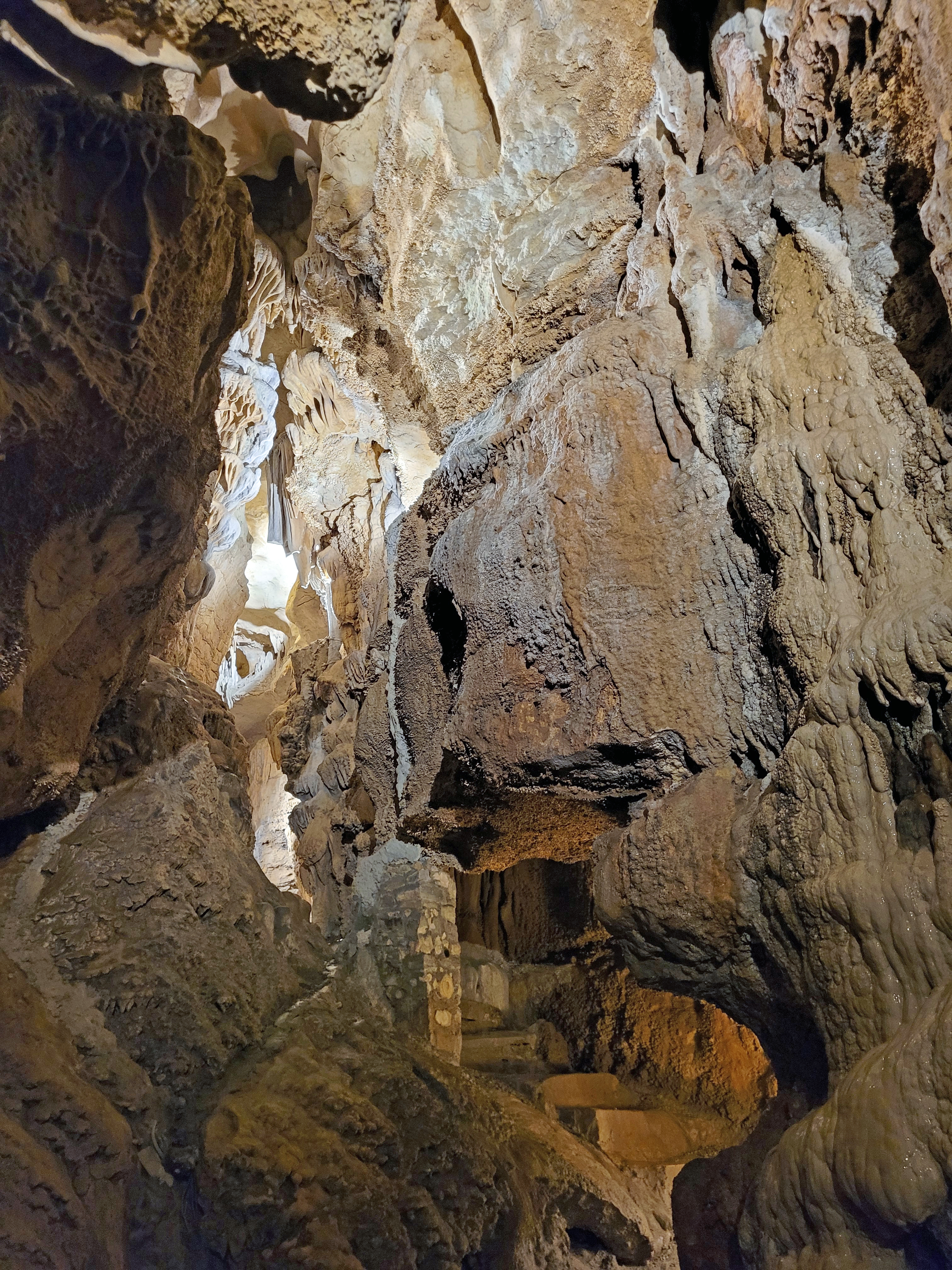
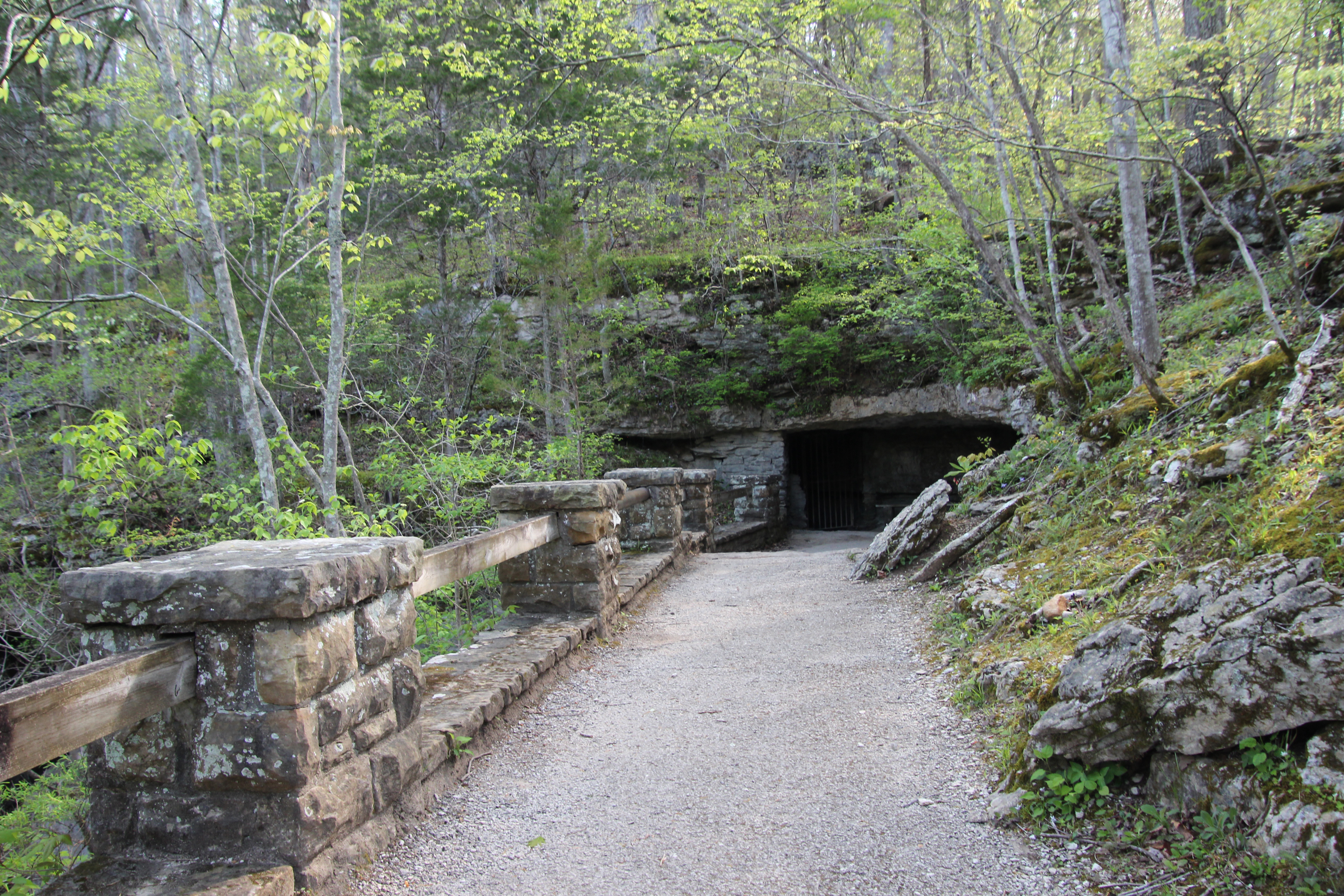
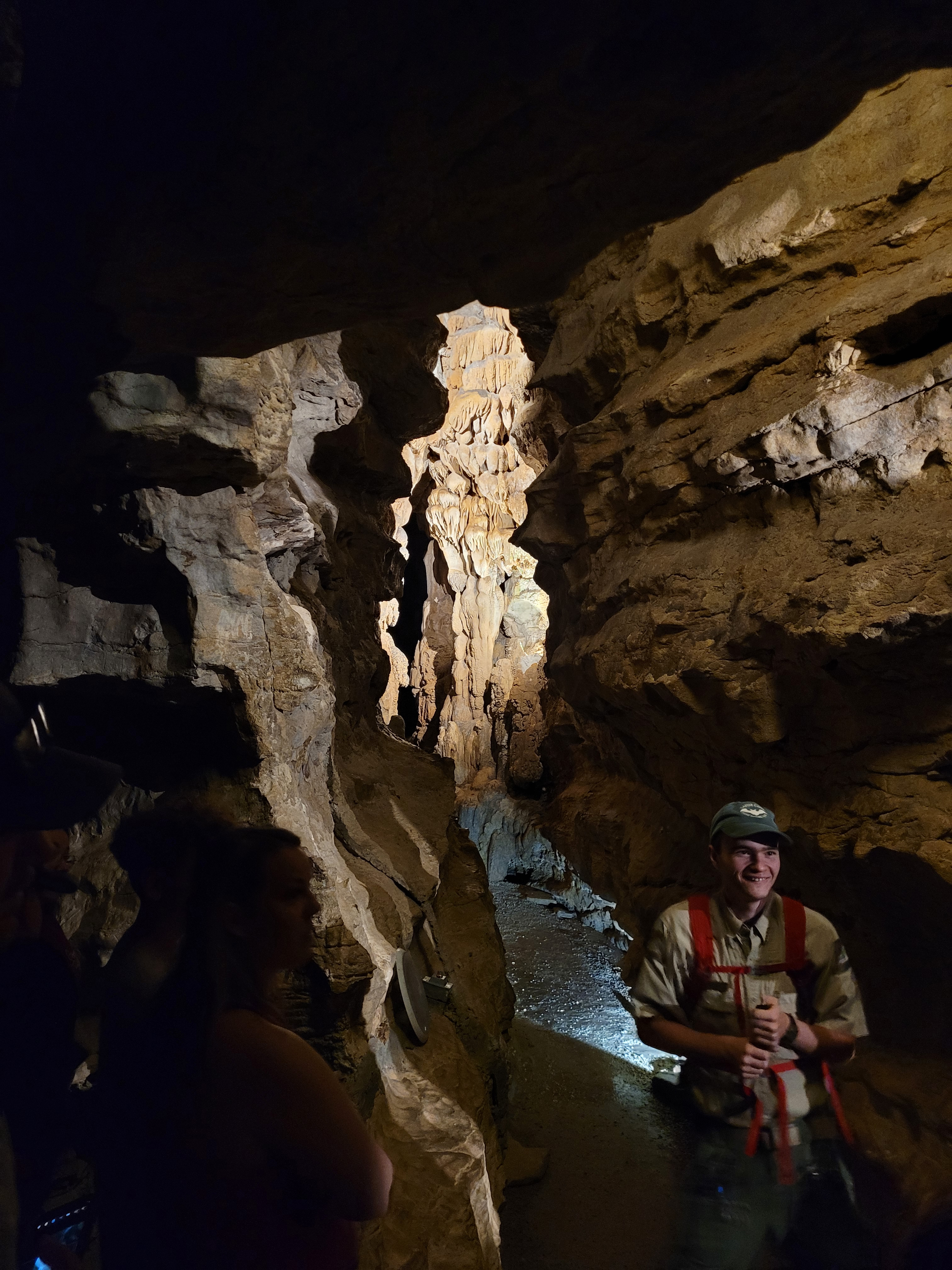

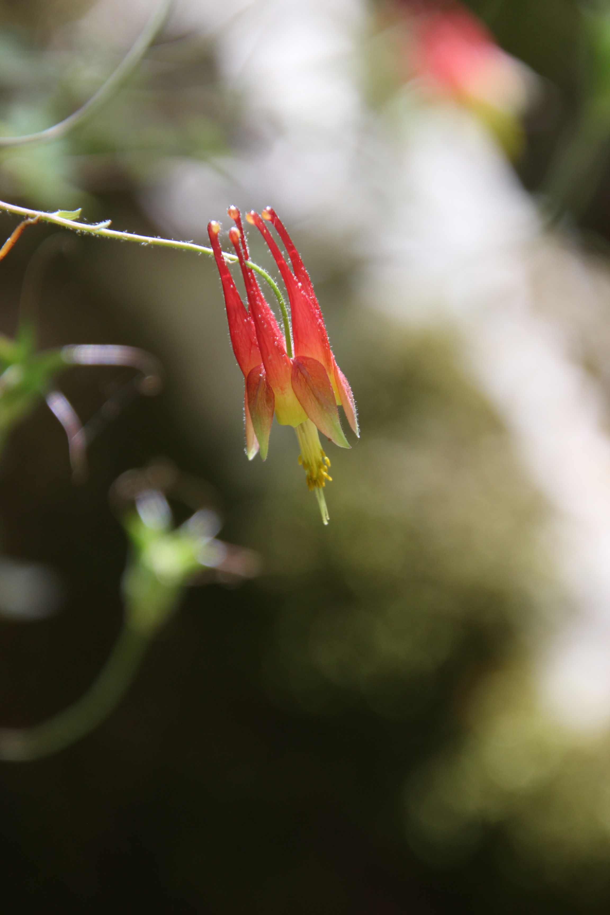


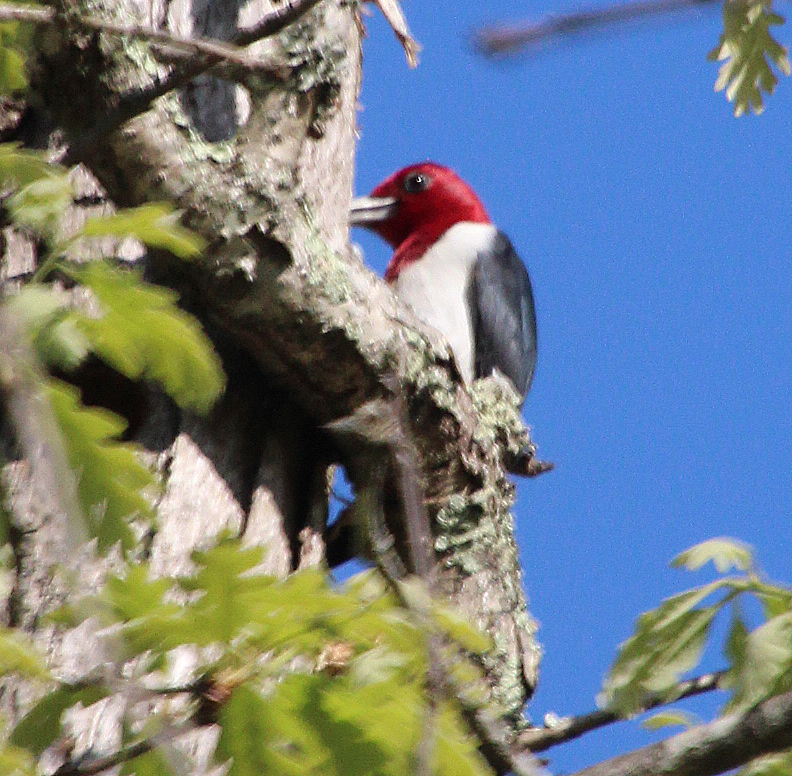
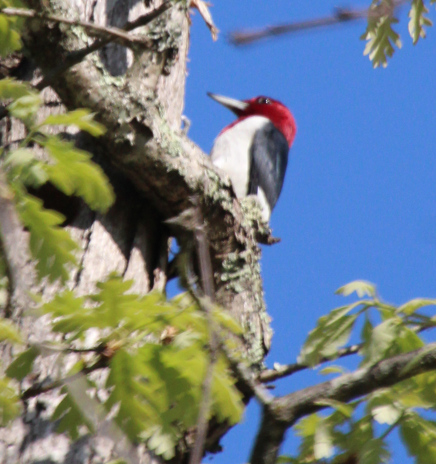

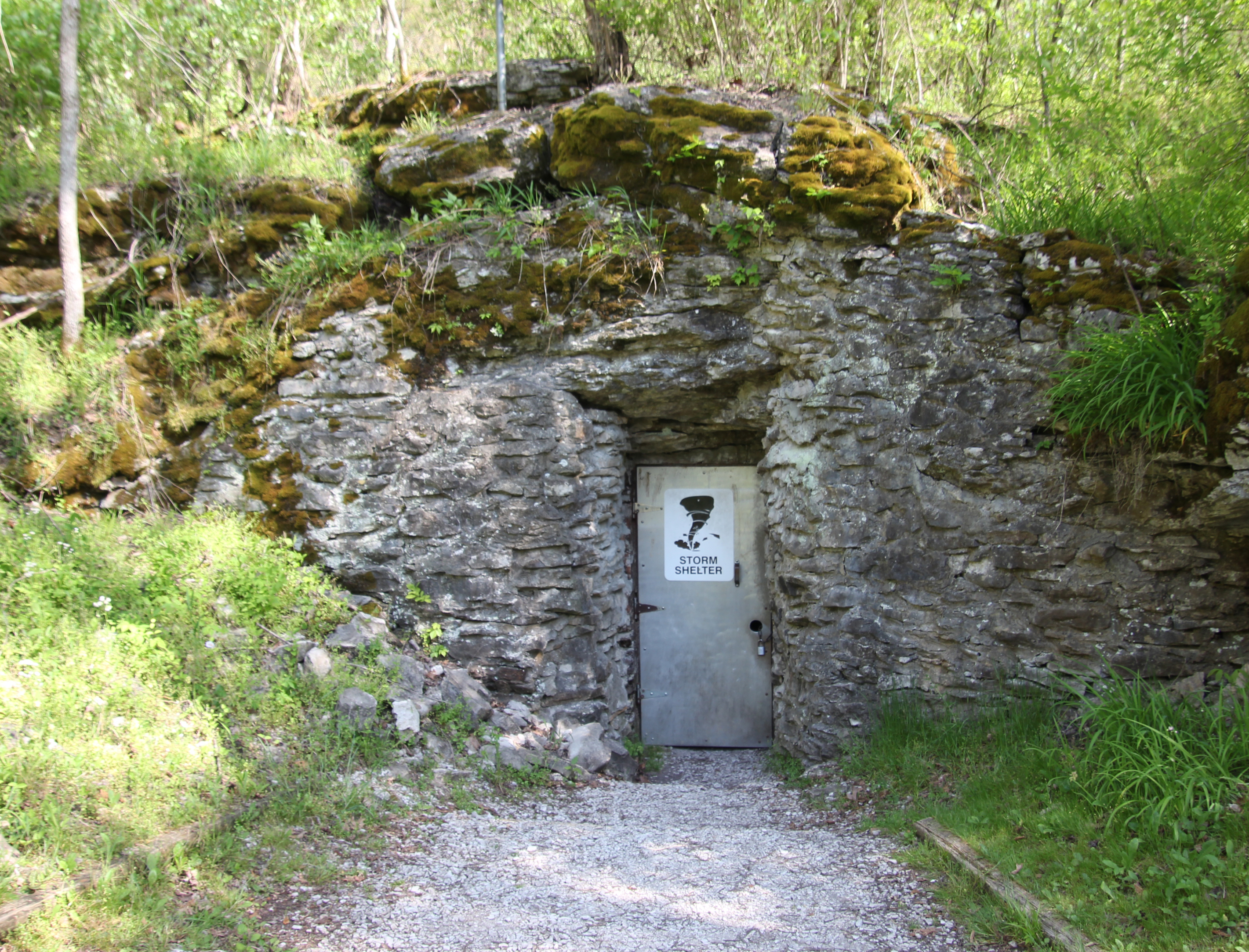

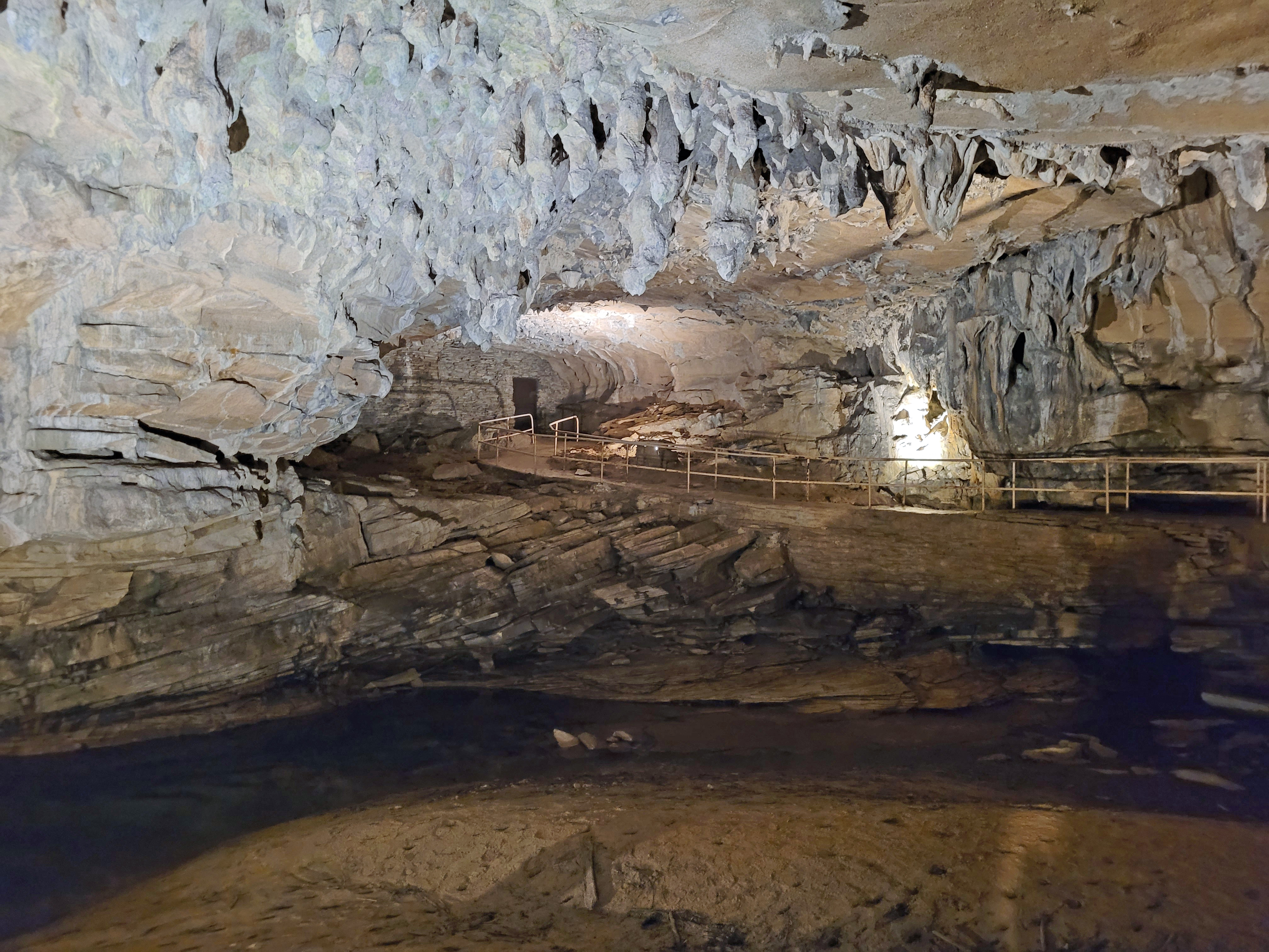


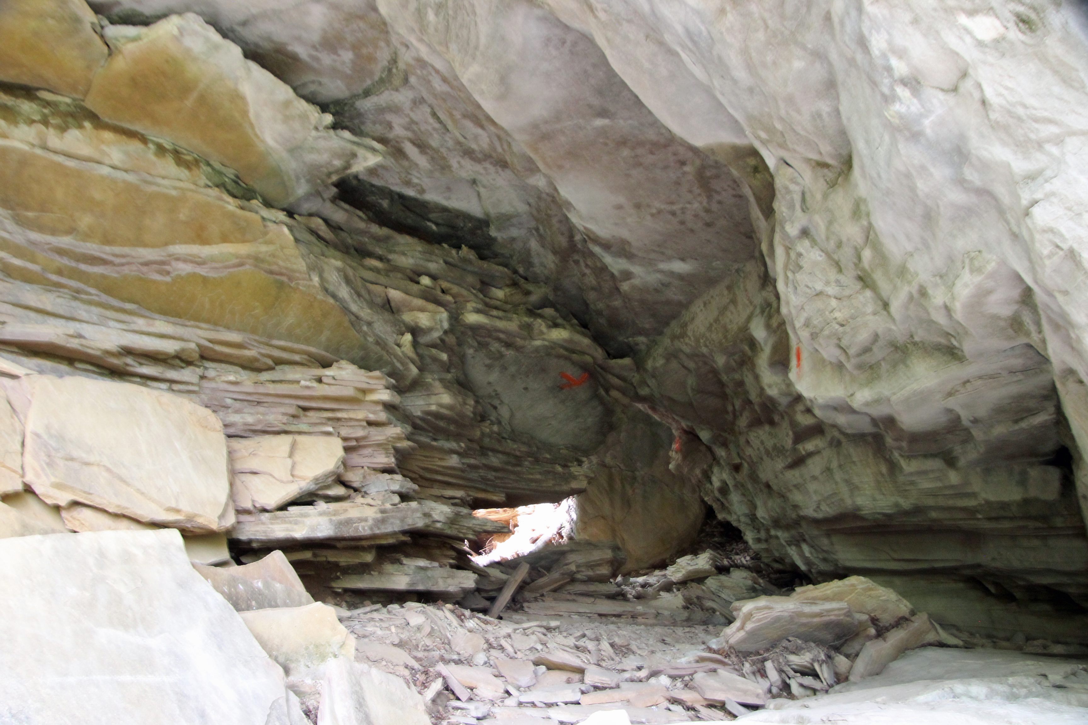


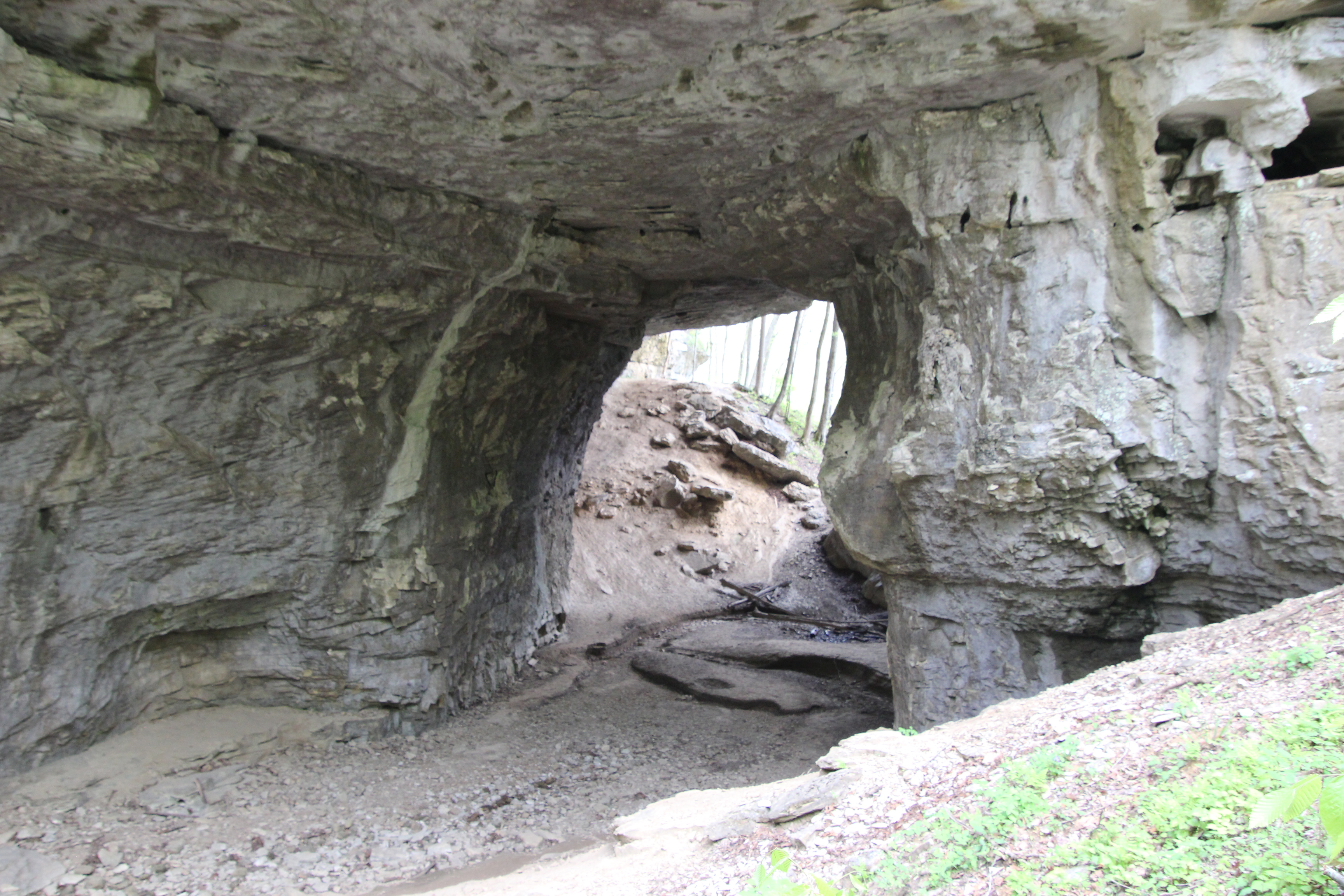
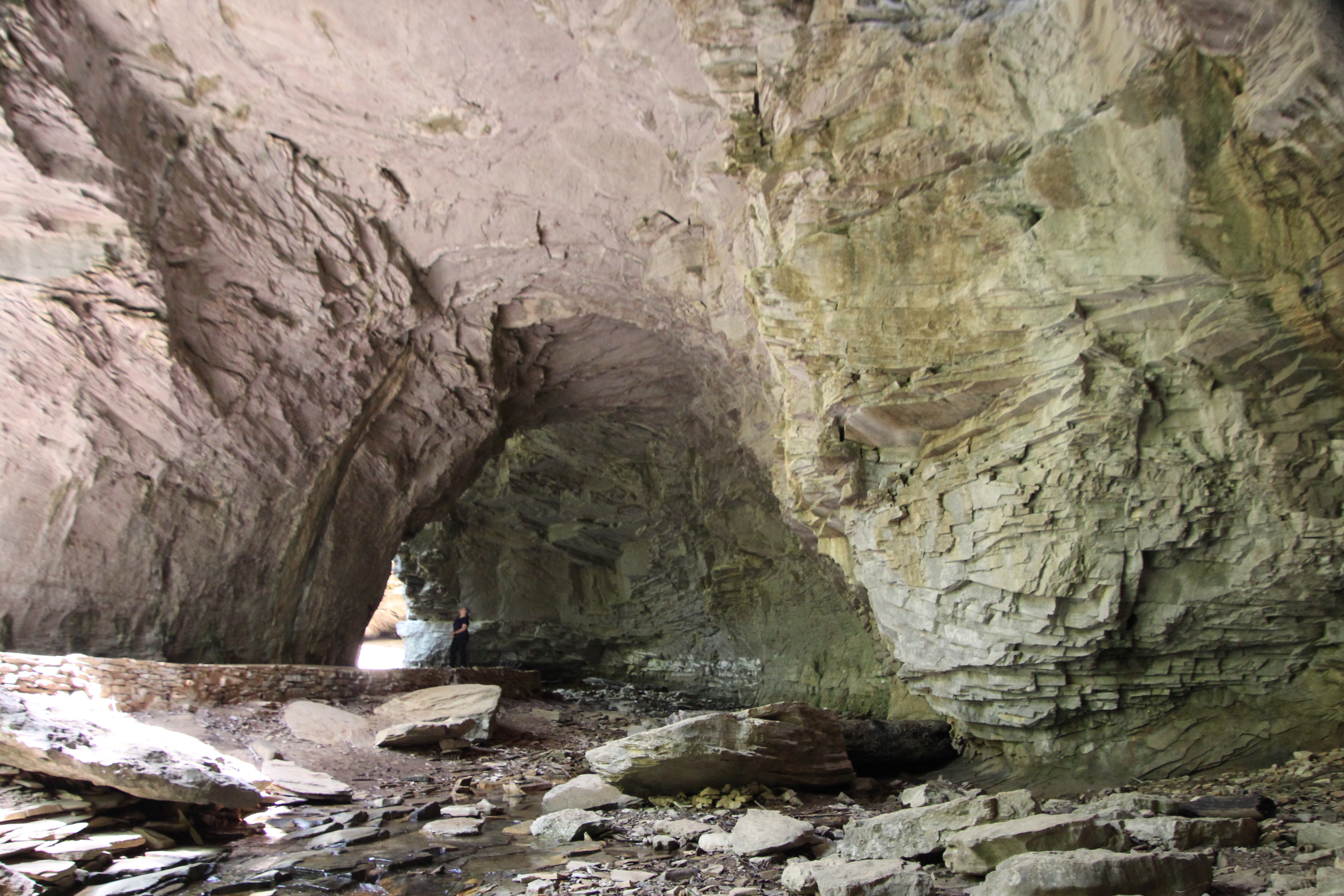

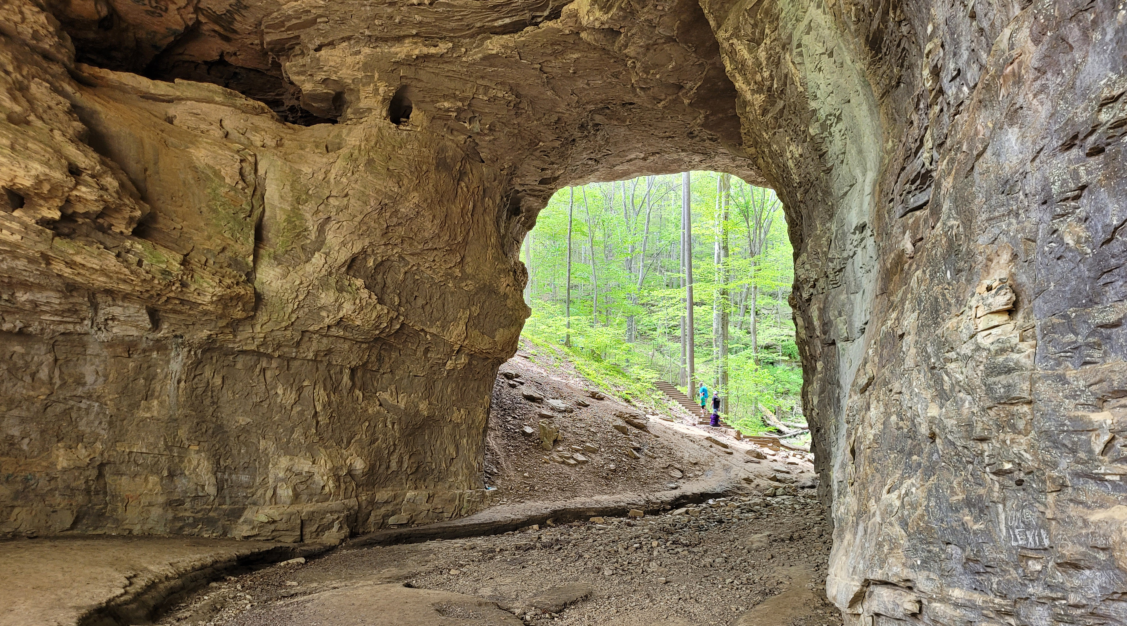


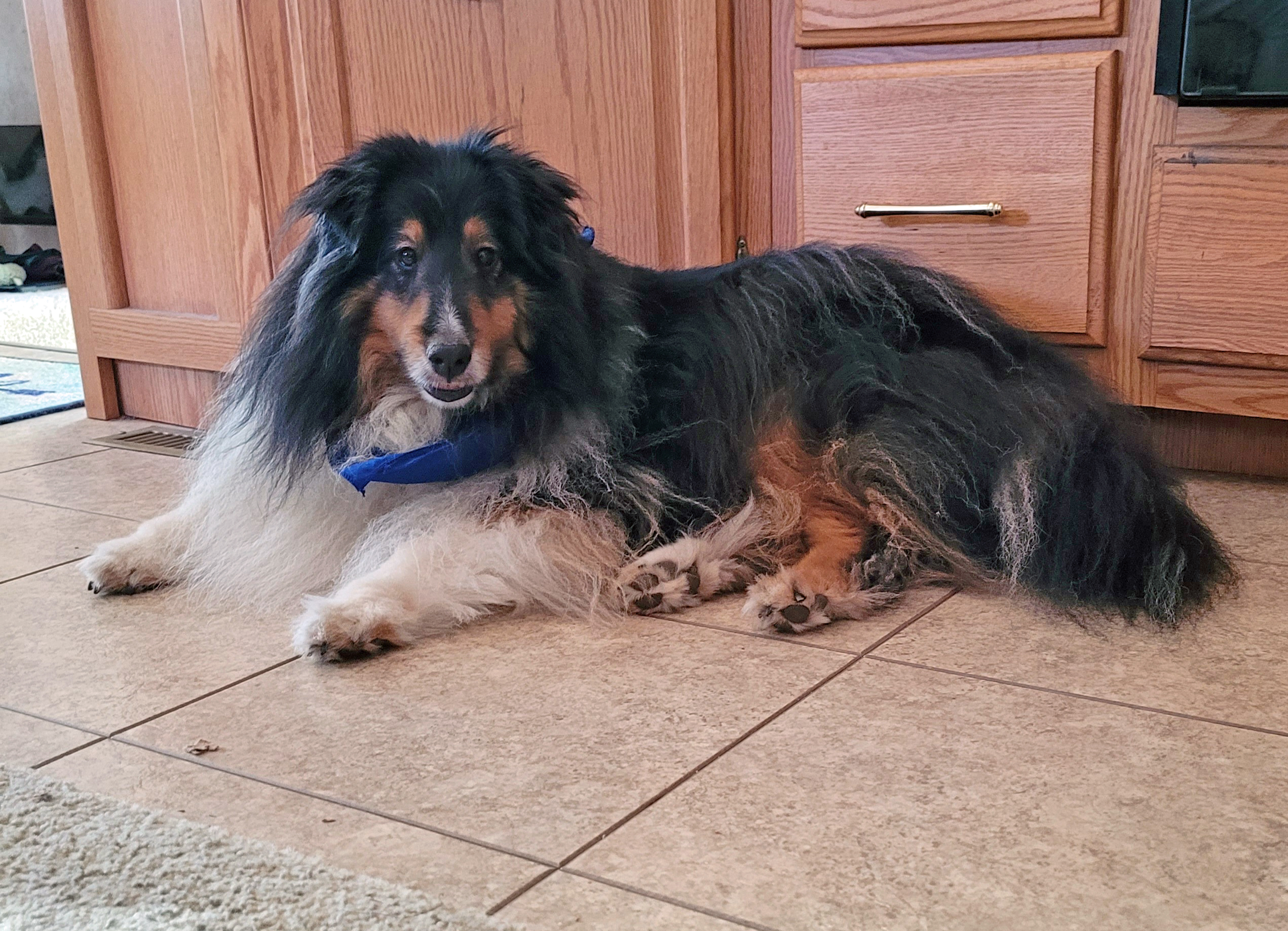
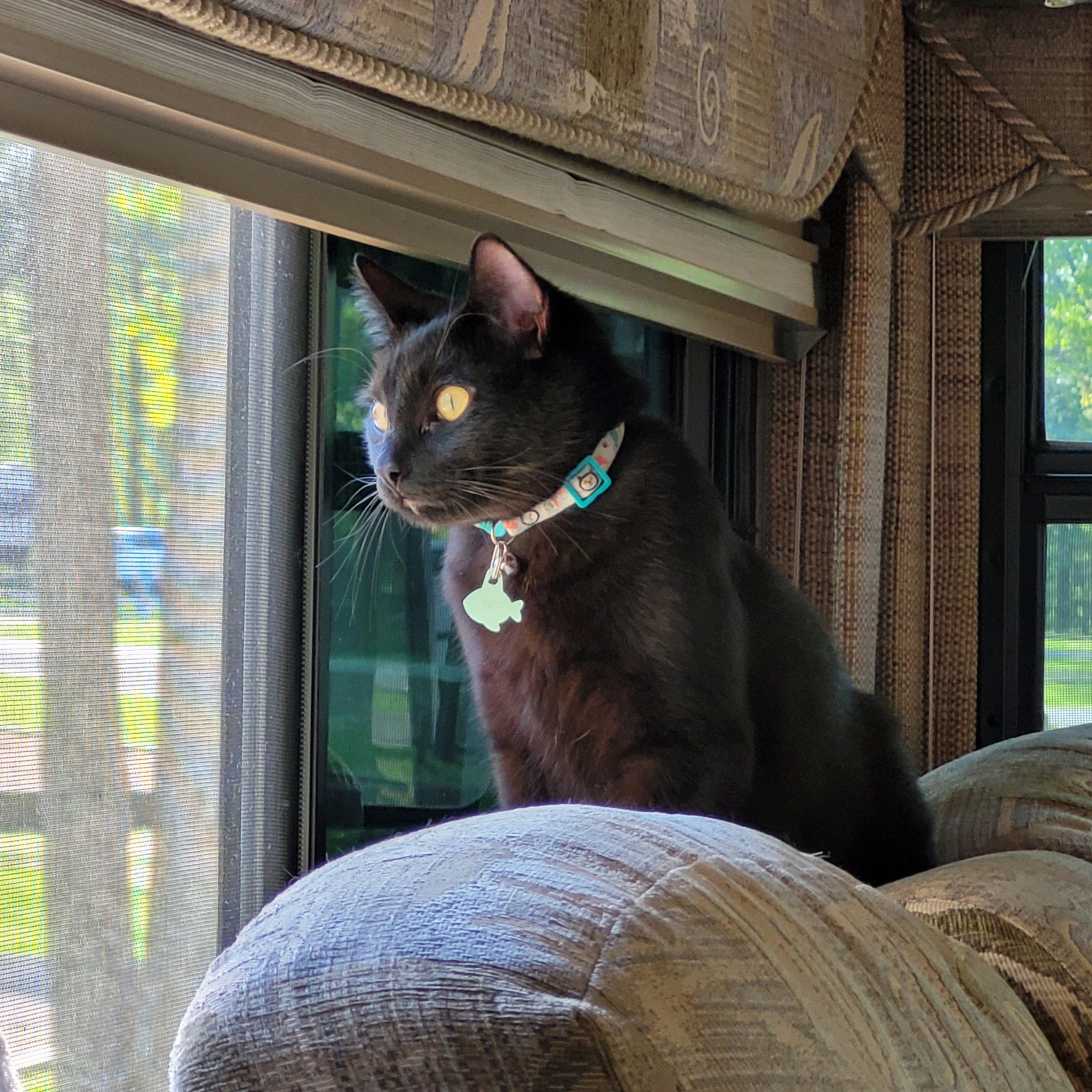
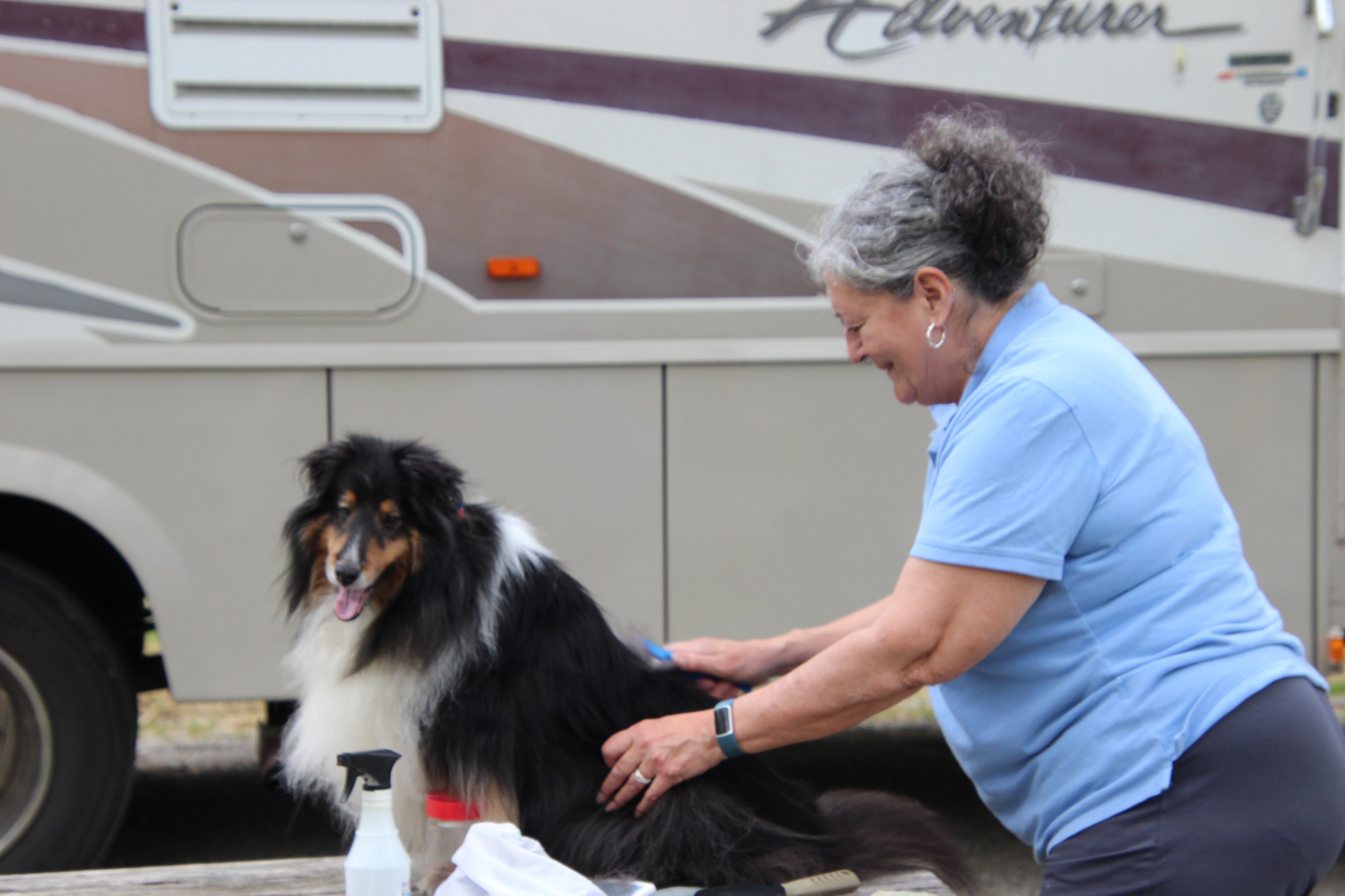
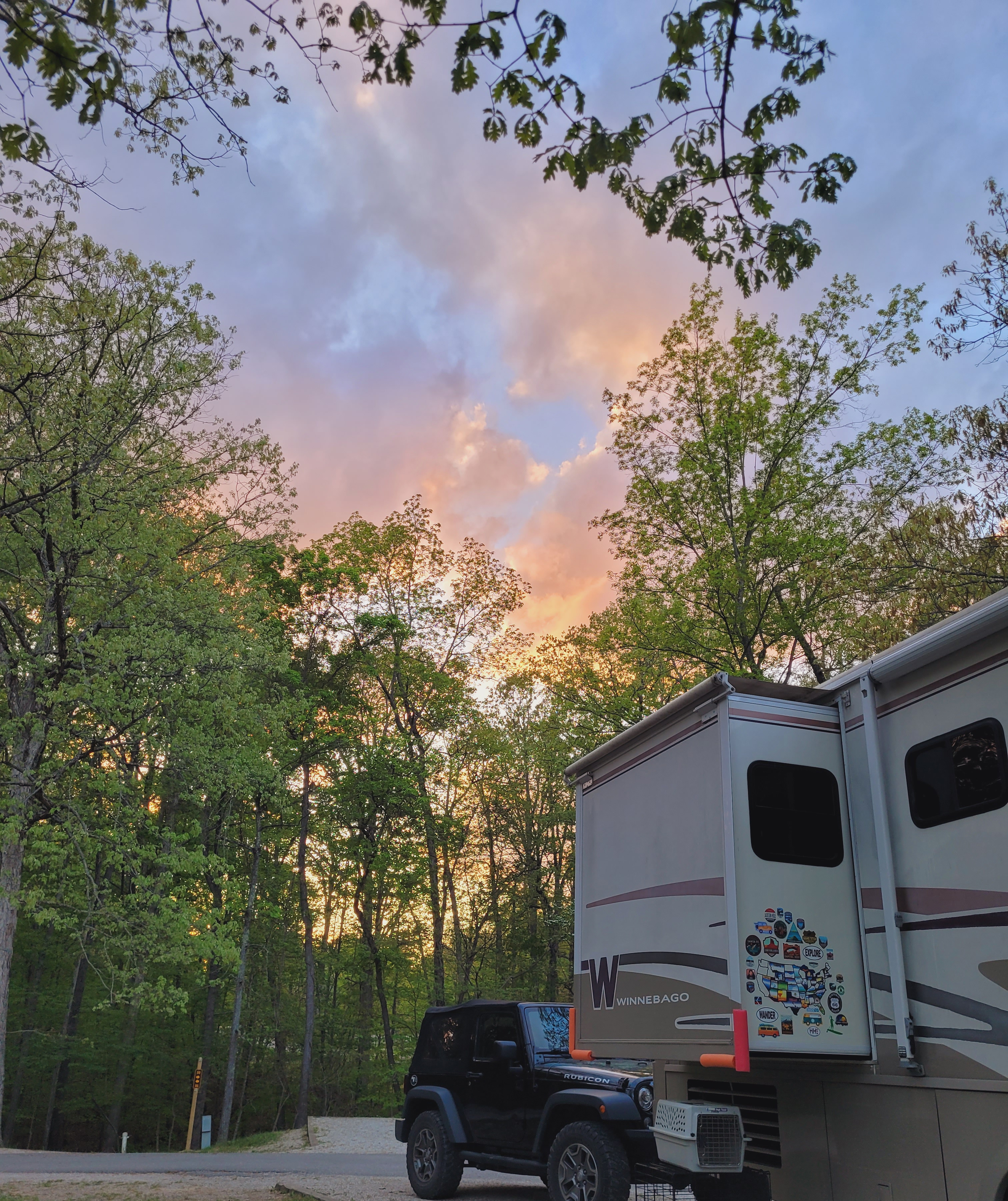


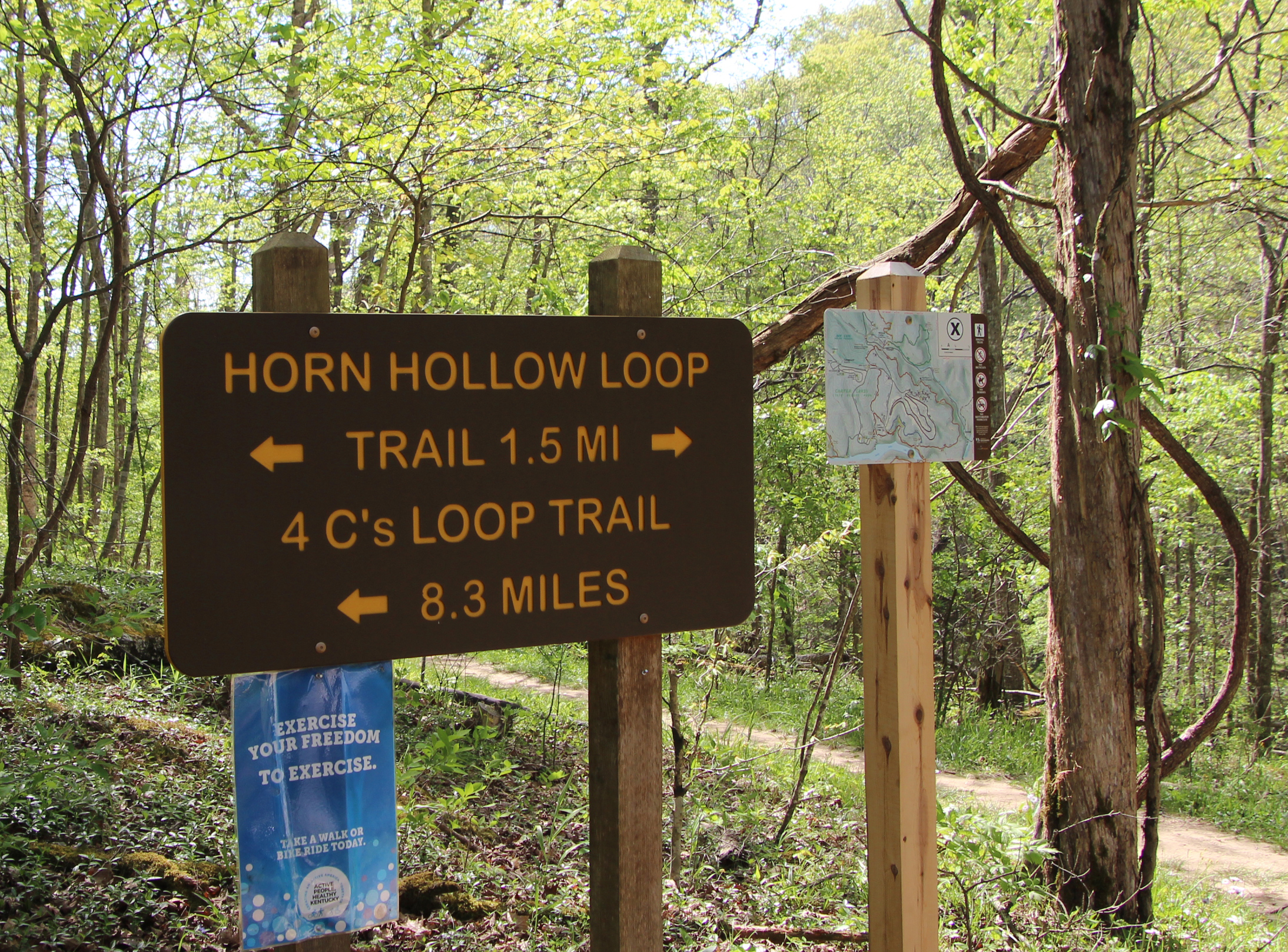

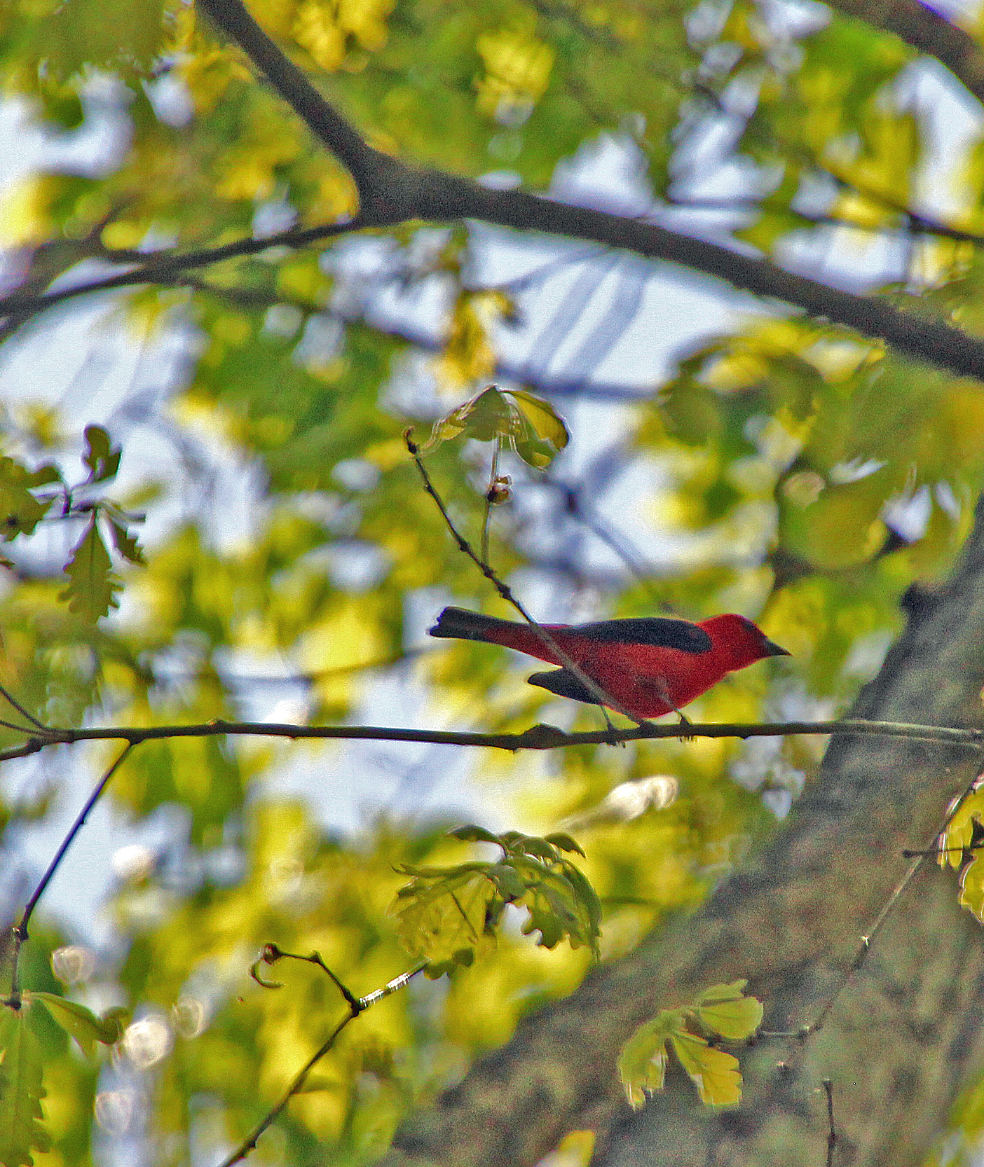
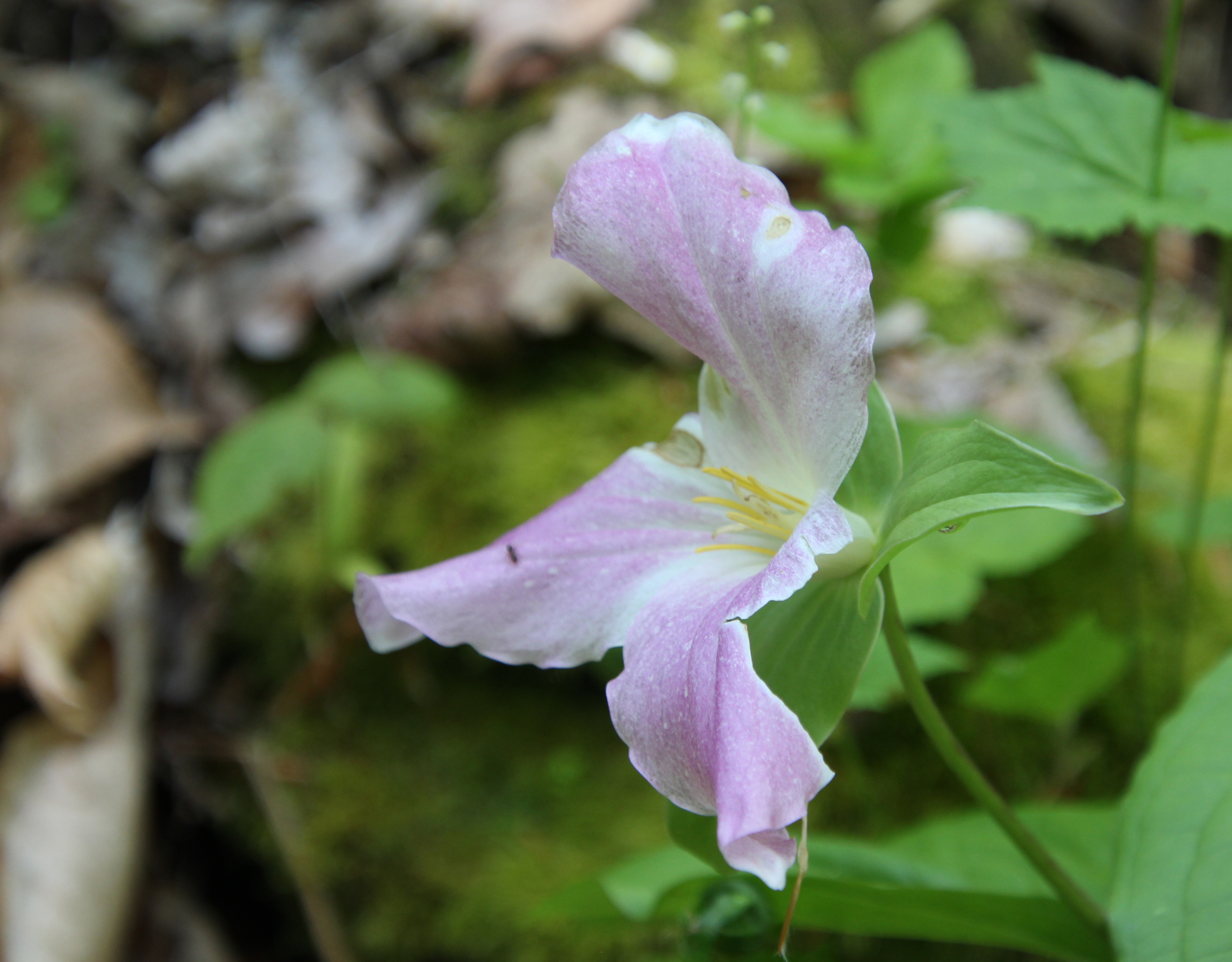
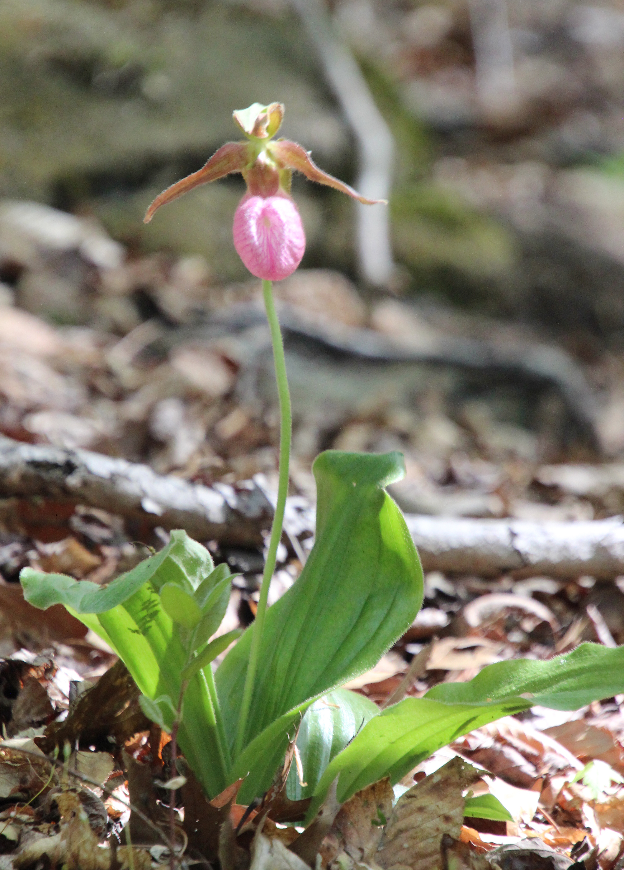
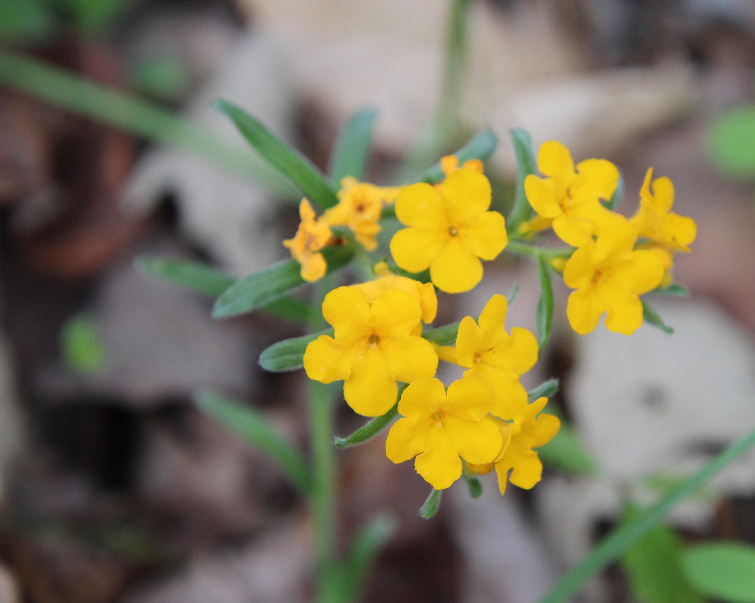


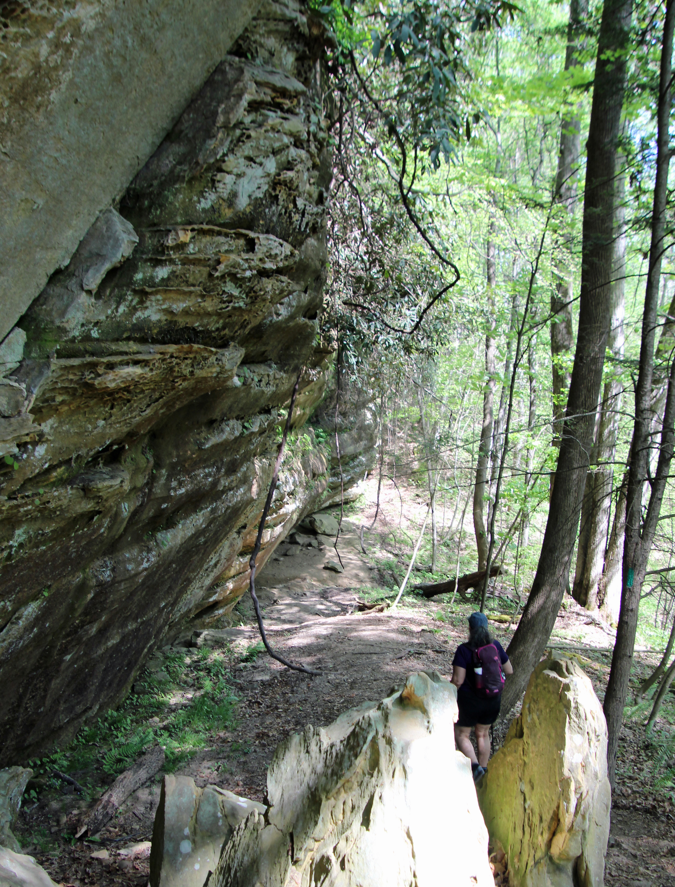

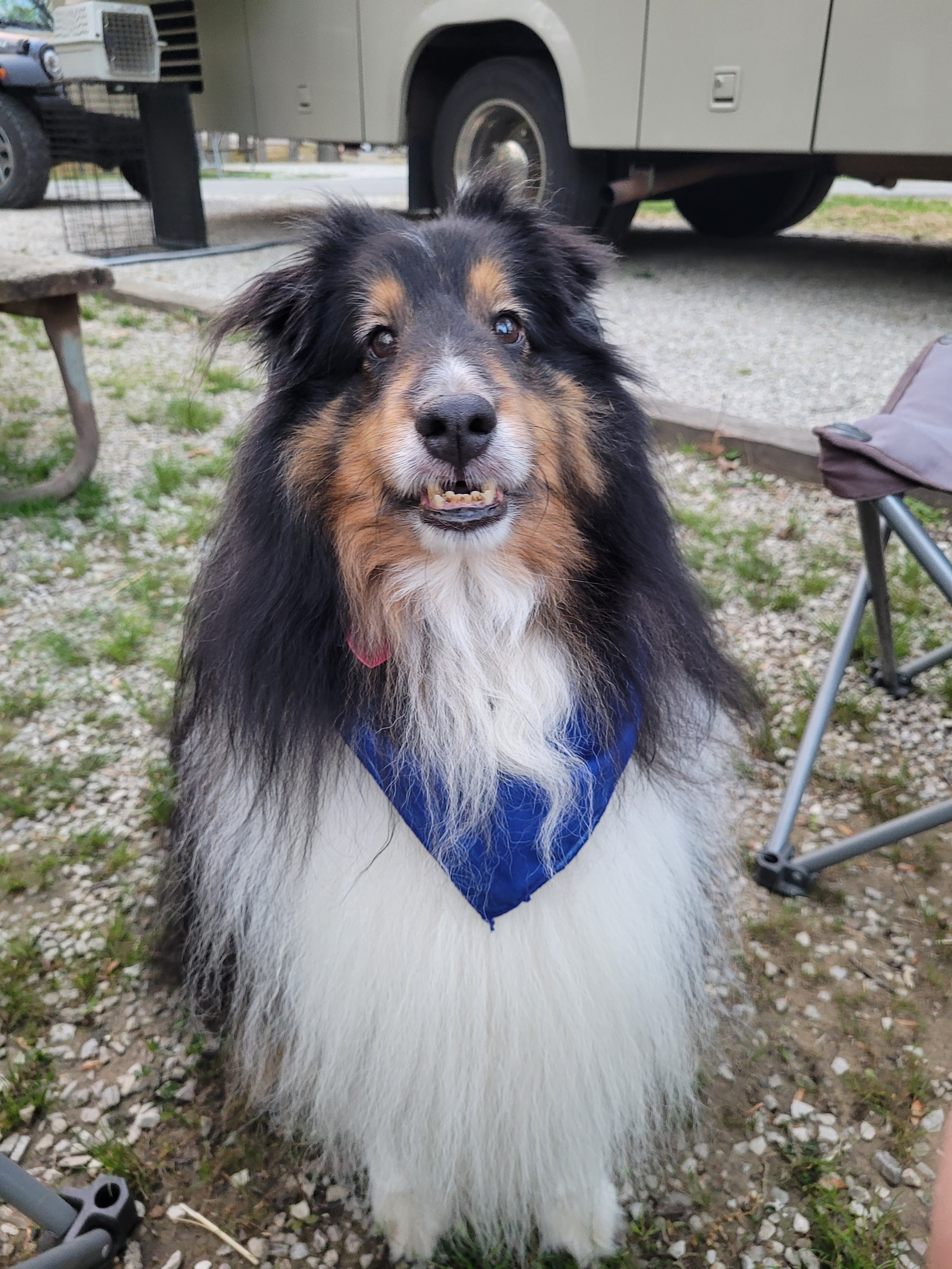


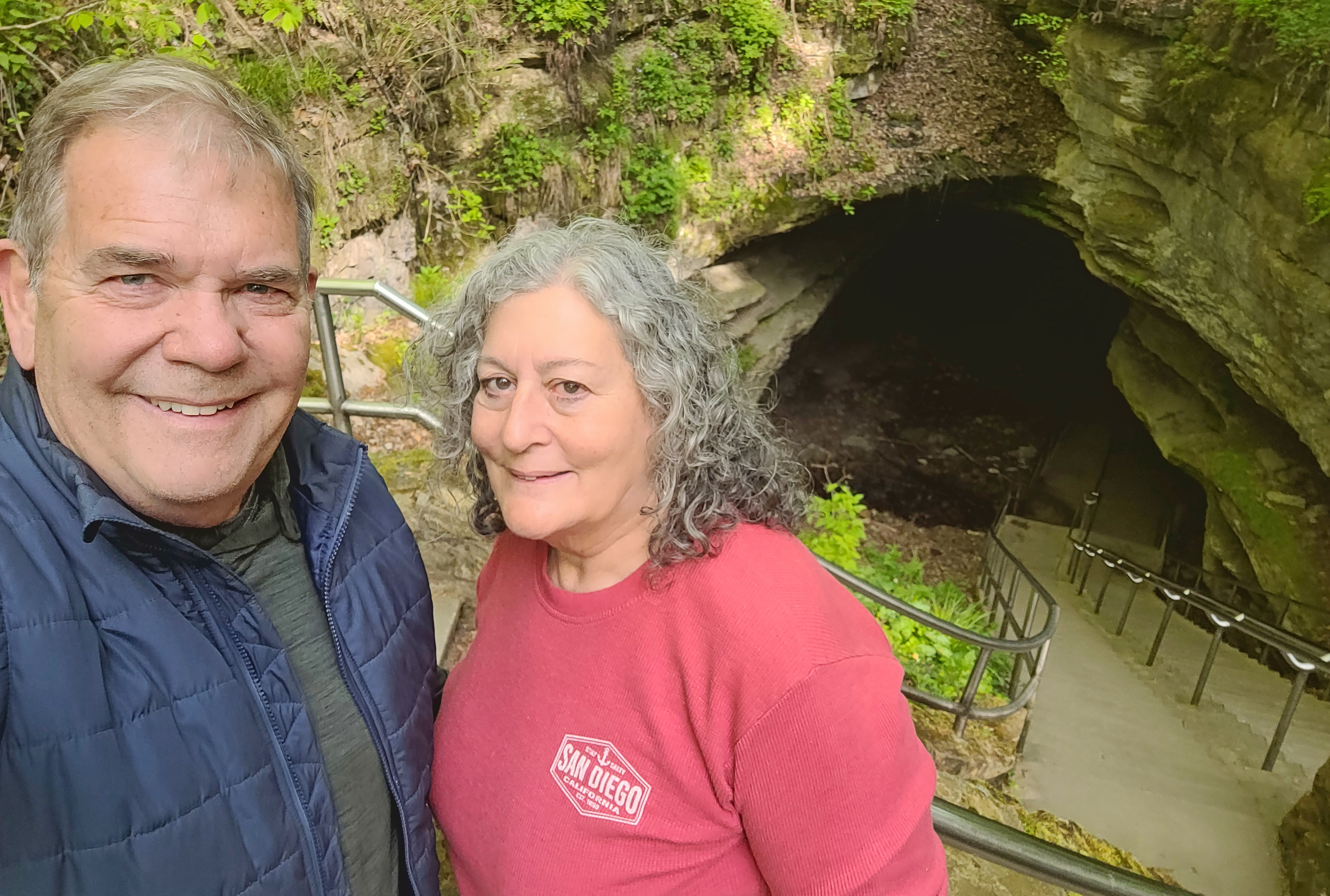

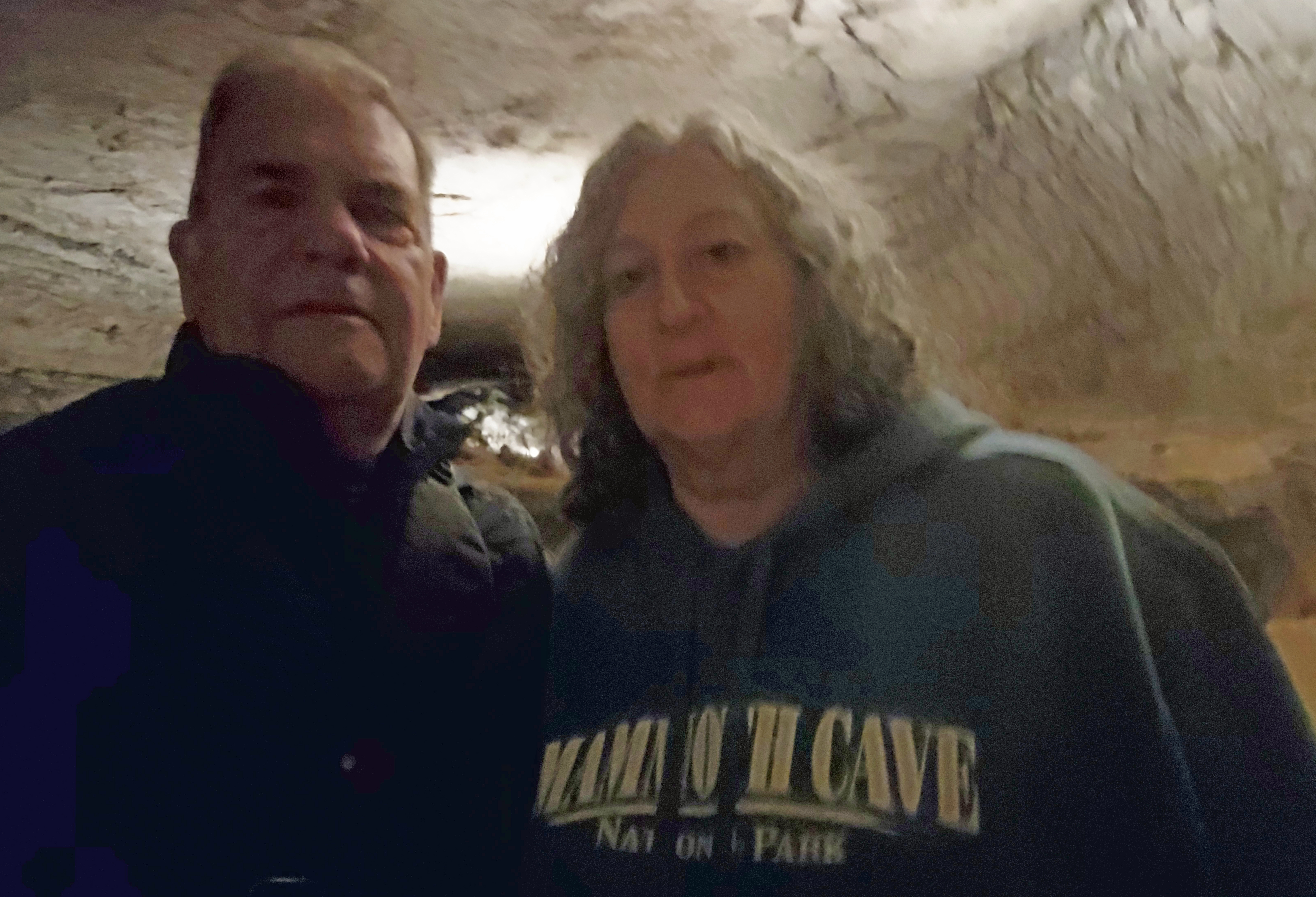

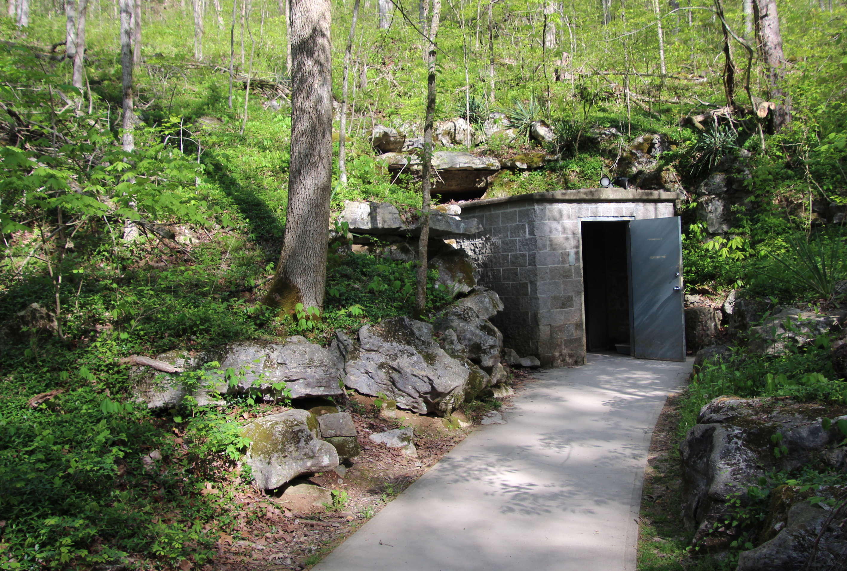

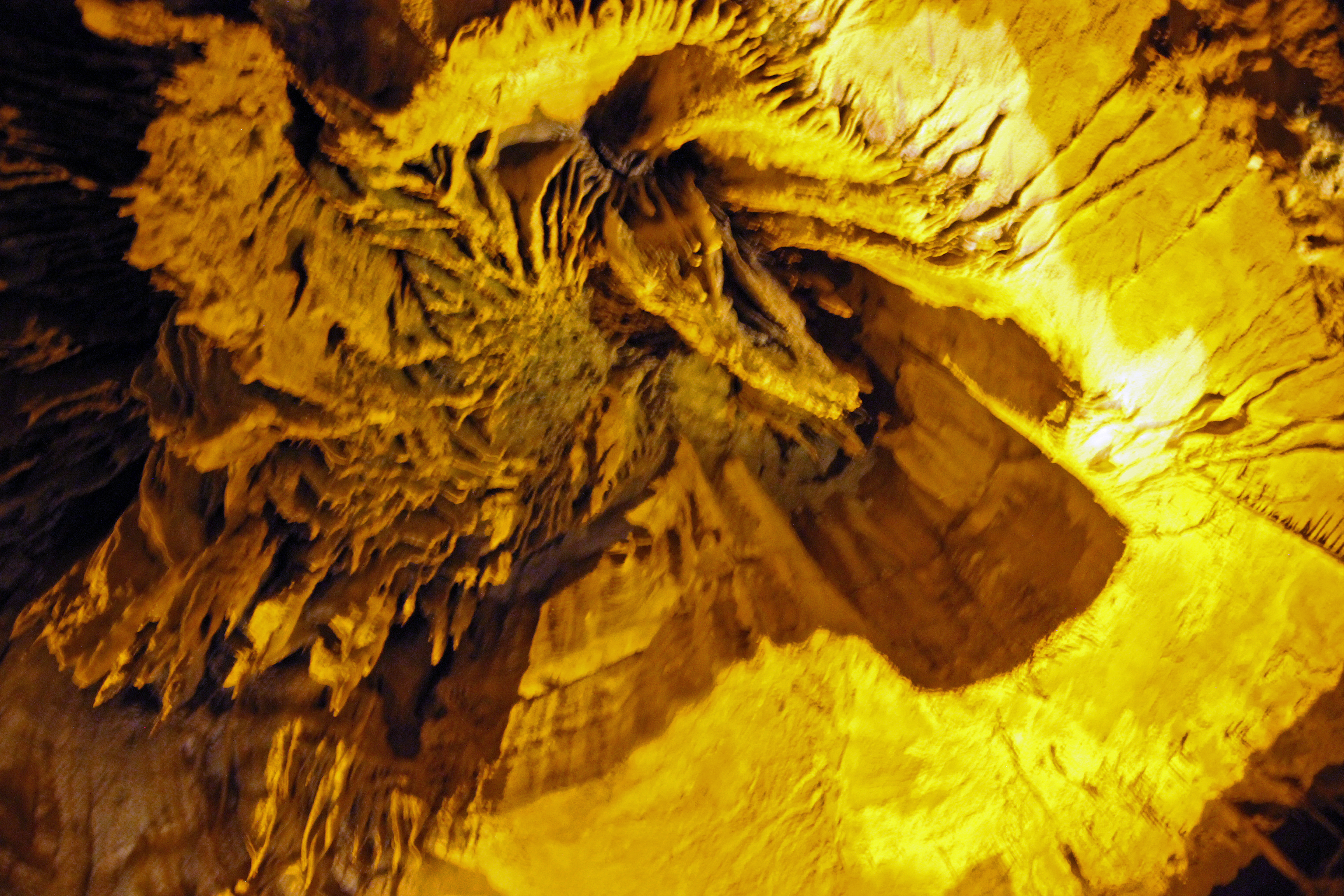


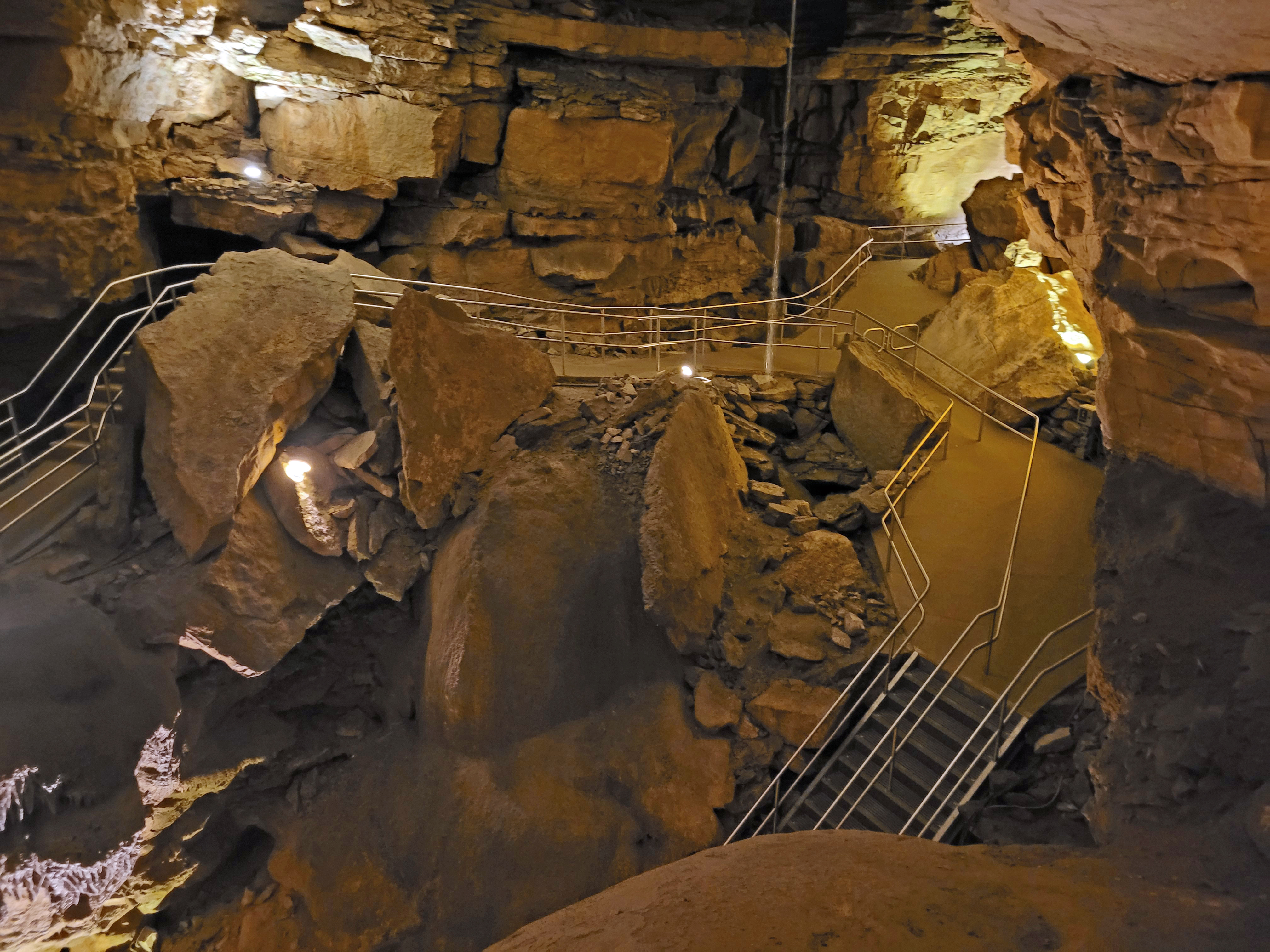


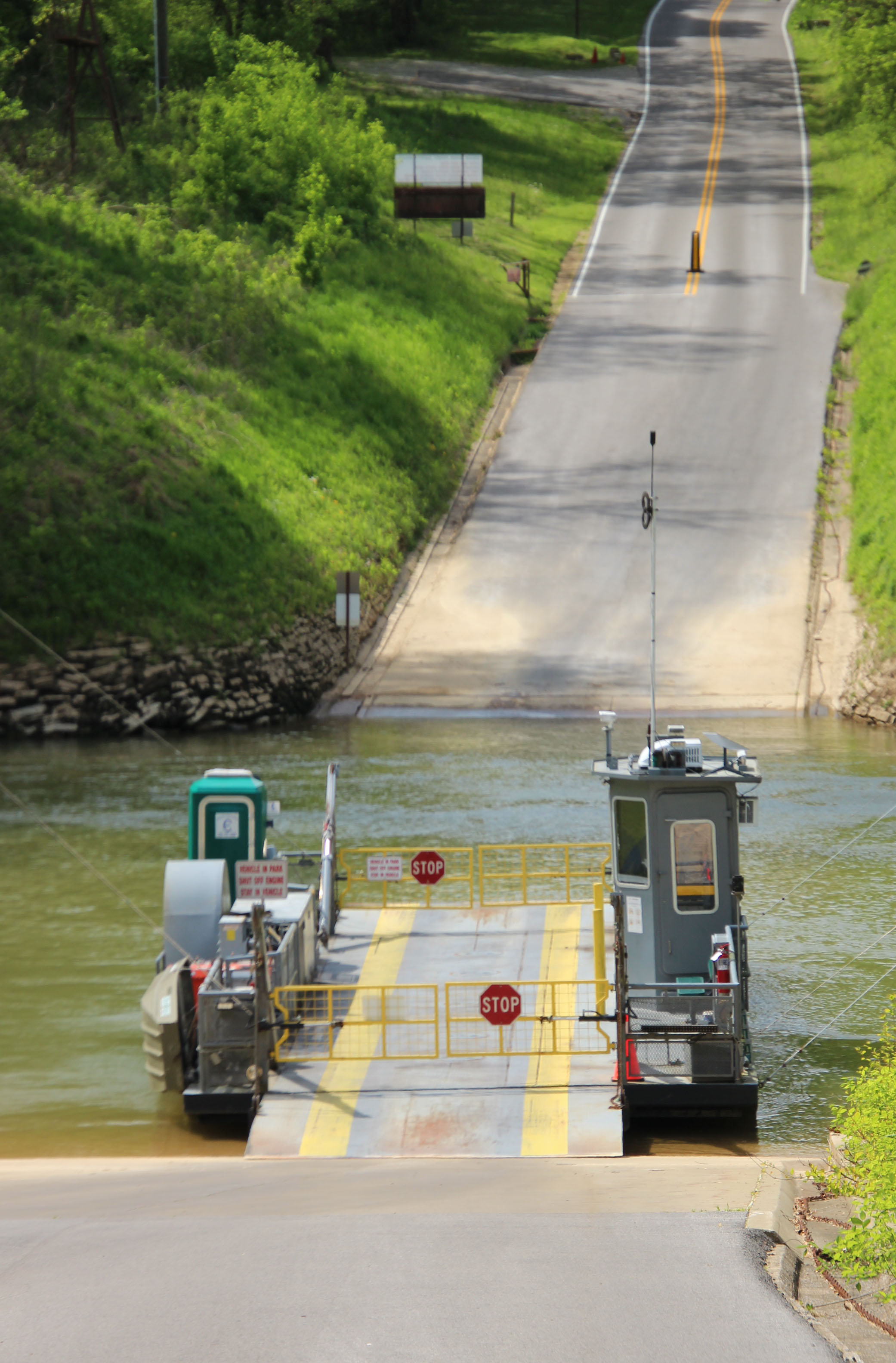
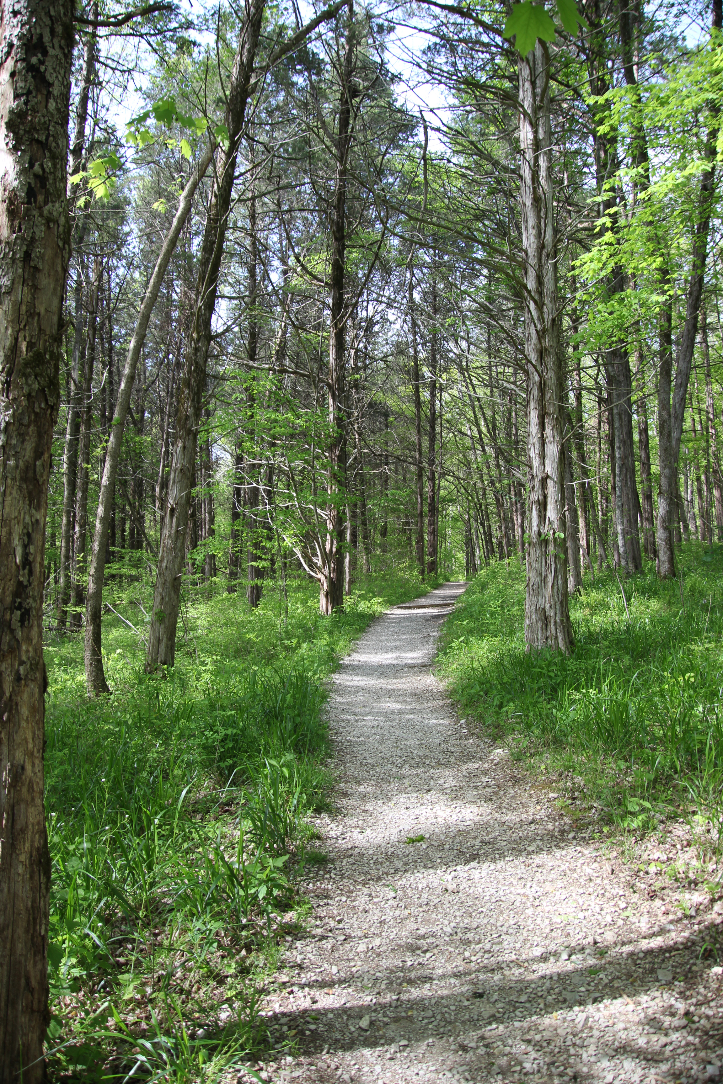

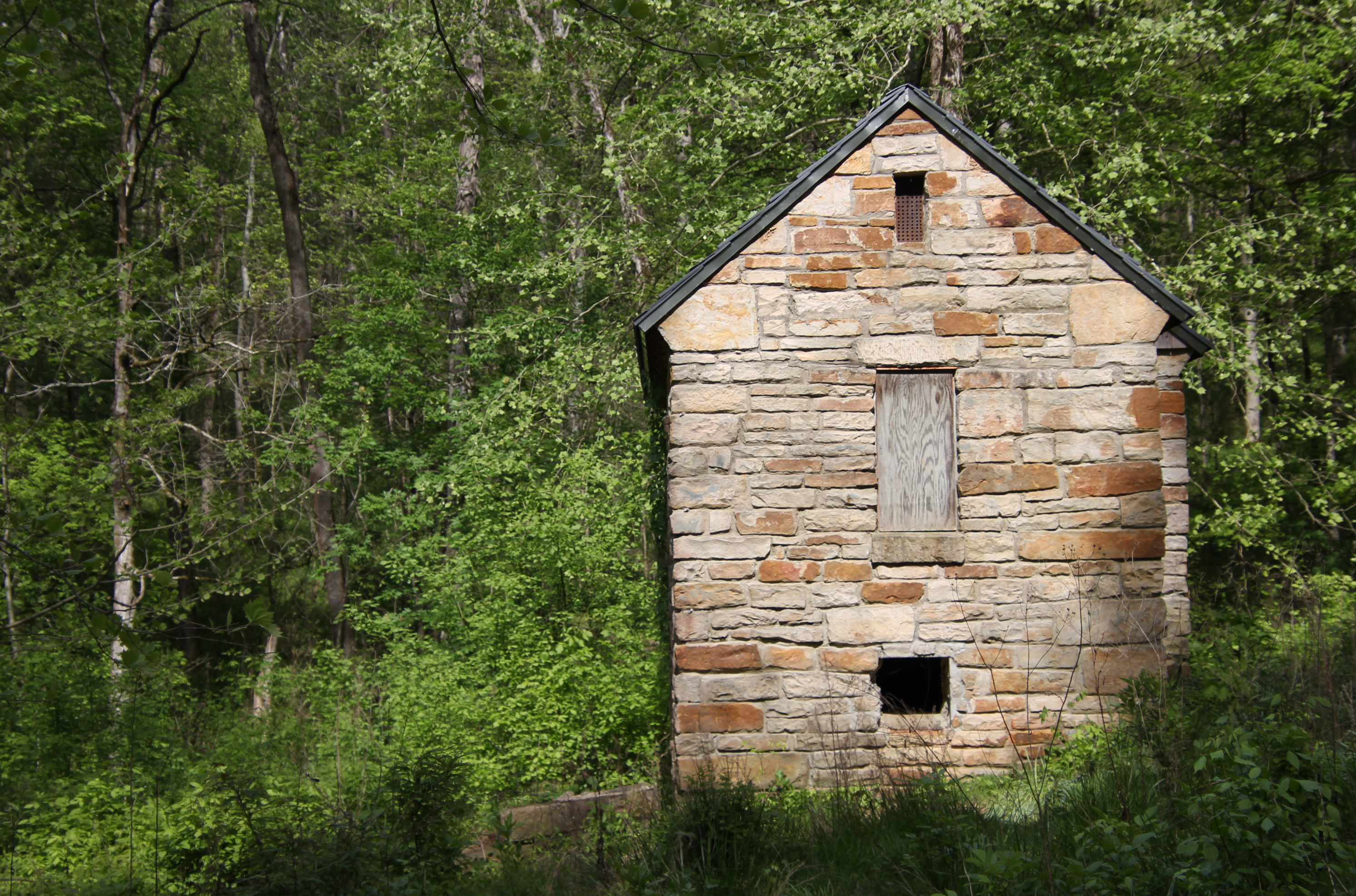

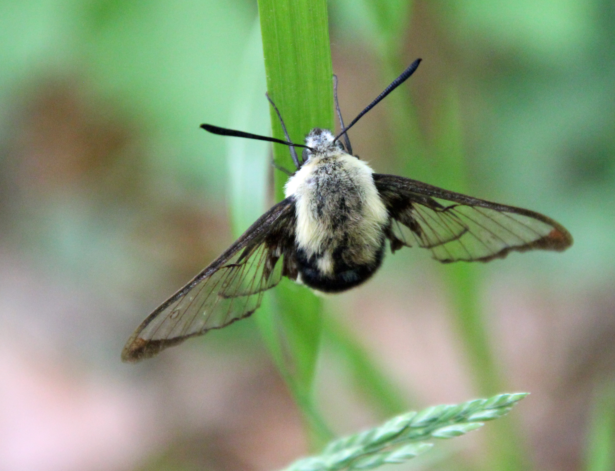
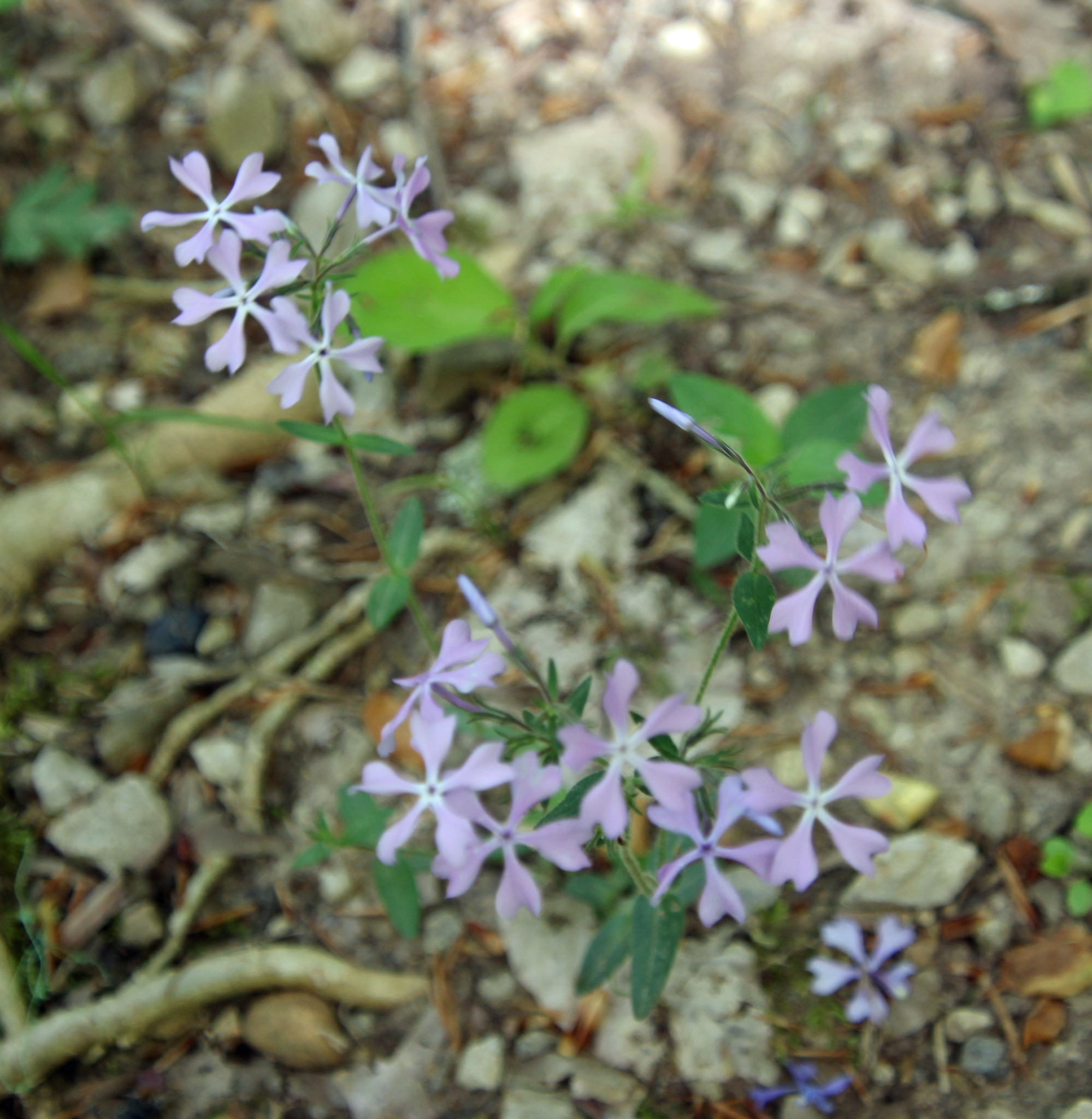


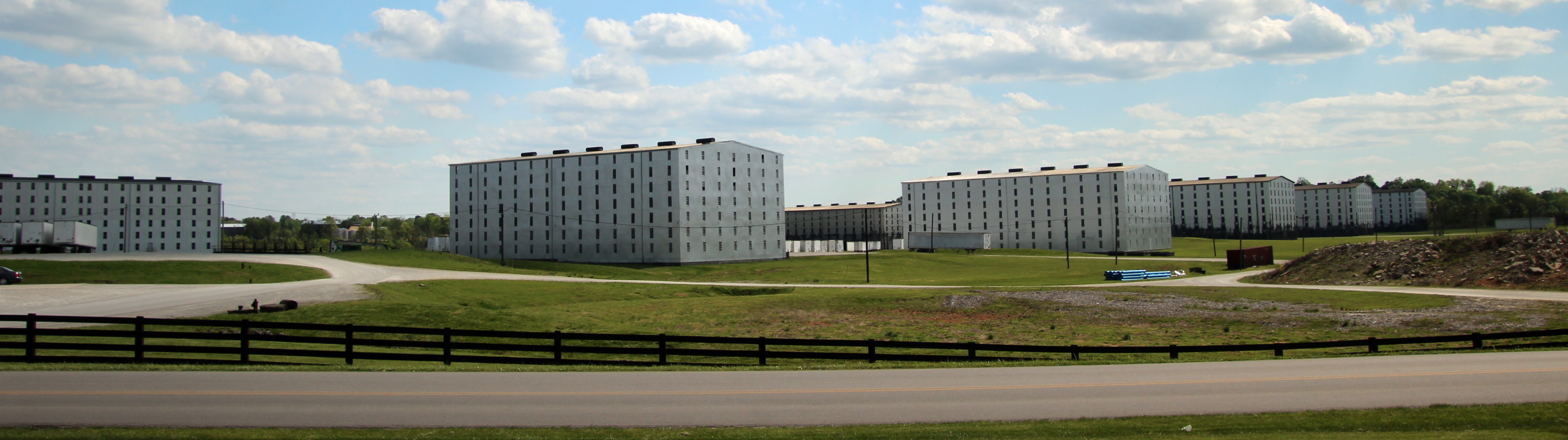


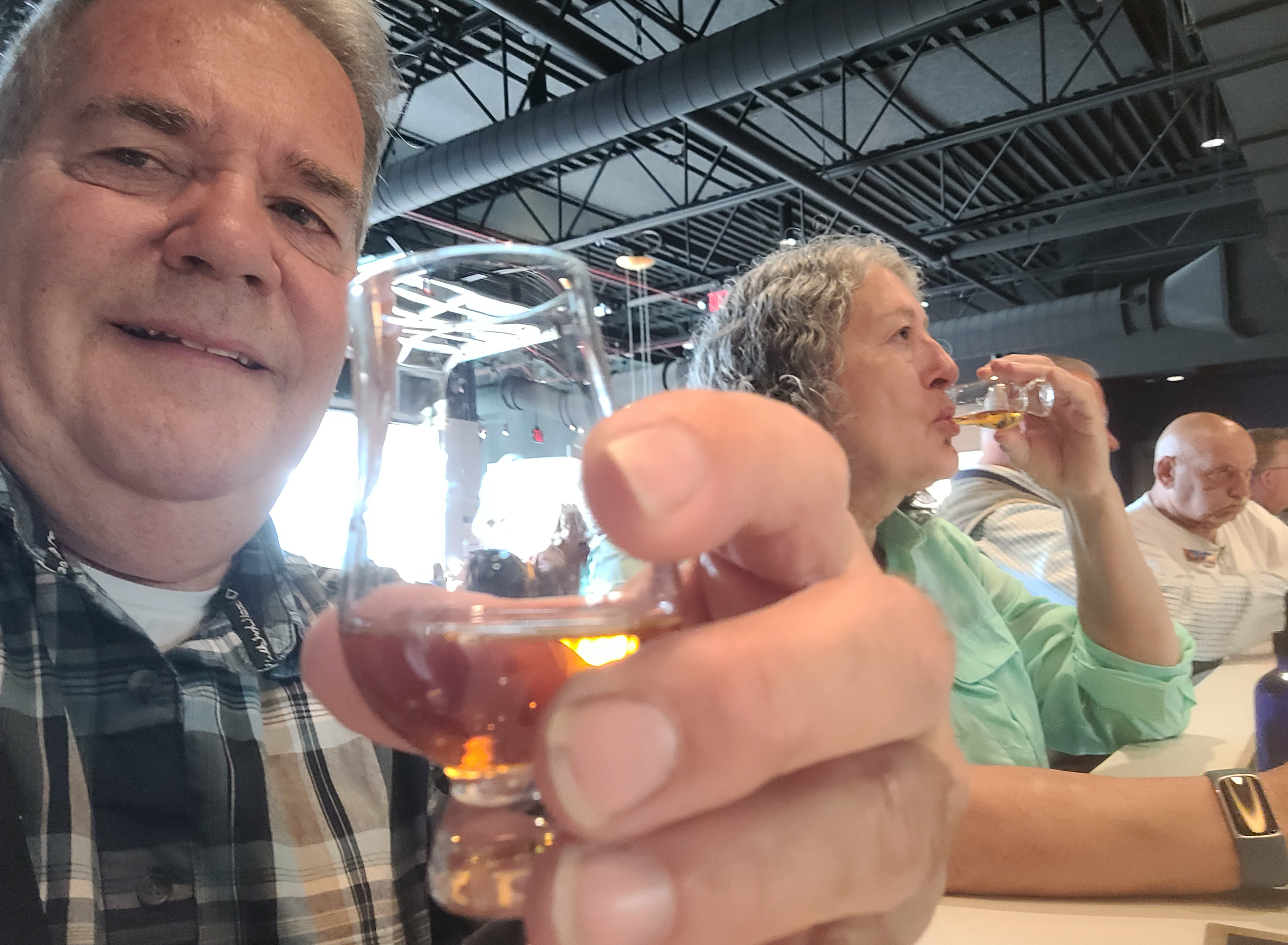


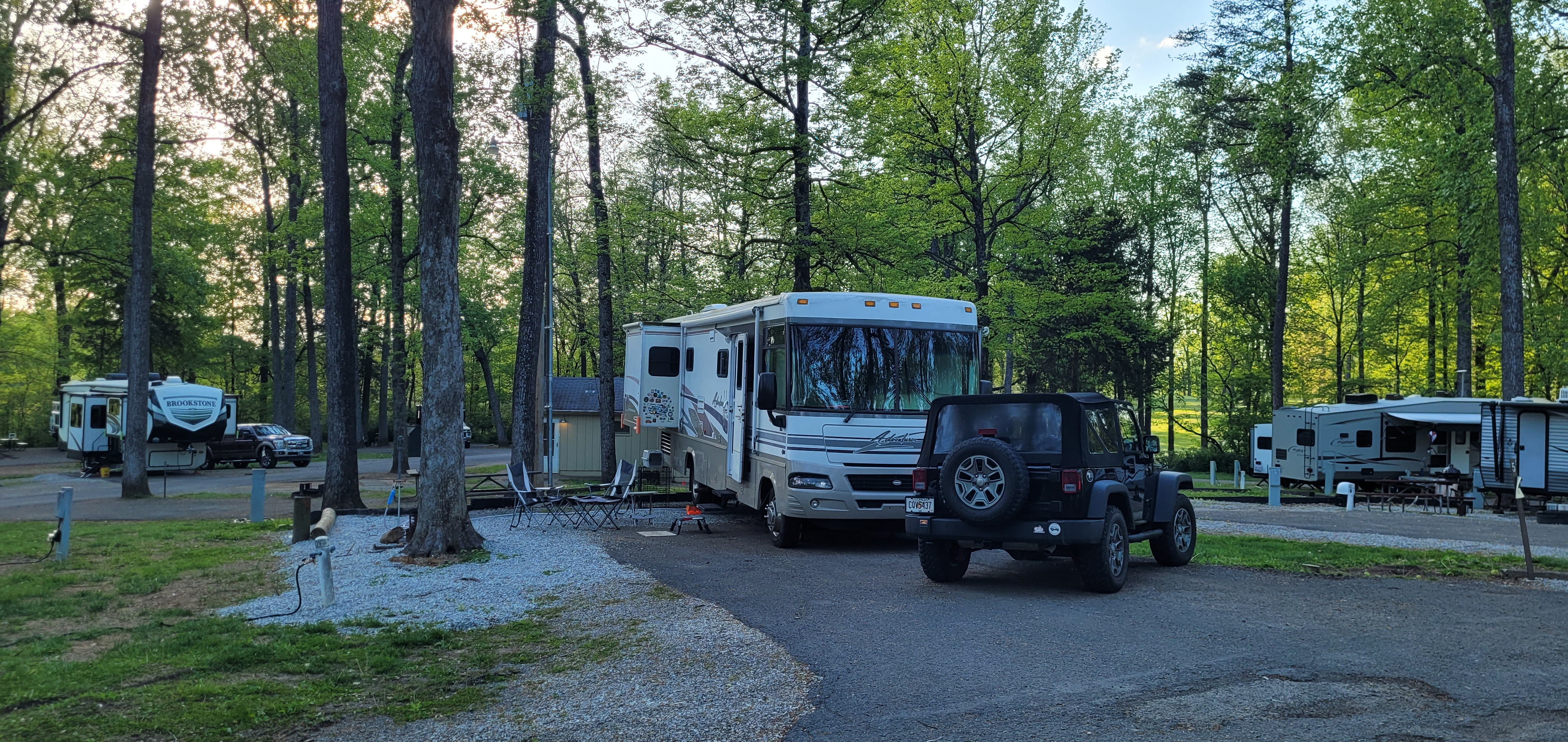


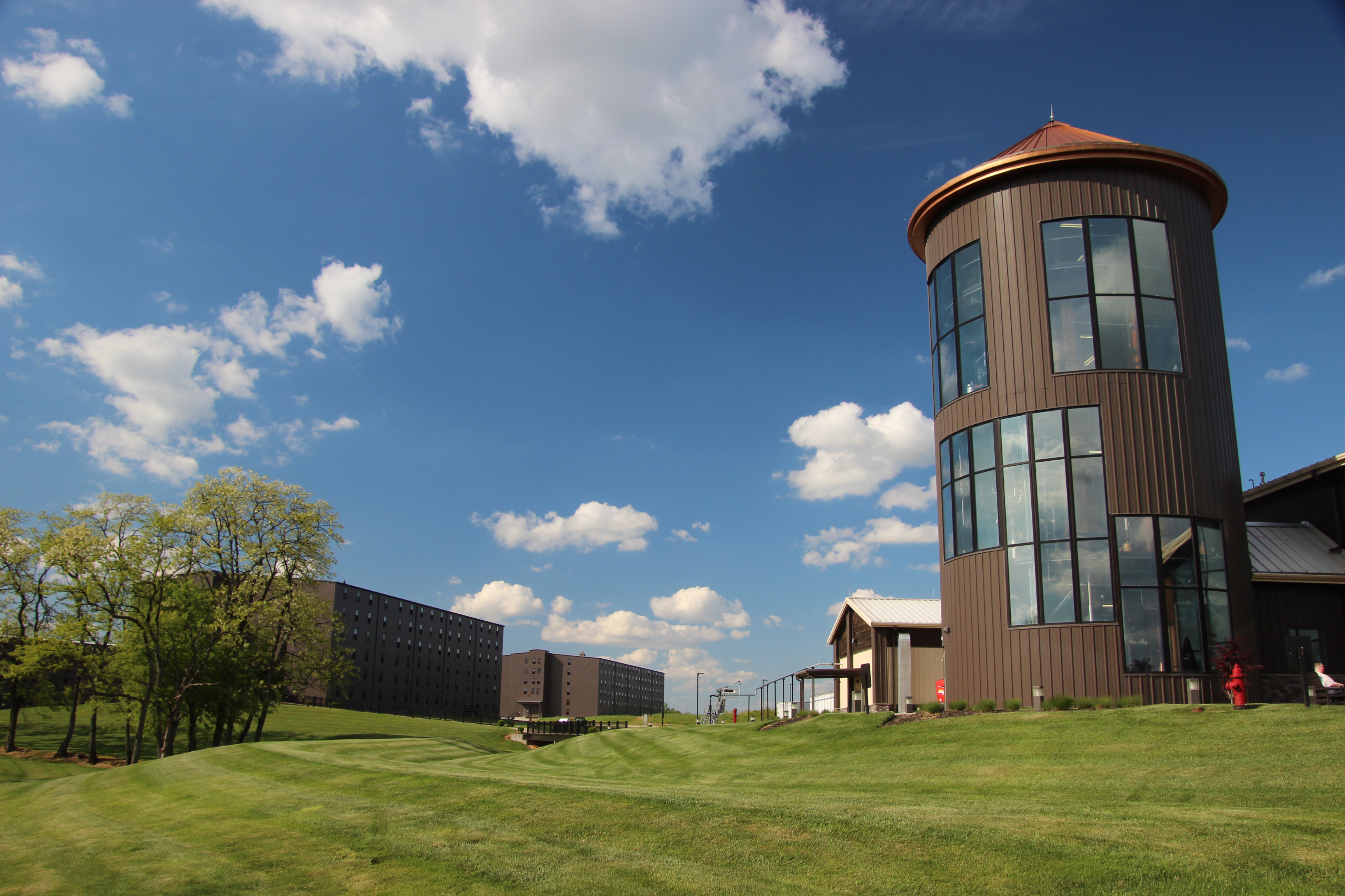

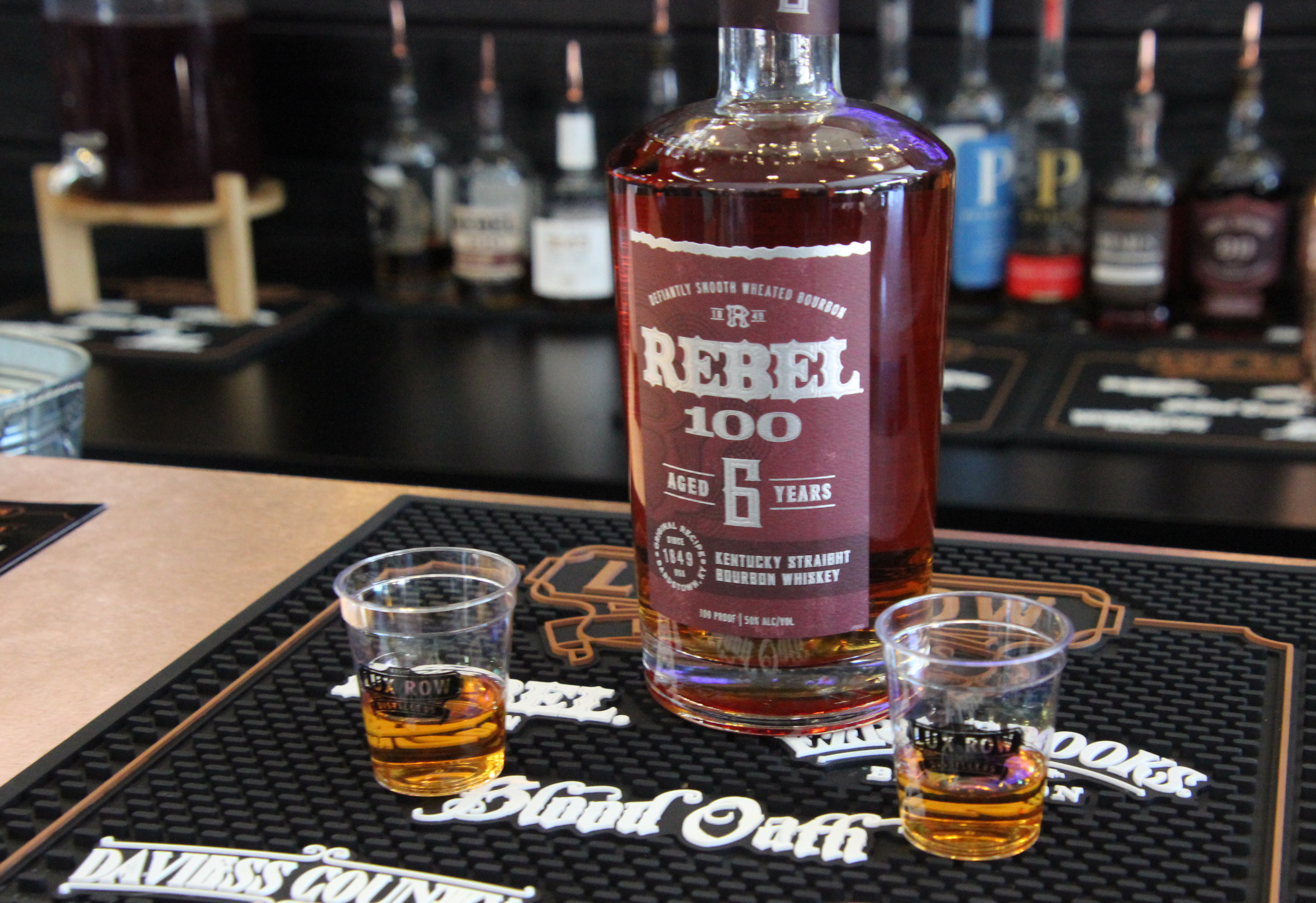


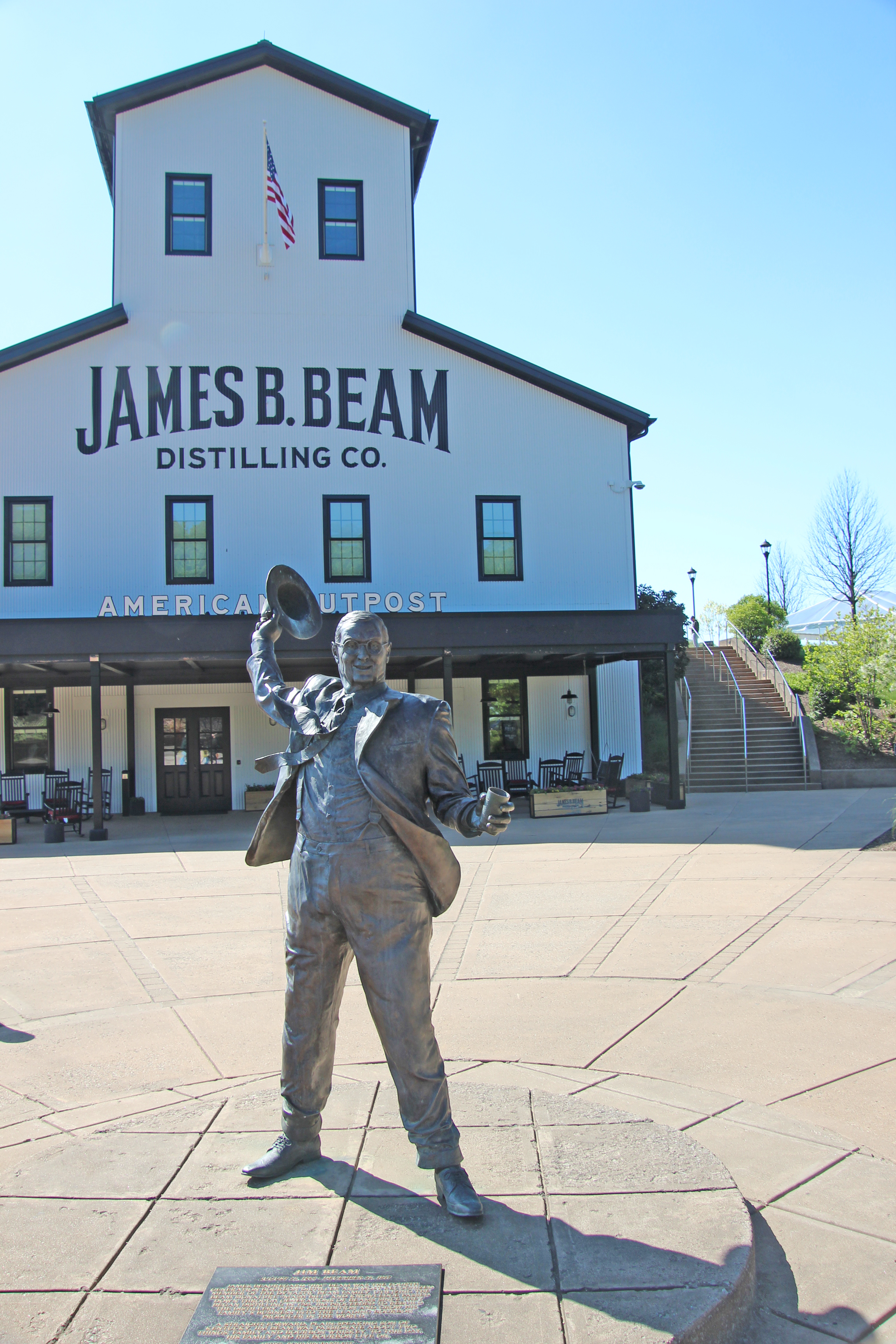


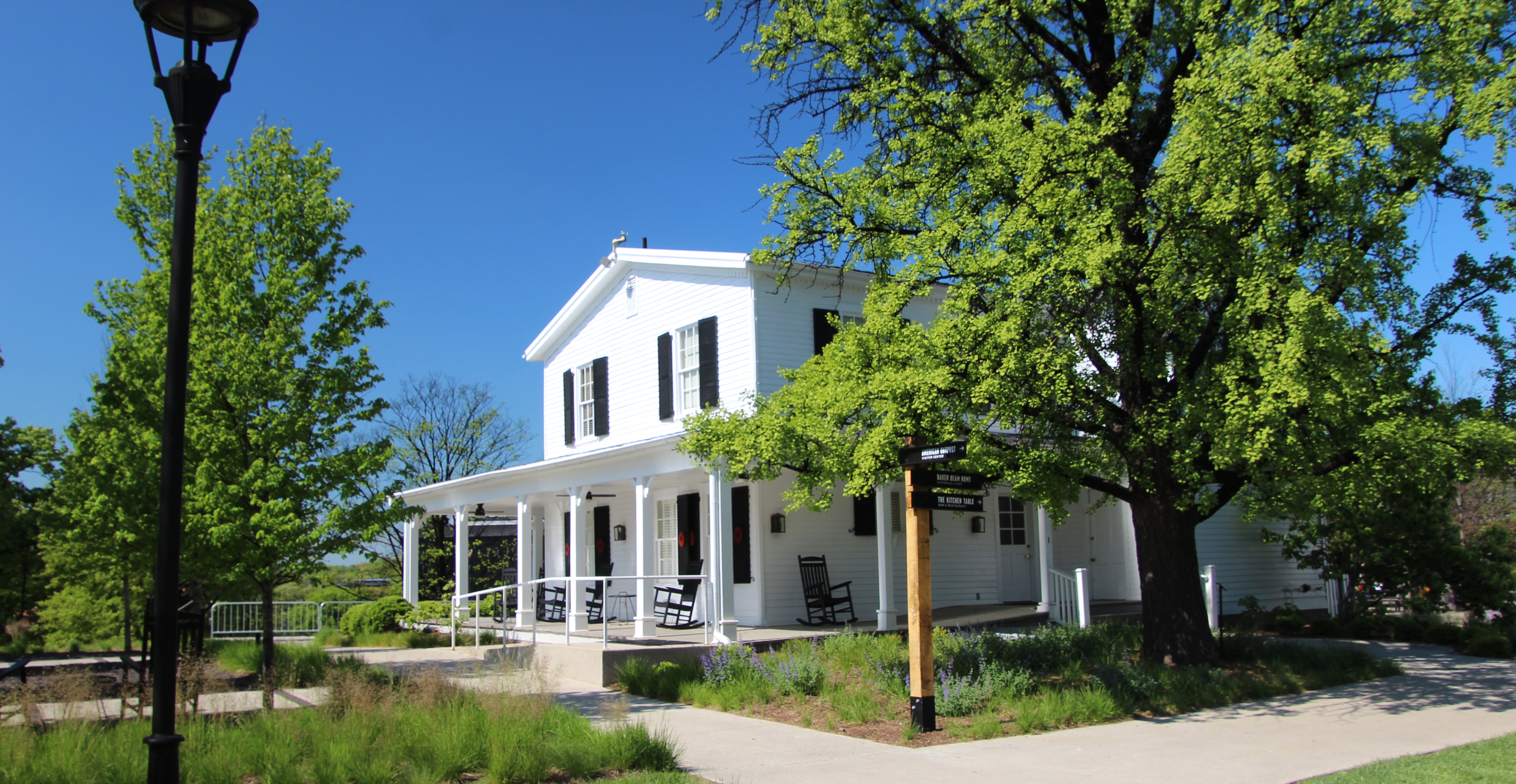
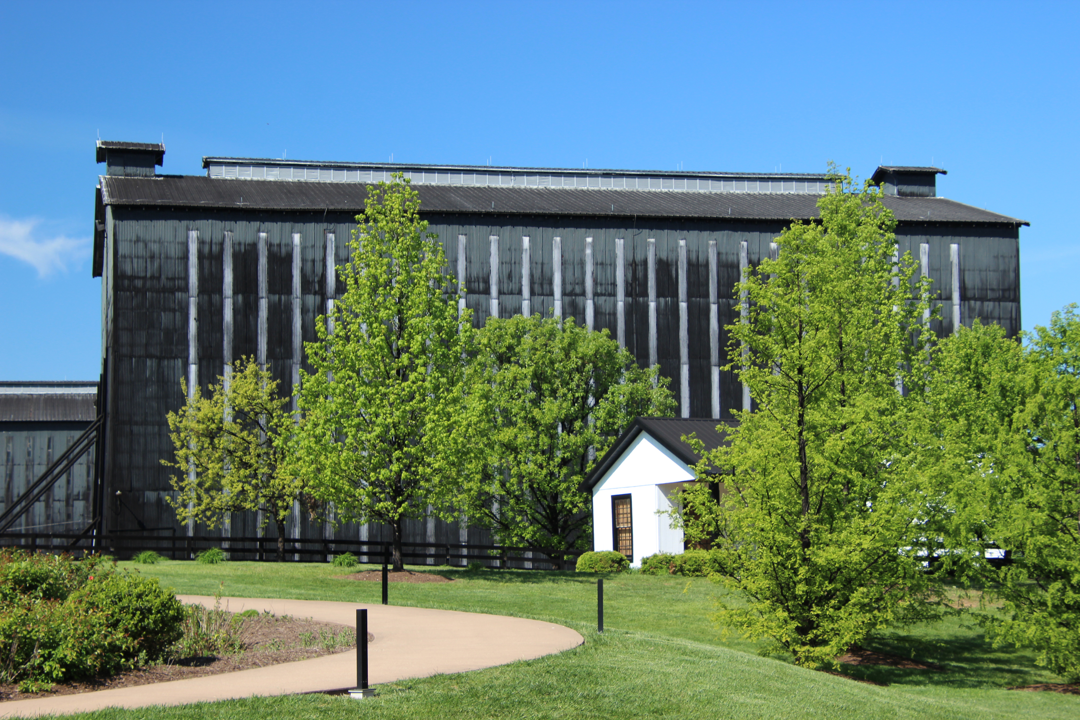


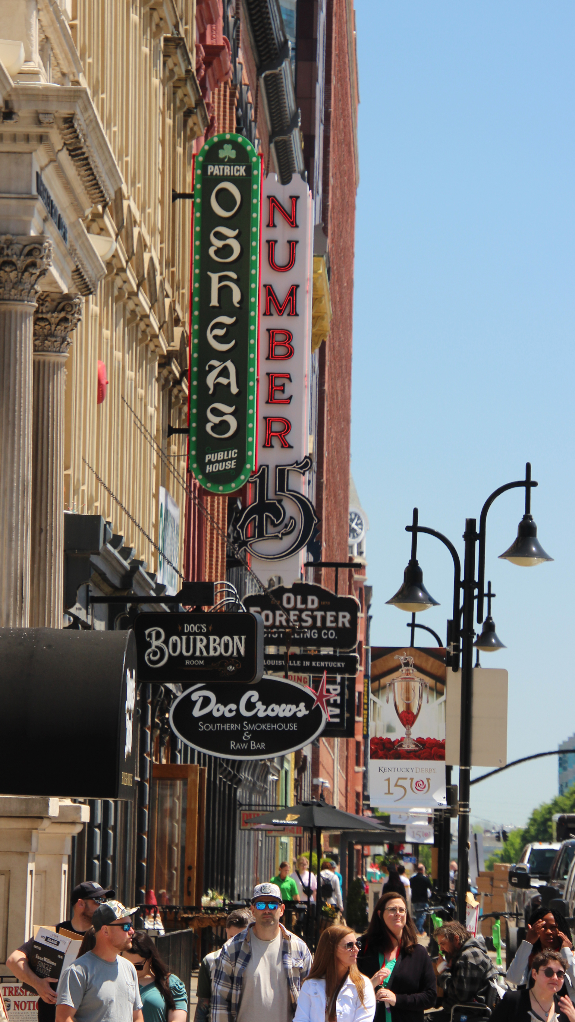


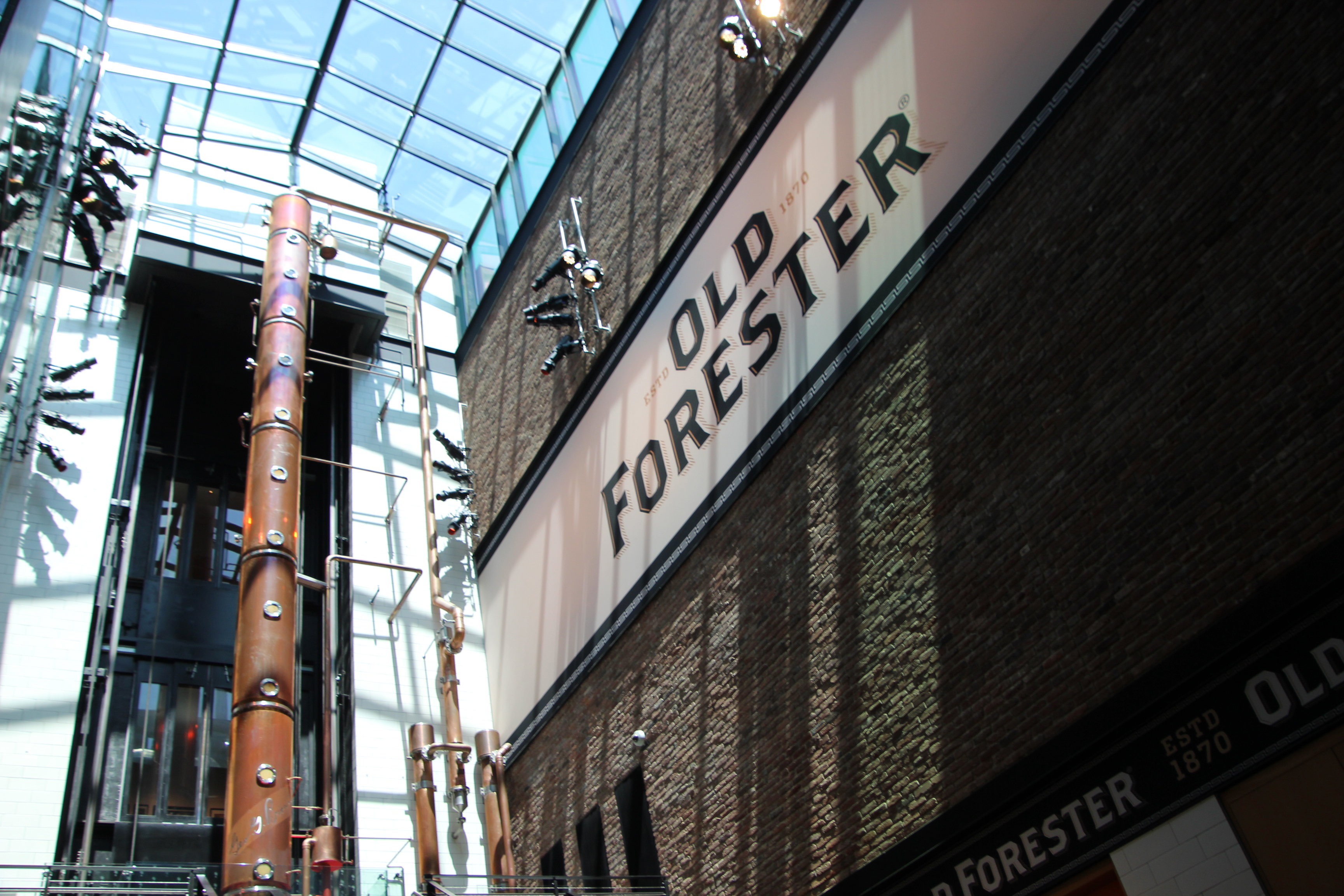
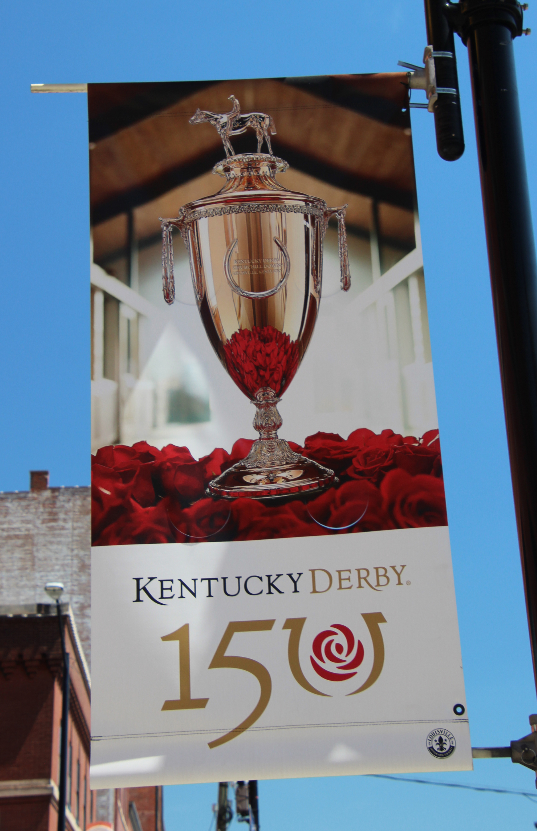


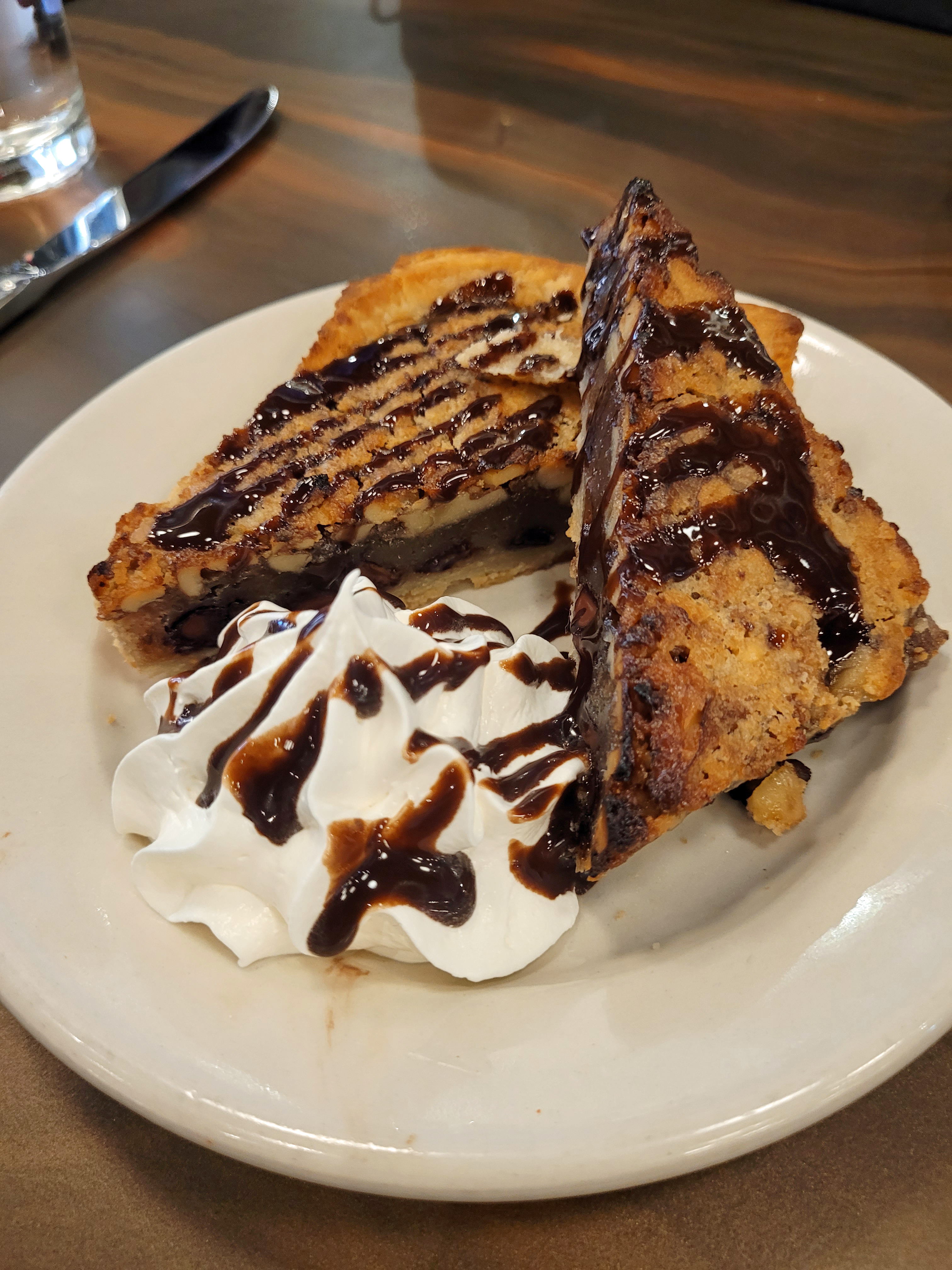

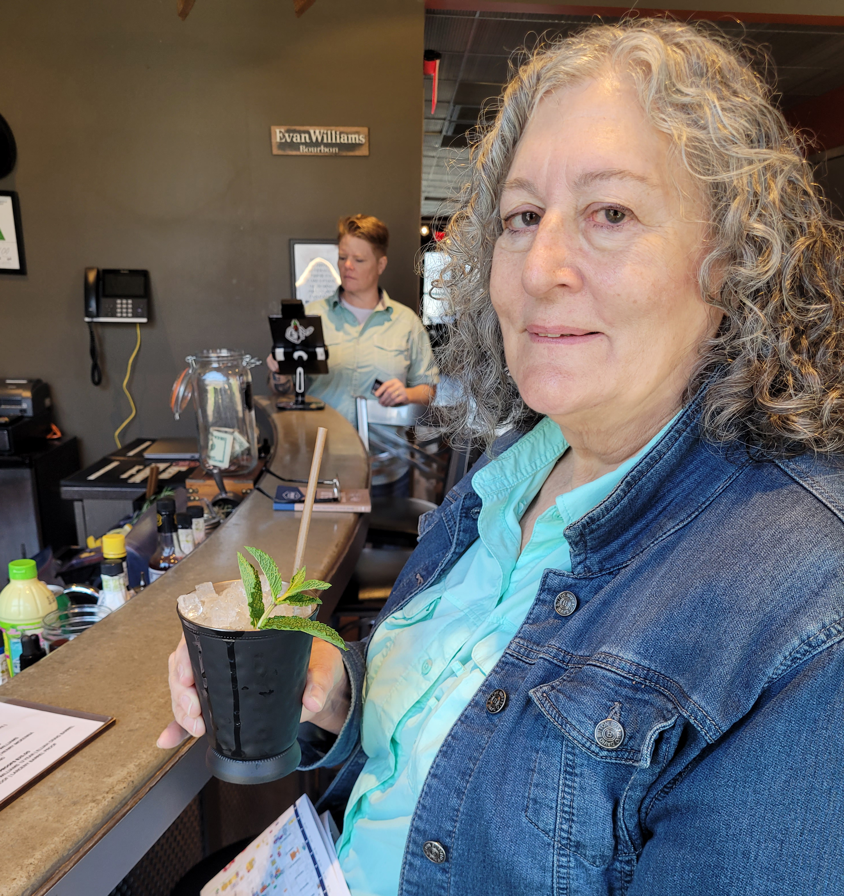

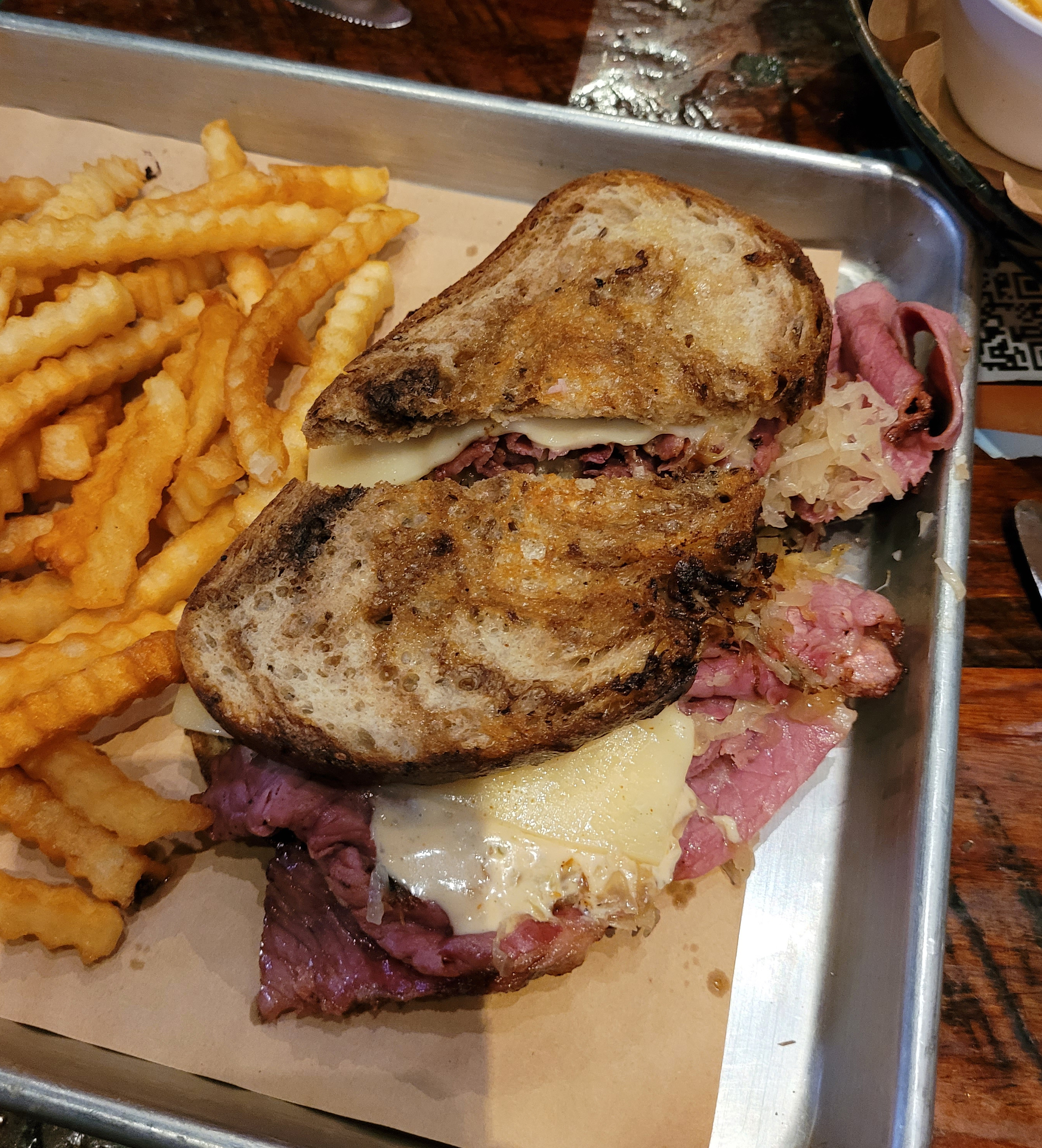


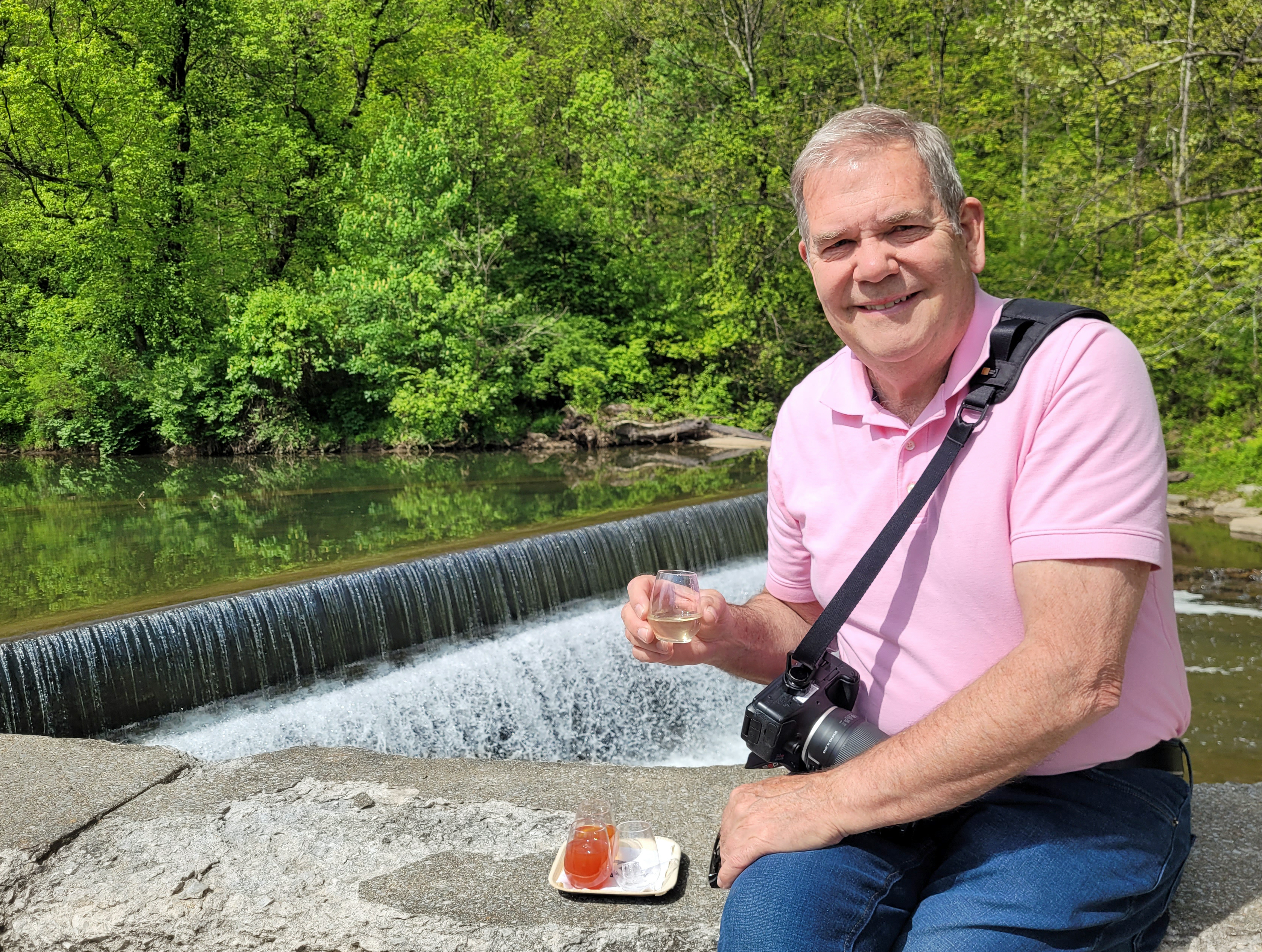

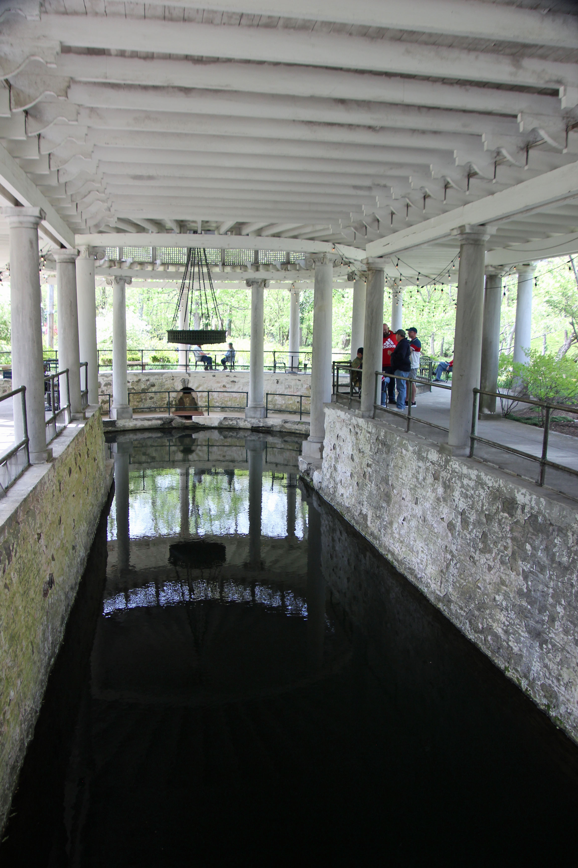


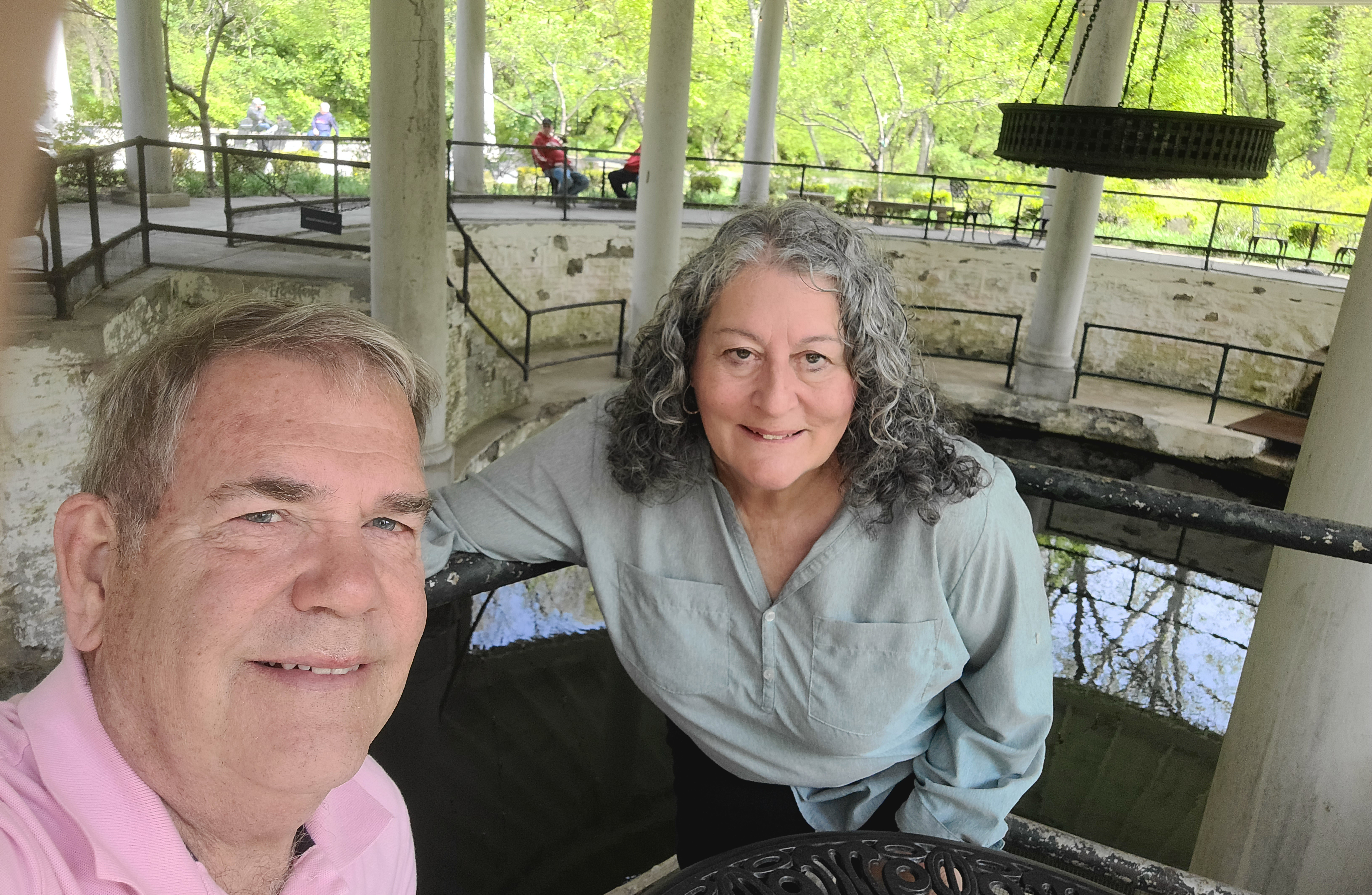
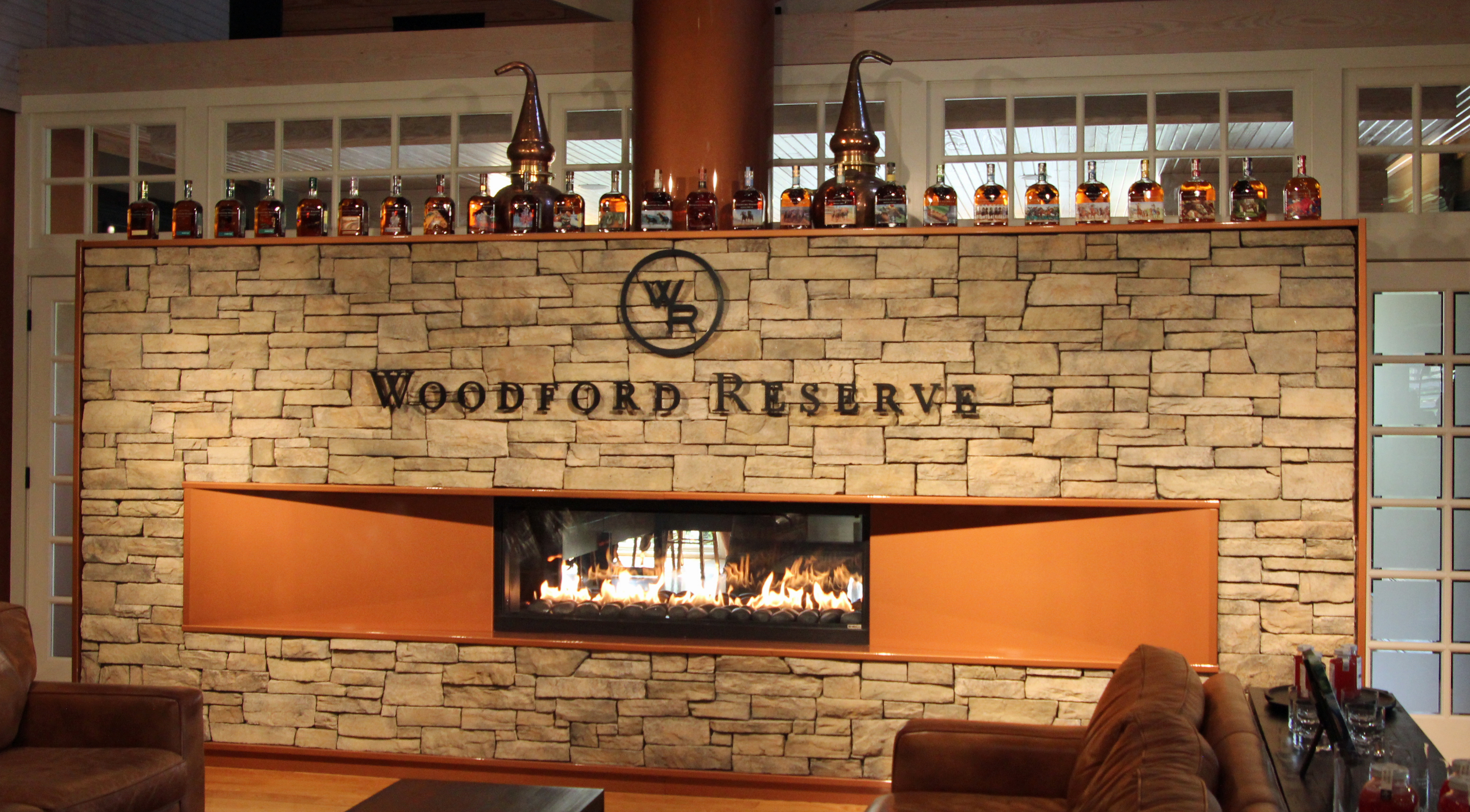

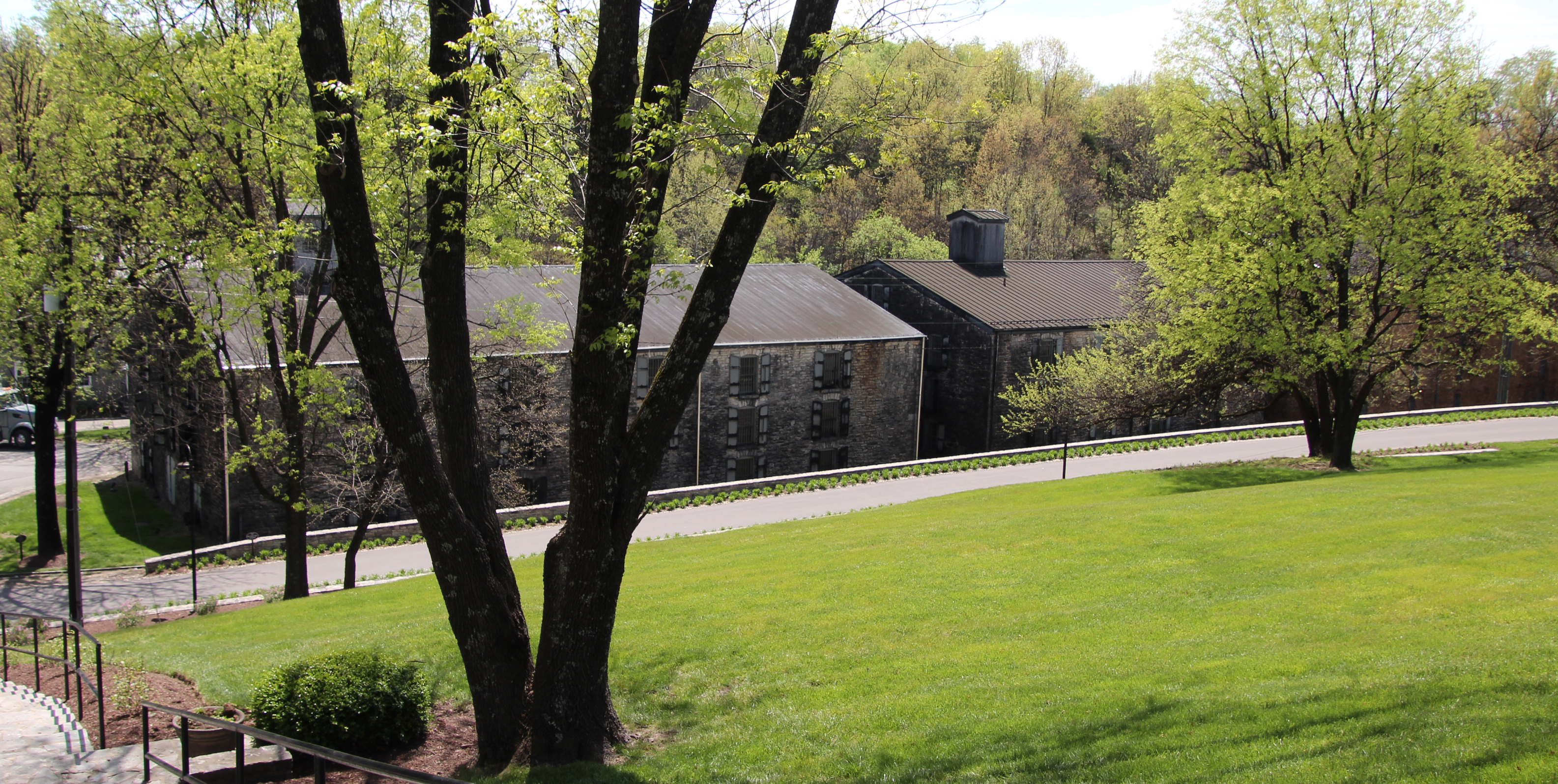
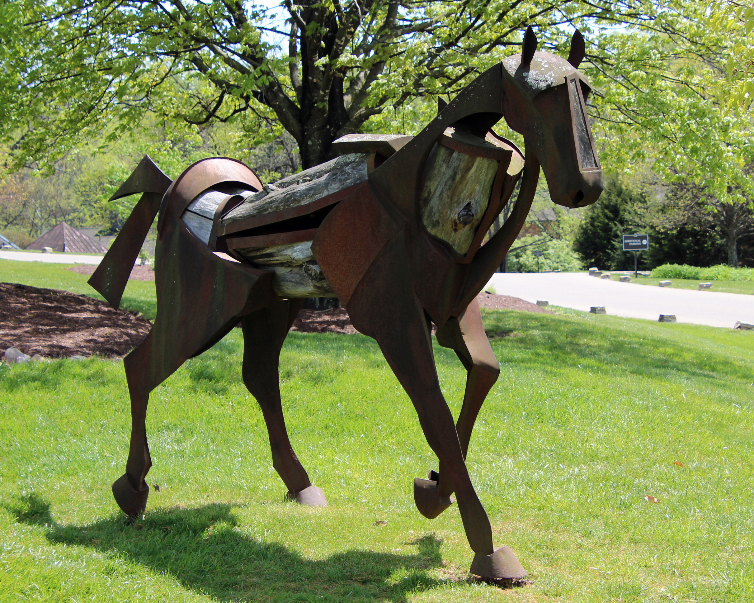
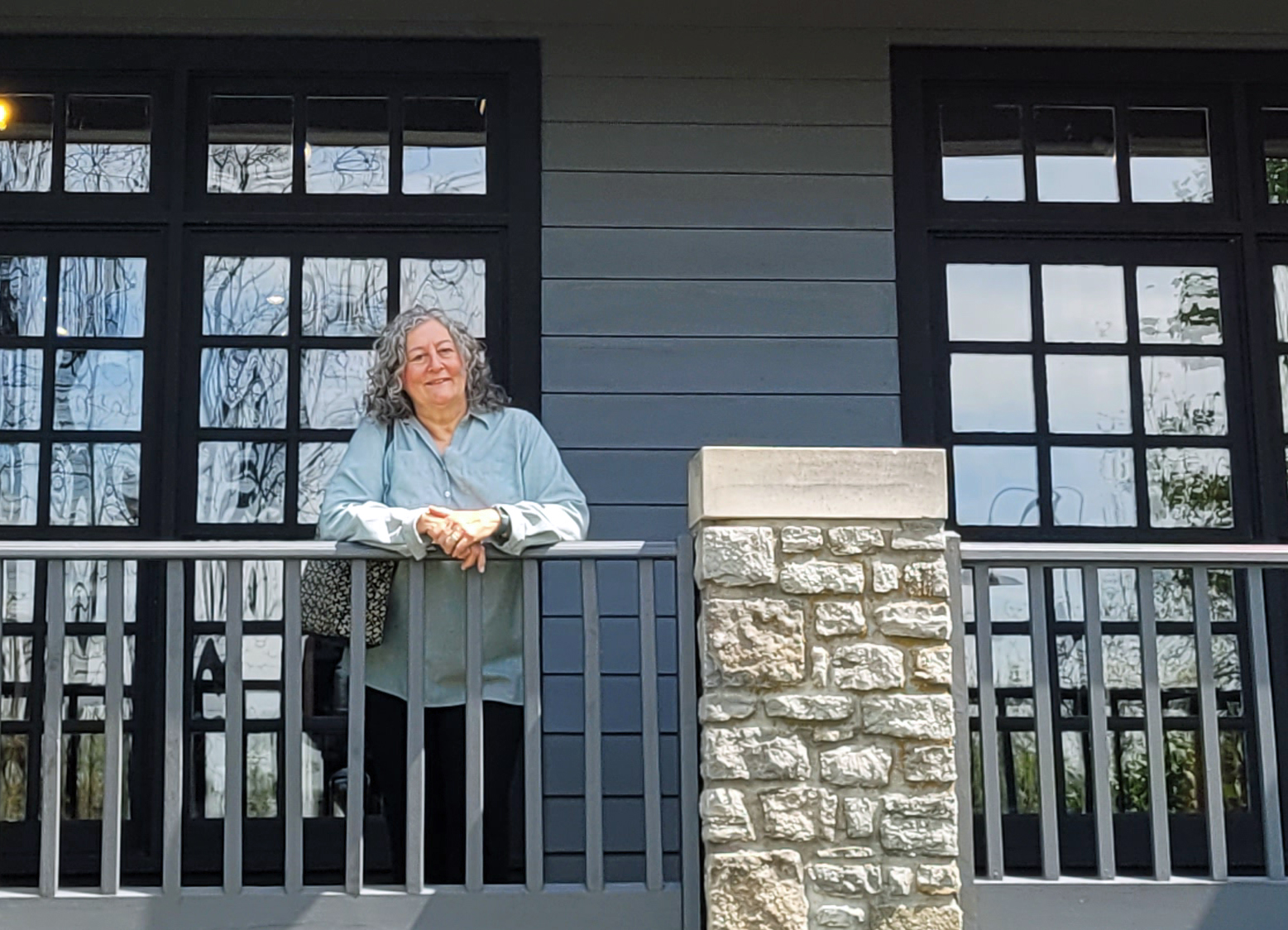

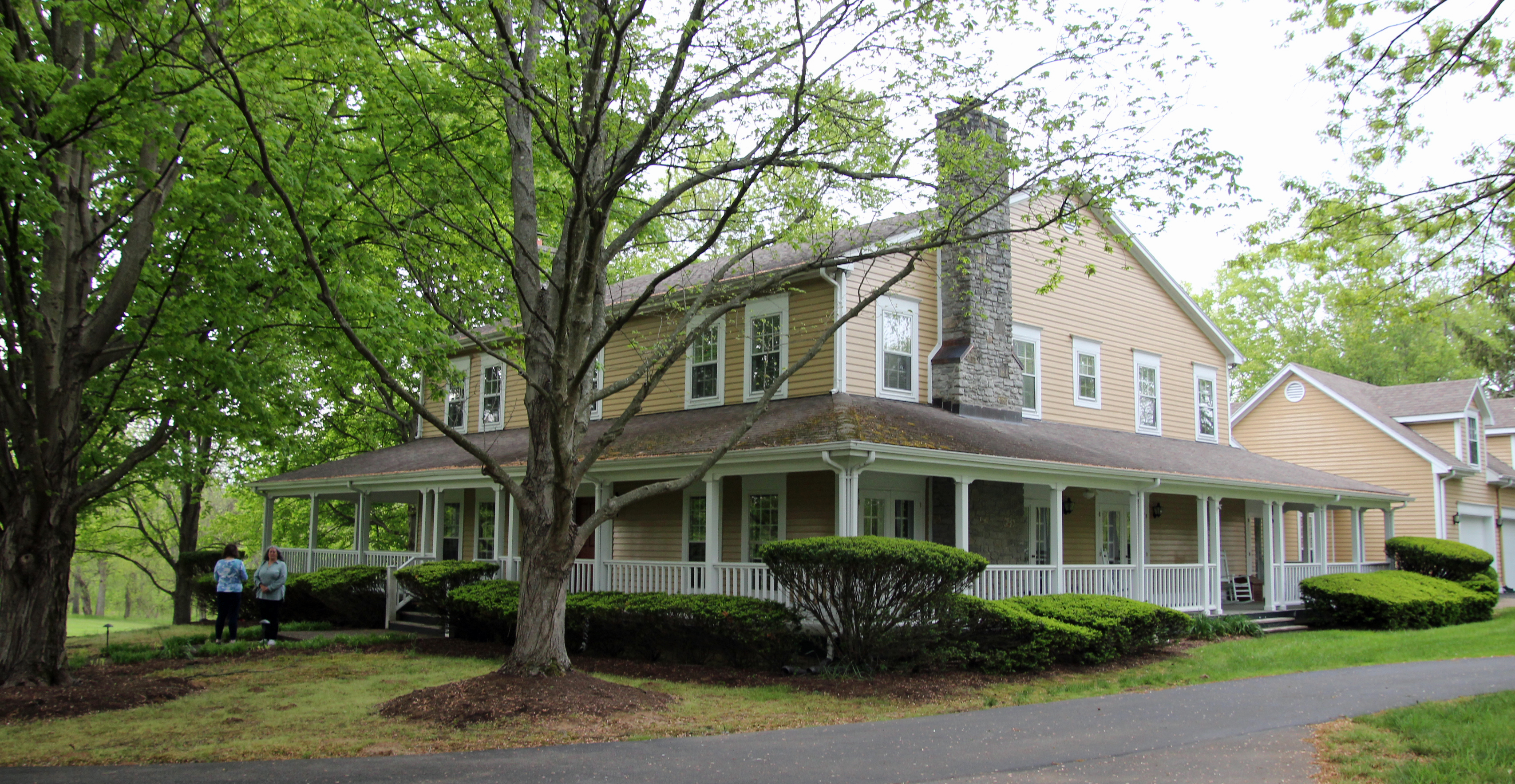


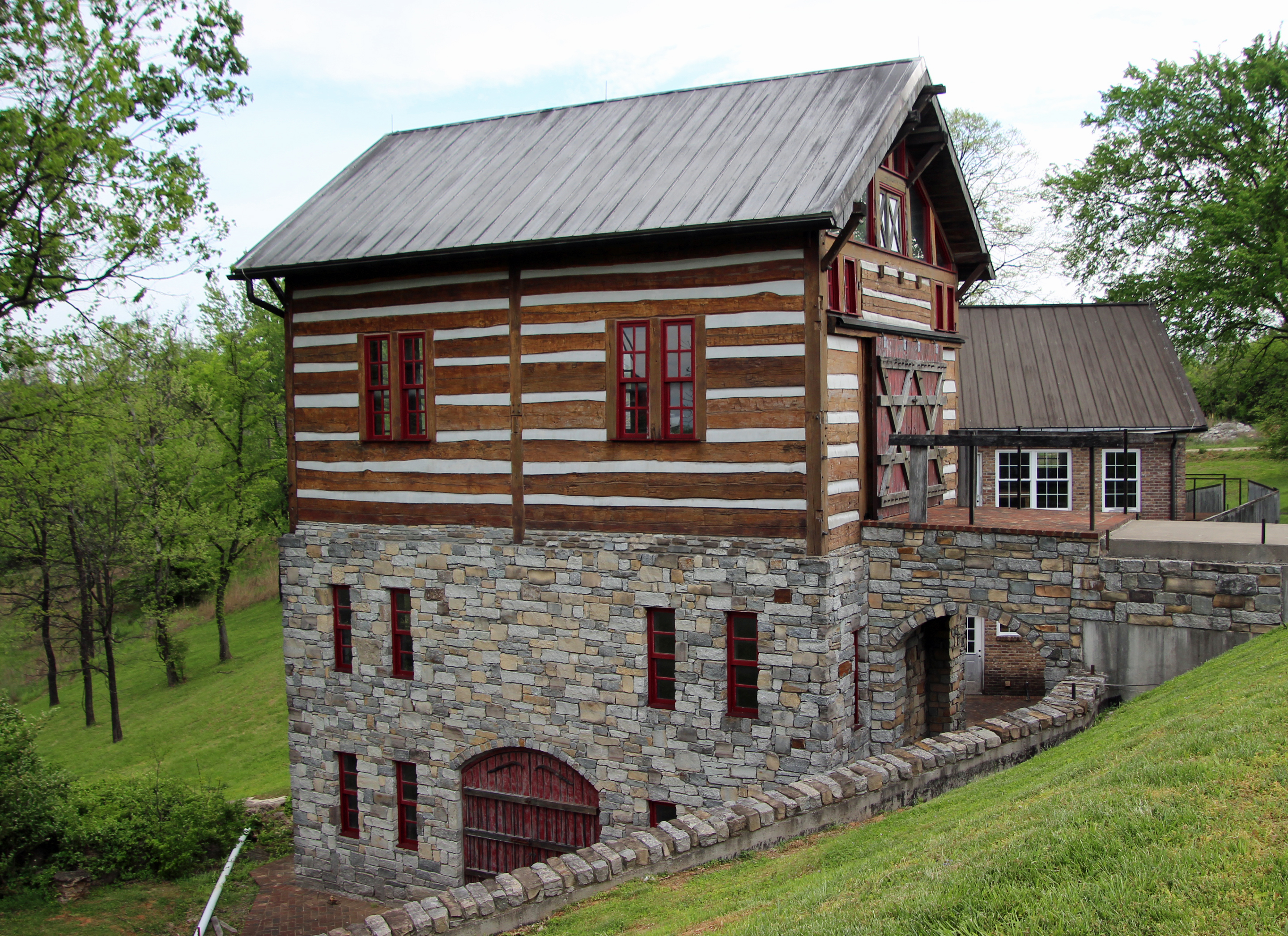
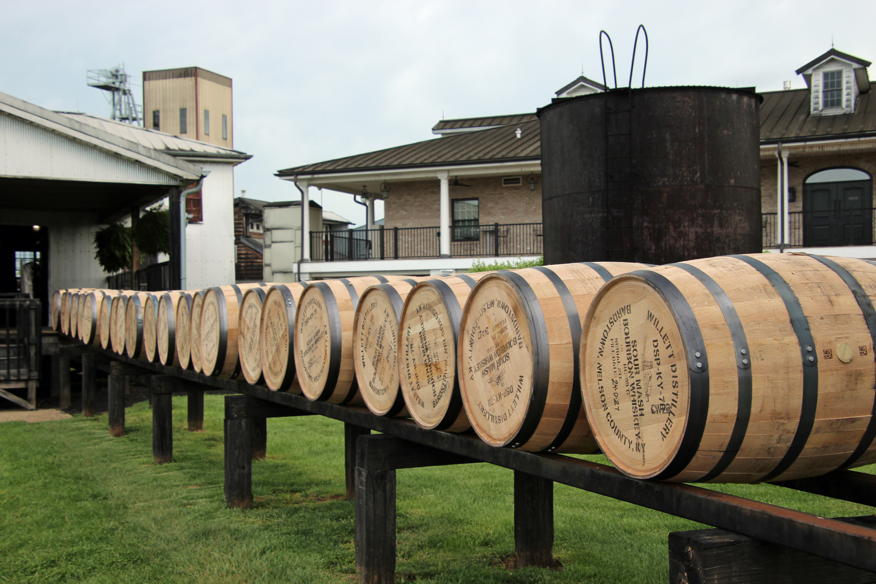

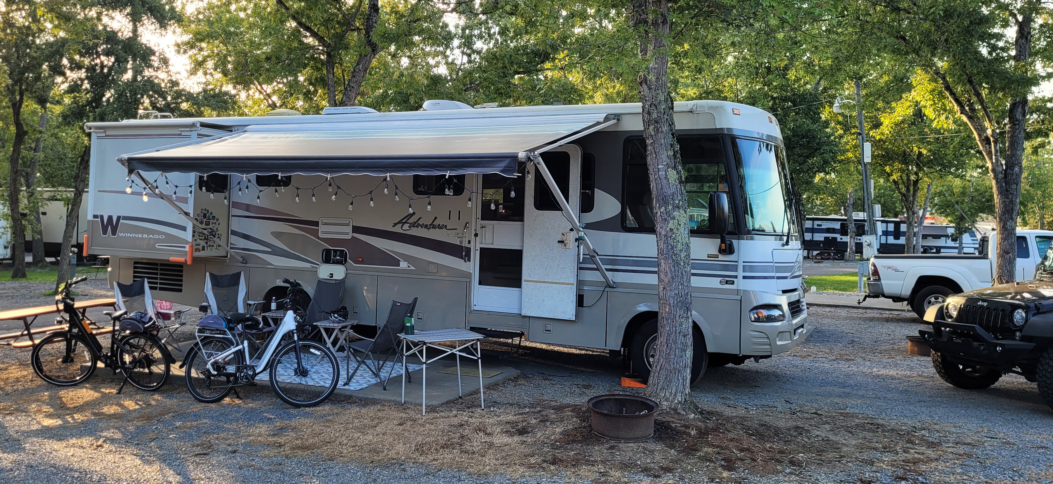
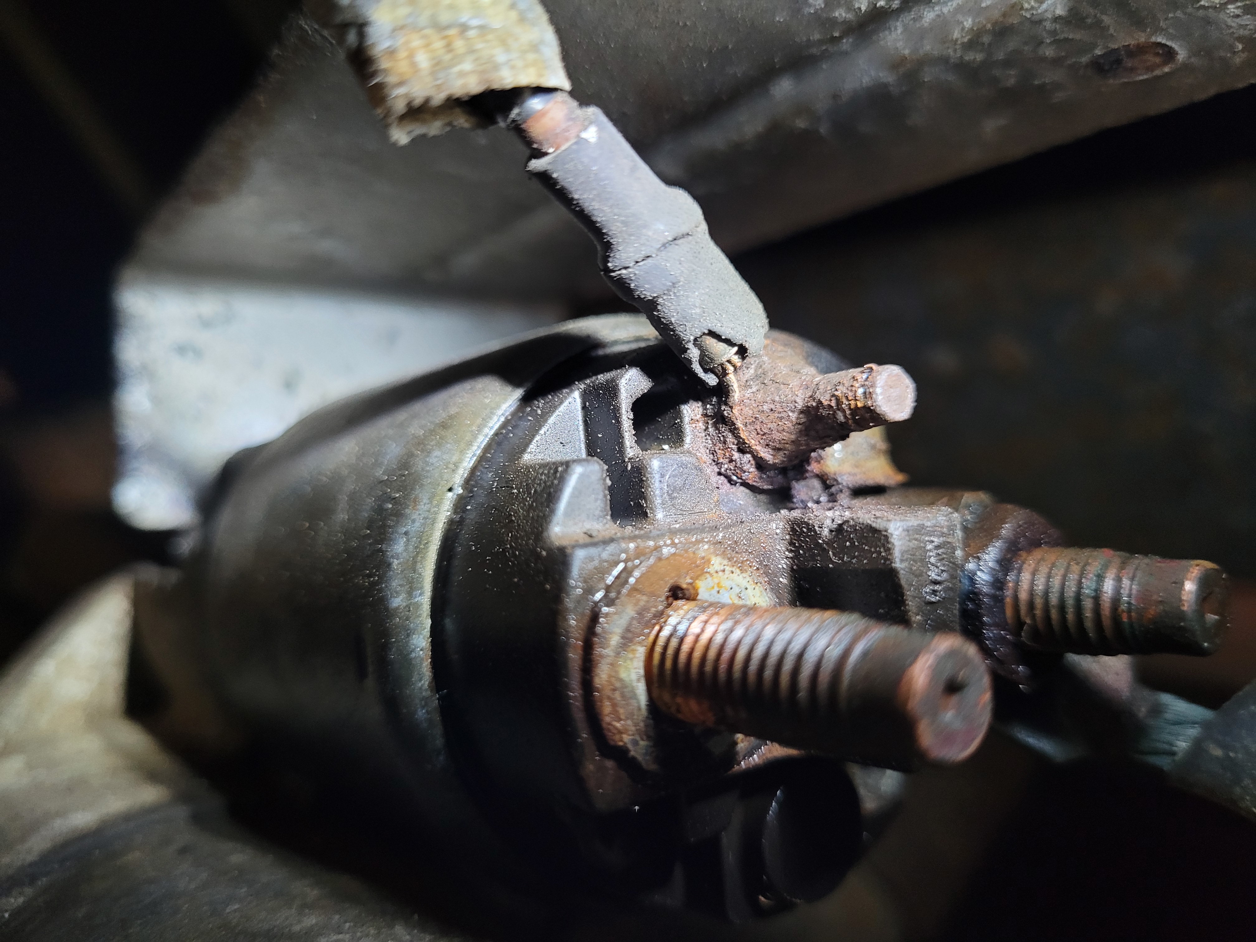

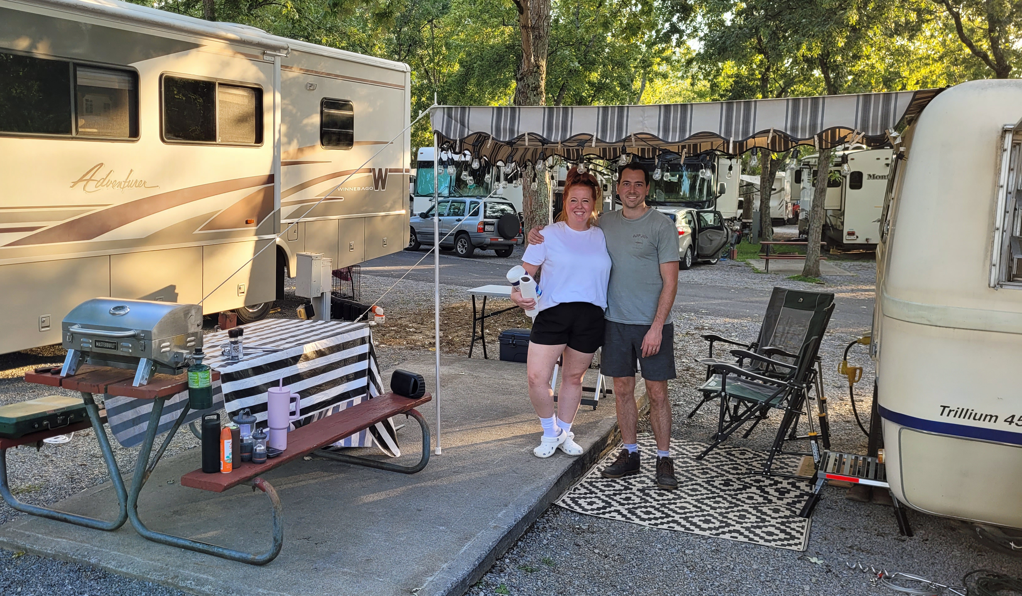
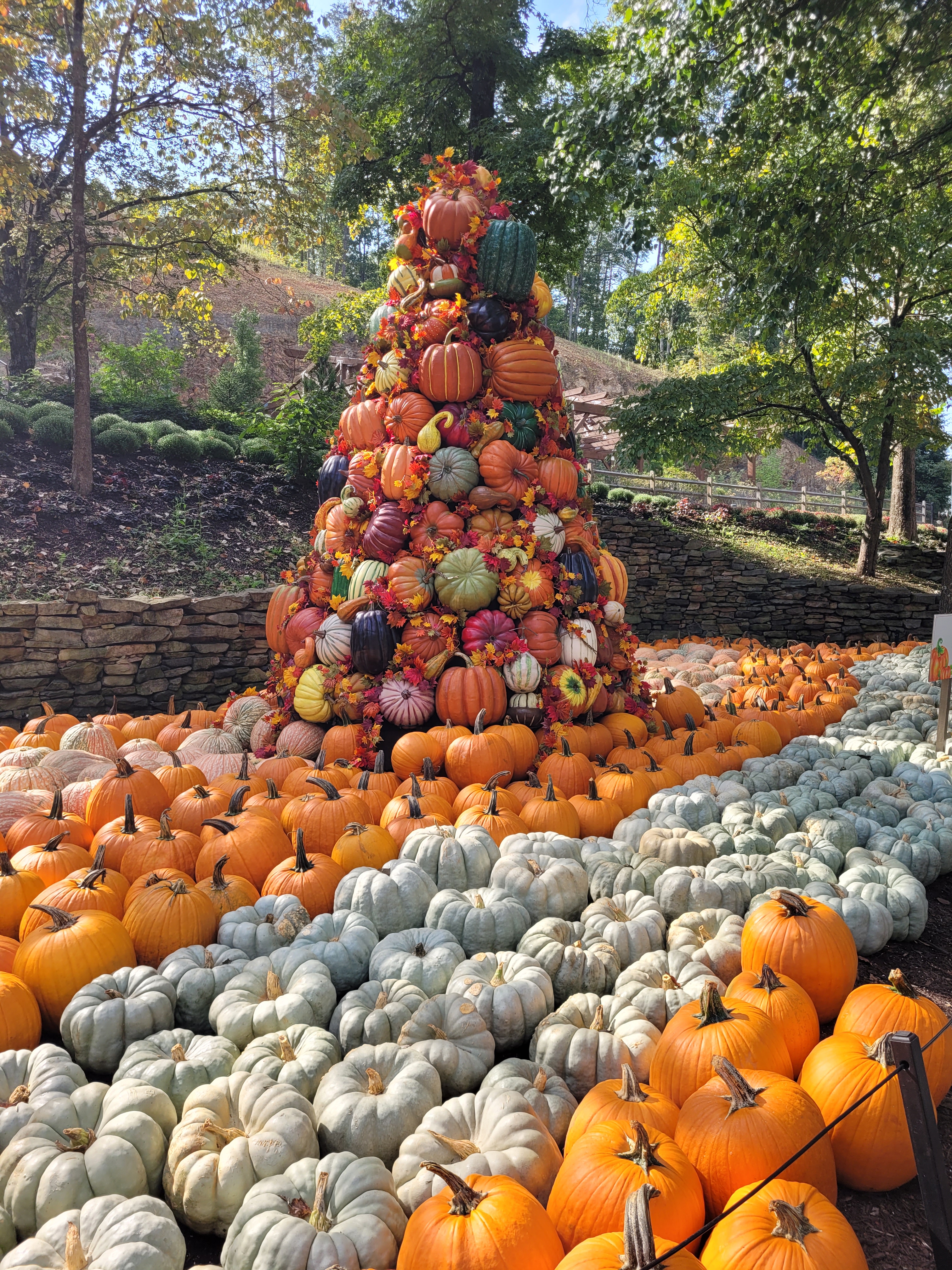


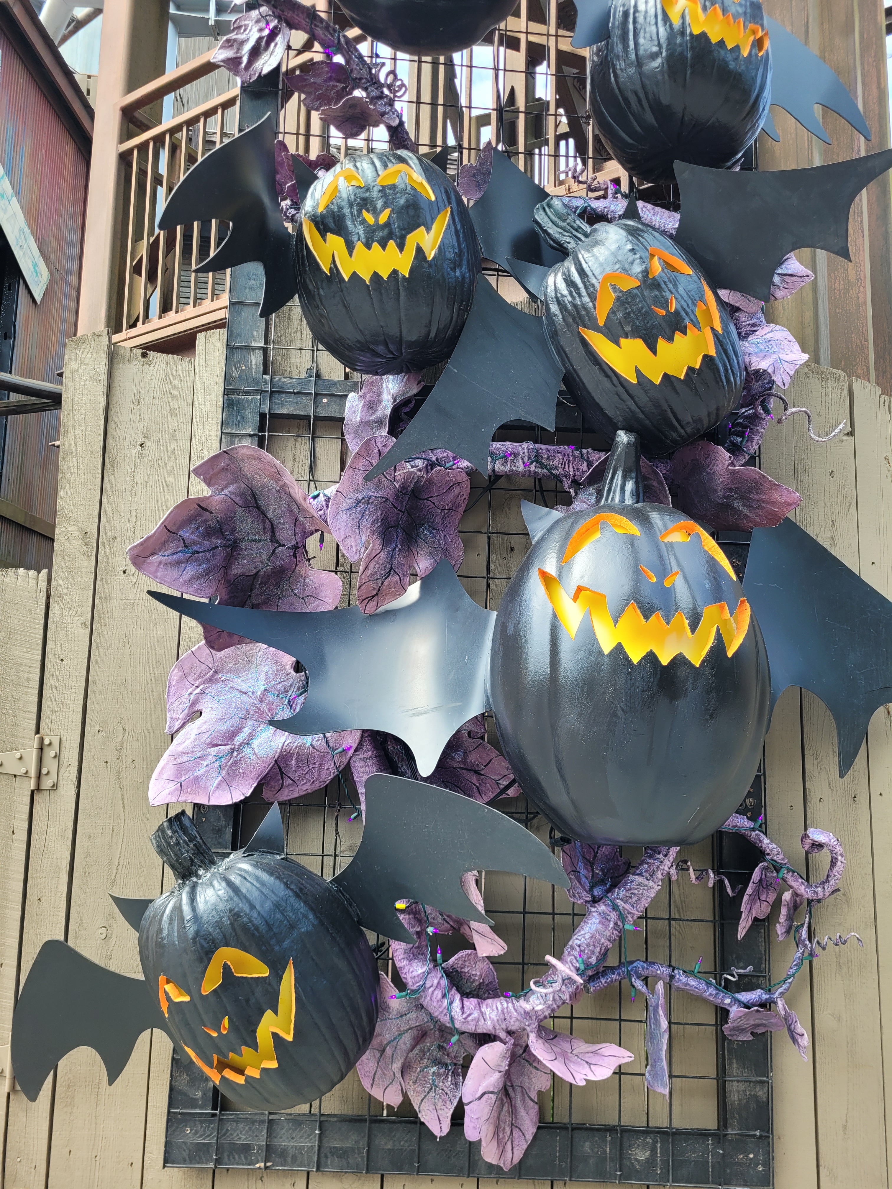
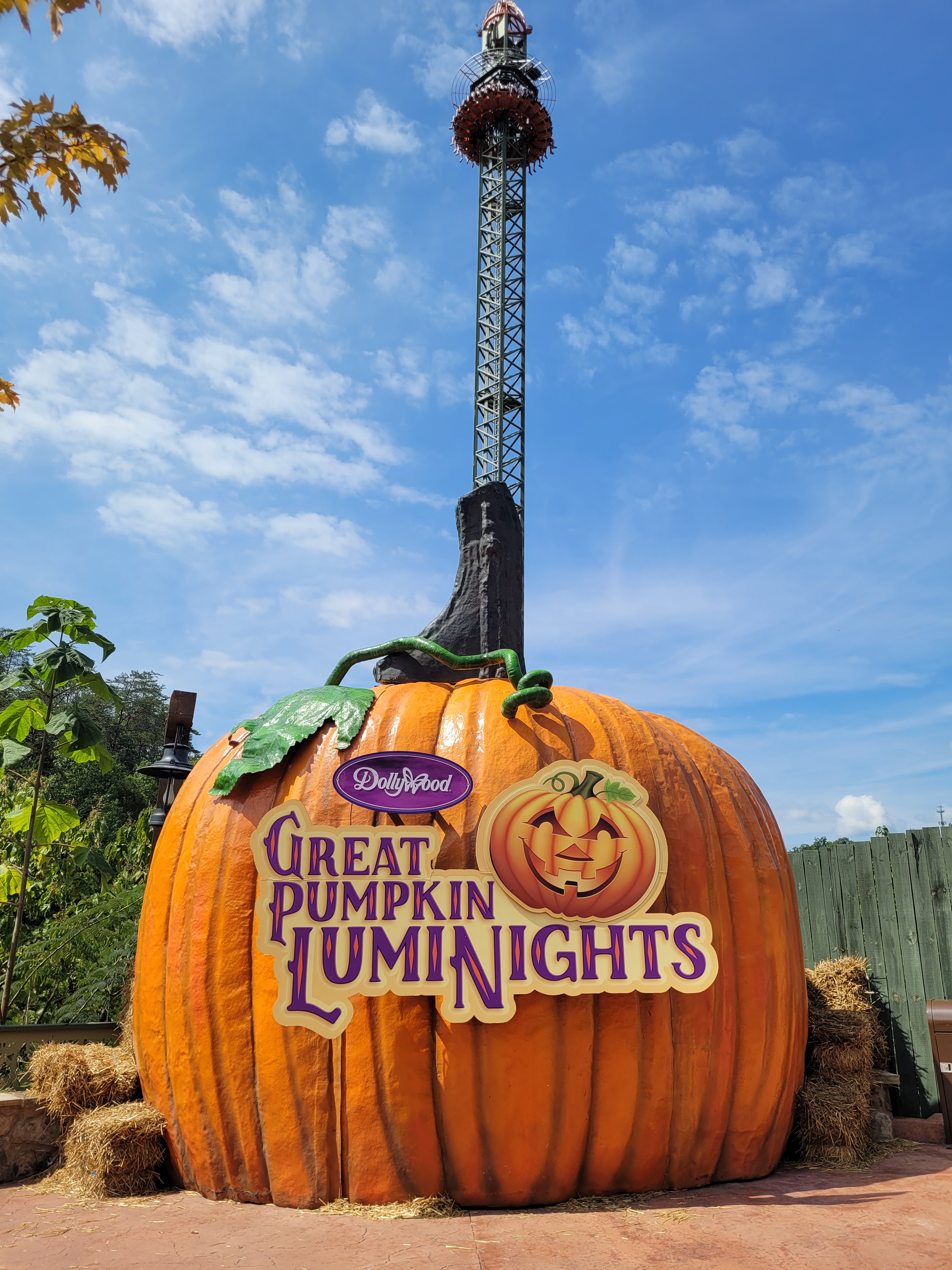
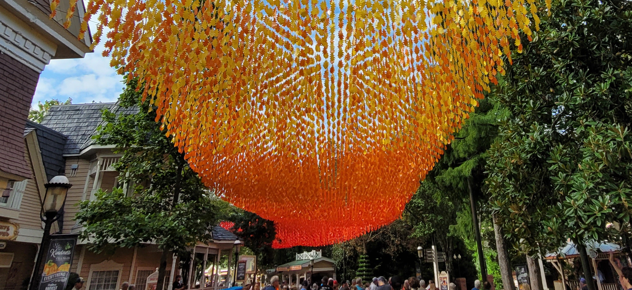
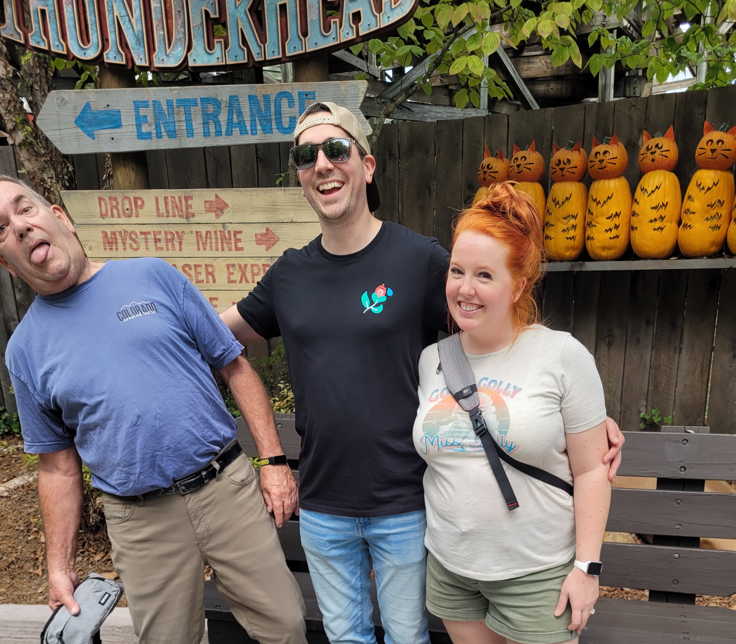


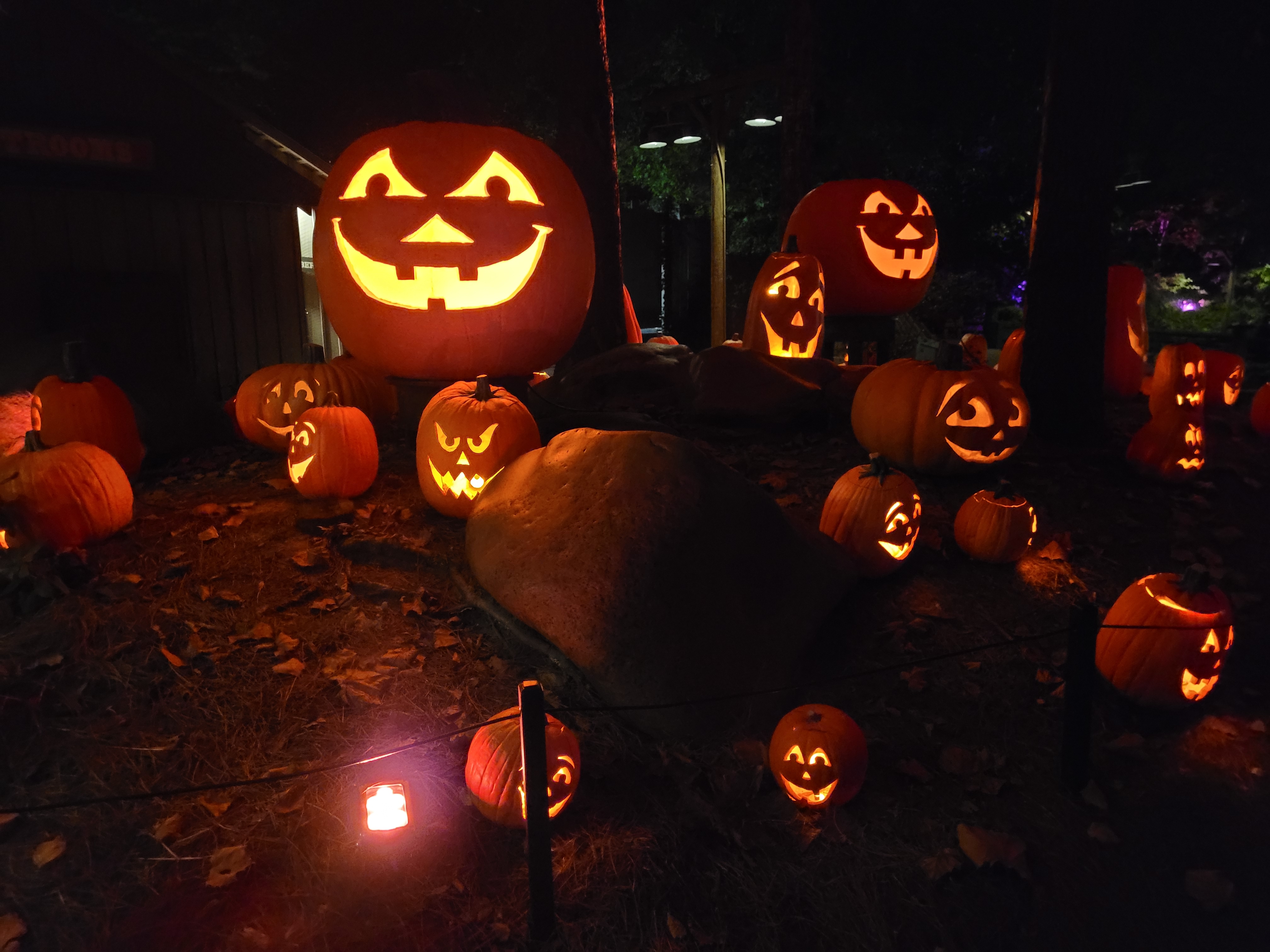


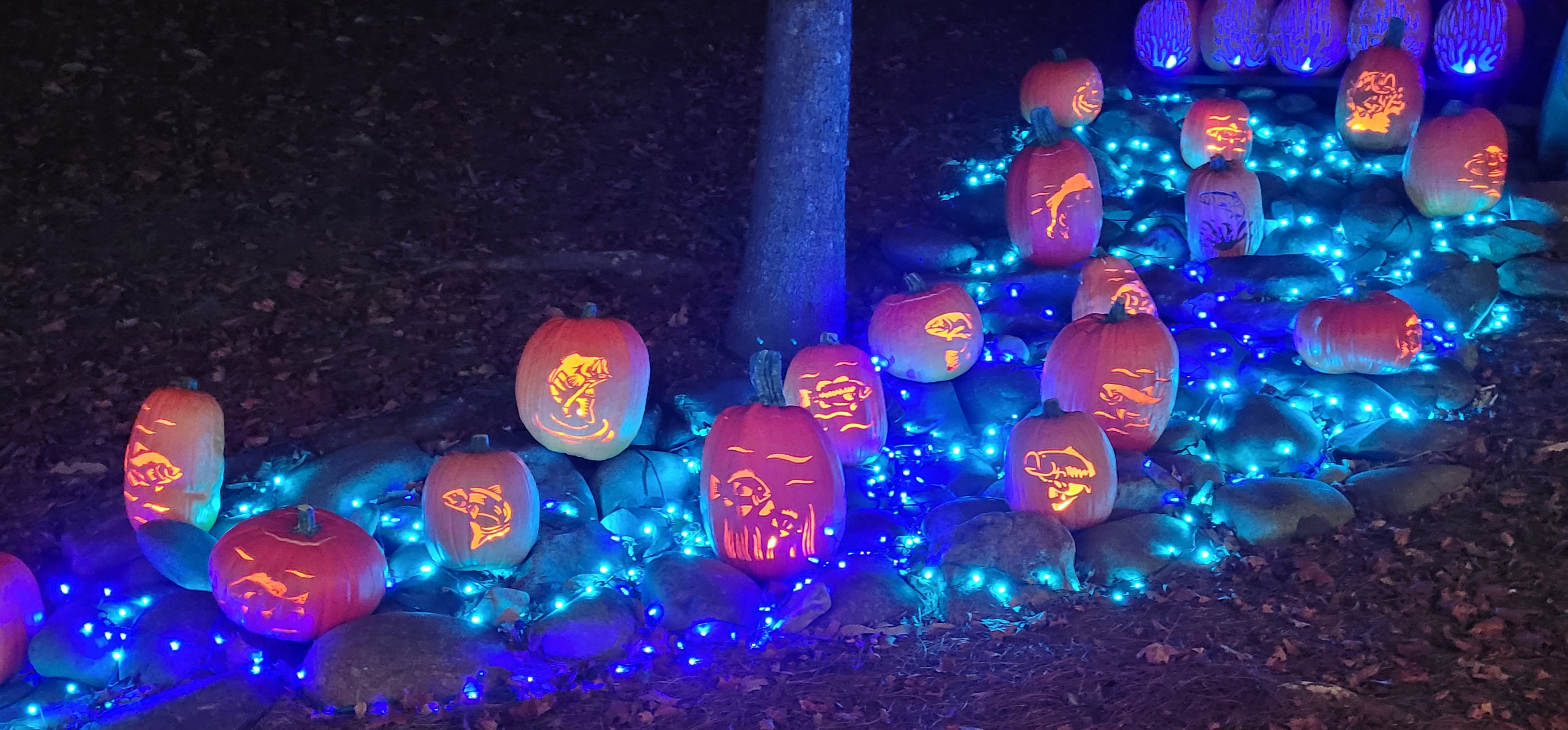


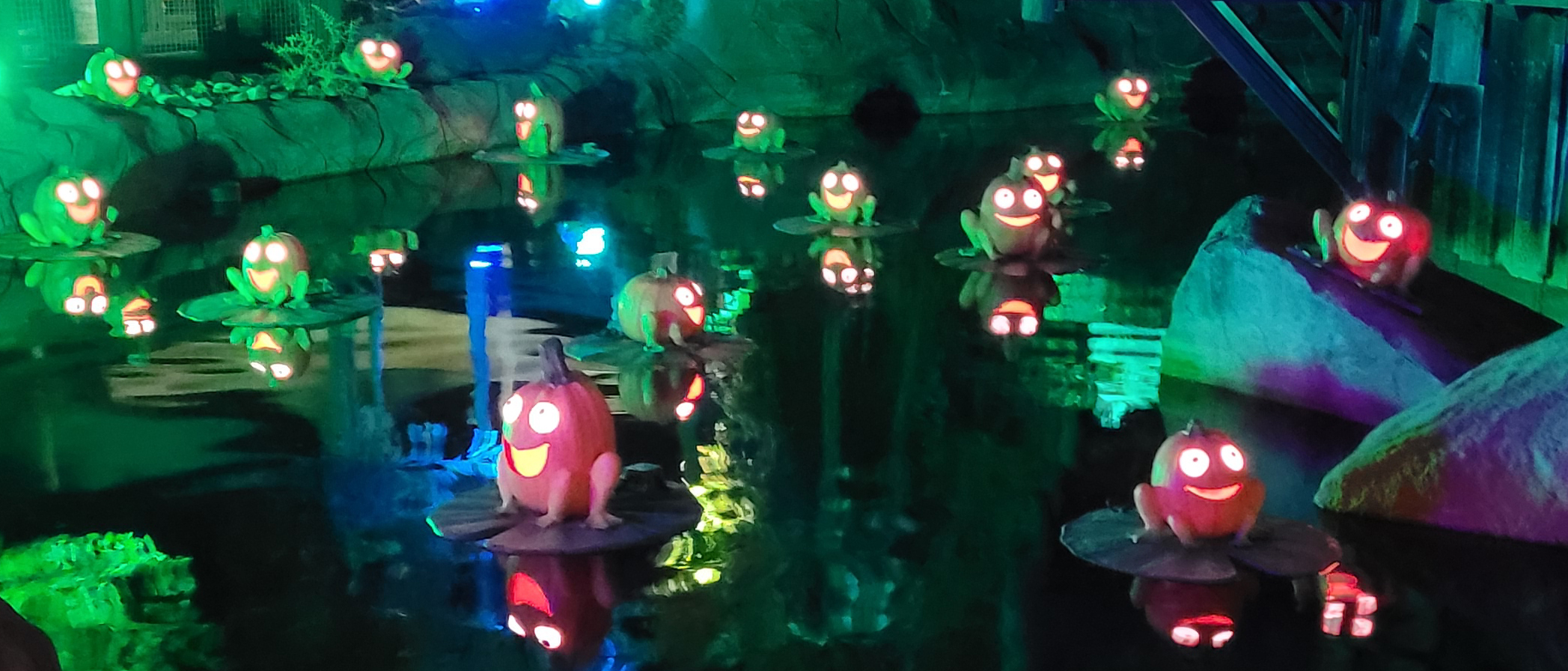


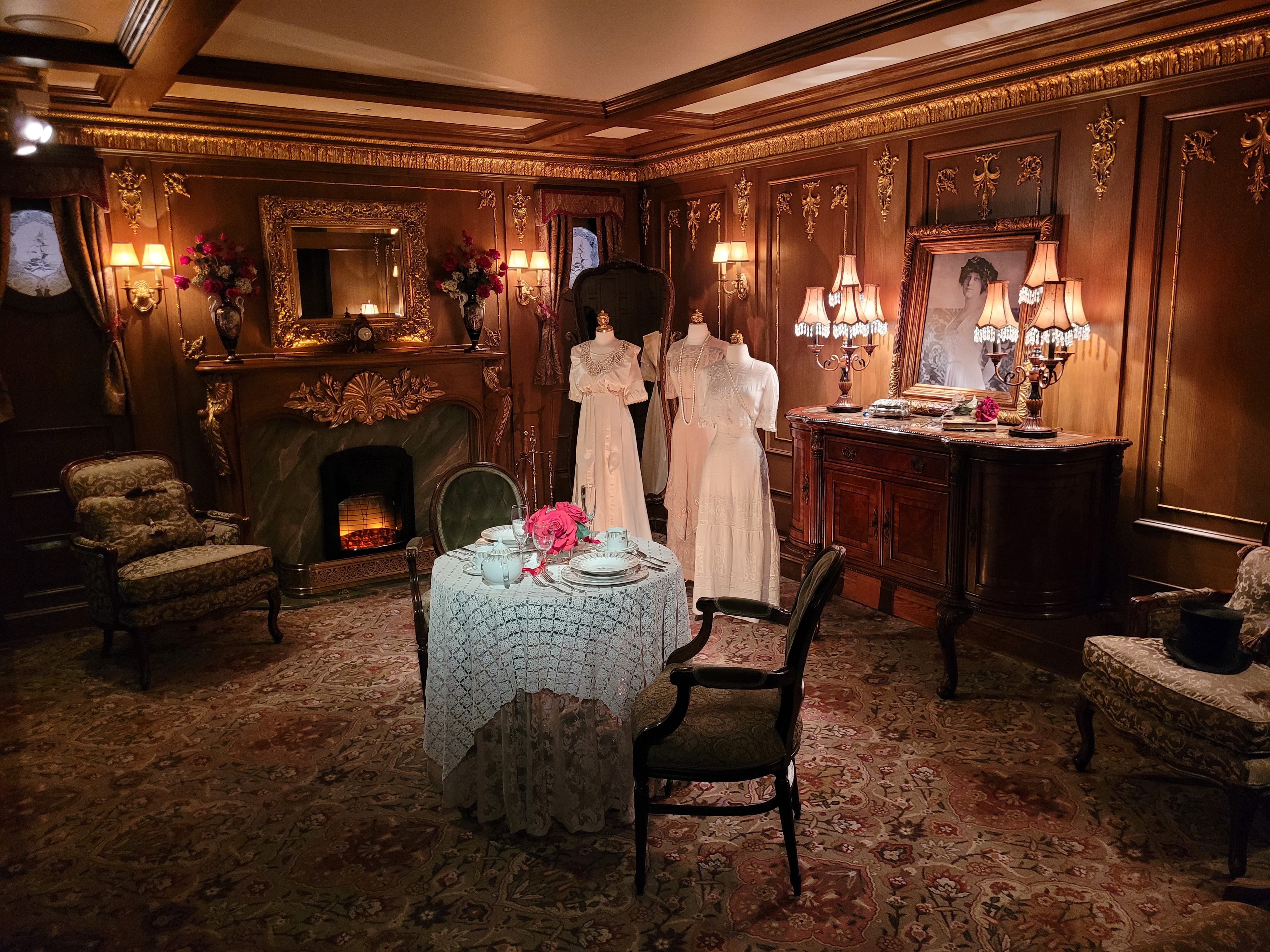
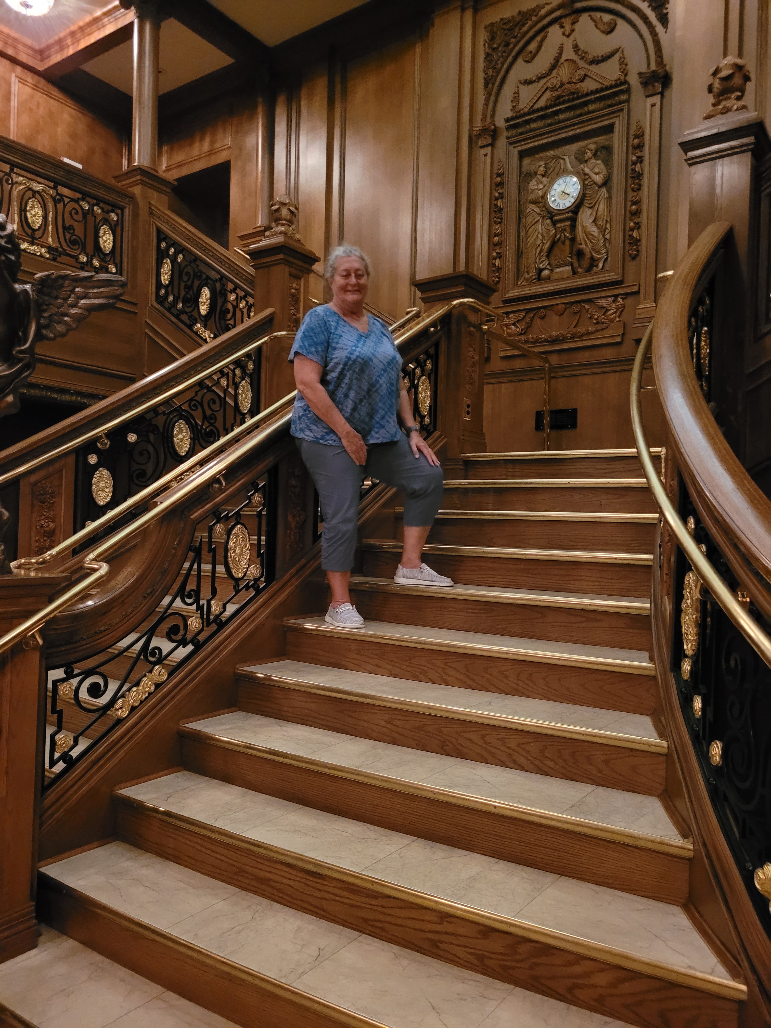
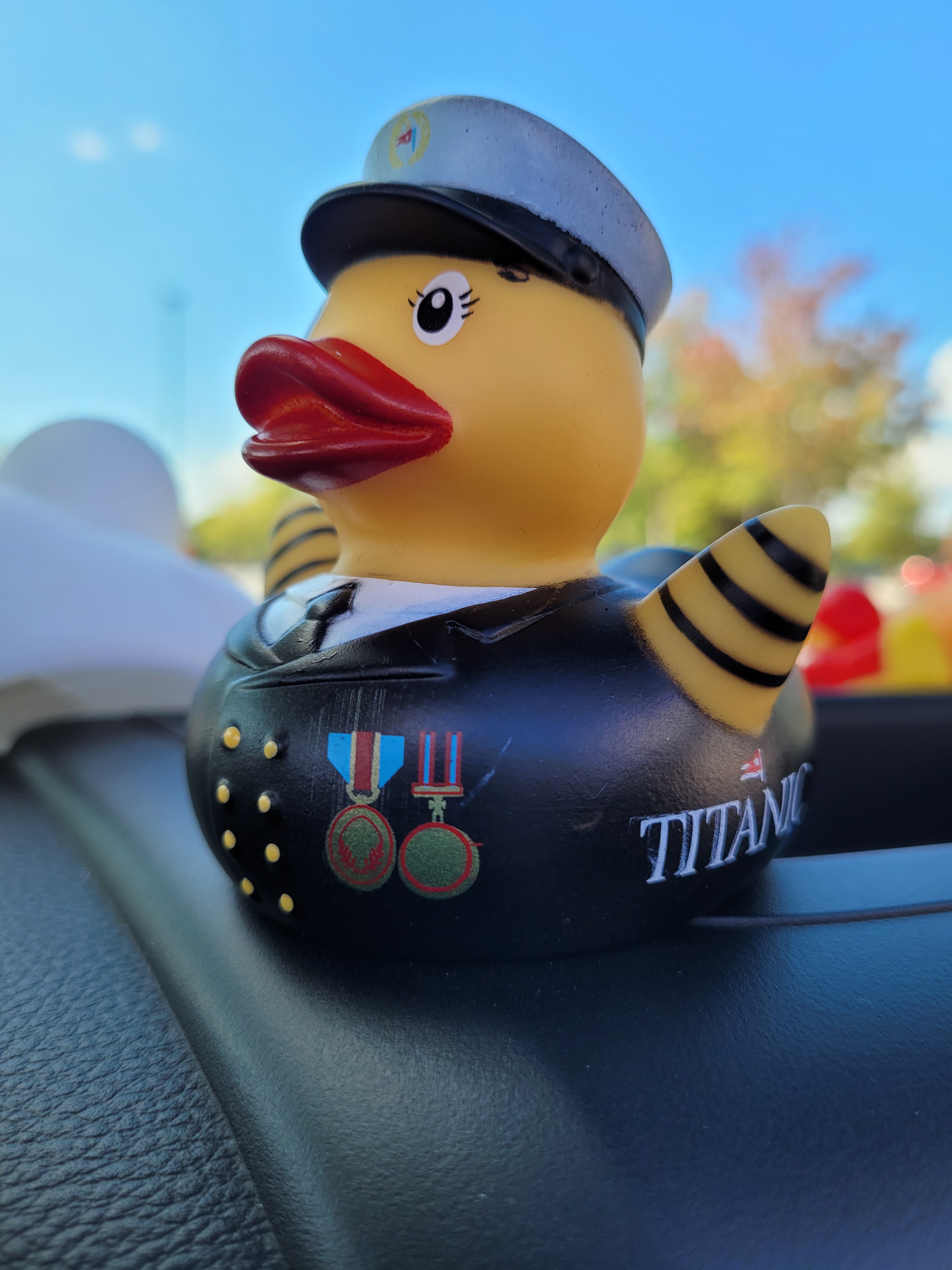
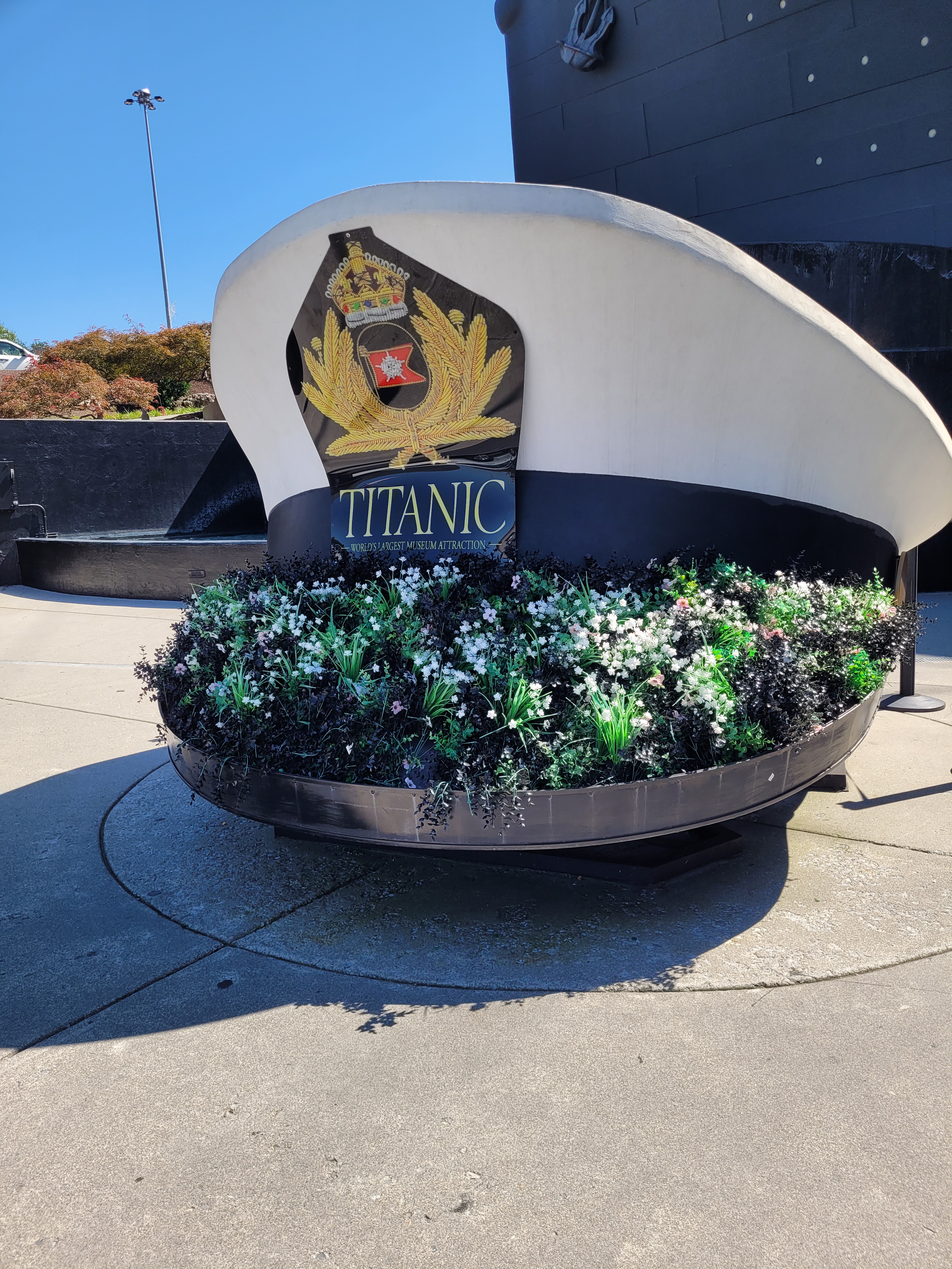

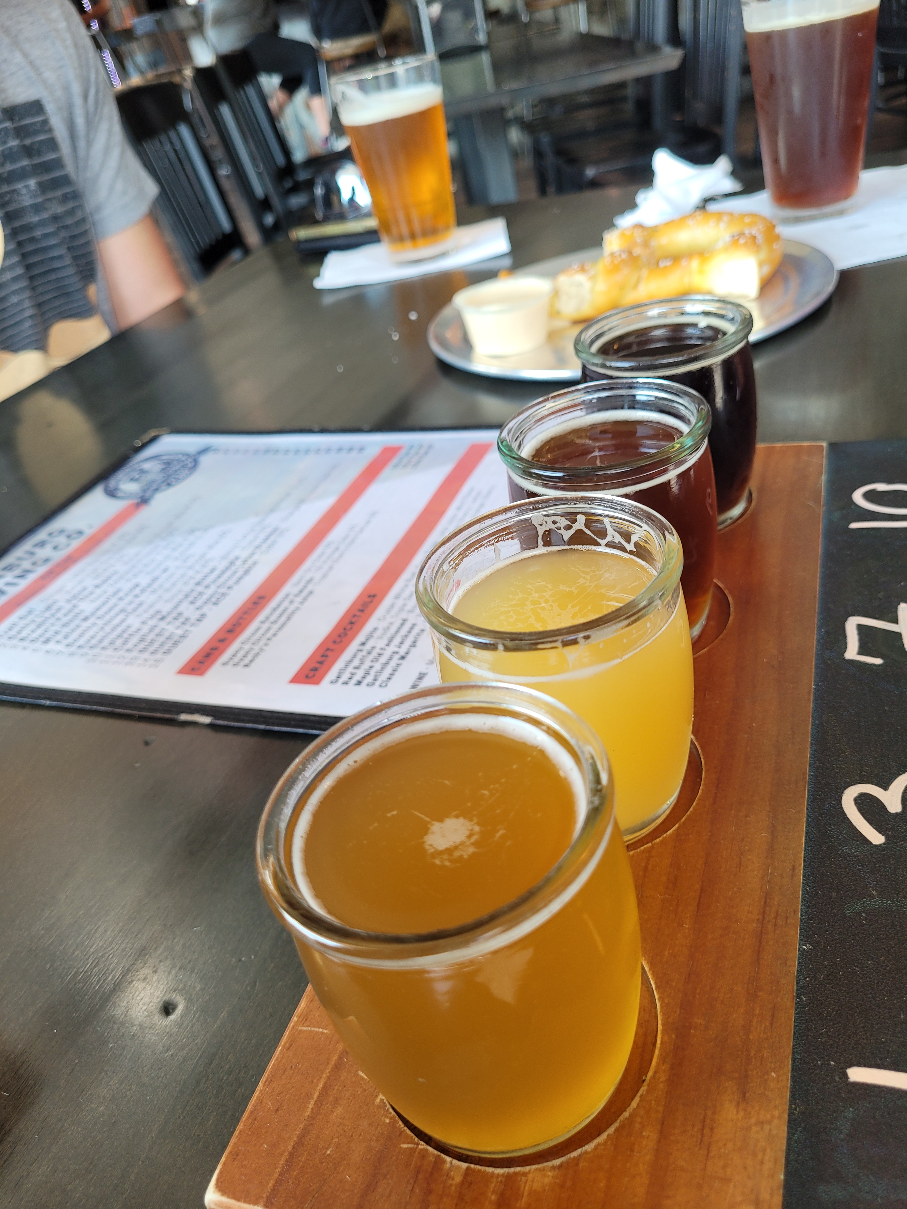
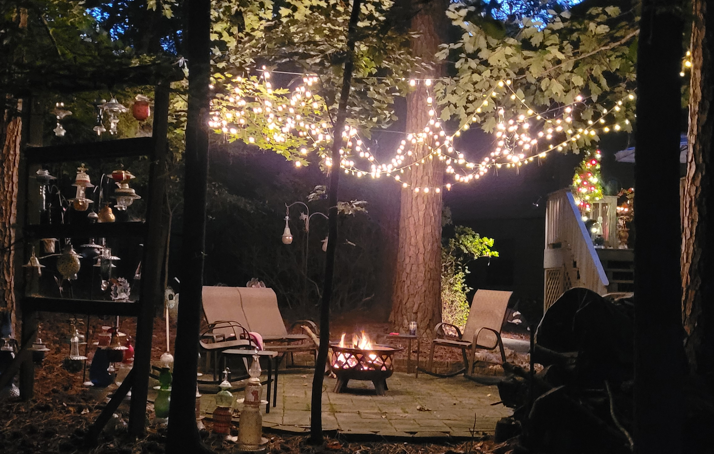
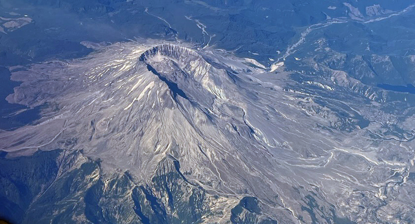
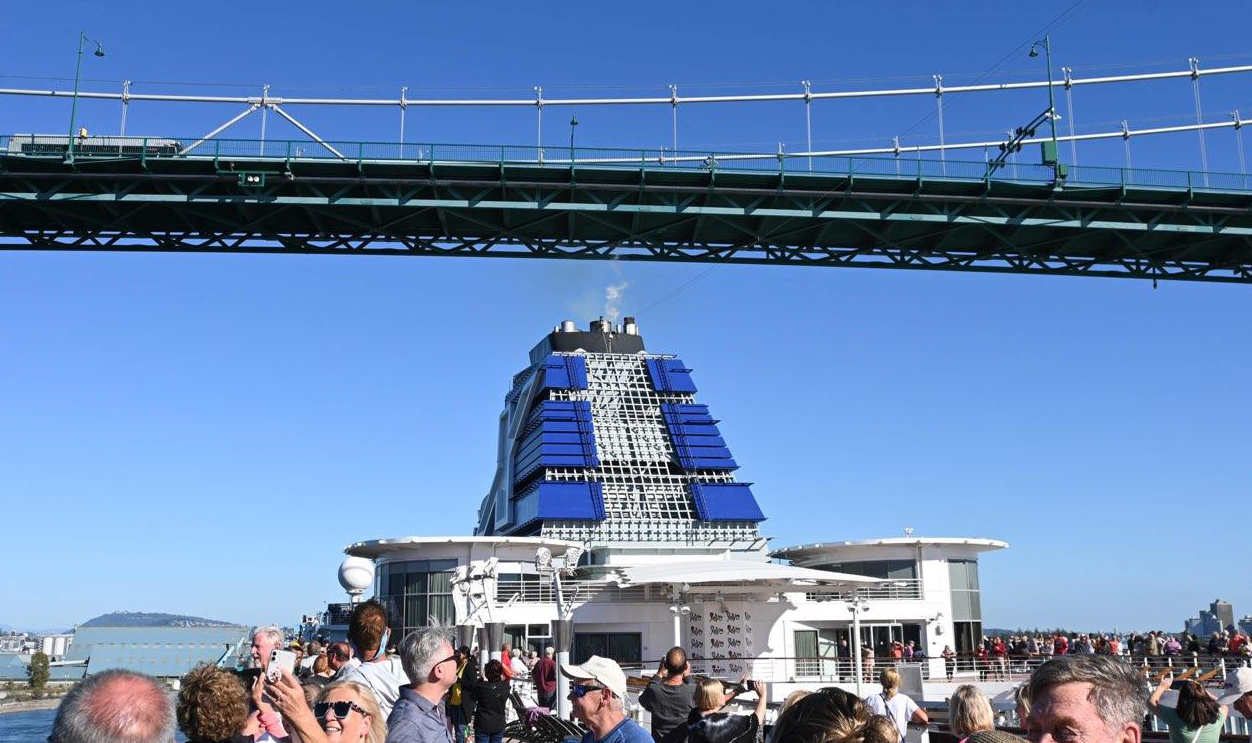

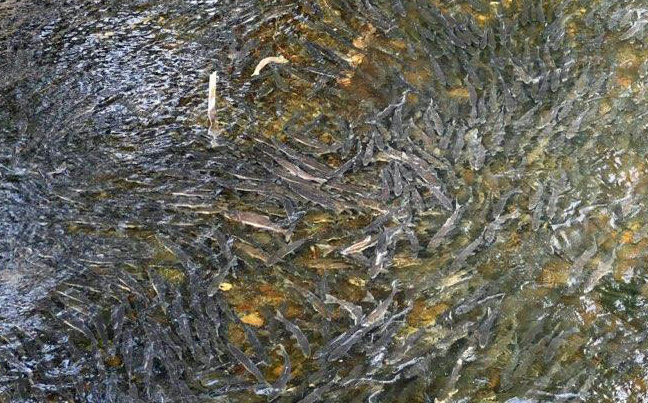
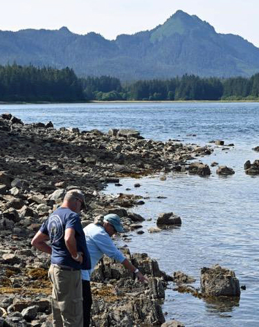
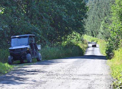


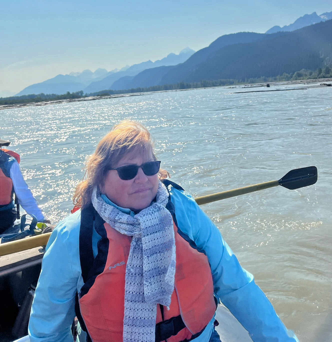
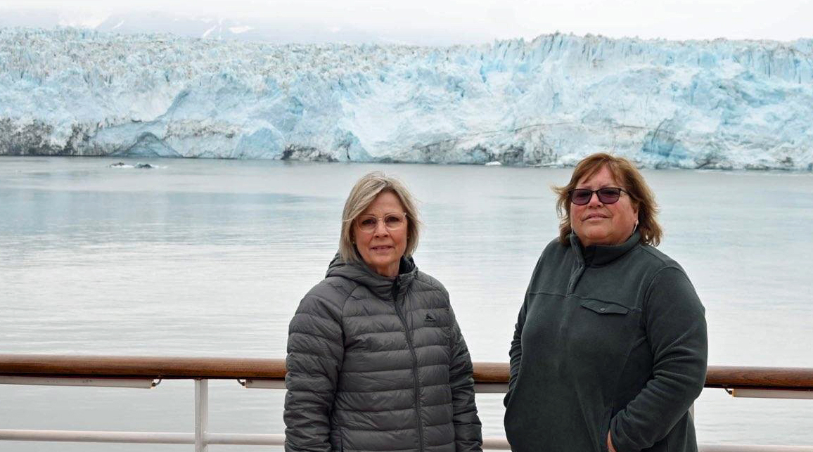
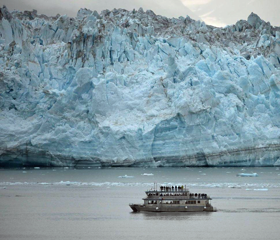

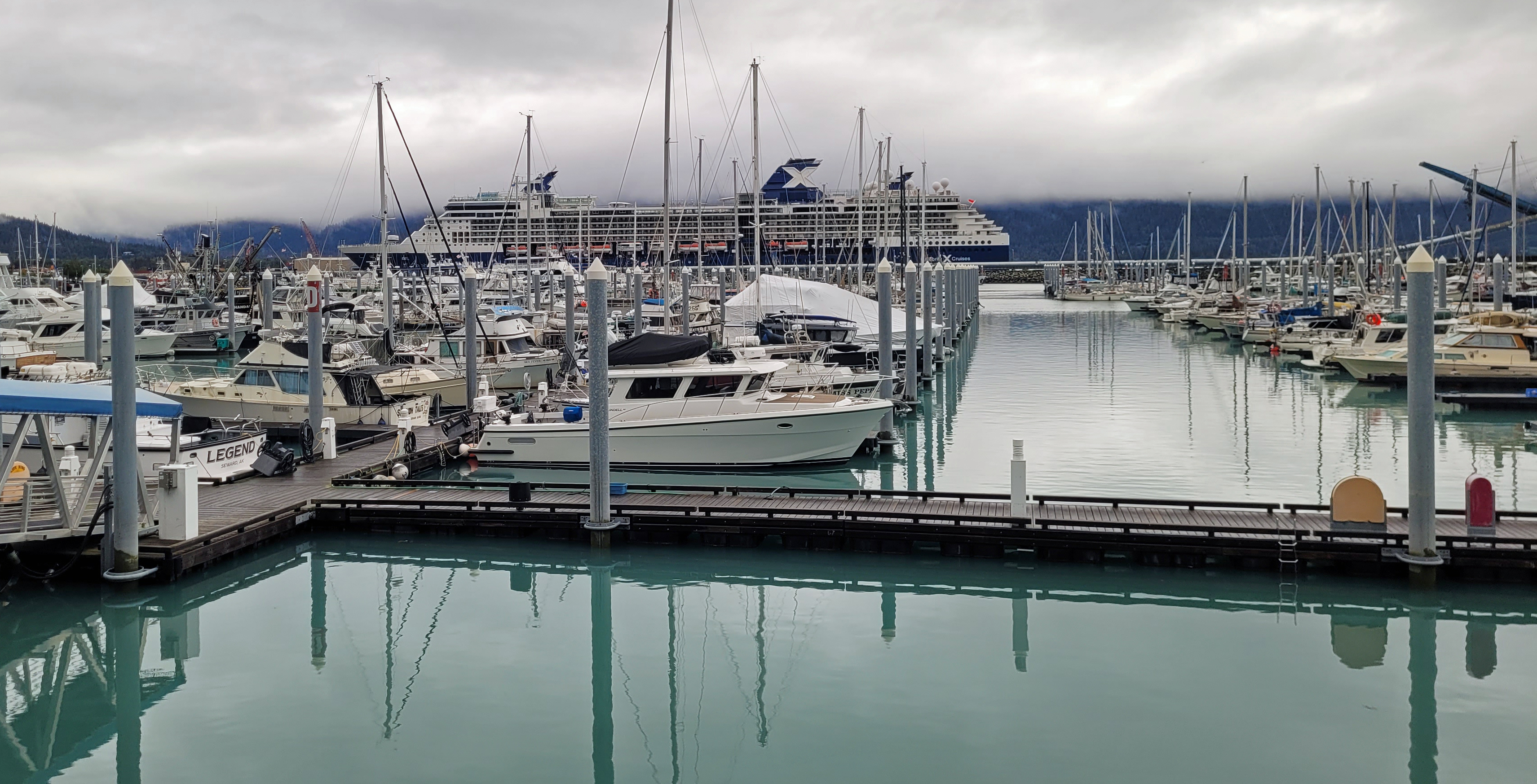


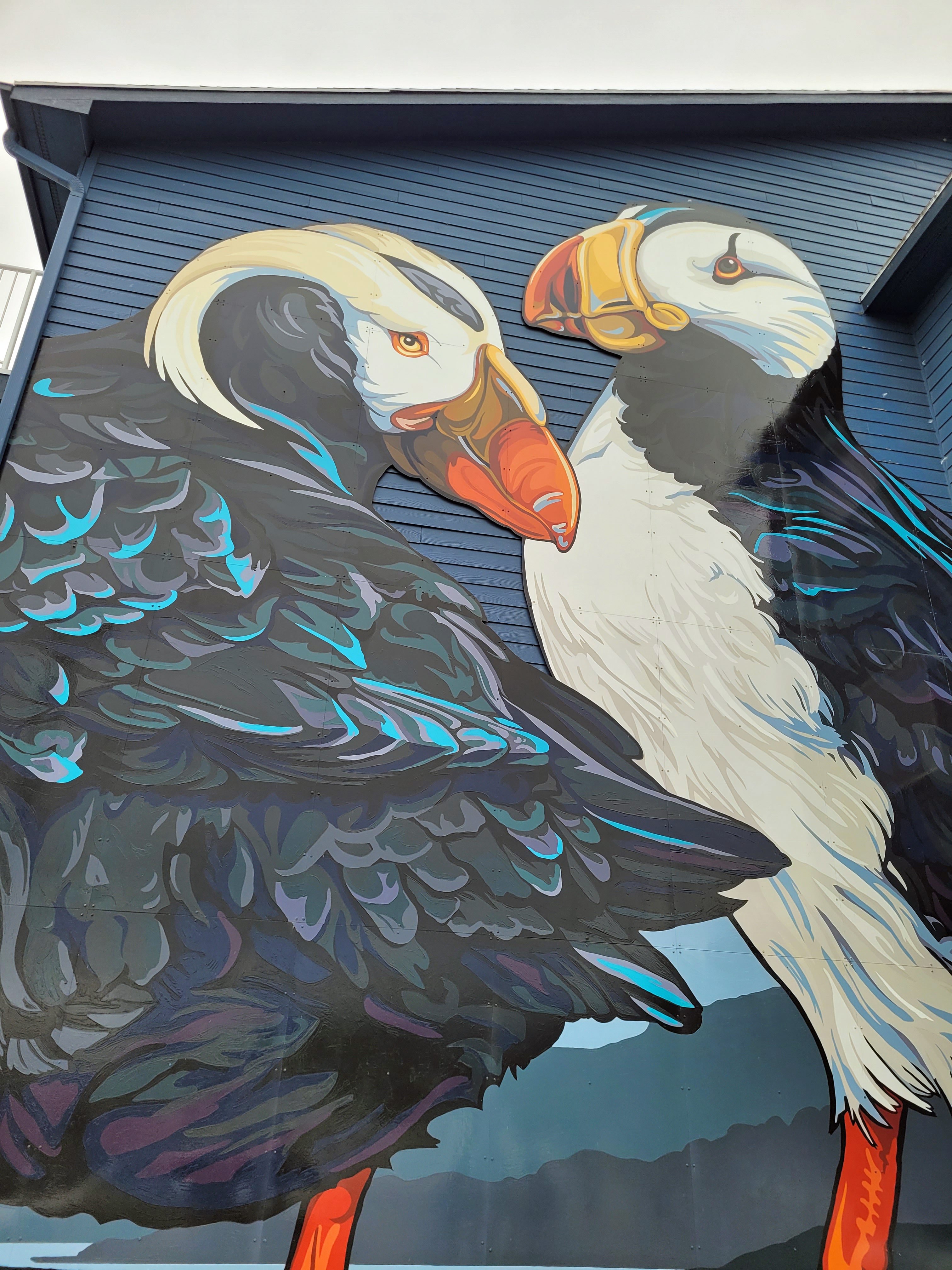
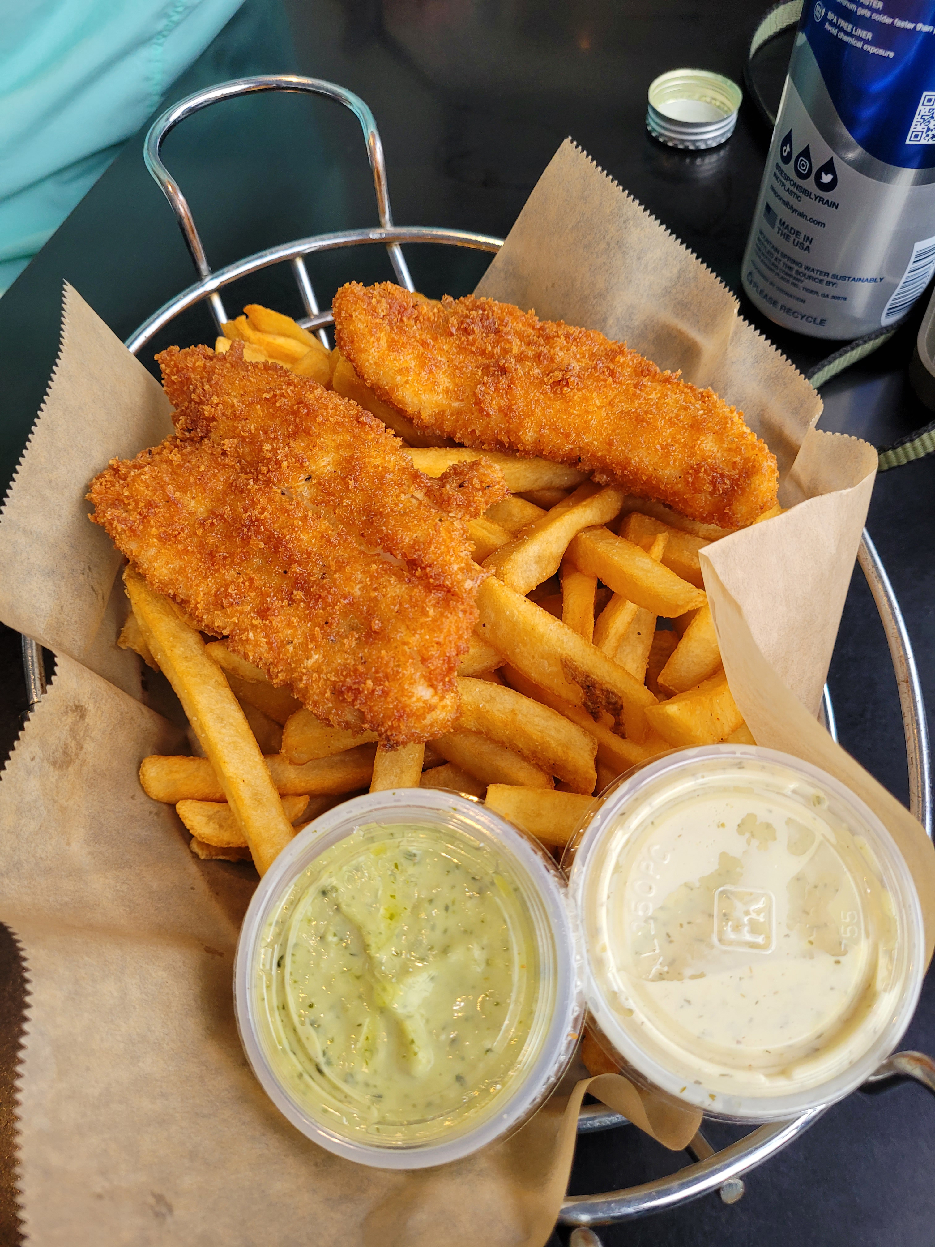

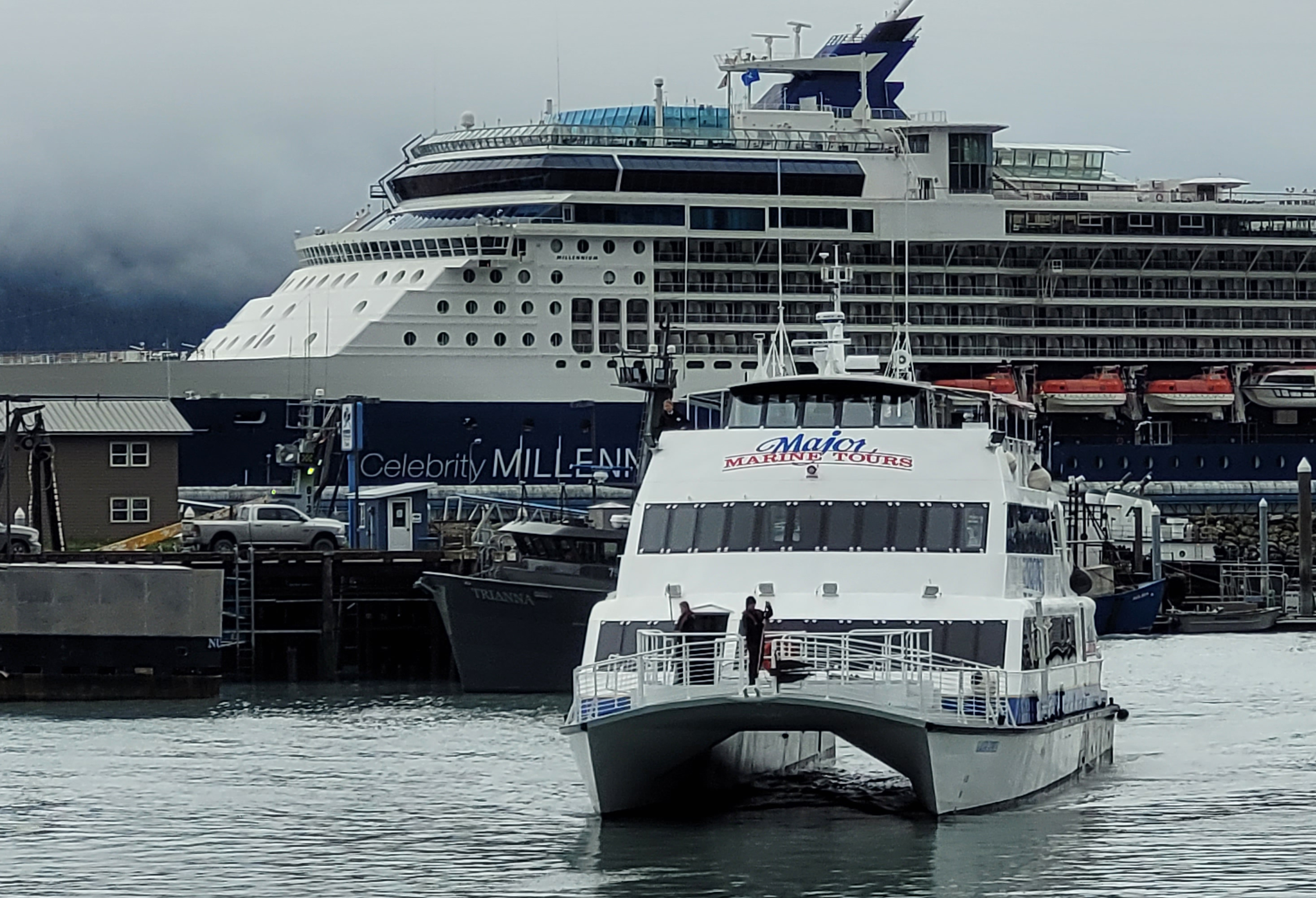
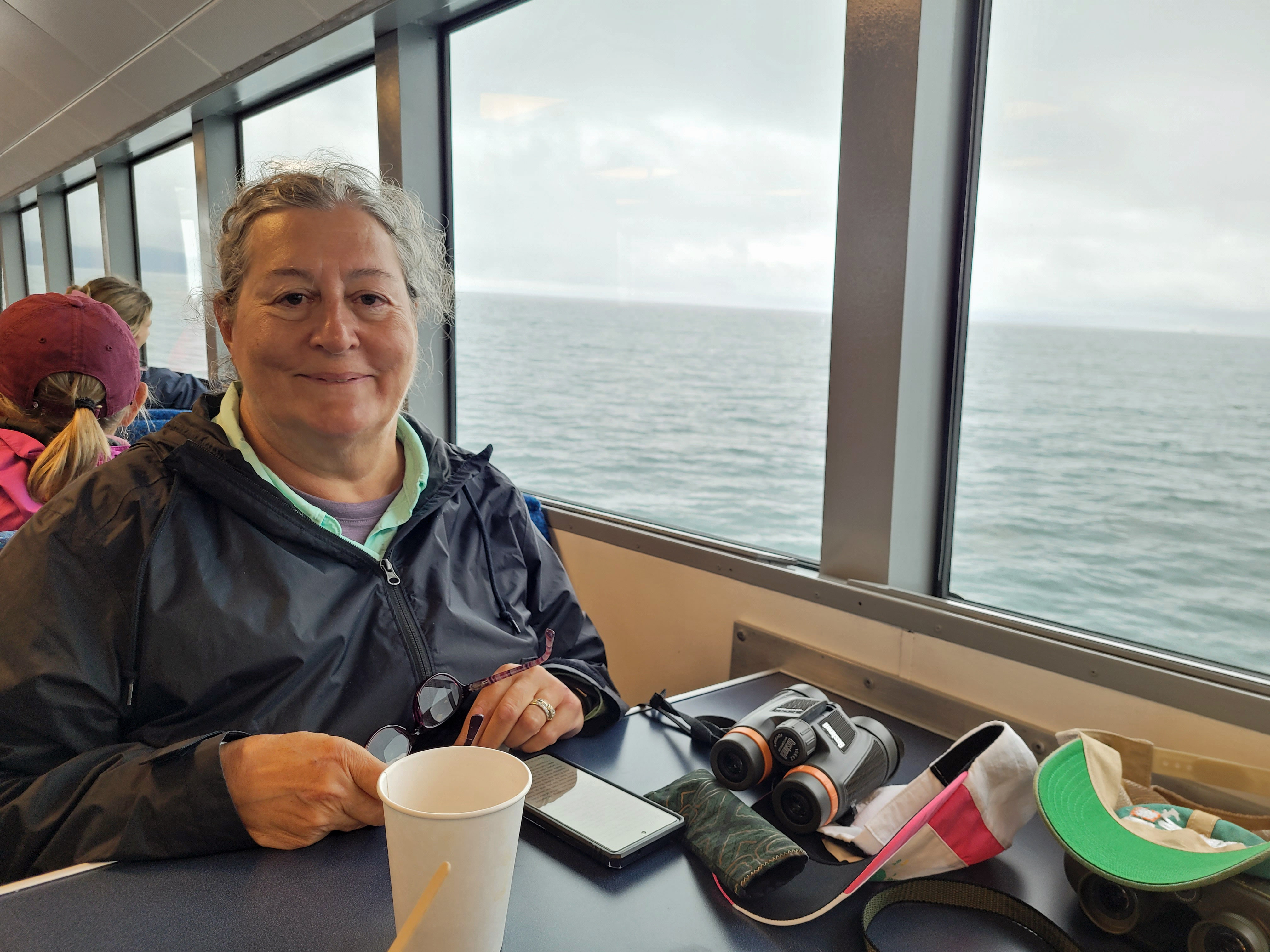
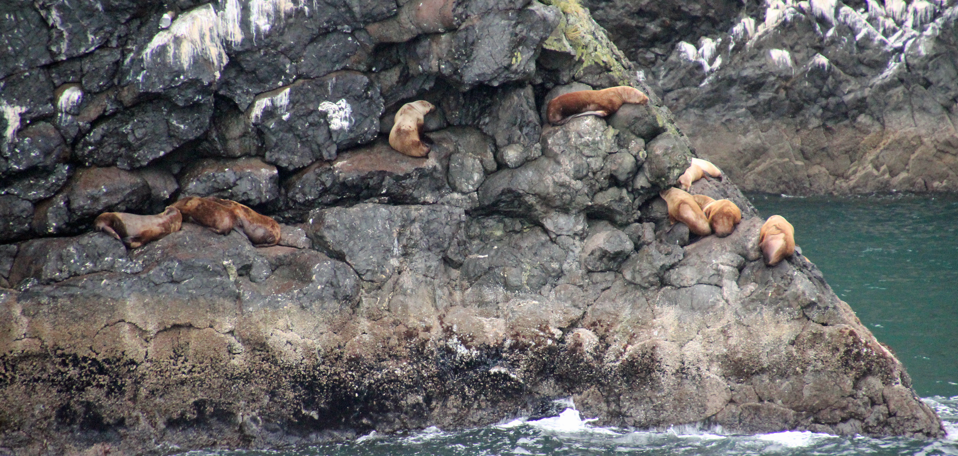

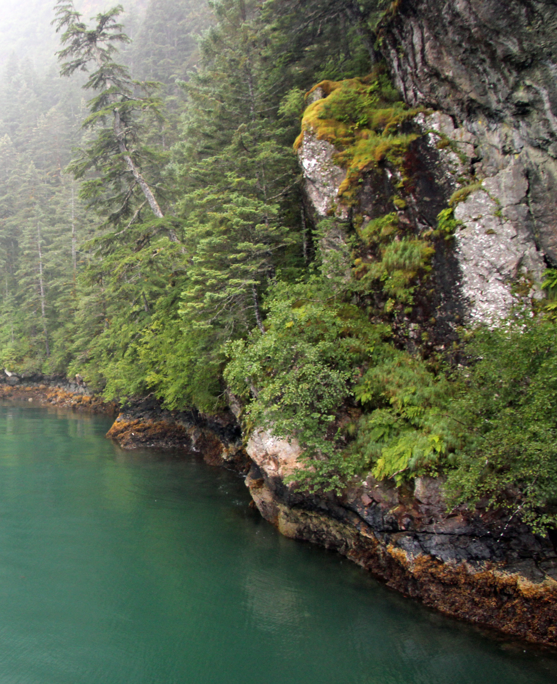
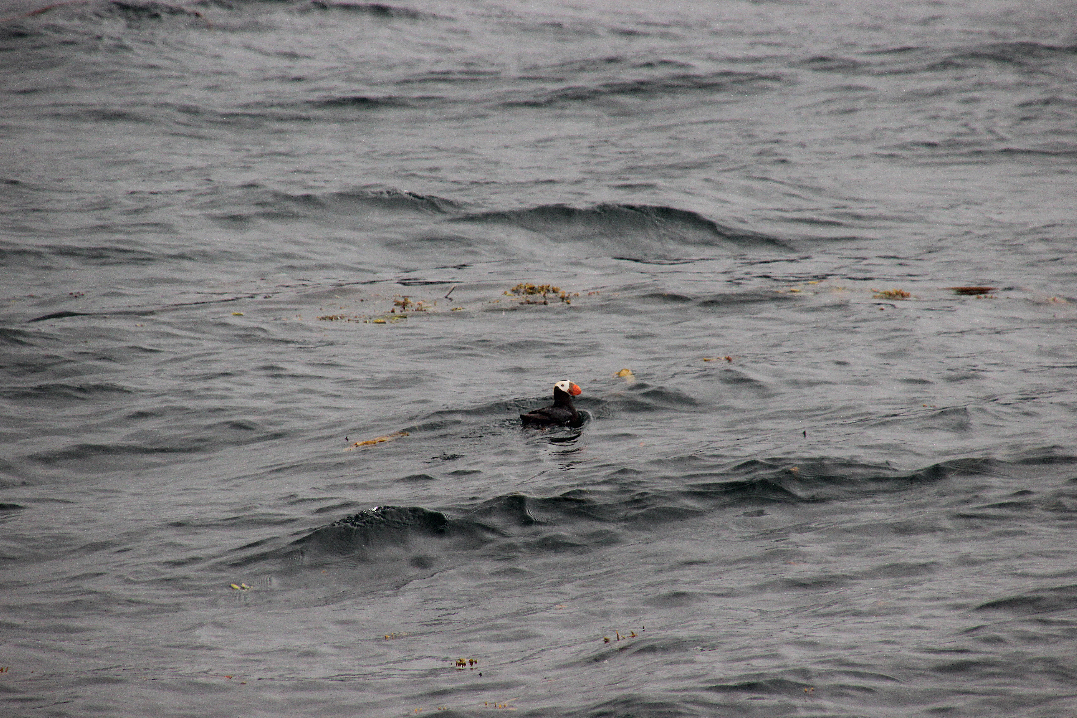
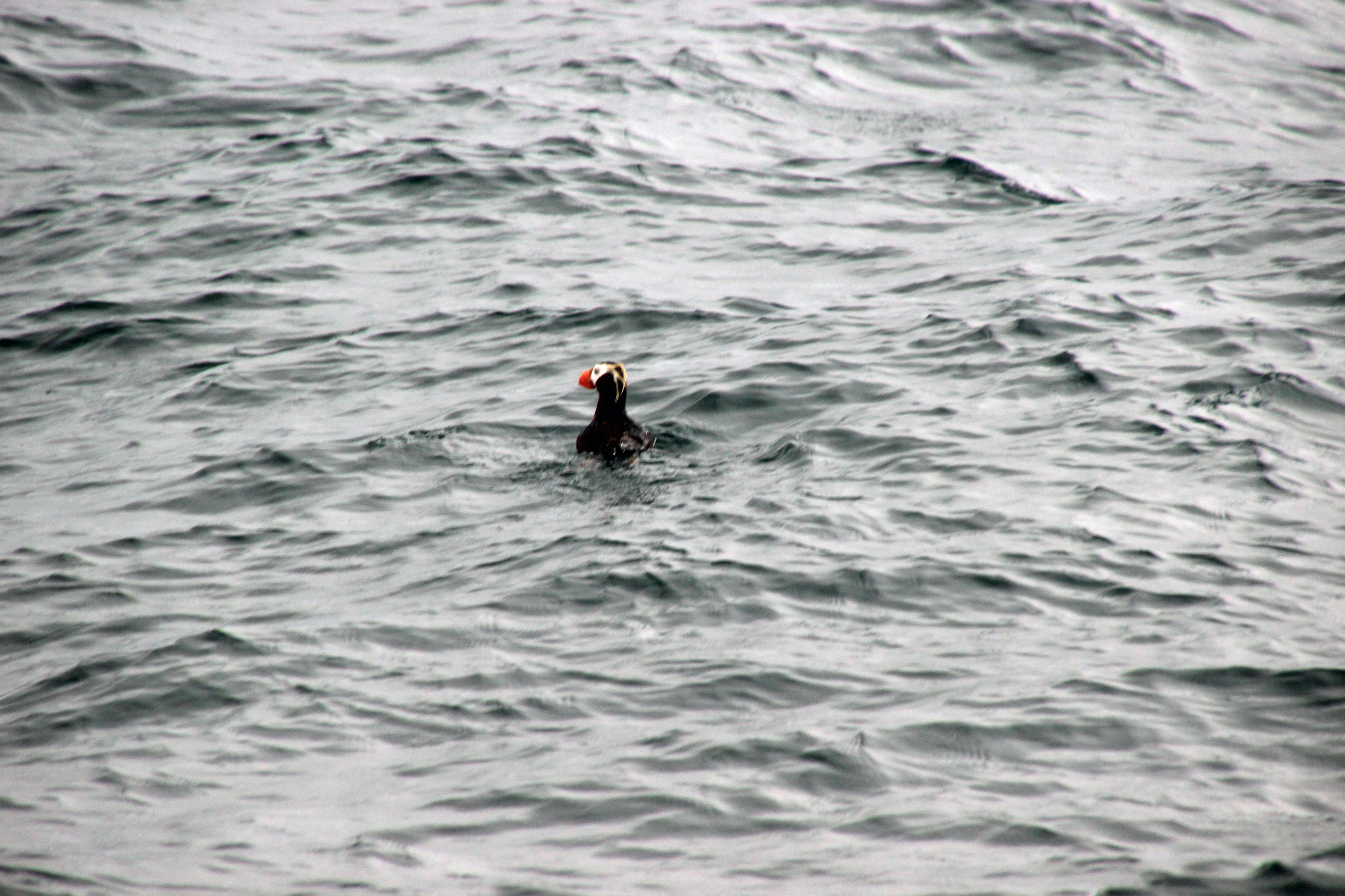
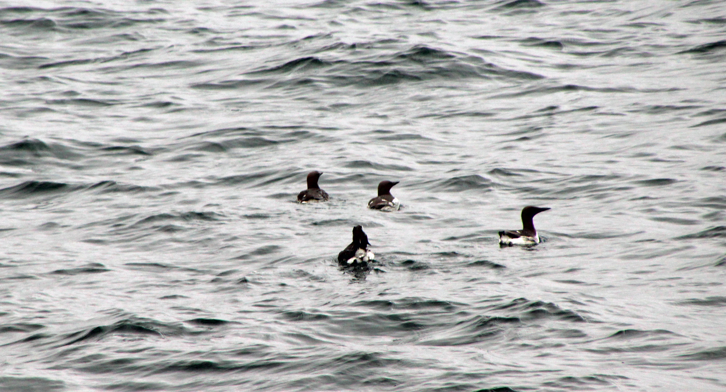
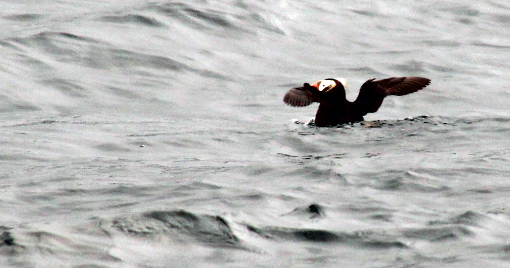

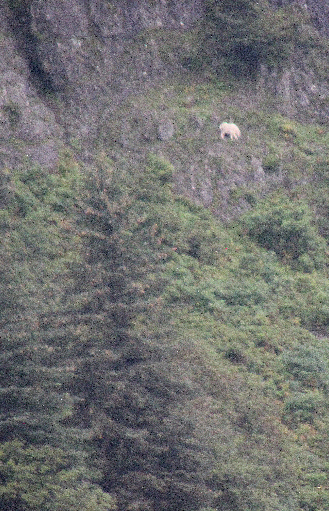

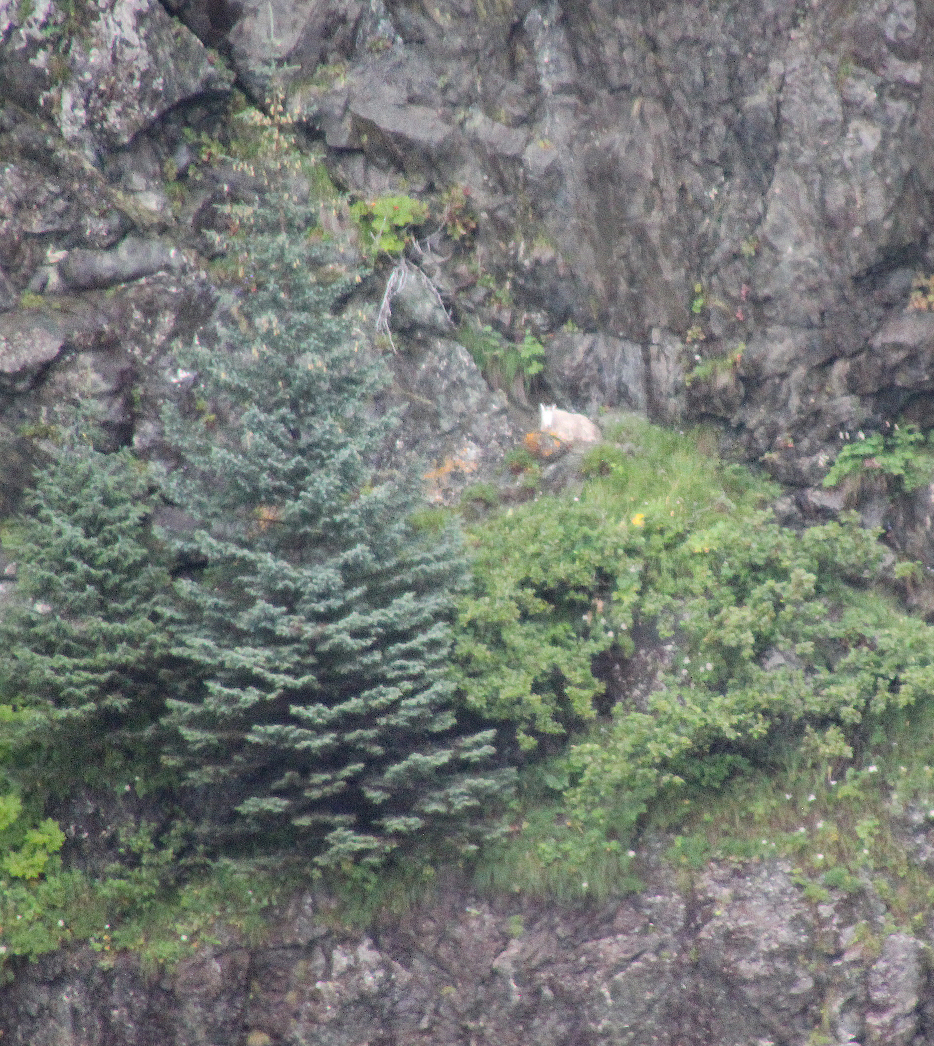
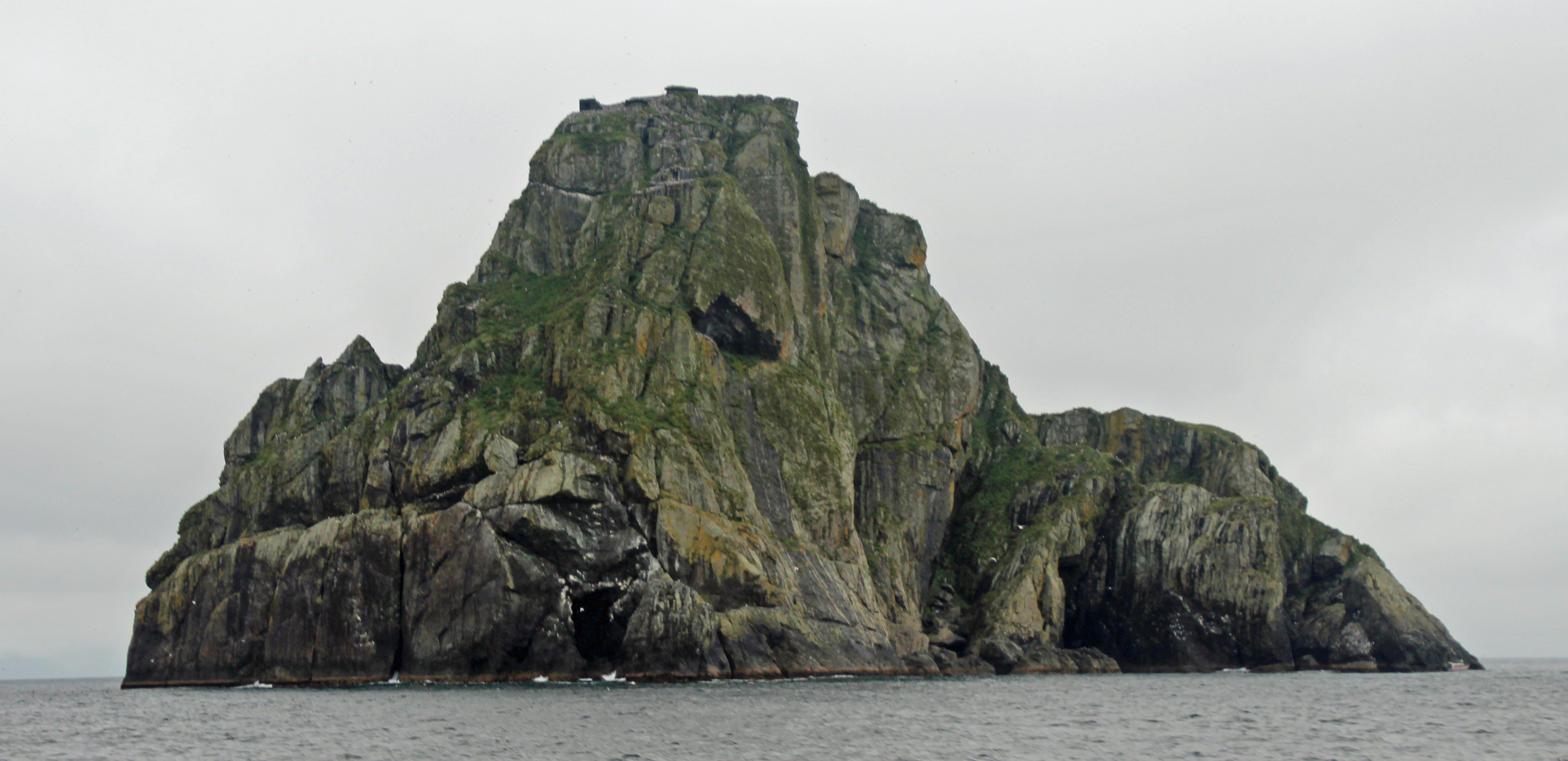
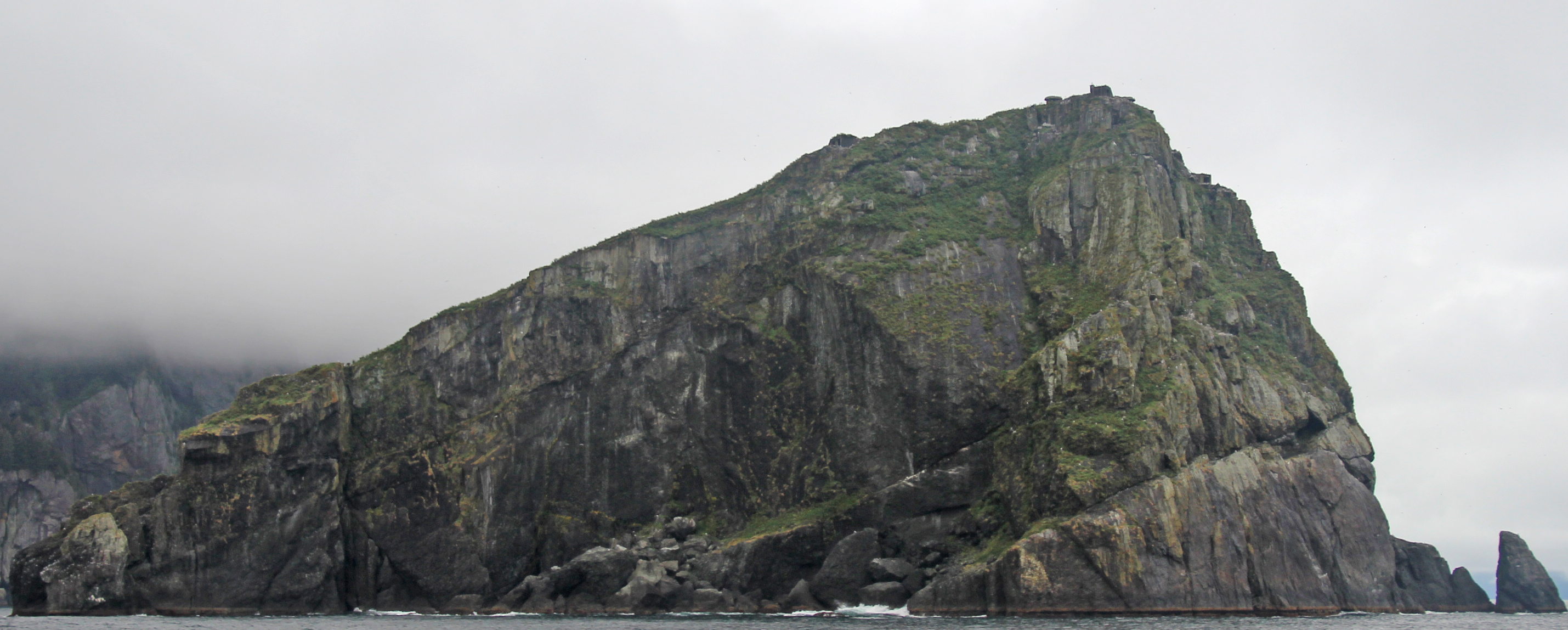


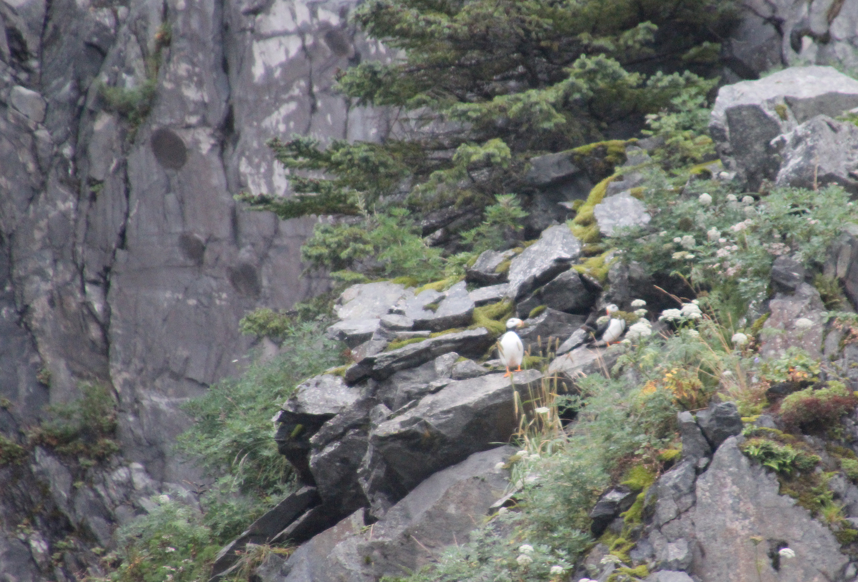

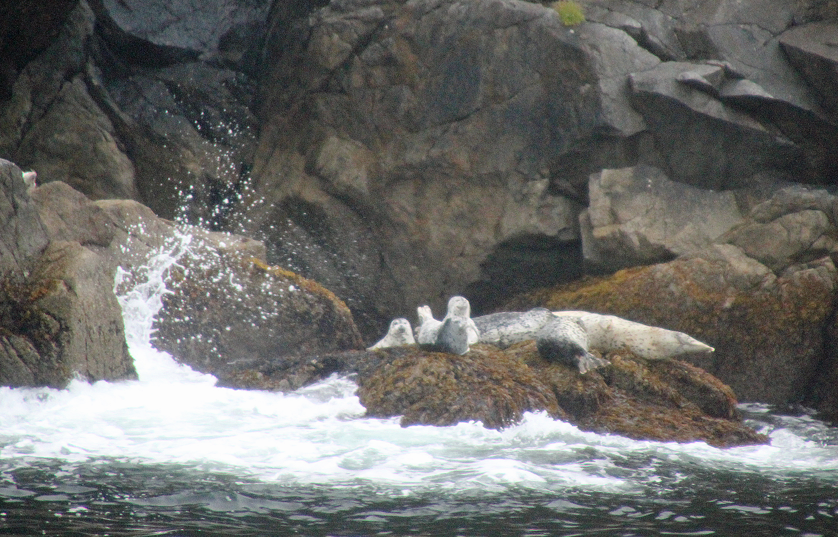


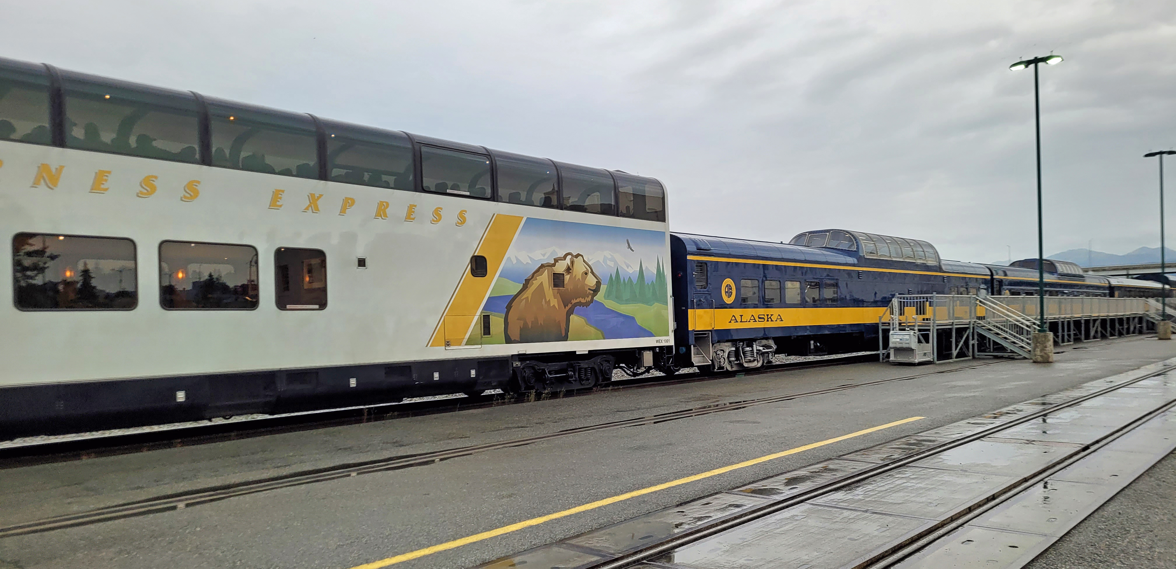
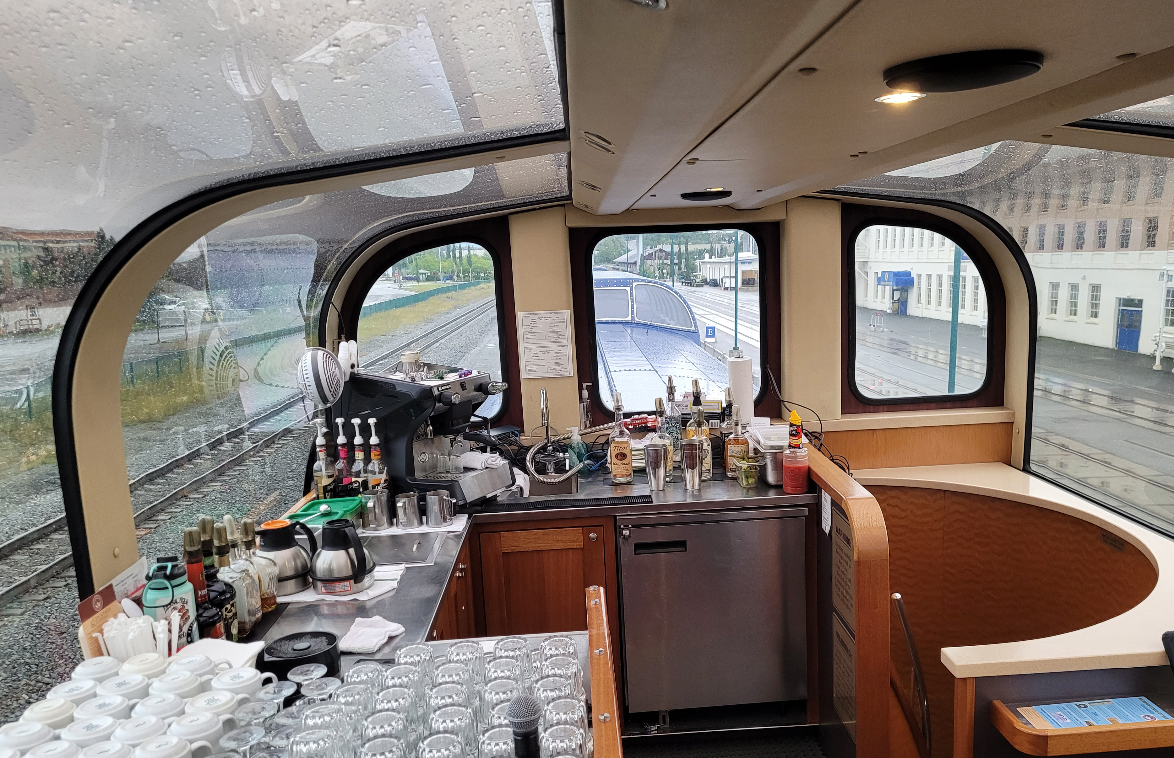
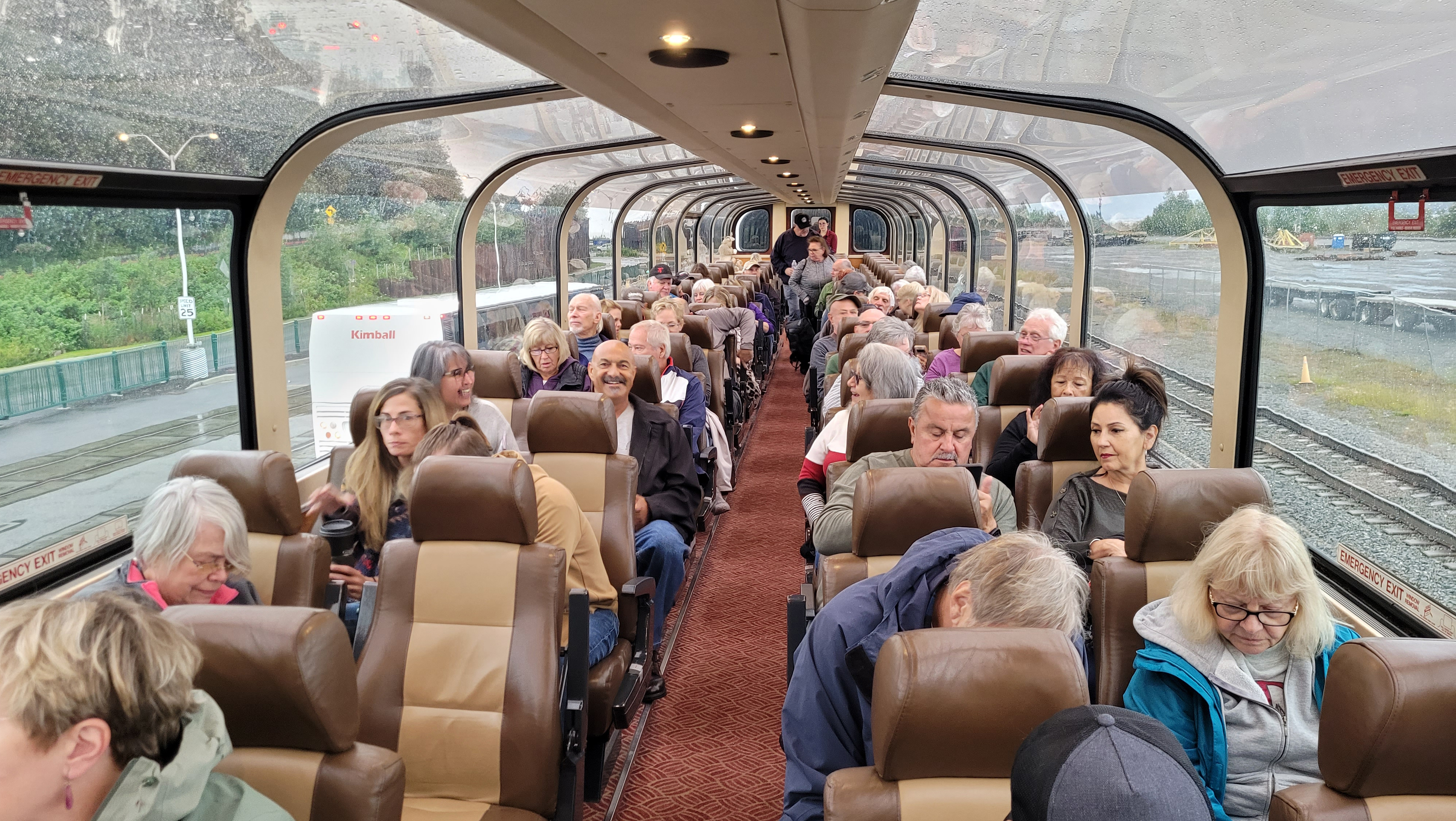
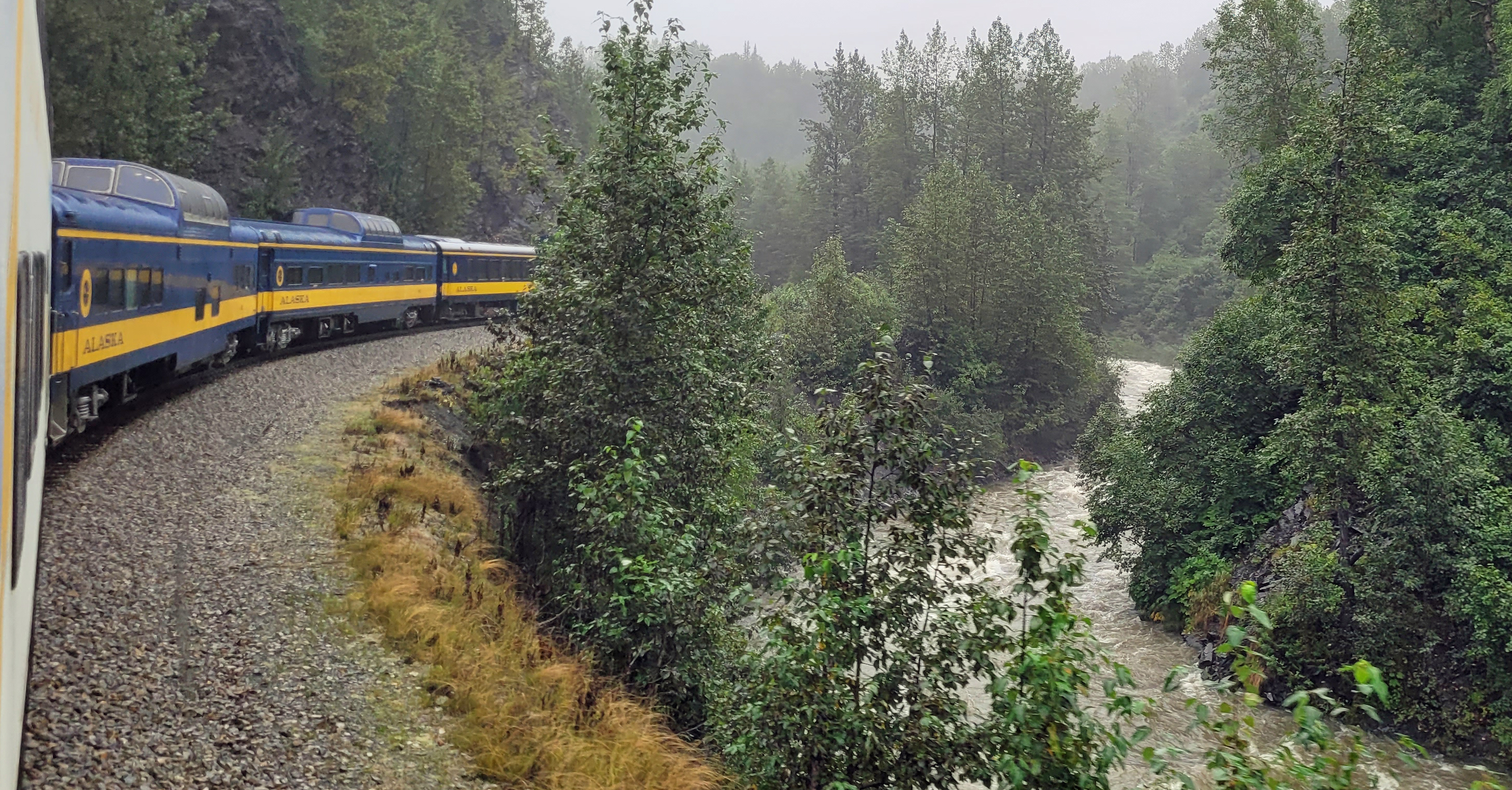


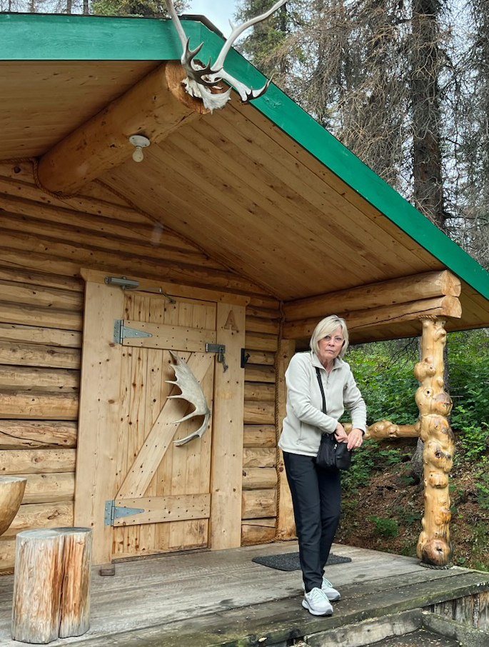
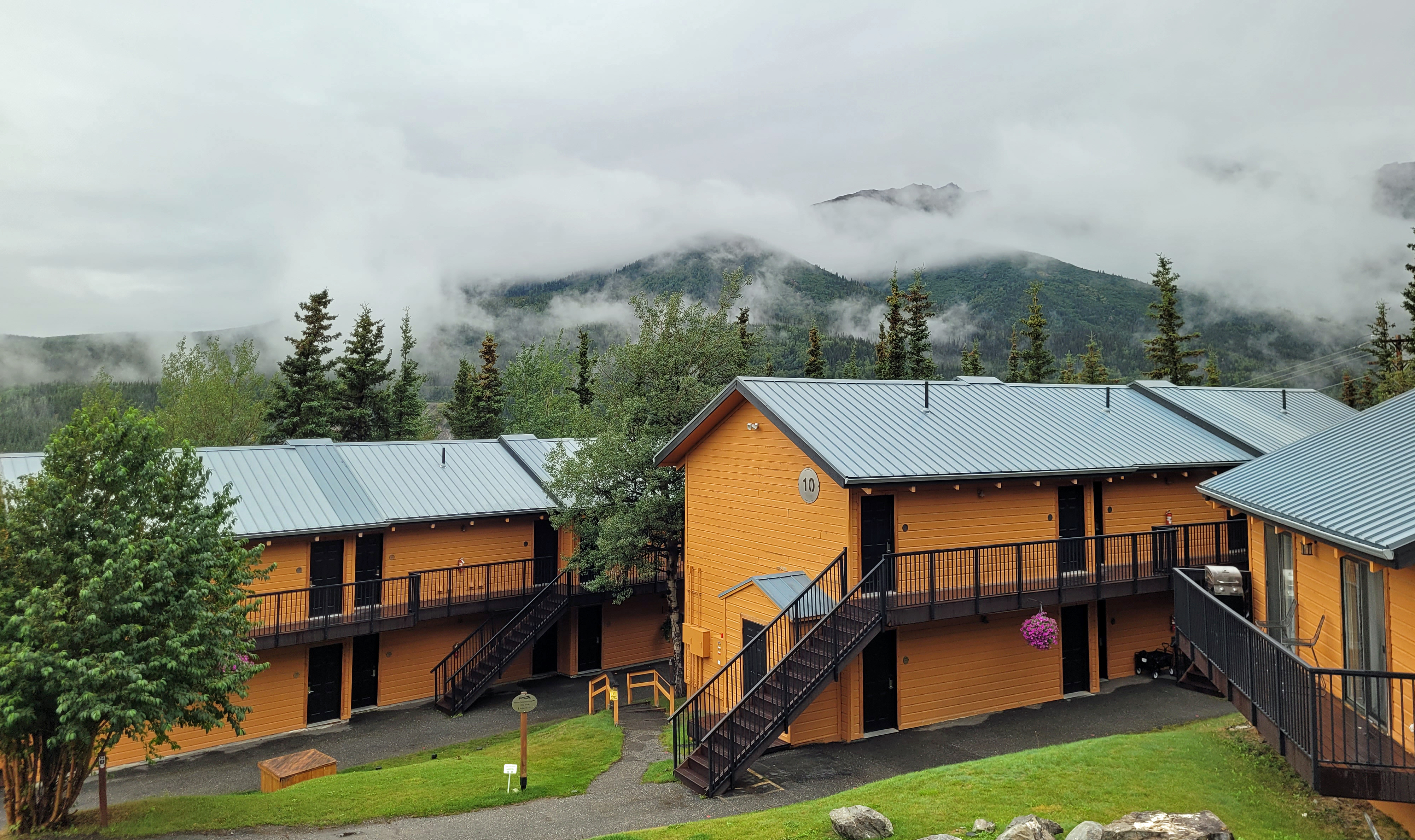
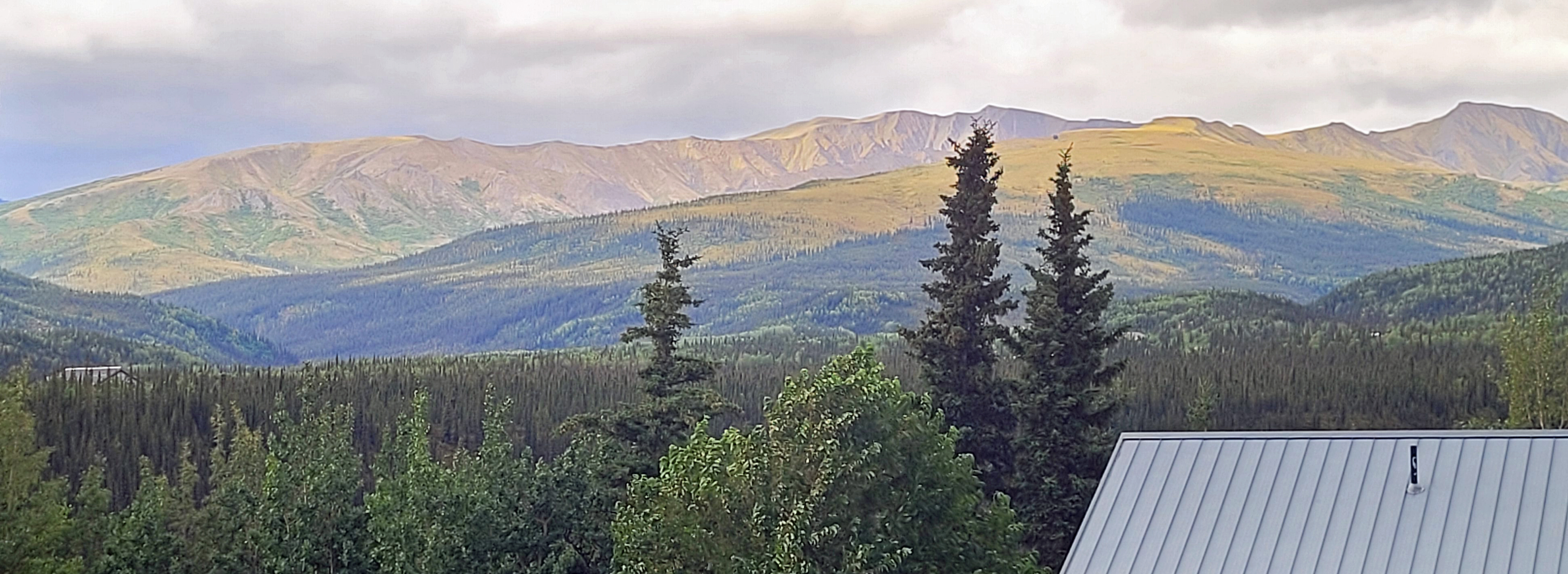


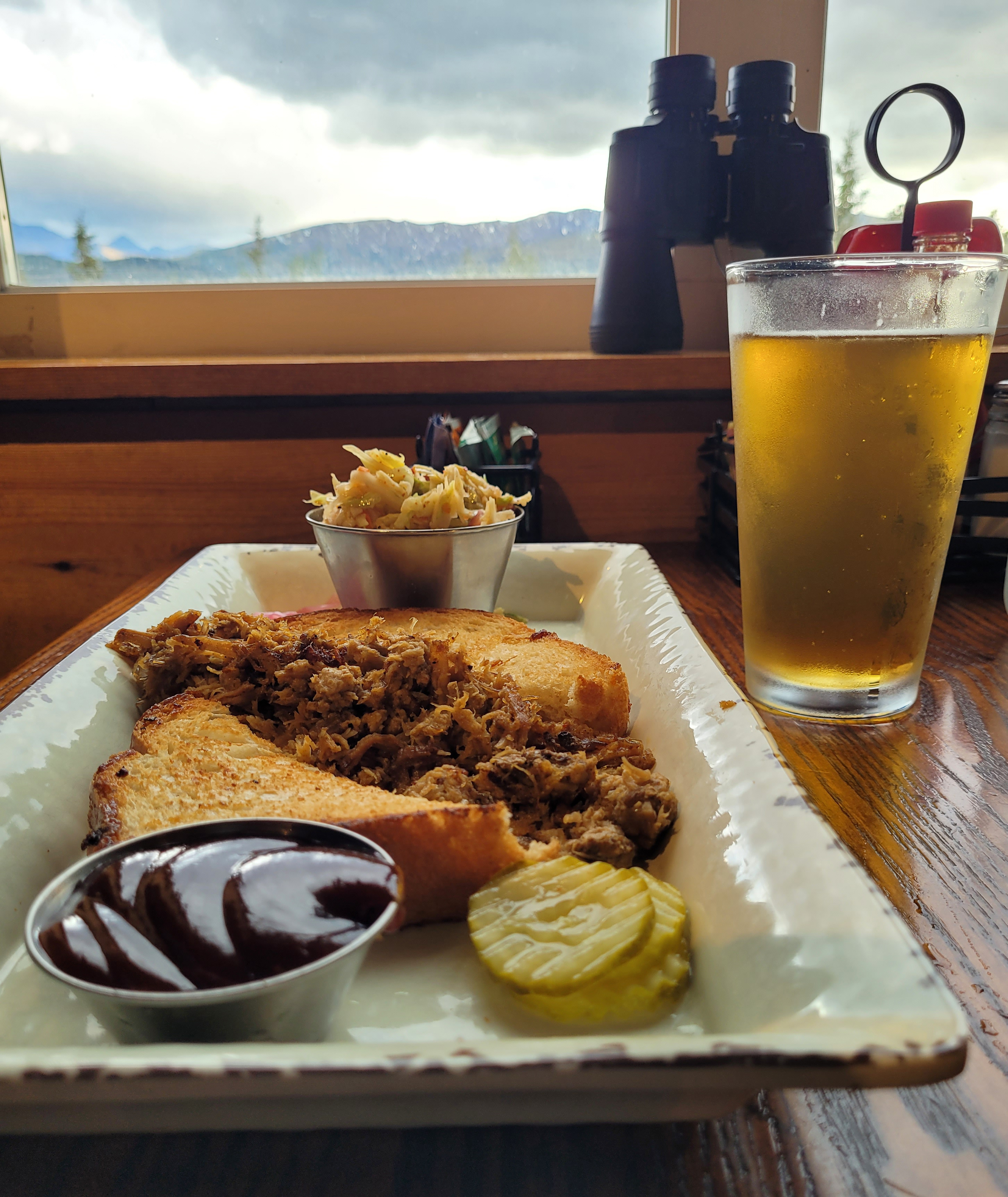

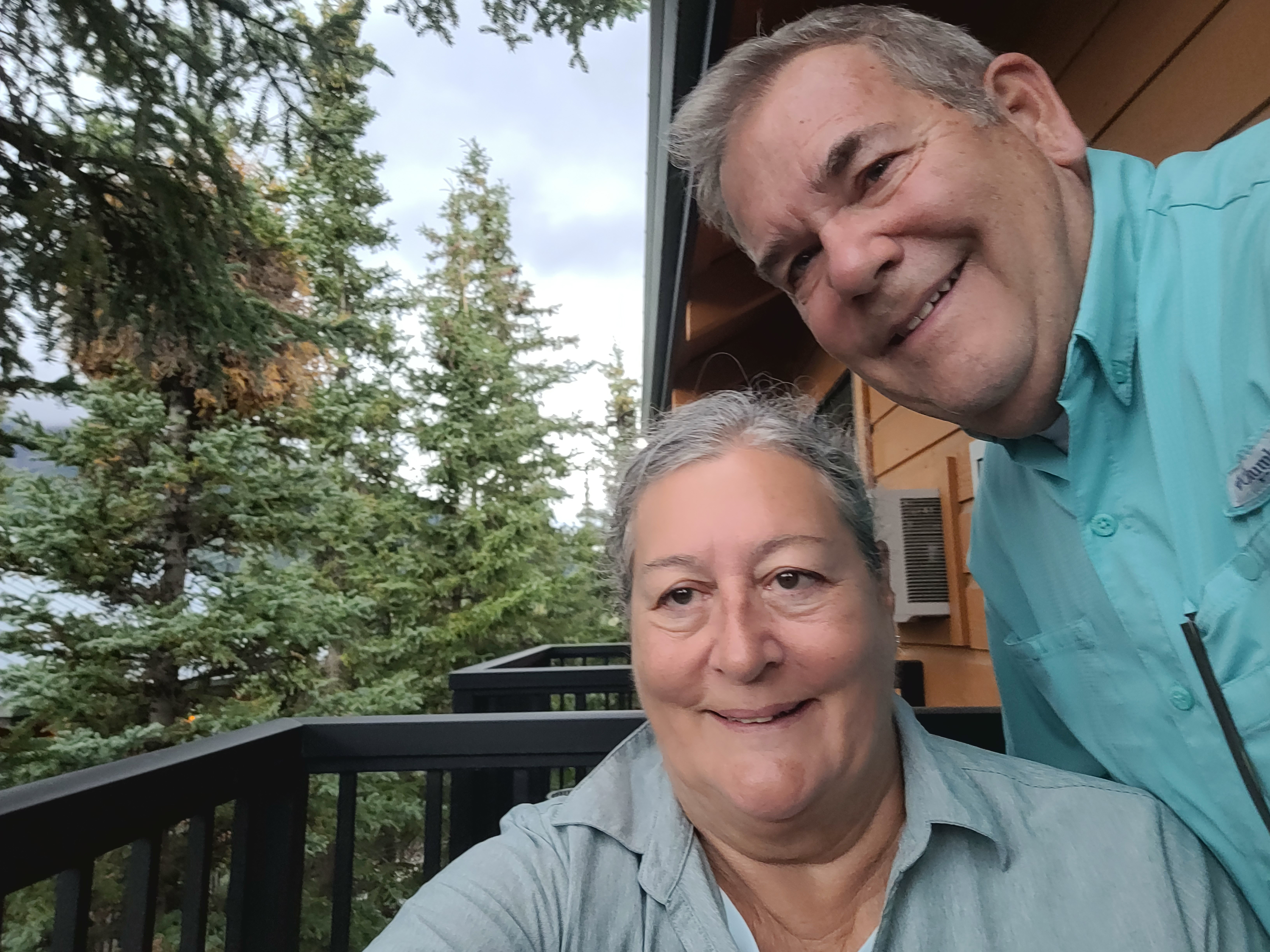
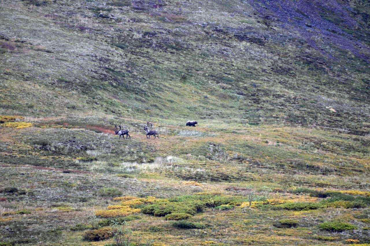

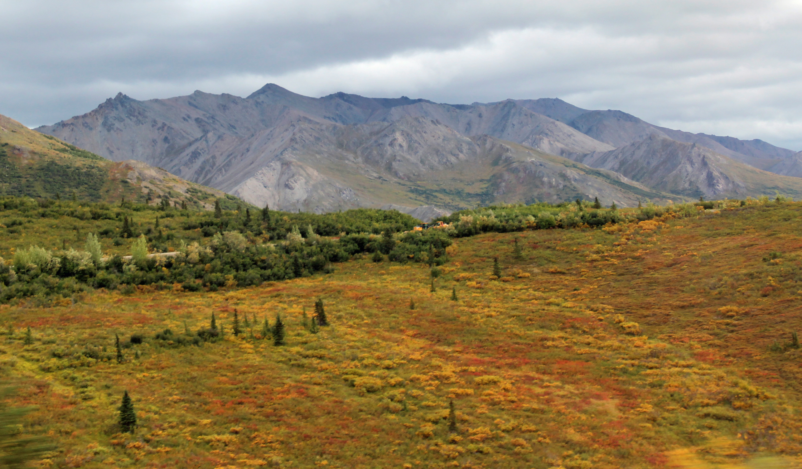
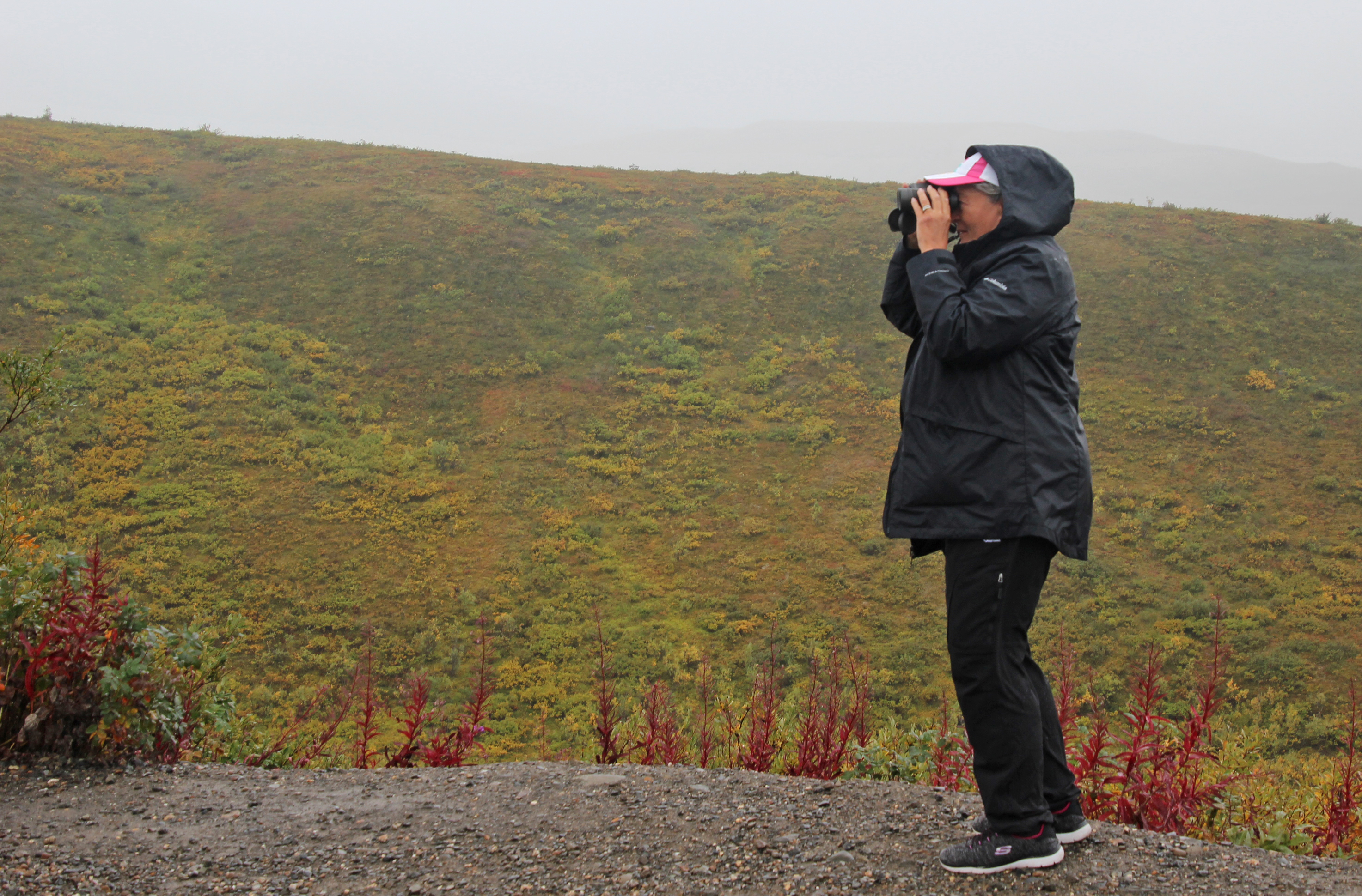
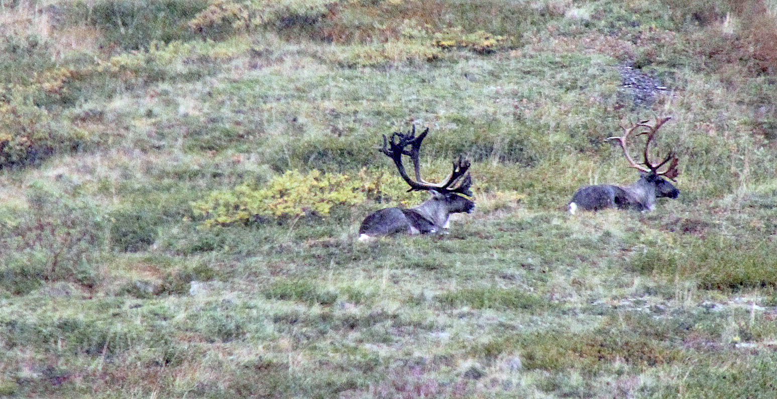

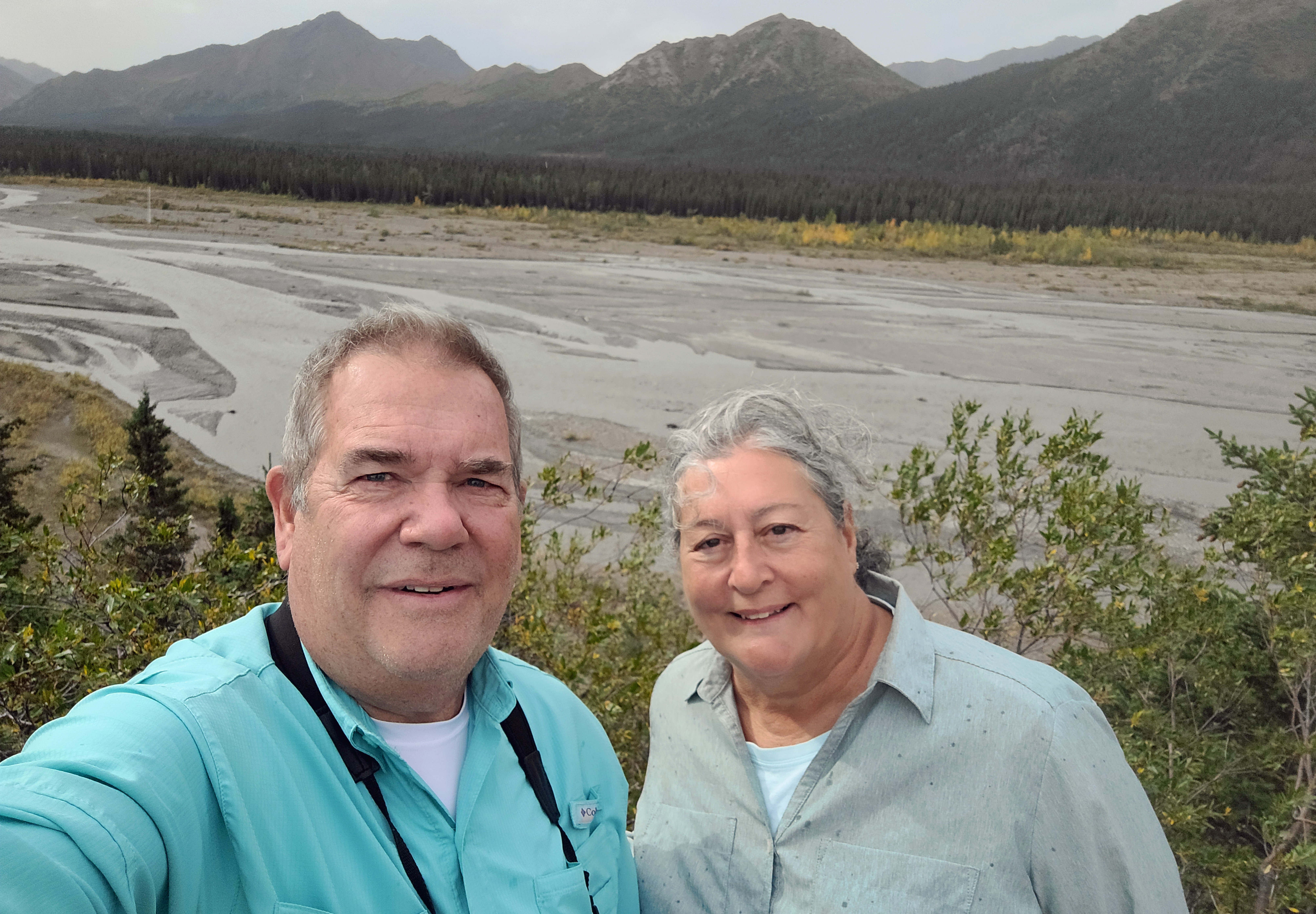
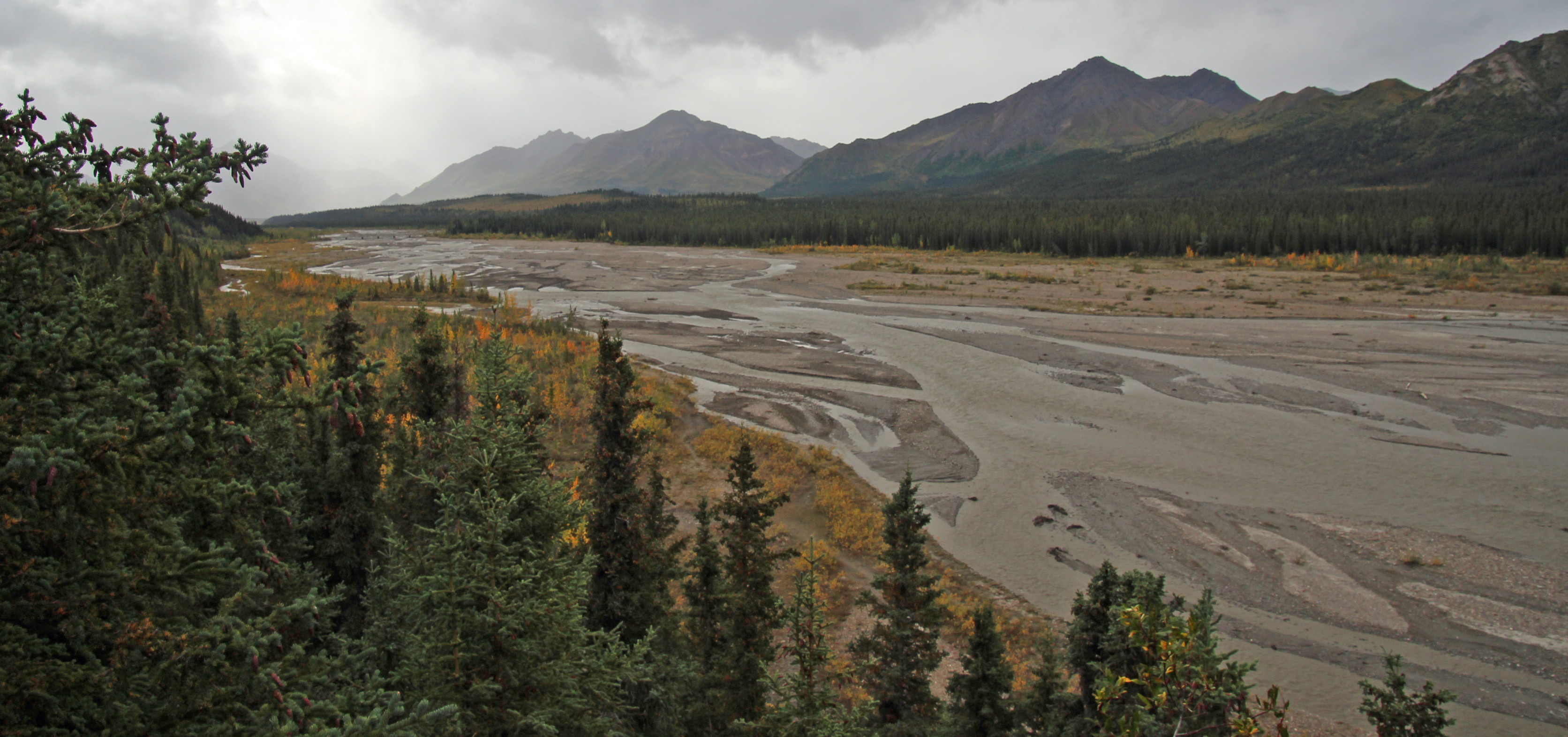


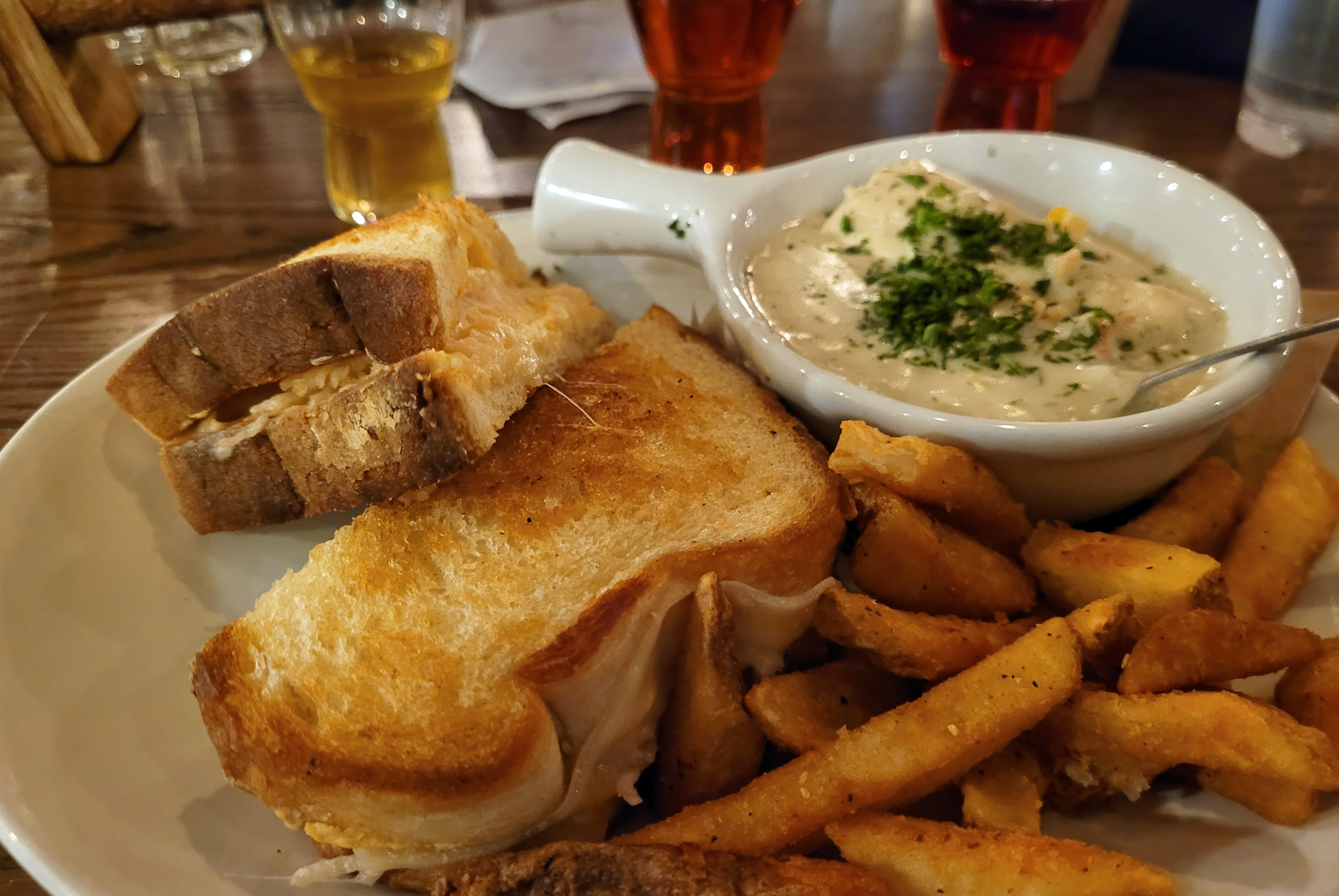
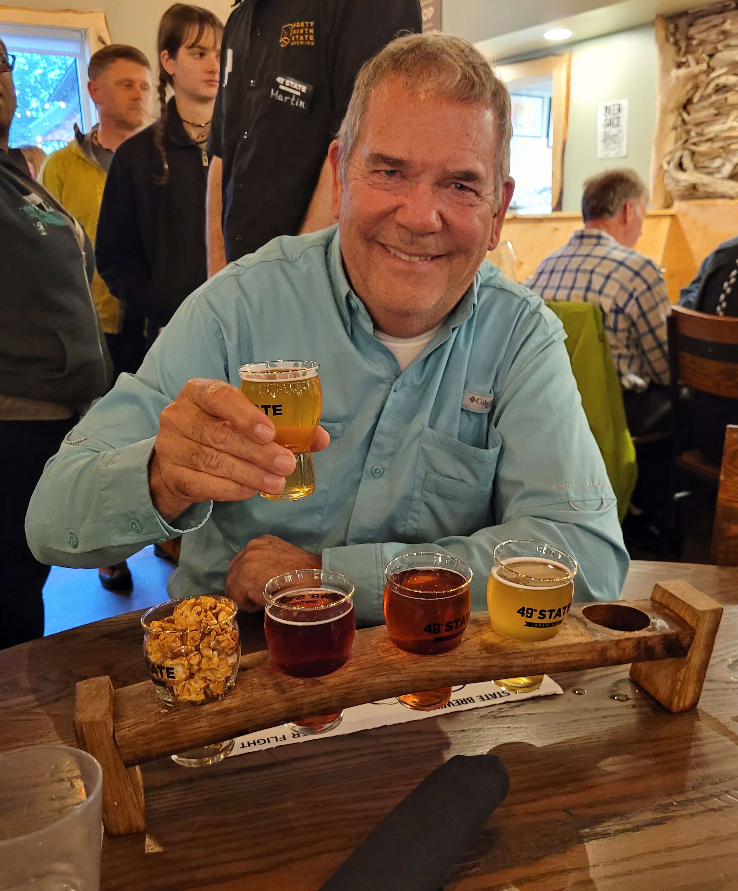
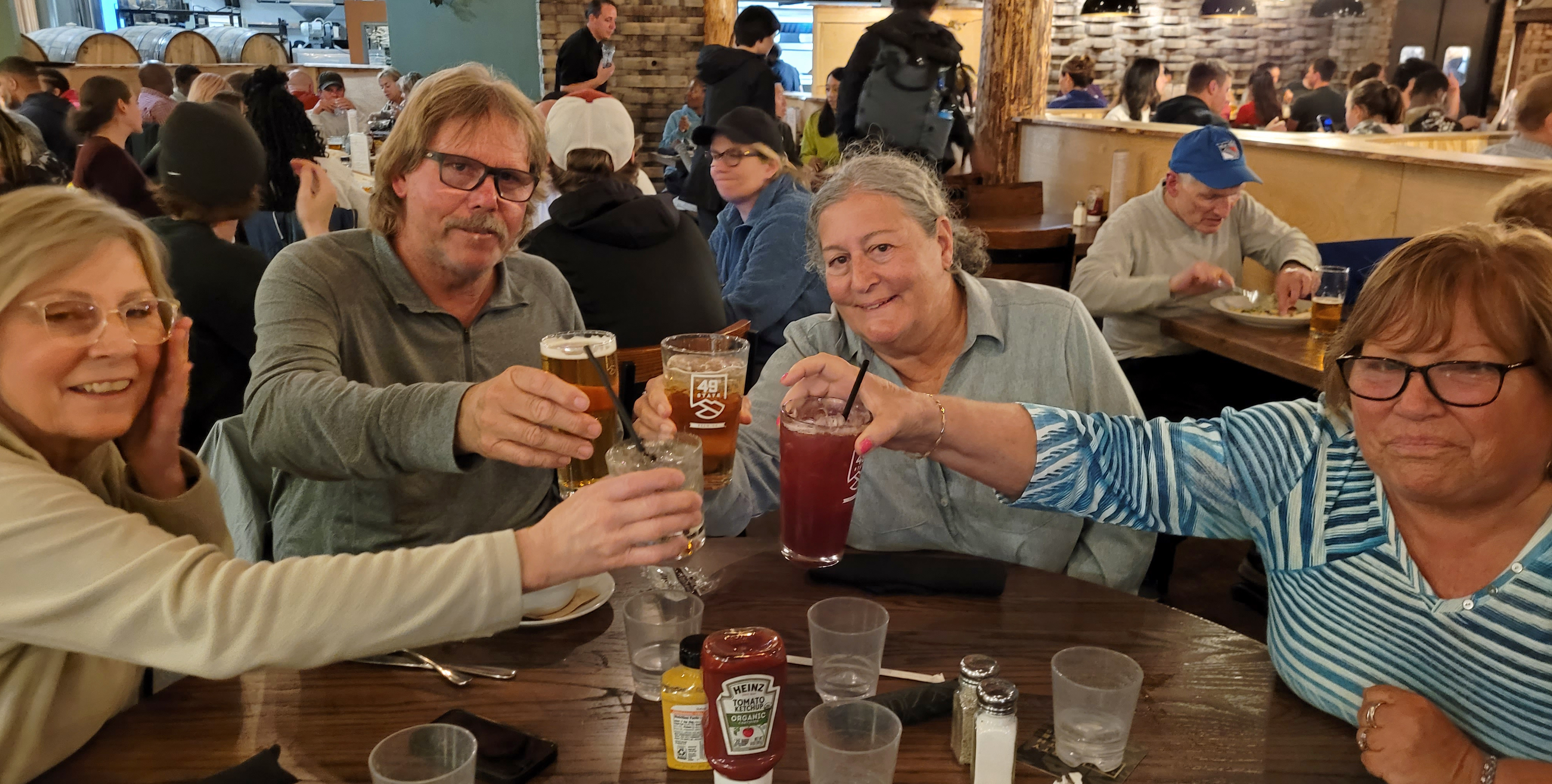

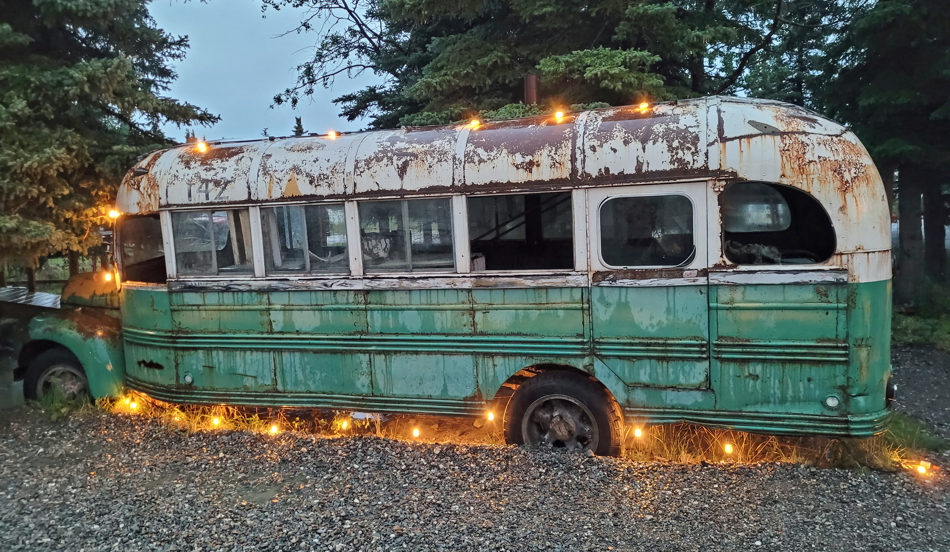
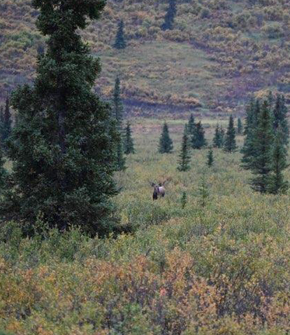


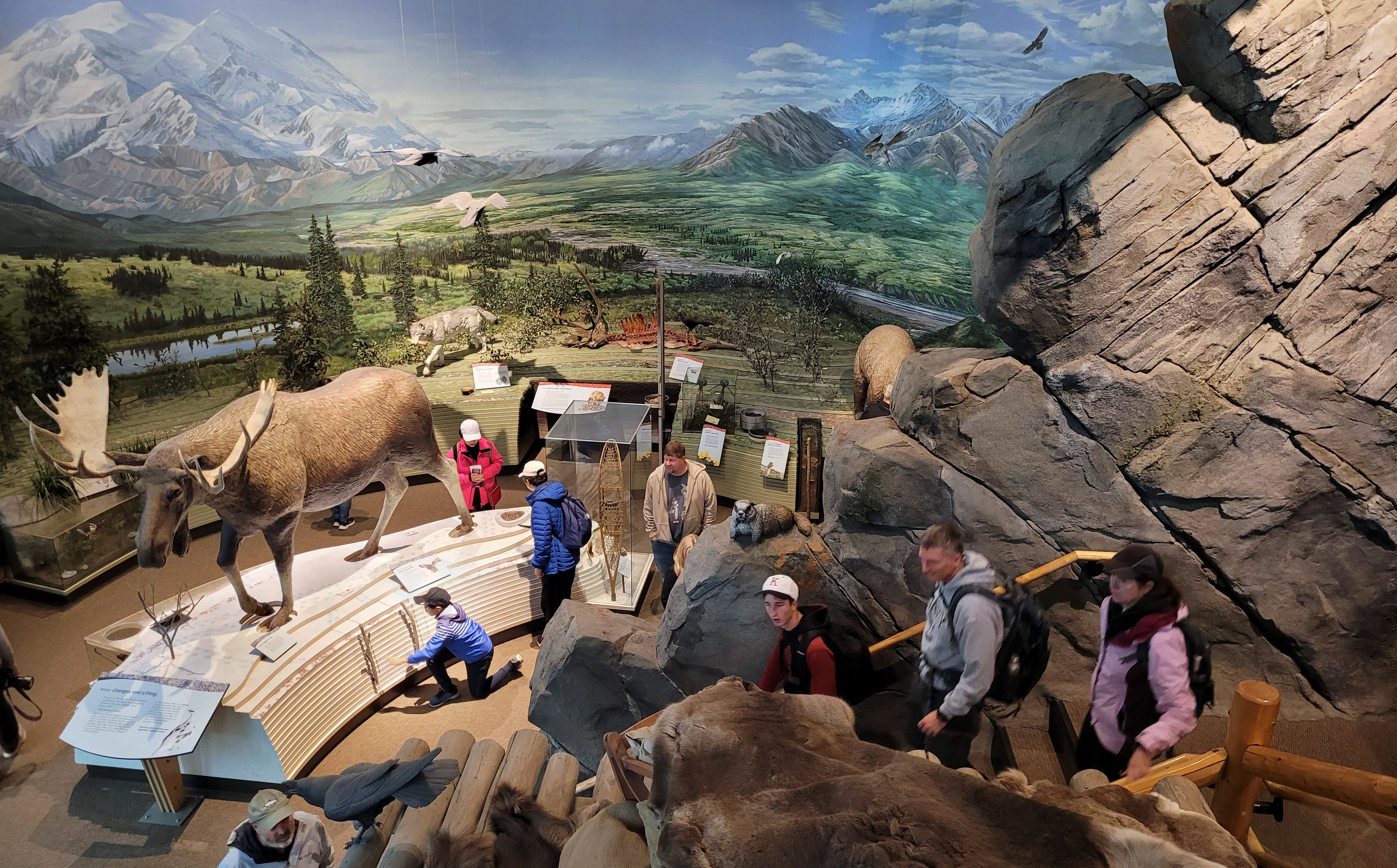
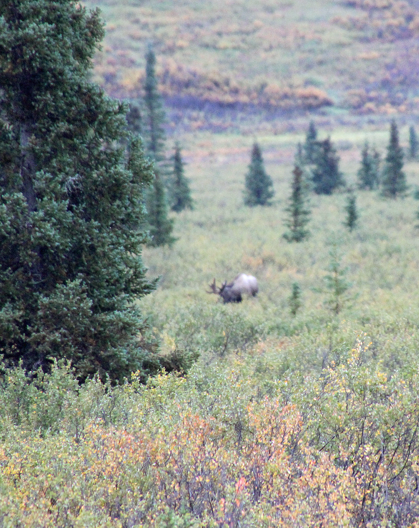
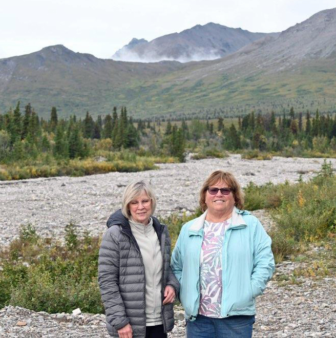
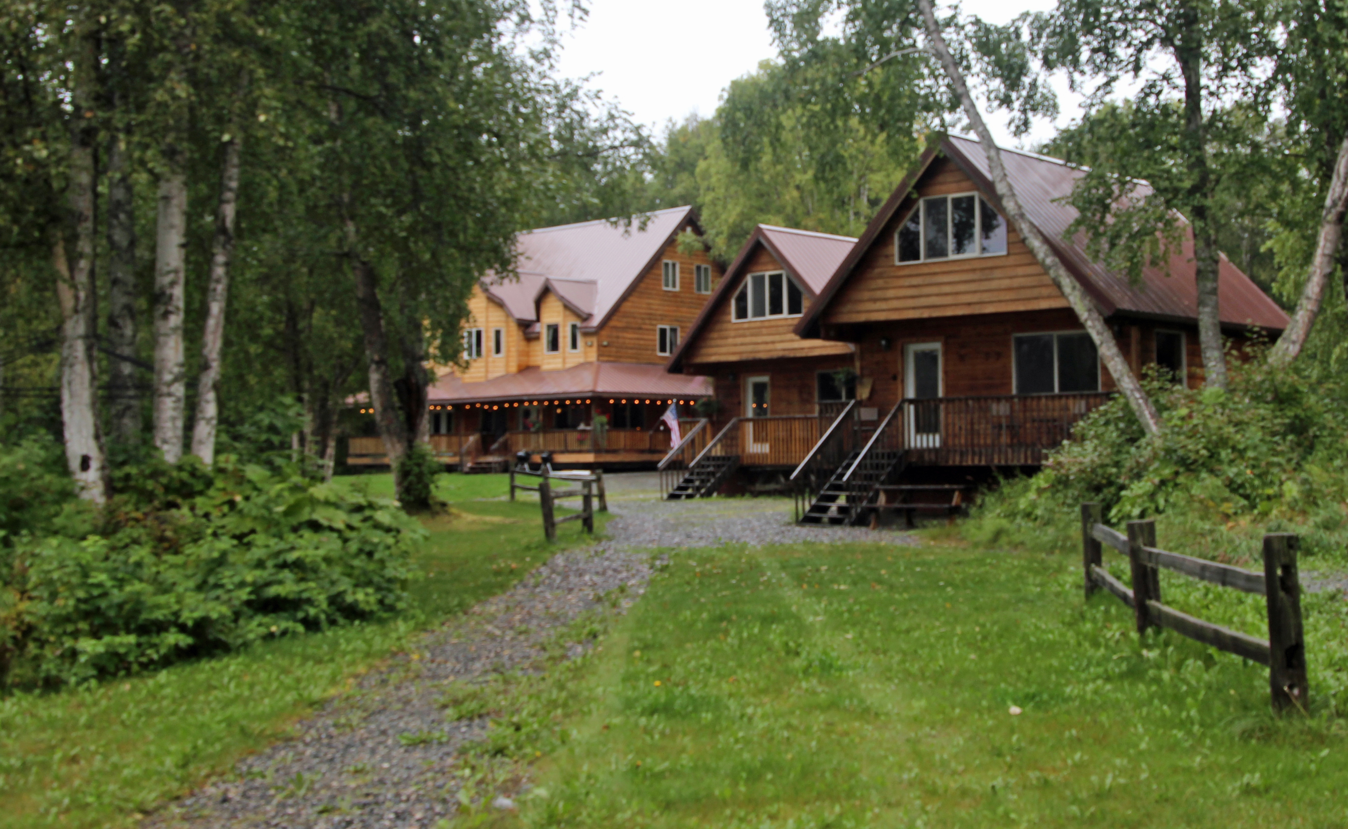
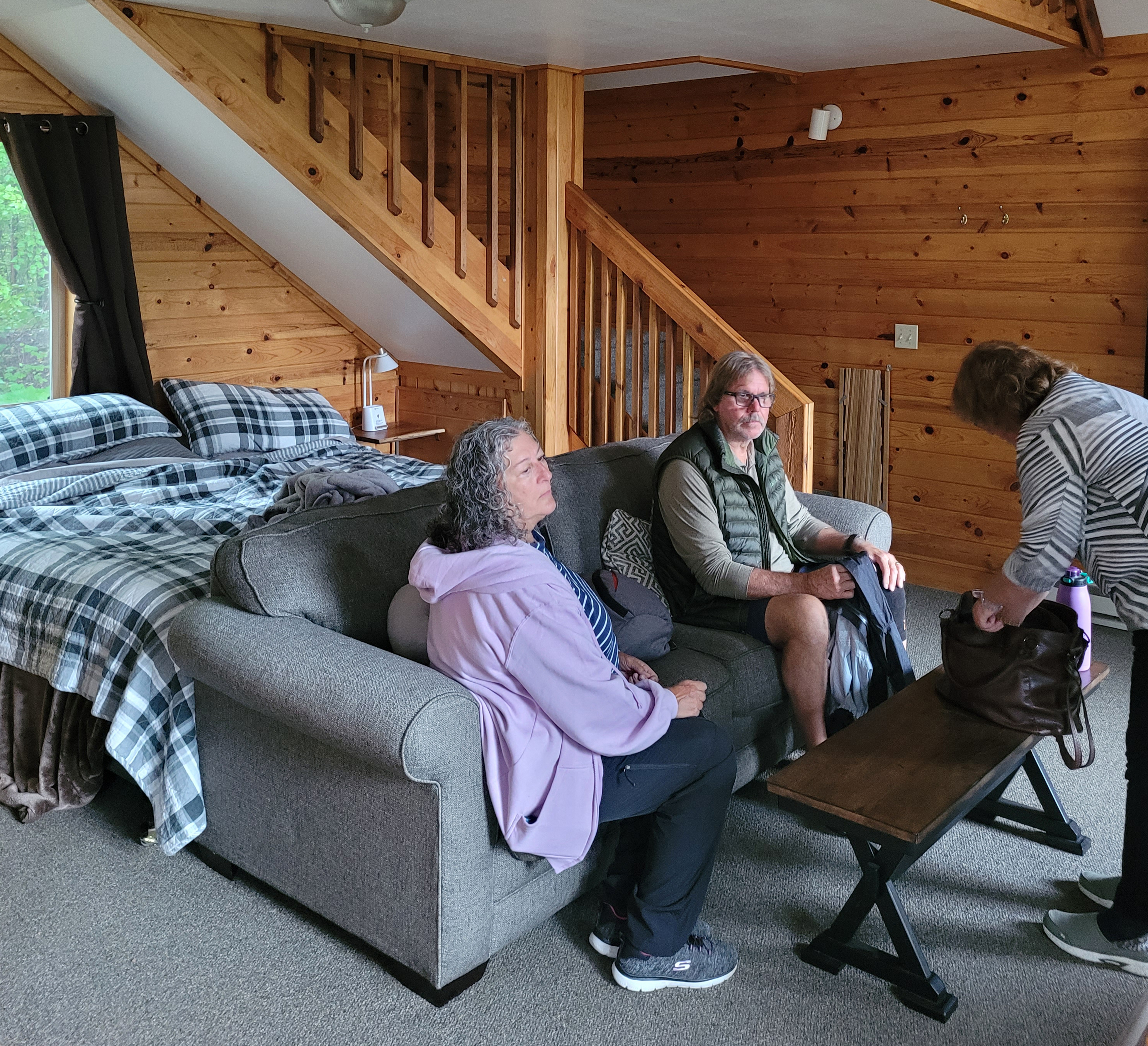
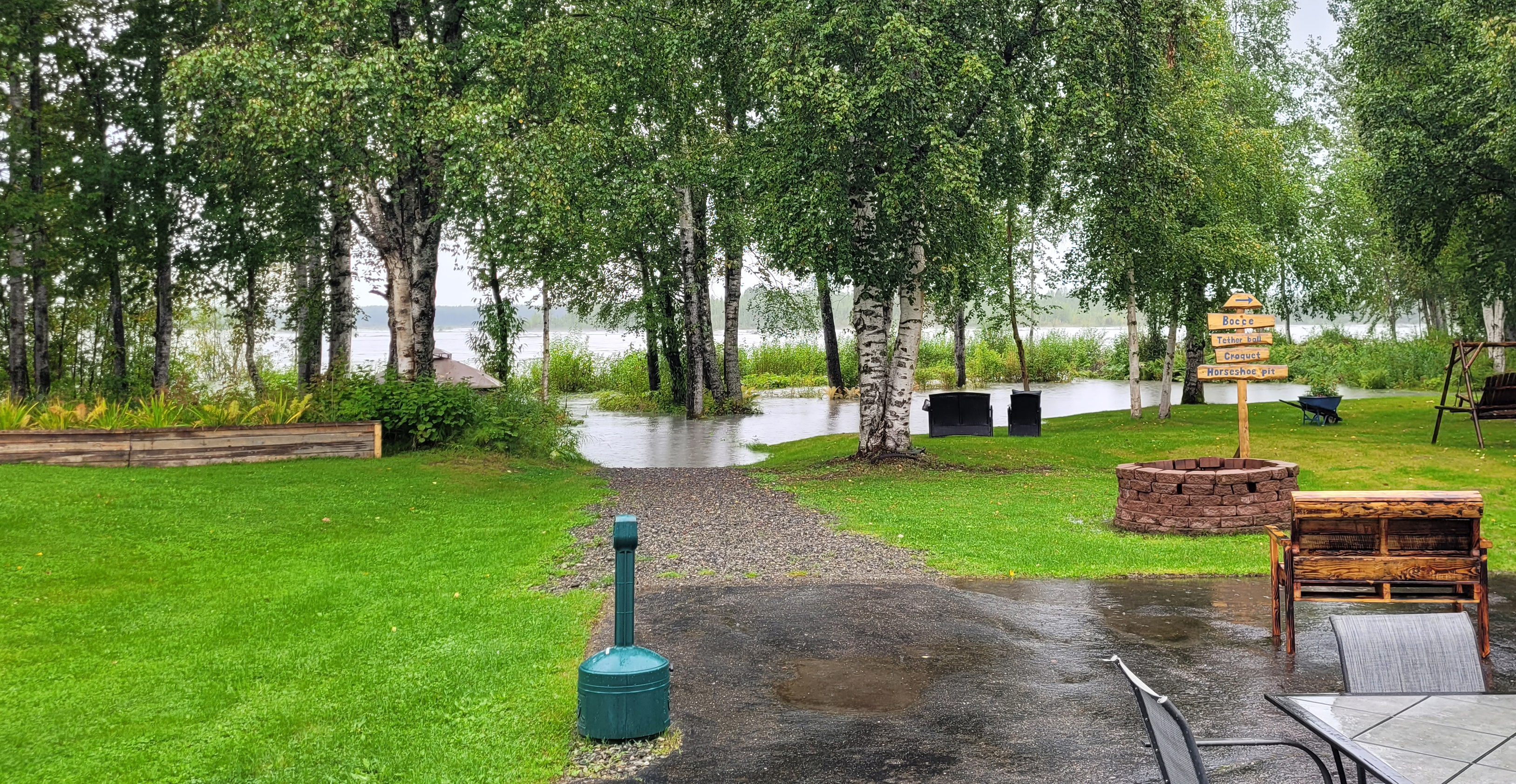
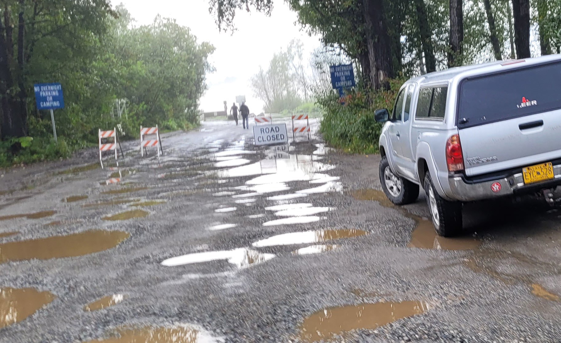


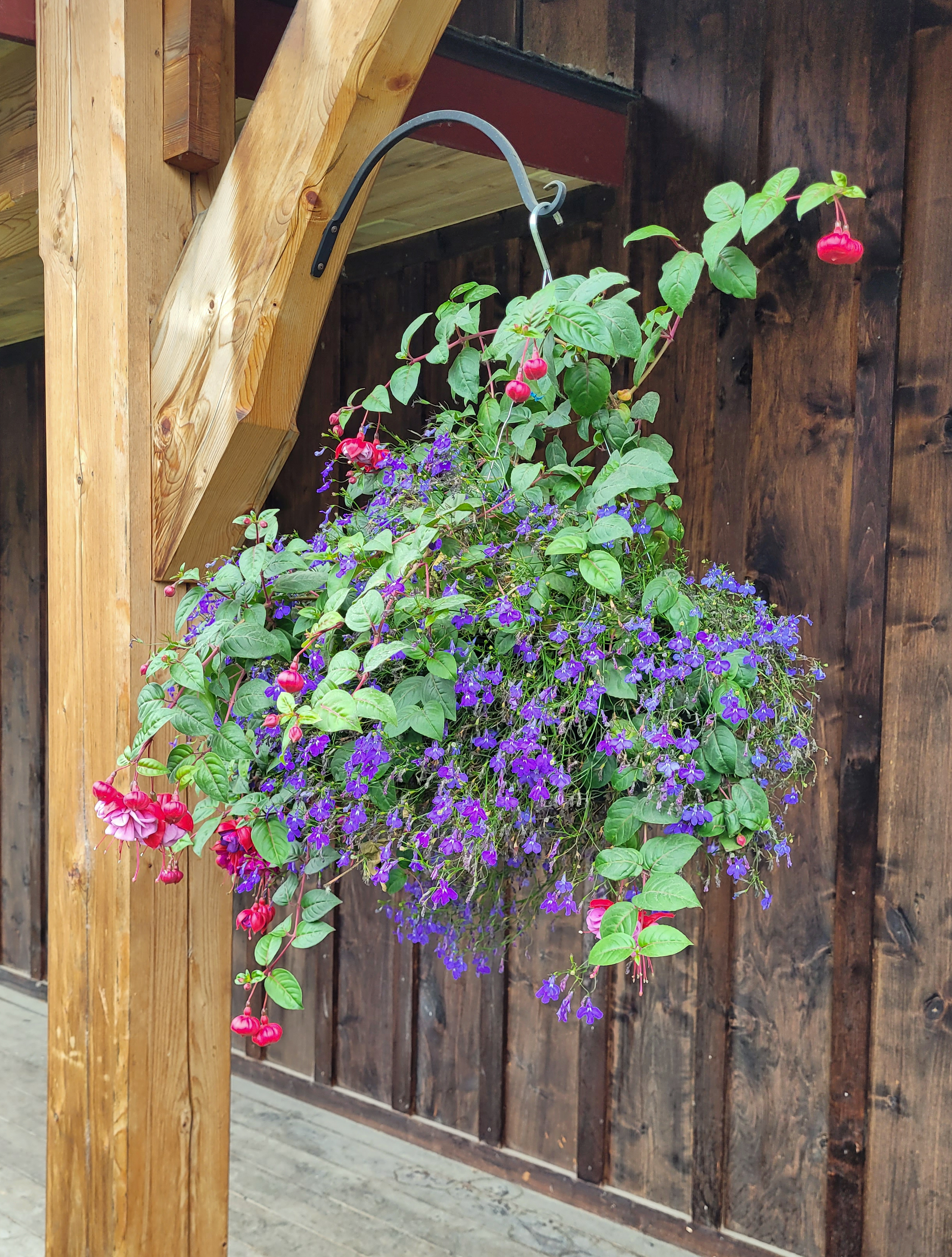

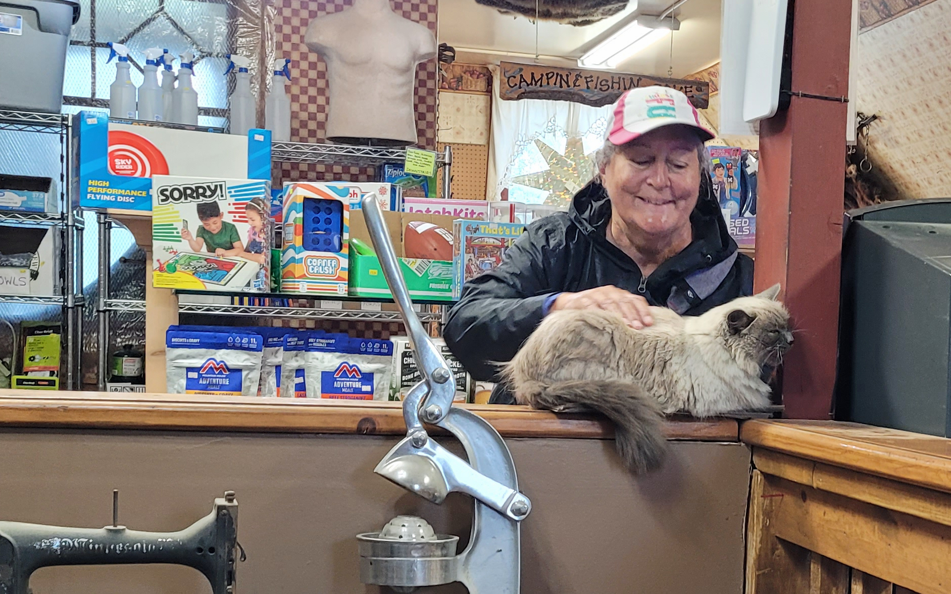


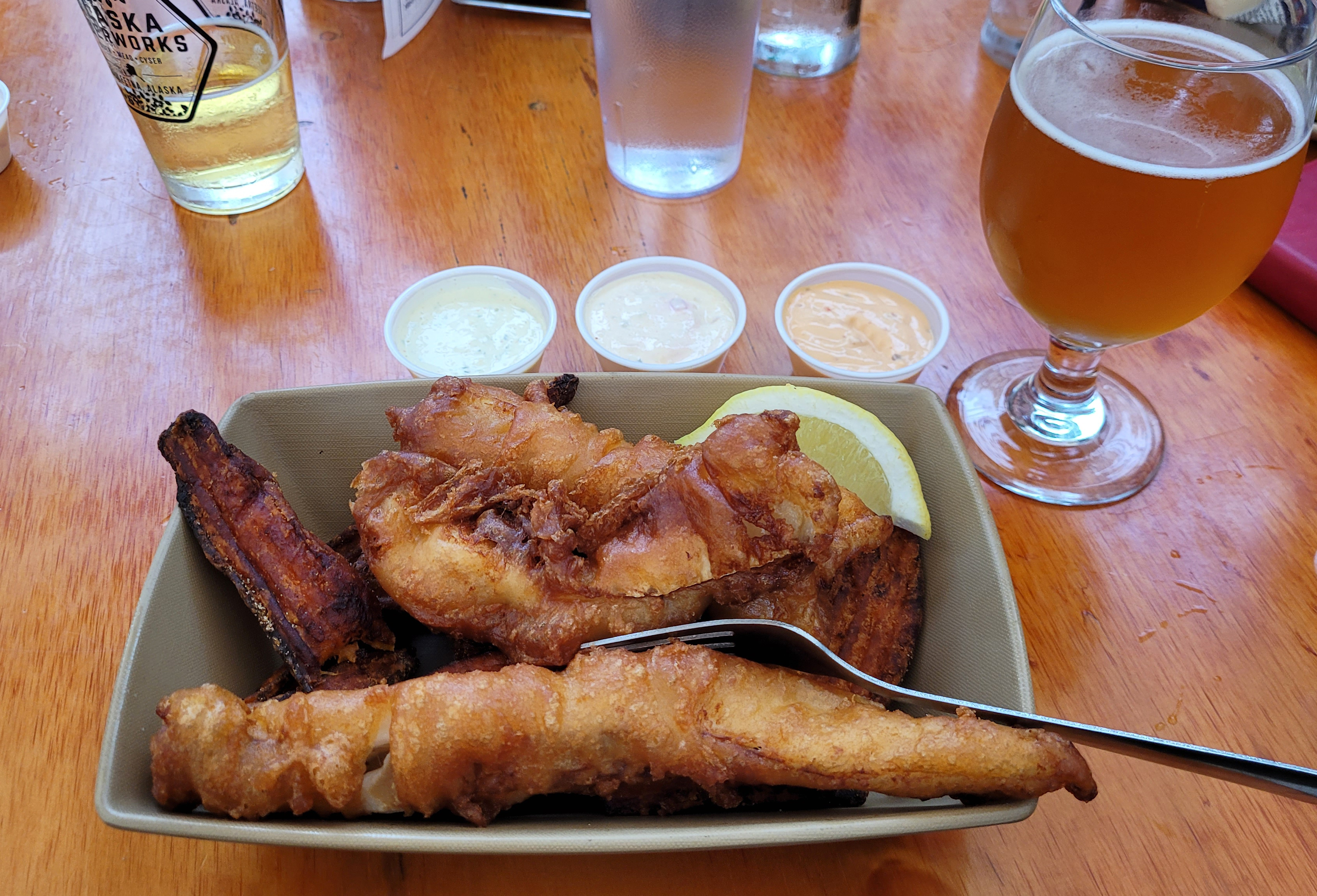

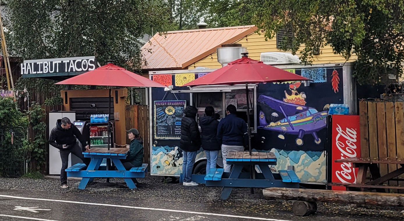


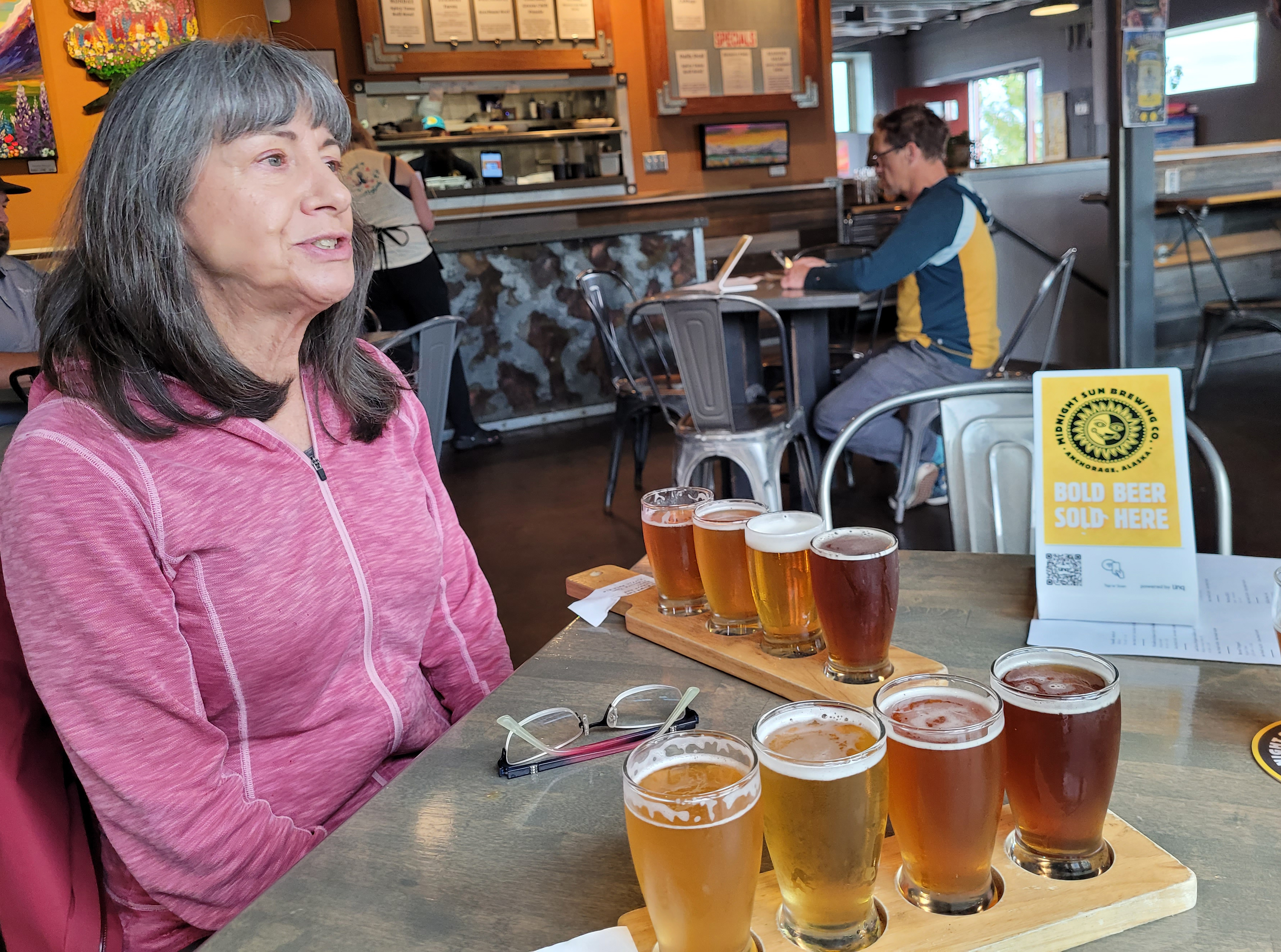

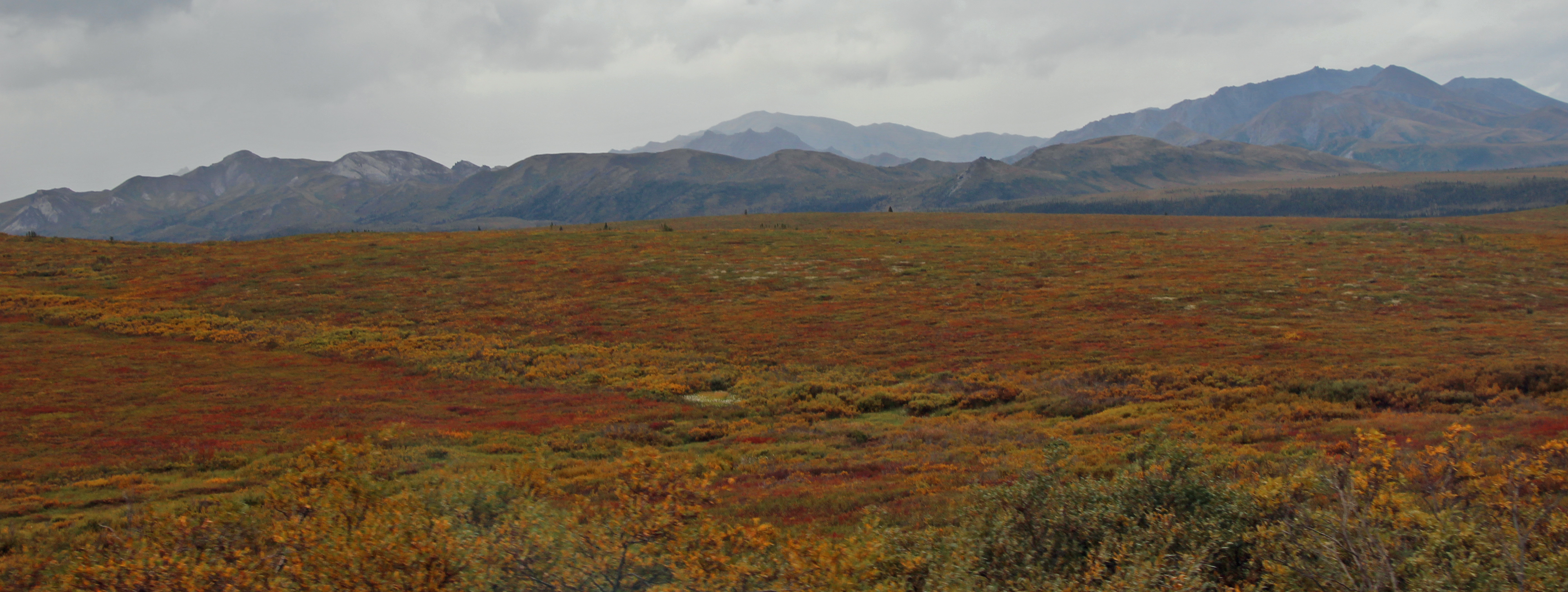

Comments