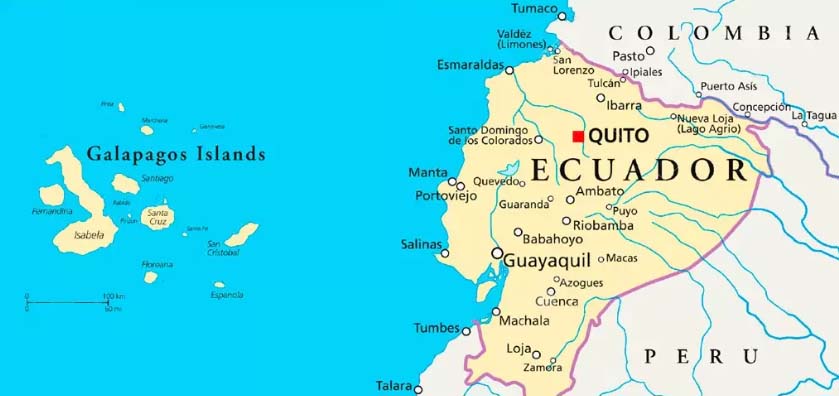
Let’s continue with this fantastic adventure cruise to the Galapagos Islands. As I mentioned earlier, the Galapagos Islands lie 600 miles off the coast of Ecuador, isolated for centuries and only visited by whalers, pirates and eventually settlers who tried to cultivate a living on the islands. The volcanic islands lacked dependable sources of water, with a few exceptions, and thus put a huge strain on the bird and animal life that arrived to the islands. The need to adapt for survival resulted in species that are totally unique and were what we wanted to see on this trip. We were not disappointed.
Part One VIDEO is now posted: Our Galapagos Adventure – Part One
Part Two VIDEO is now posted: Our Galapagos Adventure – Part Two


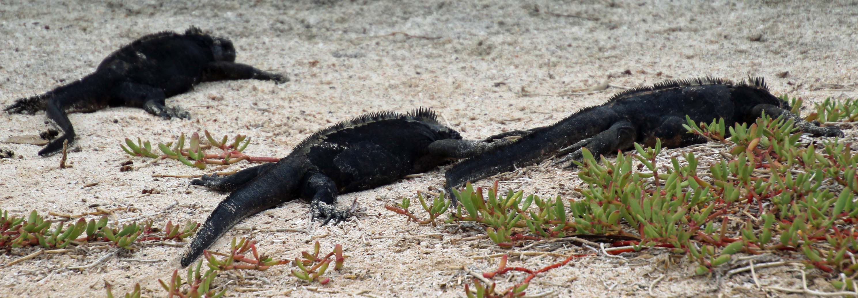
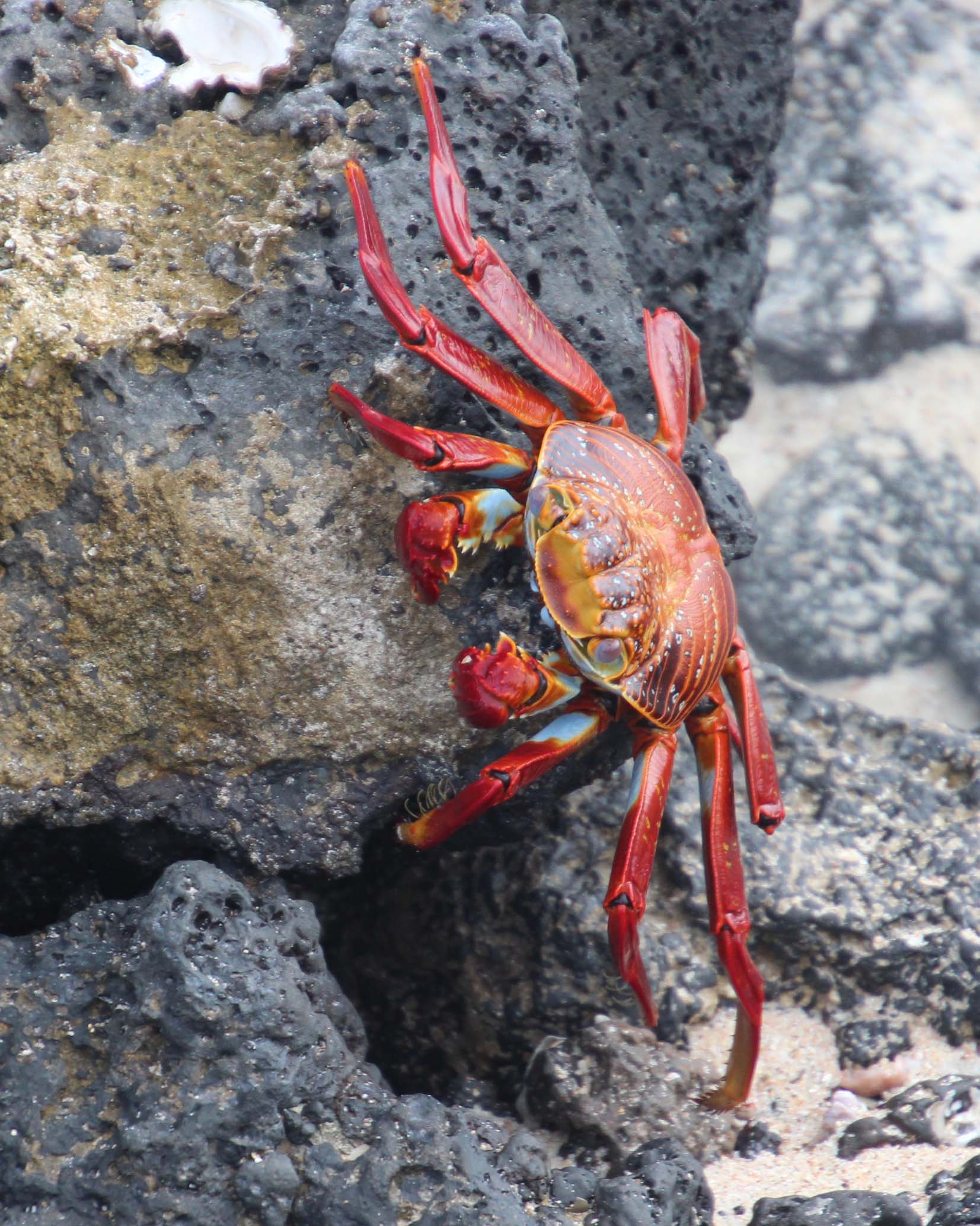
Our fourth day aboard was off the coast of Santa Cruz and North Seymour Islands. Overnight we were rocked pretty good by large swells, caused by the deep water Humbolt current we were told, and this was the first time seeing lights of other boats and onshore activity. Choices of excursion for the day were a morning beach walk with beach snorkel or simply the beach snorkel. Up early to catch breakfast and get ready, we chose the beach walk, since it involved a brief visit to a brackish pond where other birds were expected. An 8:30 wet landing meant wearing wet shoes and changing into dry socks and hiking shoes. The beach was white sand, the color of the water was a beautiful blue and frothy white waves crashed over the black volcanic rocks and over the red crabs and brown sea lions scattered about. It was very cool. The pond behind the dunes was quiet and we saw some ducks and a great look at a black-necked stilt.


Back at the beach landing we changed into our snorkel gear to check out the sea life. Turns out it was pretty stirred up and hard to see clearly, so we opted to slip off our fins and get out. As we were doing so, someone pointed out “octopus in the water”. Sure enough, there in the wave wash was a dark grey/purple octopus, maybe 12” across the spread tentacles. We watched a bit before it disappeared deeper into the water. How very exciting!
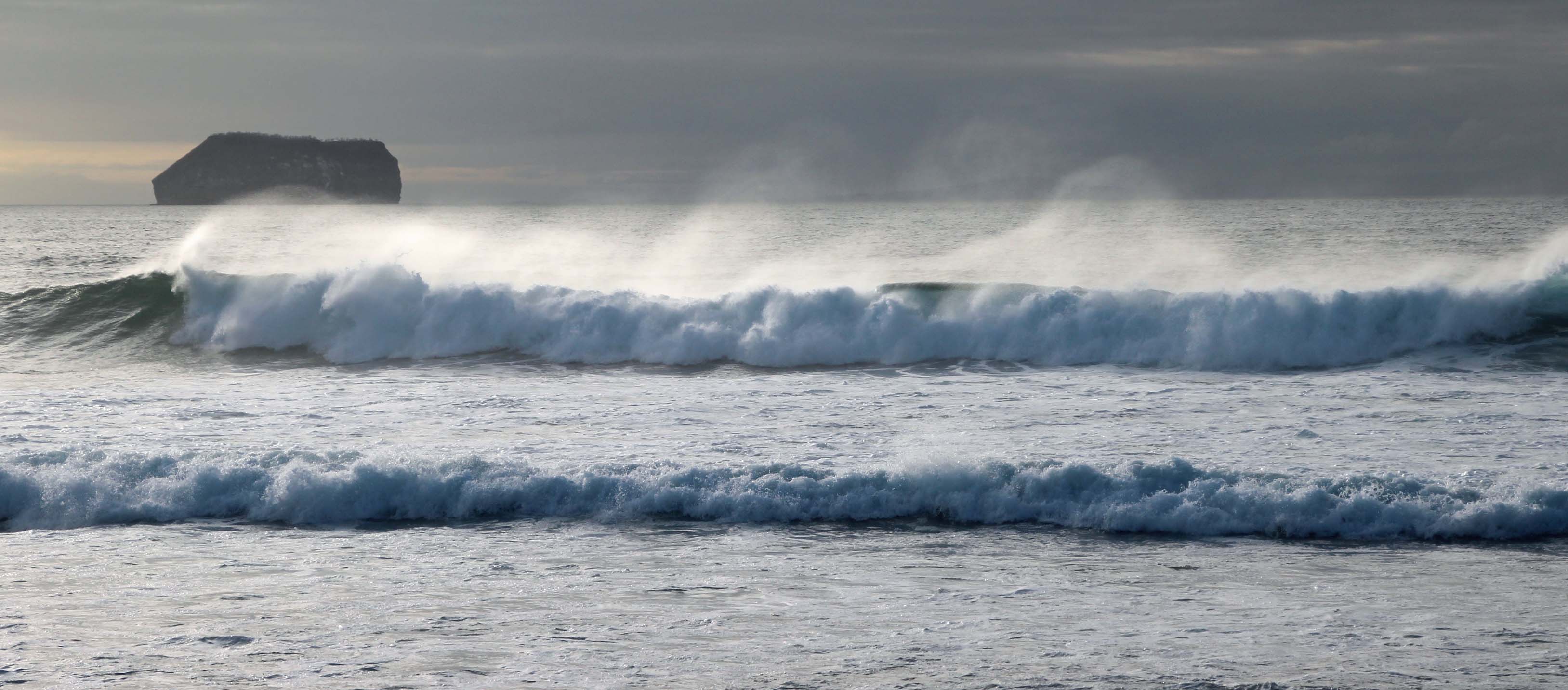
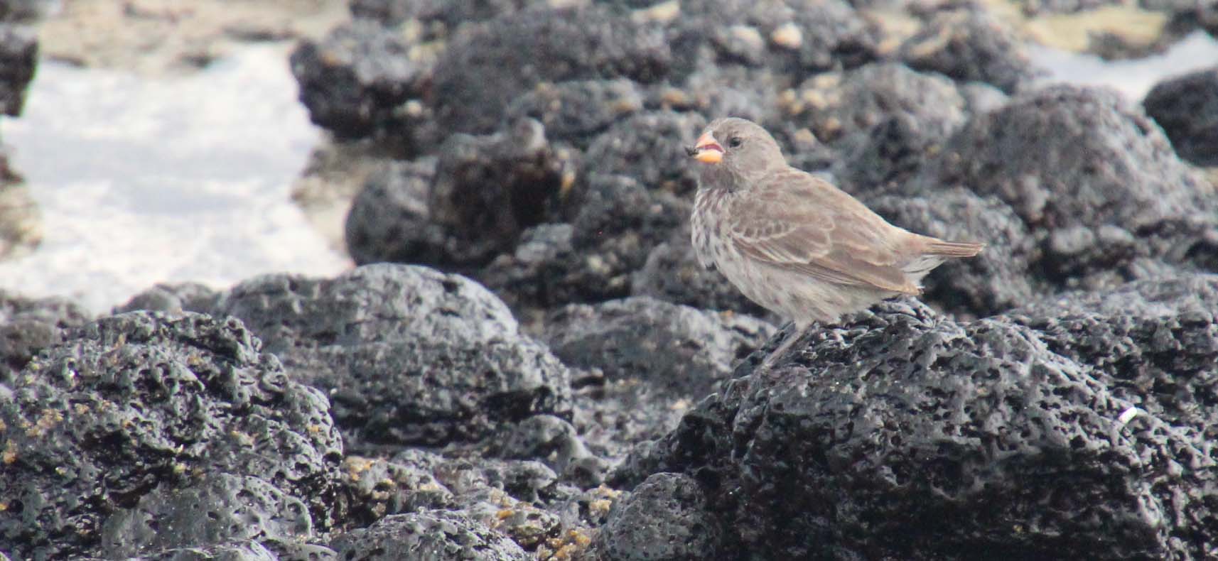
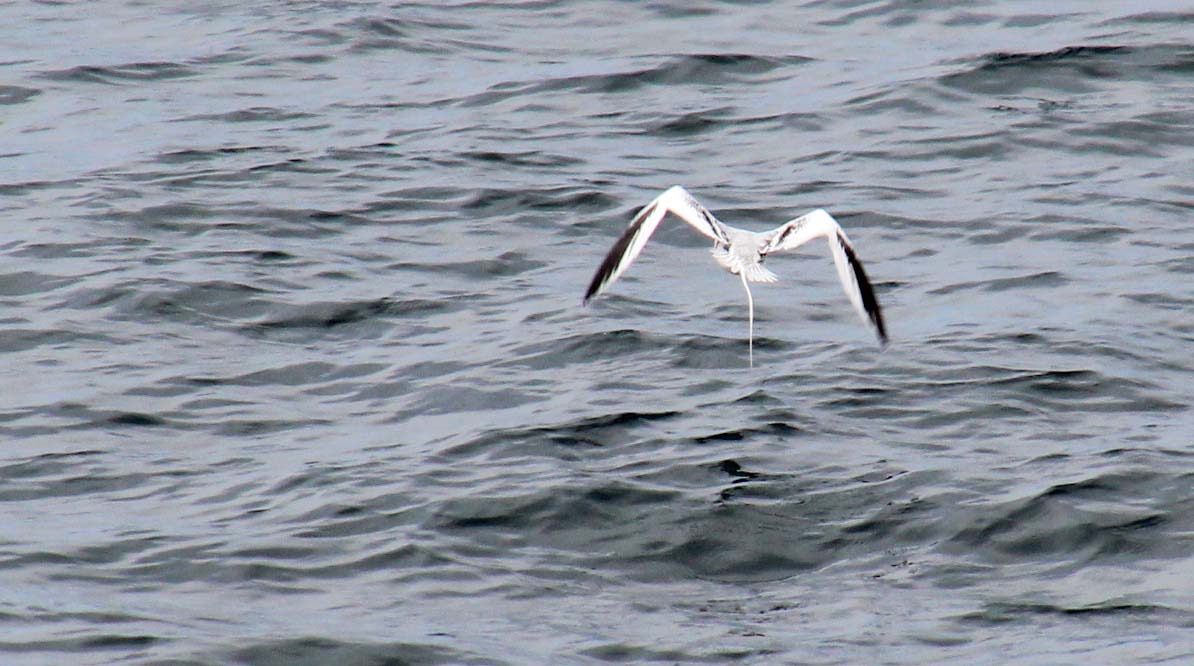
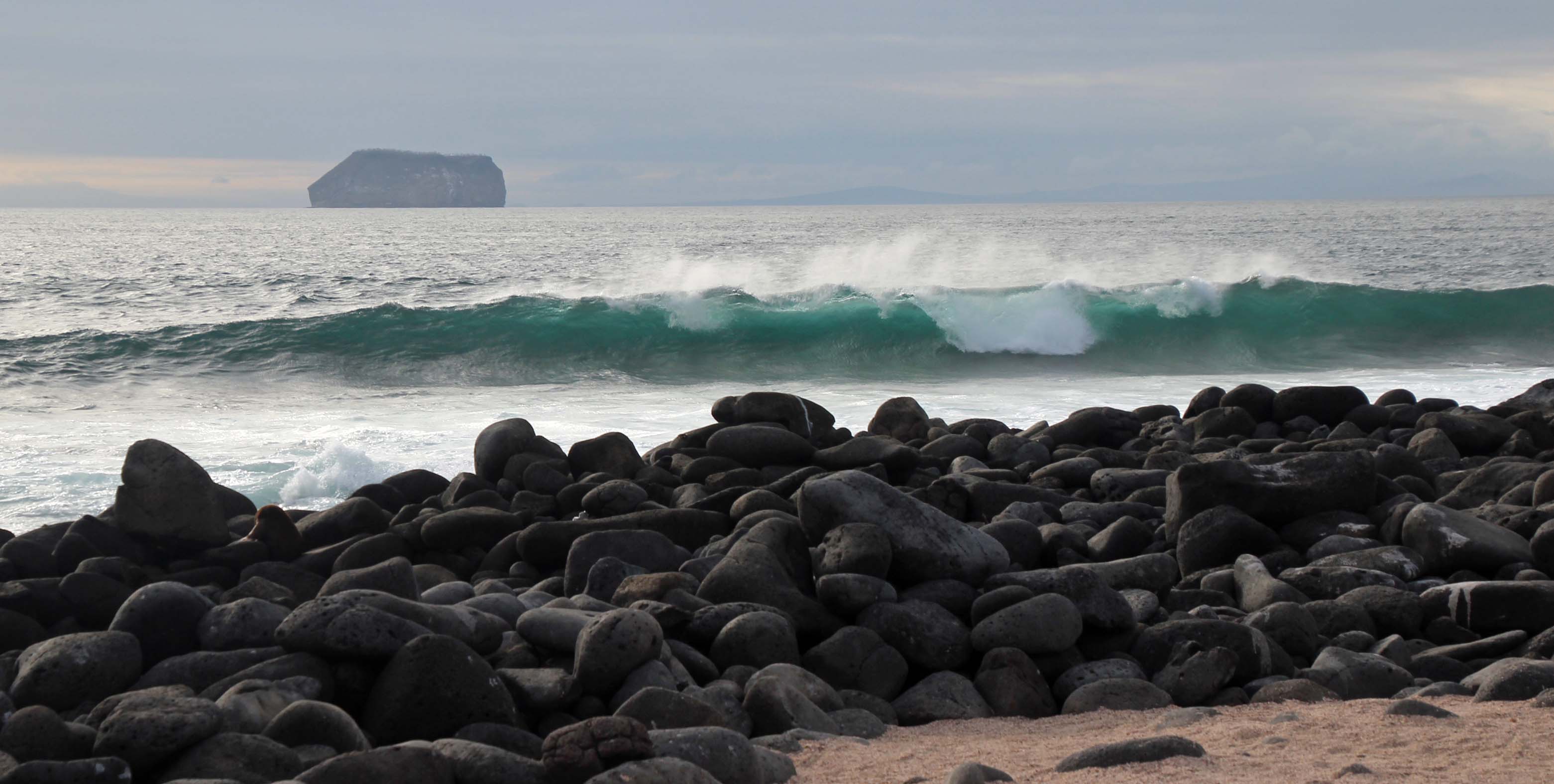
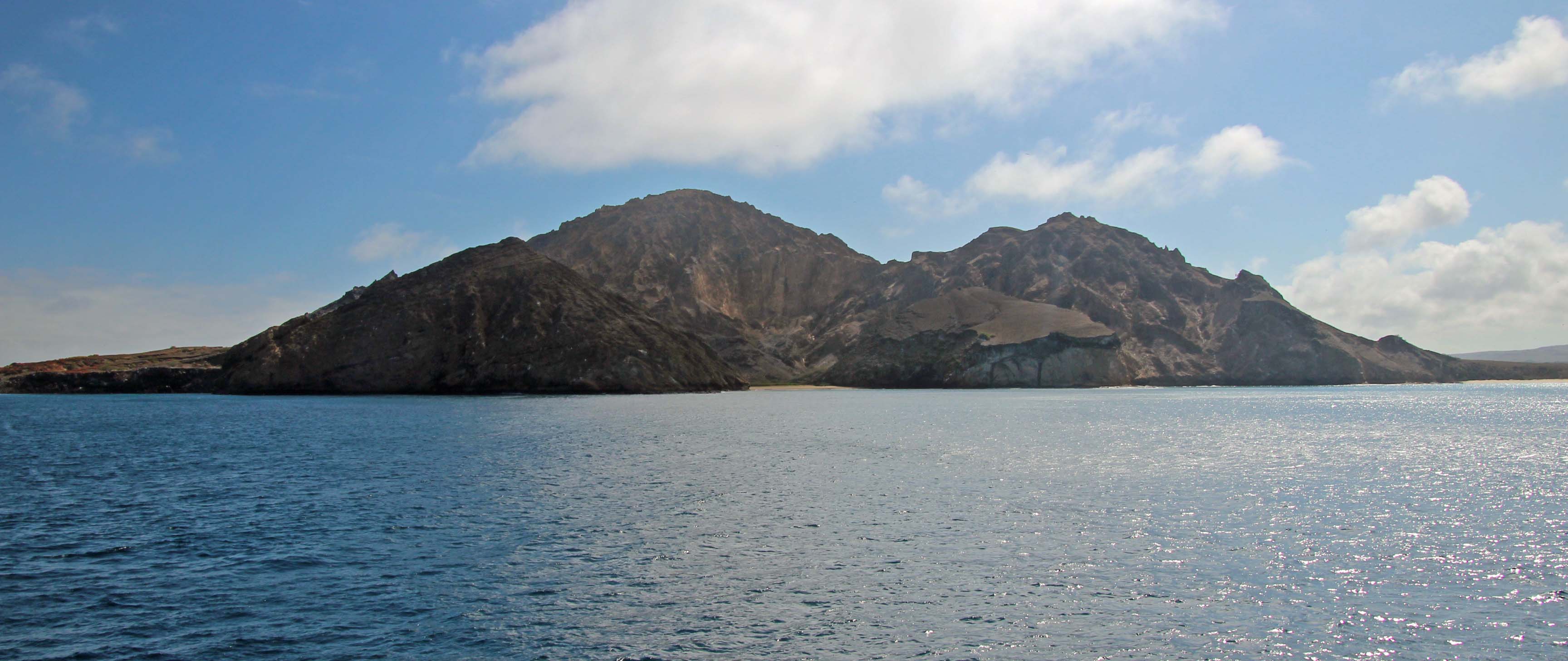
Back on board we went through the washing routine with our gear, showered and headed to lunch. Today was a Spanish inspired lunch with lots of delicious choices. We had a little chill time while the ship repositioned around the island, just off Baltra and North Seymour Island. As the ship moved north we closely passed two protected islands: Daphne Major and Daphne Minor. These treeless islands experienced severe drought in the ’70’s and as a result their finch population had to adapt to eating much larger, harder seeds. It is very protected and is the site of finch studies. Moving along the cliffs we spotted some of the red-billed tropicbirds fishing.


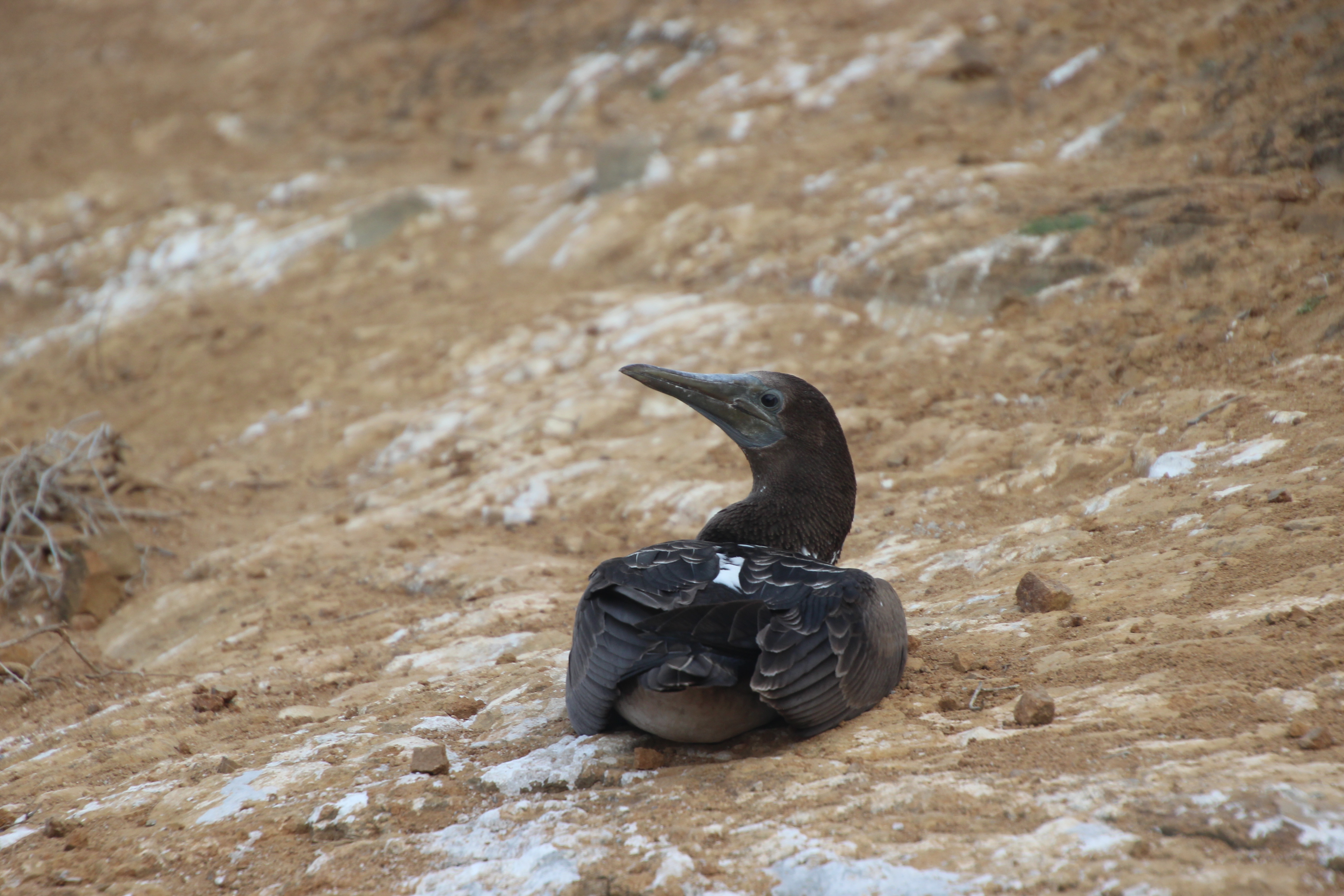
Doug skipped the 3:00 snorkel but Jackie went out on this deep water snorkel that she said was a bit rough with some of the same fish and was back onboard by 4:15. It was a quick turnaround for her, as we both took the 4:45 tender for a dry landing on the rocky coastline. This was a big nesting area for the frigate birds and blue footed boobies. There were lots and lots of frigate birds soaring around, some who would try to snatch fish from the nesting boobies, others hovering just above us.
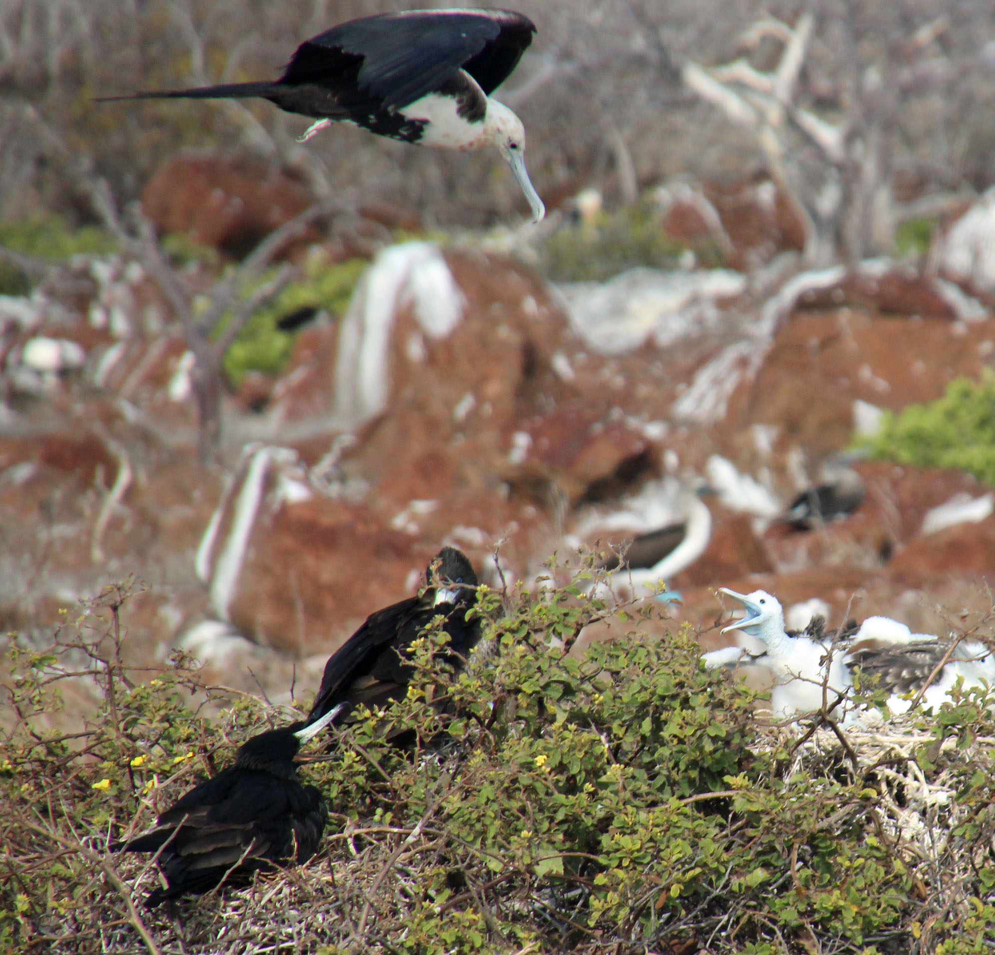


Of course I was clicking away with my camera and also filming with my gopro camera the whole time – carefully stepping over the many rounded rocks and around the sleeping sea lions. I was filming a very curious juvenile frigate bird who was just a foot or so above Jackie when he shifted over to me and came in way way too close. I backed away as his long hooked beak headed straight for me. What else could you do, their wingspan was nearly 4 feet across and I really didn’t want to swat at him – so as I was shouting “too close, too close” I toppled over some rocks and went down. Everything was fine, I was just a bit humbled and embarrassed by this silly bird. Yes, it’s on video.

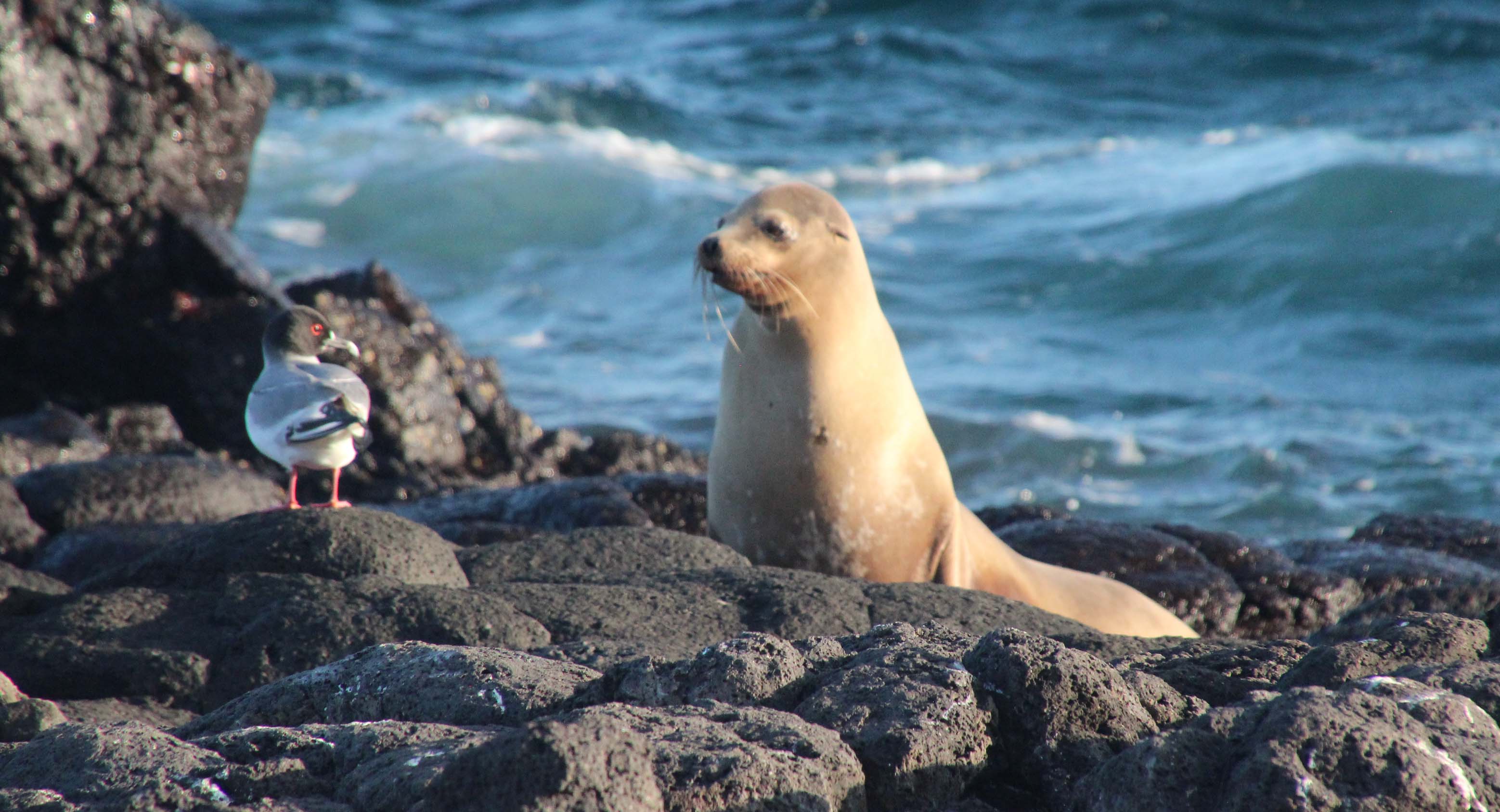
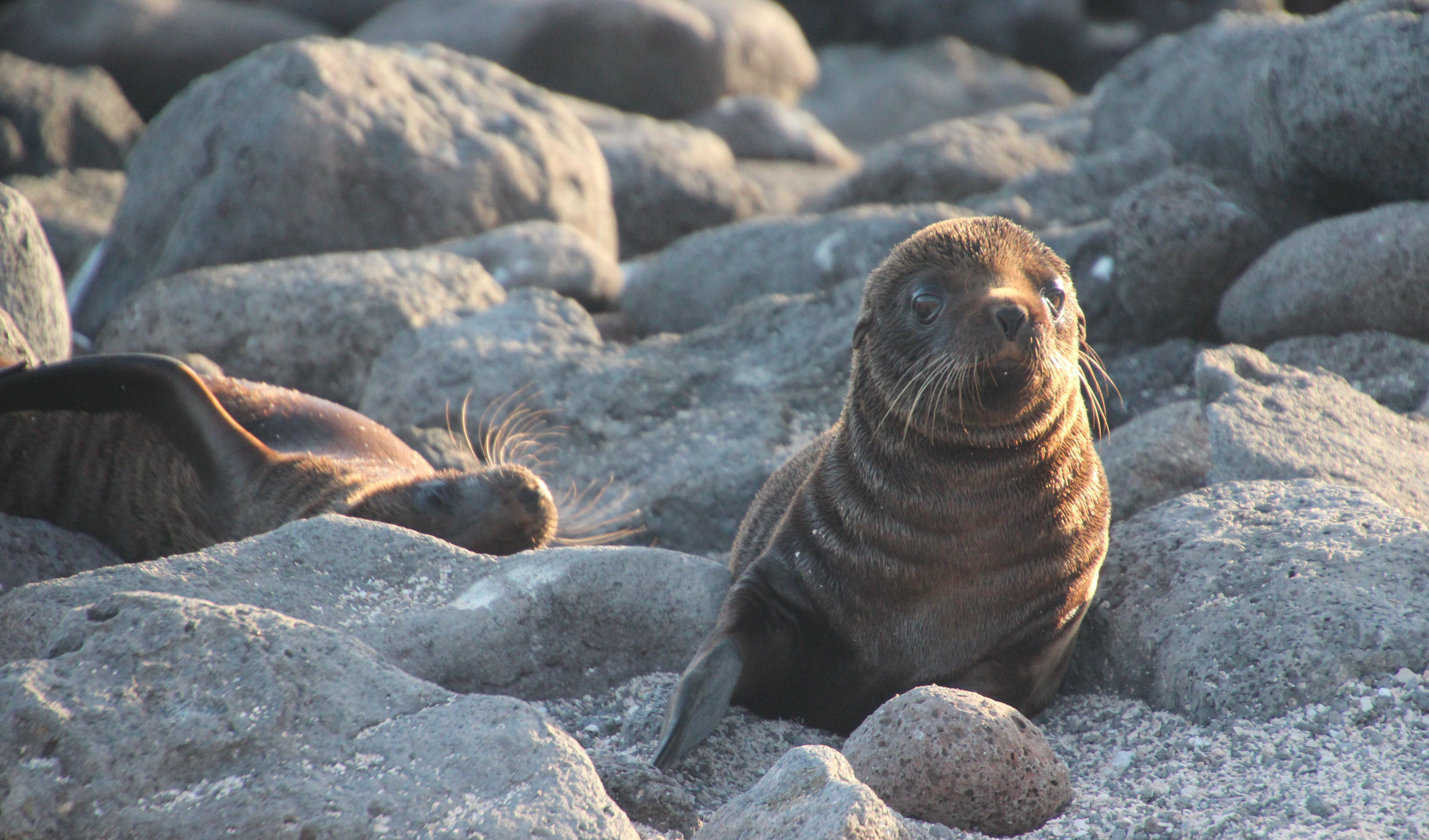
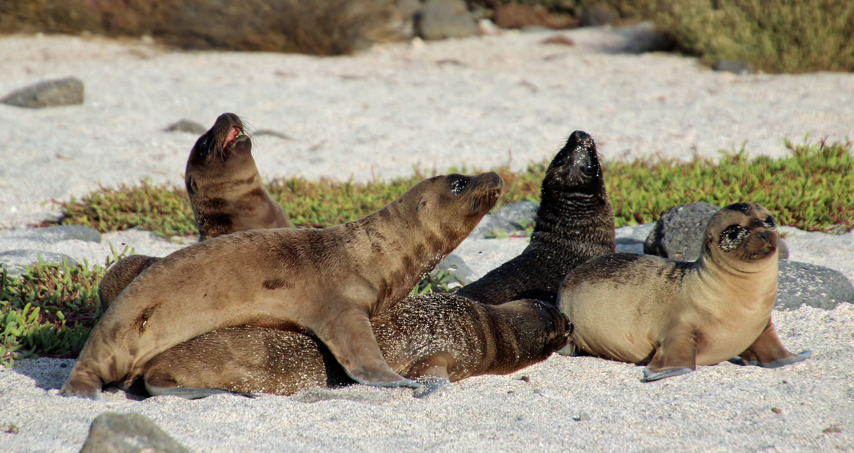
Further along we encountered a cute group of three sea lion pups flopping about. The group circled around them to take pictures and the pups kept creeping closer and closer to us. Once again we were telling them “too close” but they didn’t listen of course and they curiously kept advancing. It was really quite amusing watching as another couple of pups joined them and there was much barking and jostling and flopping around. Very special and up close look at them.

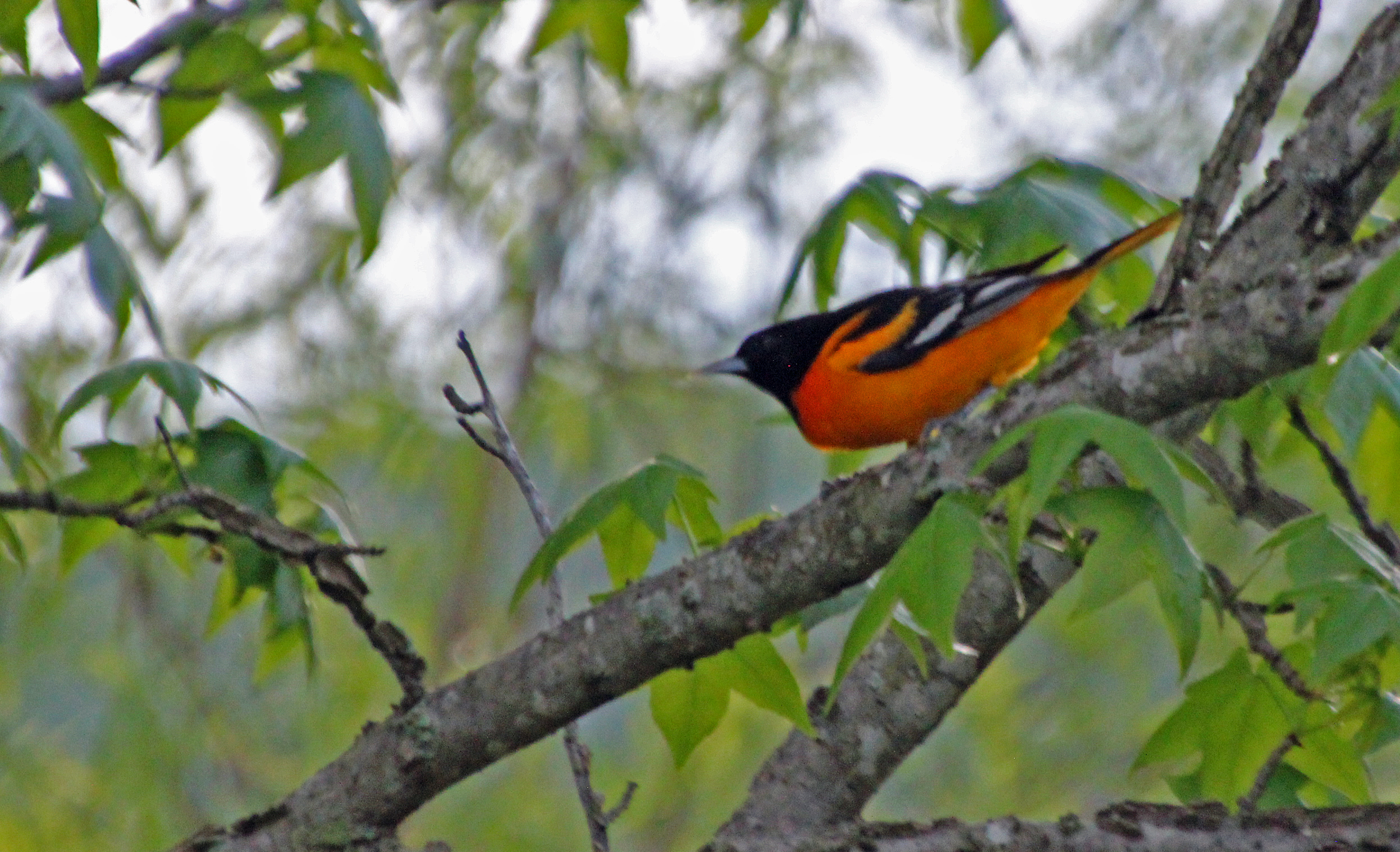
Onboard for the drink of the day – the Yellow Warbler (well at least I got the drink, if not the photo just yet) – dinner and then choices for tomorrow’s excursions. Jackie has been very careful on this trip with her dining choices, since she has an allergy to shellfish (crab, lobster, shrimp) that she wants to avoid. The cruise line was advised in advance and our servers have always asked, but somehow something was overlooked. She had a rough night and the next morning just wanted to stay in bed. I shared that with the maitre’d and he ordered up a bowl of chicken soup for her and followed up all day with how she was feeling.
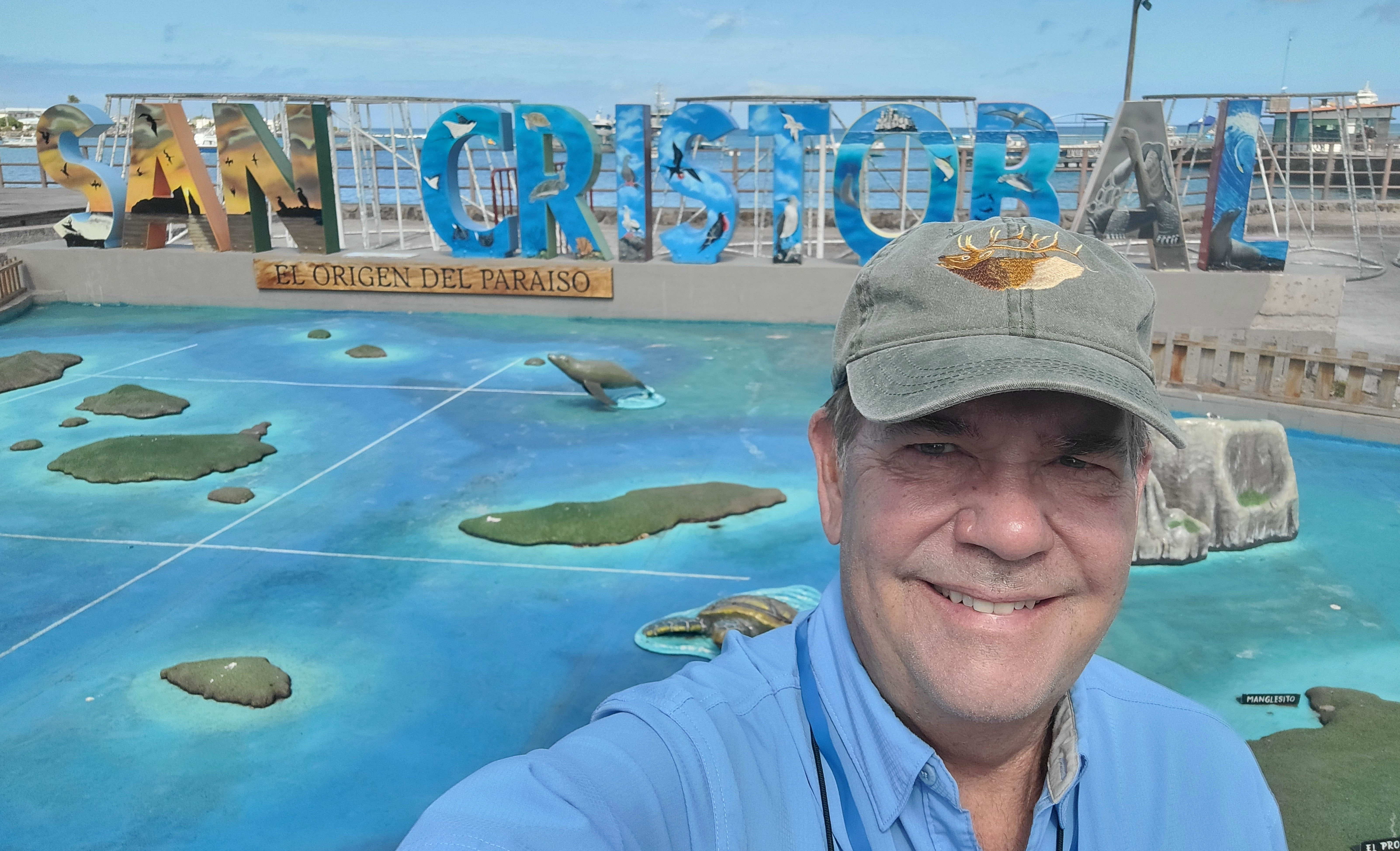


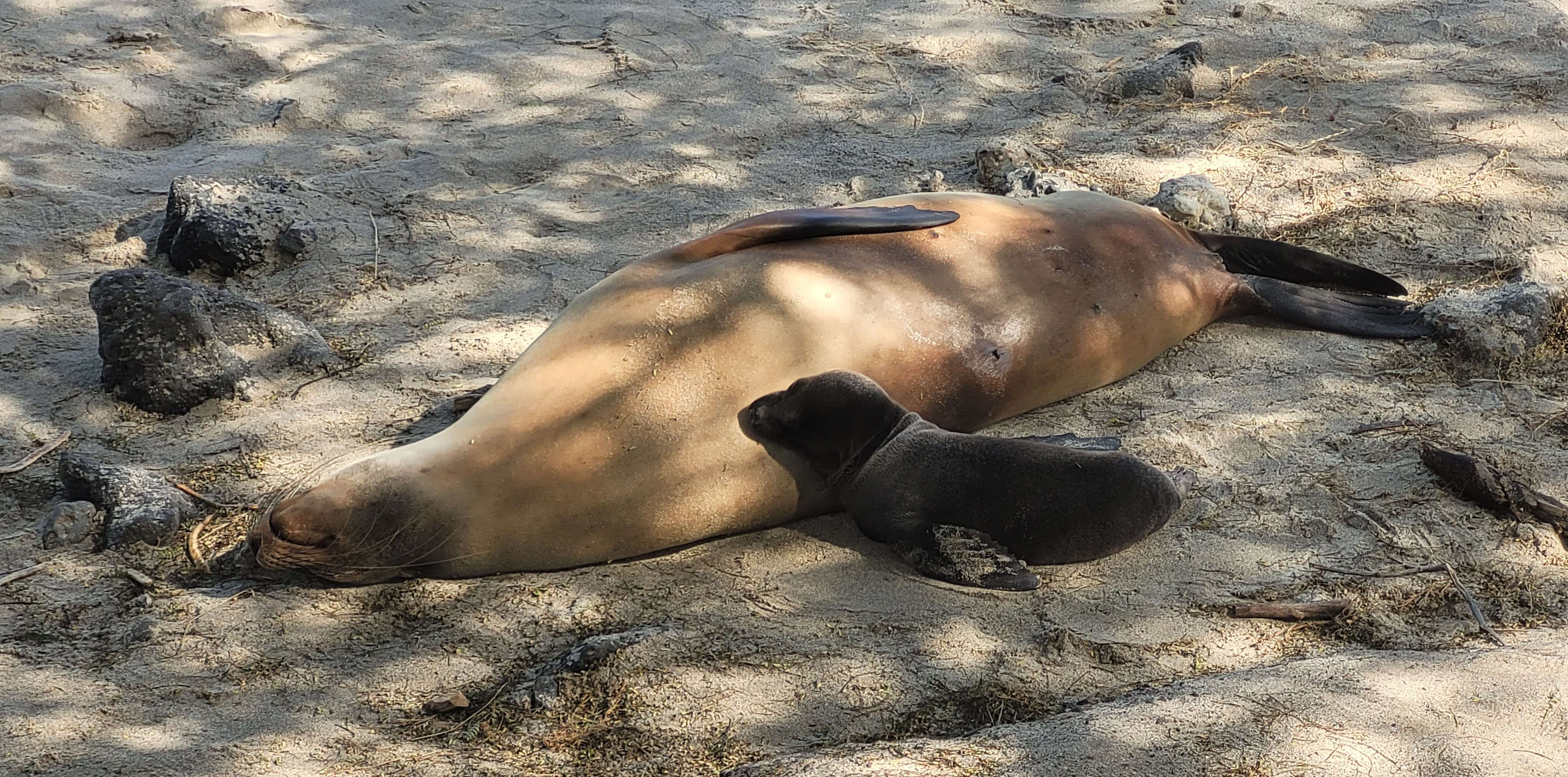
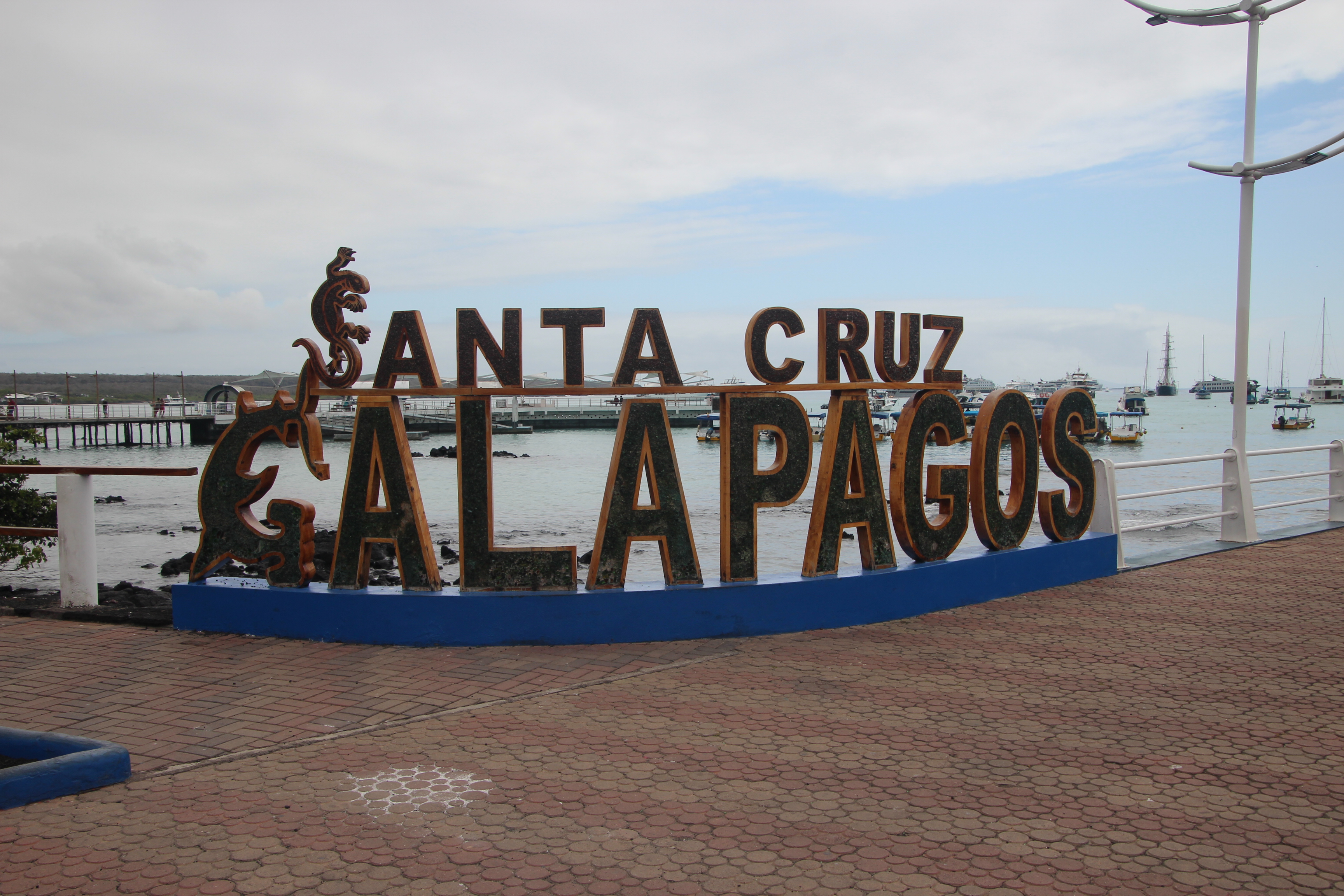
The morning activity was a trip ashore on San Cristobal Island to visit a nature center and then have time in town for shopping or wandering. Lots of sea lions on shore and laying about on sidewalks and benches – you had to once again watch your step. I watched several pups splashing around in the tide pools. Town was pretty quaint, with lots of open air cafes and shopping nooks. I snapped pictures, did just a little shopping and was back on board before lunch. It was a rather busy port compared to every other spot we visited. Only 3% of the islands are inhabited, but where they are it is pretty crowded.
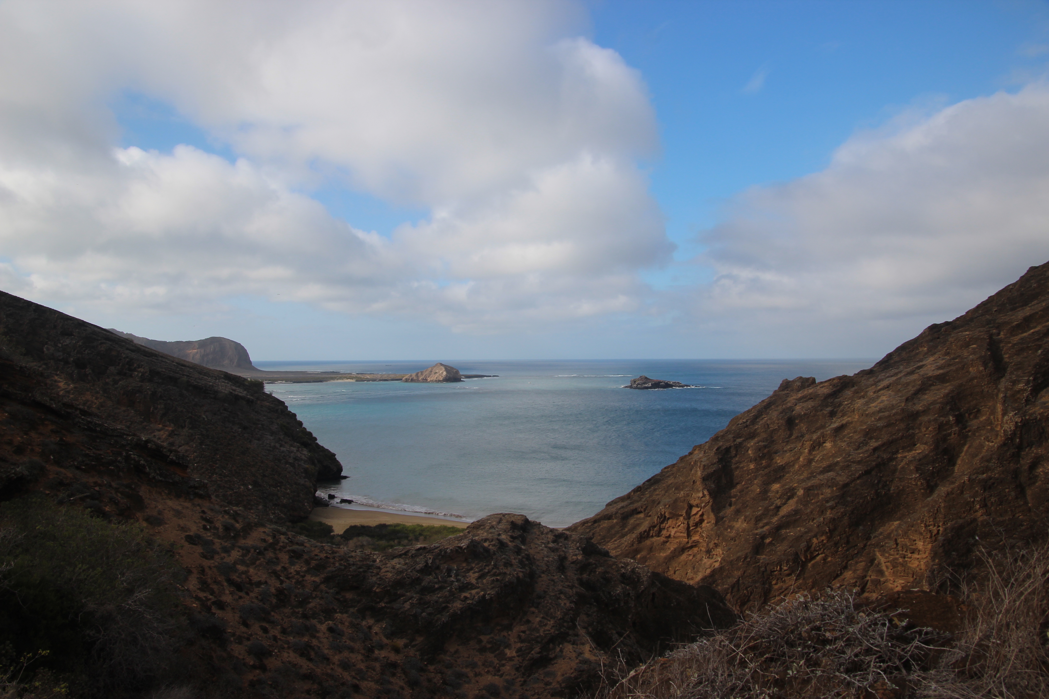
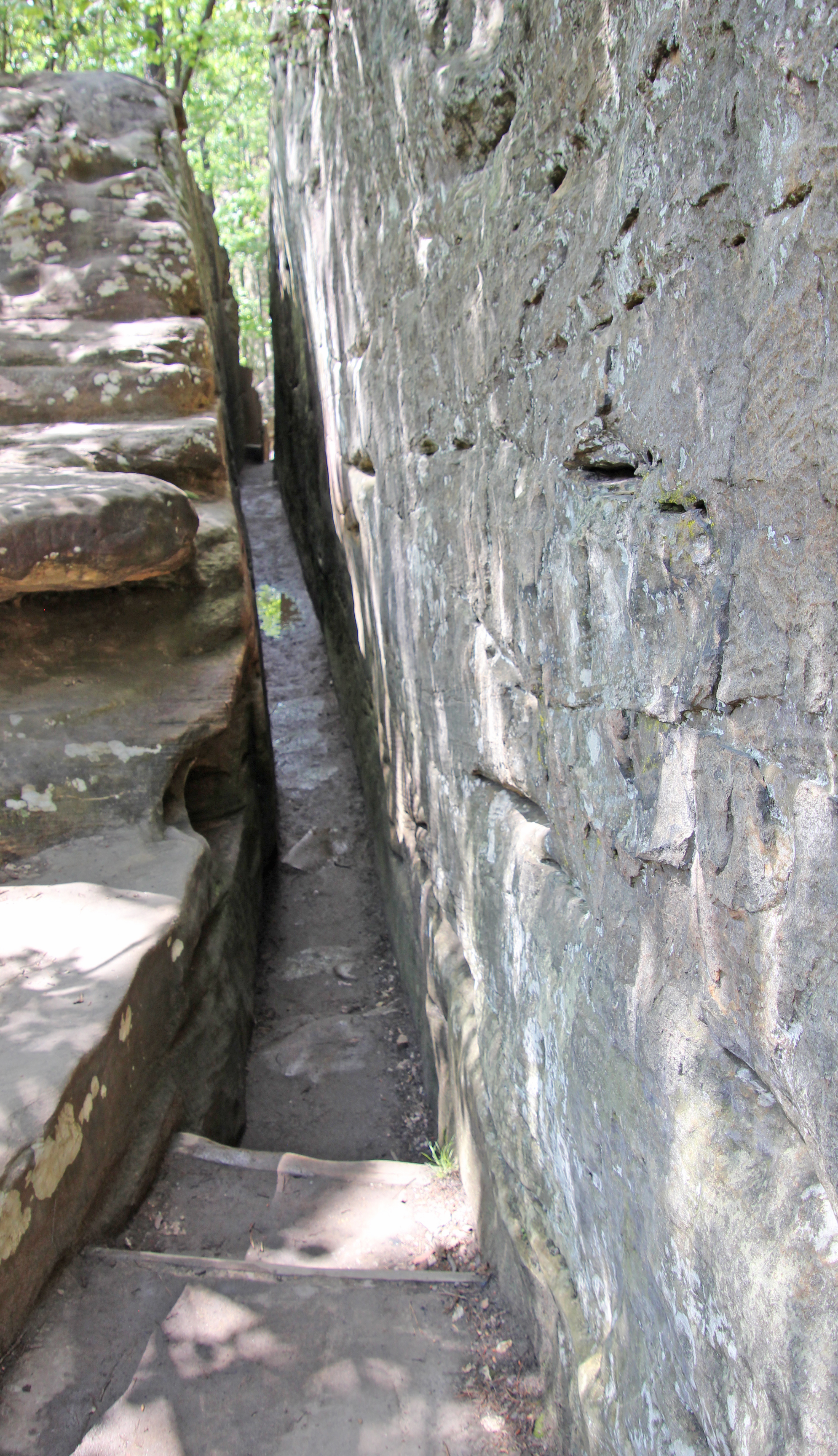
Jackie was still not feeling too good, but I told her it was not a real important excursion day and to stay aboard and rest. We had some chill time again onboard as the ship repositioned off Punta Pitt and we waited for our scheduled time to visit the island (visitation is strictly controlled). At 4:00 I boarded the tender for a wet landing, then changed into dry socks and shoes for the long hike up and around the island. This was a hike up a dry, tight creek bed, much like a small slot canyon, and it was a nice challenge. You pretty much had to watch your footing the whole time, but as I stopped to get a picture of the blueish lichen on the rocks I noticed something odd on the rock ledge. Oh, wow it was a small owl. I pointed it out to our naturalist, who got very excited to see the Galapagos barn owl. It was just roosting on the rock, not paying a bit of attention to all of us who were snapping lots of pictures. Nice catch.


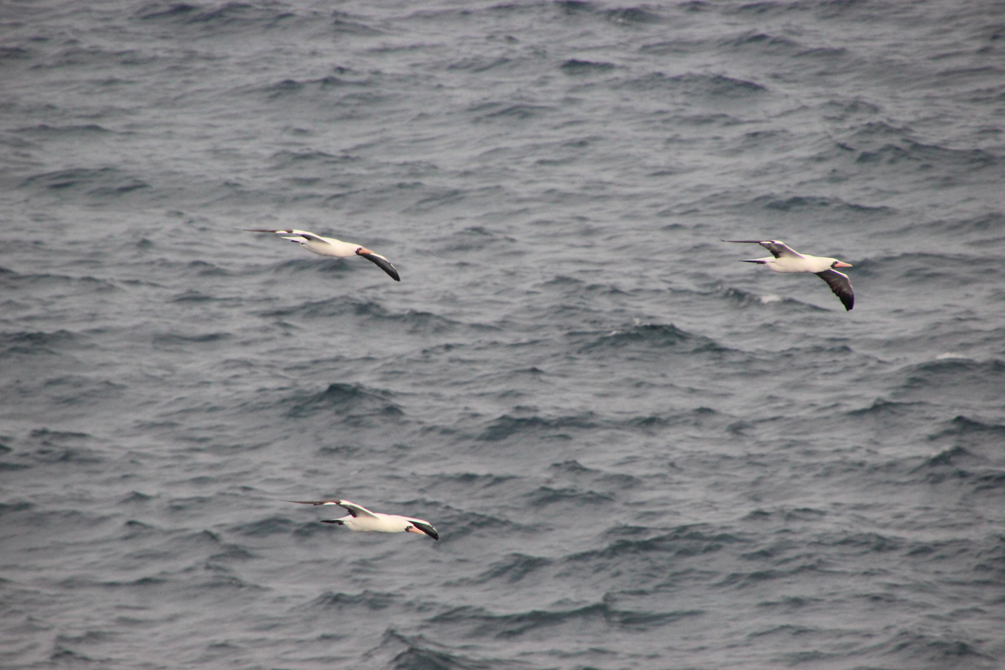
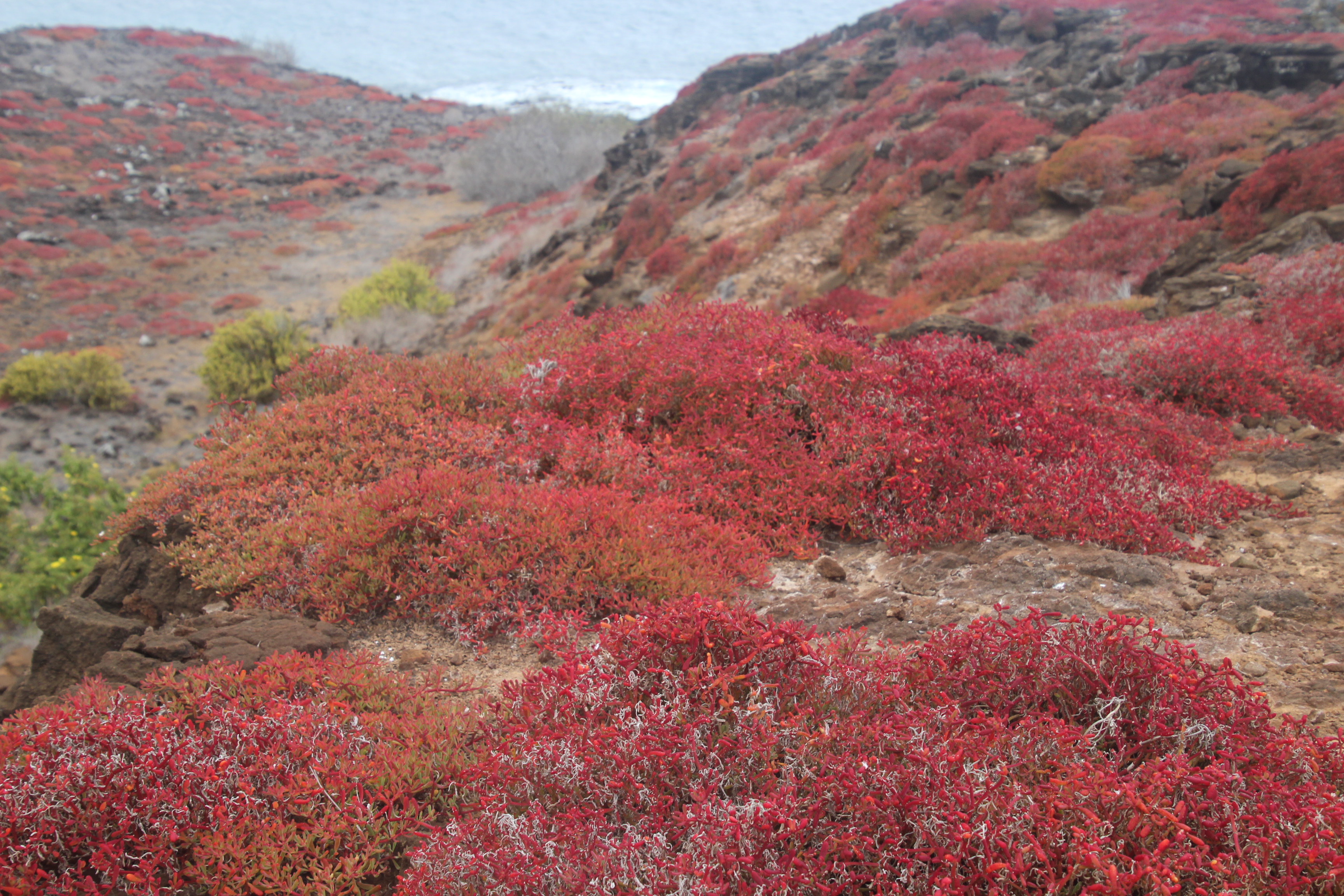
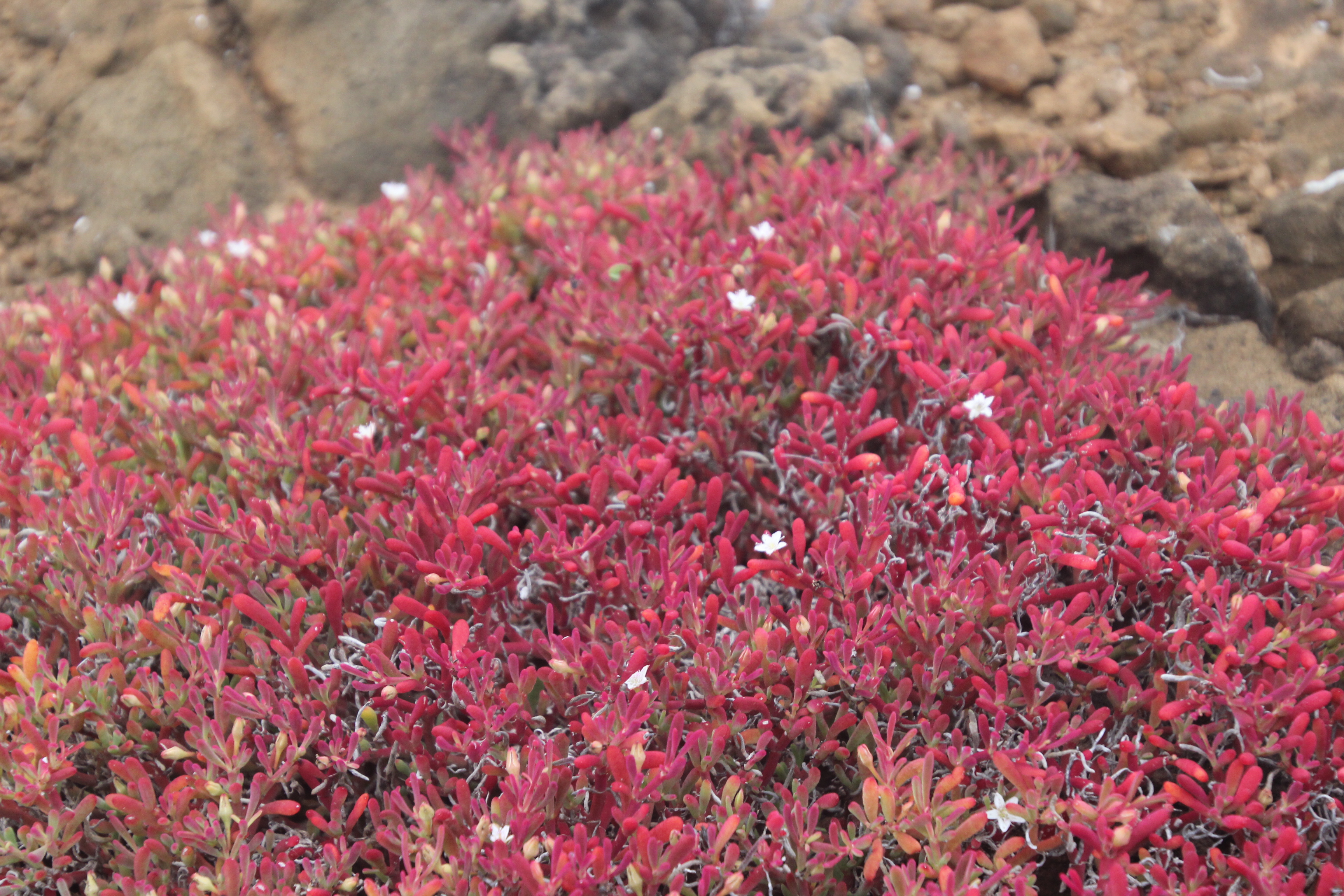
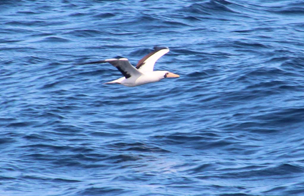
Further along the hike we reached some shrubs where blue footed booby chicks were sitting in nests – all white and fluffy. There was also a new bird for us, the red footed booby, both adults and juveniles. They were much more gray colored, but the feet were definitely red. Along the cliffs we saw the third booby, the Nazca booby. These were white with black wing patches and a yellow bill. Several flocks were flying along the cliffs and you could catch a few nesting out on the rocks. Very scenic area, with red and orange plants scattered on the rocks (probably a variety of sedum). We turned back and found the barn owl still sitting on the ledge, ignoring us.


Back onboard the ship Jackie was feeling better. She said the captain and other staff checked on her all day and they figured there must have been some cross-contamination. The chef prepared a special chicken plate for her and I tried their pumpkin soups and a flounder plate. The drink of the day was the red footed booby. After dinner we went up to the darkened 8th deck to look at the stars, even though we couldn’t find the Southern Cross or recognize any of the constellations (too many stars!).
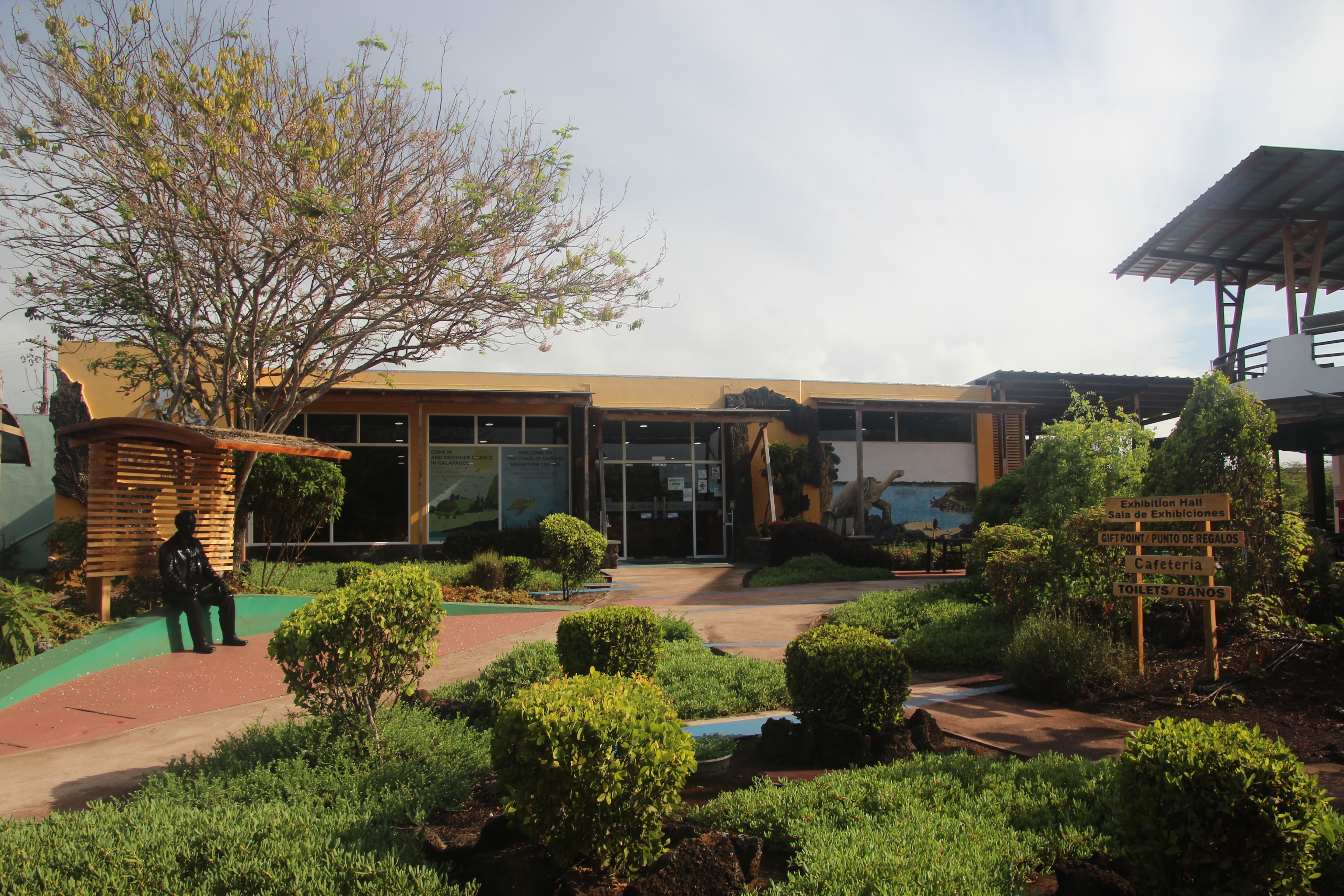

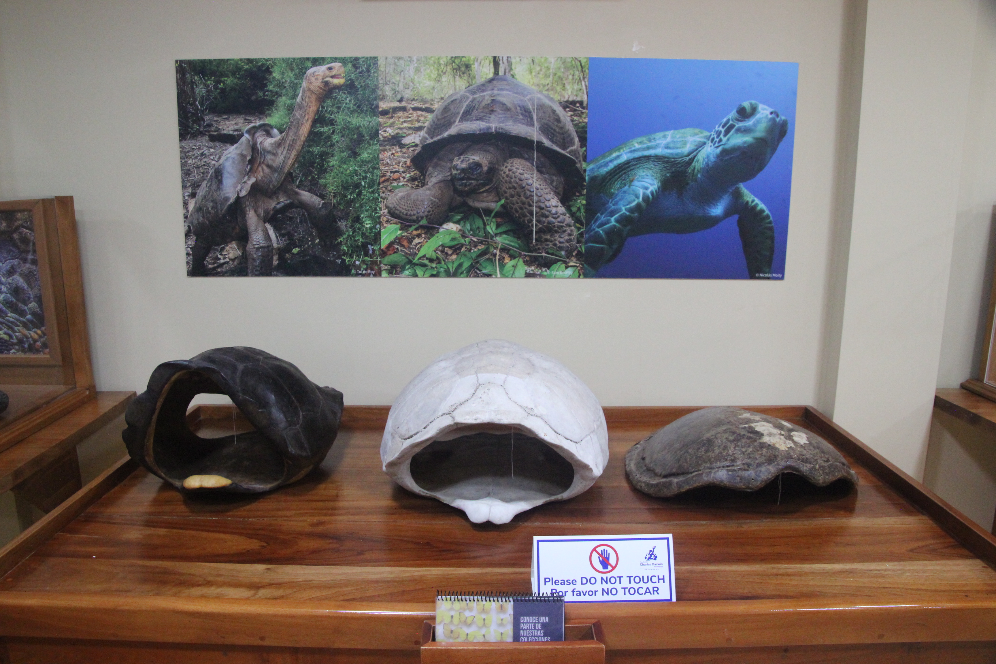


Saturday was our day to visit tortoises and to do some reforestation on Santa Cruz Island so after breakfast we departed at 8:00 for a dry landing at Puerto Ayora and a short bus ride to the Charles Darwin Research Station and a walk into the Fausto Llerena Giant Tortoise Breeding Center. We saw our first adult saddleback tortoises here and pens with many other younger ones. This breeding center is where they hatch and grow the tortoises until around 5 years old, then introduce them back to the islands where they are native. Great spot for lots of information about how the tortoises were removed so heavily by whalers and pirates as a long-lasting source of food onboard their ships and the efforts now to repopulate them.


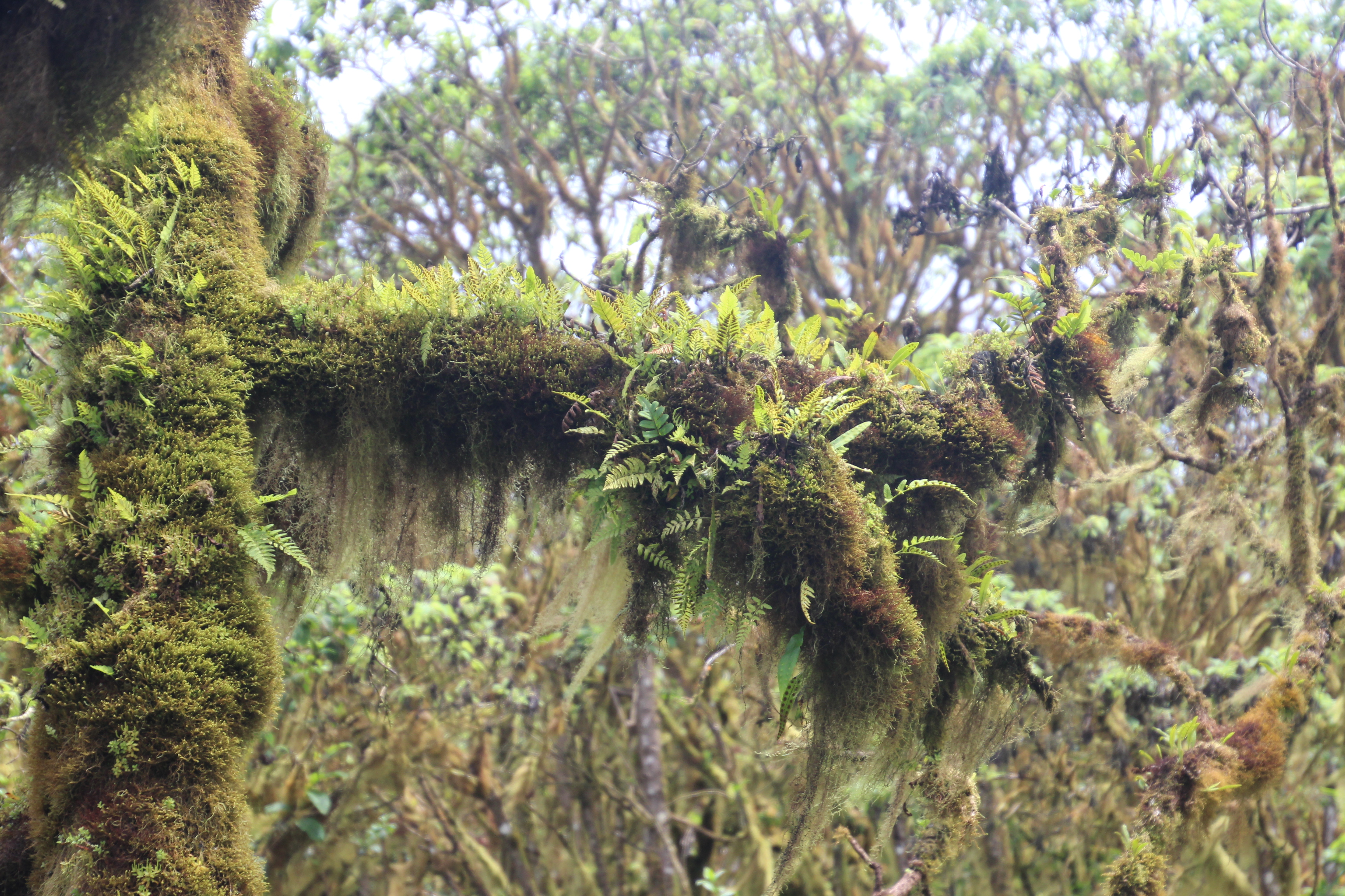
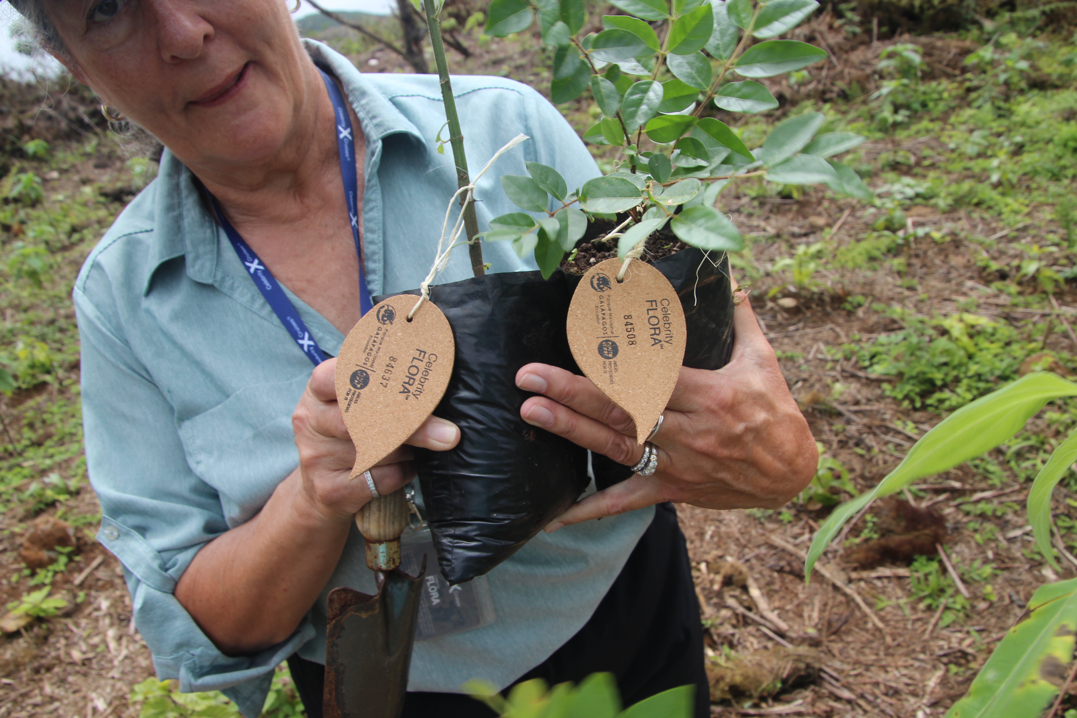
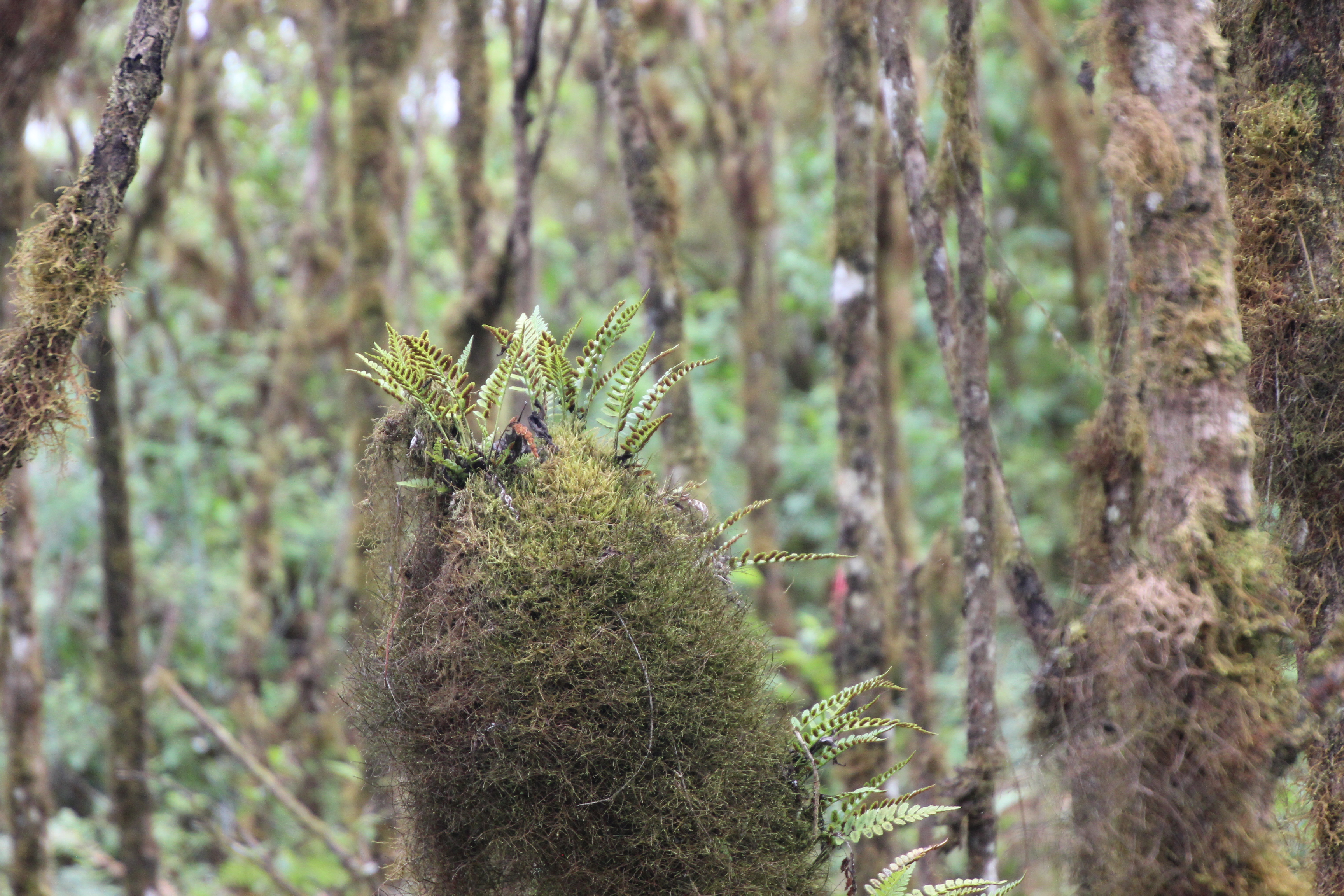
Walking back to our buses in town we had some time to shop for shirts, souvenirs and chocolate. We made sure to get some that was tagged “Darwin’s favorite chocolate.” Right. Chocolate was top of his list. Our next journey was up into the Highlands for a tree planting activity. We hopped out of the van and found our sizes of rubber boots before hiking into the green, tropical Highlands to plant some Galapagos Scalesia trees to replace the cleared invasive species that had taken over. This tree is important to the island because of the lichen that grows on its branches and traps moisture from the air. Each of us had two saplings to plant, with tags that indicated our specific cruise and date, so if we choose to return in years to come, we might just be able to find our trees.

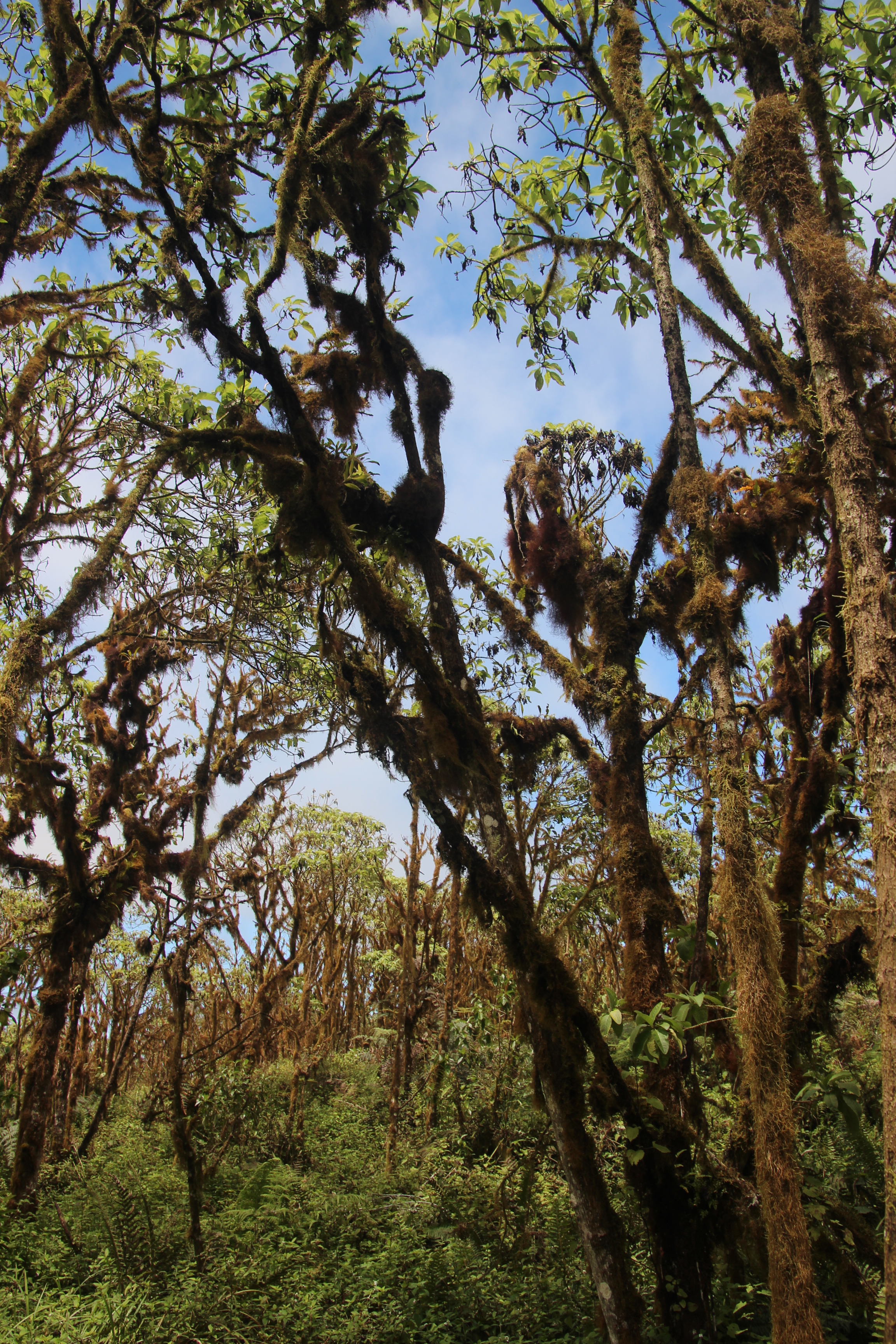


Changing out of our boots and back into hiking shoes, we boarded the vans for another short drive down the mountain to the El Mansanillo Ranch and a tortoise preserve. The Highlands were rather lush, filled with pastures of cattle, groves of fruit and greenhouses of vegetables. It helped us understand that when our cruise chef said they locally sourced all of their food for the cruise, it was indeed possible from Santa Cruz island.
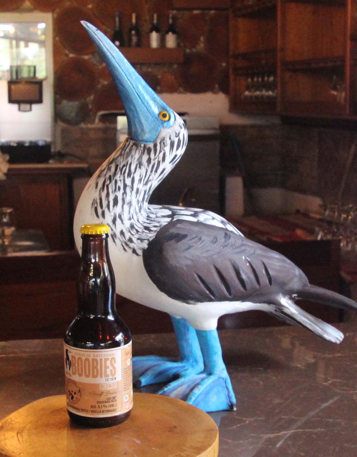

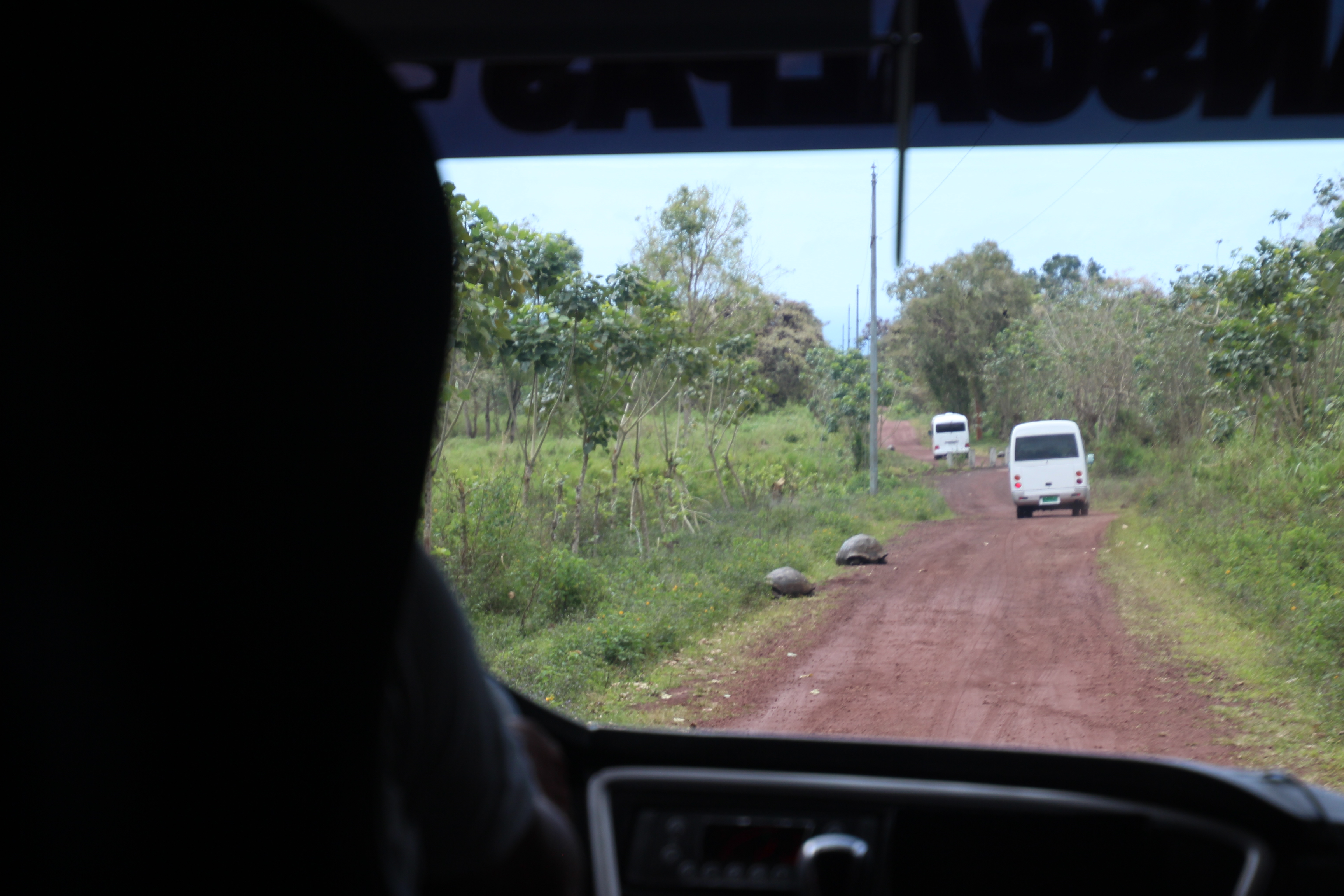
At the ranch we were greeted in a beautiful open-air pavilion for welcome drinks and a delicious buffet lunch. One of the featured drinks was their own Boobies Beer, which was a nice blonde ale. After fruit, salad, ceviche, fish and dessert – plus wine and shots of their distilled moonshine – we were treated to a local high school dance performance of traditional dances. Very colorful and entertaining. But of course the big event was stepping out to find the giant tortoises. Not too hard to do, since we had been watching these large moving boulders since we arrived. In fact they were on the dirt road leading to the ranch and our driver had to gingerly weave around them.


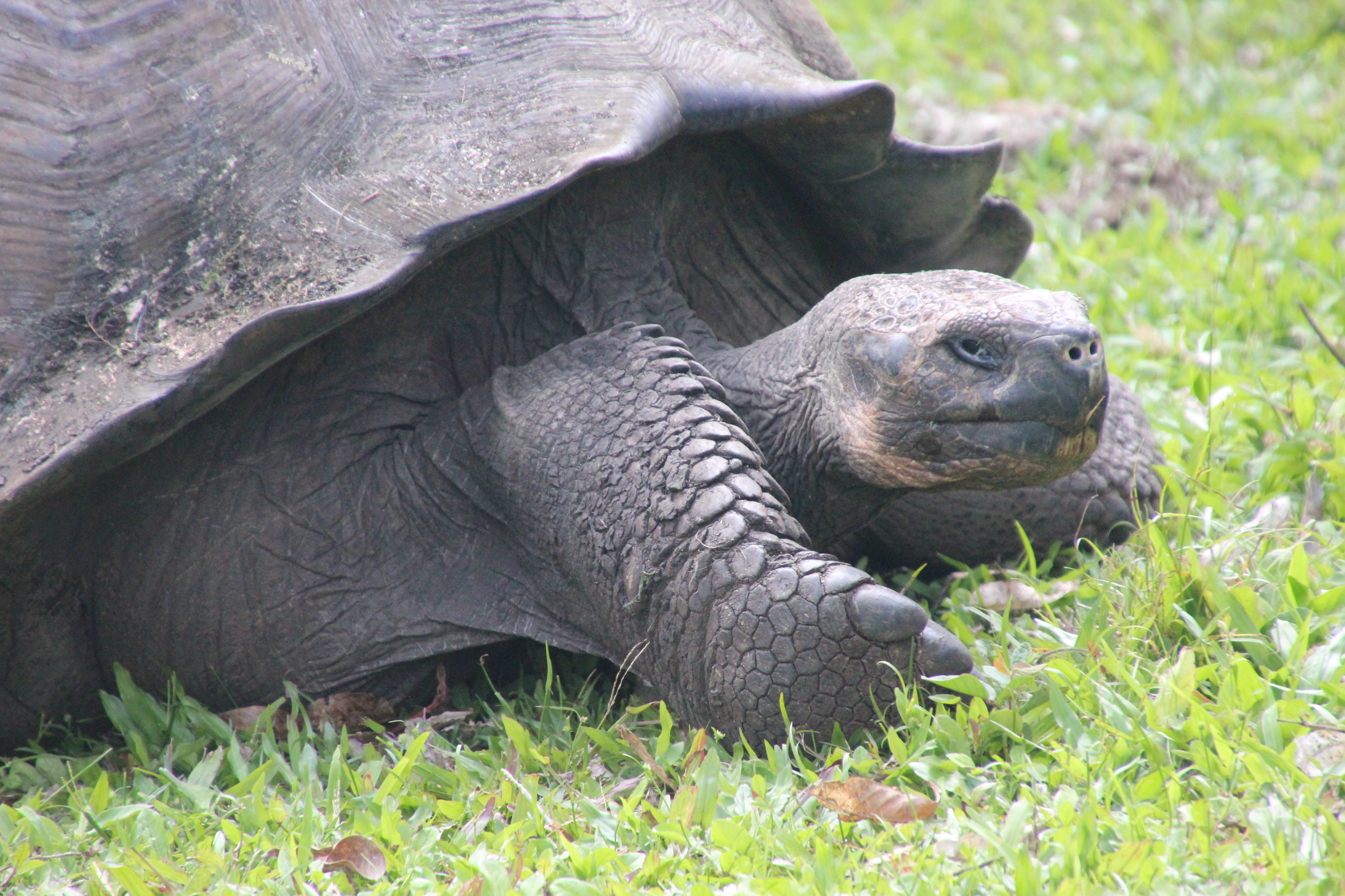


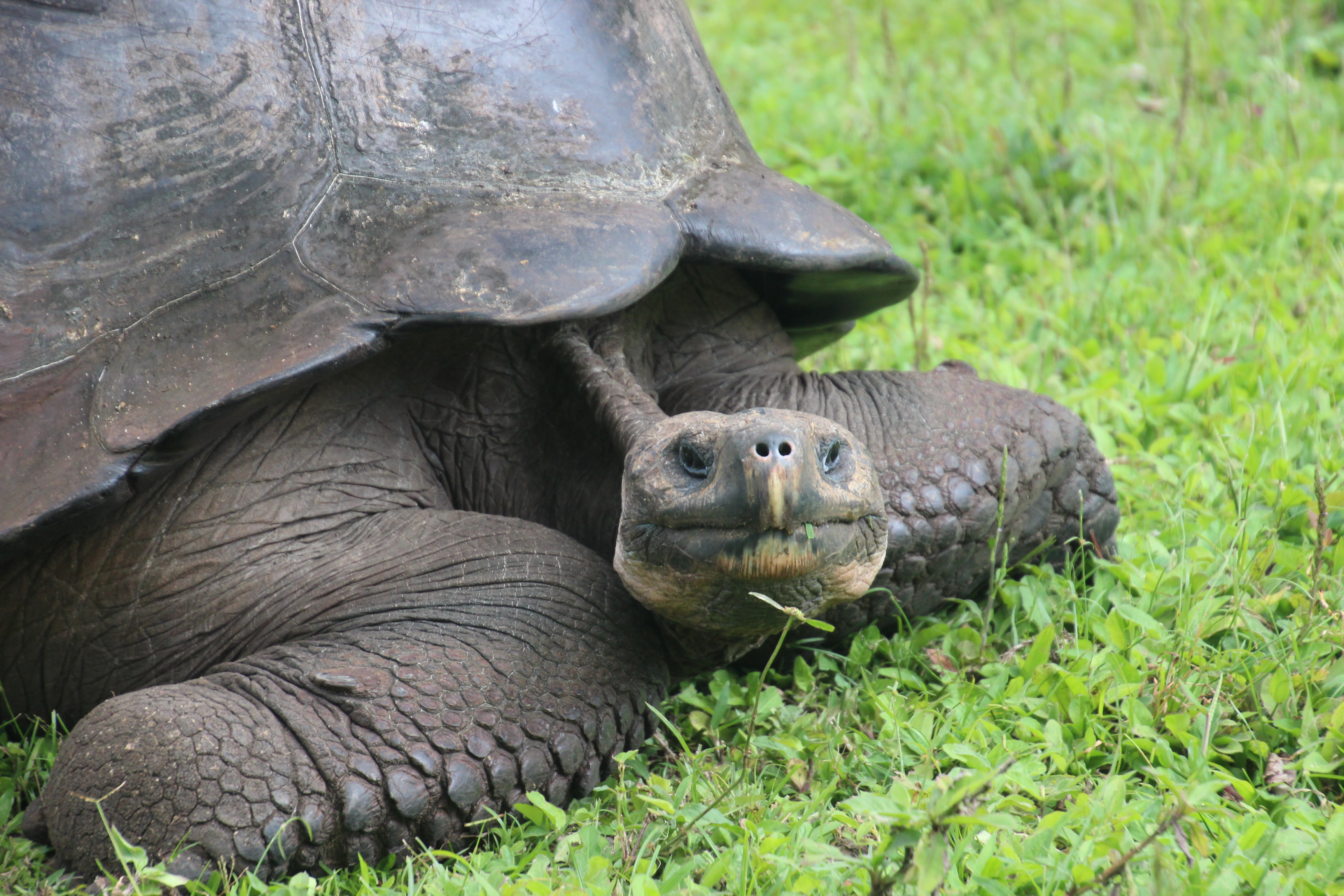
In the lush green fields we walked among the domed tortoises as they munched on grass, moved about, watched us carefully … and it all just seemed so strange. These animals were two and maybe three times our age. They had the freedom to go wherever they wanted on the island, they weren’t penned in. Wherever the food source took them is where they went. These domed tortoises had shells that differed from the saddleback tortoises we saw earlier, the result of adaptation that was all part of Darwin’s observations and concluding theories of evolutionary change. The food they ate (saddlebacks needed to reach the prickly pear fruit) determined how their necks grew and shells molded. The grass did not require these tortoises to have the long necks and saddleback shells. It was just amazing to see so many of these big creatures all over the fields and pastures.

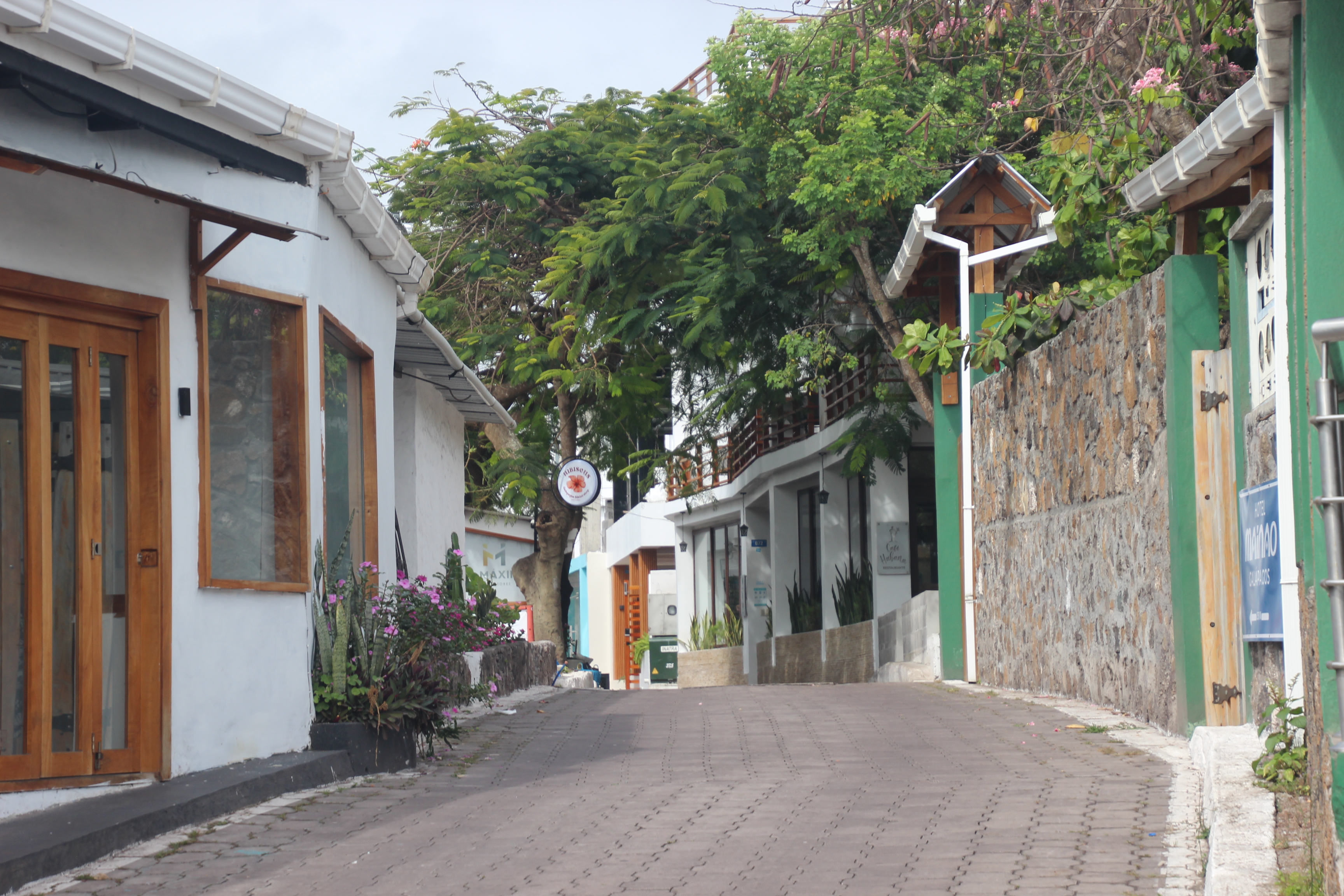


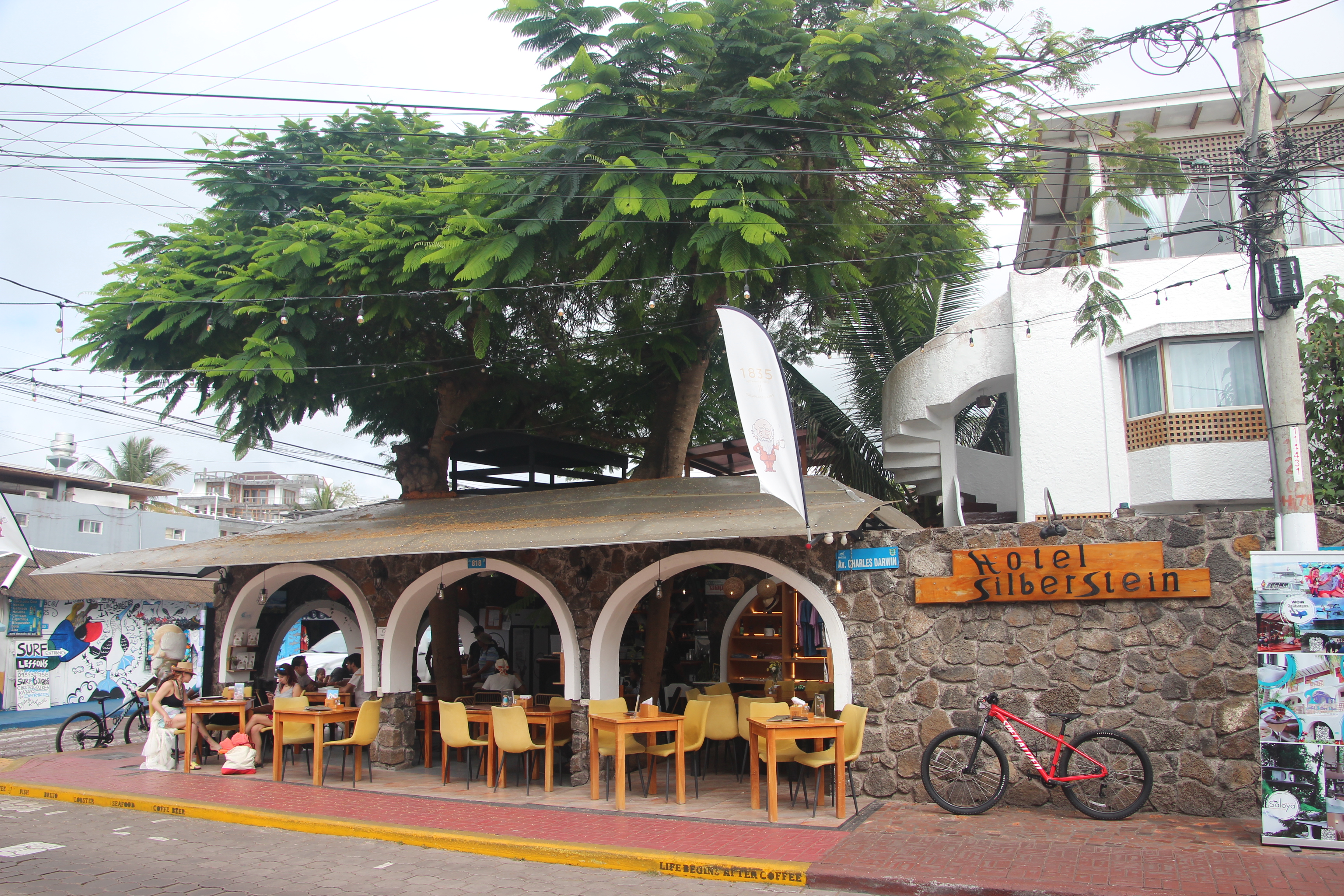


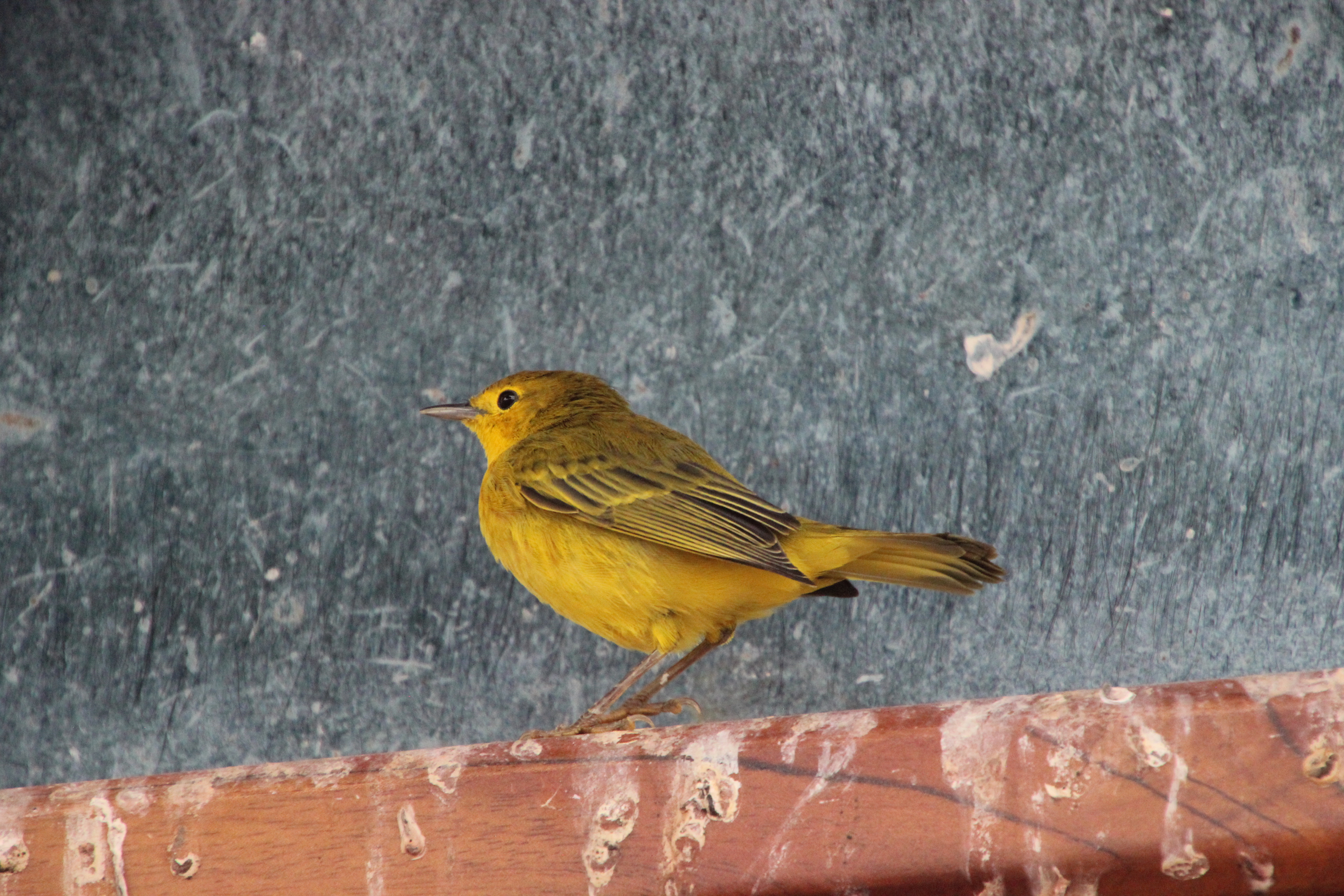
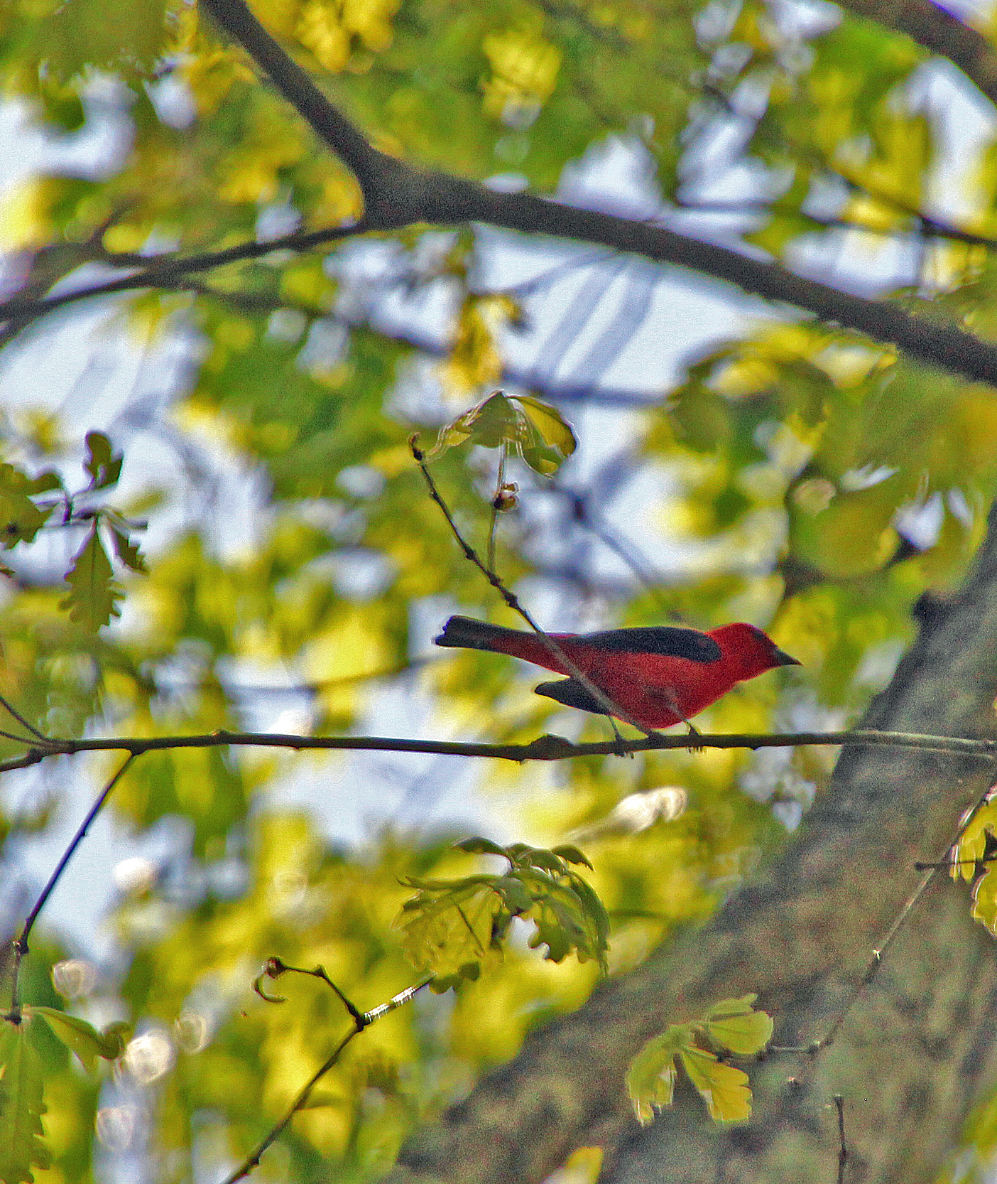
We had a little more time in town before heading back to the ship. This waterfront avenue was filled with pretty high-end shops and restaurants and was lots of fun to shop, even though we really didn’t have much extra room in the luggage for extra souvenirs. Oh, and I finally got a clear shot of that elusive yellow warbler – on a windowsill no less!
Speaking of luggage, our briefing before dinner was all about how to pack up before midnight, followed by a photo review of our week’s cruise adventure. Each of us received a jump drive with the powerpoint slide show to take back with us – and we toasted the entire crew with champagne. Dinner that night was special – a group of 12 of us who had become pretty close on the excursions asked to be seated together for the last night. It was a lot of fun, as we laughed and chatted about the adventures we all just experienced together. The meal was delicious, with most choosing the beef Wellington, while I had grilled octopus (sure hope it wasn’t the one we spotted). If I recall correctly, it was Ena and Al, Andy and Kristy, Carol and Kathy, Judy and Linda, Adam and Janice who joined us for that last meal (which seemed to have bottomless glasses of wine).
Well we did get our bags all packed up and outside the door for pickup by midnight. We were up early to leave the room by 7:30 and catch breakfast before hopping aboard the tenders one last time. The captain and crew were all there to wave us off, no doubt anxious to prepare for the next arrivals. It was a contented bunch who docked and rode the shuttle to the airport, just a bit sorry the adventure had come to an end but thrilled with the experience. We claimed our bags, passed through immigration, got our boarding passes and waited in the VIP lounge where there was food and water. Unfortunately, due to national elections the next day, all alcohol sales and service in the country were shut down for 36 hours. Ah well, we had our fill the day before.


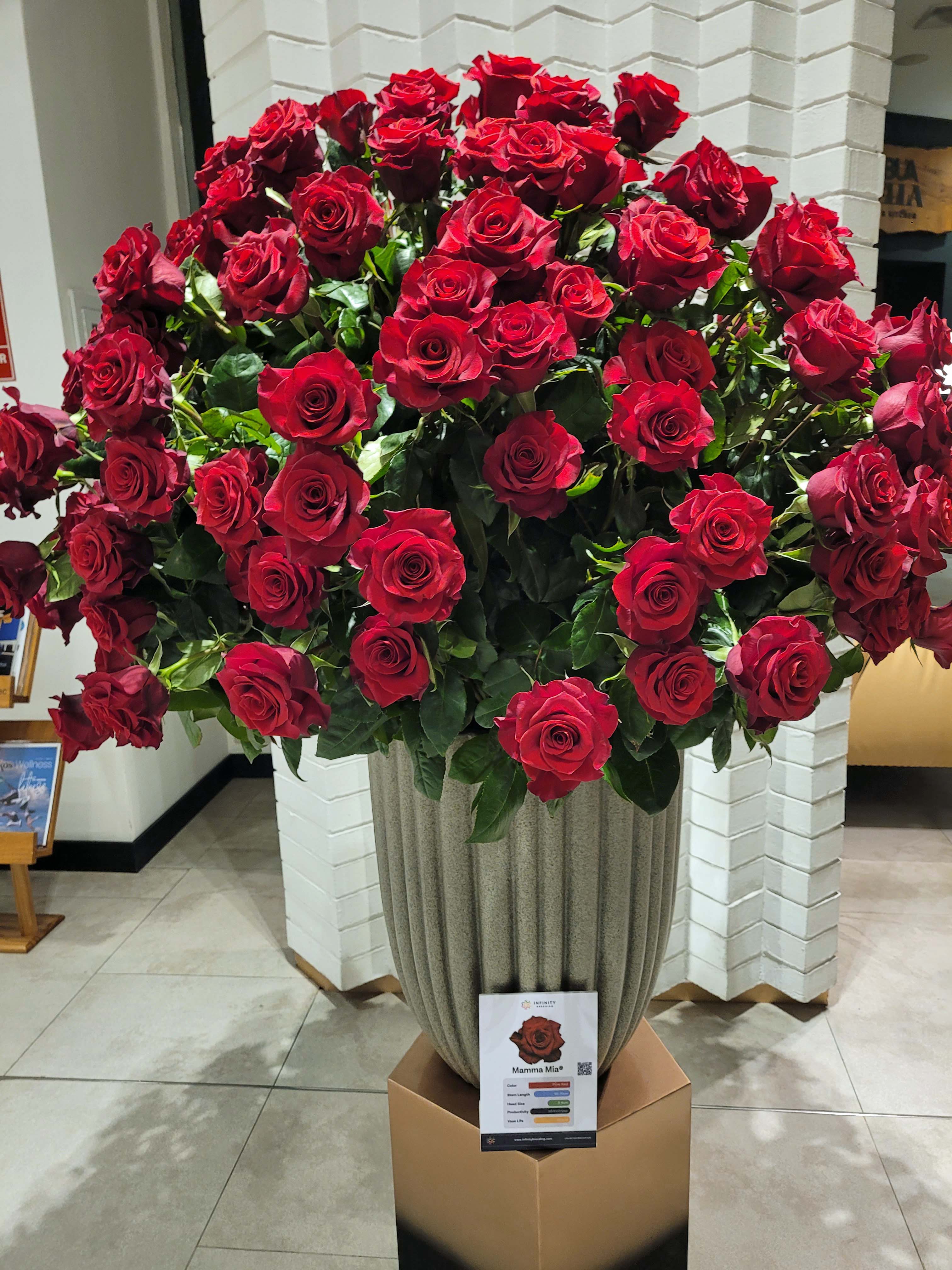
The chartered 2 hour flight back to Quito was just fine, with another delicious lunch served. One in Quito the group broke up in several ways. Some folks were headed to Peru for adventure, a few were going to the cloud forest in Ecuador and others had flights home a day later. We were part of the group that had an early flight back home the next morning, so we were escorted to a hotel near the airport: EB Hotel. This is a very posh euro style hotel that welcomed us with drinks (juice) and had wonderful rooms. Once again, the lobby was filled with large arrangements of long stemmed roses. Gorgeous. Dinner in their restaurant was included and once again I had grilled octopus with shrimp over fettucini, with coconut shrimp for appetizer and a chocolate mousse for dessert.

Breakfast buffet the next morning, early, and off to the airport by 6:30. Celebrity helped guide us through the self-check process for LATAM Airlines and we were set to board a 9:05 flight to Miami. There was just a bit of time for last minute chocolate and coffee shopping before boarding and we had no problems with the flight. We learned later that some of the group who had a red-eye back home had their flight cancelled and spent the night at a less-than-stellar hotel. That’s too bad.
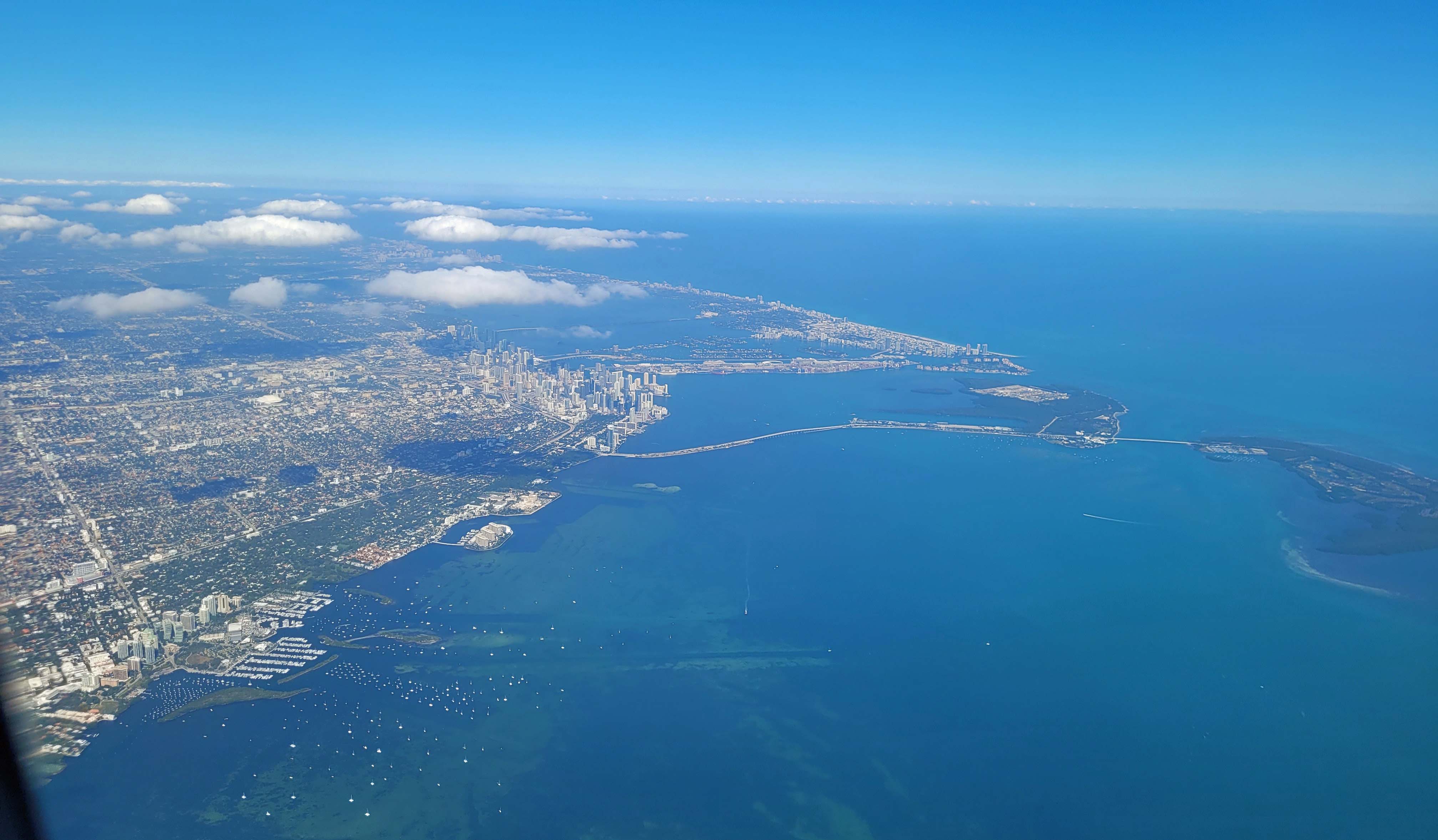
We connected through Miami and on to Atlanta, although neither of us found the Miami portion to be enjoyable at all. Completely full and not a very polite group of travelers. Perhaps we had been so spoiled with the Celebrity crew and escorts and the wonderful cruisers who joined us that nothing would have matched that experience. But we were soon back home chatting about the wonderful memories we had exploring the Galapagos Islands.
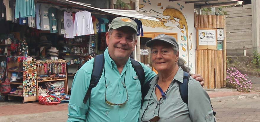
I hope you enjoyed this recap of our experience and will consider this for your future “life list.” We can both guarantee you won’t be disappointed. And when I have a bit more time I will edit the video I took and post it on my YouTube channel. Thanks for joining us on the adventure.


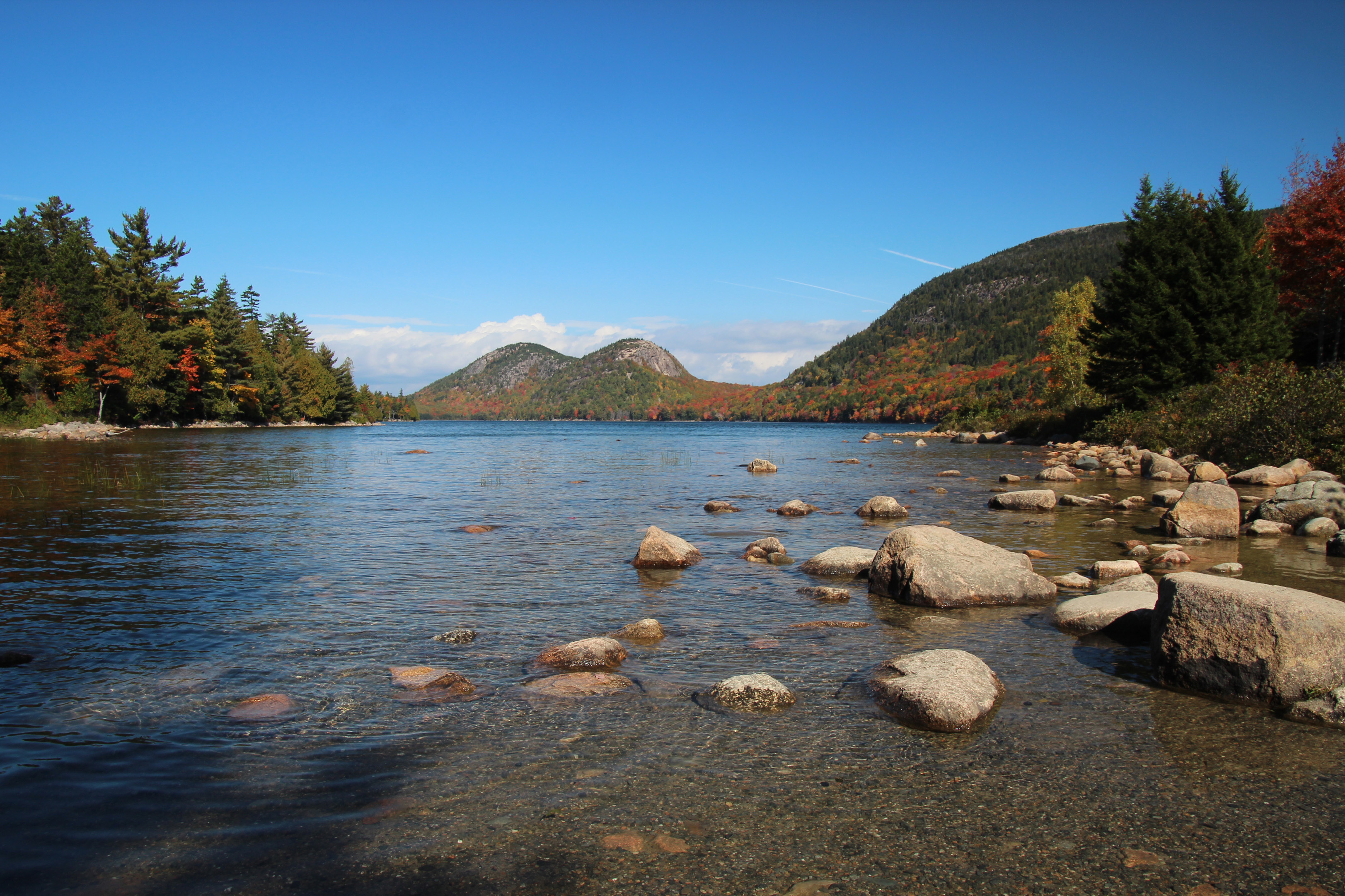


 Jordan Pond")
 sunset")
")

")

")


")

")
")

")
")
")
")
 Jordan Pond")


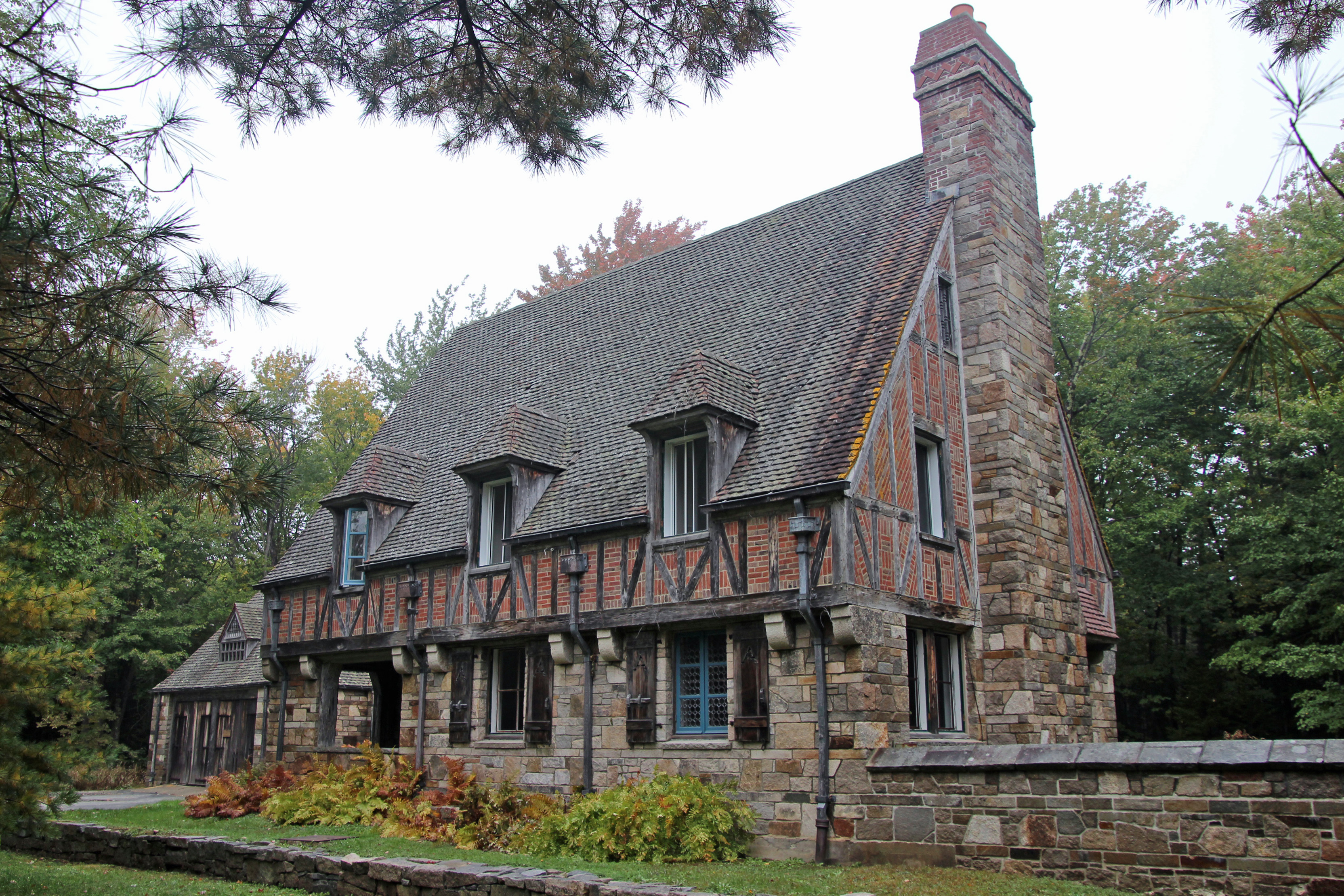
 Gatehouse")


")
")
")
")
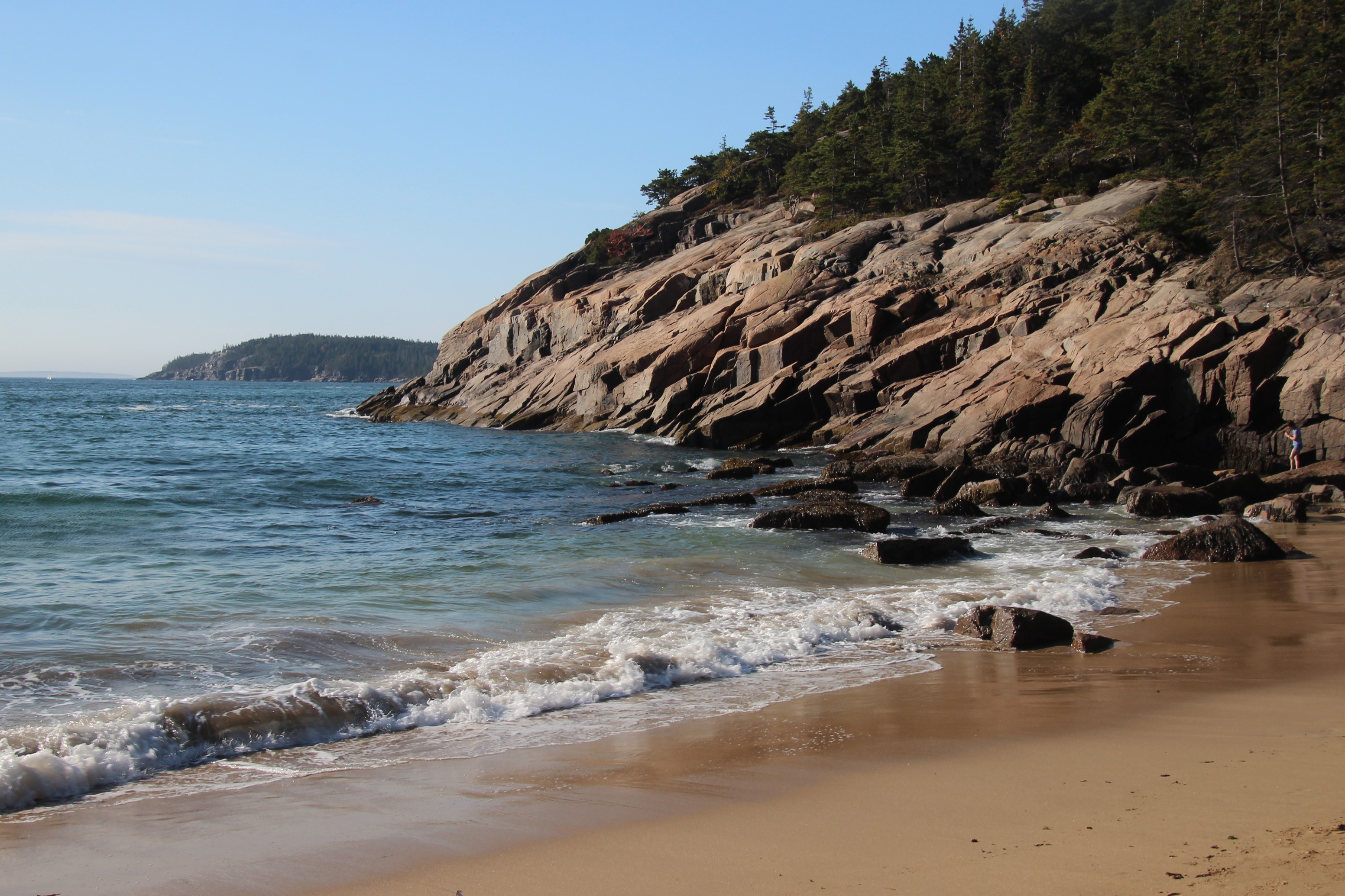
 thunder hole")

")

")
")

")
")
")
")
")


 Jordan Pond")


")


")
")


")

")

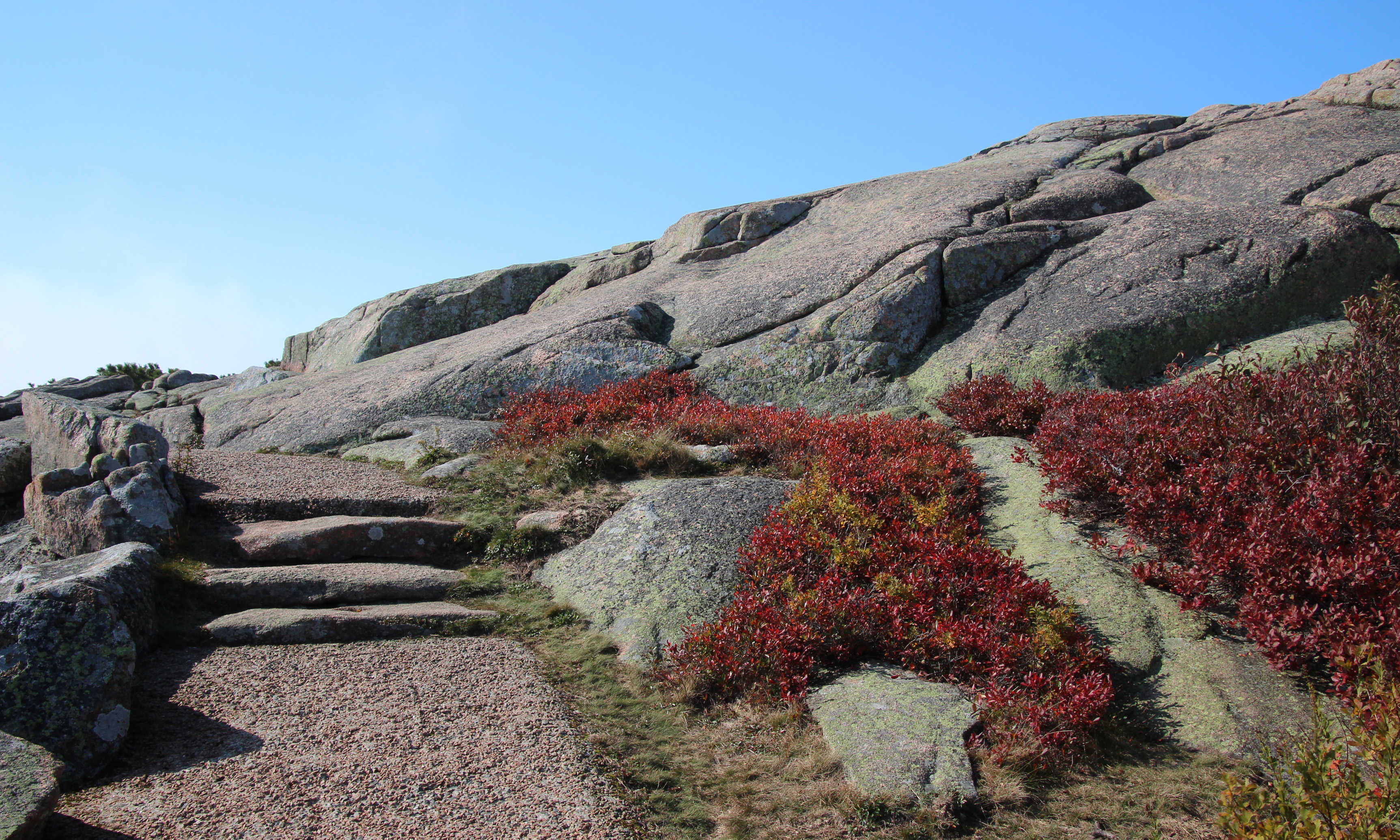
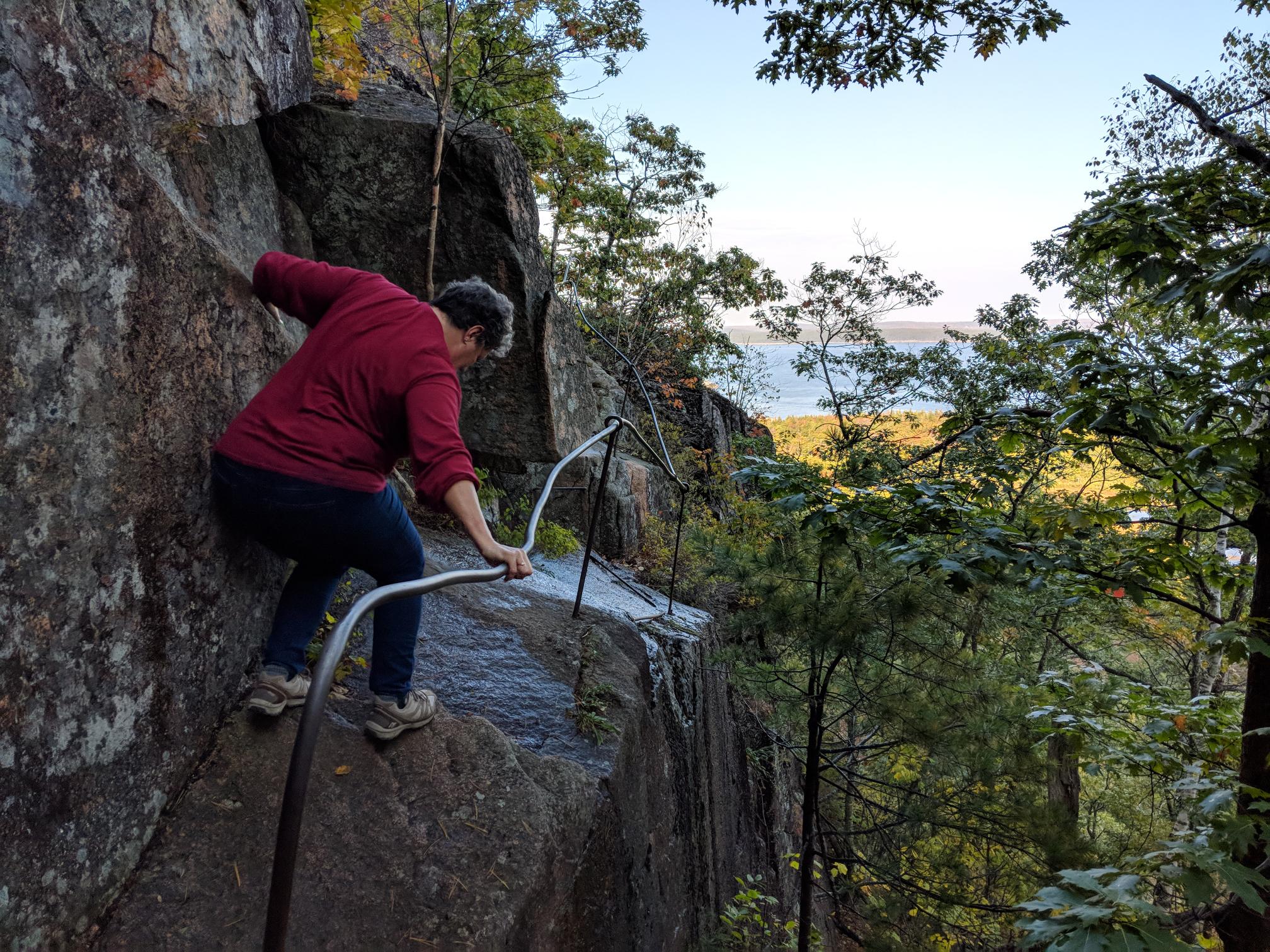
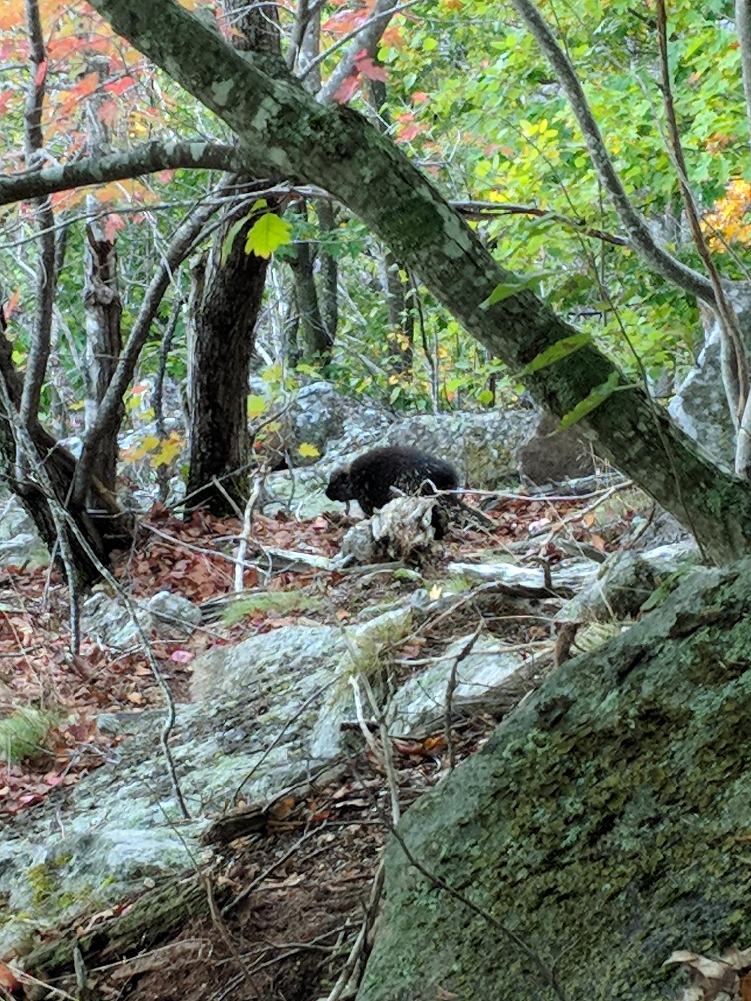
 Owls Head trail")

")
")
")


")


")
")


")

")
")
")
")


")
")


")
")
")


")
")
")
")
")
")
")
")
")

")


")
")
")
")

")

")
")
")

")
")
")
")
")
")
")

")
")

 b")
")


 b")
 b")
 b")
 b")
 b")
 b")
 b")
 b")
 b")
 b")
")
 b")
 b")
 b")
 b")
 b")
 b")
 b")
 b")
")
 b")
 b")
 b")
 b")
 b")
 b")
 a")
 b")
 b")
 b")

Comments