Zion: “Straight Up Land”

Zion National Park

Zion National Park

Zion National Park

Zion National Park

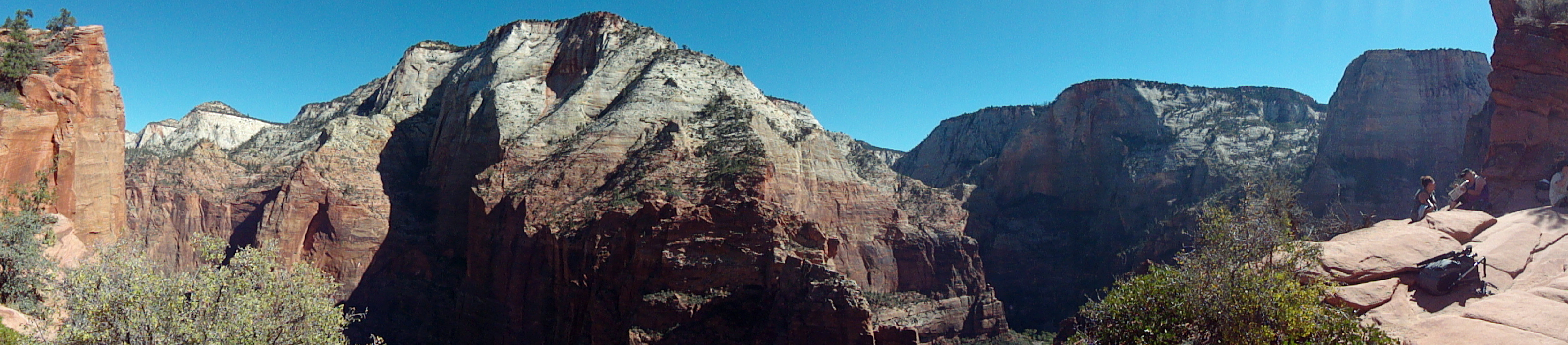
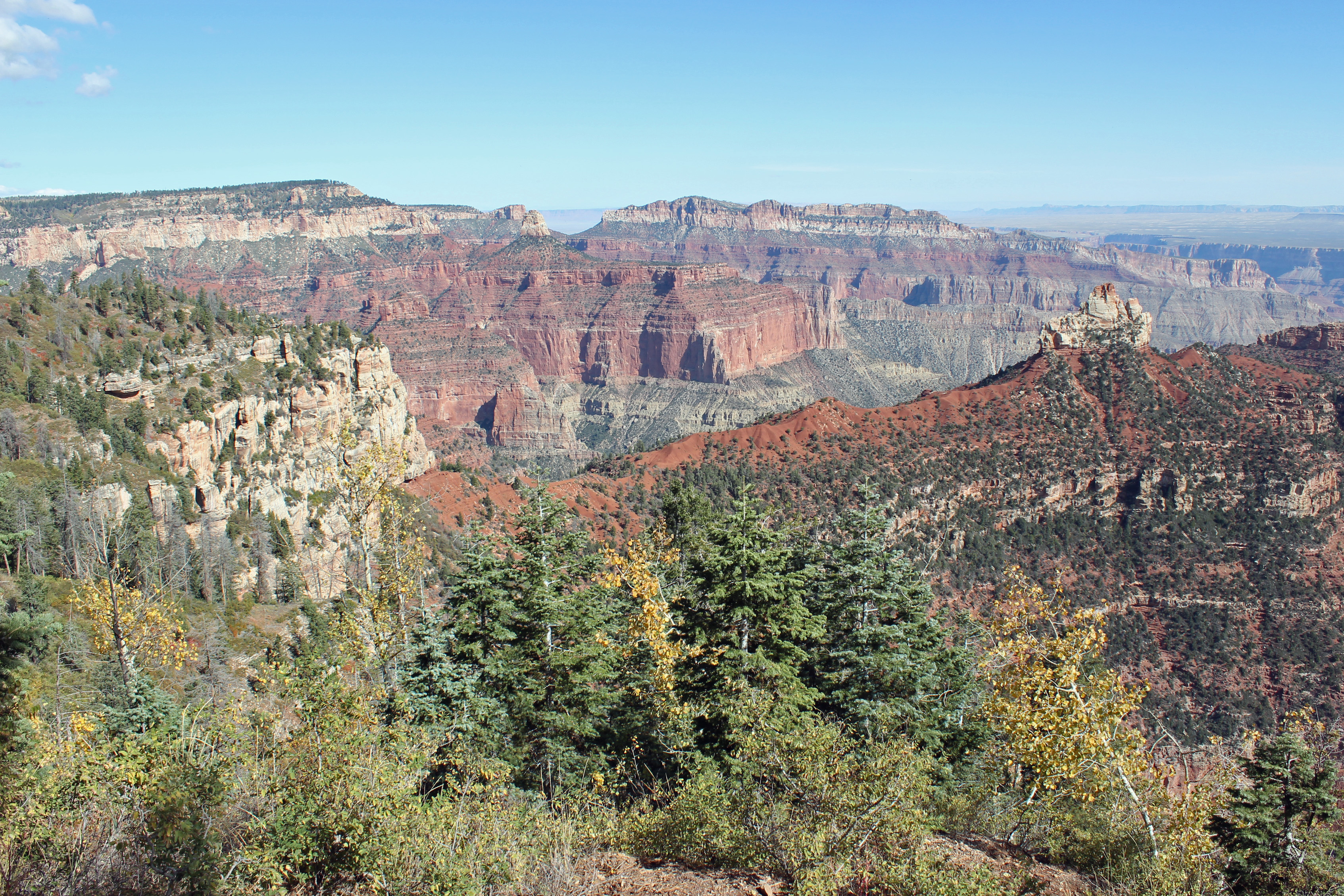
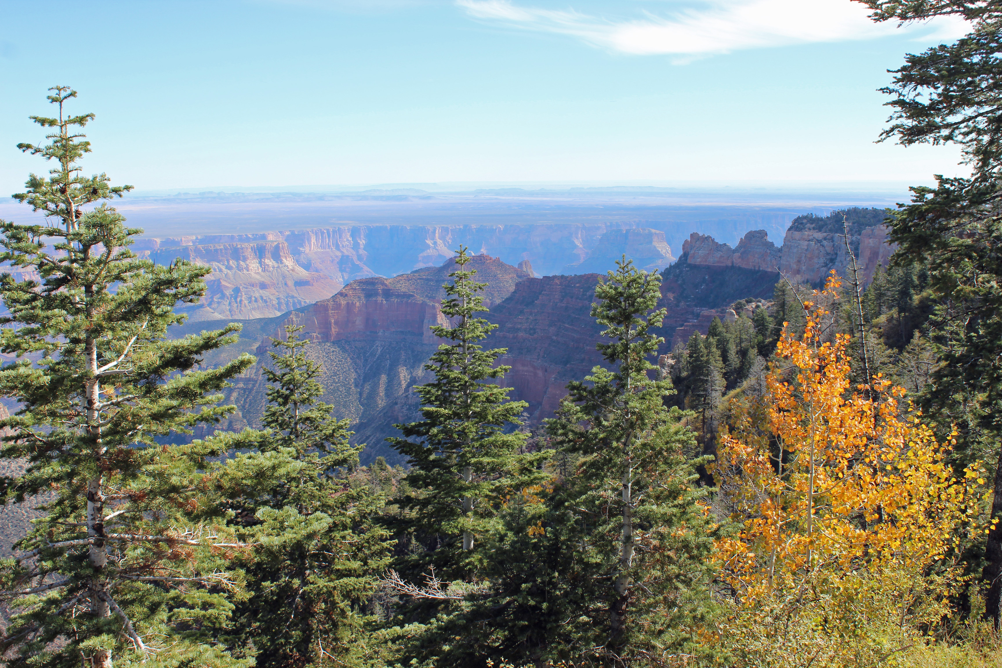
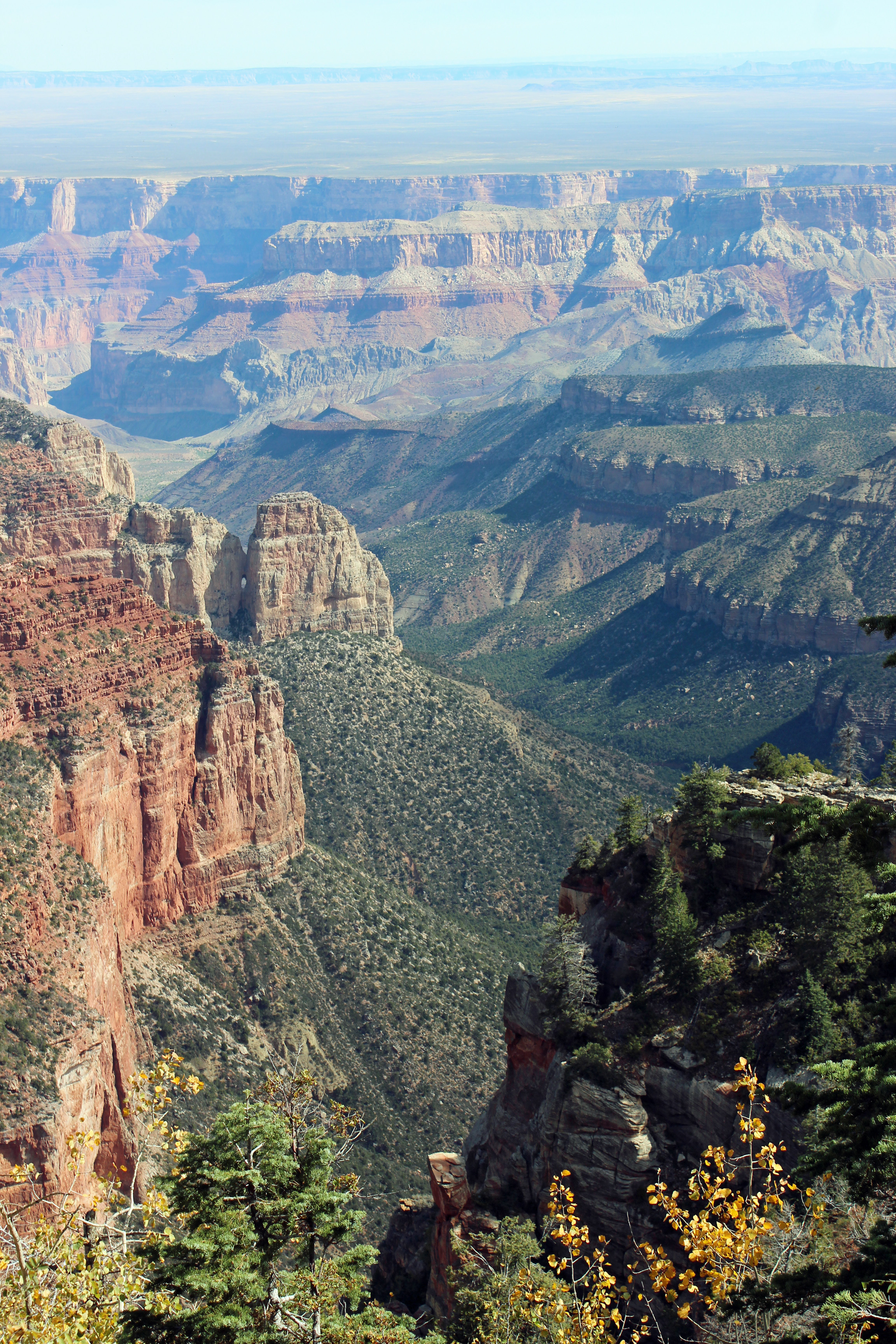
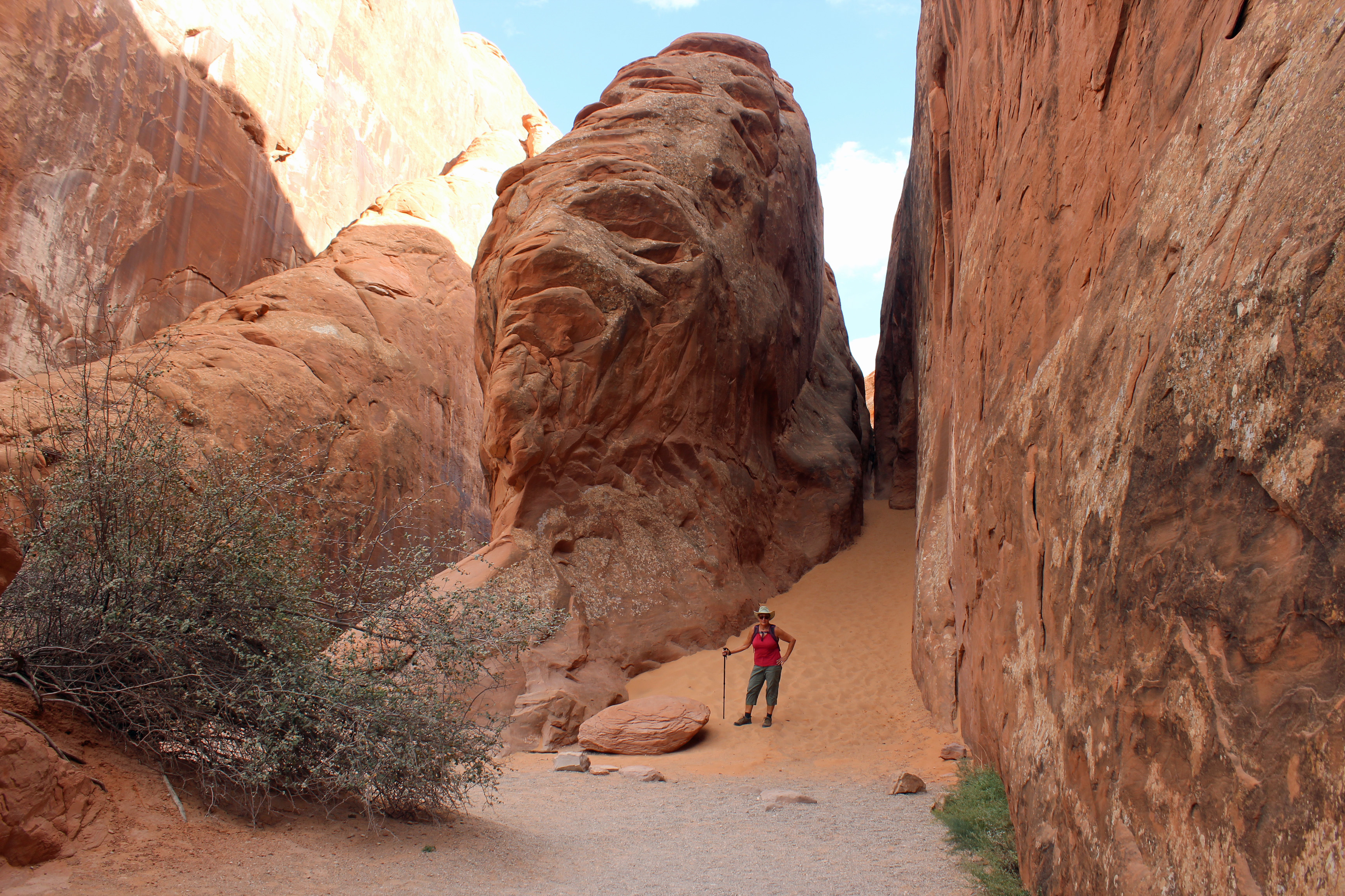
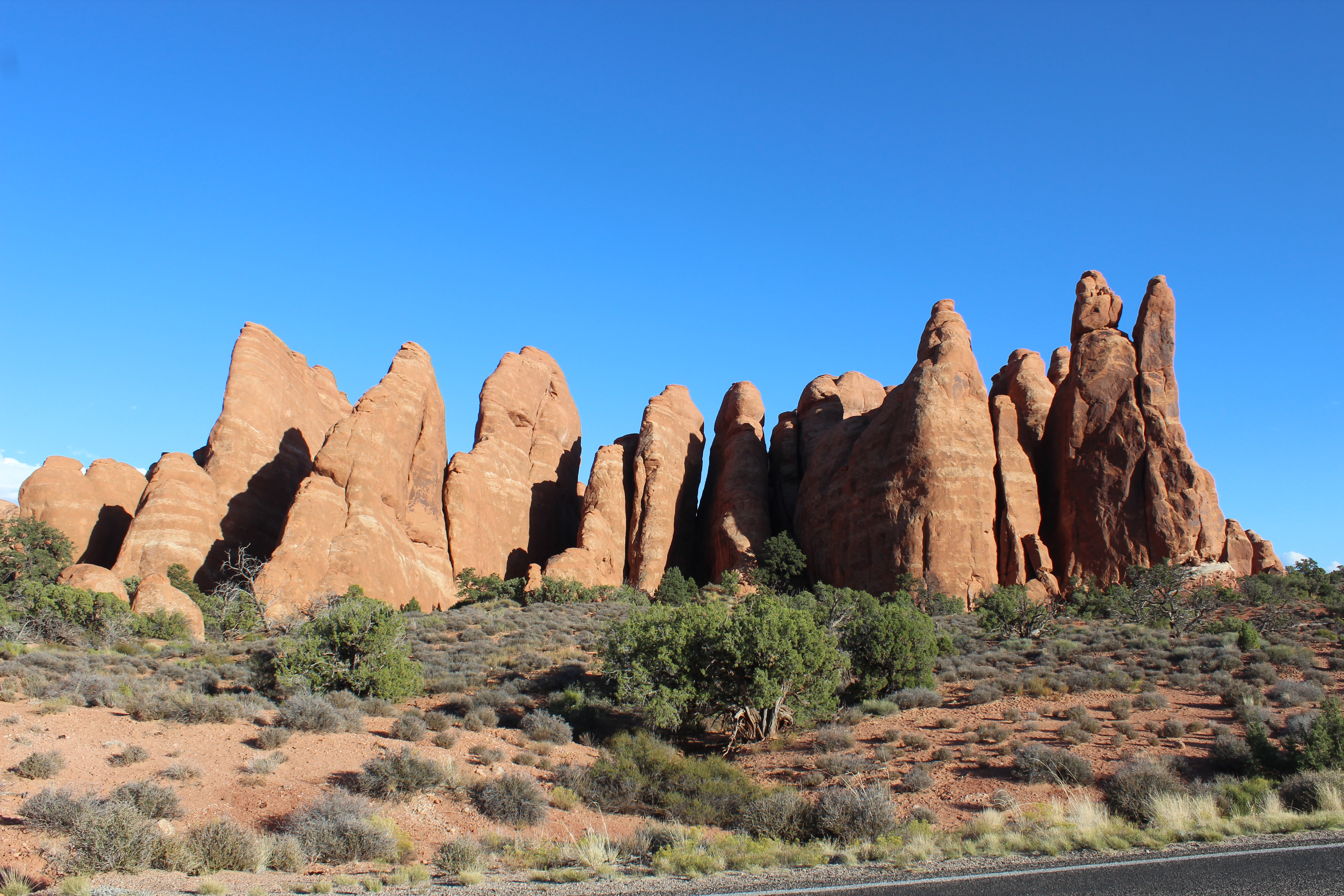
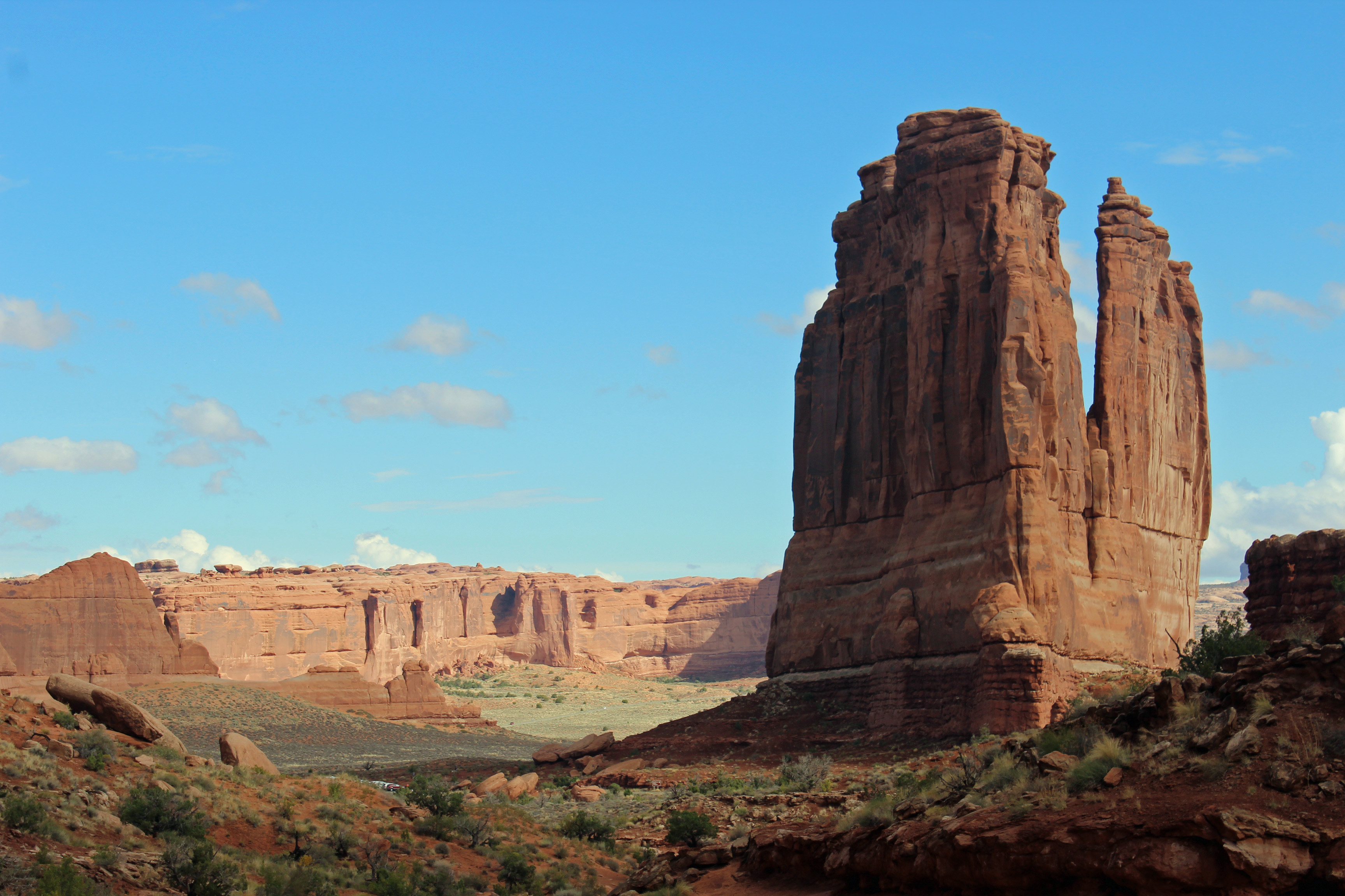
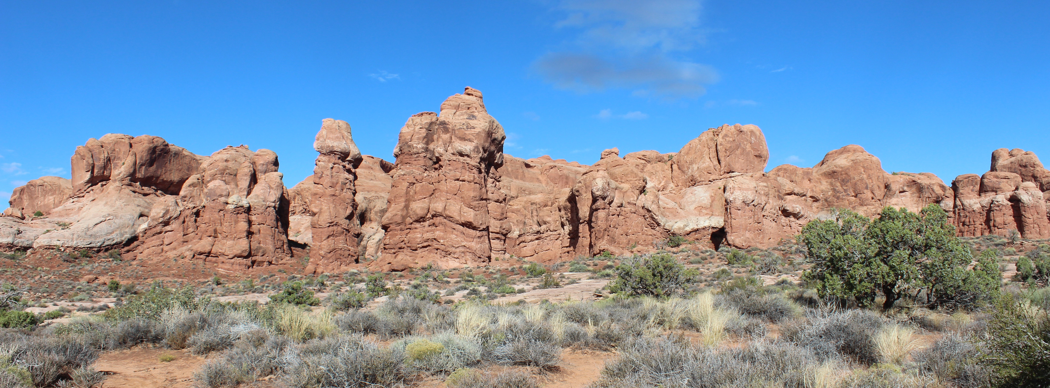
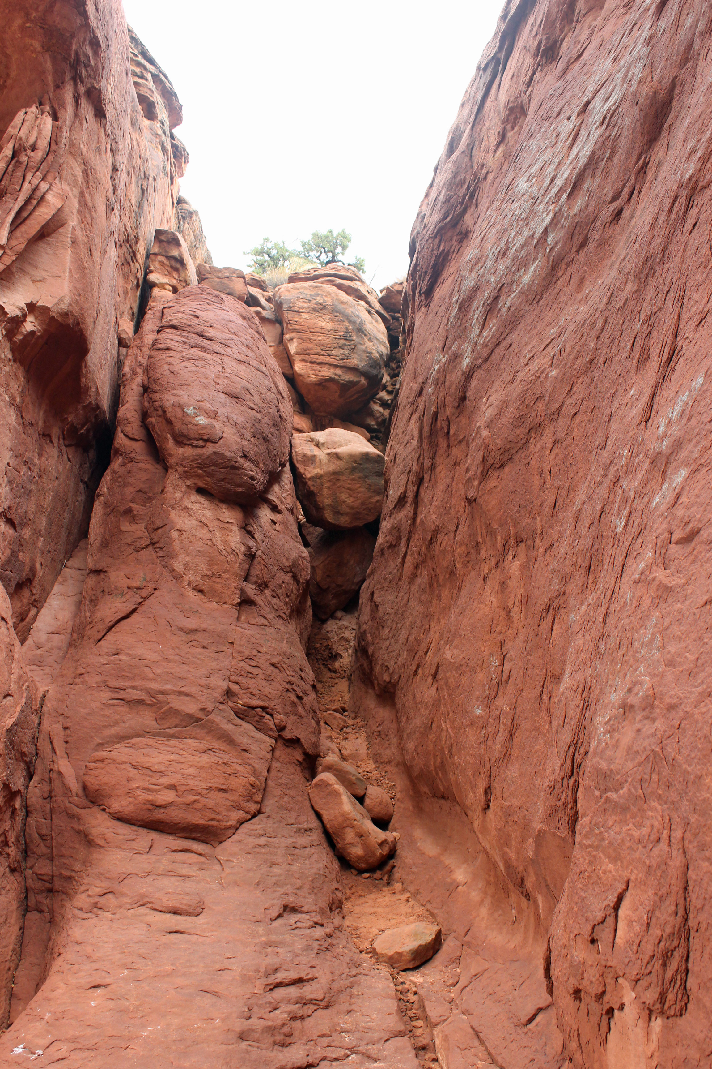
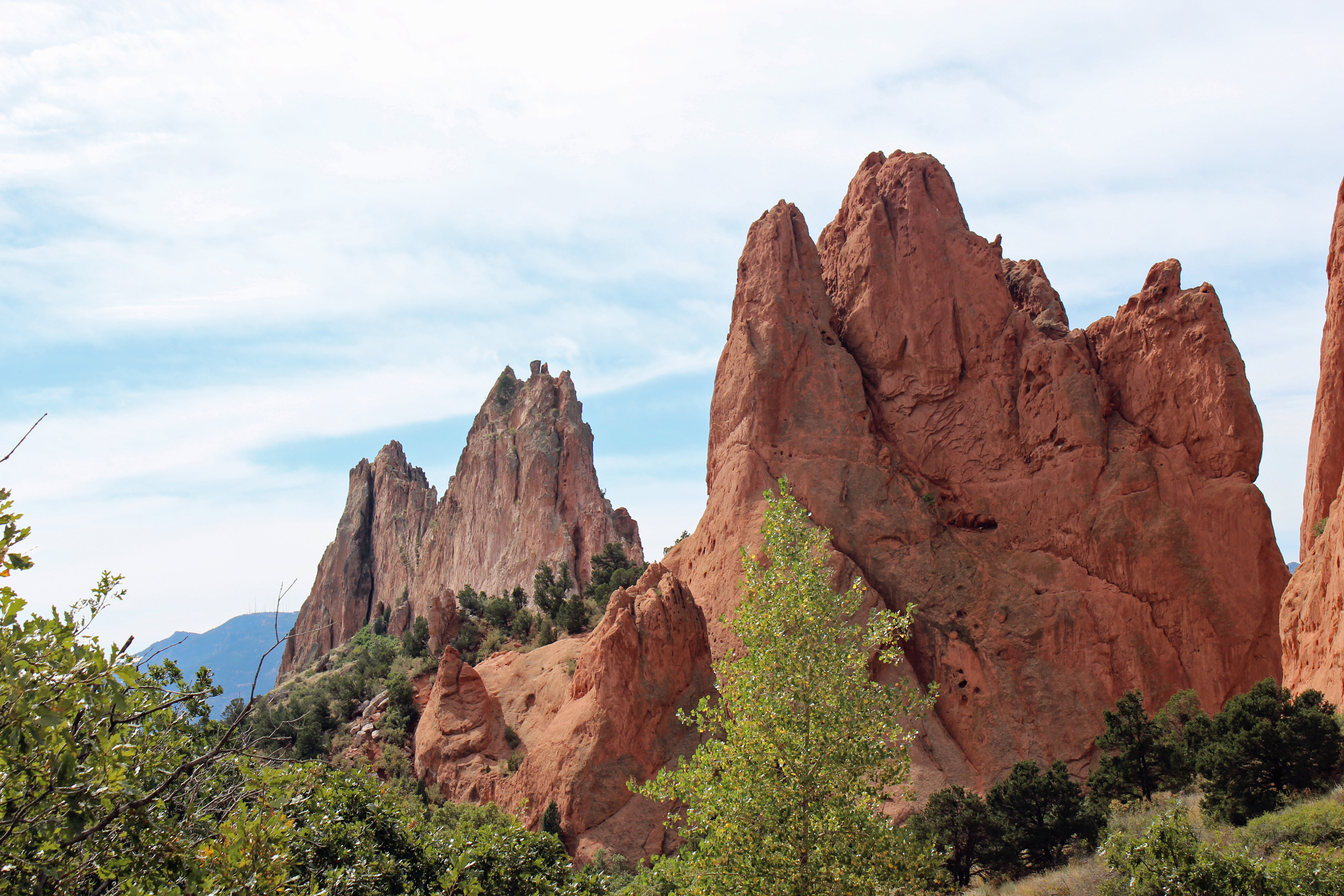
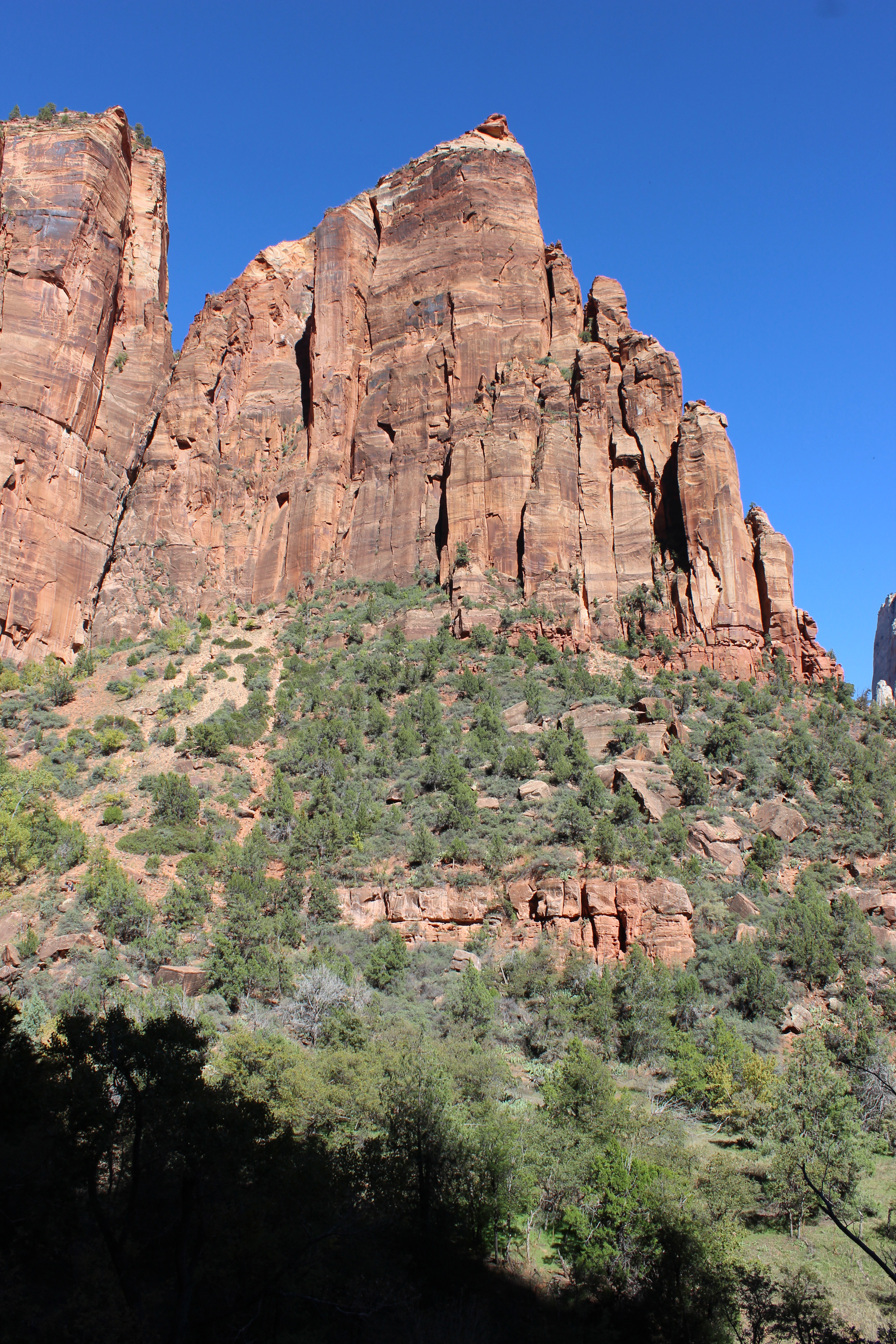
We traveled to Zion National Park, known earlier to the Paiute Indians as Mukuntuweap, meaning canyon or “straight up land’. It sure is a fitting description. In an earlier post I said that Arches has the most dramatic entrance, but I must amend that to say that once you start into the Zion Canyon, it truly is an amazing entrance. You are surrounded by sheer canyon walls of red Navajo sandstone that blend into grey and white sandstone, sometimes capped by another layer of red Temple Cap. This is the canyon of the Virgin River, which has carved out this land of canyons and cliffs.
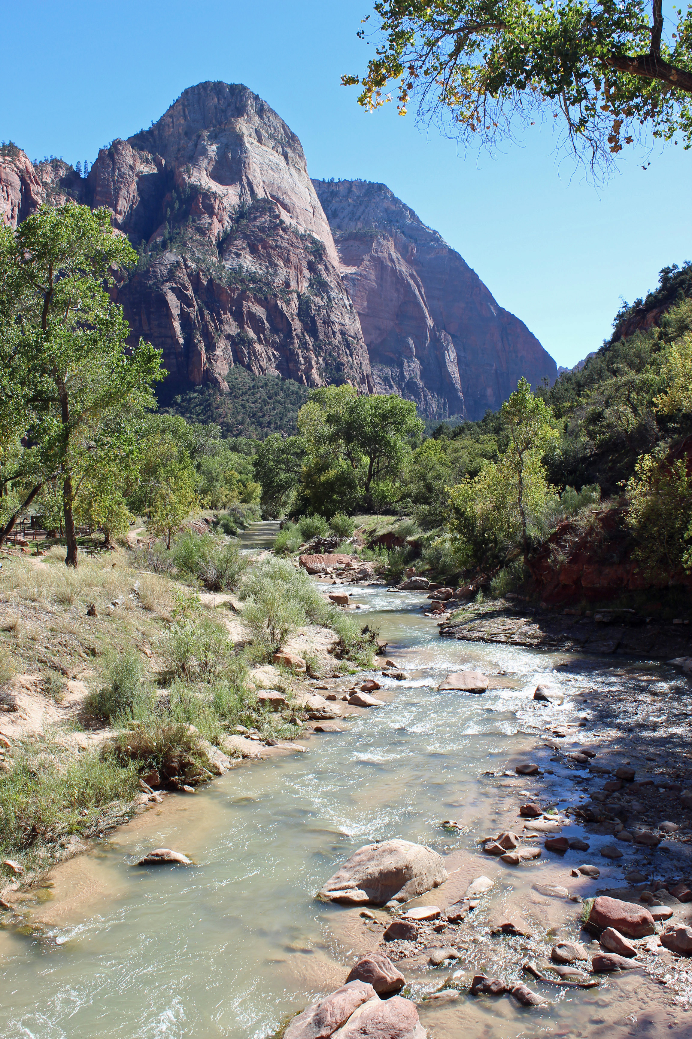
Virgin River

Virgin River

I feel our whole trip has been leading up to this visit. There were several personal bests and lifetime achievements for us in this park. But first, let me set the scene for you. Driving to the entrance of the park, which is really a huge single canyon with one Scenic Drive that dead-ends into the park, you go through the cute town of Springdale. Watchman campground is where we stayed, and it sat on one side of the Virgin River and Springdale sat on the other, both surrounded by the canyon walls. Our site was level and shaded from the afternoon sun and sat alongside the river, with a cute motel on the other side. A sidewalk/bike path ran along the river next to our site, so this whole idea of a wilderness camping experience was at odds with folks strolling down the sidewalk beside us and a raucous crowd with DJ on Sunday night just down from the motel. Ok, it was still pretty cool.
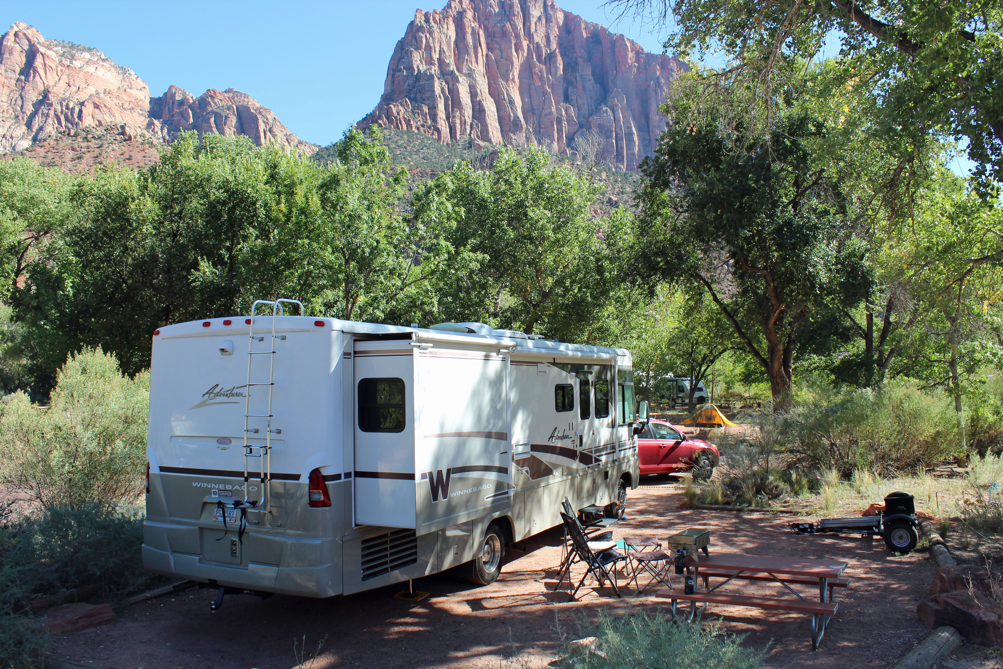
Campsite below Watchman

Campsite with Watchman in distance

Watchman in the late evening sun
Watchman in the late evening sun

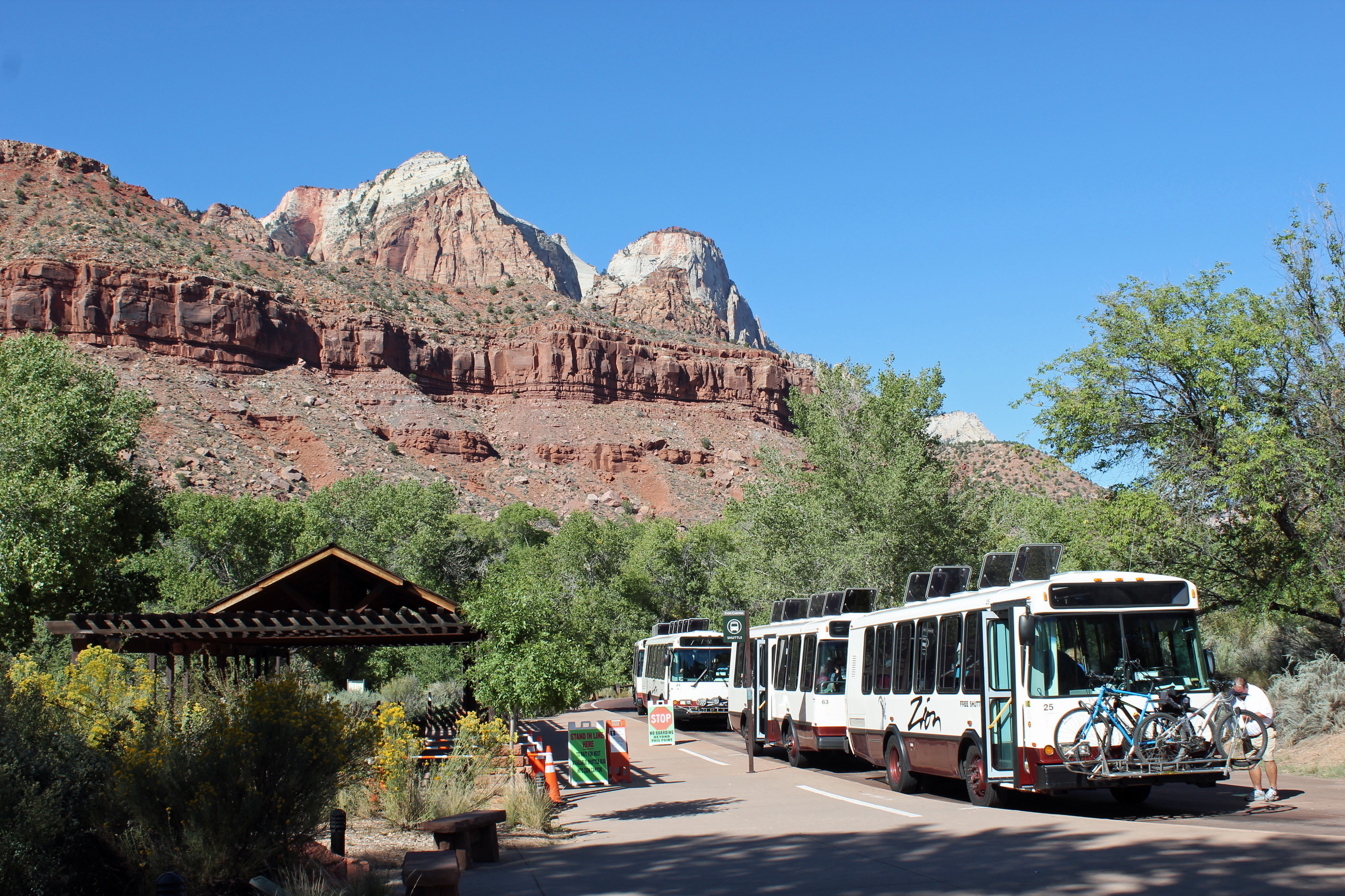
Shuttle for the park

Shuttle for the park

Due to the crowds (18,000 or more a day), the park service operates a shuttle up and down the Scenic Drive, with 8 stops at trailheads and overlooks. Well run and worked fine. We could walk to the Visitor’s Center from our campsite and hop on the shuttle to our destination no problem.
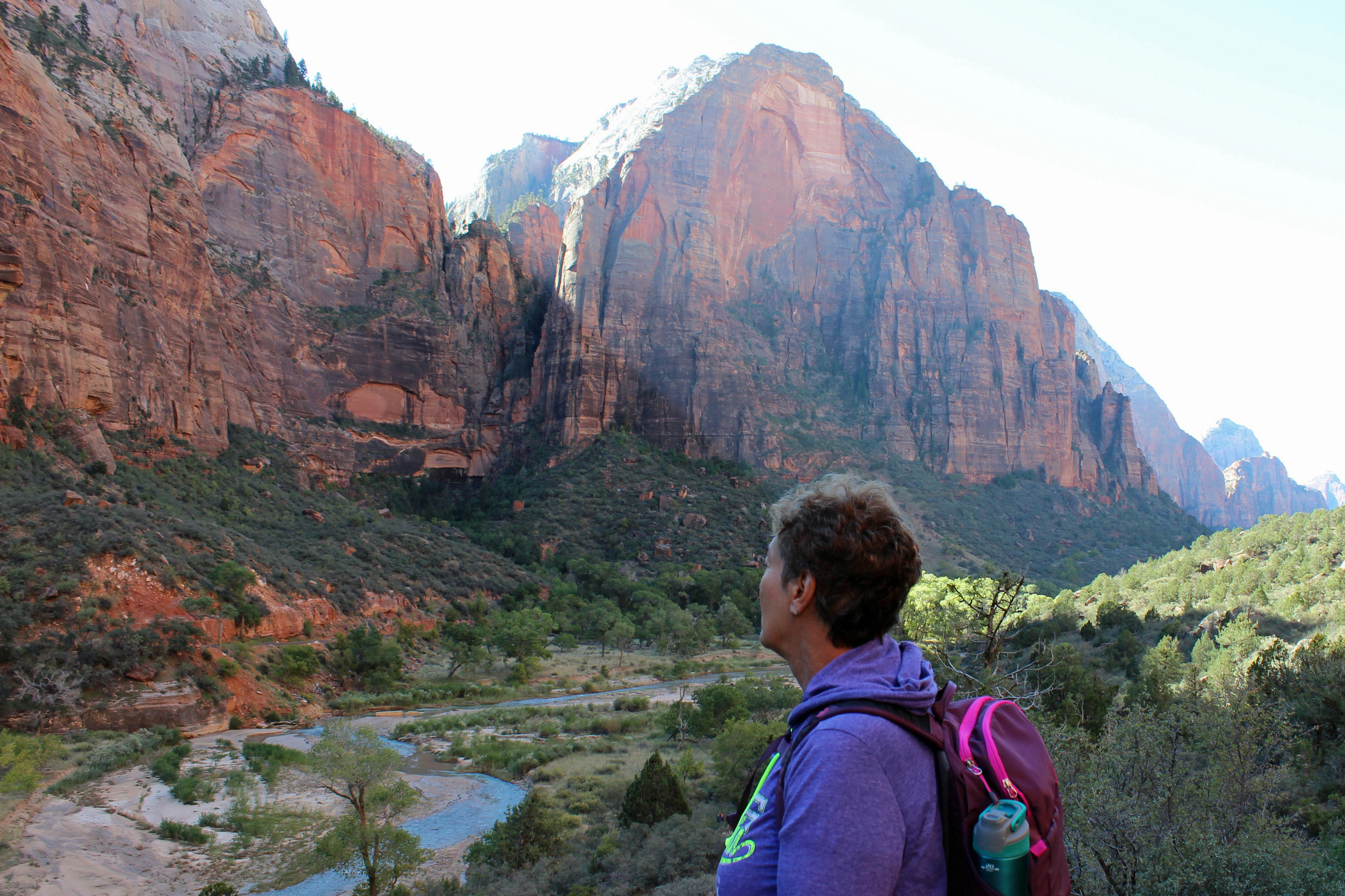
The start up Angel's Landing

The start up Angel’s Landing

Ok, Day One and we notice that one of the trails would be closed for maintenance Tuesday and Wednesday, so since it was Monday, we put that one as a priority. Zion has two of the most highly rated hikes in the entire National Park System: Angel’s Landing and The Narrows. Angel’s Landing it was, so we packed water, snacks and put on the hiking shoes and layers of clothes and off we went. It started out in the 50’s, but by the end of our hike it was about 90, so most of our layers went into the backpack.

Angel’s landing starts out as a meandering trail that nudges upward – and is nicely paved and easy walking. You then have a view of this cliff face and notice these little people on switchbacks and traverses and wonder “is that where we are headed?” Yes, you are. You might be able to pick out a few folks on the angled cut across the sandstone slab in this picture.
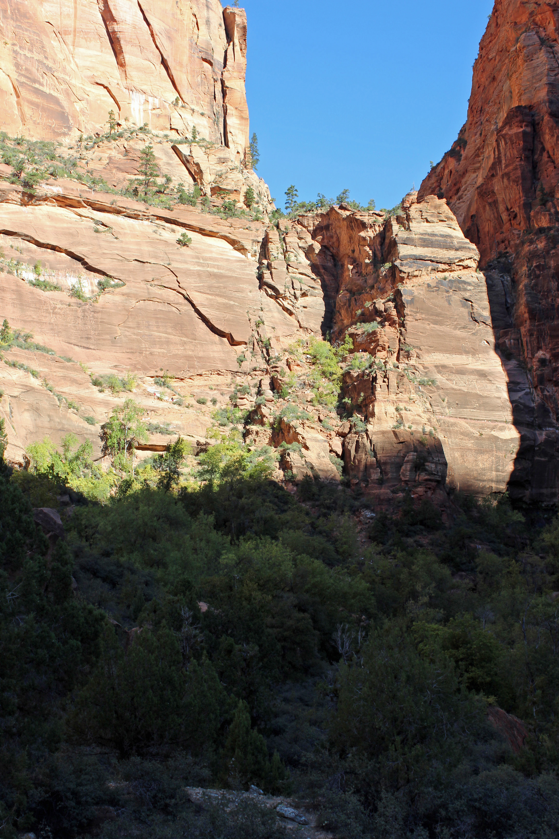
Switchbacks - look closely at the cut across the sandstone for the trail.

Switchbacks – look closely at the cut across the sandstone for the trail.

It is a rise in elevation of 1,500 feet for the hike. It is rated at about 6 miles round-trip, but we clocked closer to 8 miles.
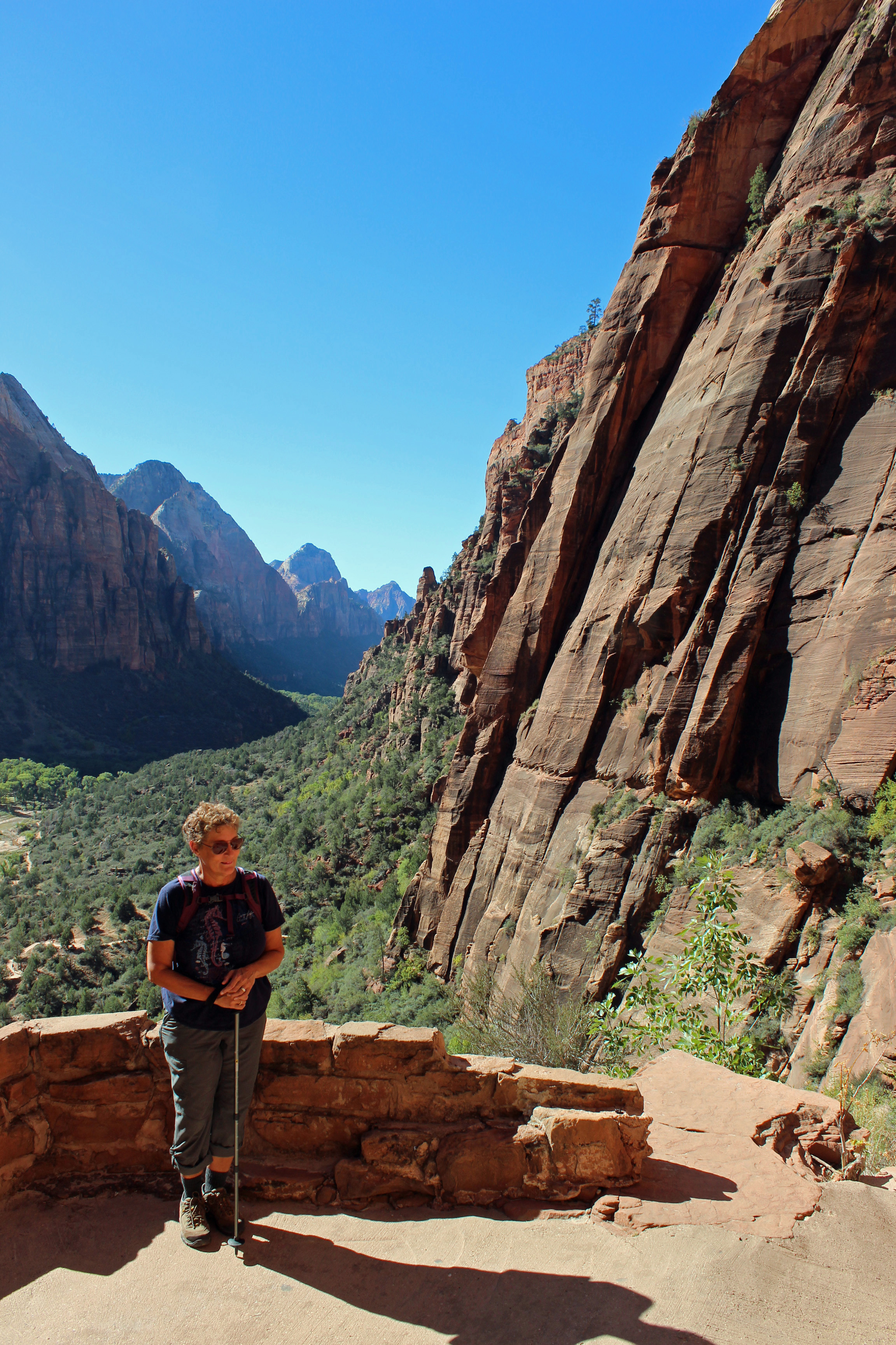
Taking a breather.

Taking a breather.

Once you finish those first switchbacks and that slash across the sandstone you turn into Refrigerator Canyon (and man was it a welcome cool, breezy walk in that canyon). Not so bad, until you hit Walter’s Wiggles. These are I think 11 short switchbacks built into the canyon to let you get to the summit.
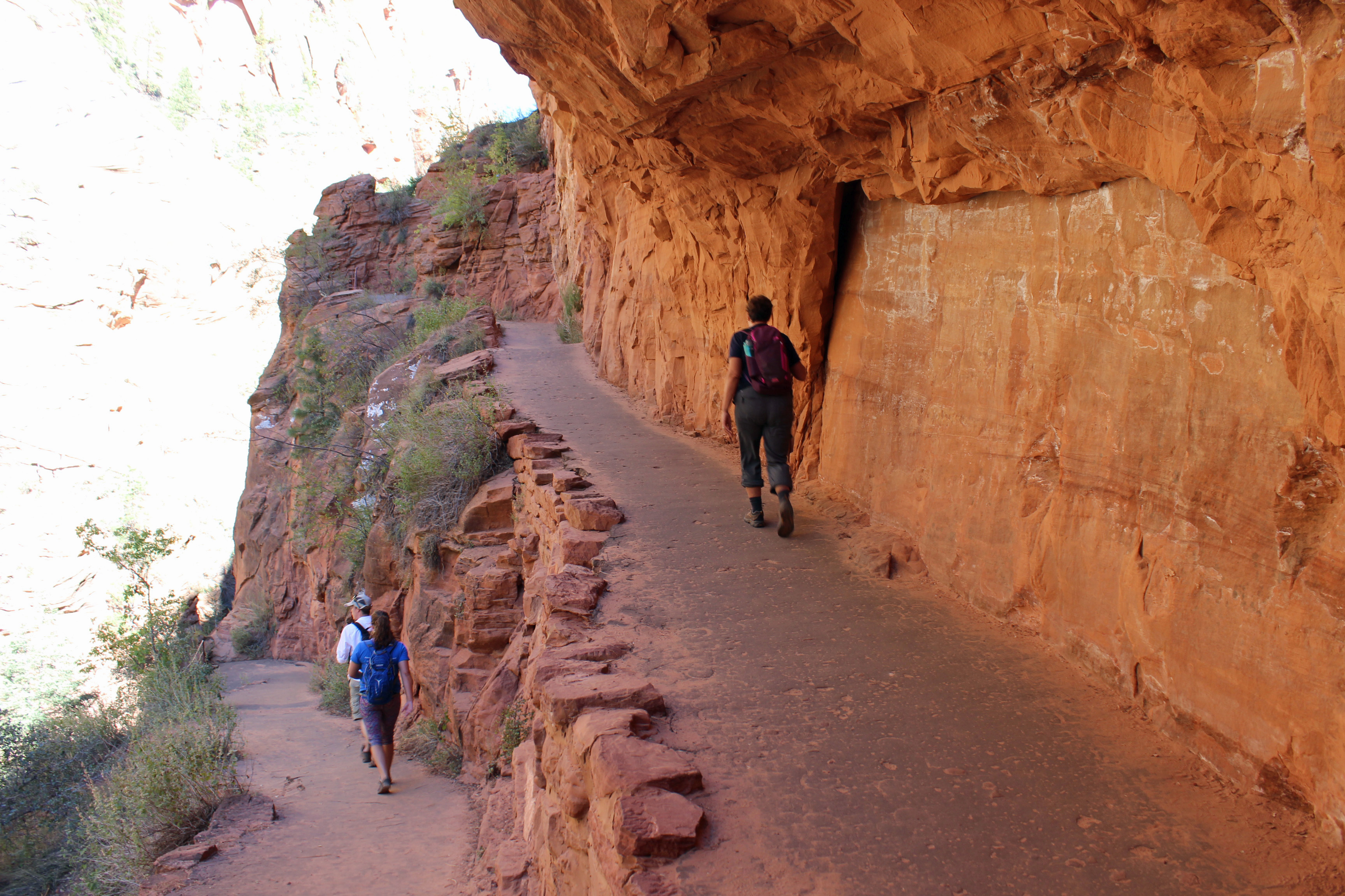
Switchbacks in Refrigerator Canyon

Switchbacks in Refrigerator Canyon

Walter's Wiggles - can you see down the switchbacks?

Walter’s Wiggles – can you see down the switchbacks?

Once you master those, suddenly you are on what seems like base camp or something. Folks are spread out all over Scout Observation point, where you can look down into the canyon. Now, understand, you are not alone in this hike. People are passing you, forward and back, taking selfies, dragging kids, toting infants (seriously, we saw several 2 – 4 month babies in packs)…. It was strange.
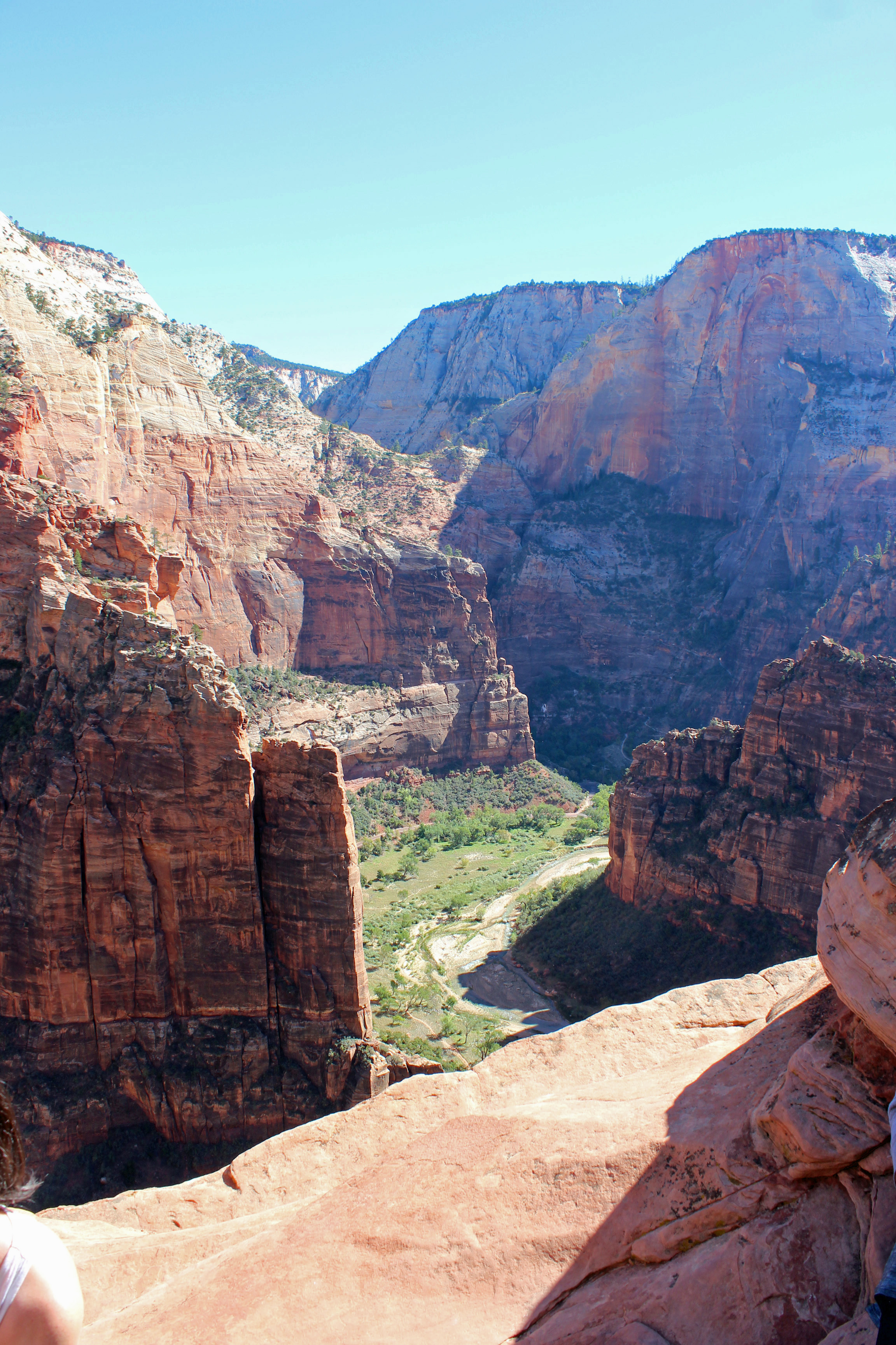
View from the top.

View from the top.

Ok, so now the serious stuff starts. From here to the summit, about a half mile, you are on sheer rock with a chain grip to follow along. We started up, slowly, with the sun in our eyes and way too many people in front and in back. We probably got a third of the way and decided it was just too busy and turned back. But we did the climb and felt exhilarated. What a hike!

The final climb using chains as guides.

The final climb using chains as guides.

The view from 1,500 ft. down to Horseshoe Bend in the canyon.
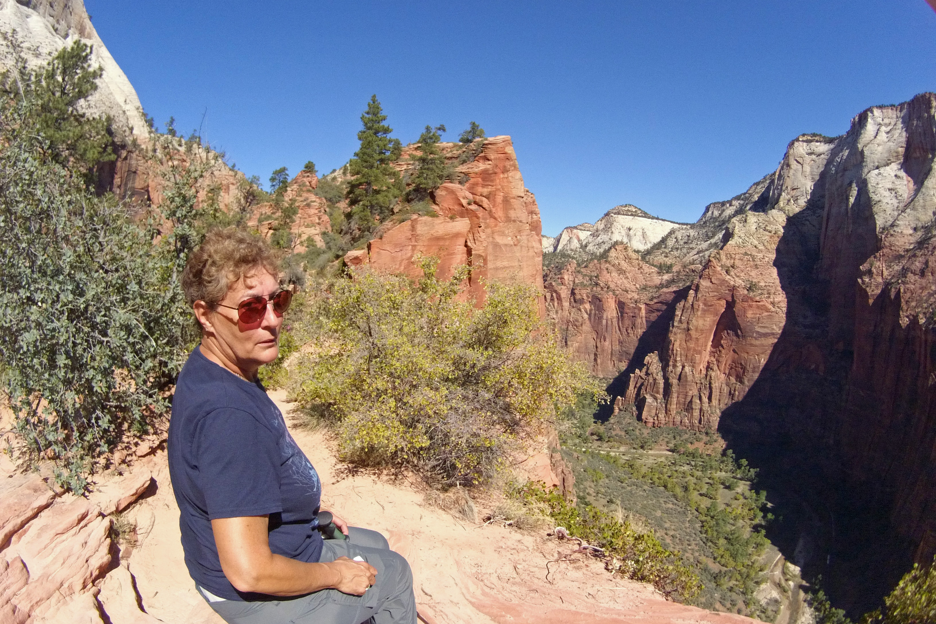
The view from 1,500 ft. down to Horseshoe Bend in the canyon.


-1070297824,1416,0,1731,100,448,4128,6041,4096,6773,4074,1658,2712,2348

Jackie at the edge at Angel’s Landing
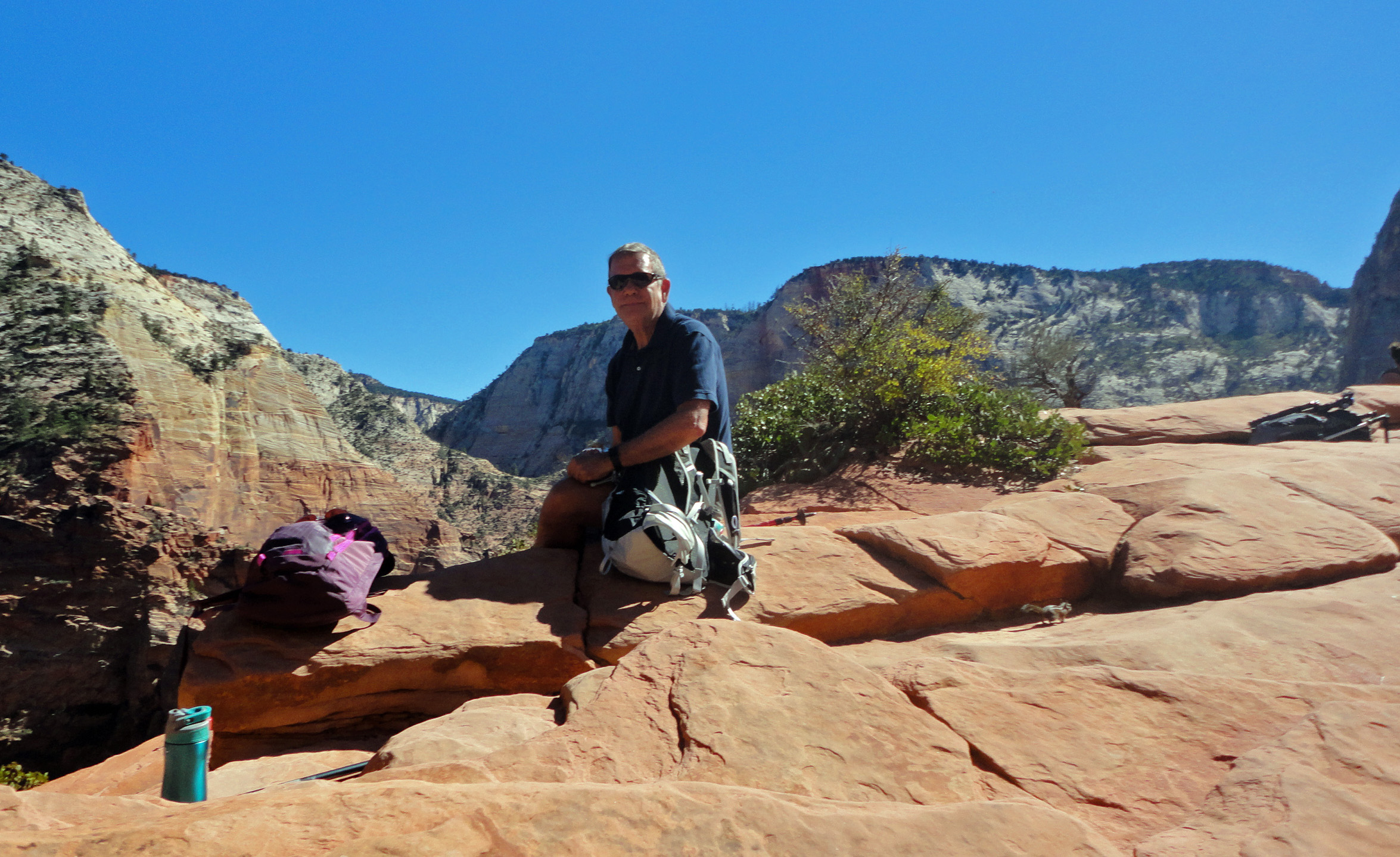
Doug at Angel's Landing

Doug at Angel’s Landing

The view from Angel's Landing, 1500 feet up.

The view from Angel’s Landing, 1500 feet up.

Heading back down the main switchbacks.

Heading back down the main switchbacks.

Of course we had to add a few more short hikes on the way back to camp.
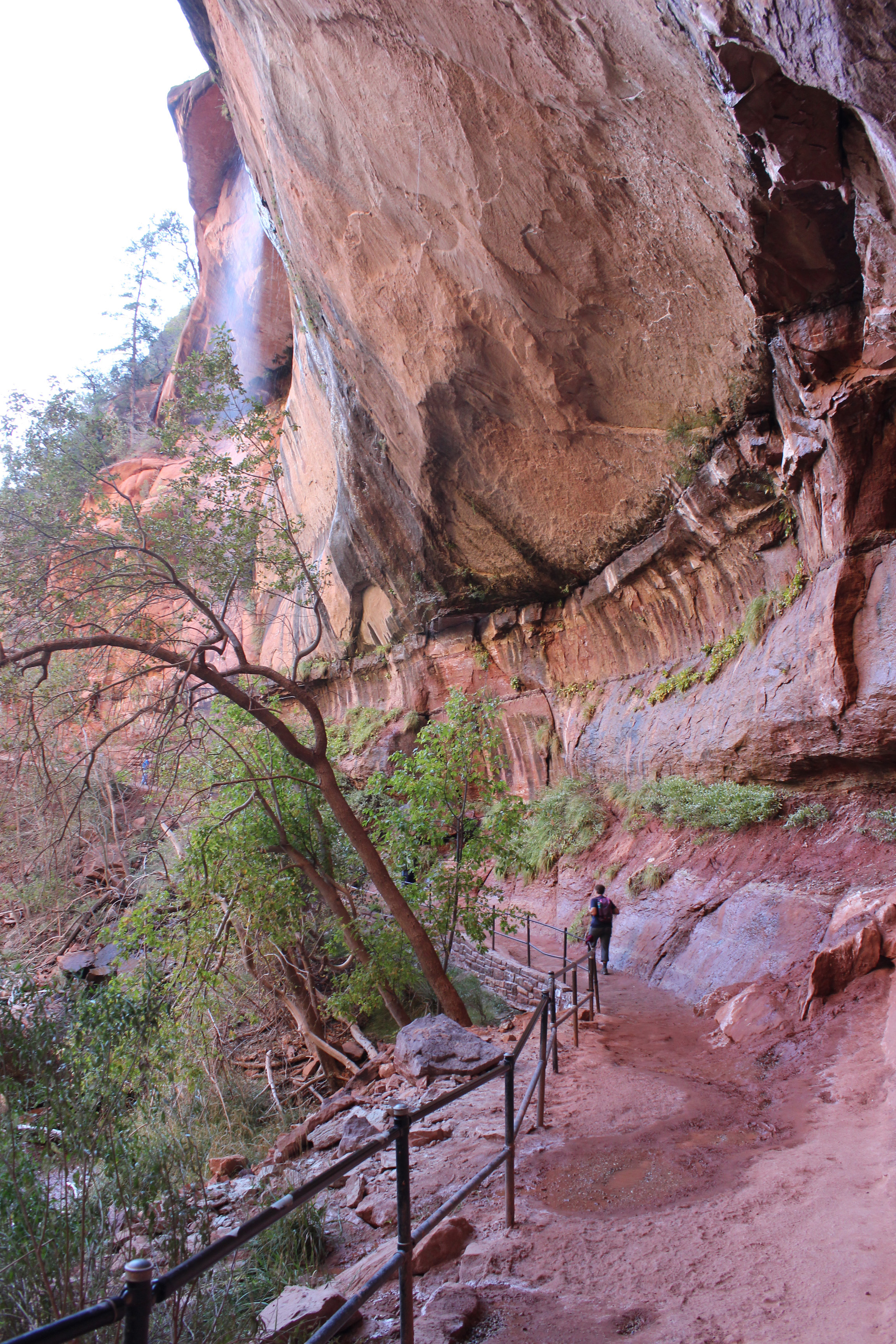
Zion Day 1 (62)

Water dripping over to Lower Emerald Pool.
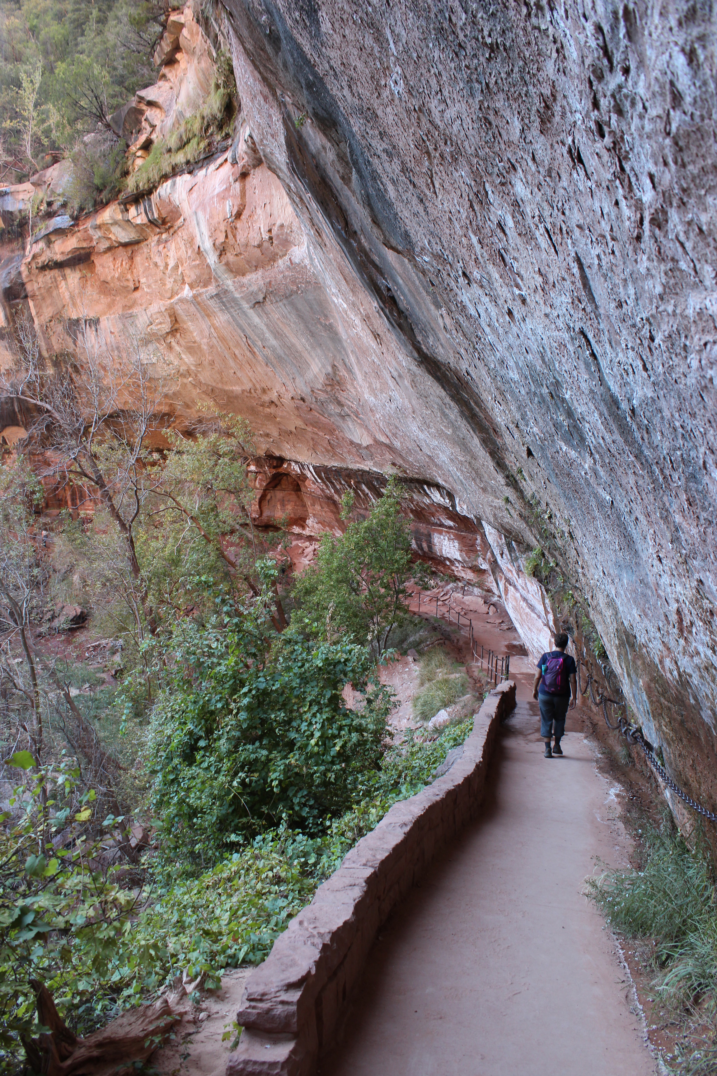
Zion Day 1 (60)

Lower Emerald Pool – cool, wet overhang.

Zion Day 1 (58)

Another shot of the water cascade – can you see it?

Oh, and our favorite watering hole happened to be just across the river from us, a short walk or bike ride to Zion Canyon Brewery. So there we relaxed at the end of each day, sipping a sampling of their brews (even tho Utah keeps the alcohol content low) with these great pretzel/breadsticks to dip into Jalapeno Beer Cheese (Utah also requires you order food with your beer), and looking across at the Watchman cliff formation.

Stargazing at night was wonderful – just like at North Rim we could see the Milky Way and shooting stars.
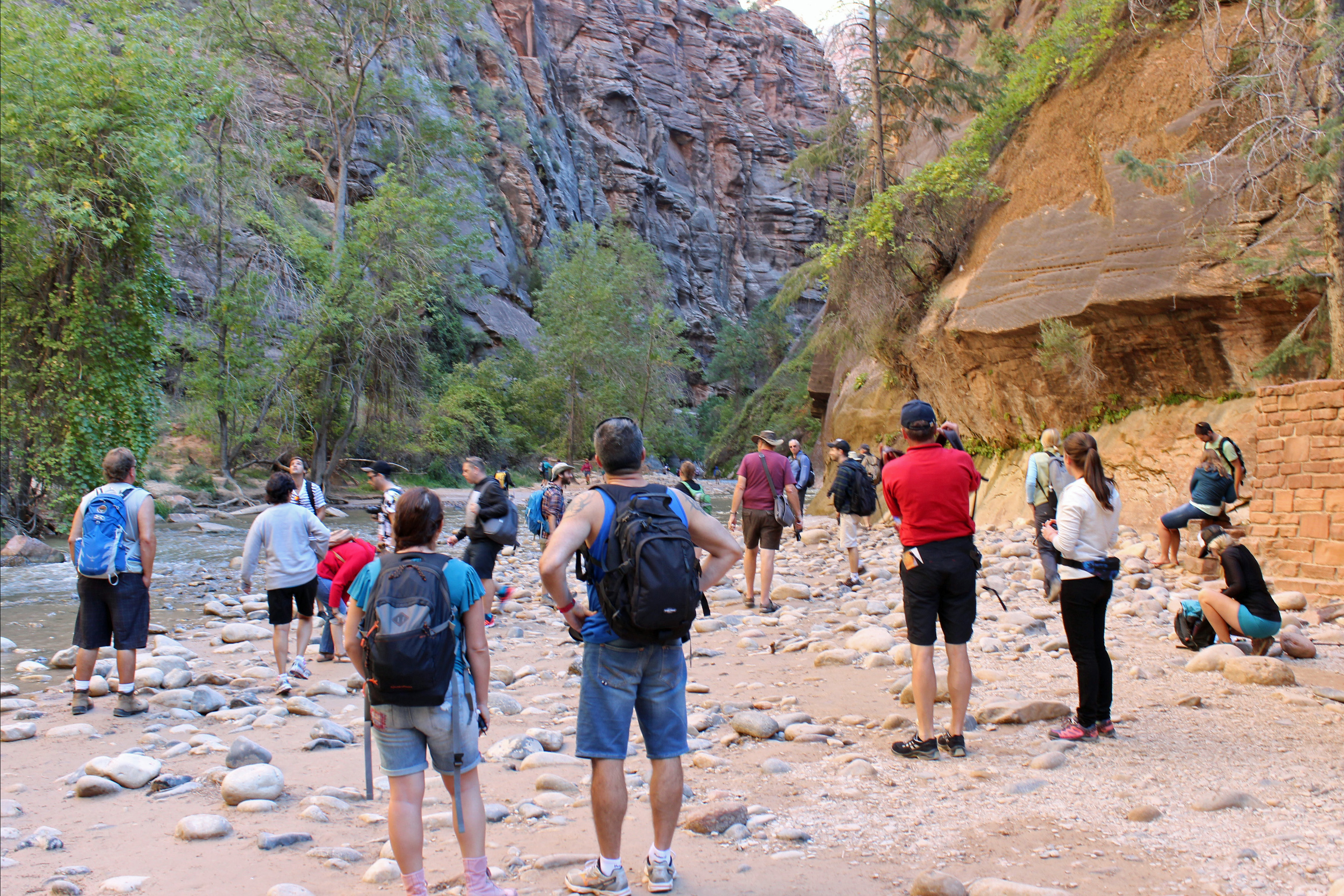
A sort of

A sort of “base camp” for everyone to get ready.

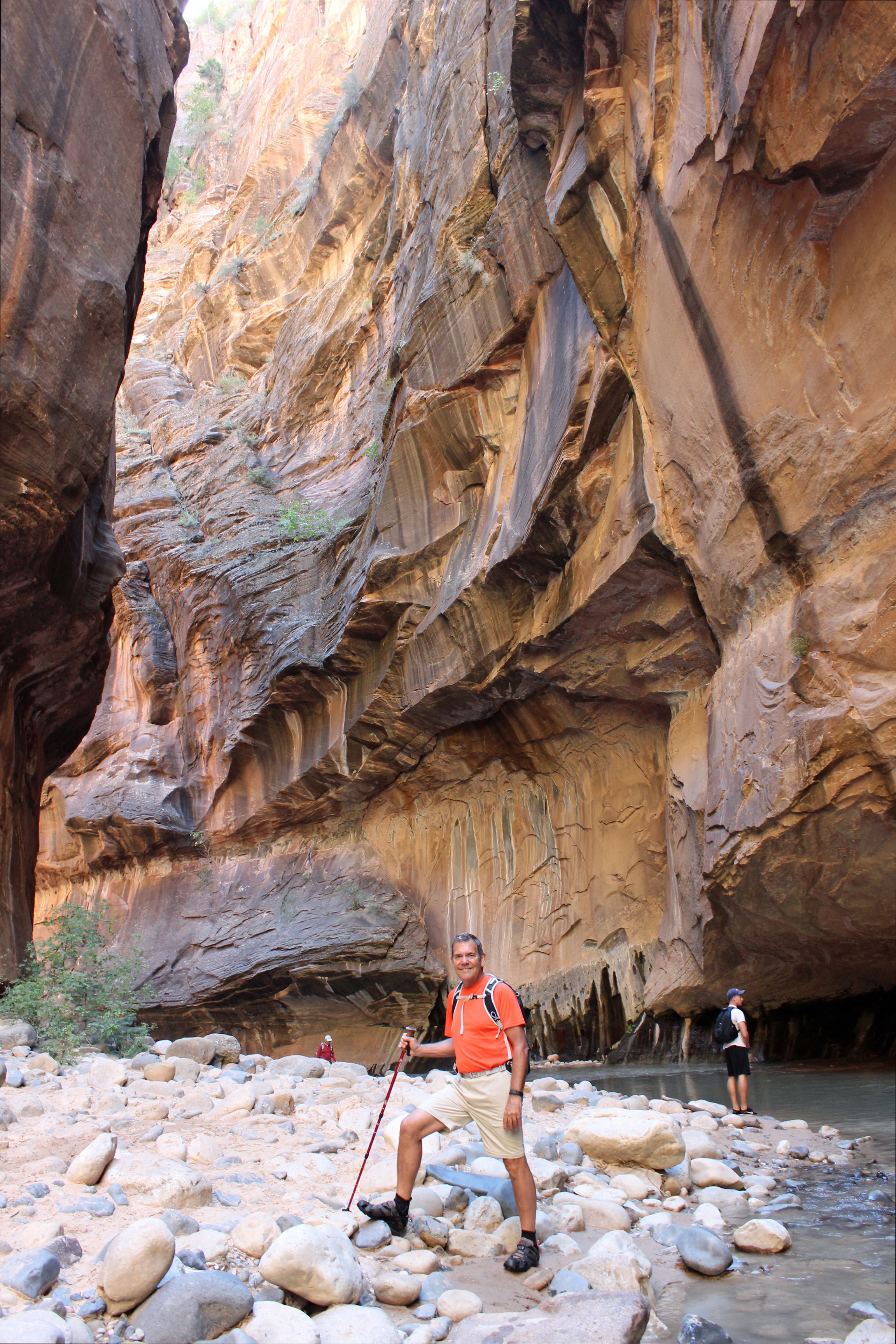
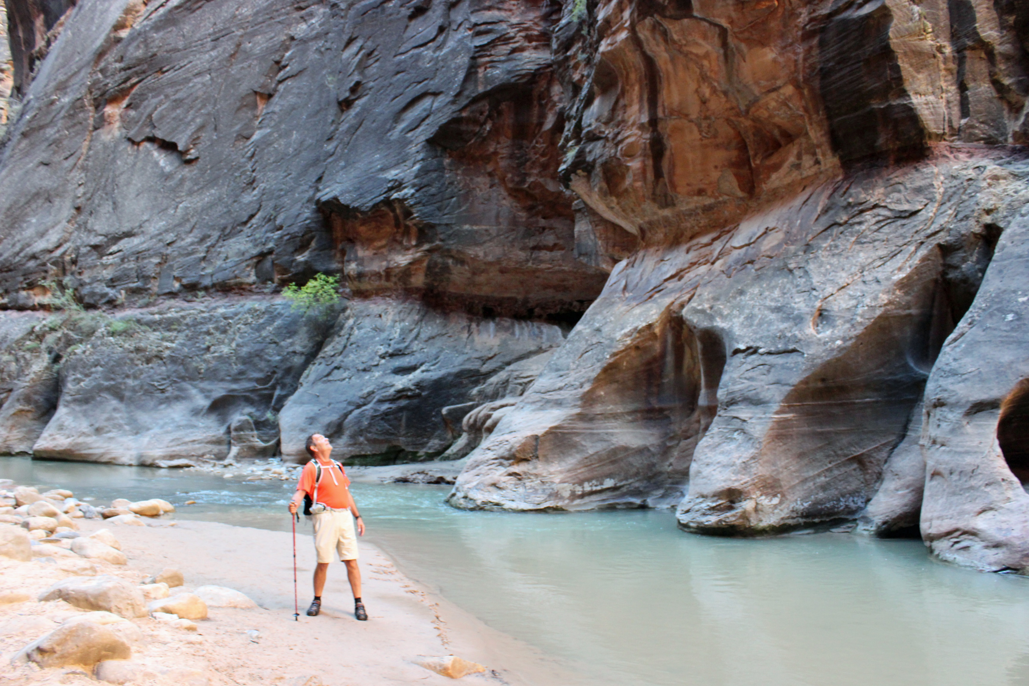
Day Two had another major hike in the works: The Narrows. This hike is along and then in the Virgin River, which is about 55 degrees, mostly about knee deep to waist deep and filled with rounded river cobbles and sand. I have been reading up on it since we planned the trip and wasn’t sure if we could do it. We bought some wetsuit socks for the trip and took those with our hiking sandals, water, snacks and camera and lightweight clothes and off we went. The Narrows is at the far end of the Scenic Drive and the first section is a paved walkway along the river. Lots of folks, a few wheelchairs and walkers and all those Chinese tourists accompanied us to the point where everyone stops and gets ready for the hike in the water. Actually, it seems there are lots more folks from Germany, judging from the accents we hear. Exchange rate must be good.

Zion Day 2 (42)

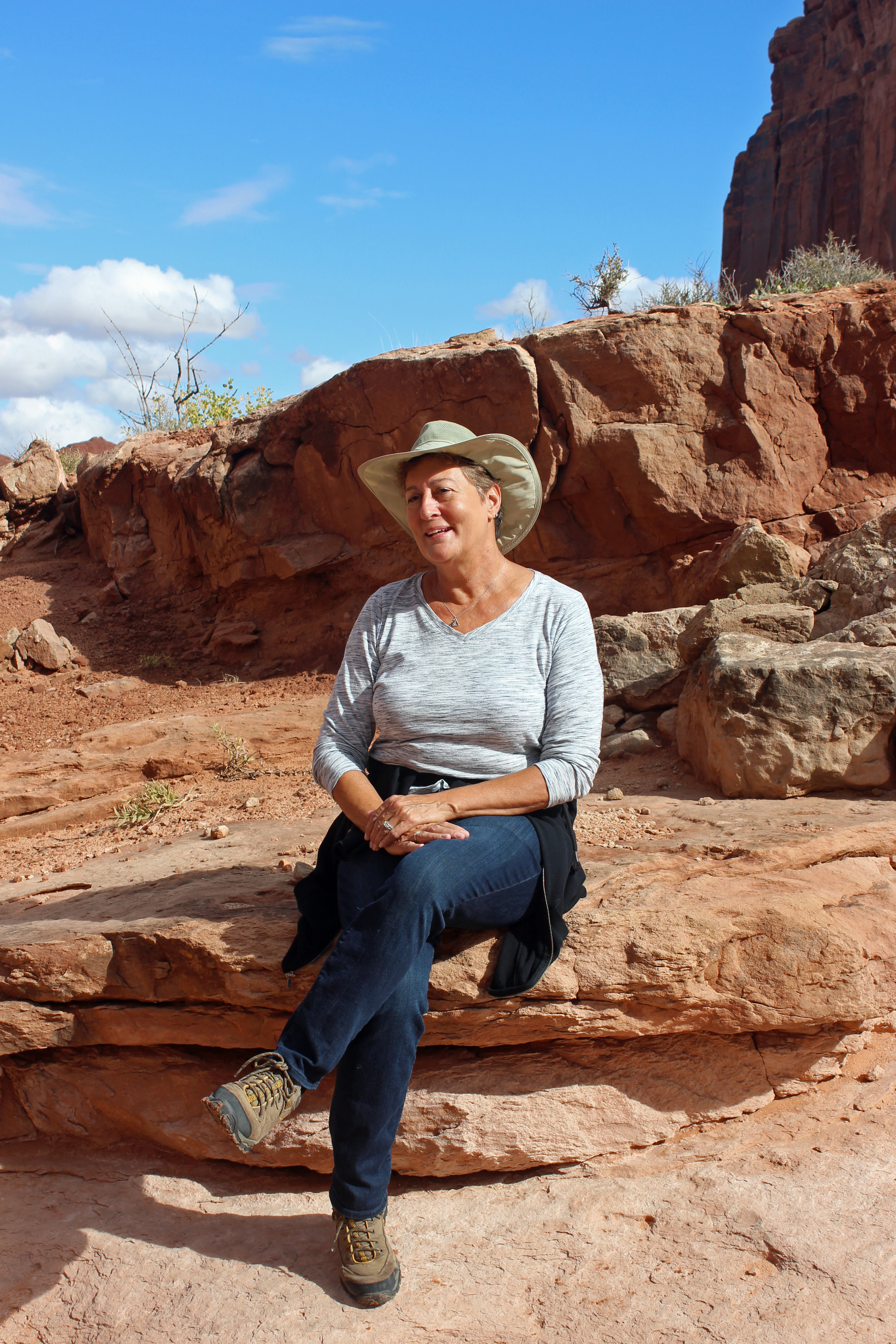
Who me? Cold? Not!

Zion Day 2 (29)

The river IS the trail.

Zion Day 2 (15)

Narrows canyons

Zion Day 2 (9)

Narrows canyons

Zion Day 2 (4)

Best views ever.

image

Best Day Ever!

BEST DAY EVER! Seriously. The walk through this river was a sense of discovery, as you slipped around each bend in the canyon walls to see what lies ahead. Red ripples of stone all the way to the sky and a foaming blue-green water carpet that you walked across – just breathtaking. There were places where water spilled down the walls and you had hanging gardens of maidenhair ferns, other spots where you had to think twice before crossing the stream and places where the sun would shine down and you would stop to warm up. Yes, the air temperature was pleasantly cool, the water cold, but not unbearable. We hiked in as far as 2 – 3 hours took us, probably 4 miles in.   You can hike in about 9 miles, but we figured we could call it a day.

Then as we turned back we passed a couple we met the day before at our brewpub watering hole. Delightful couple from the UK doing many of the same parks as we were. We shared some of the day’s experiences and then headed downstream to the jumping off point. Changed socks for a dry pair of wools and finished the riverside walk, took the shuttle to the Visitor’s Center, bought the t-shirts and crashed at camp (oh, yeah and the watering hole first).

Zion National Park

The Narrows of the Virgin River

Zion National Park

The Narrows of the Virgin River

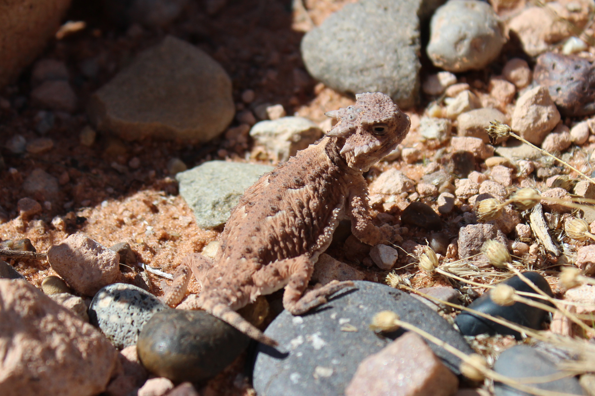
Not much wildlife to speak of, we did see the most dangerous creature in the park: rock squirrels. They have a tendency to bite folks who feed them. And we learned their fleas carry the Bubonic Plague, so maybe not so cute after all. We were told it was mating season for tarantulas, who were supposed to be wandering all over the place, but we didn’t see any. No Bighorn Sheep (oh they are on the Eastern side of the park…).

I am actually writing this from our next destination: Las Vegas, since wifi and cell service have been very unreliable and not always available – and it takes about 2 – 3 hours to sort through pictures, write and upload the blog. More about the adventure in Las Vegas in the next post. Hint: another brewpub is discovered.
Categories: Uncategorized | Tags: , , | 7 Comments

Grand, Grand Canyon

North Rim (54)

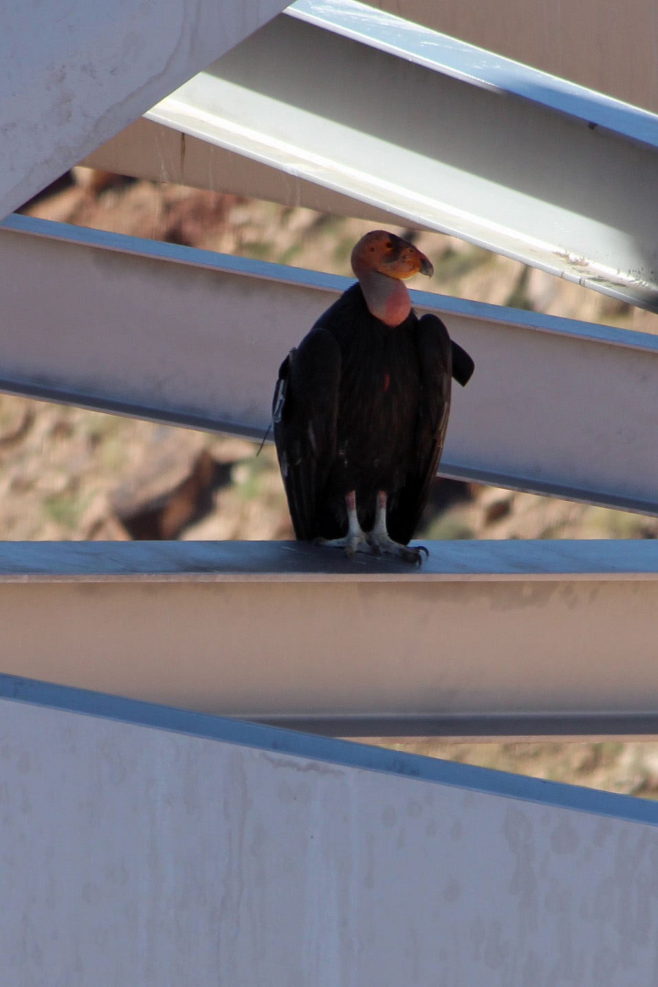
A half day of travel from Page took us across the higher Colorado Plateau and down into a lower plateau where we crossed the Colorado River at Navajo Bridge (oh yeah, a California Condor was perched below the bridge)

California Condor on Navajo Bridge

California Condor on Navajo Bridge

and along the base of the Vermillion Cliffs. Beautiful panoramic vistas of these cliff walls and then an ascent to Jacob Lake and into the Kaibab Plateau and the North Rim of the Grand Canyon. Slow go uphill, sometimes only 25 mph with our size and weight. What is so different about driving in this area is that you can see exactly where you are headed, the ribbon of road stretching way ahead of you into the distance, unless it is uphill and all you see is the next curving switchback.

North Rim (22)

North Rim (24)

North Rim (25)

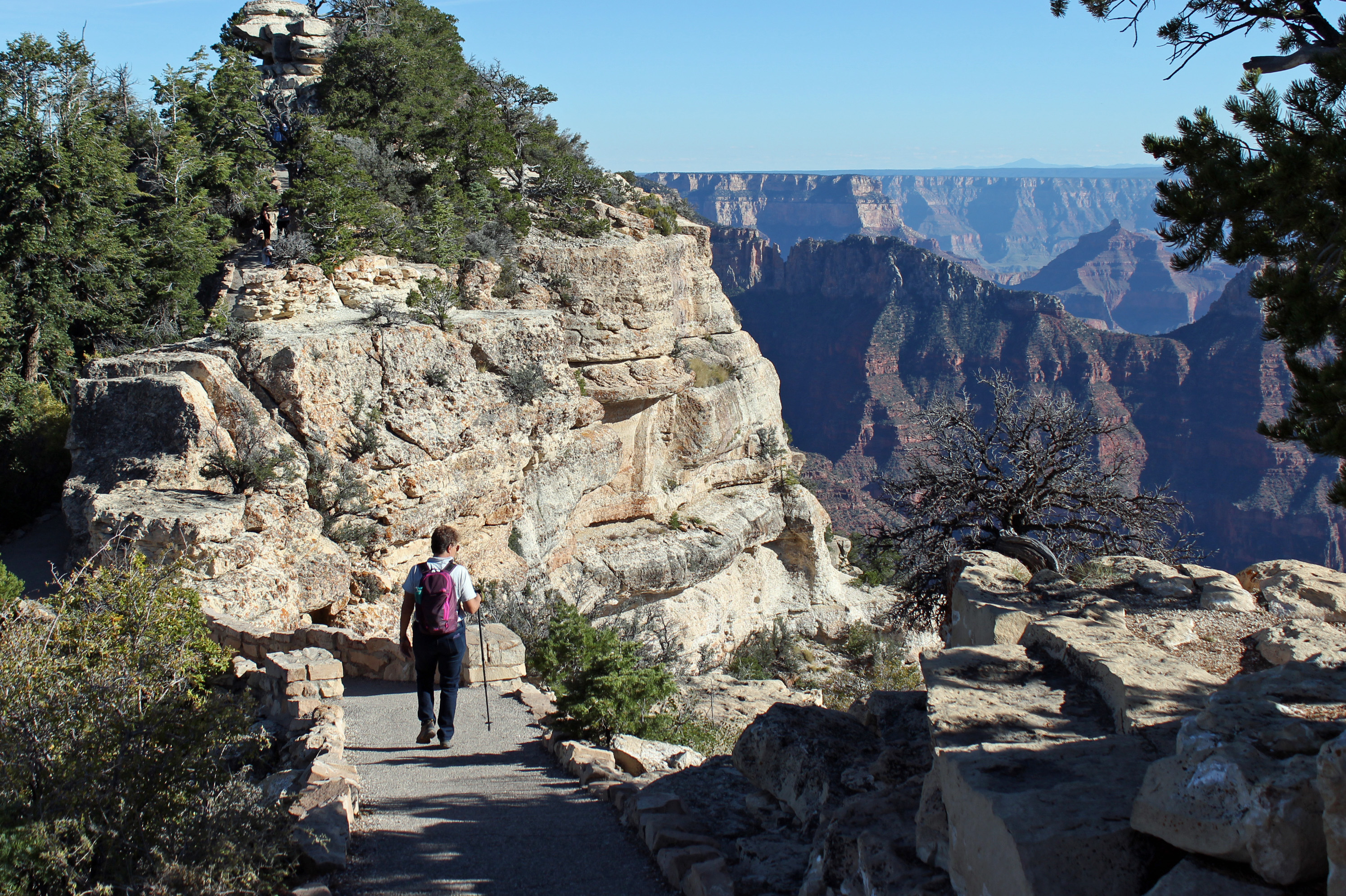
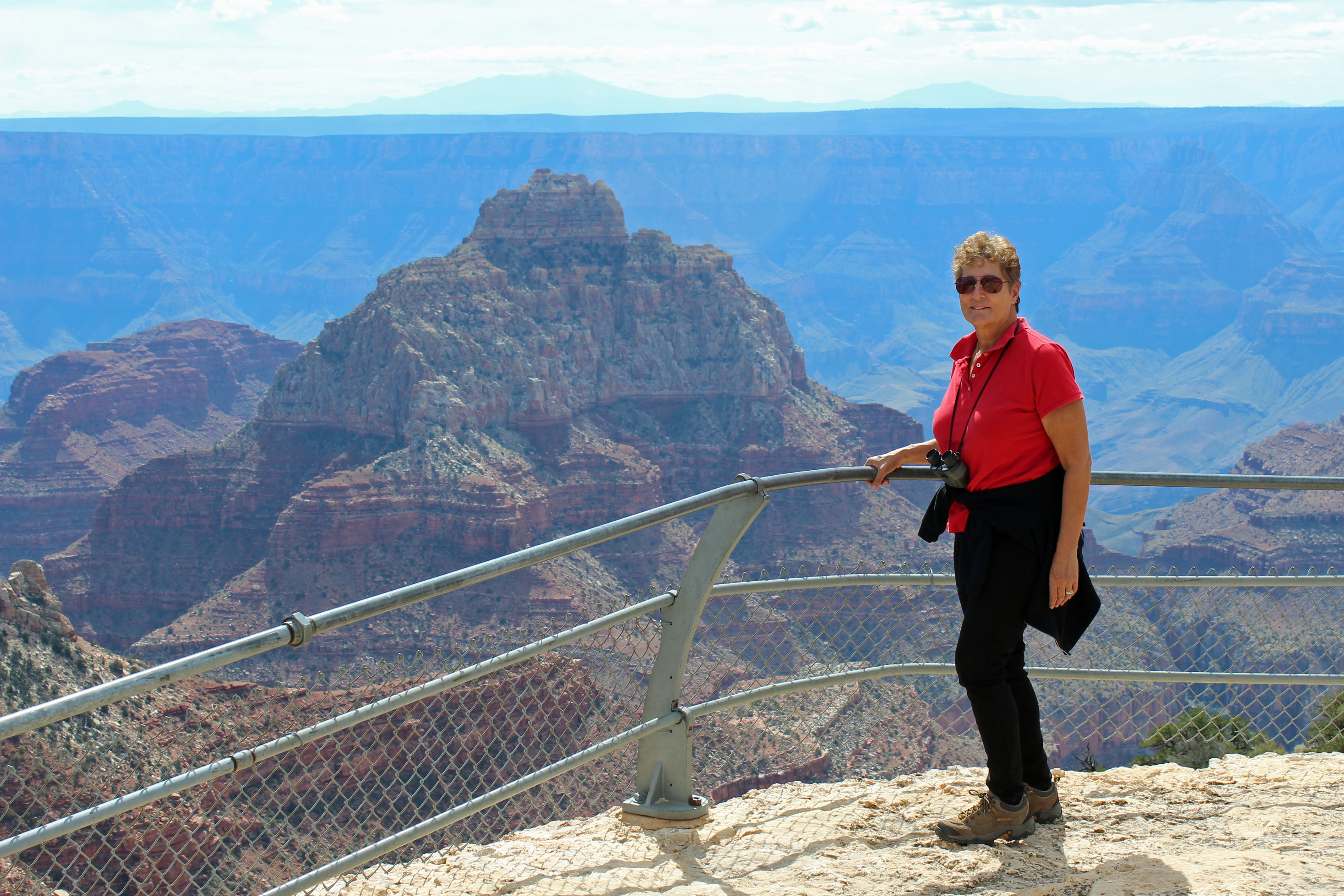
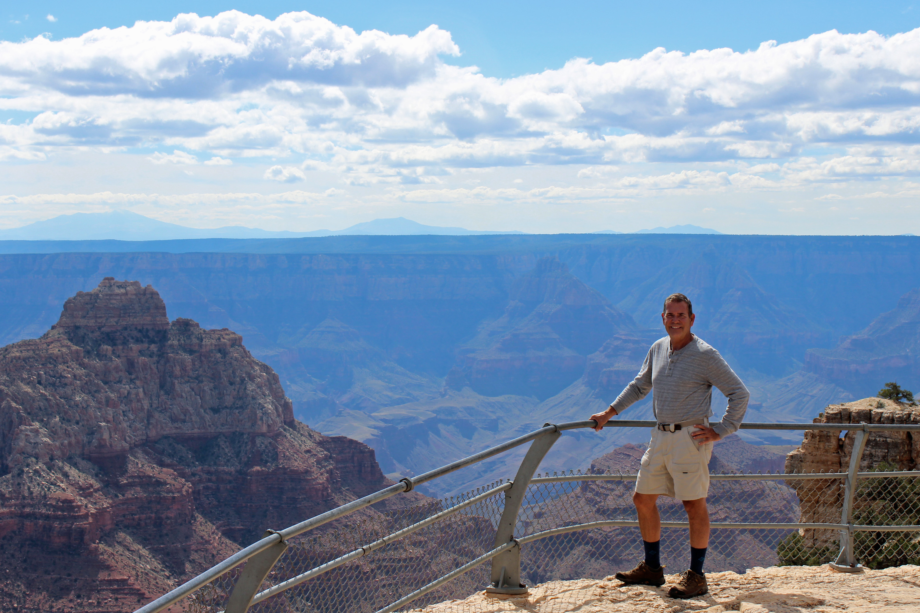
North rim campsite is great, dry camping with only 2 hours of generator time in the morning and 2 hours at night. Since we got here at 1:00, we headed out for another hike, which was probably 4 – 5 miles total. The Transept Trail was 1.5 miles along the rim from campground to the Grand Canyon Lodge, then another half-mile out to Bright Angel Point. These overlook points are breathtaking, as you perch at the very edge of the canyon and look out over the eroded layers of sedimentary rock. The elevation here is just over 8,000 feet, so we are higher than we were at Estes Park in the Rocky Mountains. You look south into the canyon and into the sun, so a lot of the canyon walls are in shadow and there is a surprising bit of haze and ozone across the distance. Maybe clearer air tomorrow, although it has been nearly cloudless skies.

North Rim (28)

North Rim (52)

Brave soul

North Rim (57)

Lots of Douglas fir, Ponderosa Pine and spruce trees here, making you think about those perfect Christmas trees with some Aspen just hanging onto their shimmering leaves.

North Rim (97)

North Rim (58)

North Rim (59)

North Rim (91)

North Rim (82)

North Rim (83)

North Rim (34)

North Rim (79)

North Rim (74)

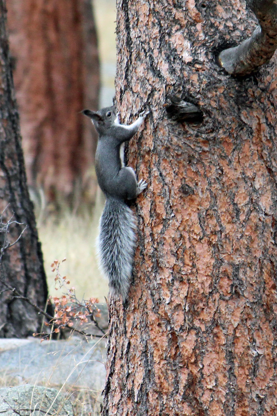
Jackie explained that there is a modern evolutionary example here with two species of squirrel that developed differently once separated by the canyon. So I am on the lookout for the Kaibab squirrel, which has different coloration from the Abert’s squirrel of the South rim. Oh, and there is a herd of bison in the park, but of course we saw none coming in through the meadows and fields. Maybe tomorrow.

Abert's squirrel

Abert’s squirrel

Kaibob squirrel

Kaibob squirrel

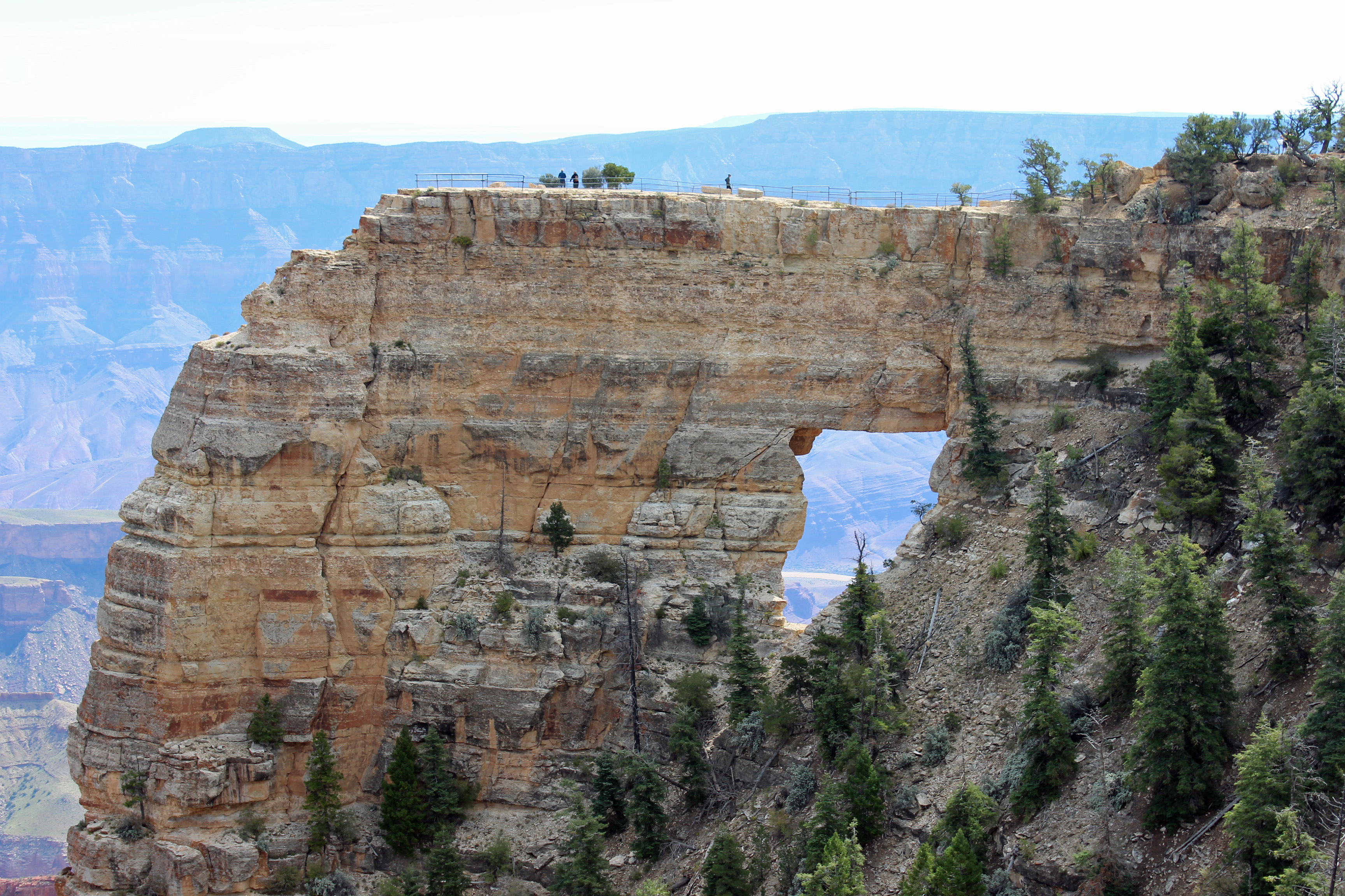
Next day in camp we decide to head out to explore a few more trails and vistas along a 14 mile roadway to Cape Royal Trail. The journey was a very winding road that went through spruce, fir, Ponderosa pines, aspen and then to Pinyon pine, sagebrush and cliffrose (which looks a lot like a cedar). We had short hikes out to some treacherous overlooks but gorgeous views all the way down to the Colorado River. Way cool. Tonight we want to stargaze over by the lodge before we pack up and head out to Zion tomorrow.

North Rim (85)

Thanks for checking in. A note to family: no cell service in the area at all, but wifi at the camp store.

Categories: Uncategorized | Tags: , , , , , , , , | 1 Comment

Wahweap and Vertigo

La Sal Mountains in Moab

La Sal Mountains in Moab

Reporting in from the Wahweap Campground and Marina in Glen Canyon National Park along the shores of Lake Powell here… and maybe just a little confused about the time. When we toured the visitor’s center at Lake Powell Dam (what a feat of engineering, by the way – something I would have shared with my engineering and technology class) I was surprised to see the time as 4:00, not 5:00 closing time. I asked if we had crossed into the next time zone, but was told Arizona does not observe Daylight Savings Time, so we are on Mountain Standard Time. Cool, we gained an hour.

But the campground straddles the Utah/Arizona border, so our cell phones can’t entirely get the time straight. Later in the week we will head to North Rim Grand Canyon, AZ (same time zone), then into Zion NP in Utah (hour ahead), then into Las Vegas (Pacific time) and back across to South Rim Grand Canyon (Mountain Standard), ….fa-get-abbat-it. Retired and off the clock anyway. We have one battery operated clock on board that I keep changing, but I can’t figure how to get my fitbit to change, so that one is useless. In fact, it had me at 10,000 steps just driving from Moab to Page yesterday. But I got off topic.

Great campsite

Great campsite

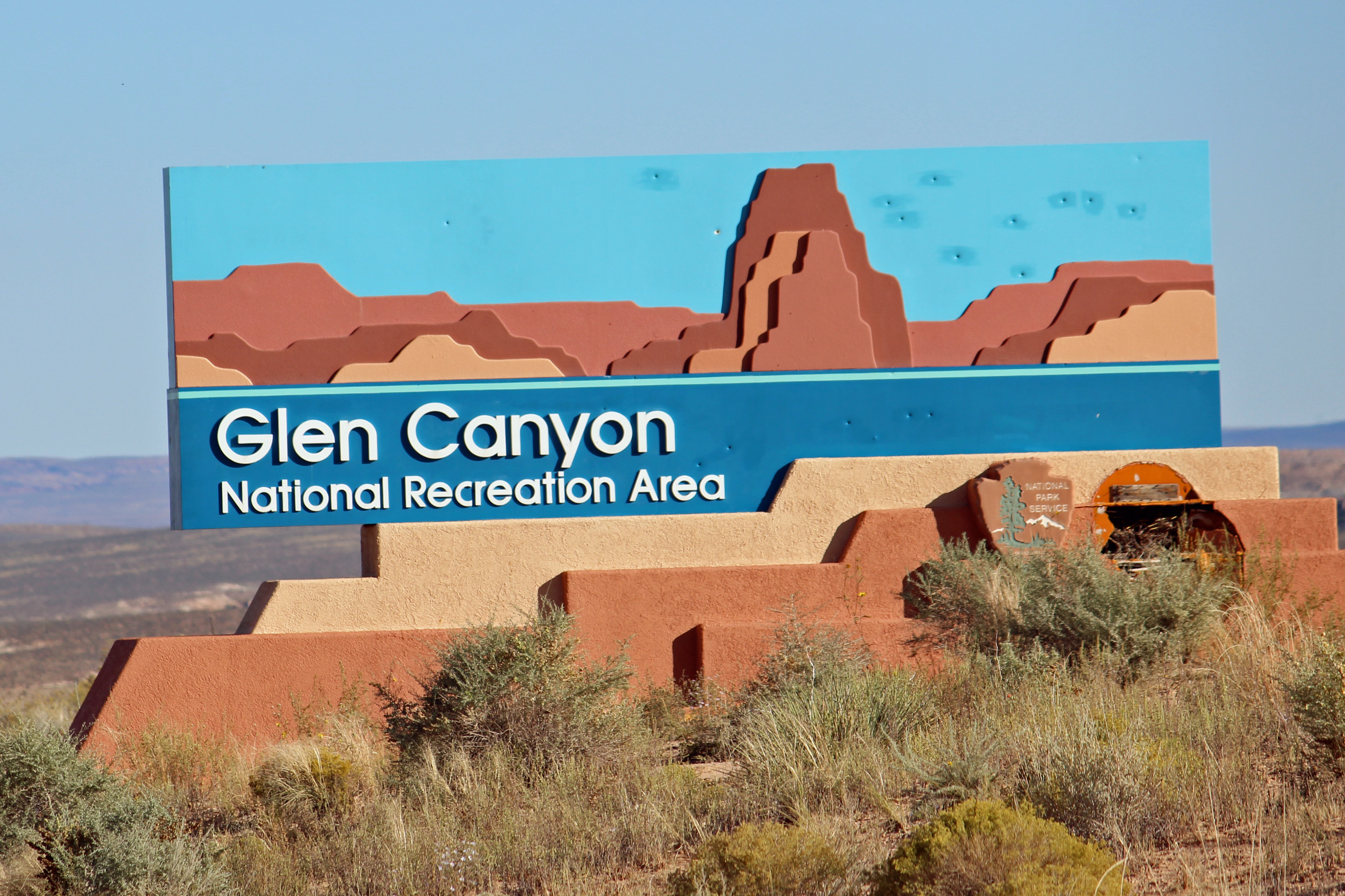
The sign colors match what you see.

The sign colors match what you see.

Glen Canyon 9

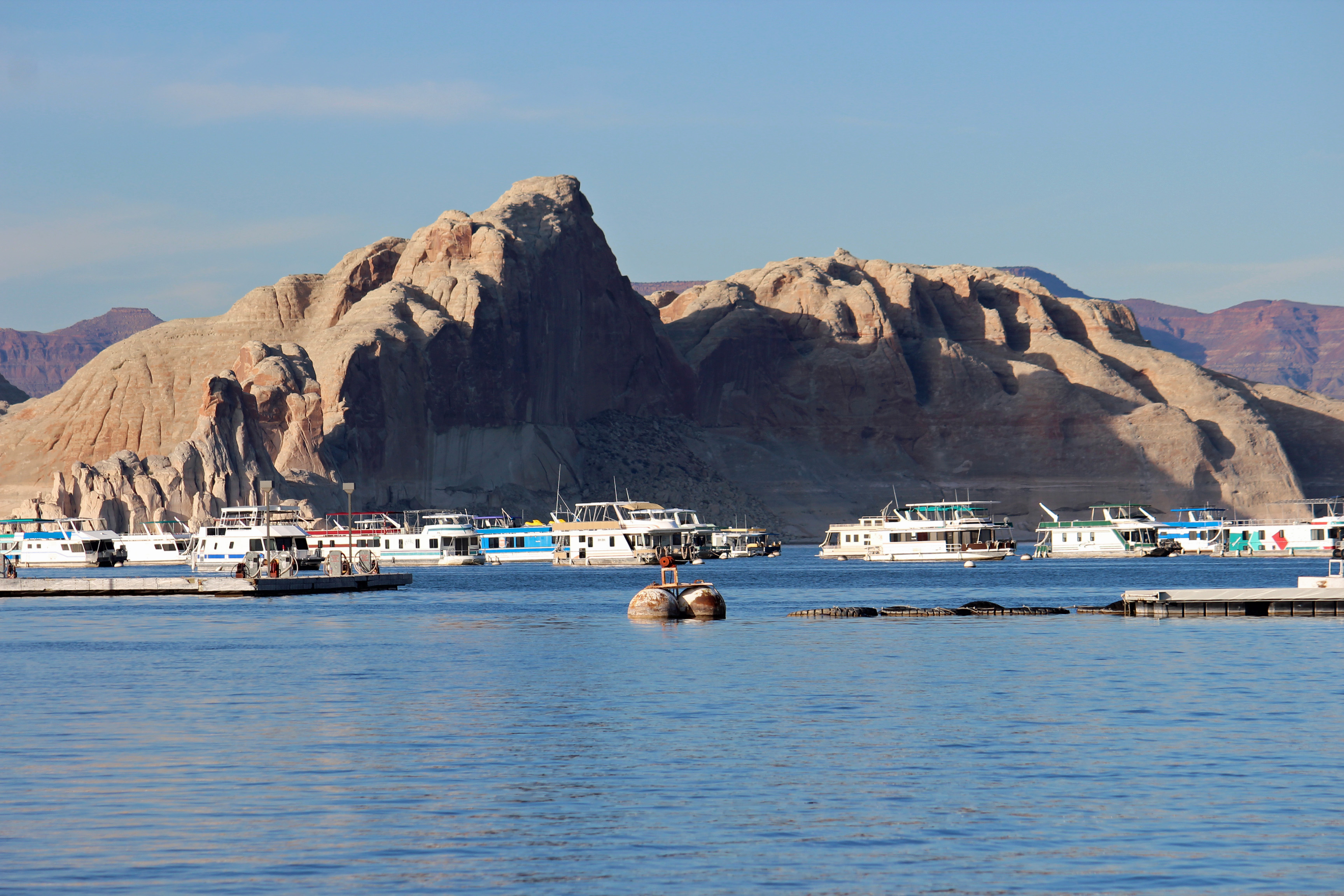
Lake Powell

Back to camping on Lake Powell. This is a top-notch campground for full hookups: flat and level sites and a great view of the canyon walls along the lake. You come to appreciate concrete pads and easy hookups after being on the road a few weeks. More about set-up and breakdown in a later post.  When we got up close and personal to the Glen Canyon Dam and the bridge that crosses the canyon, it was easy to feel a sense of vertigo – such a huge scale and such a deep canyon.  Amazing.

Glen Canyon 2

Glen Canyon Dam and Visitor’s Center

Glen Canyon Bridge

Glen Canyon Bridge

So about our animal spotting.  Lower Utah has scant wildlife or birds to see. The best we have done is one Prairie Falcon, otherwise mostly ravens and a few magpies. The long drive from Moab along the mesas and through the Navajo Nation looked promising. Road signs with leaping deer kept popping up, then proclaiming “Caution, Deer Crossing” and even “Watch for Deer in Your Lane”. Talk about easy, this was gonna be good – they were going to be IN OUR LANE. Nada. Wait, the next sign had flashing lights, and another said “Caution, Annual Migration Route”. Zip. “Open Range” with cattle symbols and then horse symbols. Nothing. Wait, what’s that? Sheep. One small herd of sheep. No roadkill, not even any interesting bug splats on the windshield. Skunked on wildlife.

Oh, a shout out to big game hunter Adam on two deer kills with two arrows!

Monument Valley 2

Monument Valley

Monument Valley

More of Monument Valley

Buttes in Monument Valley

Buttes in Monument Valley

Actually, the drive was fun. You were constantly surprised about what lay just over the horizon. Looked real flat with mountains in the distance, then suddenly you dipped down into a canyon and were surrounded by red sandstone cliffs. A little later you would see flat-topped mesas and buttes around you. The red, brown and beige stripes of rock layers on the canyon walls would change as cloud shadows passed over them. Every outcrop has a name, and copilot Jackie scrambled to find them on the map. We took a scenic byway and a side road that we worried would be tricky for the van, but which turned out to be very easy and scenic. We drove through Monument Valley and recognized iconic scenery from movies and commercials (all those buttes standing out in the red valley). We couldn’t help but start humming songs from our favorite westerns (Bonanza was a favorite).

I will post a few pictures from our Arches hike to Delicate Arch in the rain here, and the traverse of the slickrock.  Look very close to see the parking lot waaaaaay in the background, or some of the other hikers waaaaay up on the rock.

Arches slickrock 2

Soaked on the hike

Arches slickrock

Uphill Climb in the rain

Petroglyphs in Arches

Petroglyphs in Arches

So today we are headed on a hike to Horseshoe Bend, then Hanging Gardens and try to book a tour of Lower Antelope Slot Canyon in the Navajo Nation.

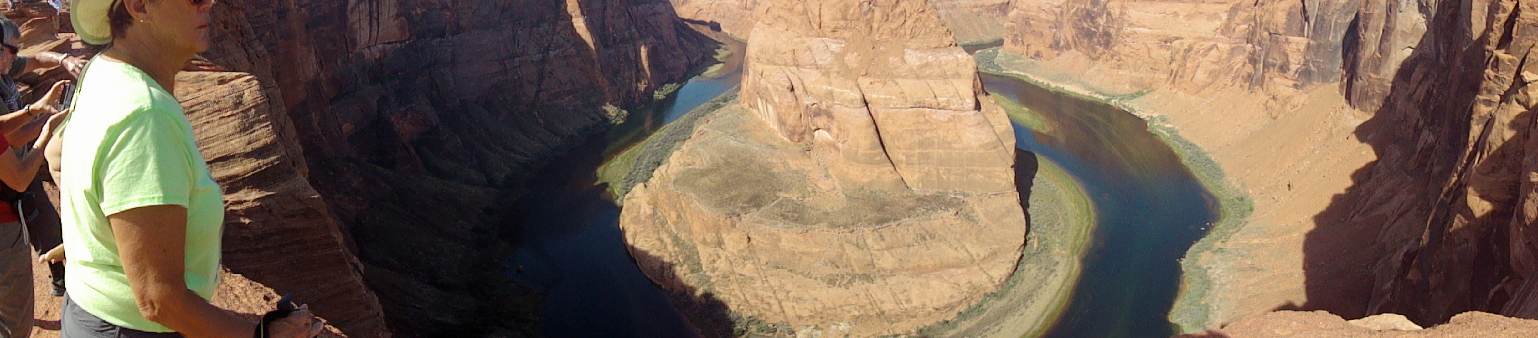
Update on the day, as we sit at camp relaxing with an adult beverage. We did head to Horseshoe Bend to hike in to the canyon rim from the parking lot. Probably a mile in – and oh my the tour buses had arrived. Mind you, I am talking about the largest buses you see on the road, filled with tourists. In this case, the Chinese tourists once again, with their umbrellas, sun hats, very well dressed but not always appropriate for hiking. (No offense intended, it’s good to see the visitation at our National Parks). Now we have also seen a lot of German and French tourists, too, but they seem much more prepared for the hikes.

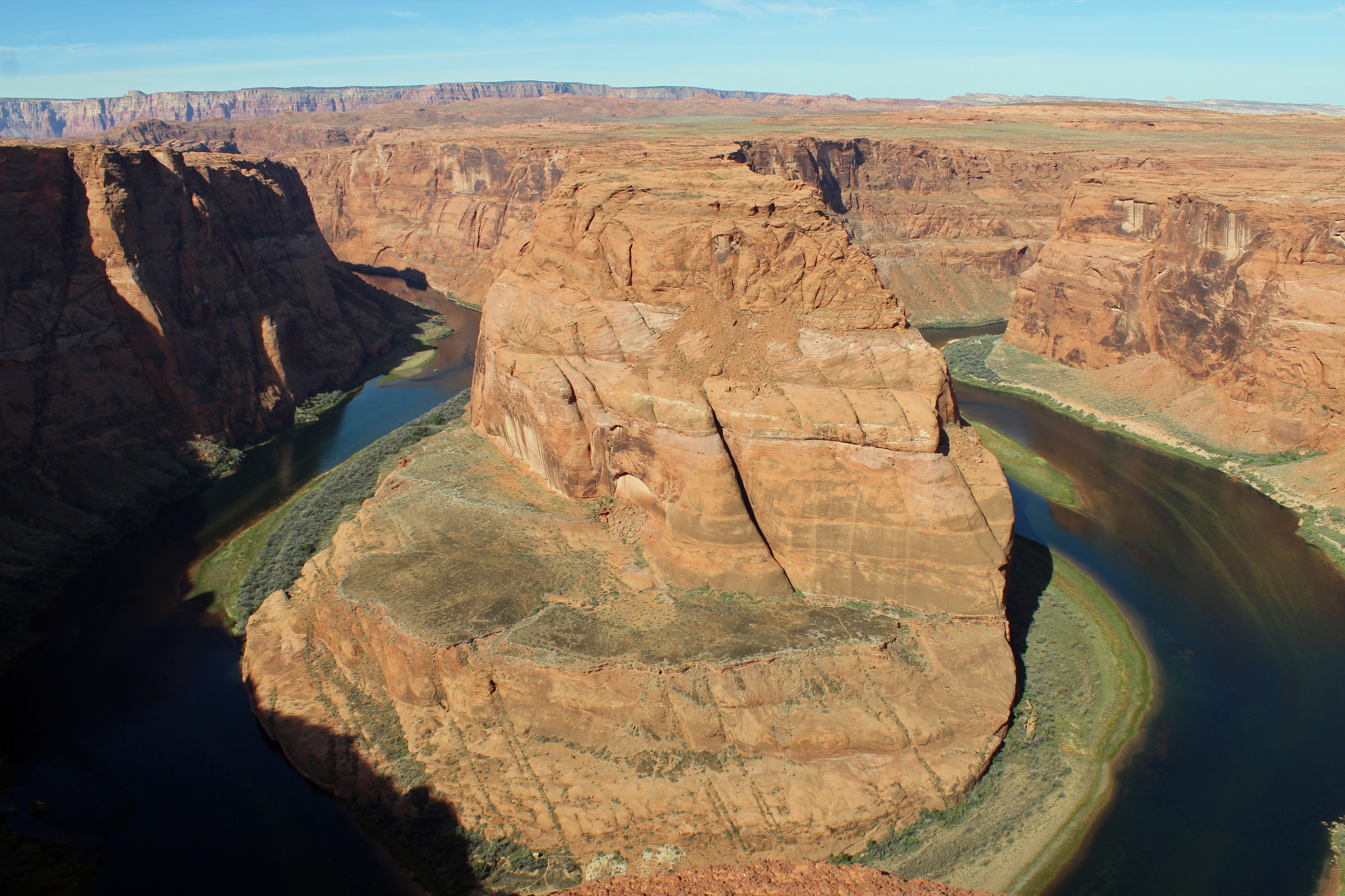
Horseshoe Bend

Horseshoe Bend

Mind the edge Jackie!

Mind the edge Jackie!

Back up just a little...

Back up just a little…

Anyway, once getting to the rim of the canyon and looking at where the Colorado River takes a 270 degree turn through the rock walls was quite the breathtaking experience. Seriously, you stood at the rim looking across and maybe down, and you really did gasp. It was indeed a slightly dizzying experience with a bit of vertigo. We joined the multitude and tried for some selfies, while being a little concerned watching folks literally creeping to the rock edge to sit for a picture. It was a rare sight.

Glen Canyon 4

Glen Canyon 7

Glen Canyon 6

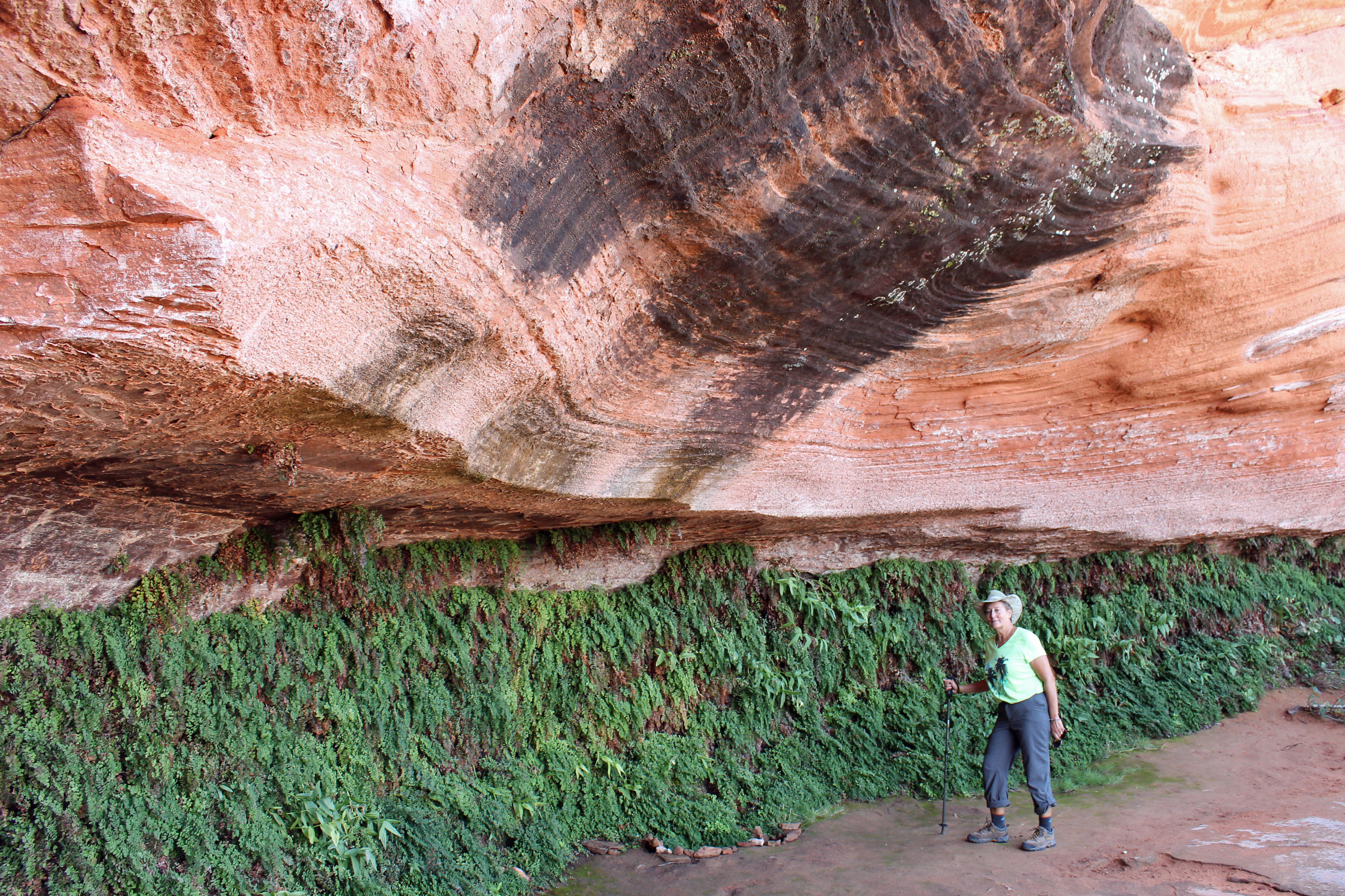
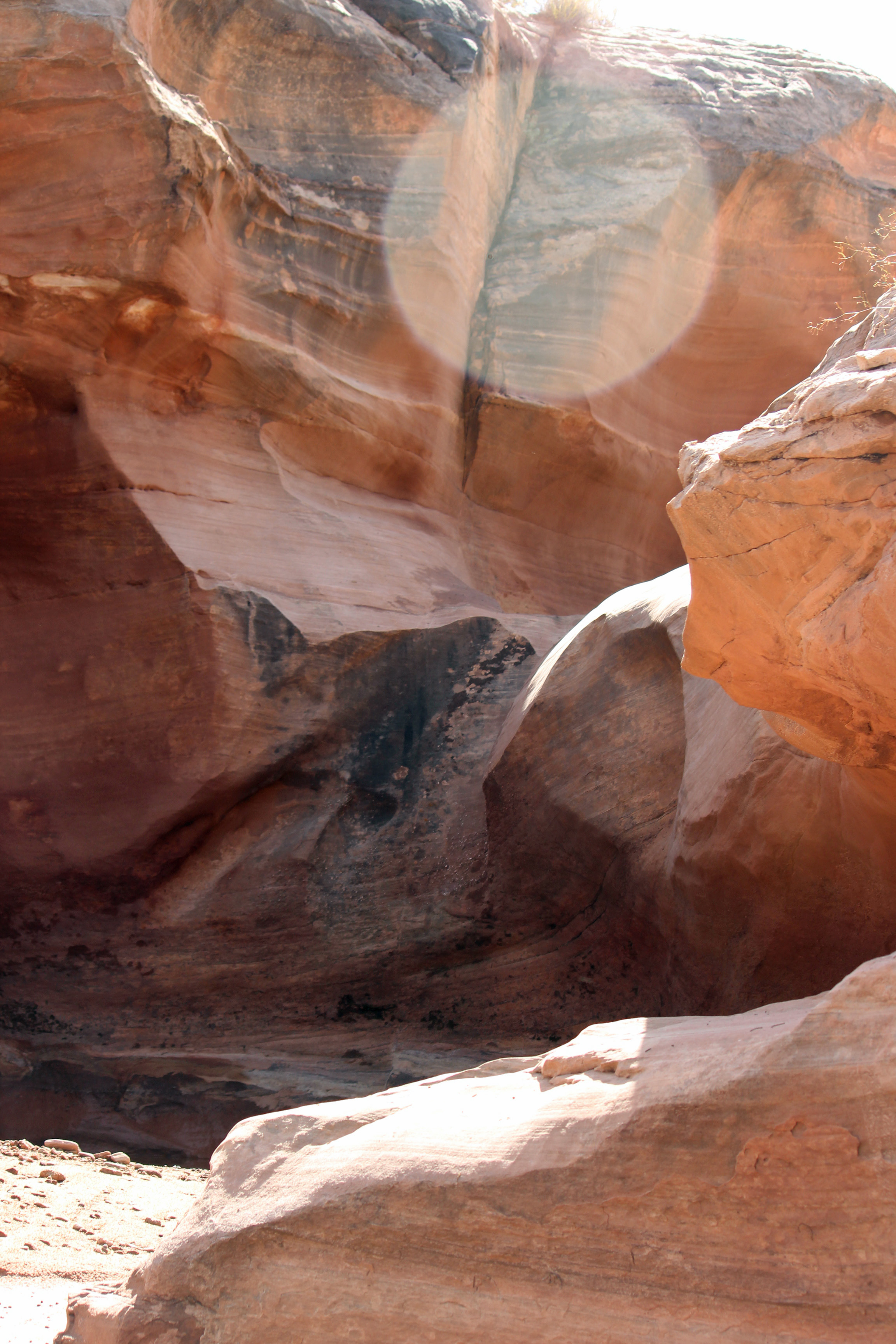
Next stop was to be a hike through a slot canyon in the Navajo Nation, but the rain from yesterday morning had the canyons shut down until the water drained out. We took a relatively short hike to see Hanging Gardens, which was a quiet hike to an overhang where there were lots of maidenhair ferns growing beneath. That was fun and no tour buses were in sight. After lunch we tried what was to be a 3 mile roundtrip up a sandy wash to an arch and then a small slot canyon. This time it was just the two of us following some previous footsteps up through a fun and challenging sand and rock wash. But it registered 6 miles for Jackie’s phone and about the same on my fitbit. Something about these western measurements. We made it to the arch, but not the extra half mile to the slot canyon. Did see some jackrabbits.

Wash

The rocks that surrounded the wash.

We head to the north rim of the Grand Canyon tomorrow, followed by Zion NP. Neither has water, but Zion does have electric. Fill up the tanks and off we go in the morning.

Categories: Uncategorized | Tags: , , , , , , , | 2 Comments

Didn’t expect rain …

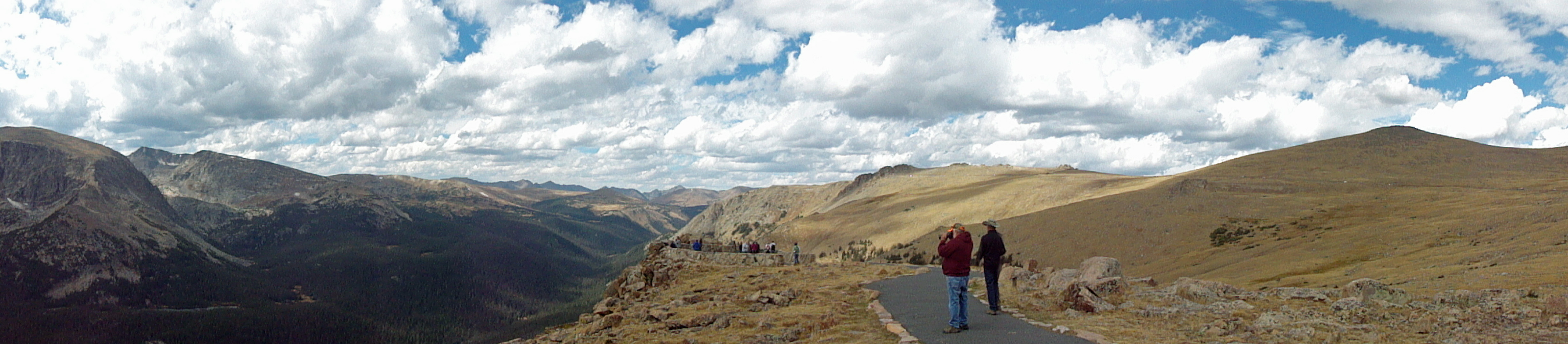
Alpine tundra Rockies panorama

Alpine tundra at Rockies

Rockies Day 3 (2)

Dusting of snow on the peaks the morning we leave

Howdy! Where did we leave off in this wild adventure? Ah, when we last checked in we were making our way across the western part of Colorado. It’s good we made it as far as Grand Junction, because the next task was to get to Moab and Arches National Park in time to make camp and enjoy the park. That drive wasn’t bad at all, pretty flat, open land with scrub and sagebrush and an easy road to follow. Better have a full gas tank, though, as most exits had nothing at all, just a road that crossed the highway.

Arches at last and yikes the line of cars and campers to get in was huge. It was Sunday and a crowd was not unexpected, but this looked more like the entrance gates to Disneyland. Jackie actually fixed lunch and we ate while moving slowly into the park entrance. This month the entrance fees just increased, but thanks to our America the Beautiful senior pass, we didn’t pay anything. Nice benefit for seniors!

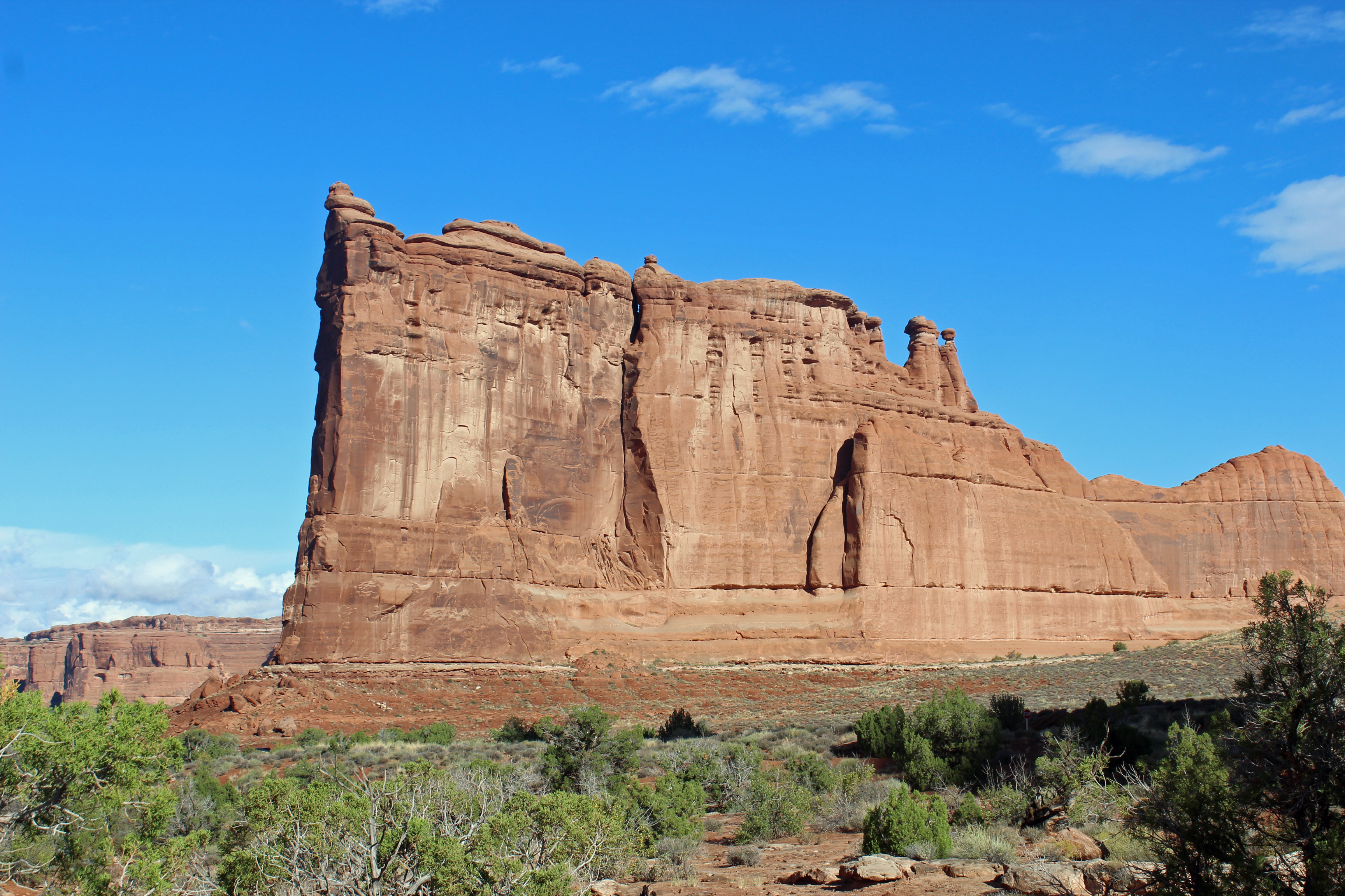
Ok, the entrance gate wait was a challenge, but then the ride began like one of the roller coasters as Six Flags. Up, up, turn on the switchback, up, up, switchback, click, click, click and you expect to start down the first drop off, but instead you level off a bit and the scene gets dramatic. Huge red sandstone monoliths rise from the plateau in all sorts of shapes and sizes. Something of a cross between a giant chess set and huge “drip castles” – you know, the ones you make with wet, drippy sand at the beach? Absolutely breathtaking in size and scope. Arches has the most dramatic entrance of any national park.

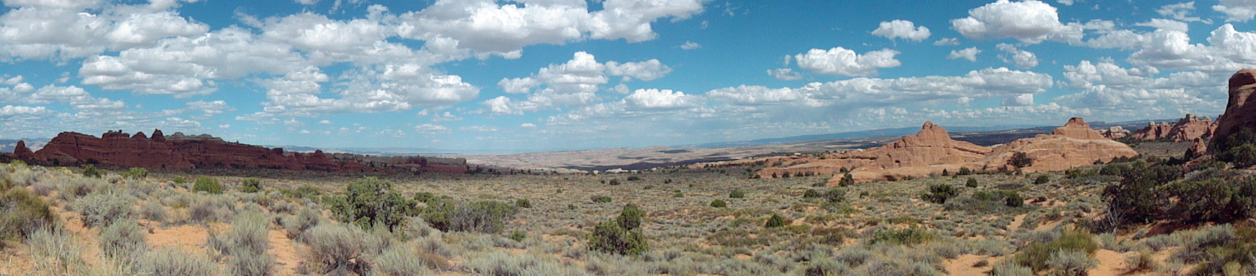
Arches National Park panorama

Arches National Park panorama

We wound our way along the roadway, up and down, some downshifting involved, each pointing out something different in our window (oh yeah, keep your eyes on the road, Doug). It was 18 miles to the Devil’s Garden end of the roadway where the campground is located. As you drive along, you look ahead to canyons and plateaus and notice way, way over there is a road with cars on it … oh is THAT where we are headed? Objects are farther than they appear in the mirror, or window. Lots of cars, and lots of rental class “C” campers along the way and several large tour buses.

Devil's Garden campsite

Devil’s Garden campsite

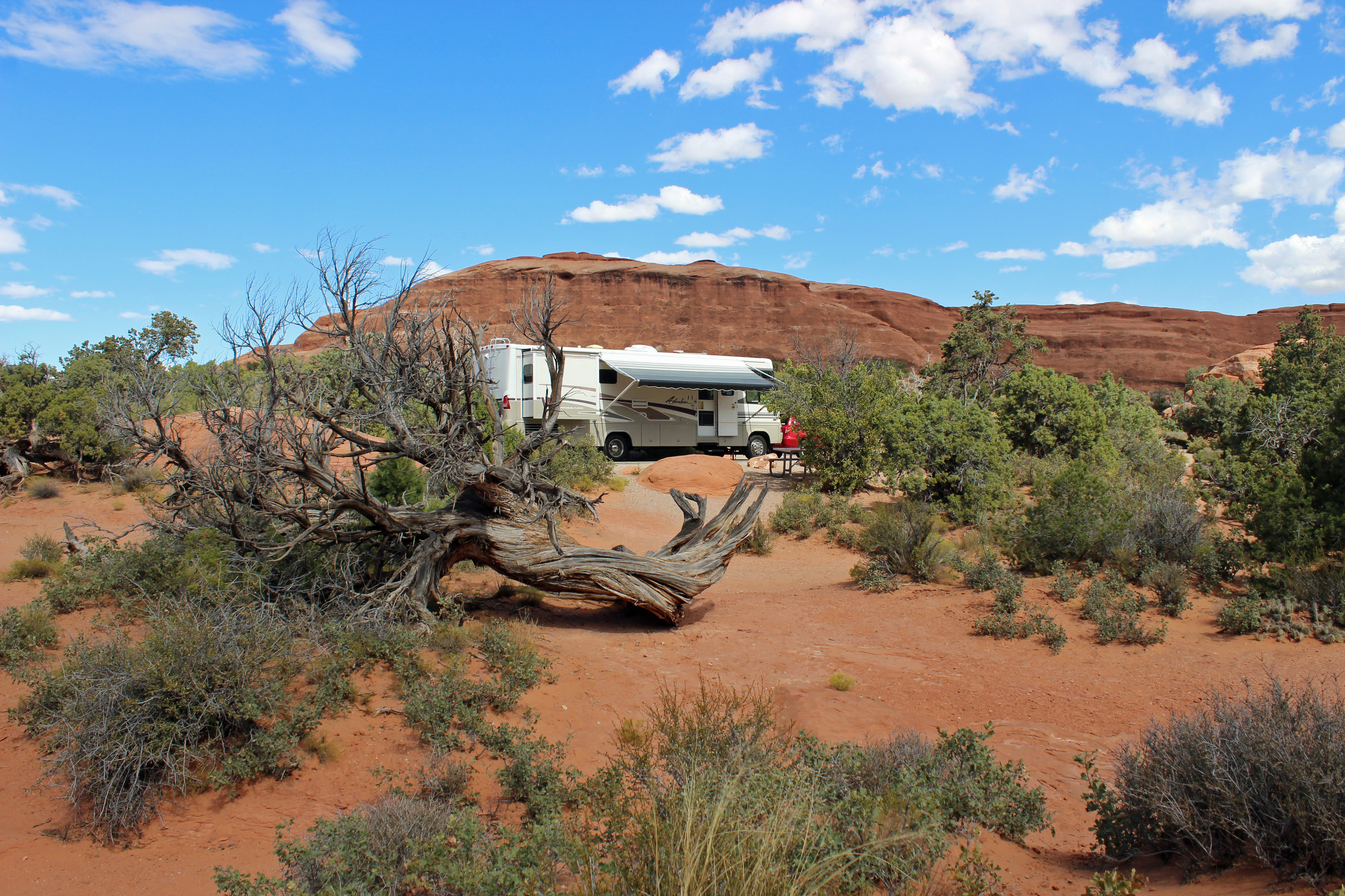
We pulled in to the campground, unhooked the car and drove to the campsite. Had to unhook the tow dolly to back in to the site, but it is fantastic. There are only 50 sites here, so each has plenty of space around it, with junipers, sagebrush and boulders, with a backdrop of red sandstone surrounding most sites. So cool. I guess if you could camp on Mars it would look something like this, minus the vegetation.

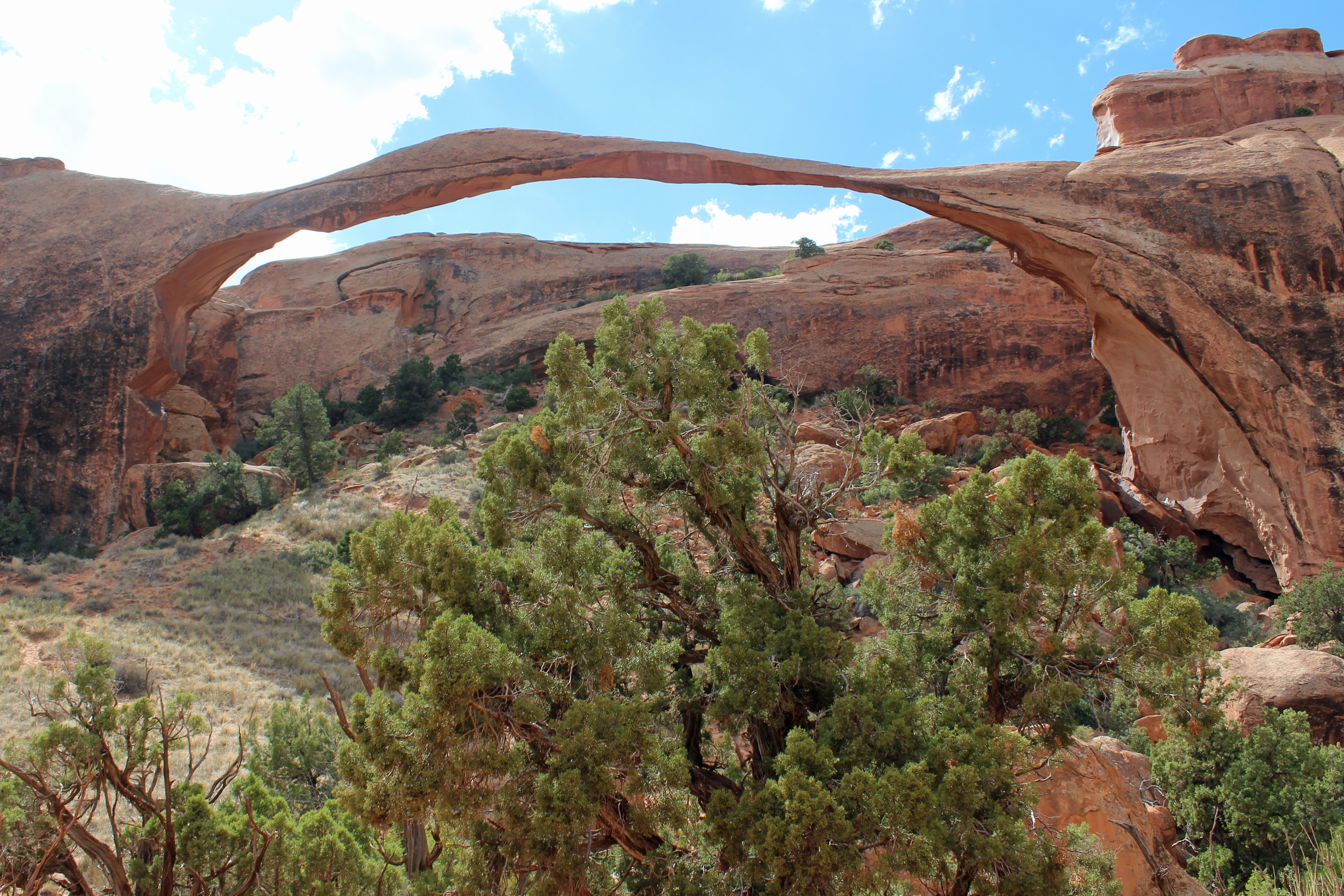
Landscape Arch

Landscape Arch

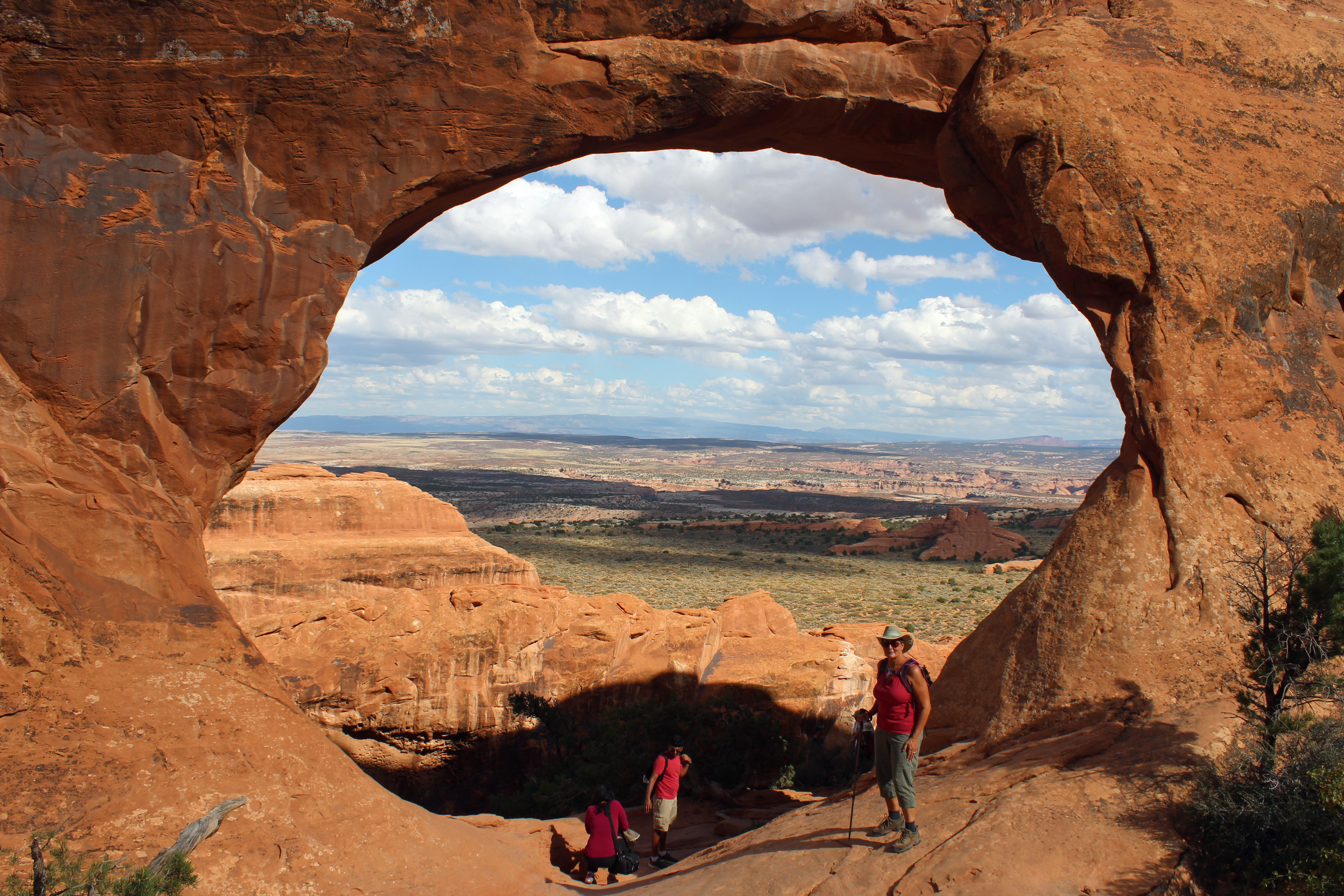
It is dry camping, so we have to use onboard water, propane, generator and batteries. We quickly made camp and fixed our packs for a hike in Devil’s Garden. The trail maps we have say this might be a mile or so, not something that should be too difficult for us. Off we go, only to find ourselves on a nice trail that has so many people hiking with us, or more accurately, passing us. The trail was pretty easy footing up to Landscape Arch and then turned very sandy until we got to the base of the sandstone fins. Where did the trail go but up the slanted spine of the rock. Ok, that should be an acceptable challenge, but as we were climbing up the rock, the Von Trapp family went whizzing past us, led by the youngest practically running up and bouncing us off the rock. It was a busy day on the rock. But once we got up to one of the summits and Partition Arch it was worth it. What a view. Back down, carefully, and we continued to be amazed by the folks hiking in, like it was nothing at all. The tour buses seemed to be filled with Chinese visitors, and let me tell you, those older women were not daunted by the climb at all. And taking pictures with their iPads. Well that can be forgiven, everyone, myself included, was taking pictures. You had to wait your turn at a few of the arches, unless you didn’t mind getting everyone else in the shot.

Arches Day One (39)

Arches Day One (42)

Arches Day One (44)

Arches Day One (36)

We took a break back at camp and decided to go to see Delicate Arch before sunset, when the colors are brighter orange. We drove to the area, decided to do the viewing area instead of hiking up to the actual arch. Good thing, as the upper viewing area hike seemed a half mile up anyway. (My definition of a viewing area is like a scenic pull-off… you step out of the car, say “wow” and get back in. Guess that doesn’t apply here). We saw it, took pictures and since the sun was obscured by clouds, we headed back. I didn’t think it was as spectacular as several of the other arches we saw.

Delicate Arch

Delicate Arch

Showers overnight and light drizzle started things off today – seriously? Here in the desert Southwest? Well it is our full day in the park, so by golly we are gonna see them arches. We went to a few that actually did have shorter hikes to them (Windows arches and Double arch). Then we agreed to try the trail to Delicate Arch to get that famous shot. What’s a little drizzle when you have the right gear? Besides, it is only 1.5 miles, with a 480 foot elevation change. Piece of cake. Umm, I think we just hiked up Stone Mountain – and because the rain continued to get worse, we didn’t make it to the arch, maybe only ¾ the way. Storm clouds headed our way were full of rain. As we found out, the roadway into the parking lot was now closed and beginning to flood.

Arches Day One (30)

The “trail” was up the slickrock behind Doug

Arches Day 2

Arches Day One (13)

Arches Day One (28)

Nice challenging hike, though. Some of it is across a broad stretch of open slickrock, where you follow the rock cairns (stacks) to find your way (or the splotches of chewing gum). Was cool seeing the rivulets of water running down and across the rock. Still, we were passed by more Chinese women who just kept climbing (no disrespect intended). Oh, and more of the Von Trapp family was happily bounding down the slickrock trail, with little Gretta maybe only two years old. Just a little humbling (some disrespect intended).

You have to picture this, though. It’s raining, no doubt about it. Yet folks in their disposable ponchos, shorts, tennis shoes, t-shirts, nice white pants, yoga pants, Little Mermaid umbrellas all make the pilgrimage along these trails heading … where? The end of the trail, which gets harder to distinguish as you go along the slickrock? Onward they walk, snapping selfies and dripping water. Why? Because the views and the landscape are uniquely otherworldly. Still, it almost seems as busy as the mall on a week-end. Even the parking lots are full.

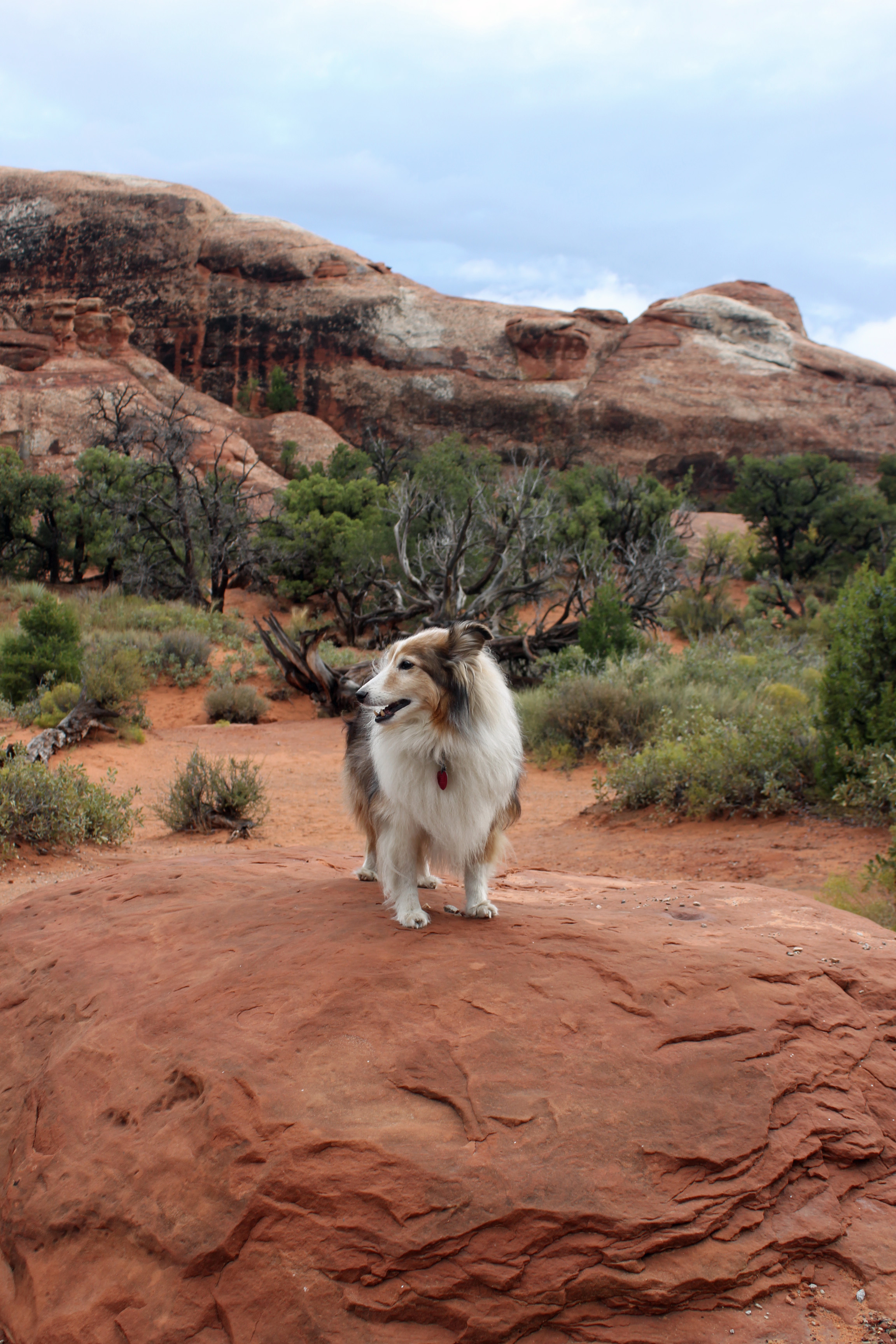
Arches Dog Benji

Arches Dog Benji

Now let me caution you about the National Park Service and their math skills. I don’t think they know how to measure distances. The trip to Delicate Arch viewing was supposed to be 100 yards roundtrip … no way. The trip into Devil’s Garden was supposed to be about 1.9 miles to the arch we saw, but Jackie’s phone tracked 8 miles round trip. And today’s trek to Delicate Arch trail, listed as 3 miles round trip? We both tracked that at over 4 miles without actually making it all the way to the arch. Not sure how they figure it, but count on it being farther than you expect.

As soggy as we were, it was an exhilarating hike today in the rain. A good personal challenge. Thank goodness we could go back to the van, heat up some soup and a quesadilla for lunch and put on the heater and change into dry clothes.

Arches Day One (52)

Arches Day 2 (58)

Arches Day 2 (63)

Arches Day 2 (56)

Arches Day 2 (52)

Arches Day 2 (45)

Arches Day 2 (28)

Arches Day 2 (20)

Arches Day 2 (11)

Arches Day 2 (10)

Arches Day 2 (53)

When we awoke the next day it was blue skies and warming, so as we drove out of camp we stopped for yet another hike into the Park Avenue section. This area of sheer red sandstone walls seems more like you are walking through a huge old Roman city that has crumbled. Back in the car and camper and on to Moab KOA. Jackie drove the car with the tow dolly attached, which made the descent much easier in the RV. Nothing special about the KOA, except for a nice view of the La Sal Mountains, which now have a cap of white snow on them. A grocery run in town and dinner at the Moab Brewery, highly recommended by friends.

Hey, thanks for checking in for our Week 3.

Categories: Uncategorized | Tags: , , , , | Leave a comment

Downshifting into Week 2

Rocky Mountain Day 2 (2)

Today we wound our way down out of Rocky Mountain National Park, through Estes Park and Boulder and then across Colorado on I-70 to Grand Junction area – James Robb State Park, to be exact, alongside the Colorado River. The river was a clear ribbon we followed out of and across the Rocky Mountains. If you have ever done this trek, you know there is a lot of downshifting going on, both down the serpentine roads and then as you wind your way back up again. But I skipped ahead and need to let you know how it was in Rocky Mountain National Park. AMAZING.

Rocky Mountains (59)

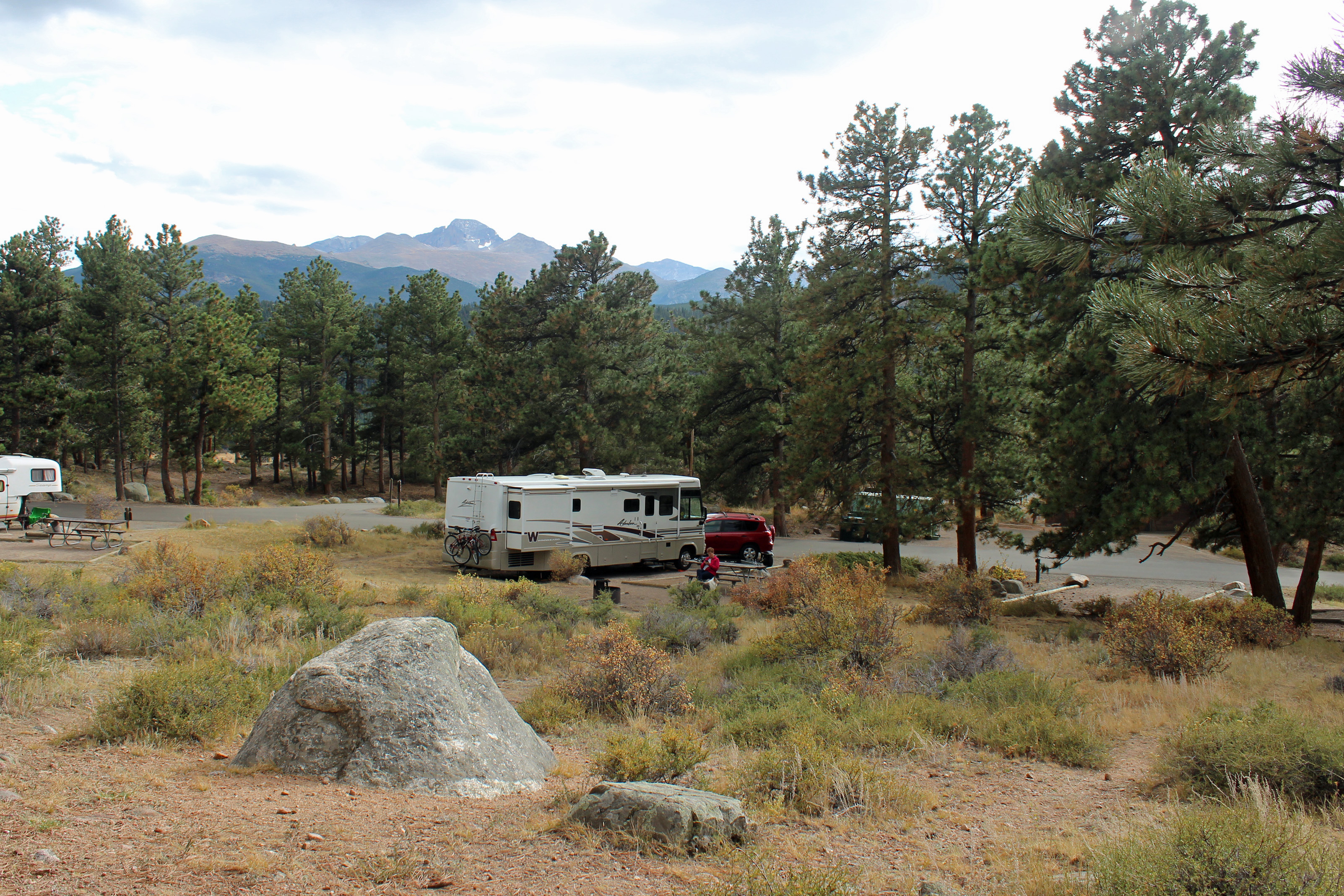
I might overuse that word just a bit, but it really was an awesome experience. We arrived in camp knowing it was a first-come basis for campsites, but we didn’t expect to find the LAST campsite available. A bit of panic set in just before we claimed it for our own, but it worked out just fine, even though it was across from the restrooms and the bear-proof garbage bins.

Rocky Mountains (85)

Rocky Mountains (97)

Rocky Mountains (26)

Rocky Mountains (115)

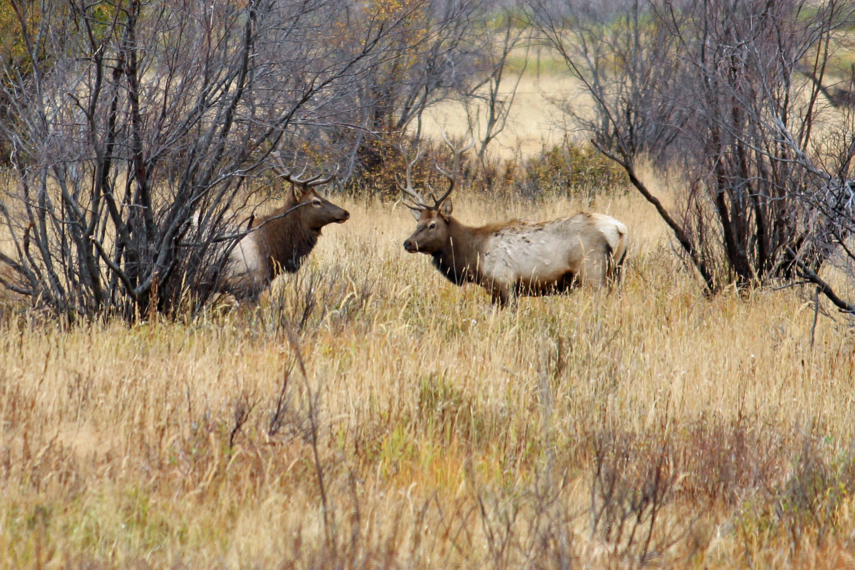
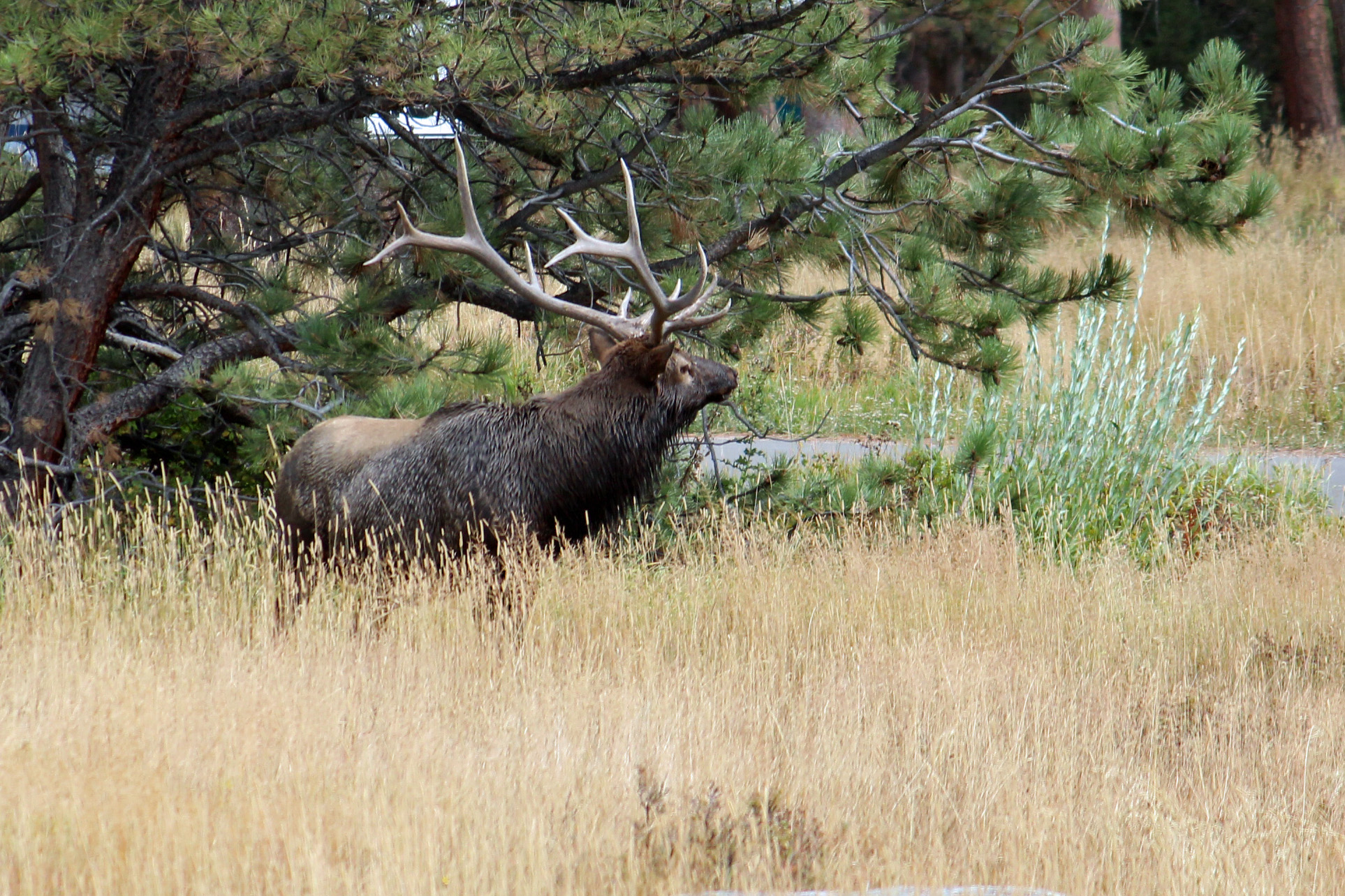
Bull elk

The park was very busy, which surprised us, but we were told that September is their second busiest month due to elk viewing. This is also the park’s Centennial, so I think there has been a greater push to visit the park. It was evident, as we wove our way through the many cars parked alongside the road every place there were elk. But they were spectacular beasts. The bull elk were in rut, so they were rounding up and stealing from each other’s harem of hinds (females). The younger males tried their best, but they seemed to always be on the fringes. The bugling calls of the males were heard day and night, a very eerie sound that reminds you that you are in their mountains. The aspen are all golden and orange, sprinkled among the spruce. It makes for very colorful mountainsides. Unfortunately, the spruce beetle has really taken a toll on the trees, with at least a third of the trees dead or dying.

First hike we did was around the Morraine Park meadow, the place where most of the elk hung out (although they and the mule deer wandered through the campground). At one point in the 5-6 mile hike we were on the far side of the meadow away from all the cars and spectators and we had fairly close view of about 12 = 15 males challenging each other. When we heard calls up the mountain behind us, we picked up the pace so as not to stay between them. These guys move quick.

Rocky Mountain Day 2 (53)

Rocky Mountain Day 2 (52)

Rocky Mountain Day 2 (61)

Rocky Mountain Day 2 (70)

The long trail down

We were proud of our hikes, since our walking routine these past months has helped get us in shape. But folks from Colorado out-do you every time. I think it must be a requirement to live in the state that you bicycle or hike miles and miles each day. It is definitely a very bike friendly state. “We just did a little 10 mile hike to the five lakes …” was heard on the shuttle bus. Sheesh.

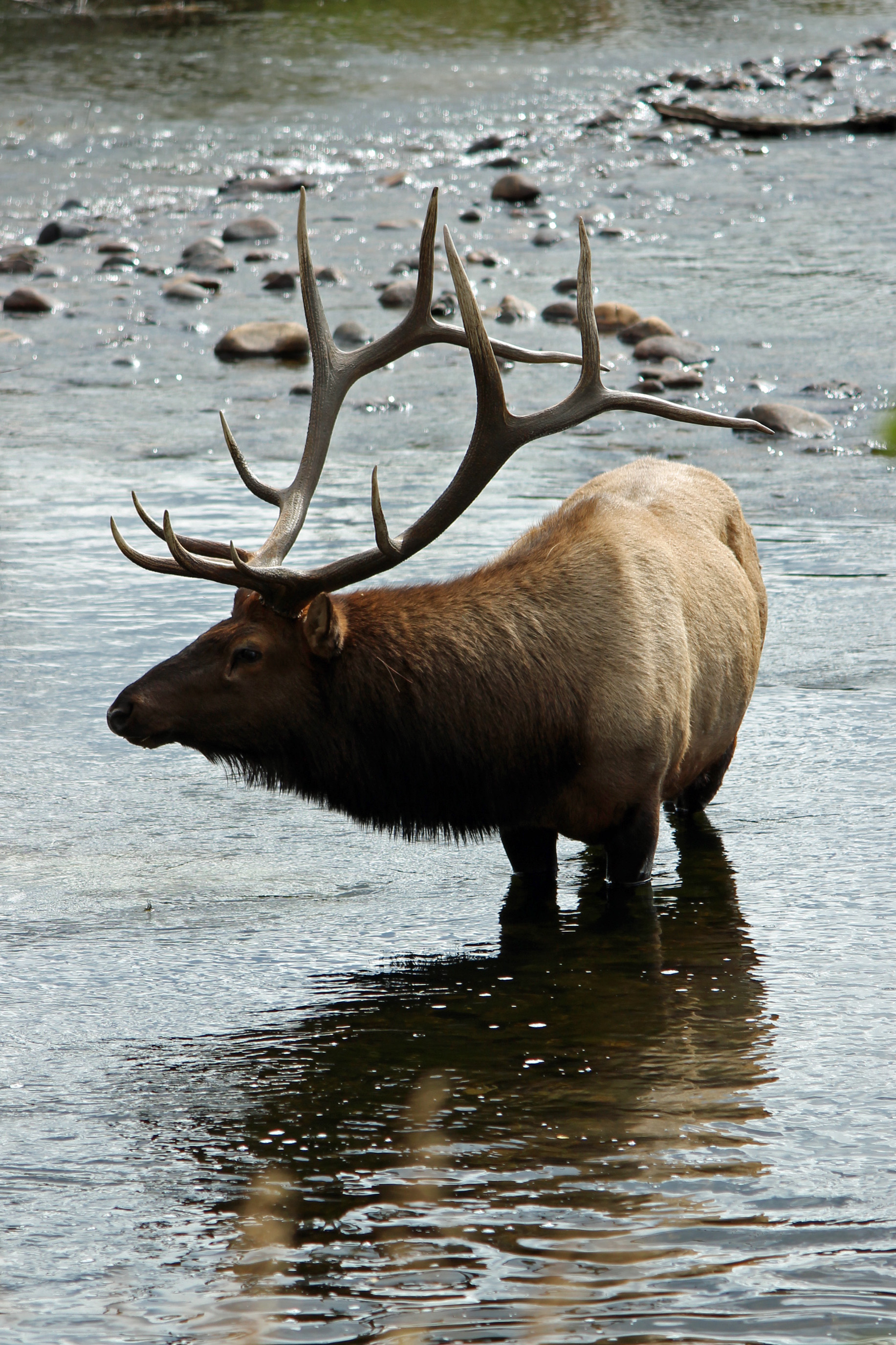
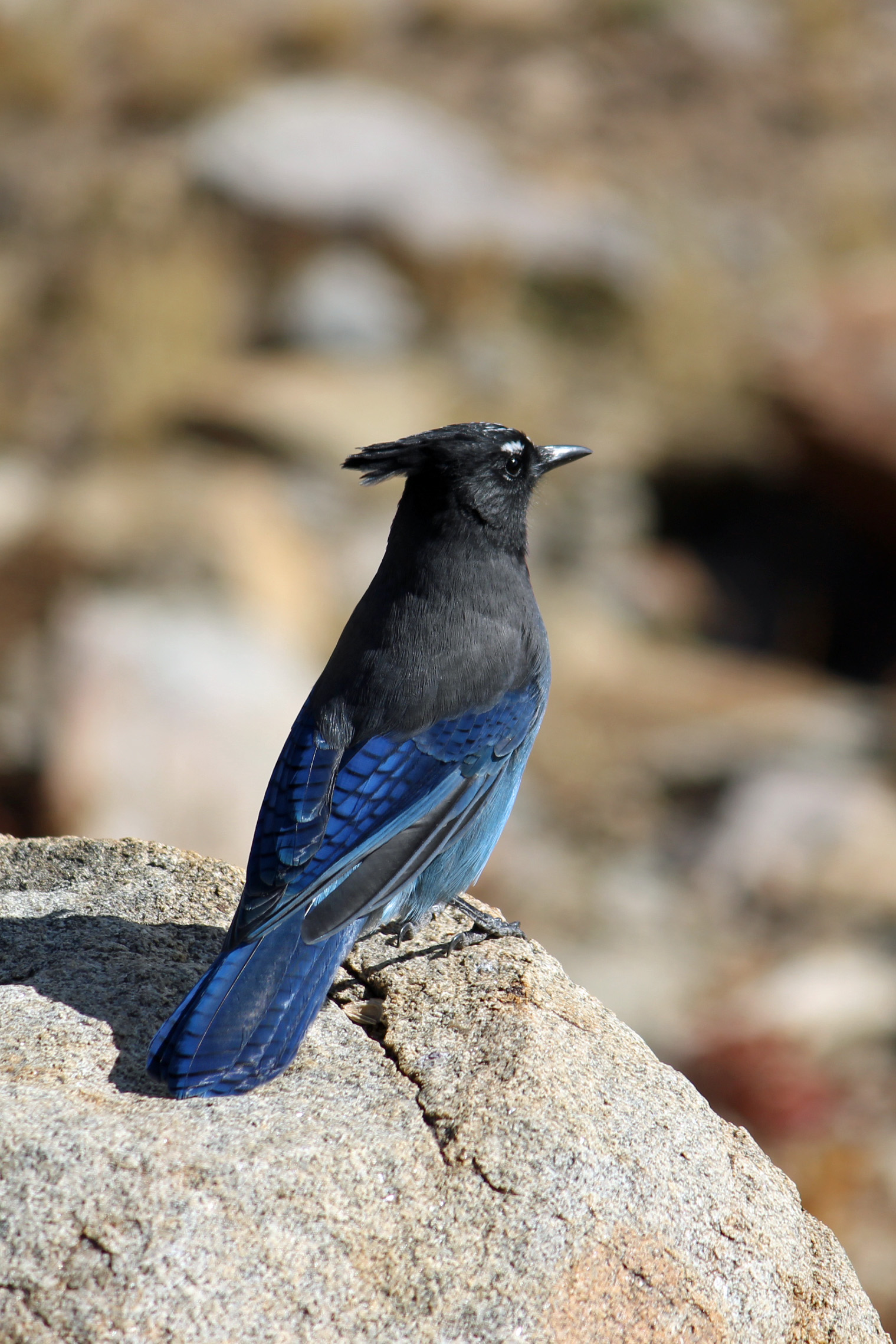
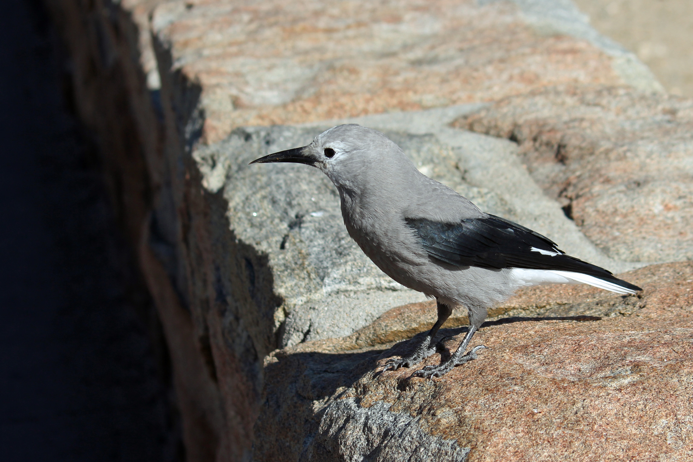
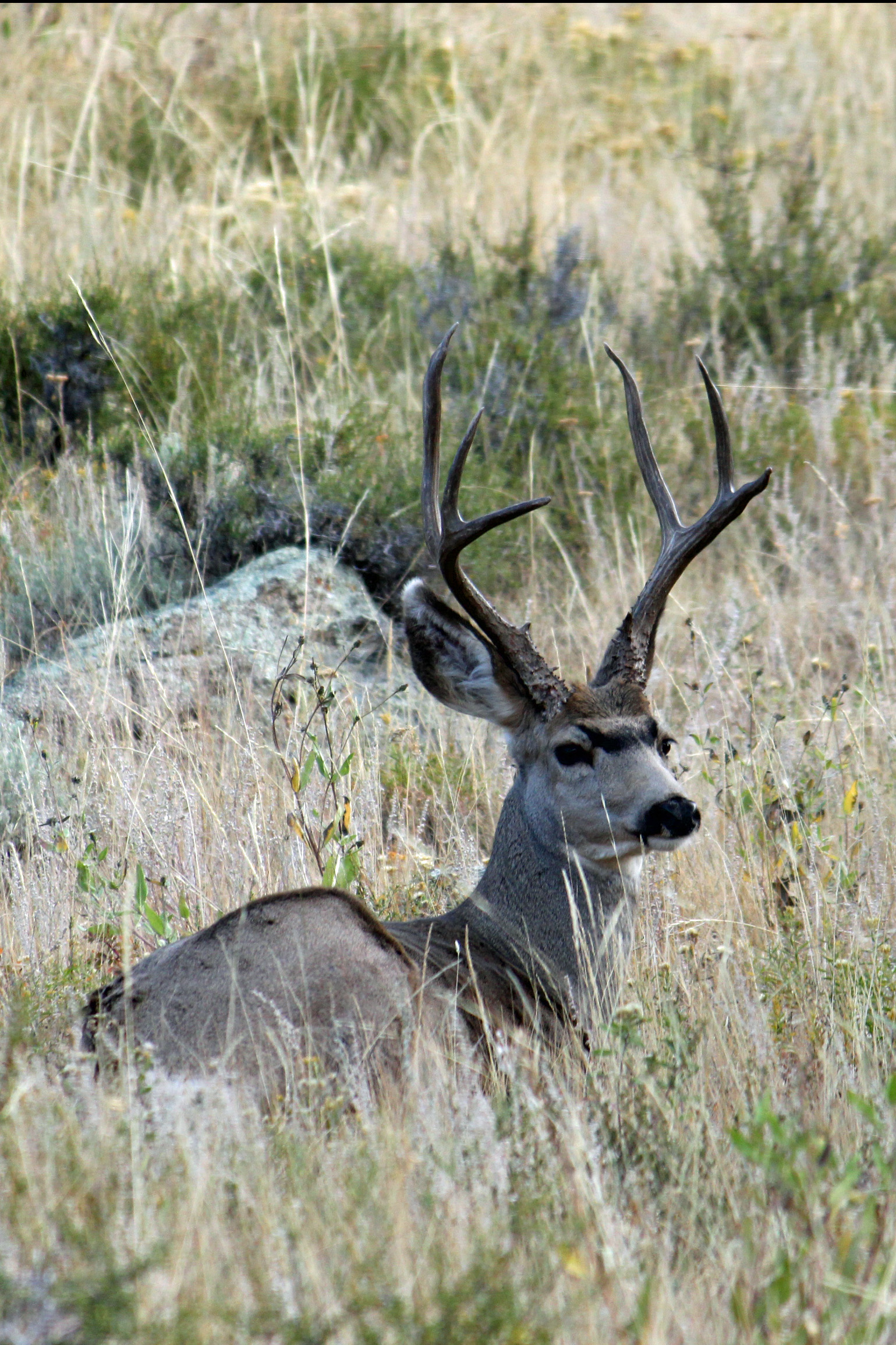
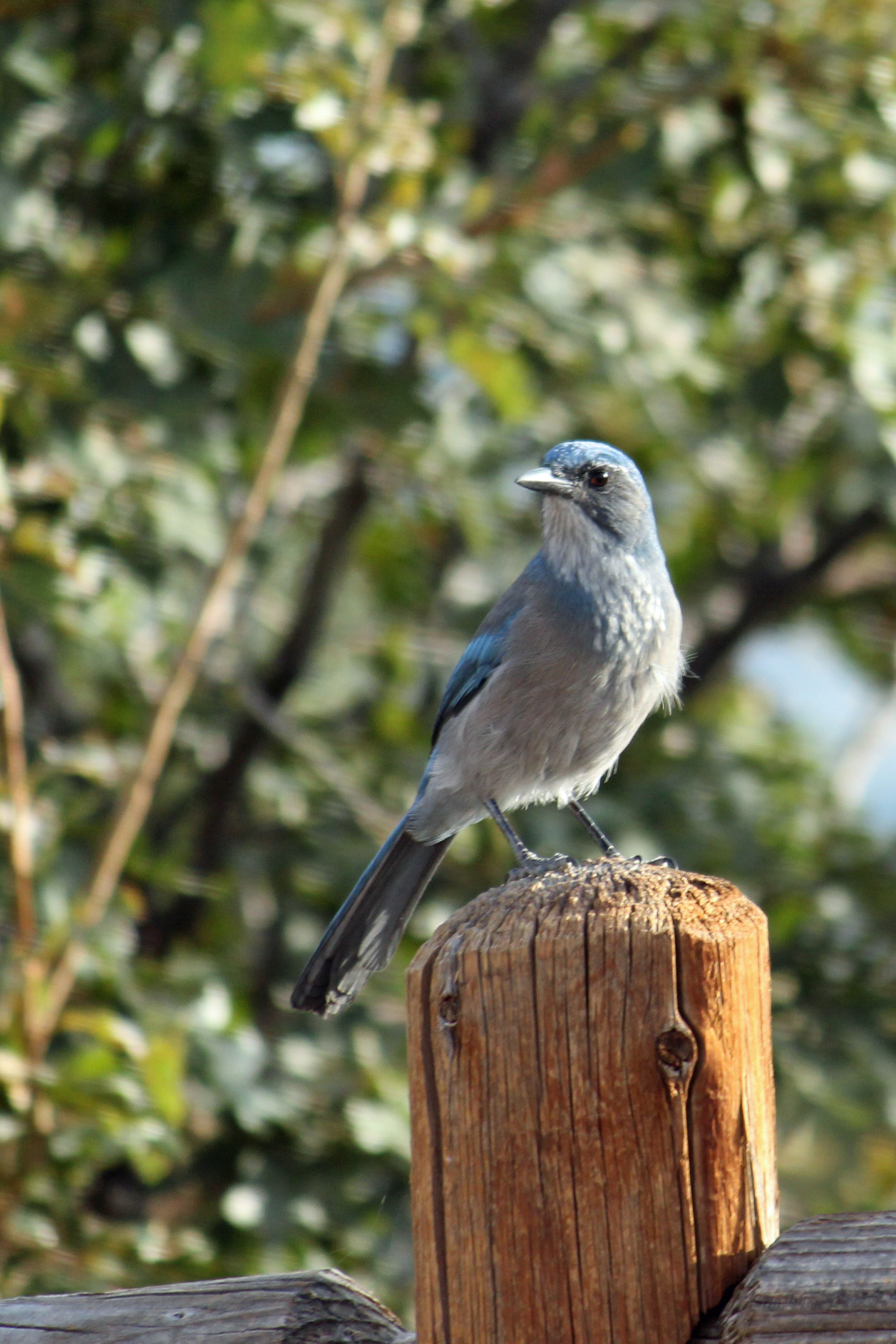
I spent time trying to get pictures of the local wildlife, which consisted of several kinds of squirrels and chipmunks, large grey and white Clark’s nuthatches and the elusive Steller’s Jay. The one I caught on camera in Cheyenne Mountain was actually a Scrub Jay. As you can see by the pictures, I think I did pretty well with the wildlife. I have to say that the money shot for the elk was the bull I caught in the stream. Was kinda ho-hum after spotting that guy.

Rocky Mountains (48)

Mountain bluebird

Rocky Mountain Day 2 (41)

Steller’s jay

Rocky Mountains (38)

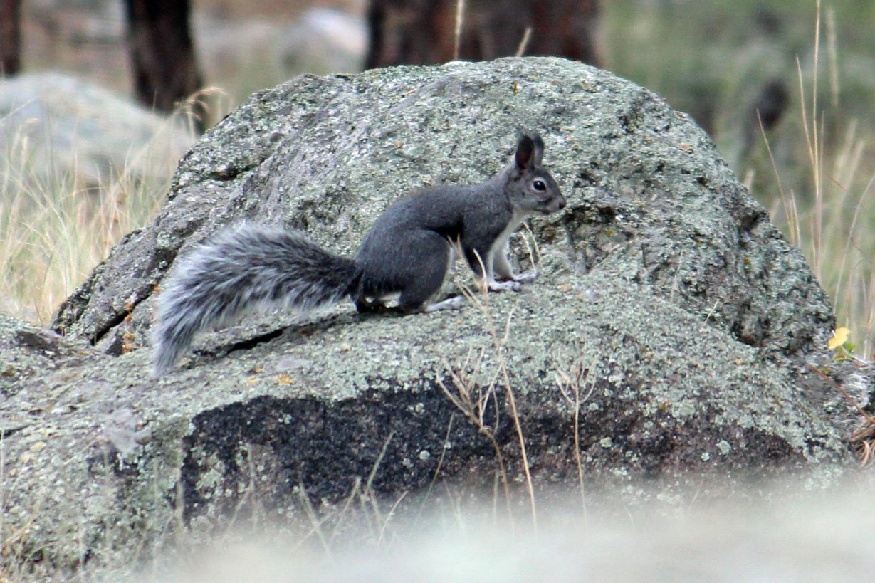
Abert squirrel

Rocky Mountain Day 2 (49)

Clark’s nuthatch

Rocky Mountain Day 2 (23)

Mule deer buck

Rocky Mountain Day 2 (47)

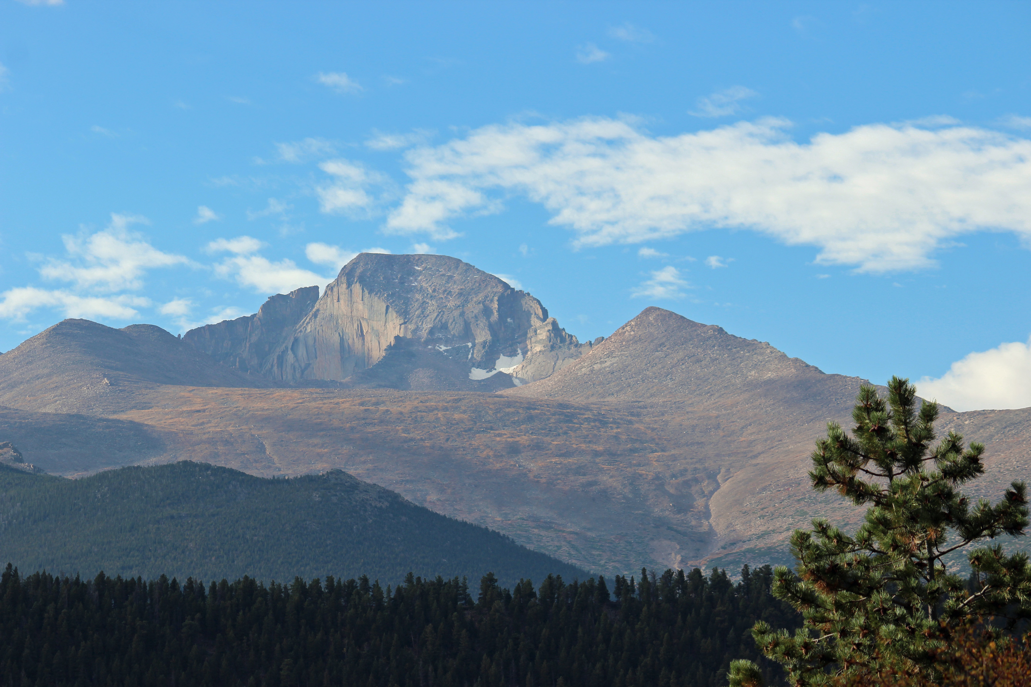
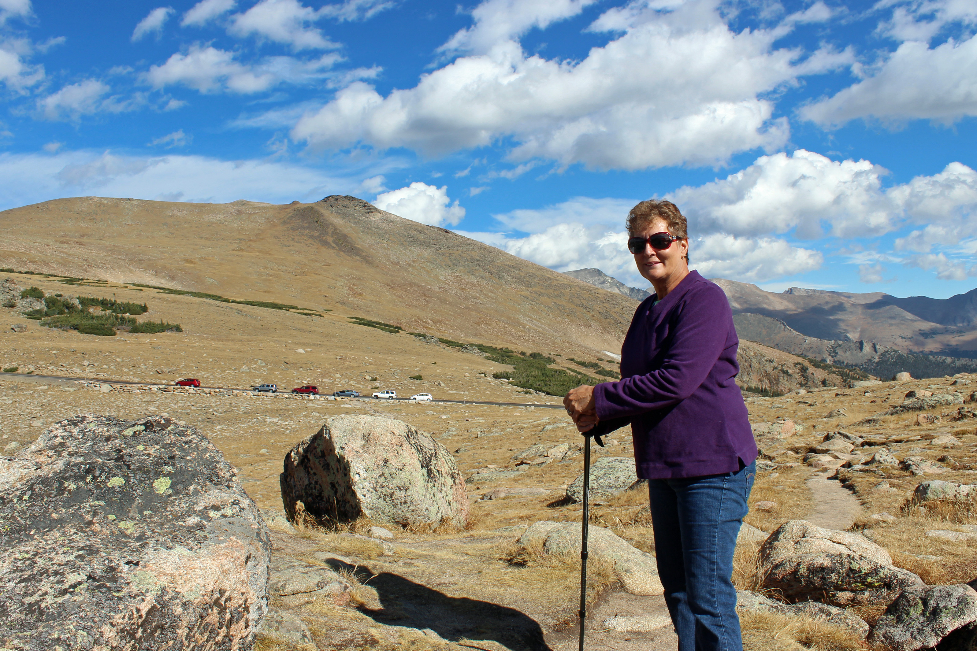
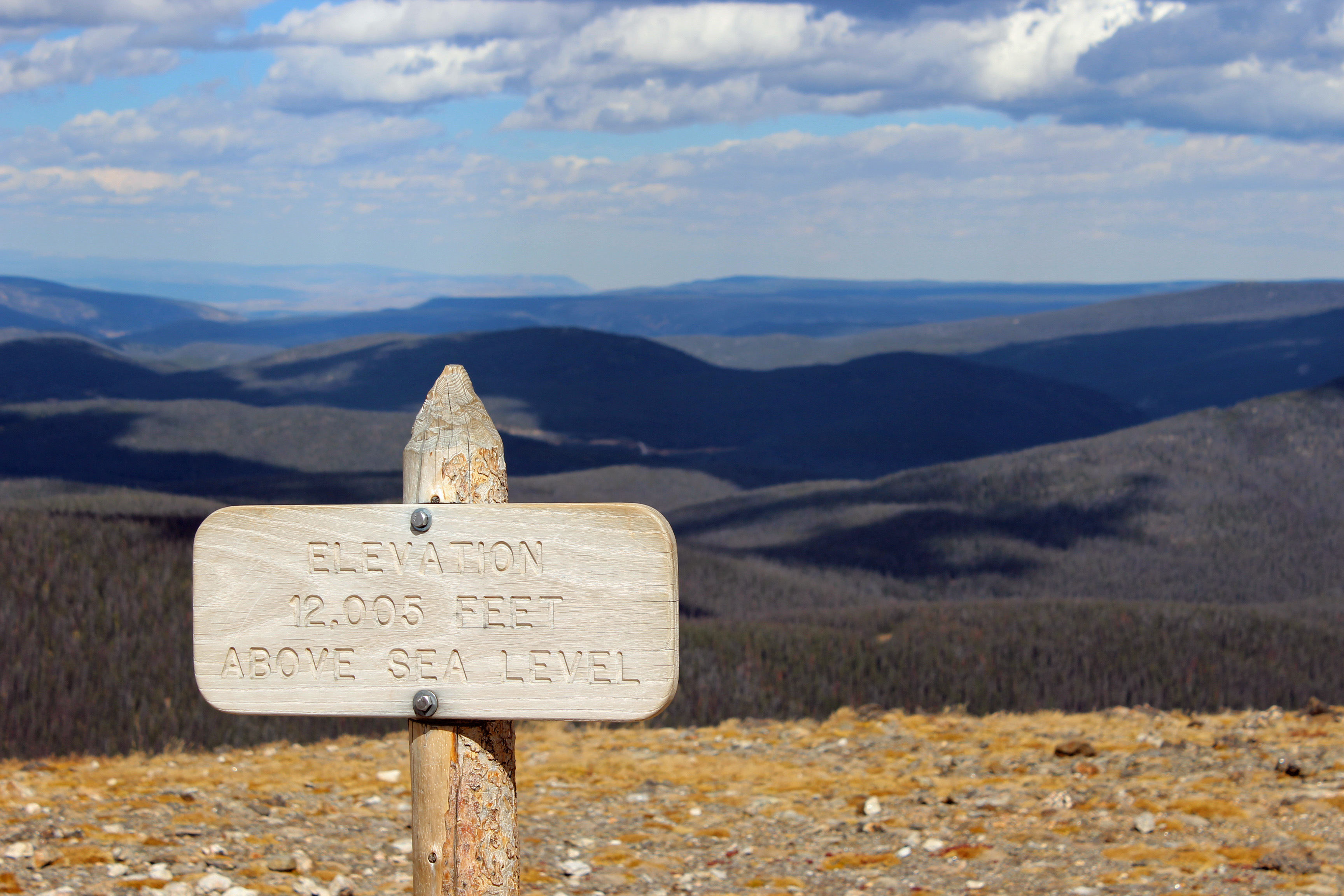
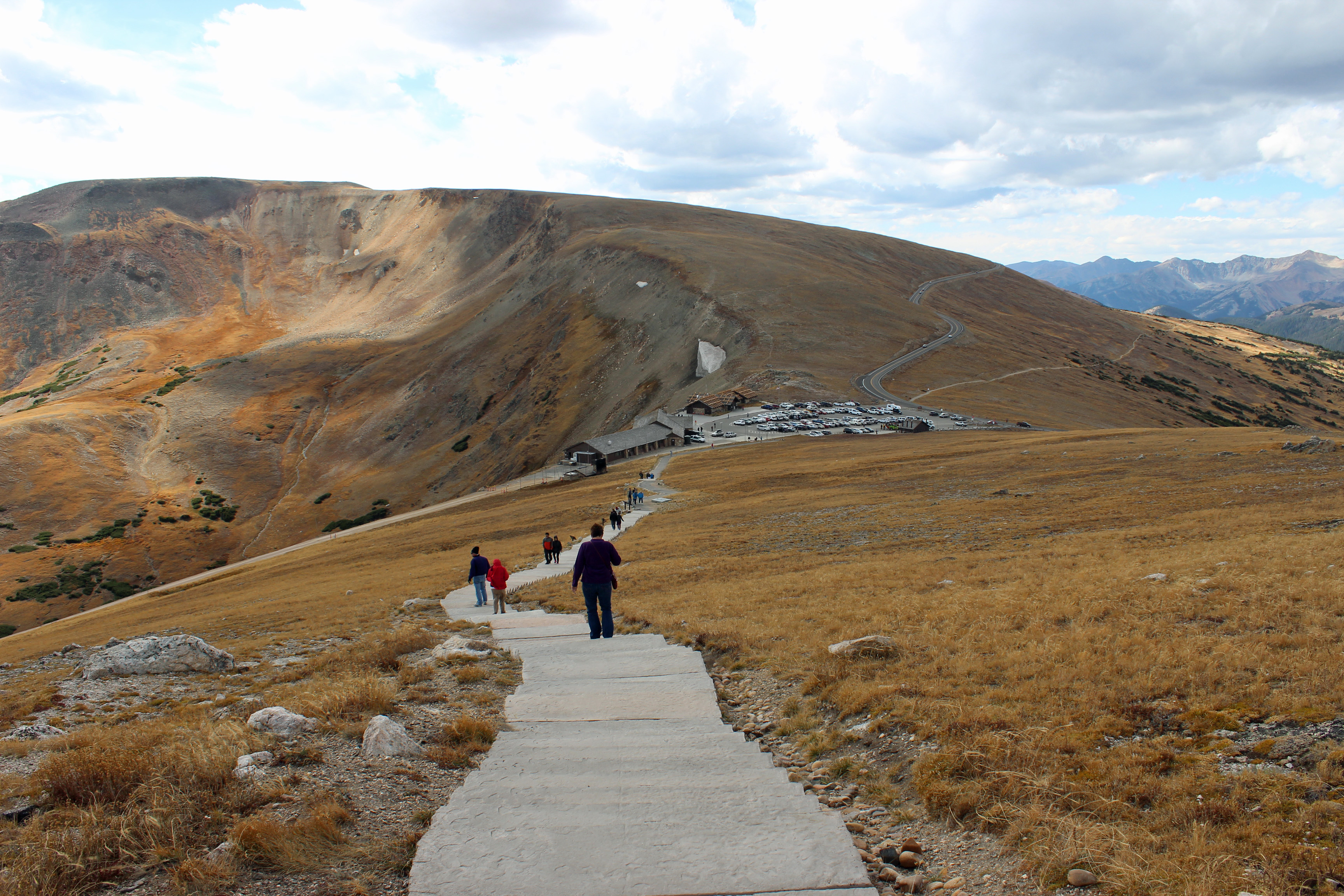
We decided to only drive the car up Trail Ridge Road, rather than leave the park that way with the motorhome. Good decision. The day we went up to the Alpine Visitor’s Center it was clear and sunny and an awe-inspiring drive. But it went to 12,700 feet from our camp elevation of 7,500 feet, not something I really wanted to do in the motorhome. We hiked across the tundra on a few trails, but the cold wind and the altitude do a number on you, no matter how much in shape you are. The majesty of the mountains and the vistas just took your breath away anyhow.

A thunderstorm rolled through the night before we left. In the morning the temperature was 32 degrees and snow had fallen in the higher altitudes. They are shutting off the water in the restrooms Oct. 5, so I guess freezing temperatures are to be expected soon.

The Morraine Park Campground has some great campsites, a lot of them are for tents. There is no water at campsites and no electric, so you have to be prepared. We were down to the last of our onboard water, but the propane was fine for cooking and the fridge; we ran the generator just long enough to heat up in the morning or just before bed at night.

Back to today’s trip. We did spot a group of Bighorn sheep as we drove west, all females and it was too quick to get a picture. But no moose in the Rockies just yet. Maybe the most exciting part of the drive was through Glenwood Canyon, where the road divides into an upper and lower level to make it through the pass. However, construction had everyone on the same 2-lane roadway, one lane each way. But it was fun, and the canyon walls were just gorgeous.

The state park site tonight has full hookups, so we are charging everything we can, doing a load of laundry and filling the water tank in preparation for Devil’s Garden in Arches National Park. We should be there tomorrow night.

Cheers!

Categories: Uncategorized | Tags: , , , , , , , , | 3 Comments

One Week Down!

Hard to believe it has only been a week since we started on this adventure. This part of the trip is a little bit “off the grid” as we don’t always have easy access to WiFi in camp, nor do I expect to have it in Rocky Mountain National Park.  (Did I just see Bear Grylls??)  I hope folks are enjoying the updates and pictures, although I hear grumblings from my family that we might be overdoing it on the microbrewery samplings. We really aren’t big beer drinkers, but there are so many more craft breweries than we are used to back in Georgia, it just is fun to try a flight and sample some really good brews. And their food selections are pretty unique, too.

Colorado Springs Day 2 (94)

Mountain dog Benji

Time for some shout-outs for family birthdays: Happy Birthday to Courtney and Craig!

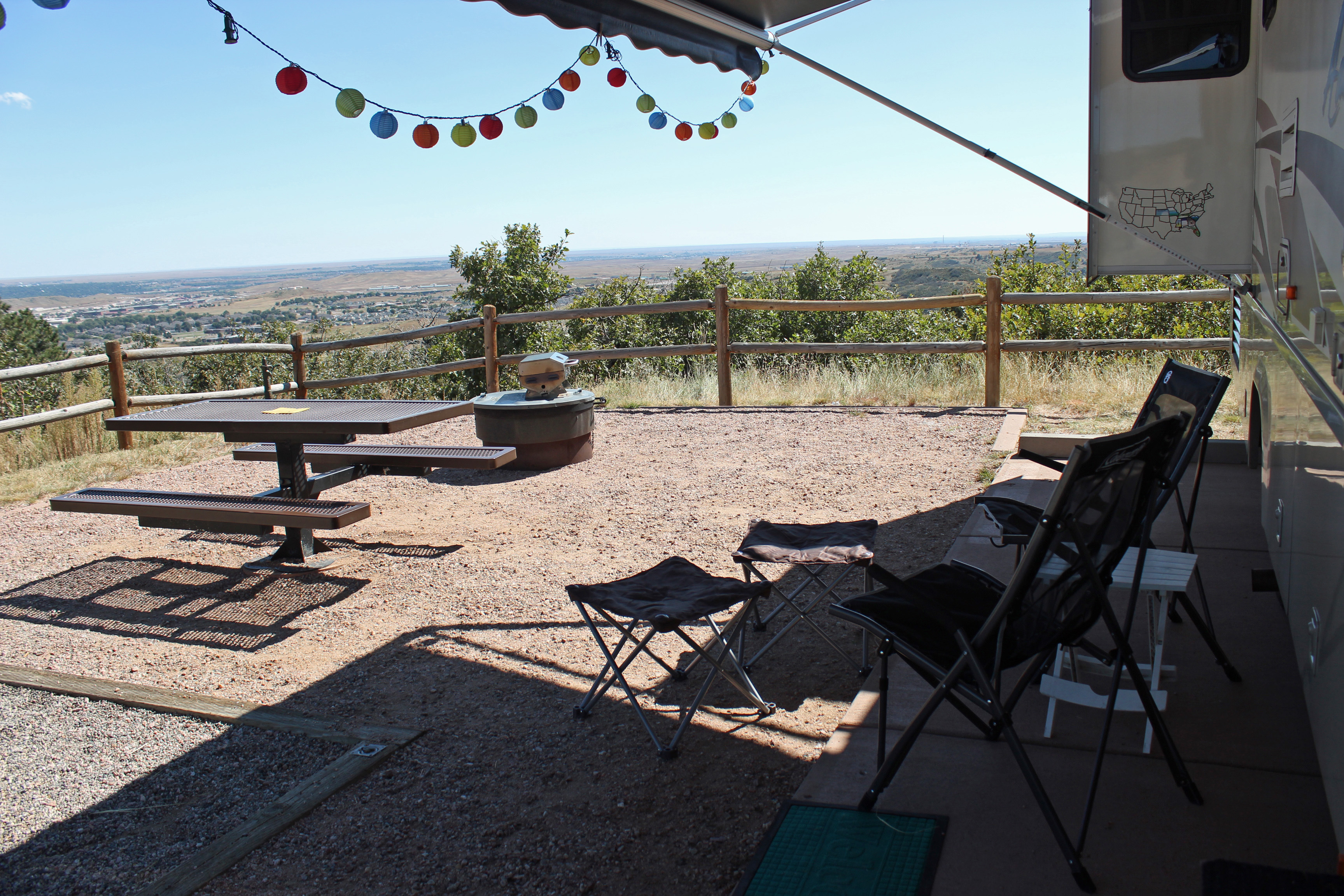
So we arrived at noon at Cheyenne Mountain State Park at the base of the mountain that houses the NORAD underground complex. Beautiful state park with very nice campsites that are level, partially paved with a gravel tent pad. We look out on the valley across lower Colorado Springs and Fort Carson (and yes, we hear taps each day).

Looking out over the prairie

Looking out over the prairie

We made camp and quickly headed out to two important spots: US Air Force Academy and the US Olympic Training Center. The Air Force has an amazing campus and with a great location. The chapel is a must-see structure that has this beautiful stained glass glow inside. Very inspirational. It was a quiet Sunday afternoon on campus.

Colorado Springs Day 2 (54)

Chapel

Colorado Springs Day 2 (52)

Stained glass inside chapel

Colorado Springs Day 2 (53)

Chapel

Colorado Springs Day 2 (31)

Jackie Wins Gold!

Colorado Springs Day 2 (37)

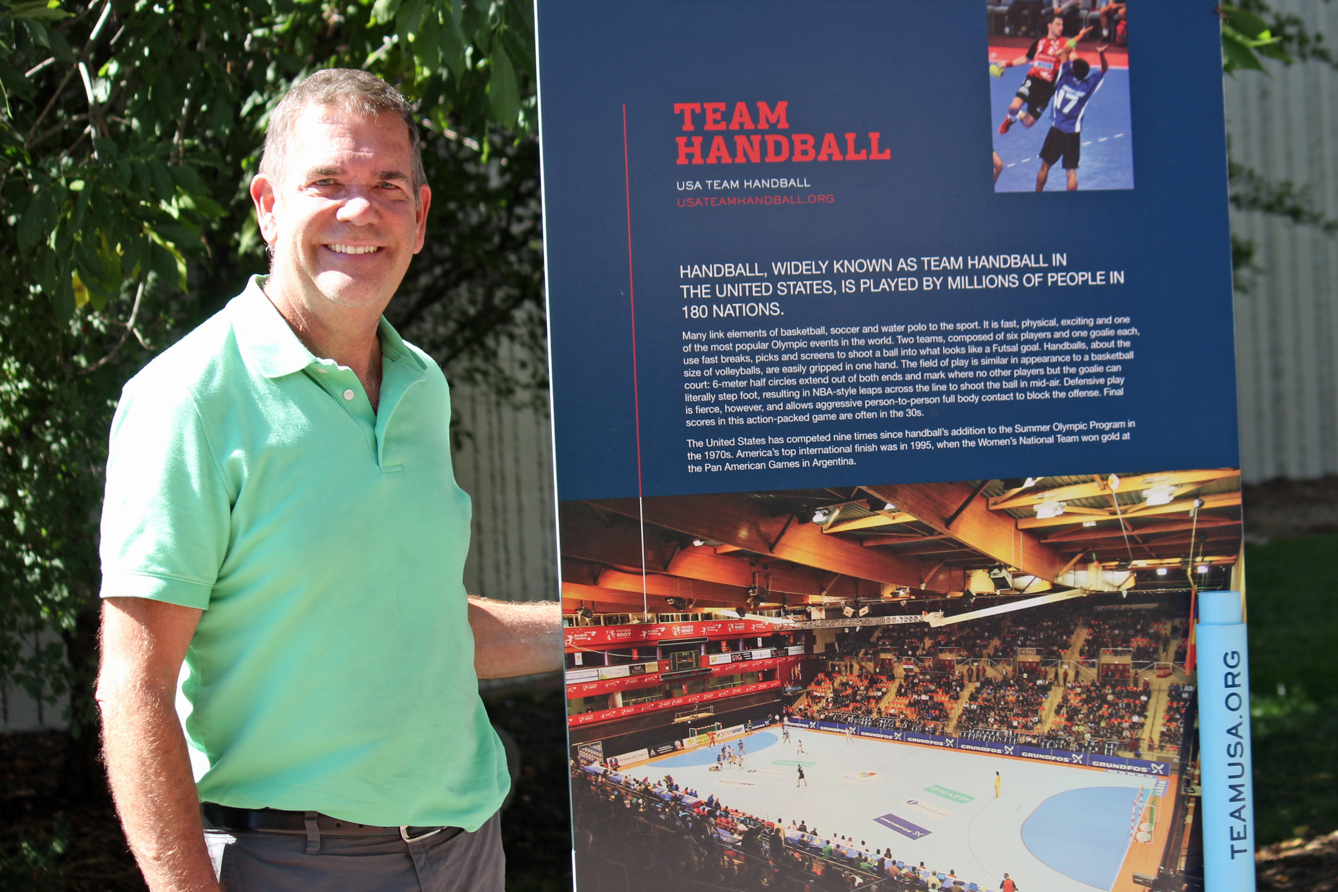
Team Handball Men’s VP

Back in town we found the USOTC where about 16 years ago (has it been that long?) I spent some time with the US Men’s National Team for team handball. Sometimes a combination of van driver and chaperone during training and then sidelines statistician and assistant during games. I was also manager for the Pan Am Championships at a time when relations with Cuba were still tricky and their “coaches” were definitely watching for defections. Cuba had a strong handball team and was always pretty dominant when they competed.

I showed Jackie around the training center, but much has changed since I was there. The dorms and cafeteria have been upgraded and several of the sports train at locations off-site. But there was excitement building for the summer games in Brazil.

Cheyenne Mountain has been fun for spotting some new wildlife. We watched some prairie dogs along the entrance road, scurrying in and out of their burrows. Birds in the area that catch your attention are the Scrub Jay and Black-billed Magpie.

Colorado Springs Day 2 (91)

Scrub Jay

Colorado Springs Day 2 (72)

Mule Deer fawn

Colorado Springs Day 2 (69)

Look out Benji!

Colorado Springs Day 2 (24)

Prairie dog

Magpie

Black-billed Magpie (even cooler in flight)

Colorado Springs Day 2 (77)

Jackalope?

We were walking Benji around camp after dinner and suddenly came up to a group of three mule deer – a doe and two fawns from this year. They were curious about Benji, but he was definitely NOT interested in them and was pulling at the leash to get out of there. We watched them stroll through the camp without a care. On our trip to Garden of the Gods we saw another trio bounding through town along the interstate. Since the males are in rut, there is a lot of movement of the large hooved critters all through the area. Saw a report of a bull Elk butting a car in Estes Park (and left some pretty big holes in the side of it).

Colorado Springs Day 2 (80) Colorado Springs Day 2 (85)

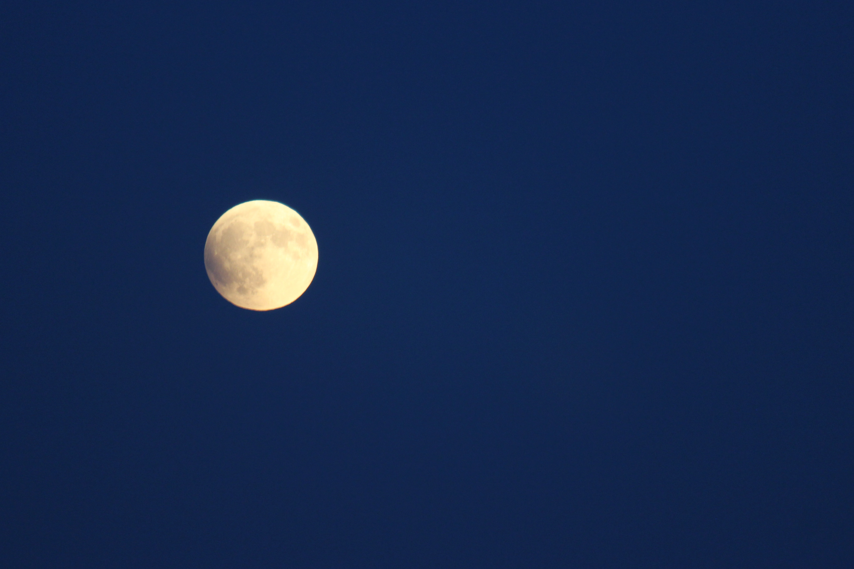
We also had a great view of the eclipse and blood moon, even though catching it with the camera was not too successful. I will post what I shot, but the best part was actually during the total eclipse when the moon really did look a dark orange/amber color.

Colorado Springs Day 2 (125)

Colorado Springs Day 2 (117)

Colorado Springs Day 2 (115)

Colorado Springs Day 2 (106)

Colorado Springs Day 2 (137)

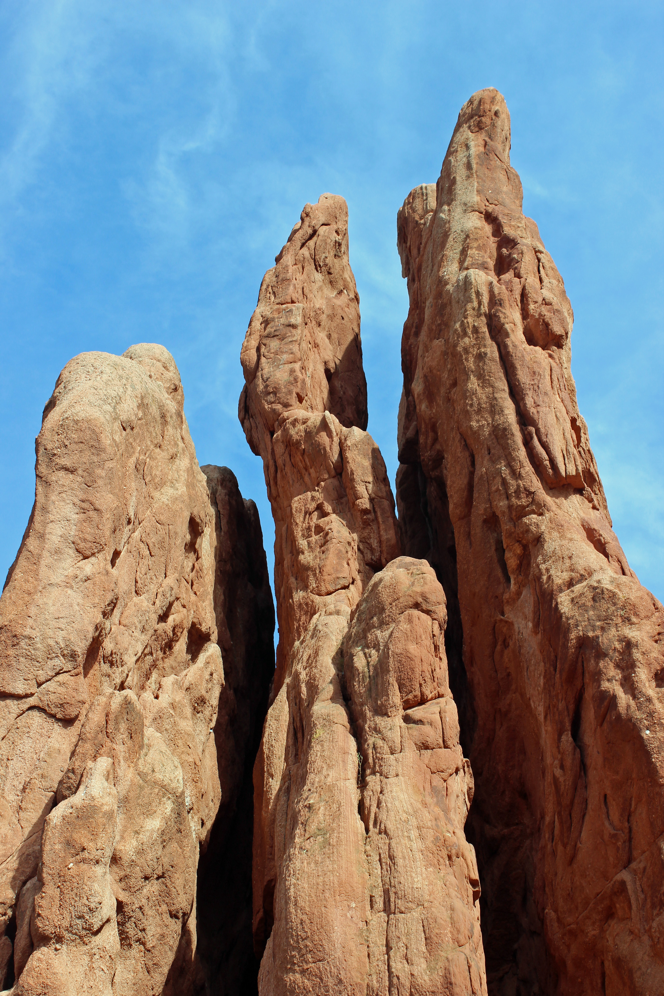
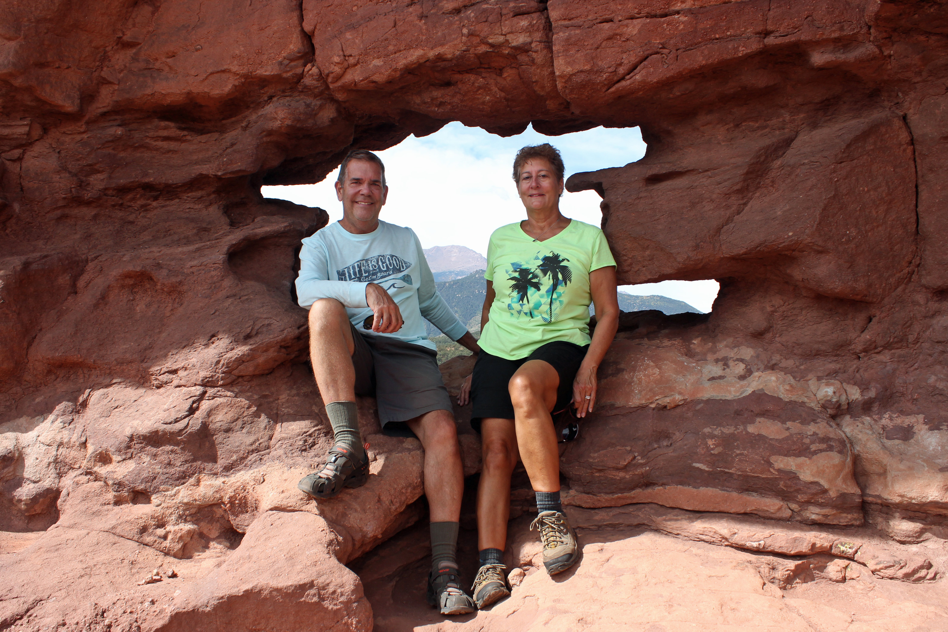
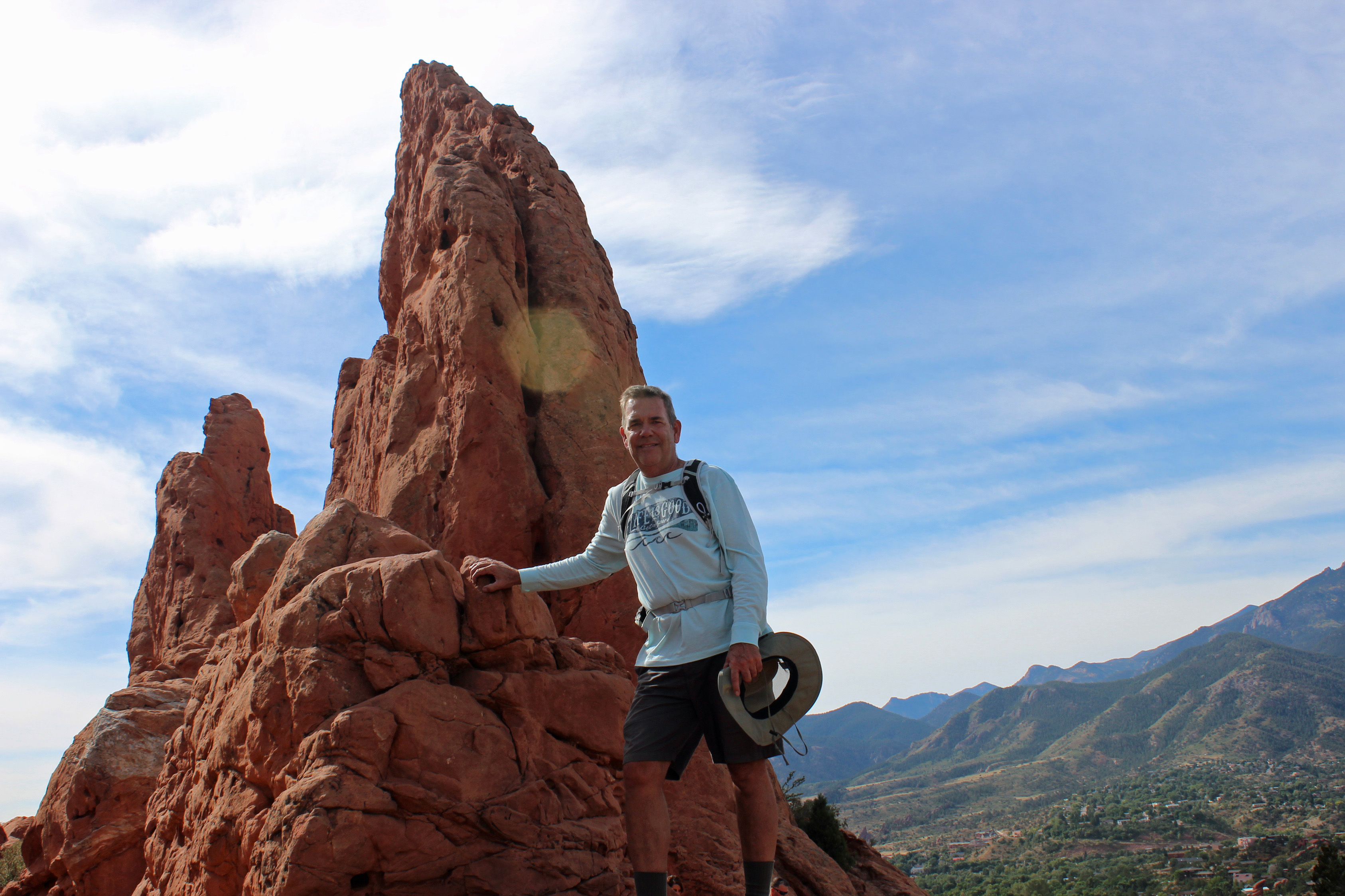
Next day we combined Garden of the Gods and Manitou Springs, all at the base of Pikes Peak. Garden of the Gods was darn busy, but not surprising since there is an easy, paved trail through the main portion of the park. There are great sightlines all around the park, where the rock formations are just incredible. One hike up to the Siamese Twins was a good workout. At that spot a line of horseback riders was making their way up over the rocks and around us. Pretty cool.

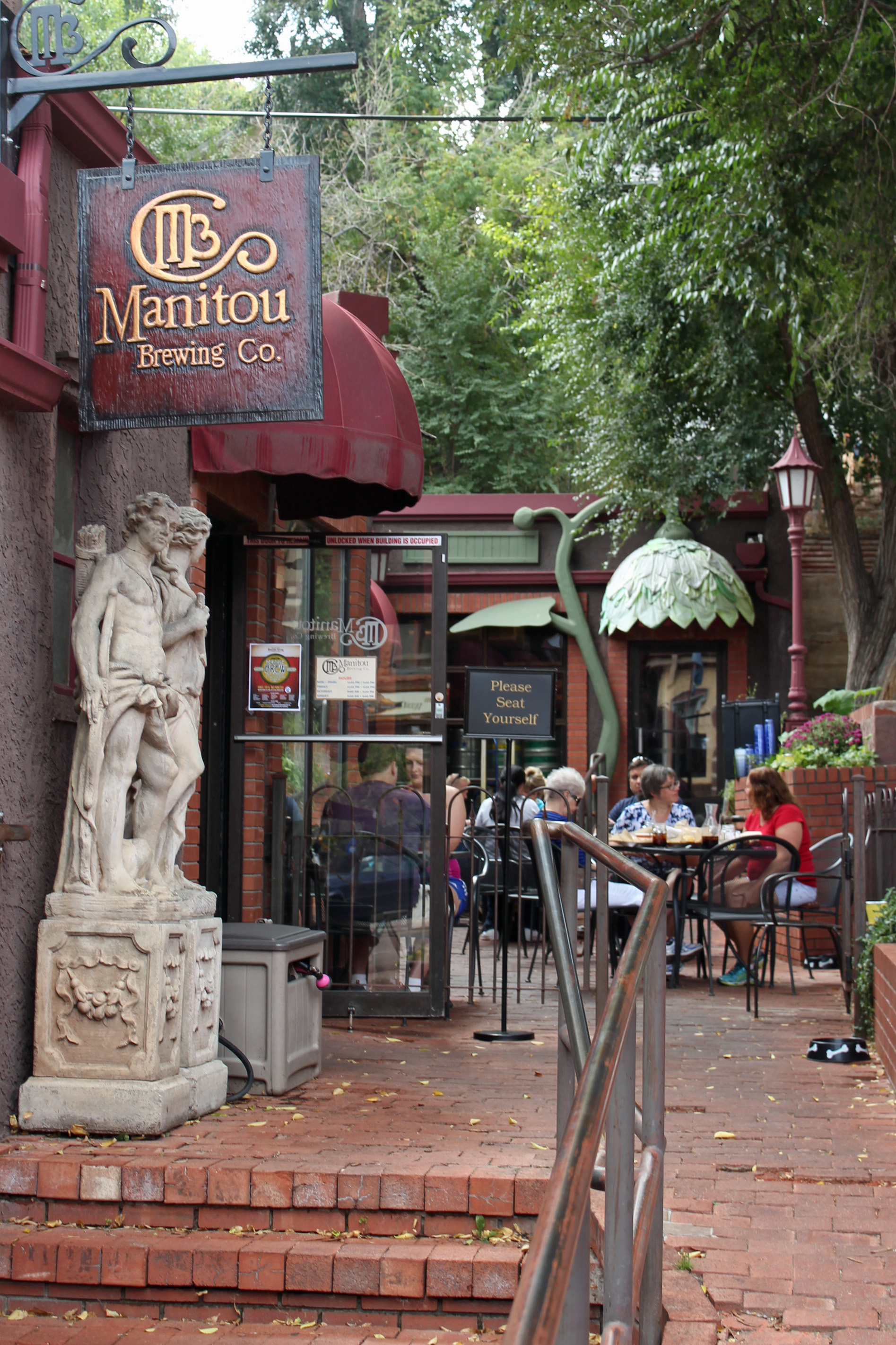
Manitou Brewery

Colorado Springs Day 2 (140)

Lunch was in Manitou Springs (you guessed it, another craft beer brewery) – a town that is quite the gift shop mecca, but you still get a sense of the heady days of Gold Rush fever. We wound our way up to Cave of the Winds for a hike through the cave and all the formations of stalagmites and stalactites.   Barb and Tara would appreciate that there was no belly-sliding and nobody whacked their heads, although the total darkness moments really were weird. Returned down the mountain and back to camp for a change in the weather. A front blew through (and I mean rockin’ the van type blowin) to leave us with cooler weather and some overcast skies today.

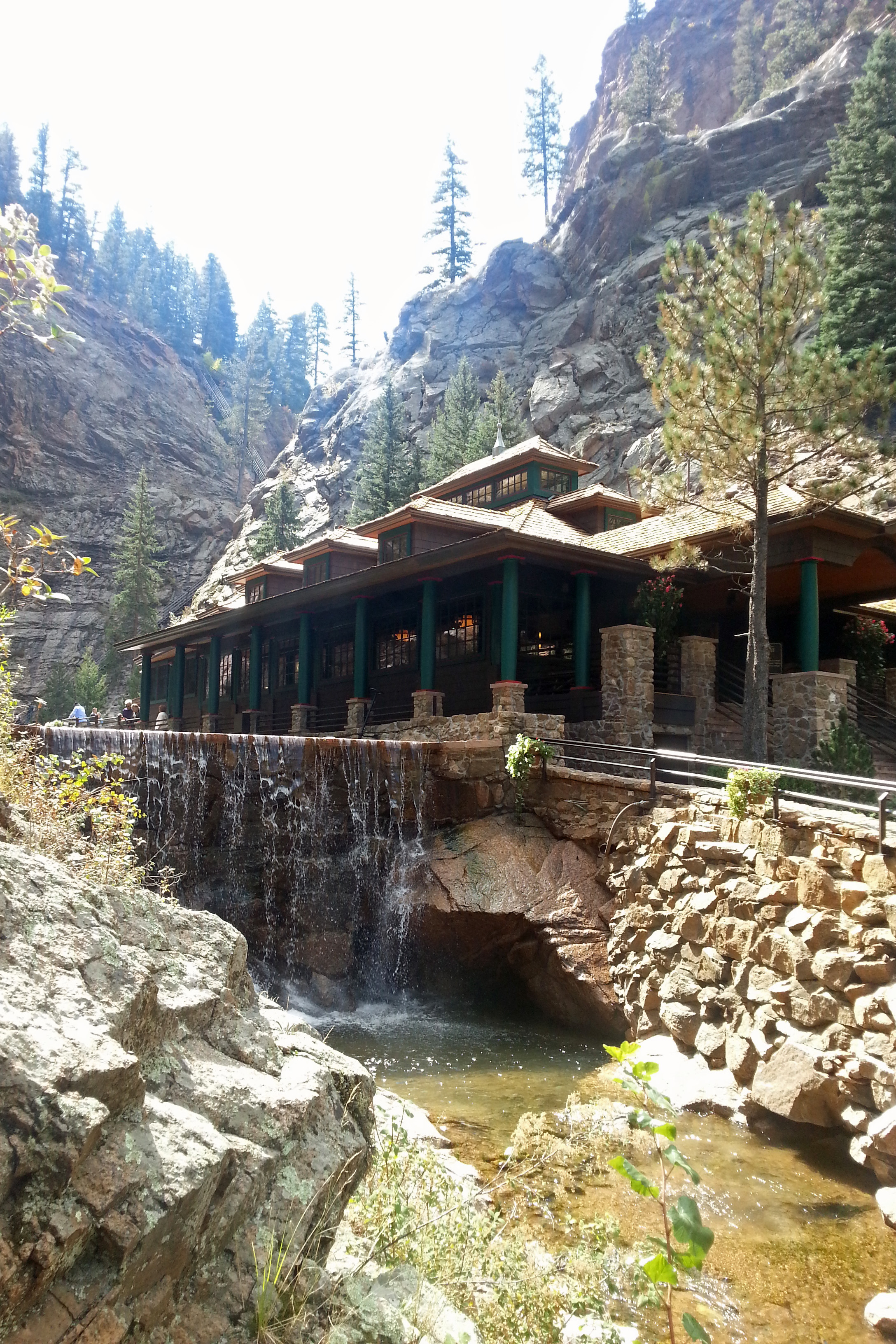
Seven Falls Restaurant

Rainbow trout

Broadmoor (37)

Broadmoor (32)

Broadmoor (33)

Broadmoor (10)

Broadmoor (11)

Broadmoor (38)

Broadmoor (30)

Broadmoor (29)

Broadmoor (15)

Broadmoor (53)

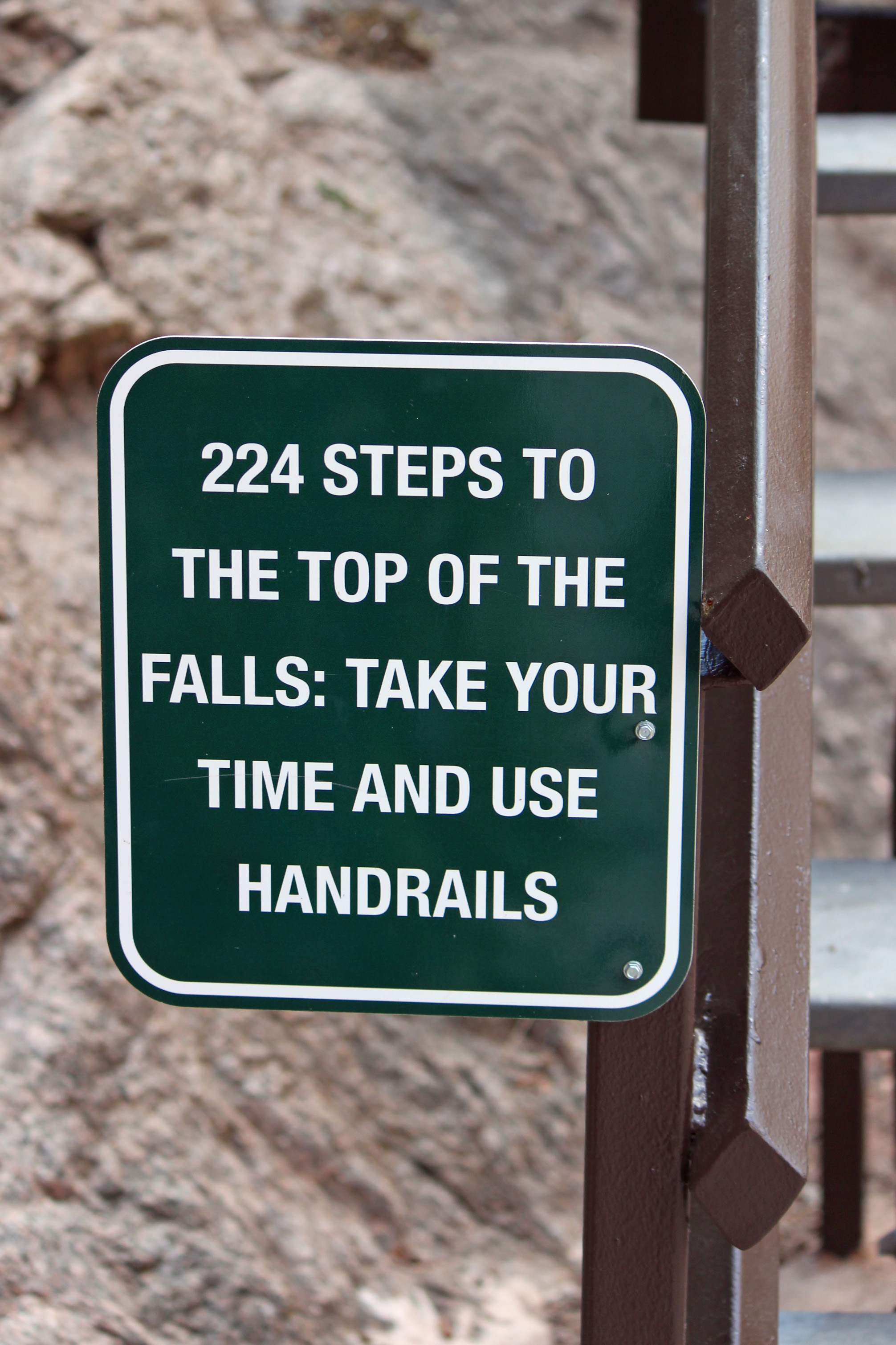
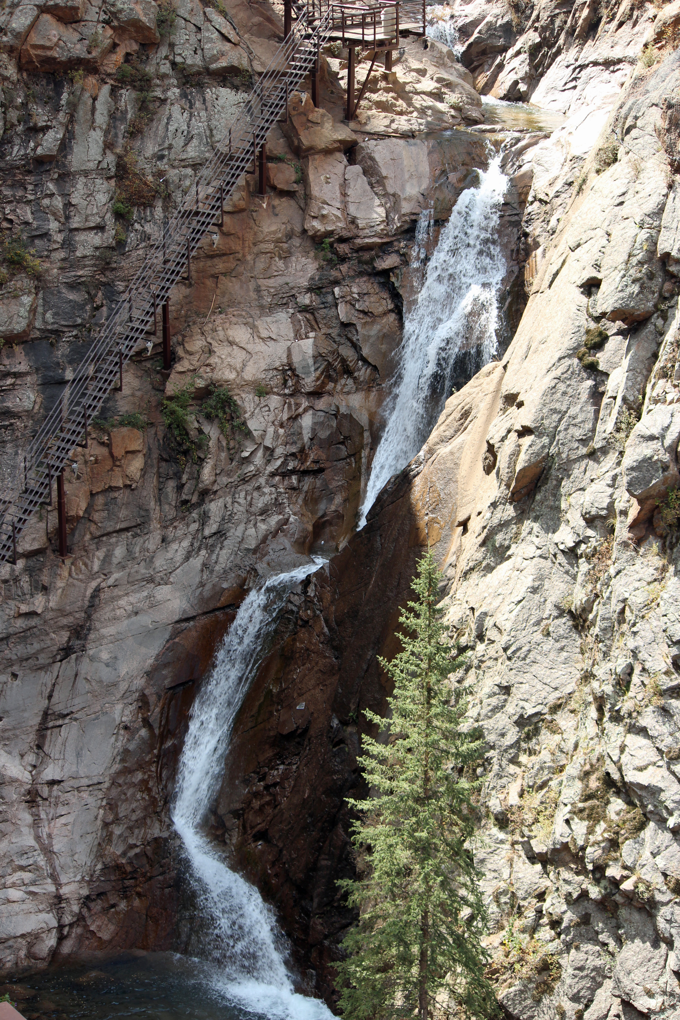
Today (Tuesday) we spent the morning at the Broadmoor Hotel and Seven Falls. The falls are a narrow gorge that is really beautiful. The creek that runs through it overflowed pretty bad in 2014 (14” inches of rain in an hour), so the owners sold to Broadmoor and it was redone and reopened. Gorgeously done and crystal clear water. After a mile walk in, we climbed the stairs to the top of the falls for a great view. We skipped another set of stairs that led to a viewing area and instead took the elevator, but it was plenty of exercise, even just going down the steps. Note to self: remember to always carry both camera lenses and bring the selfie stick.

We need to do laundry today and stock up on a few more provisions before we head out tomorrow to Estes Park. That one is going to be a long haul and we will need to get an early start. Showers and storms are predicted for tonight, so we want to secure everything in camp and get as packed as possible.

It seems that something with the convection/microwave oven isn’t quite right and not sure I can resolve this. No heat from the microwave and the convection oven stops every two minutes or so. Checked all the circuits, tried to troubleshoot, but we may be down to the propane grill outside and LP range/oven inside. Jackie used the oven last night, so that at least works. Not sure why the microwave decided to quit.

Off to Rocky Mountain National Park then….

Categories: Uncategorized | Tags: , , , , , , , , , , | Leave a comment

Base of the Rockies

Traveling across the rest of Kansas and into Colorado across the prairie plains, it was amazingly wide open, mostly flat landscape. We saw our first pronghorn as the Rockies started to appear on the horizon. More wind farms of dozens of huge wind turbines along the way. The closer we got to Colorado Springs, the bigger the mountains. Pikes Peak is hard to miss. We have stayed two nights at a cozy little RV park in Falcon. Our site looks out across a huge meadow with Pikes Peak in the background. This morning we looked out to see a herd of pronghorn. Since we are in rut season, the males were zipping around herding the females. Way cool.

Pronghorn watching his herd

Pronghorn watching his herd

Last night we went into the Springs to check out yet more micro breweries (yes, it does seem like a theme at this point) and had dinner at the Ritz Grill. What a nice town, very walkable, dog and bicycle friendly and the sunny weather has a nice cool edge to it. Breweries we sampled included Phantom Canyon, Fieldhouse, and Gold Camp.

Phantom Brewery

Phantom Brewery

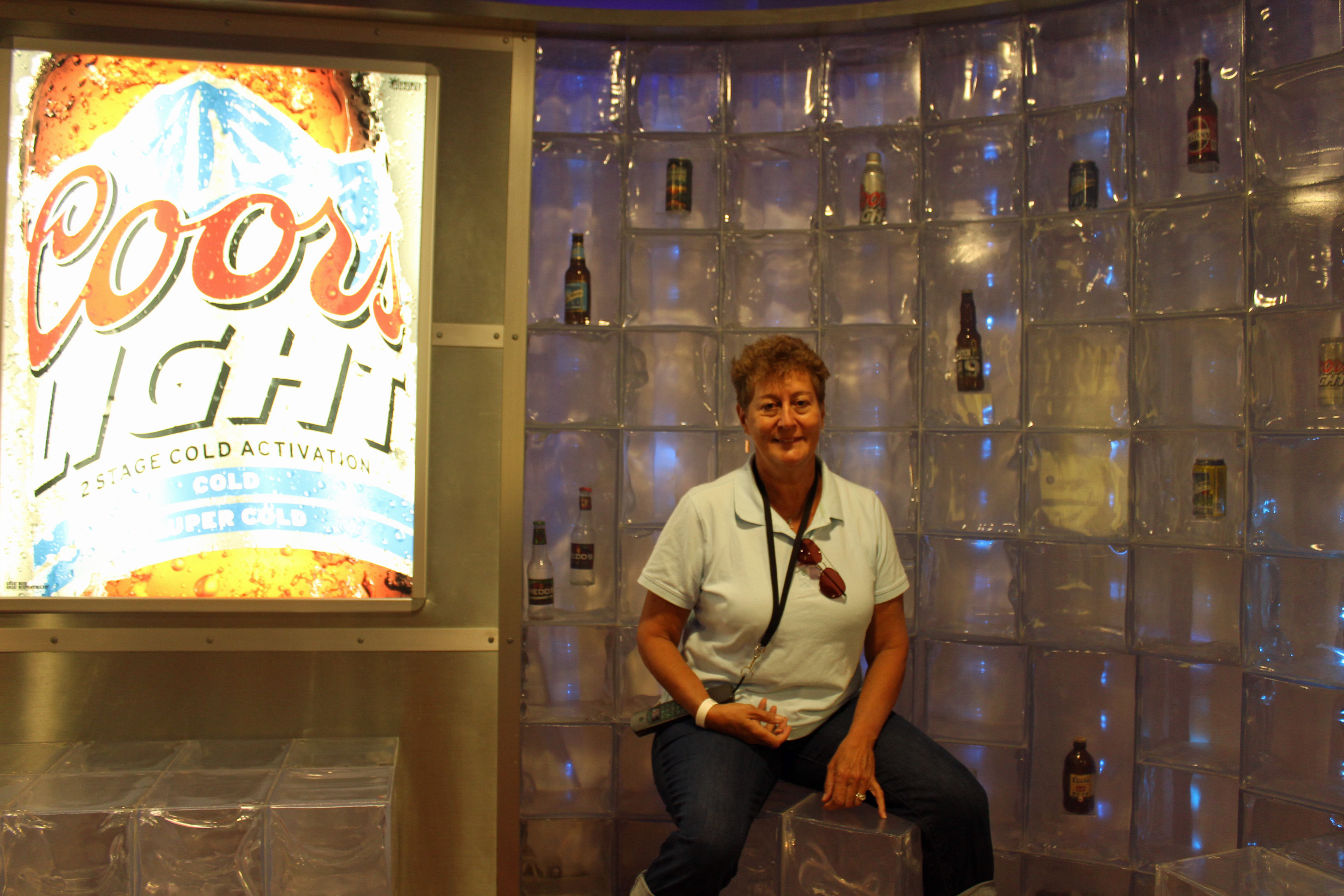
Today we tried our best to get to Golden early, but two accident backups on the interstates slowed us down and we waited almost an hour to start the tour at Coors due to the Saturday crowd. Truth be told, we kinda zipped along the self-guided tour of the plant to get to the sampling room. Oh yeah!

Here's to you!

Here’s to you!

Ice cold

Ice cold

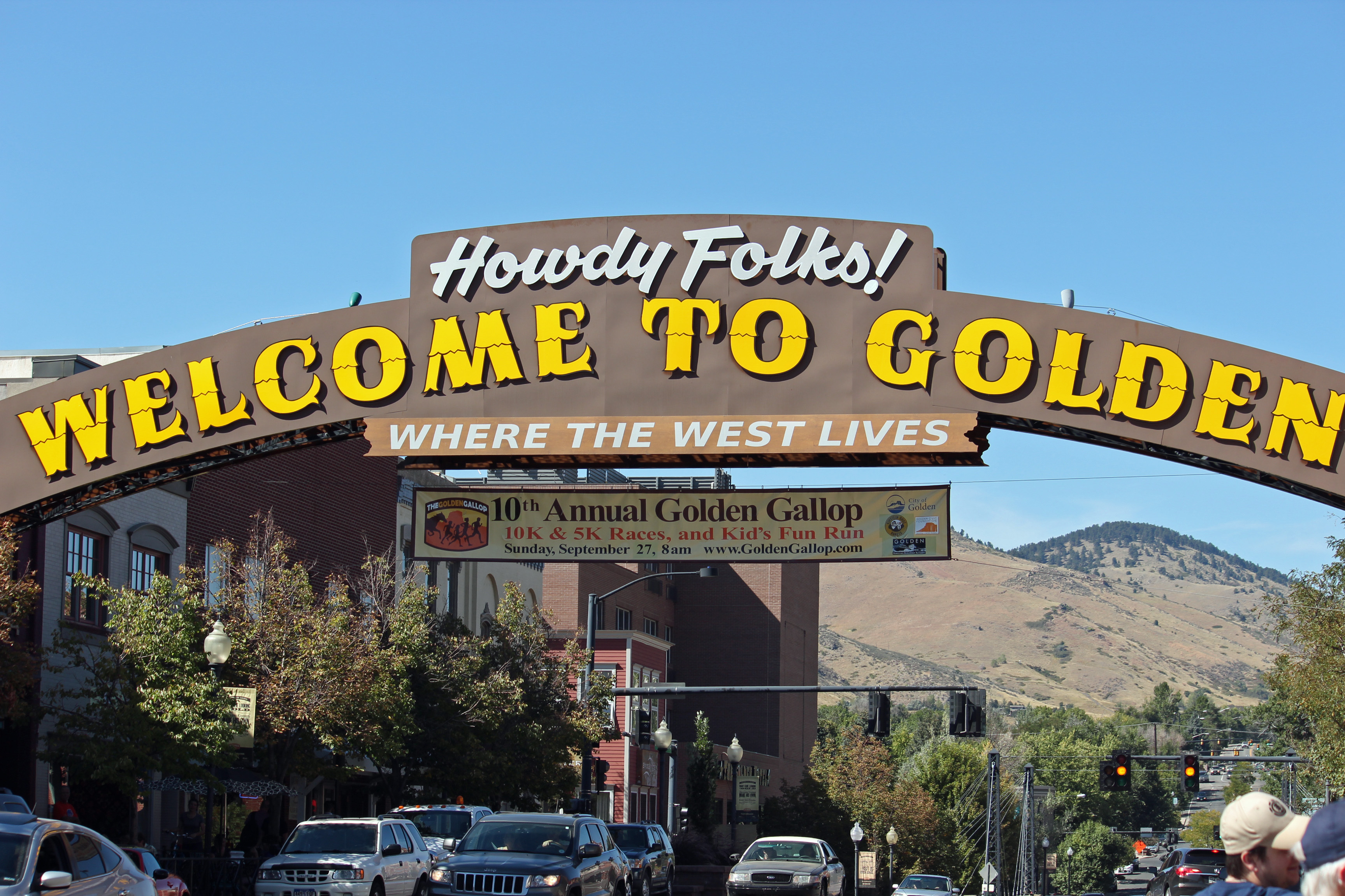
Responsible sampling of course, but some nice flavors. Then we walked around Golden to find Mountain Toad Brewery and found their beer very refreshing. Golden is yet again a small, friendly, walkable town with a lot of charm.

Welcome to Golden

Welcome to Golden

Streetside

Streetside

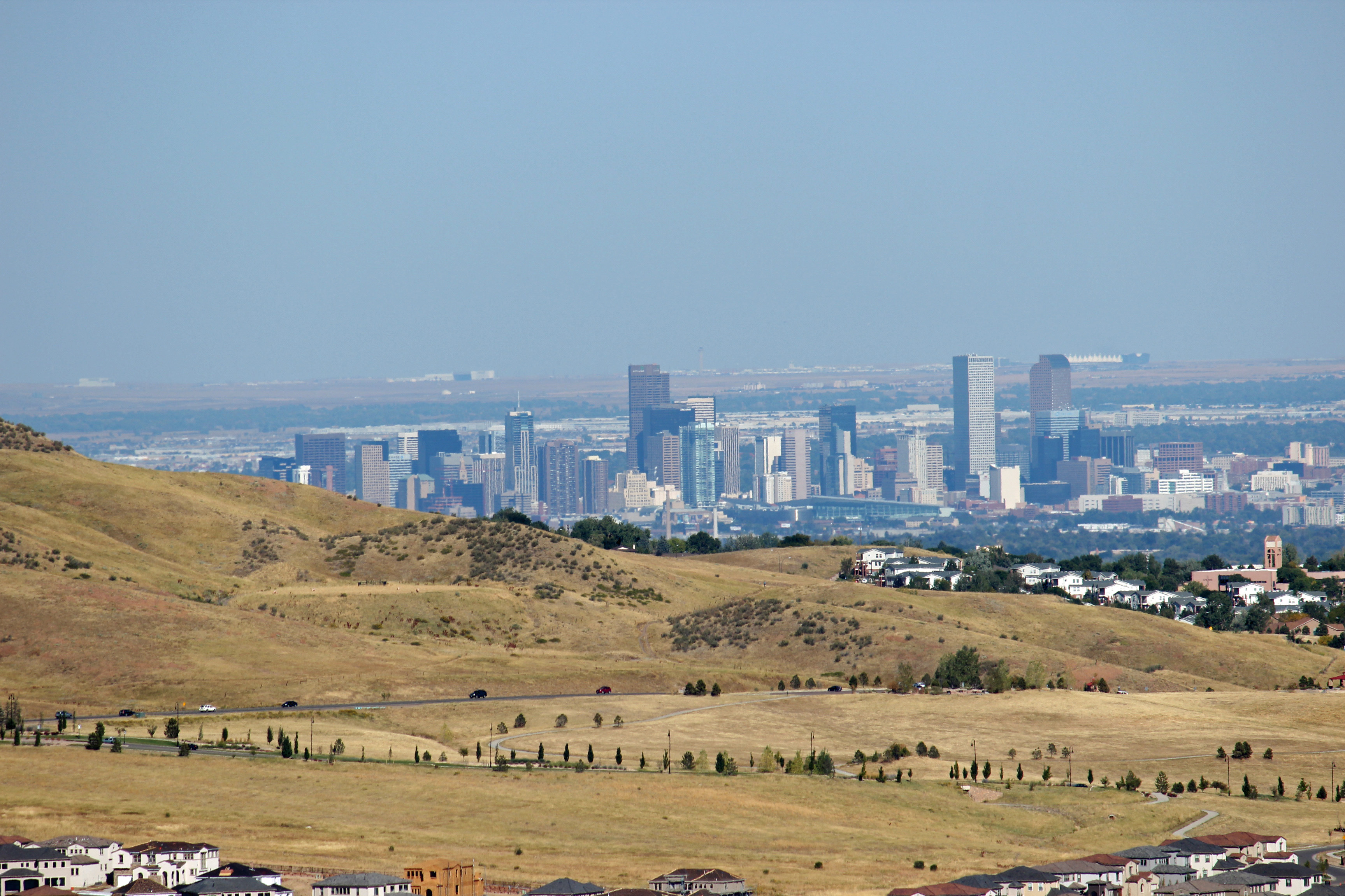
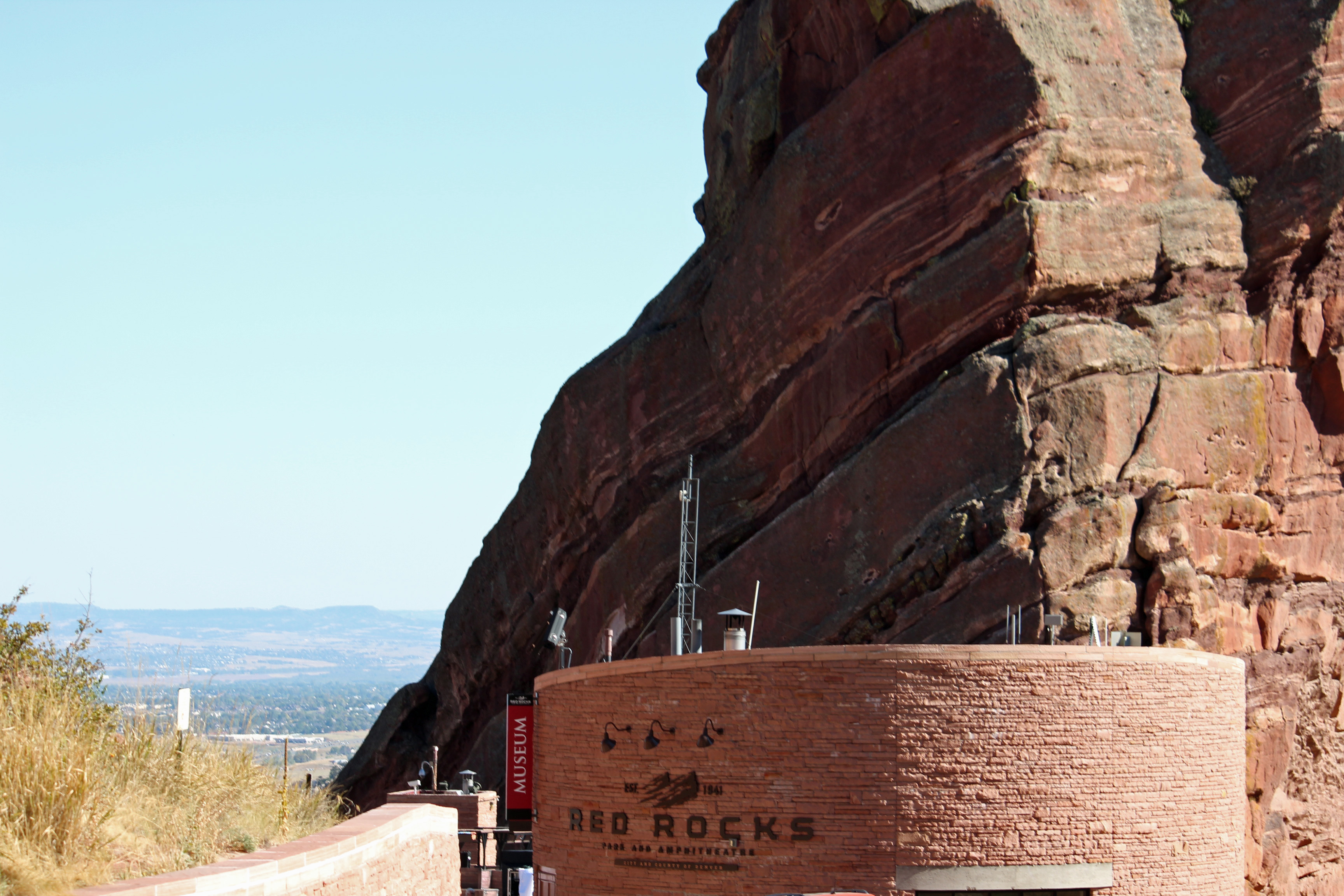
On the way out of town we had just enough time to check out Red Rocks Amphitheater, only to find it was booked for an evening event, so we didn’t get down into the actual amphitheater to see it. We also only saw Denver from the mountain, so that will probably have to wait for another trip. So much to see.

Denver

Denver

Red Rocks

Red Rocks

Ok, story time once again. As I have said before, when you travel with an RV there are a lot of moving parts and systems to get straight. If you try to rush the departure or arrival too much, you miss a detail that might bite you. When we packed up in Goodland’s KOA, we added some water to the onboard tank. To do that, you flip the lever to City Tank Fill from City Fill. Once you add water you are supposed to flip the switch back to City Fill (which I have labeled city service, because “fill” confuses me). Sounds good, right?

Well, when we arrived in Falcon and hooked up water and electric, we thought all was well and went inside to have lunch. Benji needed to go out a bit later, so Jackie opens the door and says, “Uh, Doug, we have a problem.” Water was running out of the bottom of the RV and down out of our site. I rushed to shut off the supply and we opened the basement door to find the plastic bins of tools and such all overflowing with water. Arghhh! I had forgotten to flip the lever and we had overfilled the water tank onboard once again (happened in Florida also). Talk about feeling like a schmuck, it took me most of the day to dry everything out and get over blaming myself. Just another cautionary tale.

So each time we depart or arrive, I am pledging to take it slow and deliberate so we don’t miss anything critical.

Cheyenne Mountain is coming up tomorrow.

Categories: Uncategorized | Tags: , , , , , , , | Leave a comment

Blowin’ Across Kansas

Now, boys and girls, today’s word is WINDY. That is why we got buffeted around as we drove across the plains. It is also why the landscape was dotted with large wind turbines. There were several very large wind farms all through the area.  And it’s why we drove 8 hours yesterday and 6 today — moving through, fast as that famed tornado to OZ.

Wind farms in Kansas

Wind farms in Kansas

Time to get caught up with the blog, now that we have wifi. We are in Goodland, Kansas tonight, just shy of the Colorado border. One cool thing is we just crossed into Mountain Time Zone, so we gained another hour. Our trip from St. Louis was a long haul, but the weather was good, the road got better and straighter as we went West, so we kept on through Missouri, then through Kansas City and into Kansas. Missed the chance to have a nice steak dinner or KC barbeque, since we hit town around noon. Did see the Royals and Chiefs stadiums right from the interstate.

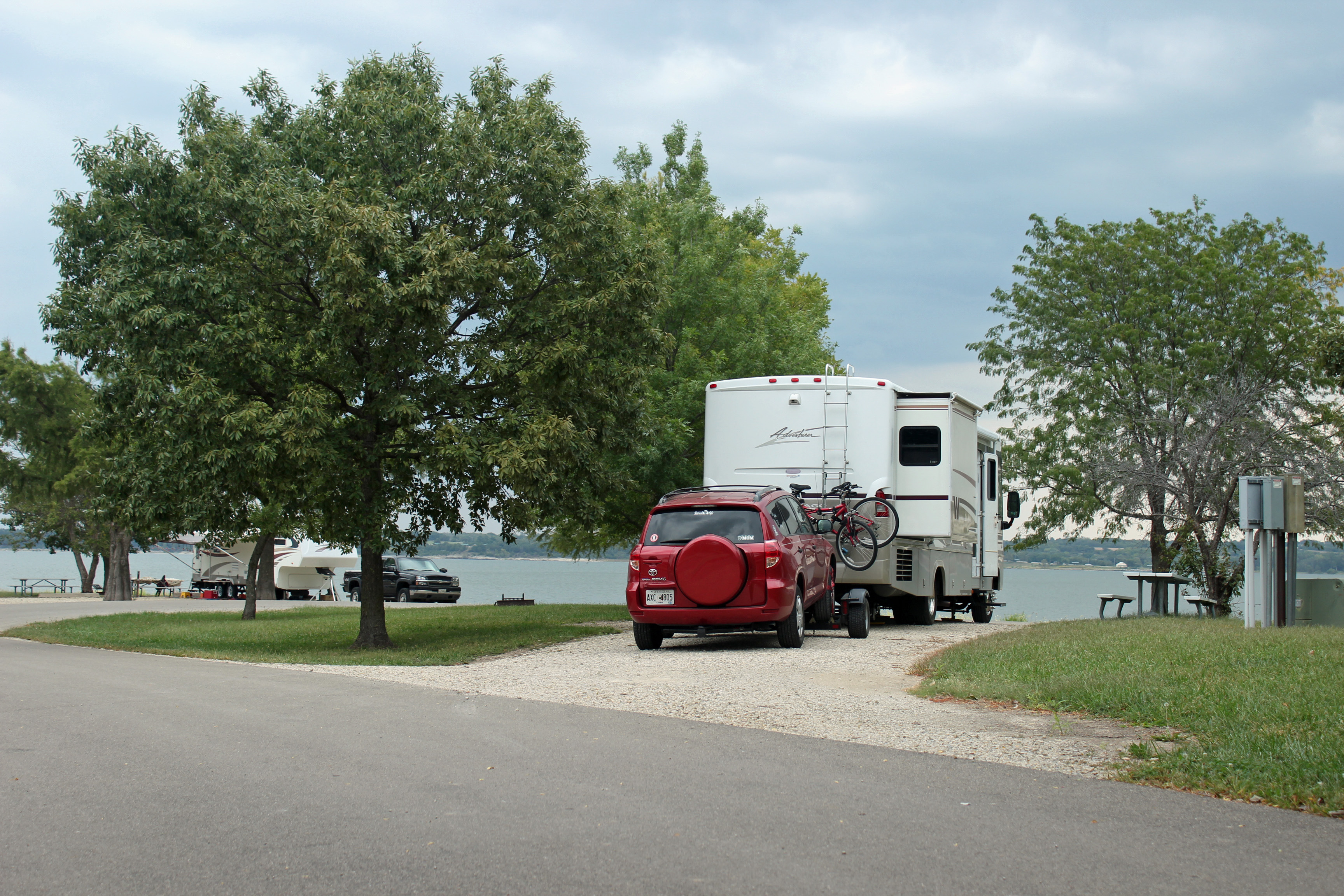
Kansas camping

Camping with a lakeside view

About 8 hours of driving and we reached Junction City and found a great campsite right on Milford Lake, the largest in Kansas. A Corps of Engineers campground, the campsite site was wonderful and we there were very few campers. Light rain as I started to grill dinner and again in the morning, but that let us wash off the windshield (see the bug splat report below).

We got an over-the-air TV station that had a news story you would only find here in Kansas. It seems that police were involved in a low speed chase of a combine. During the chase, the combine driver took out some traffic signs and smashed into a few cars with the front tines. Alcohol was suspected. Seriously, you can’t make this stuff up.

Kansas cornfield

Kansas cornfields

So this morning we left Junction City and drove only 6 hours to Goodland. The scenery is amazing and it is so rich in photo ops, but since I am driving, I can’t get the shots. Flat prairie and farmland as far as you can see, with horizon that is endless. Clouds cleared and we end with a beautiful sunny mid-70’s day. If you ever flew over this part of the country, you will remember seeing the circle crops. Well we passed many of them today, brown, green and in-between, with the center radius irrigation system the reason for the shape.  Or would that be crop circles?

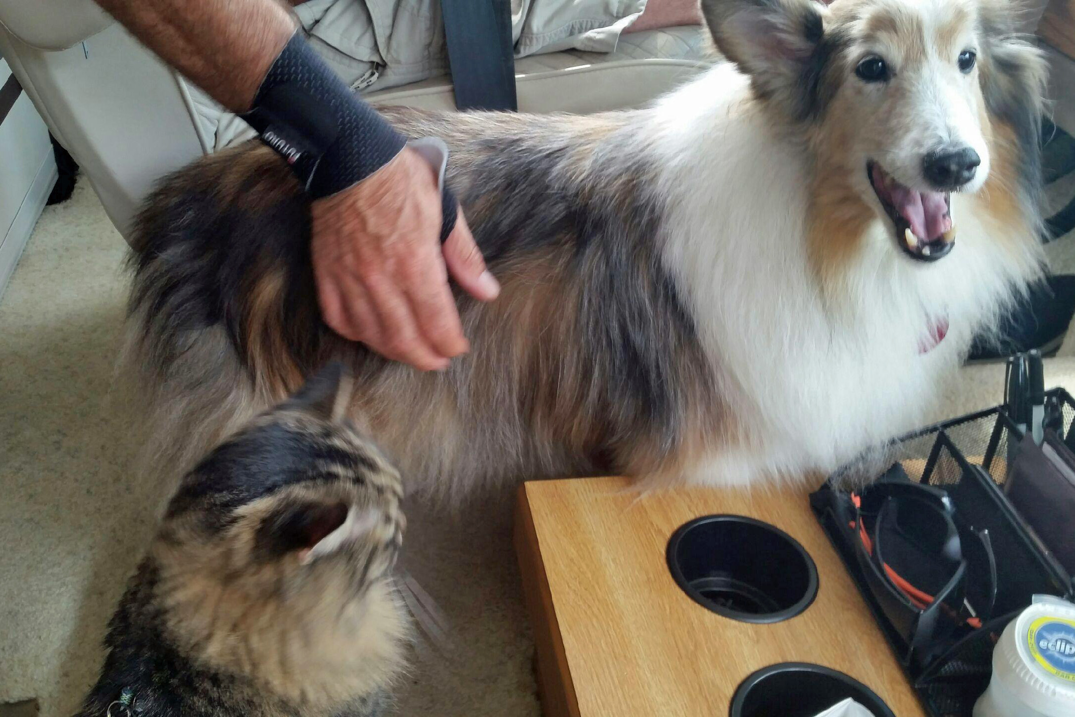
Pet copilots

Pet copilots

I have to say that my copilot Jackie has been great as scouting out our campgrounds from the road – those that we did not reserve ahead. Once we decide, she navigates right to the spot. She also checks the gas prices ahead, using the GasBuddy app. My gas gauge tells me how many miles we have left in the tank, so we plot the best prices possible. My secondary copilot Benji lets me know if the road is getting rough and if we are taking the curves and turns too fast. Passenger Merlin mostly sleeps under the sofa, coming out every once in a while, loudly requesting cabin service. Sorry, the captain has not turned off the seat belt lights.

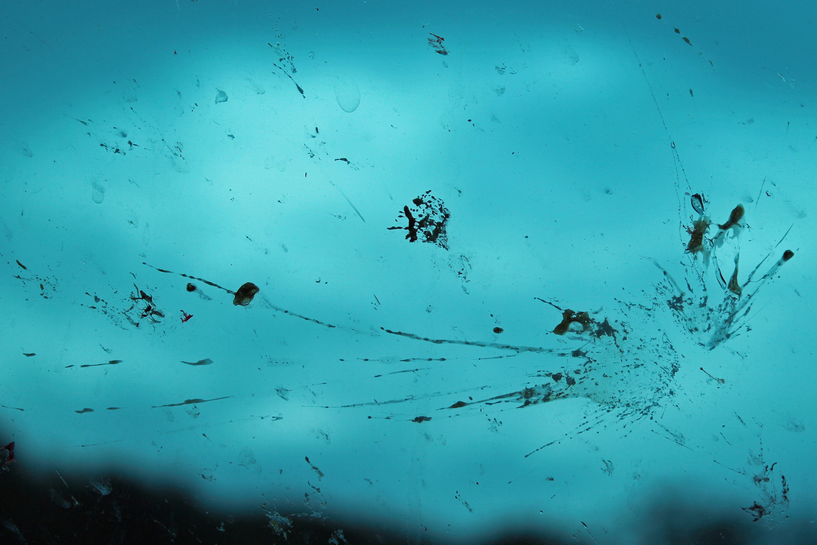
Bug Splat Report

Splaaat

Splaaat

Yukk – we figured it was the worst in Missouri for bugs and butterflies on the windshield, but Kansas topped that easily. Didn’t count the ‘splats per minute’ but we washed the windshield this morning and had to clean it again when we gassed up at lunchtime. But Alabama had more colorful splats.

Roadkill Report

On the way through Mississippi and Missouri it was armadillo and raccoon on the shoulder, in Kansas we passed a coyote. Heck of a way to spot wildlife.

Onward to Colorado tomorrow.

Categories: Uncategorized | Tags: , , , , , , , | 2 Comments

St. Louis Blue skies & Brewskies

St. Louis is a nice surprise. Easy to get around, no real traffic in town and lots to enjoy. And the weather is just wonderful — great first day of Fall.  We made our way to the Gateway Arch, which has the grounds under construction for their 50th anniversary plan to connect the arch with the old courthouse and pedestrian plazas. But the old courthouse is an amazing building itself.

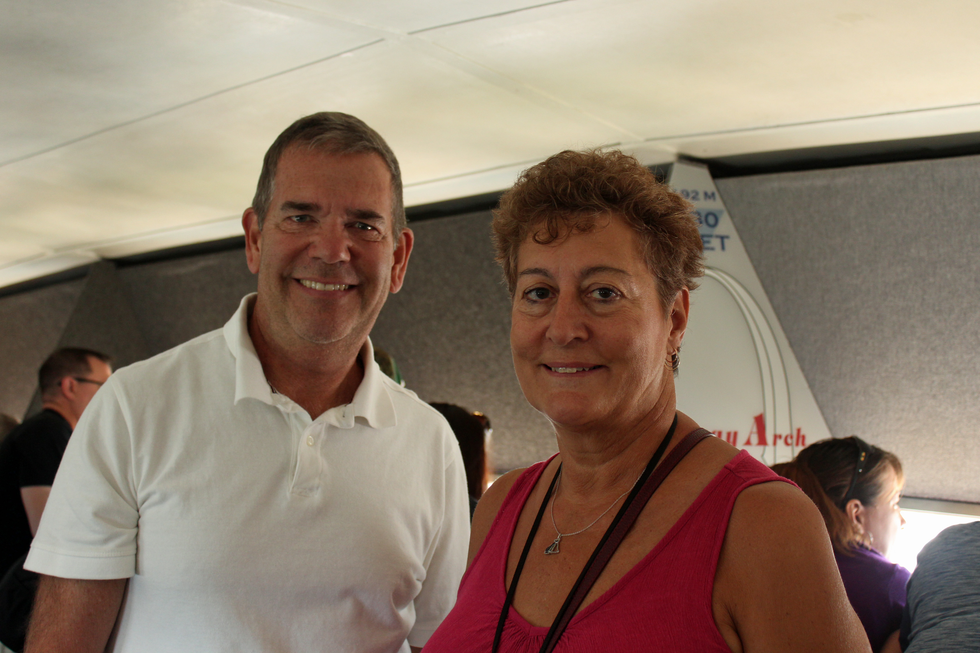
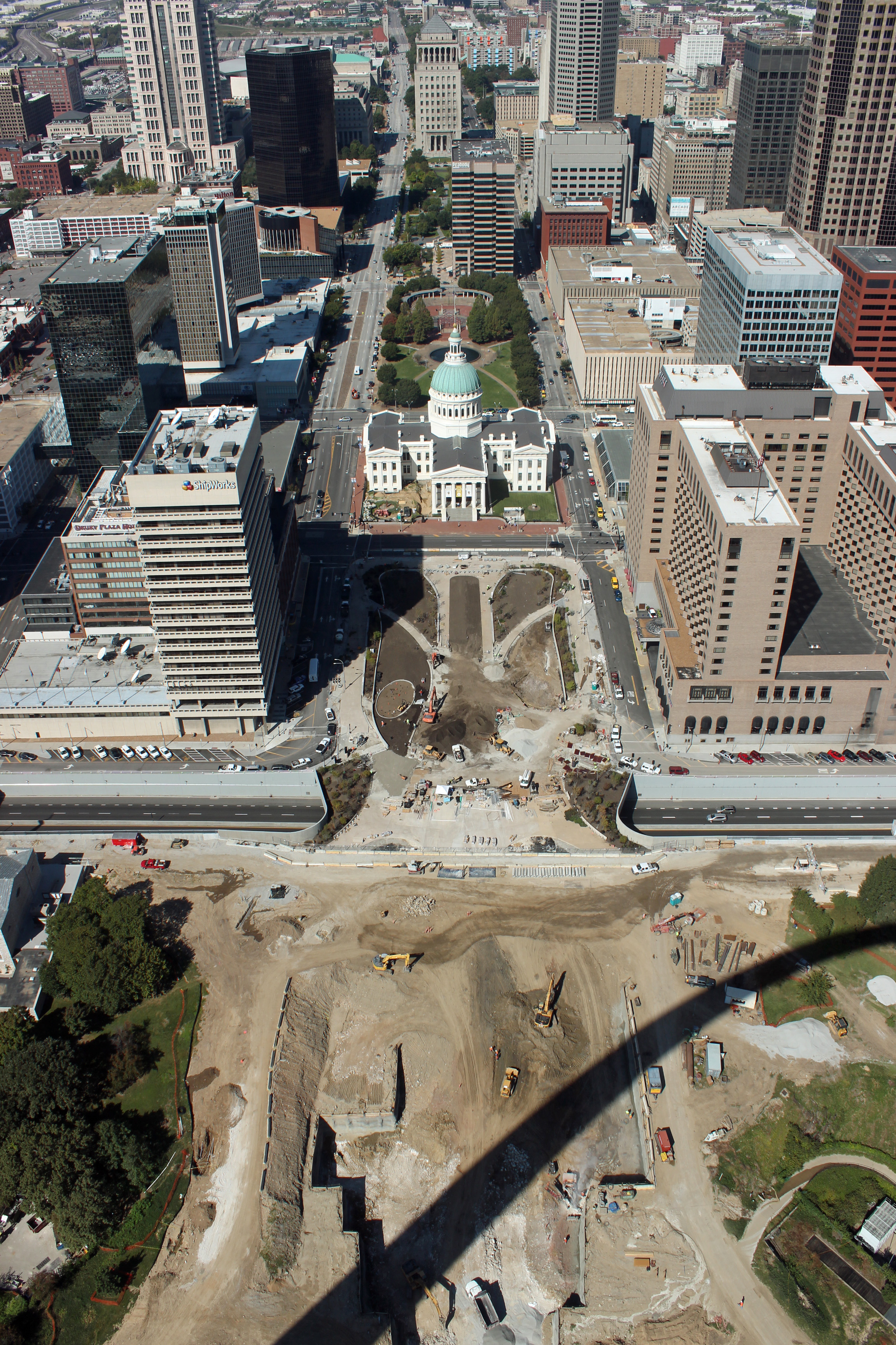
The arch is so simplistic, yet so impressive up close and inside. The journey to the top inside little elevator cars gets a bit claustrophobic, but the view from the top is awesome. You can look down practically under your feet (a bit dizzying, actually). Downtown, Busch Stadium, Illinois and the Mississippi River are all spread out below.

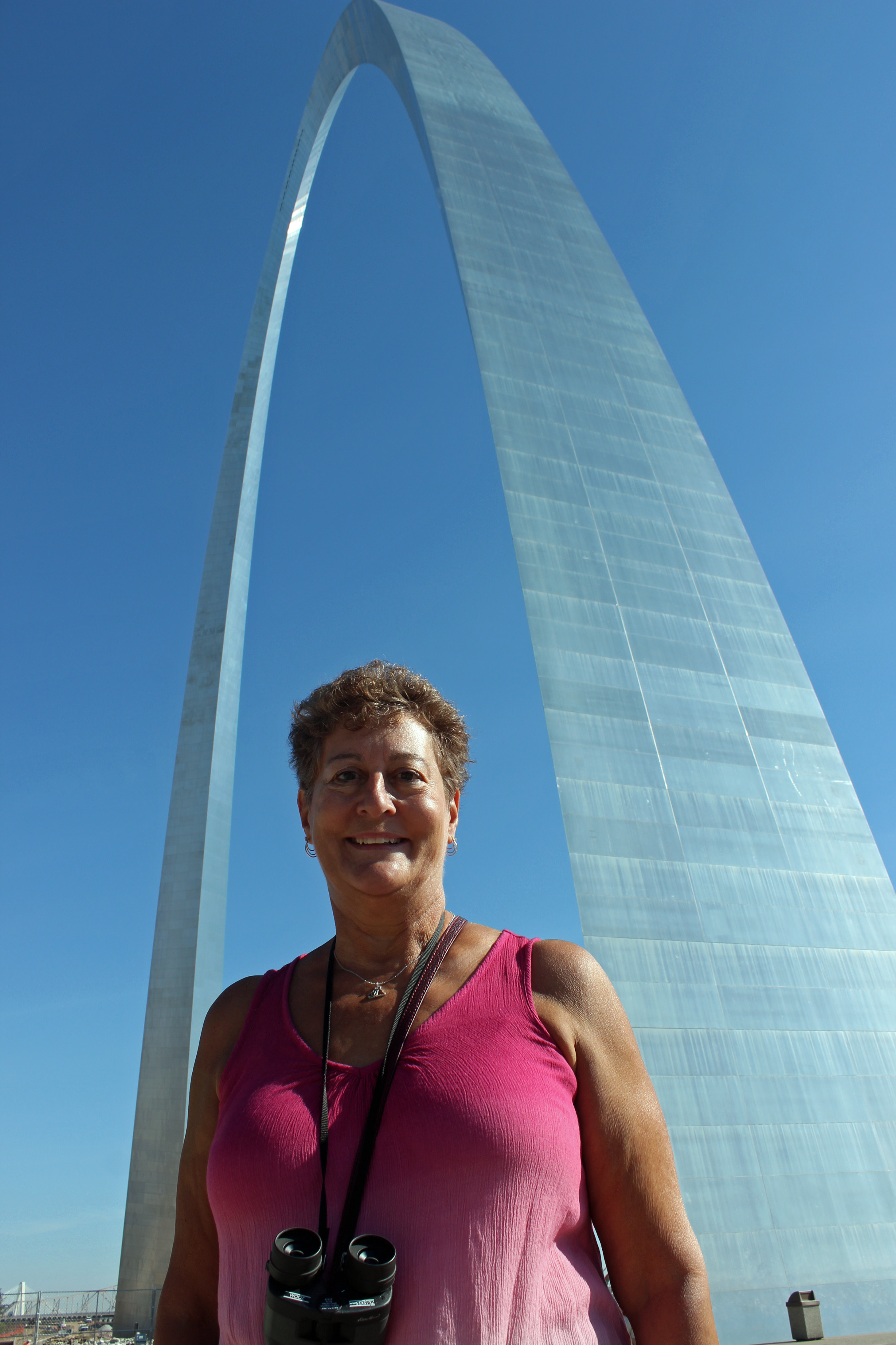
Jackie at the Arch

Jackie at the Arch

Top of the Arch - 603 feet up

Top of the Arch – 603 feet up

Dizzy view below

Dizzy view below

Breweries are of course important in town, so we were obligated to visit and sample … not too much arm-twisting. Started at this little brewery, maybe you have heard of it – Anheuser-Busch? Toured the historic buildings, the Brew House and beechwood aging tanks, plus the stables where the Clydesdales are pampered. Oh, and sampled some beer.
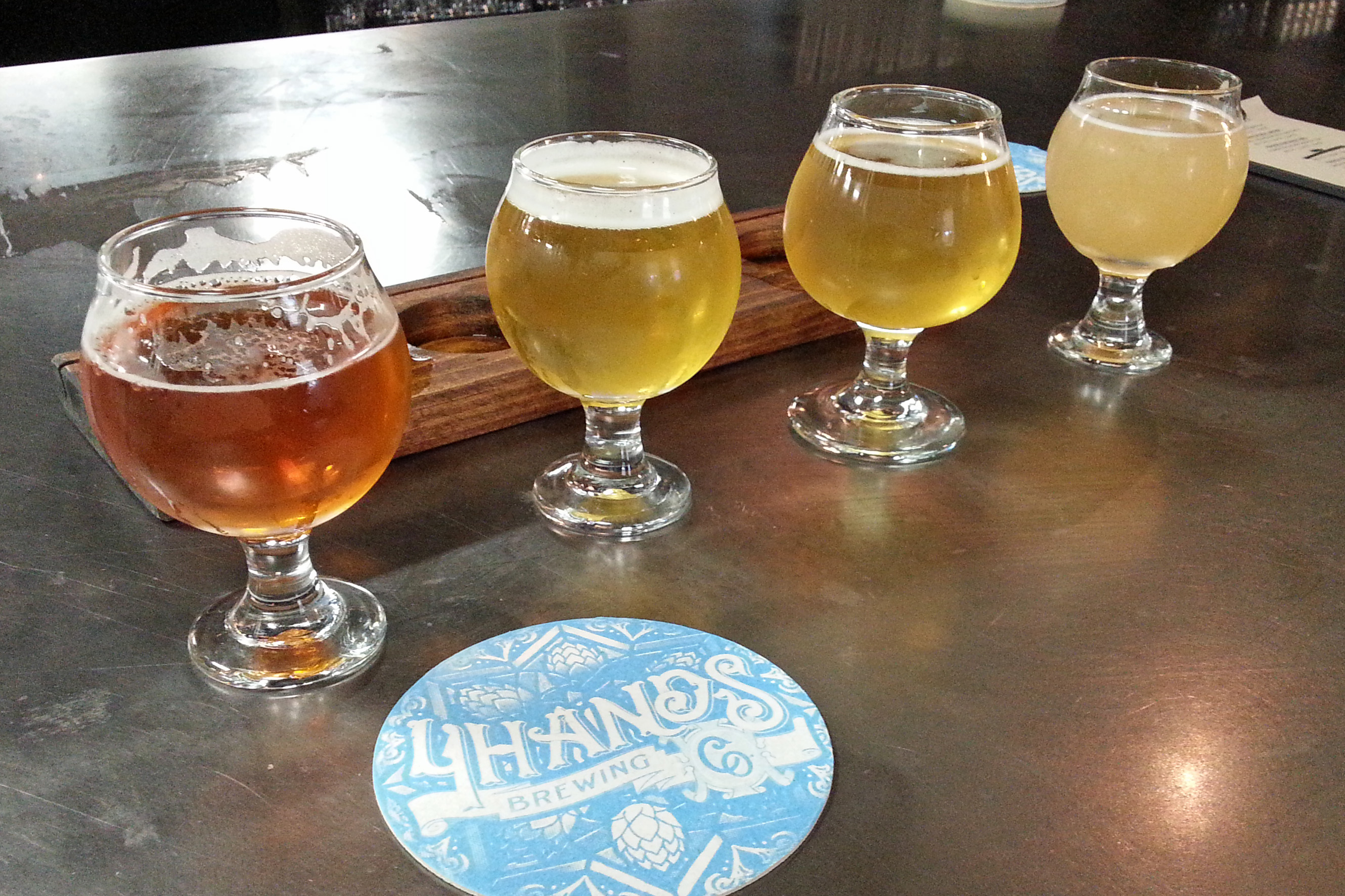
We dropped by Four Hands brewery for a tasting, then Urban Chestnut and Square One Distillery (actually had food with our beer there). Some really cool settings and nice local flavor.

Four Hands selection

Four Hands selection

Thirsty?

Thirsty?

Now I do have to say that our “camp” is hardly more than a parking lot. There is nary a tree to be found on the pavement. Benji has a little walk to the only patch of grass, but what the park lacks in camp space (don’t think we can even set up the chairs outside), it has in convenience. Blocks away from everything we want to see. Heck, there is an old school on one side (rumble of buses in the morning) and a police station on the other, so what more can you ask? Oh, and a great, hot, full-pressure shower!

Gateway Arch in the morning

Gateway Arch in the morning

Be sure to check out the Places page (I updated some other pictures) and Foodie to see what we have been sampling.

We roll out in the morning for Kansas City – not yet sure how far we will make it, so not sure the spot where we will spend the night. Walmart parking lot maybe?

Categories: Uncategorized | Tags: , , | 1 Comment

Whole Lotta Shakin’ Goin’ On

I think that is what Merlin and Benji clearly thought, since the RV tends to be a bit noisy every time we hit rough roads and bridge crossings. But now we are in Elvis territory.

Smith Lake, AL

Jackie and Benji on Pride Rock?

We made it to Memphis today, about to have dinner with friends (our first of many BBQ meals I think). Last night was spent at Clear Creek Campground on Smith Lake outside Birmingham. Nice spot, only one other camper on our loop. We stopped to fill up on gas in Tupelo, MS at a wallet-happy $1.81 per gallon, only to see $1.77 per gallon at the Kroger gas across the road from our spot in Southaven. Hey, at least it is heading in the right direction!!

Graceland

Really just a drive by …


Elvis

Elvis at the Welcome Center

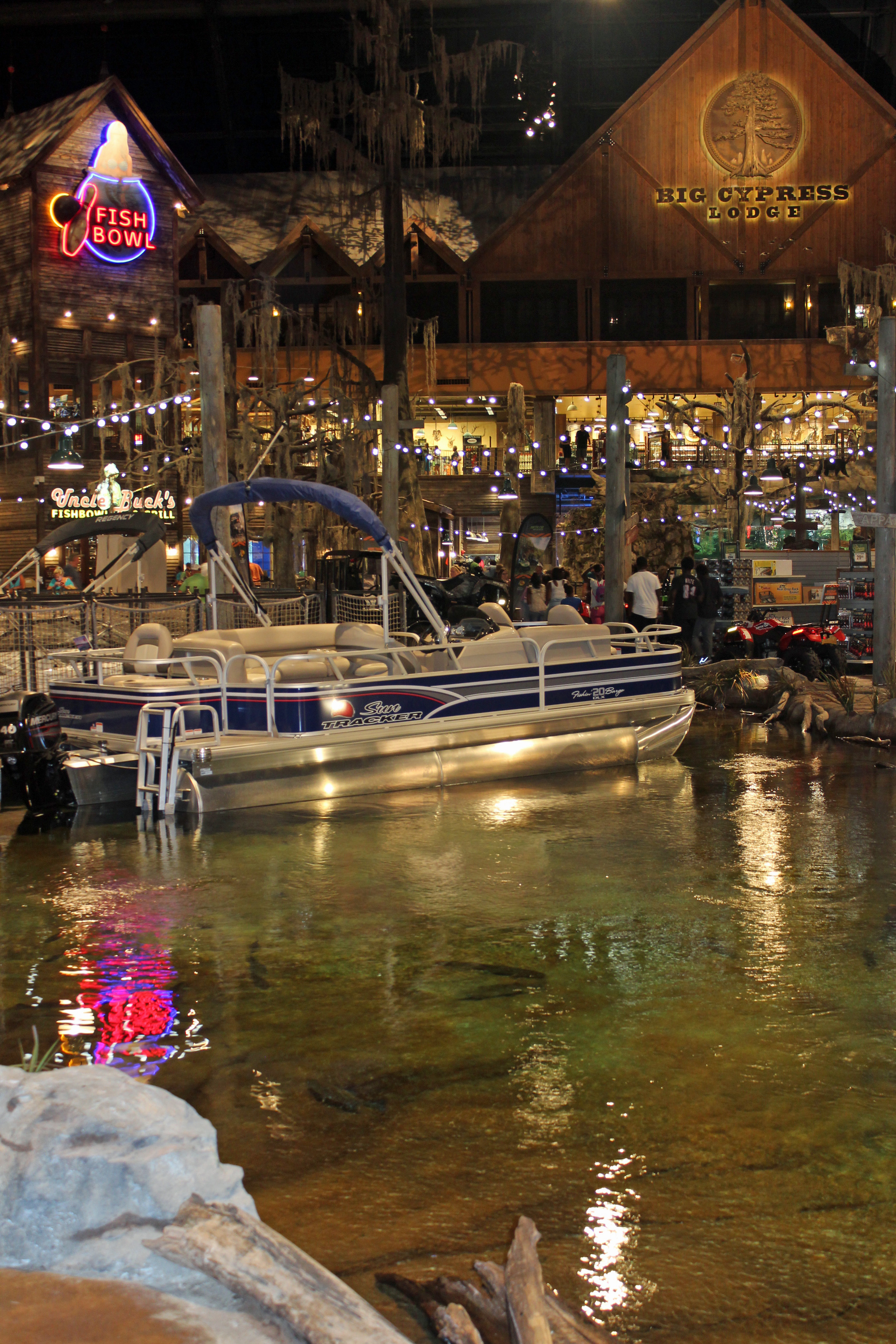
We got here in good time, traveling across some beautiful rolling hills in Alabama and Mississippi with little to no traffic. Had time to play tourists and did a drive-by of Graceland (not exactly the neighborhood you expect) and stopped in Bass Pro’s theme park in the Pyramid. Quite an imaginative store, with lodge rooms built in (shop, drop, sleep and shop some more?).
Memphis Bass Pro

Bass Pro at the Pyramid


Bass Pro

Inside Bass Pro Shop

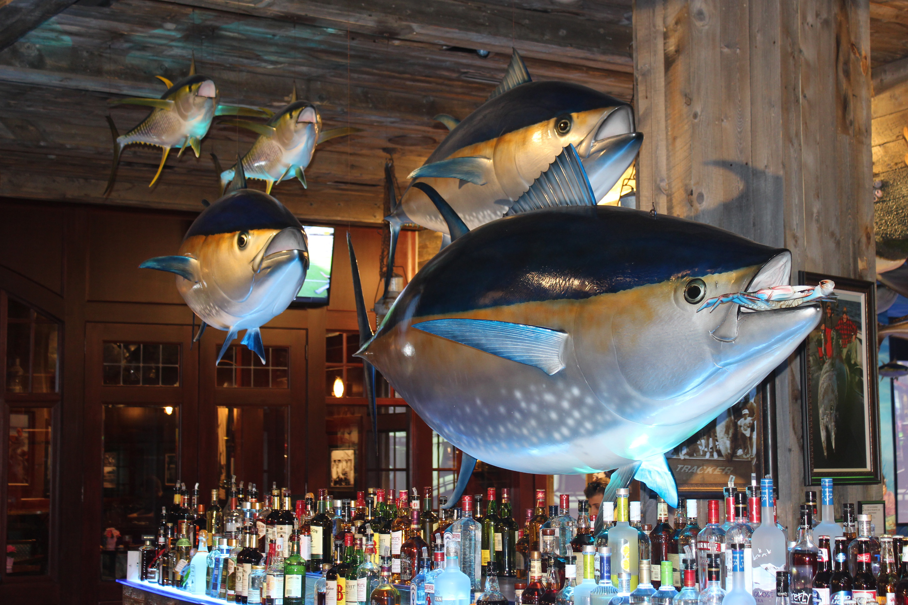
Bass Pro Bar

Ok, now that’s a bar! Inside Bass Pro.
Drove along the Mississippi River on our way back to camp. Tomorrow we head upriver to St. Louis.

Categories: Uncategorized | Tags: , , , , | Leave a comment

Blog at WordPress.com.