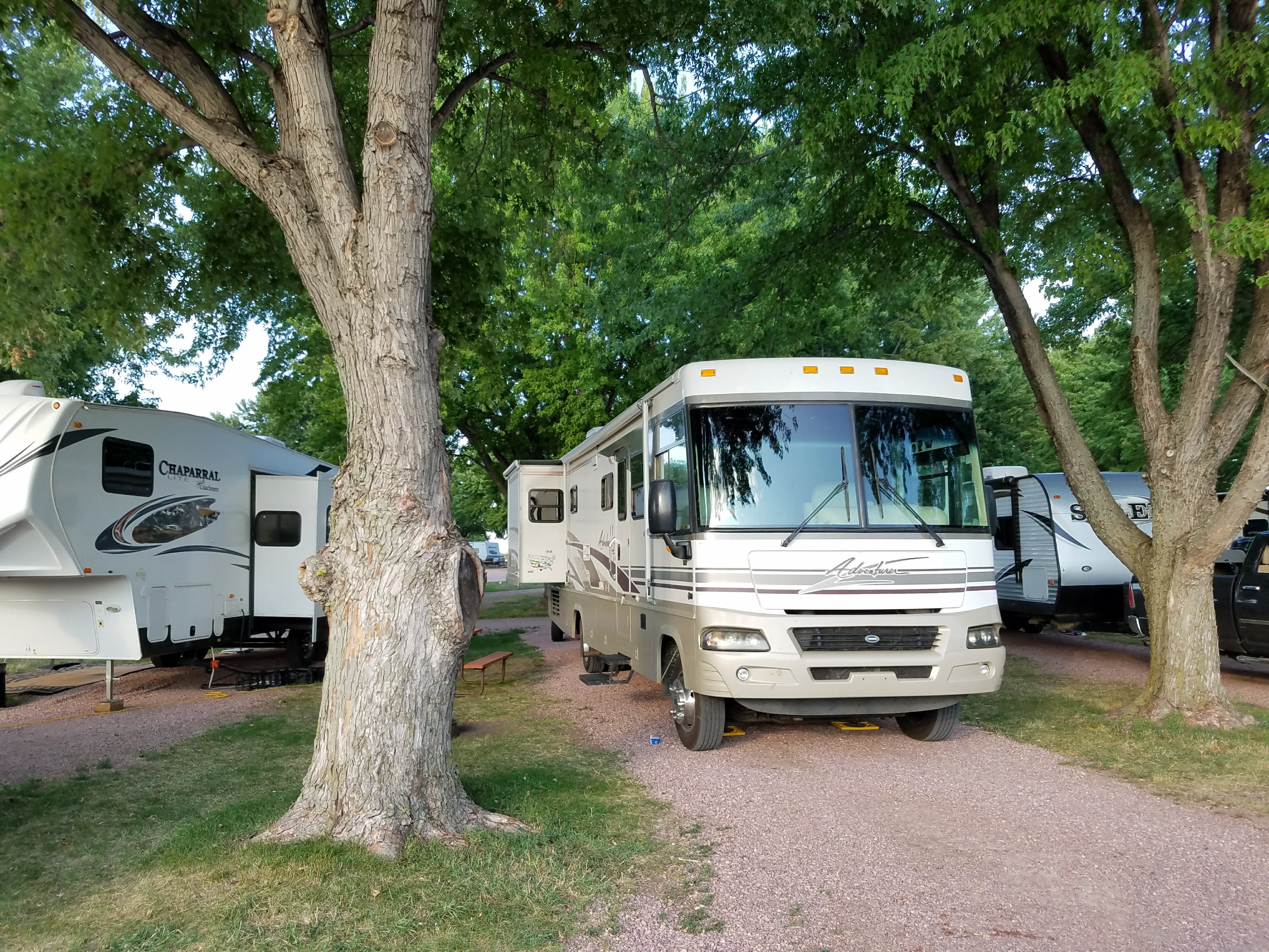
Heading out of Custer State Park our next destination was Bighorn National Forest just outside Buffalo, Wyoming. One stop along the way was Devil’s Tower Monument, you know, the one made famous in “Close Encounters?” Since we had been busy watching bison in camp for a few days, we needed another stop at Rapid City’s Wal-Mart for basic supplies, then off we went to Devil’s Tower.
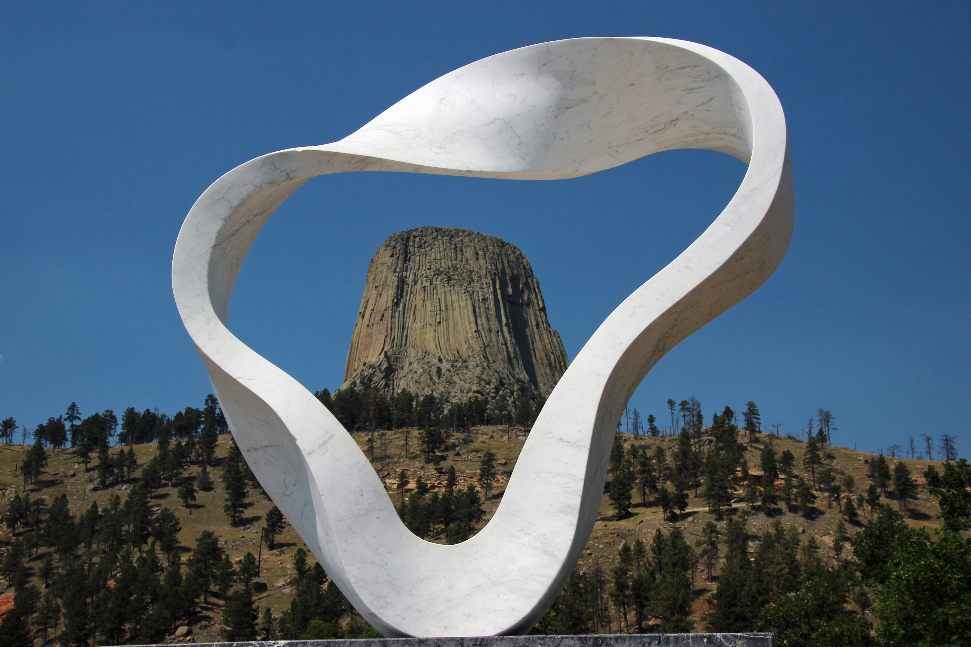
Devil’s Tower and Smoke Ring sculpture
As close as we could get.
The only glitch we discovered was there was very limited parking for motorhomes and trailers, in fact it was at the base of the tower and not yet up to the Visitor’s Center. Even though we could have disconnected the car to drive closer, we hopped out, took the shots and kept moving.

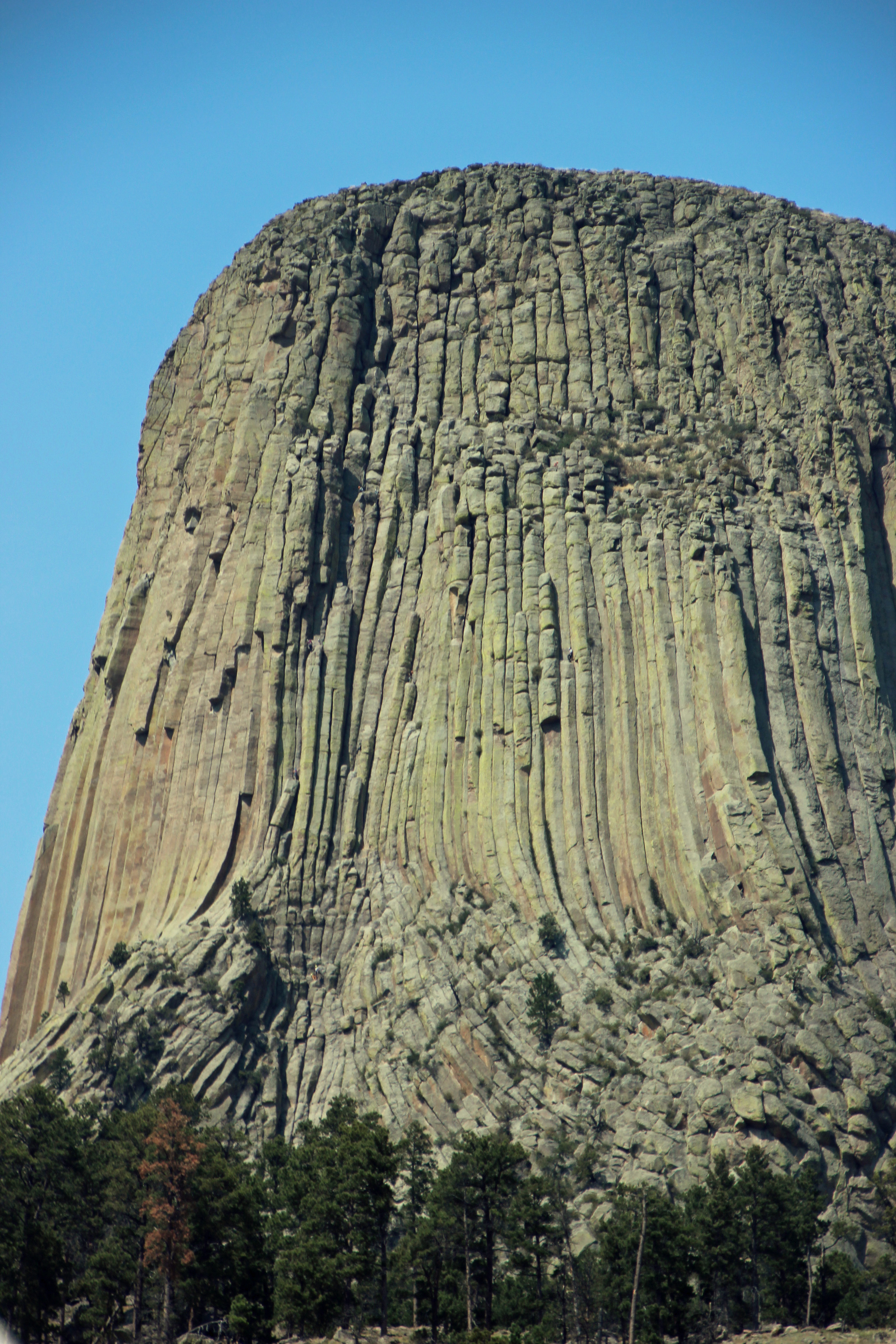
Devil’s Tower Monument
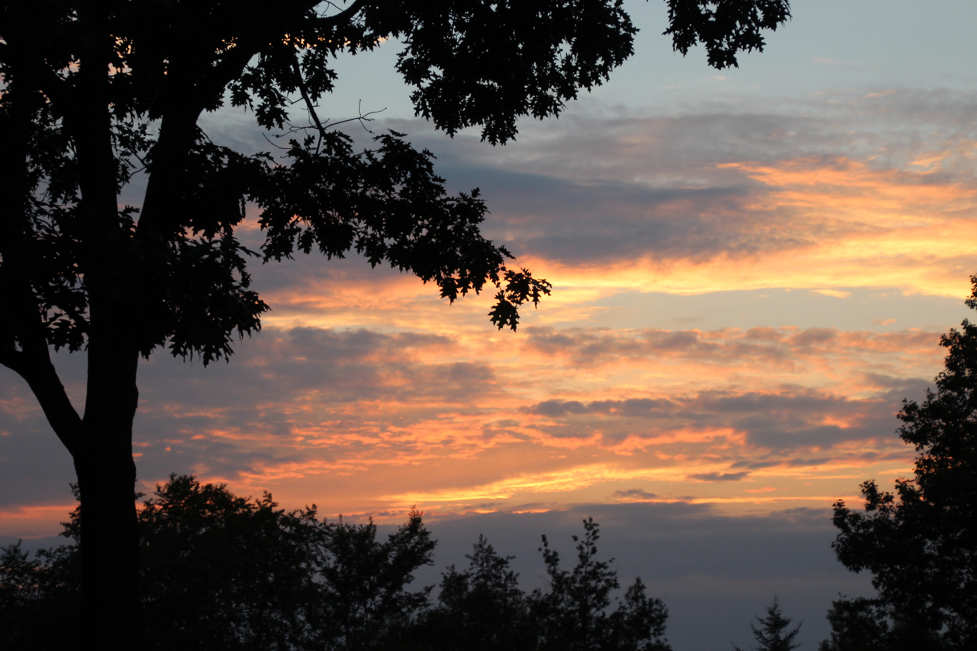
As we got closer to our destination, I kept scanning the low hills for anything that looked like mountains. Our campsite was in the Middle Fork Campground and it was hard to see anything that fit the description of mountains, but then it was very, very hazy on the drive. I couldn’t figure why so much haze and ground level ozone in such a wide open area, but then we learned we were in the path of smoke blowing down from wildfires in Canada and Montana. As we got closer to Buffalo we finally spotted the mountains looming in the haze… looks like a proper location after all.
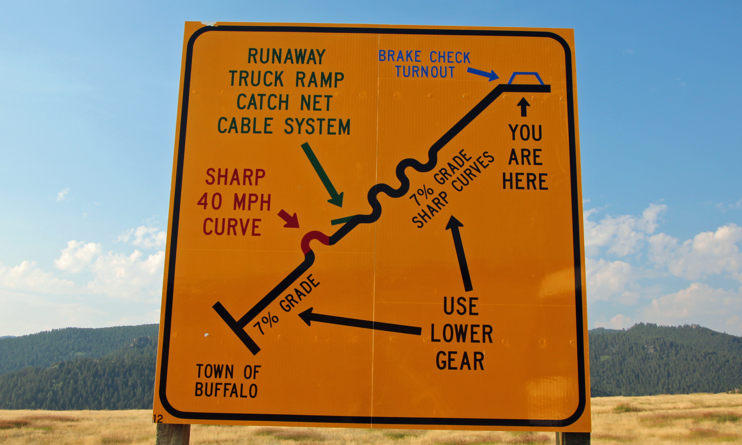
Umm, I guess we should shift to a lower gear…
Well, yeah… it was several miles of 7 and 8% grade up, relentlessly. Up, up we went, while the engine temp did the same. But the outside temperature did the opposite, going from upper 80’s to low 70’s. Wow, we had a bit of a pause to go downhill a bit, then Jackie shouted, “there, the turn is there – slow down.” We exited the highway, across a narrow cattle grate and the road seemed way smaller, in fact it turned into dirt and gravel. Hmmm, okaaaay… are you sure this is it? Oh yeah, the next turn was even tighter, across more cattle grate and less gravel.

Are you sure this is the right way? Can we fit in there?
But the sign announced the campground. We took a deep breath, drove very slow and across a one-lane bridge, found our gorgeous campsite and decided to disconnect the car and tow dolly and hope there was a turnaround ahead for the motorhome. There was, and we eased into the site, one that was the BEST ever. A clear mountain stream rushed along the site and we were in the midst of beautiful spruce and ponderosa pines in a narrow gorge that was now in the mid 60’s.

Great campsite in the spruce and fir forest.

Middle Fork of the Bighorn River, alongside our campsite.
We knew the spot was without electric or water hookups, but there was a handy water pump across from the site, just in case. Took Kodi off for a walkabout, chatted with the camp host, grilled a great meal, played a game of cards and went to bed with the sound of the stream. Next morning it was 42 degrees and we were dead on power. The house batteries had drained to nothing and we couldn’t even crank the generator to recharge them. Ugh. What went wrong? I think we forgot to switch the fridge from automatic to LP gas. It drained the batteries overnight. So I cranked up the engine (hooray, that worked) and tried to get some charge to the house batteries, but it was never enough to spark the generator or start the fridge, even on LP gas. So we were without electricity and although we had plenty of water, we couldn’t operate the pump to get it out of the tank. So the hand pump across from us came in handy for cold, fresh mountain water.
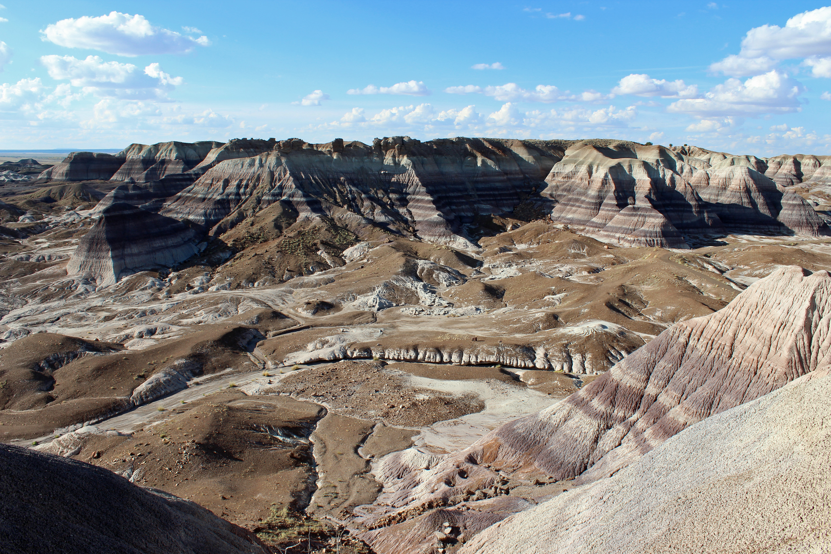
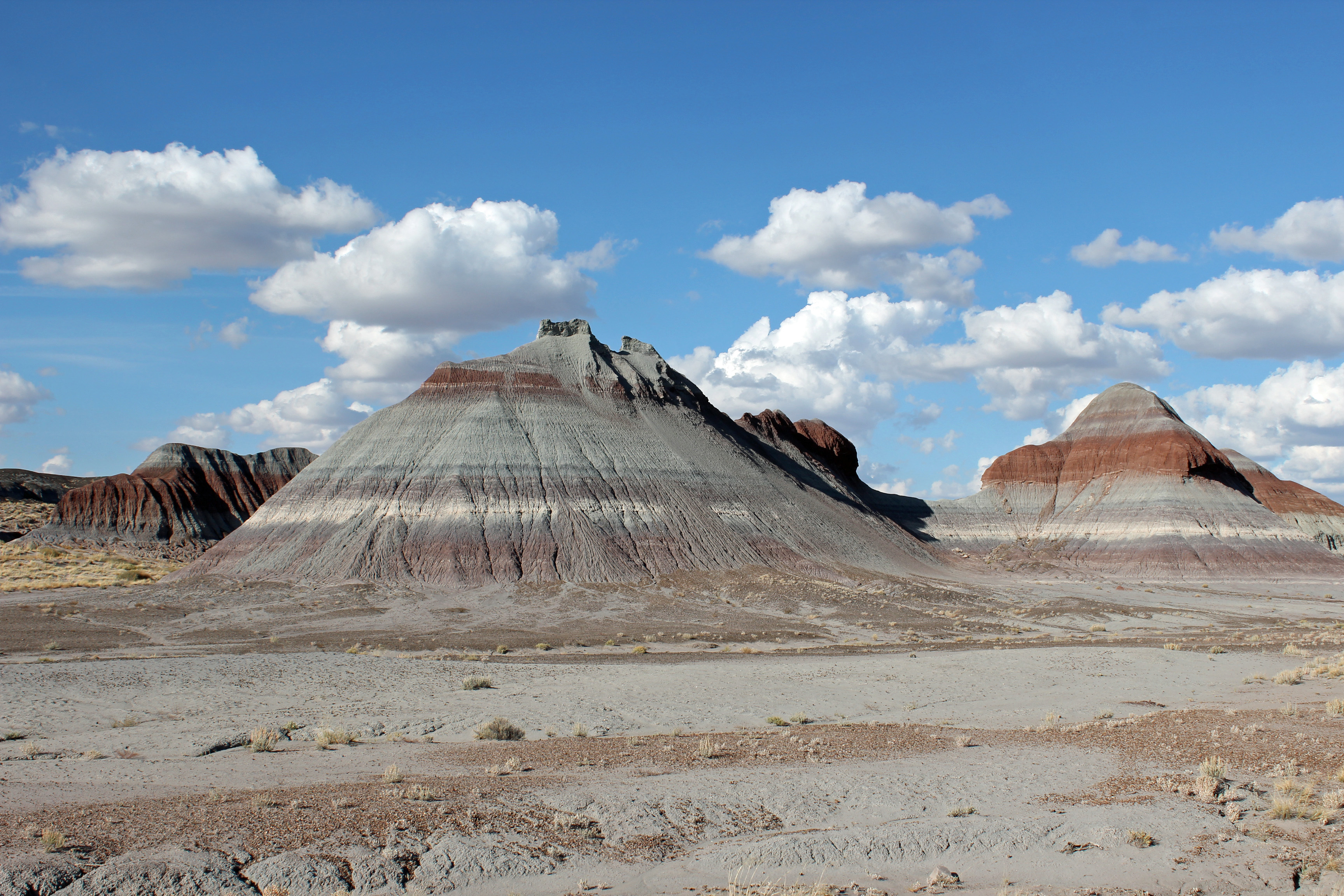
Our campsite was in the wooded gulch in the foreground.
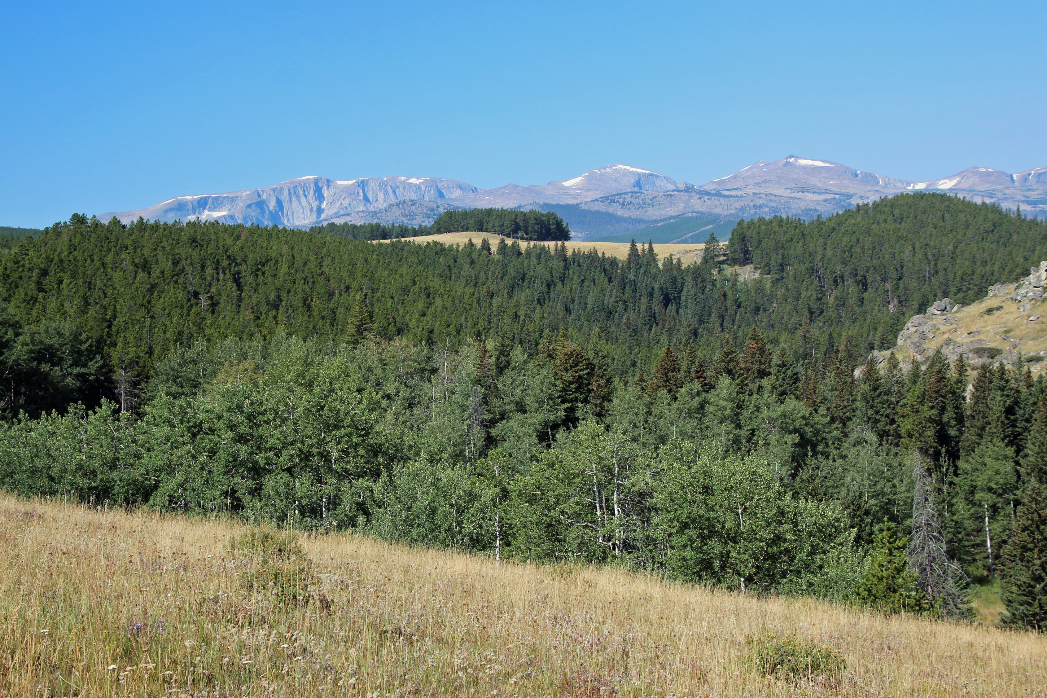
Since we got up way early, thanks to Kodi’s alarm, we took a break to hike out of camp a bit and discovered the beautiful vista we missed the day before: Cloud Peak Wilderness area in the Bighorn National Forest. It was clear early morning, but within an hour the smoke moved in and you couldn’t see them at all. Other than that, we totally loved the spot. We did a late afternoon hike into the wilderness for less than a mile before the elevation got to us (trail was 8,000, camp was 7,400 feet). We did make a run into Buffalo with the car (down then up the 7% grade) to get a couple bags of ice to put in the fridge. Total boondocking camping without showers, running water, electricity, heat … oh my, could we survive?
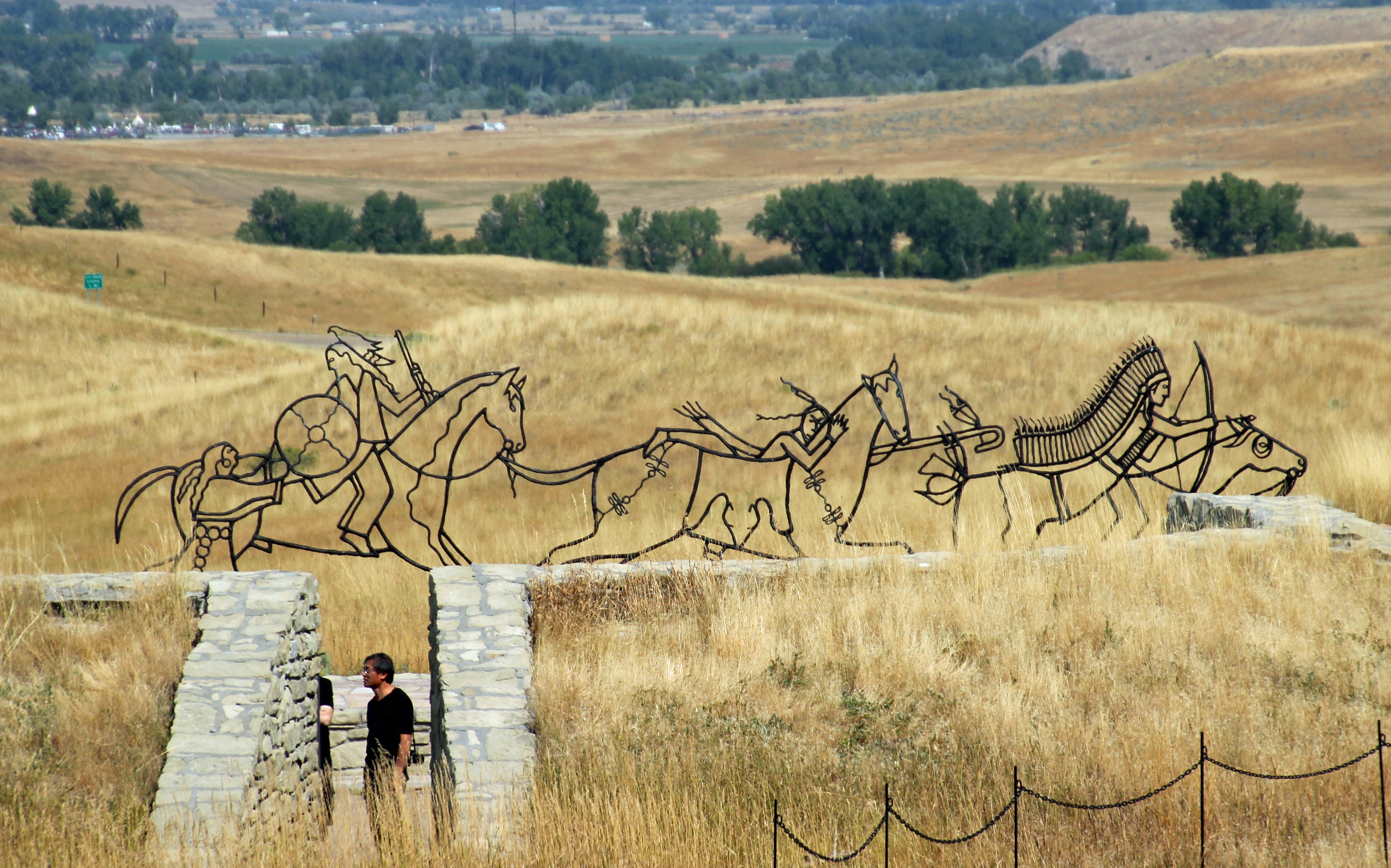
A tribute to the Native Americans who died at Little Big Horn.
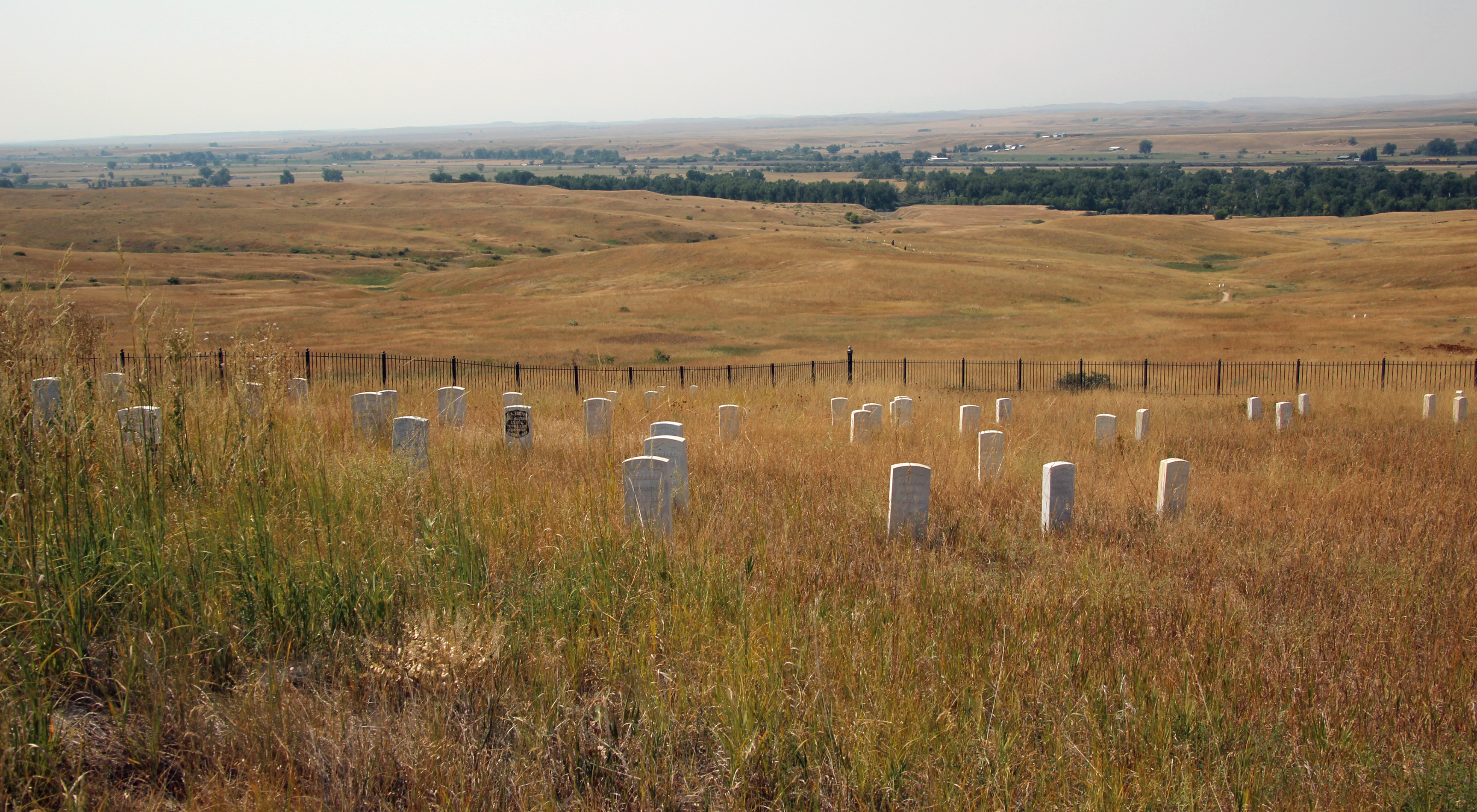
The view from Last Stand hill.
We were only in camp two nights and took off early in the morning to see if we could get to our next stop: Billings, Montana and a KOA. Short detour to see the Little Big Horn Battlefield (Custer’s last stand against the Indians) and on to civilization and an electric outlet!

The KOA was actually the FIRST KOA in the world. Very nice facility.

The camp sat along the Yellowstone River… how cool.
We made it, hooked up and got everything running again. Nothing in the fridge or freezer spoiled, in fact the ice cubes were still good. Lesson learned for the next stop off the grid (which will be Glacier for a week) – we need to check the fridge and be sure to run the generator before turning in at night to be sure everything is charged up.

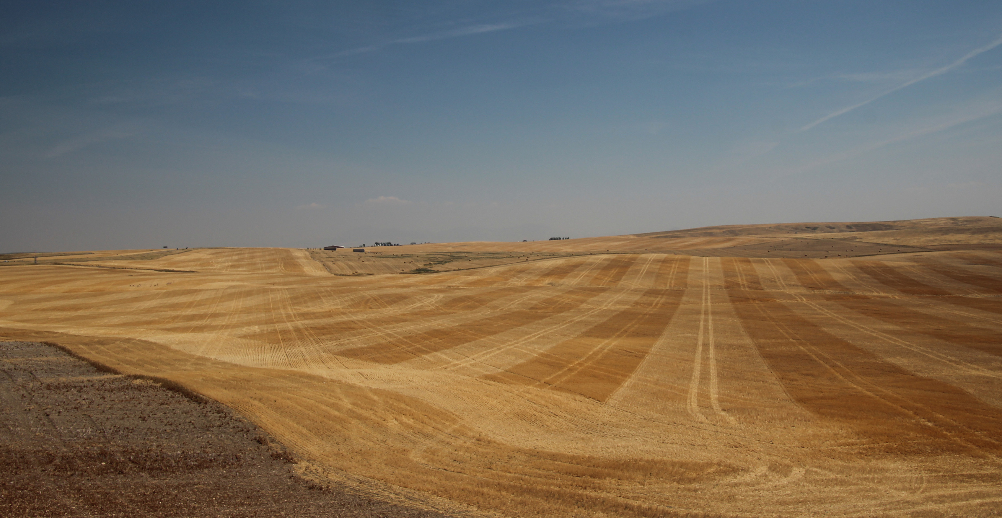
Lots of hay was being harvested in this region of Montana.
Eclipse Day! We were off to Great Falls, Montana and figured to be about halfway there by 11:30’s solar eclipse moment. The route we took was a wonderful 2-lane road that went over the hills of Montana and through the Musselshell River valley, quite scenic. We still saw plenty of wildfire smoke in the distance, but it was easy to see the many hay fields and sheep grazing around us. Magpies flew up from the road shoulders as we passed a lot of worn and weathered small towns along the way.

The town of Moccasin, Montana
We stopped in Judith Gap to watch the eclipse, which was around 90% and we had glasses in hand ready to view. As you can see, everyone in the area pulled off the road to watch the event.
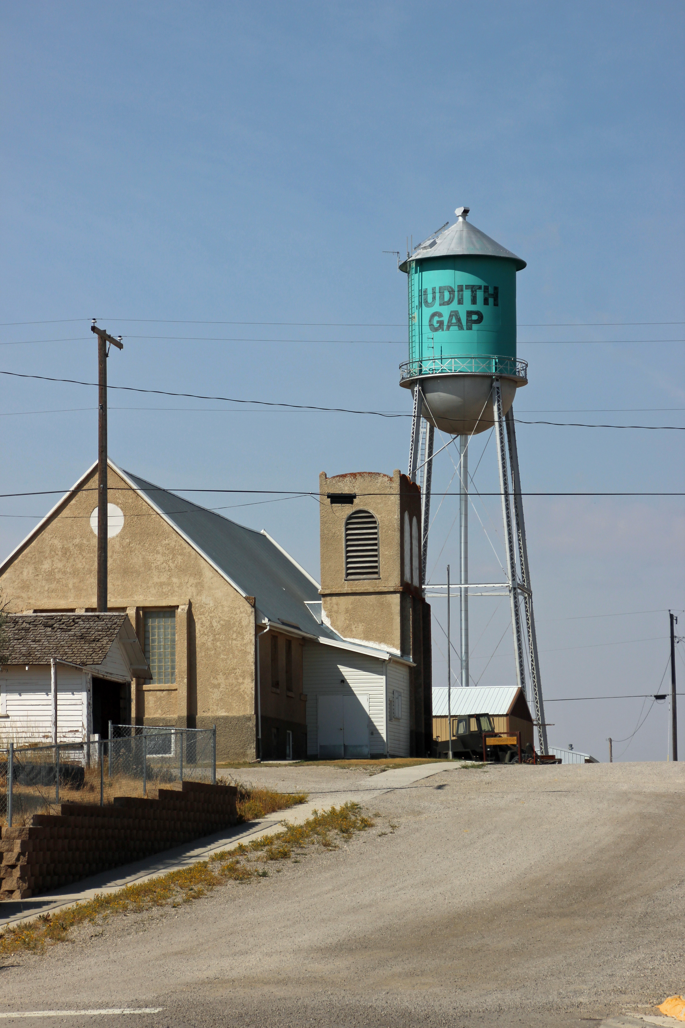
Judith Gap, Montana — where we stopped to watch the eclipse.

The crowd of eclipse watchers left the road and the traffic came to a standstill.
We noticed it was a bit dim outside, but we still saw our shadows just fine. Ah, well.
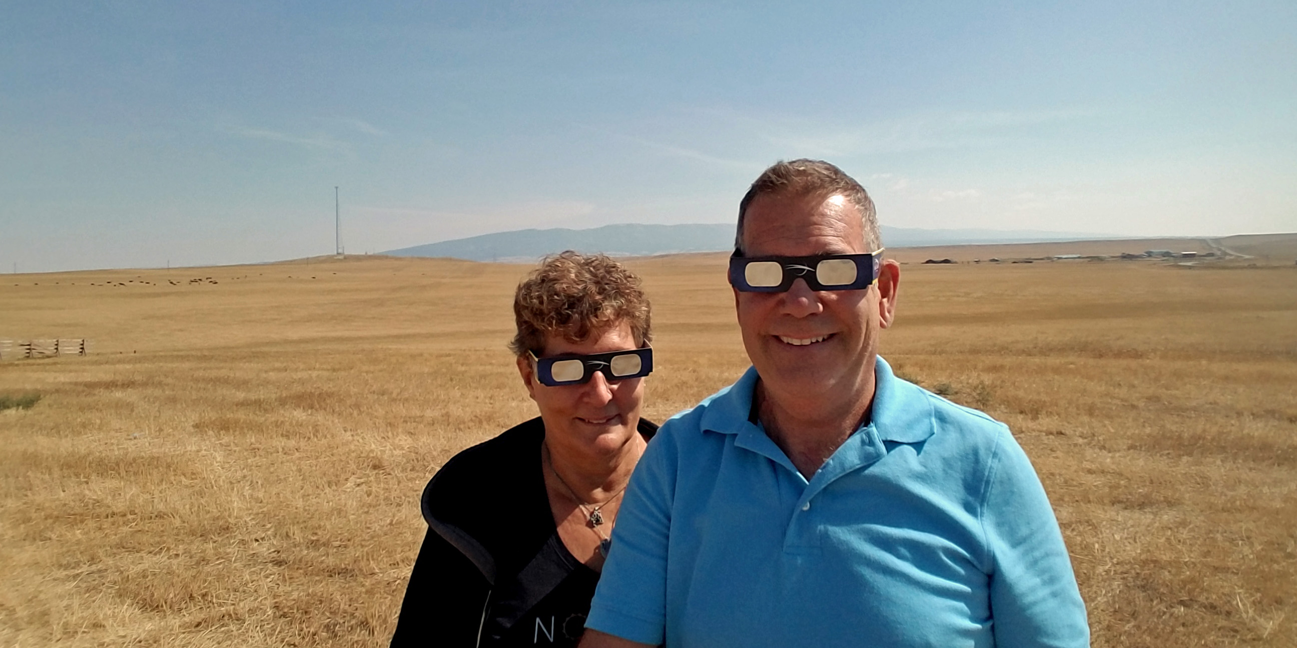
Ready with our eclipse glasses … where is the camera?
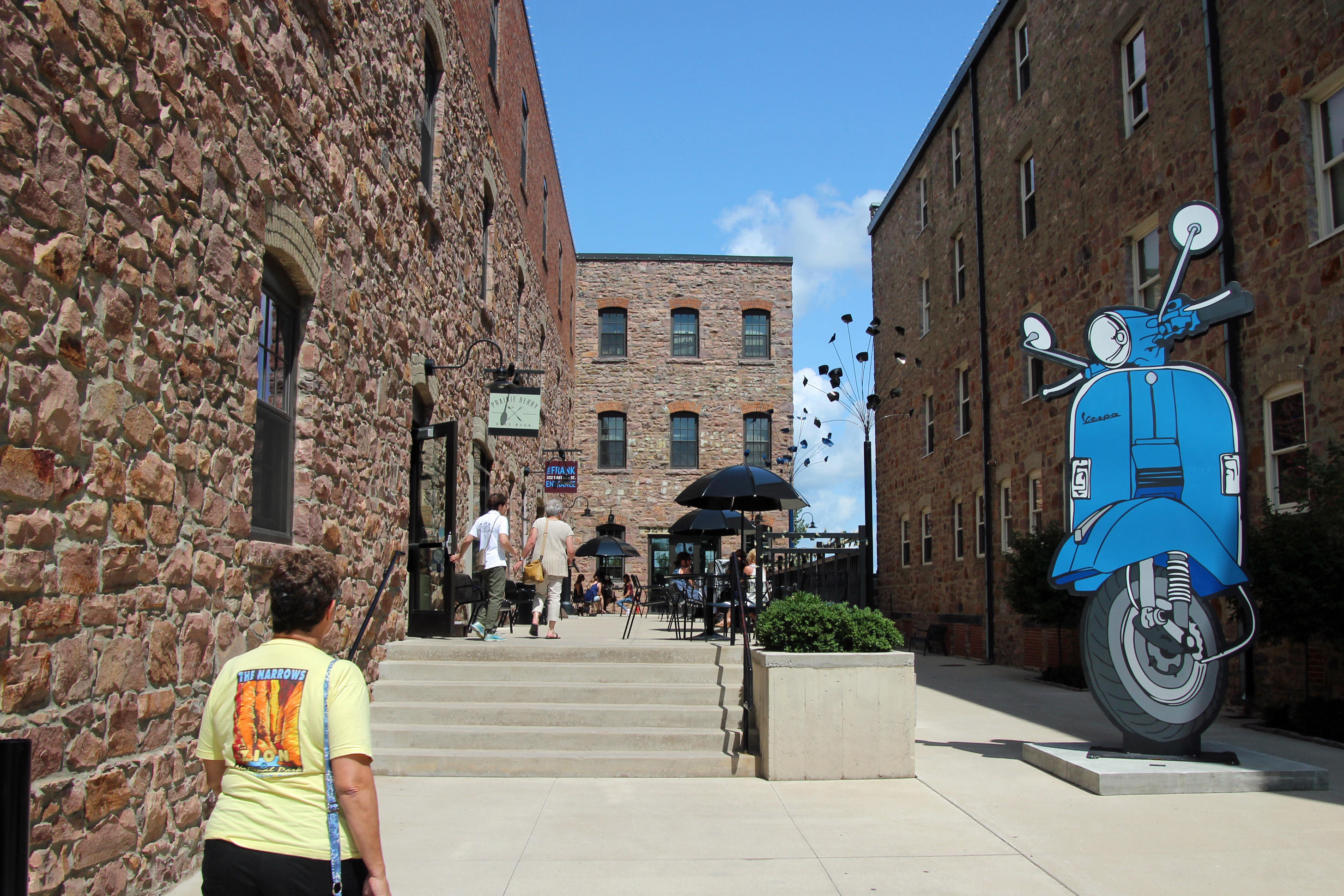
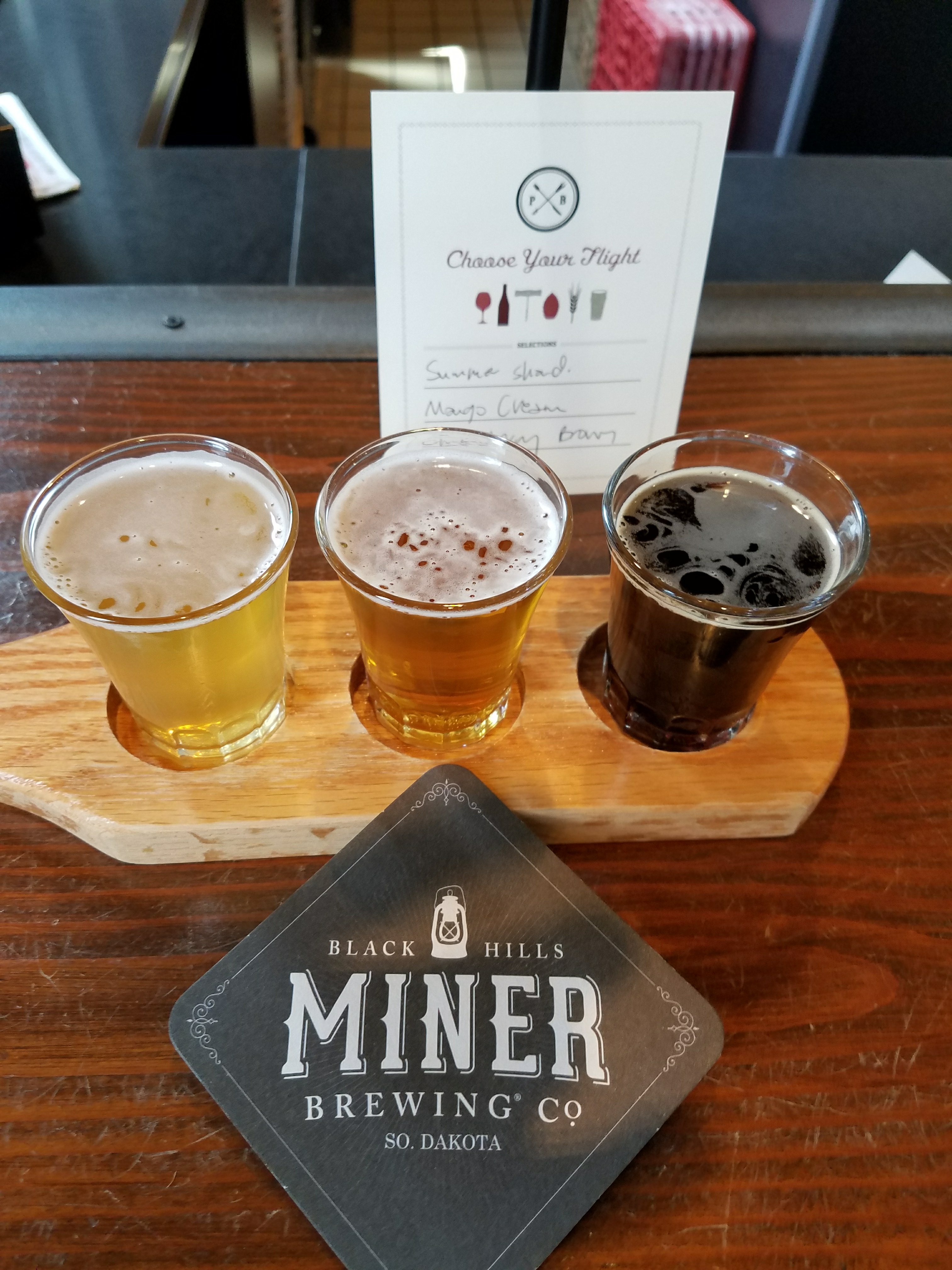
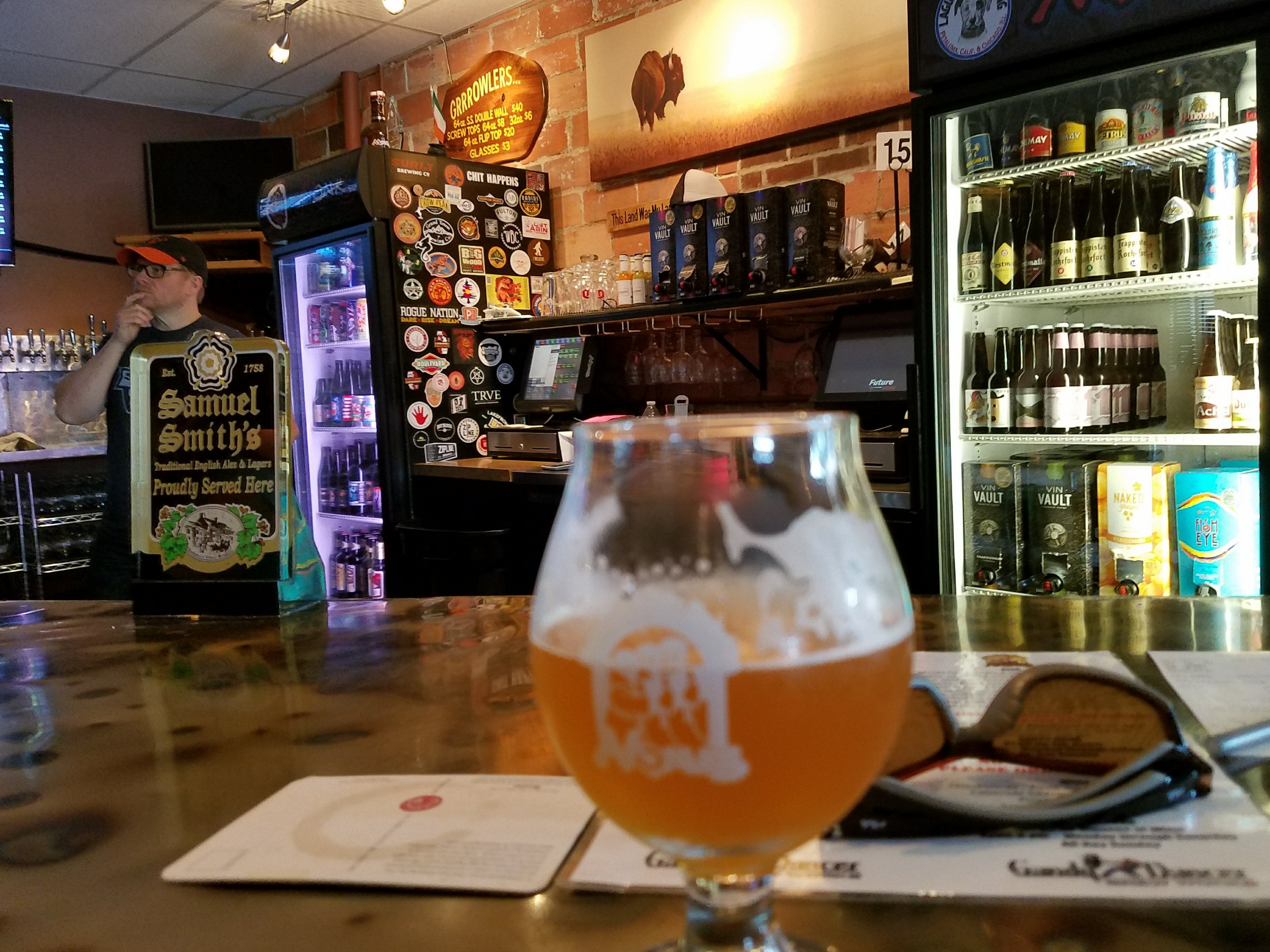
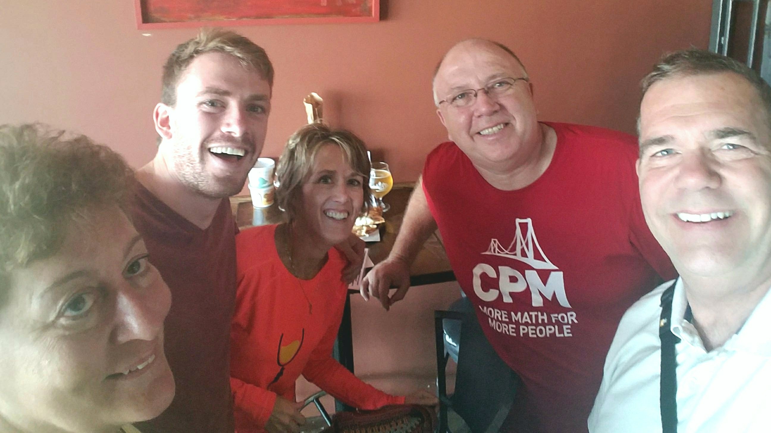
We made it to Great Falls in time to disconnect the car and check out the three breweries in town, celebrating the “non’clipse” we witnessed. Mighty Mo, Black Eagle and The Front Brewing were a lot of fun with very friendly people.

Black Eagle Brewing

Mighty Mo Brewing
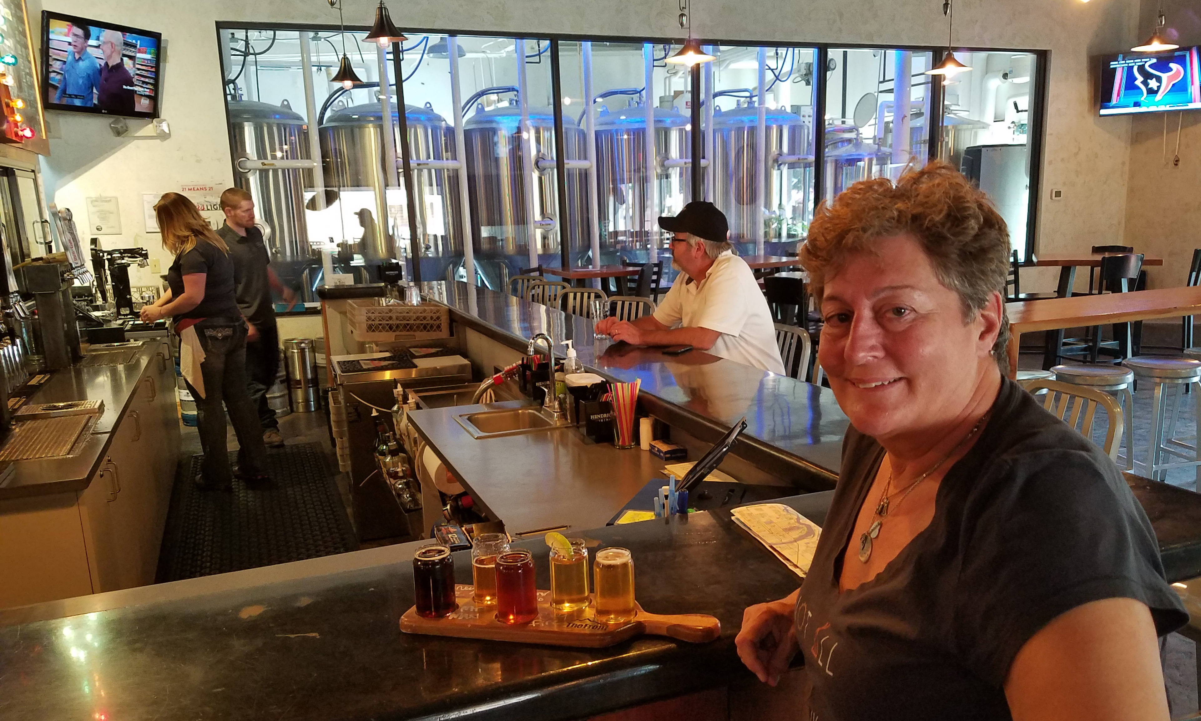
The Front Brewing
Our campsite was the KOA in town, conveniently located just behind a huge Wal-Mart. So we are well stocked and ready for our journey into Glacier.
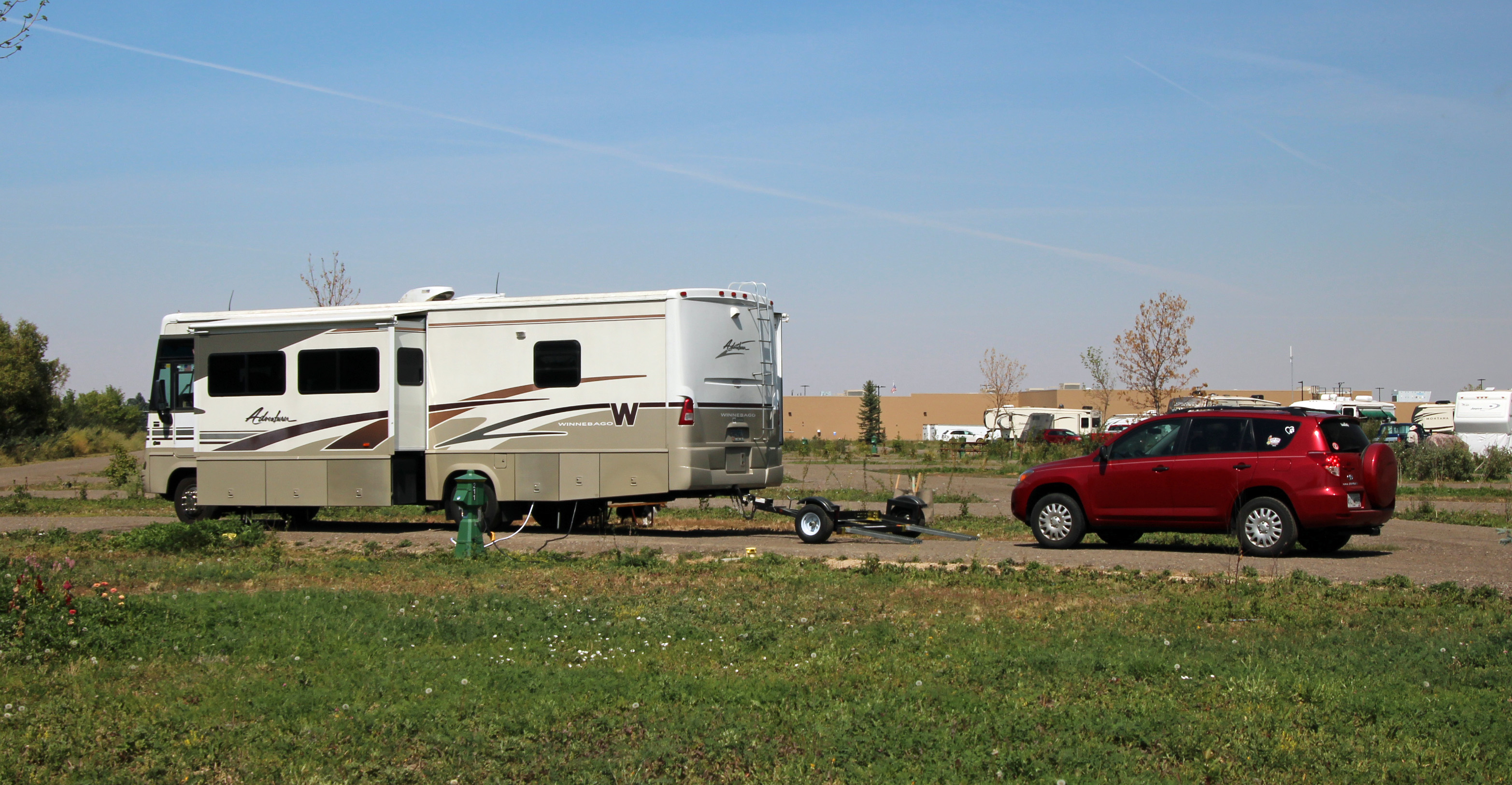
You will notice how convenient the Wal-Mart is to the campsite.
Actually, the view from the other side of camp is quite “Big Sky.”
Yes, more adventures for two former teachers who should know to read and follow all directions. Blame it on the altitude, we were woozy headed. Stick with us, as we are headed to Glacier National Park.
")

")
")
")


")
")
")
")
")
")
")
")
")
")

")
")
")
")
")
")

")
")
")
")
")
")

")
")
")
")
")
")
")
")
")
")
")
")
")
")
")


")
")


Comments