
Zion National Park

Zion National Park
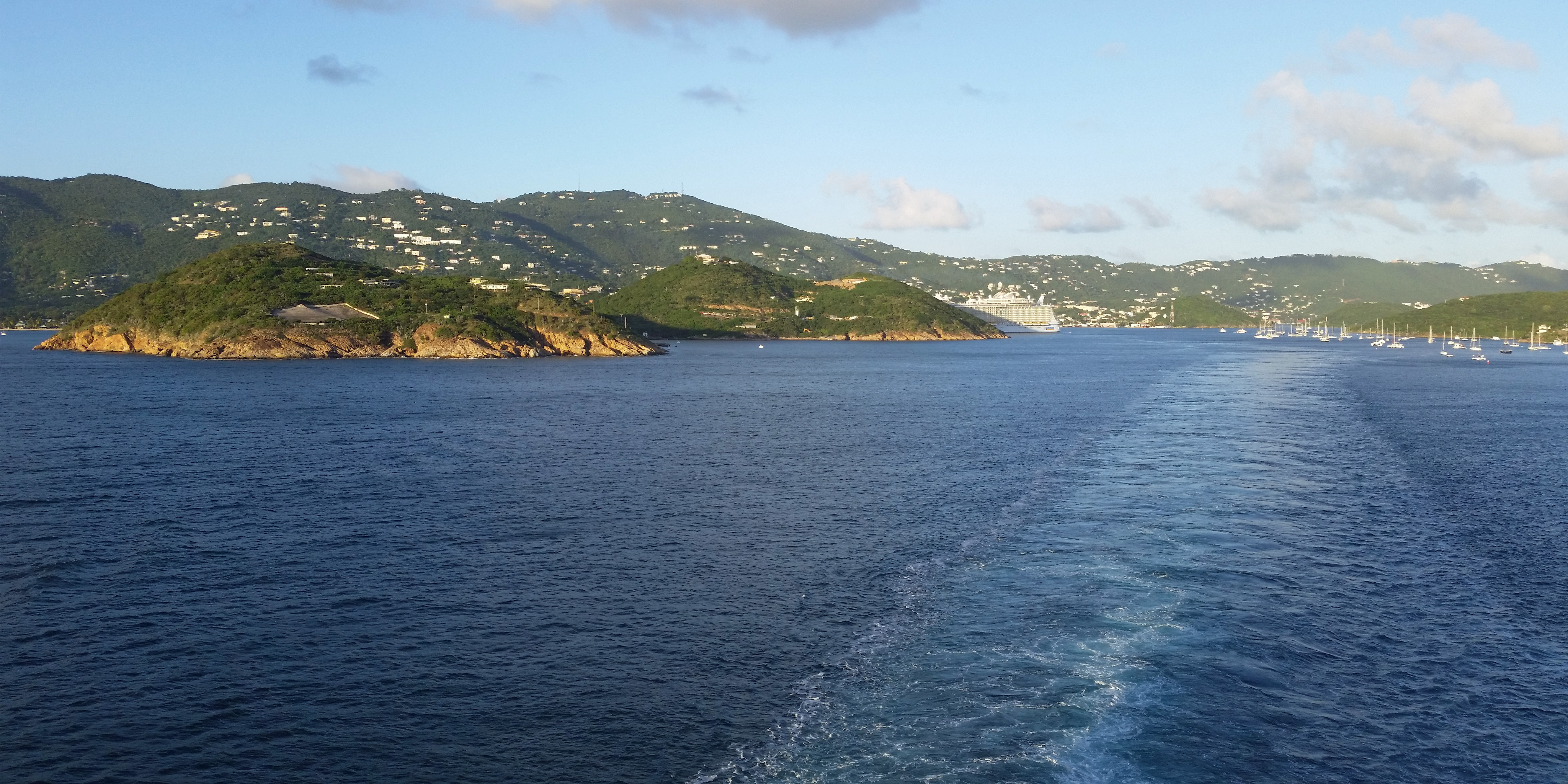
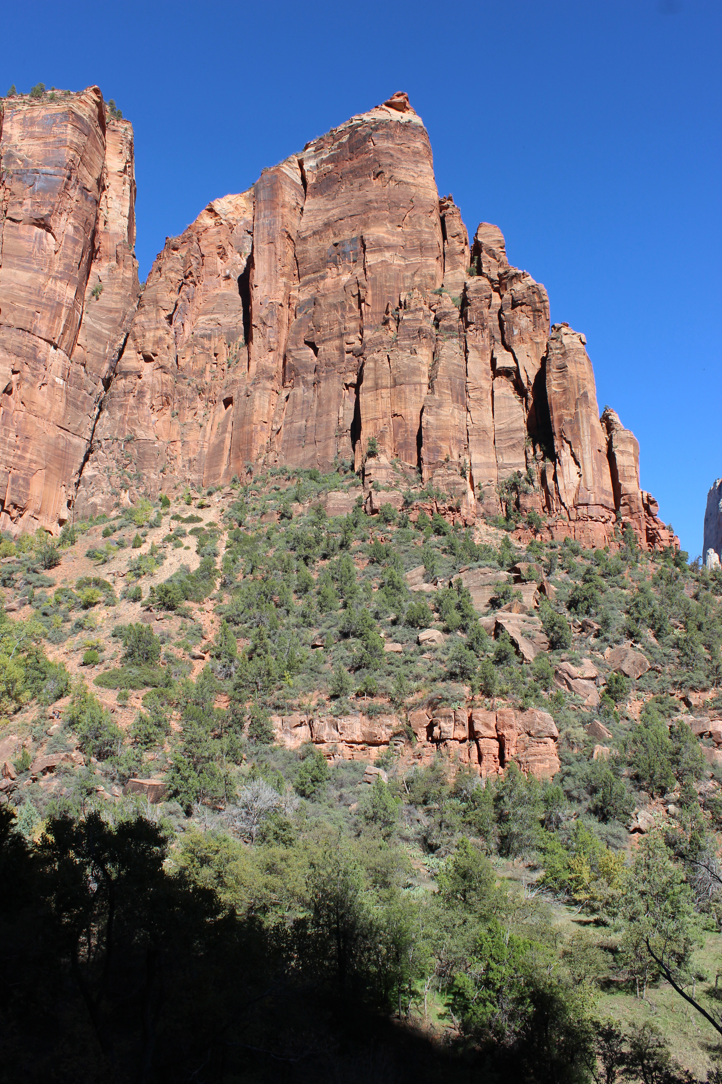
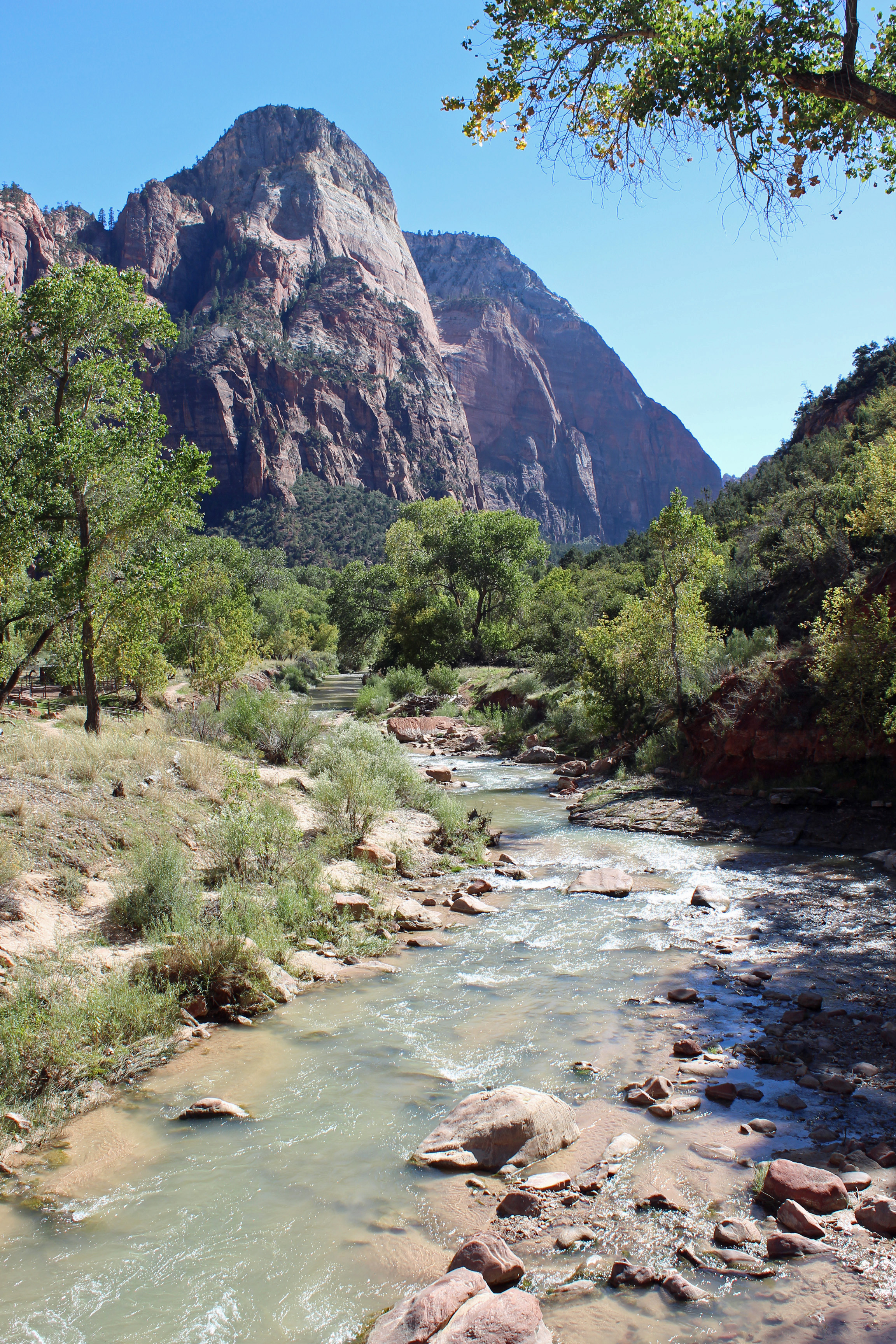
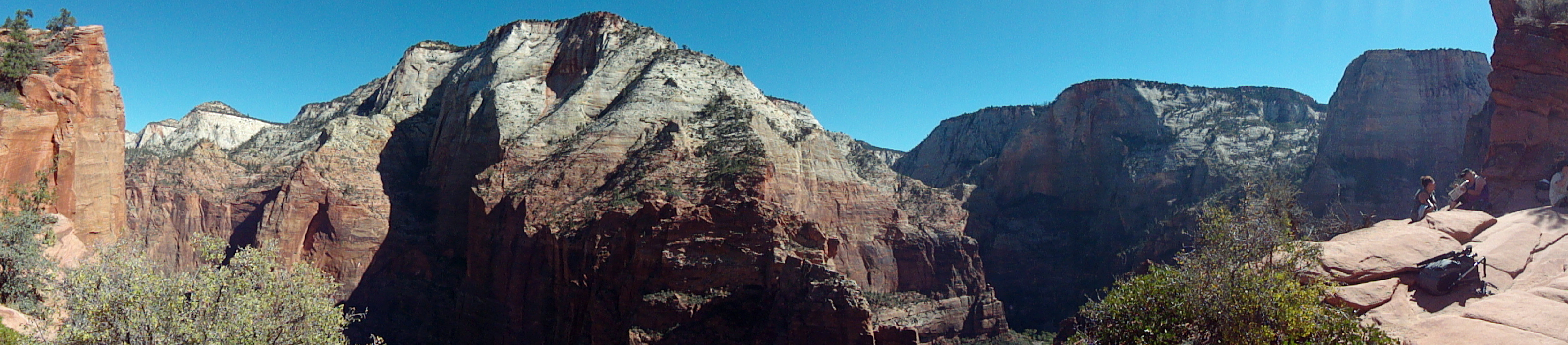
We traveled to Zion National Park, known earlier to the Paiute Indians as Mukuntuweap, meaning canyon or “straight up land’. It sure is a fitting description. In an earlier post I said that Arches has the most dramatic entrance, but I must amend that to say that once you start into the Zion Canyon, it truly is an amazing entrance. You are surrounded by sheer canyon walls of red Navajo sandstone that blend into grey and white sandstone, sometimes capped by another layer of red Temple Cap. This is the canyon of the Virgin River, which has carved out this land of canyons and cliffs.

Virgin River
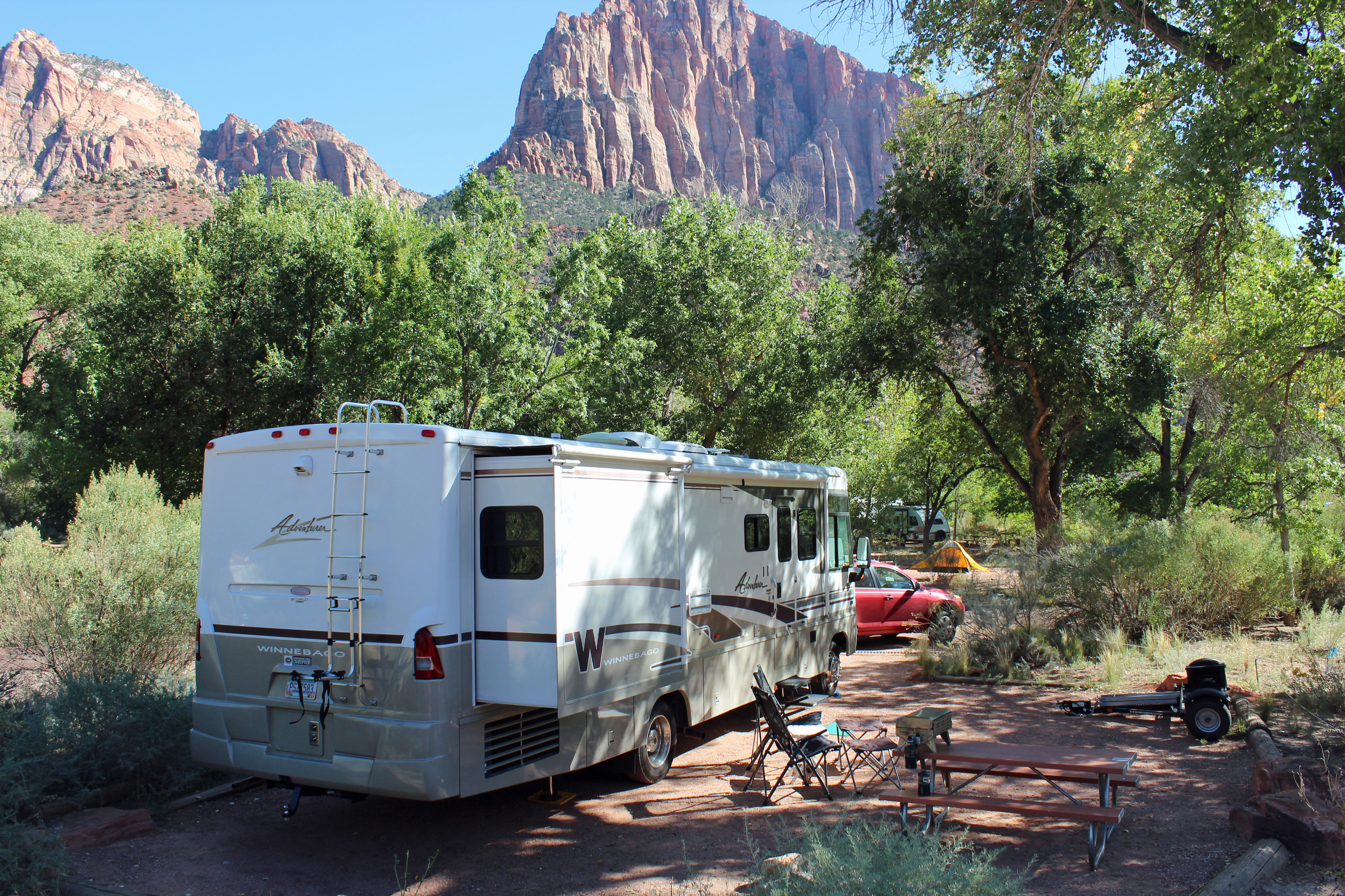
I feel our whole trip has been leading up to this visit. There were several personal bests and lifetime achievements for us in this park. But first, let me set the scene for you. Driving to the entrance of the park, which is really a huge single canyon with one Scenic Drive that dead-ends into the park, you go through the cute town of Springdale. Watchman campground is where we stayed, and it sat on one side of the Virgin River and Springdale sat on the other, both surrounded by the canyon walls. Our site was level and shaded from the afternoon sun and sat alongside the river, with a cute motel on the other side. A sidewalk/bike path ran along the river next to our site, so this whole idea of a wilderness camping experience was at odds with folks strolling down the sidewalk beside us and a raucous crowd with DJ on Sunday night just down from the motel. Ok, it was still pretty cool.

Campsite with Watchman in distance

Watchman in the late evening sun

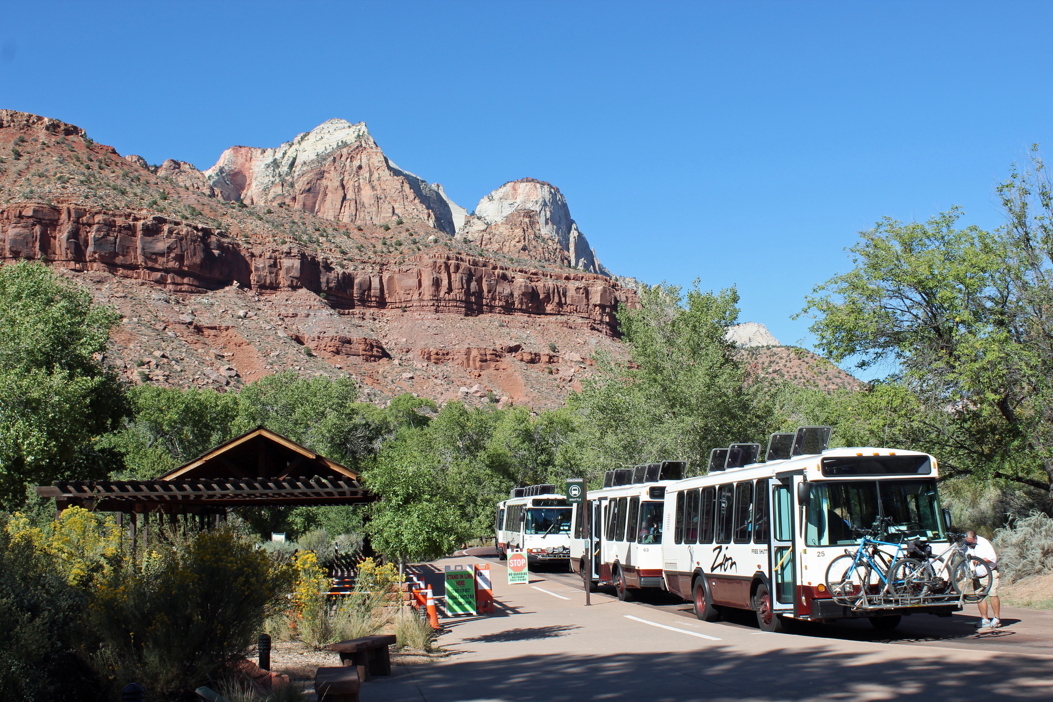
Shuttle for the park
Due to the crowds (18,000 or more a day), the park service operates a shuttle up and down the Scenic Drive, with 8 stops at trailheads and overlooks. Well run and worked fine. We could walk to the Visitor’s Center from our campsite and hop on the shuttle to our destination no problem.

The start up Angel’s Landing
Ok, Day One and we notice that one of the trails would be closed for maintenance Tuesday and Wednesday, so since it was Monday, we put that one as a priority. Zion has two of the most highly rated hikes in the entire National Park System: Angel’s Landing and The Narrows. Angel’s Landing it was, so we packed water, snacks and put on the hiking shoes and layers of clothes and off we went. It started out in the 50’s, but by the end of our hike it was about 90, so most of our layers went into the backpack.
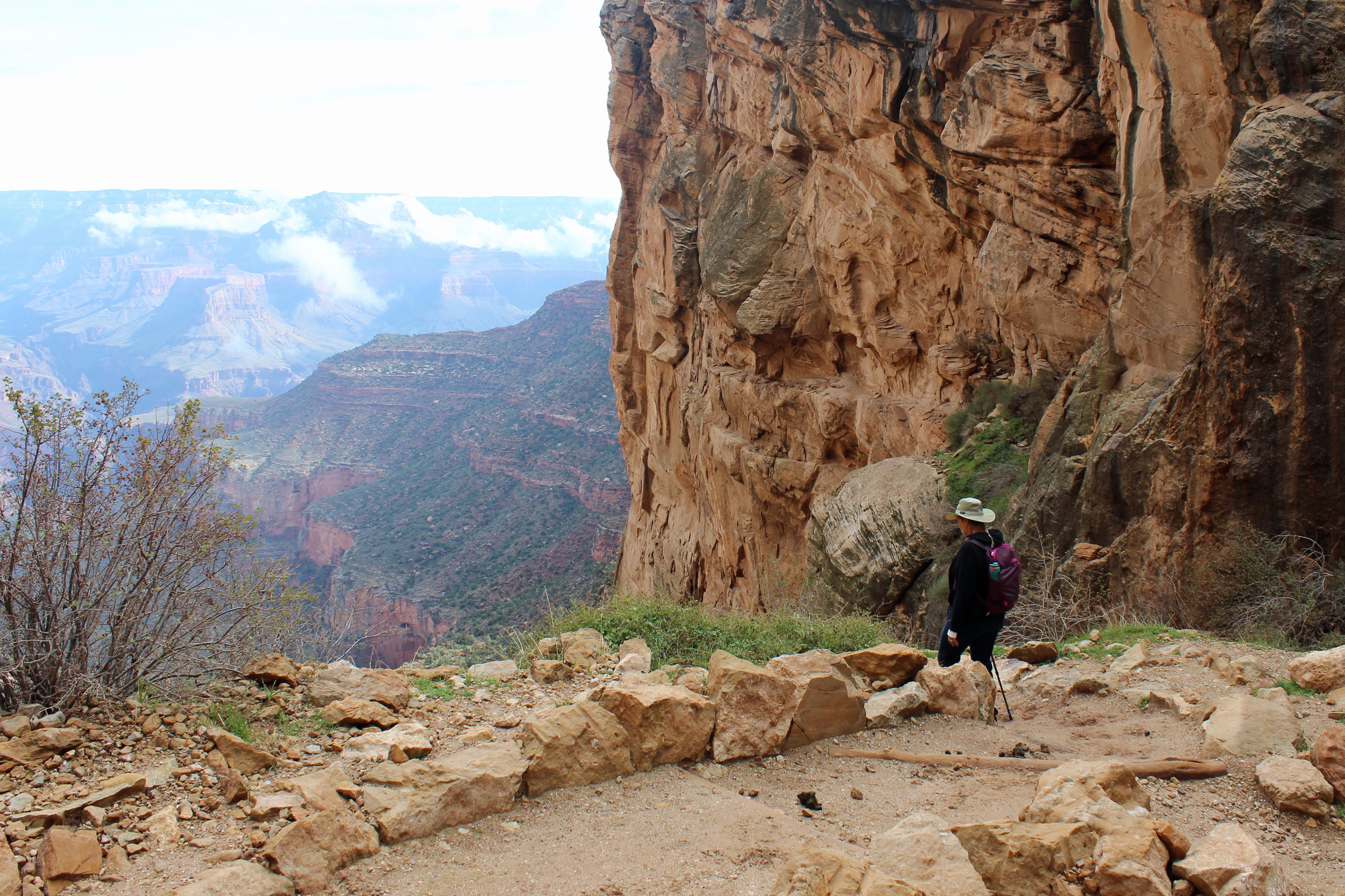
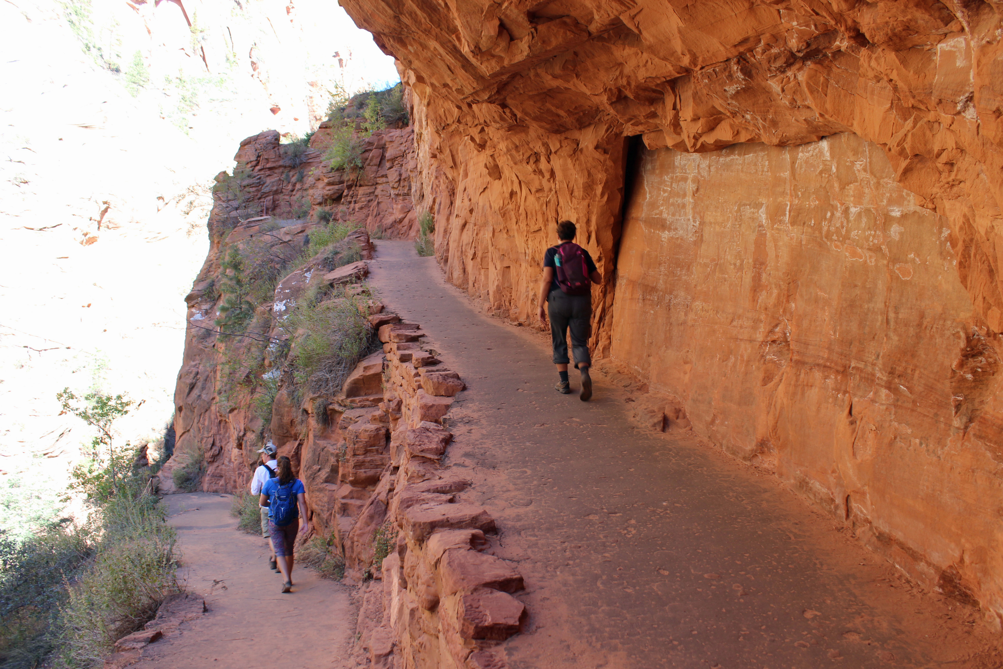
Angel’s landing starts out as a meandering trail that nudges upward – and is nicely paved and easy walking. You then have a view of this cliff face and notice these little people on switchbacks and traverses and wonder “is that where we are headed?” Yes, you are. You might be able to pick out a few folks on the angled cut across the sandstone slab in this picture.

Switchbacks – look closely at the cut across the sandstone for the trail.
It is a rise in elevation of 1,500 feet for the hike. It is rated at about 6 miles round-trip, but we clocked closer to 8 miles.

Taking a breather.
Once you finish those first switchbacks and that slash across the sandstone you turn into Refrigerator Canyon (and man was it a welcome cool, breezy walk in that canyon). Not so bad, until you hit Walter’s Wiggles. These are I think 11 short switchbacks built into the canyon to let you get to the summit.

Switchbacks in Refrigerator Canyon

Walter’s Wiggles – can you see down the switchbacks?
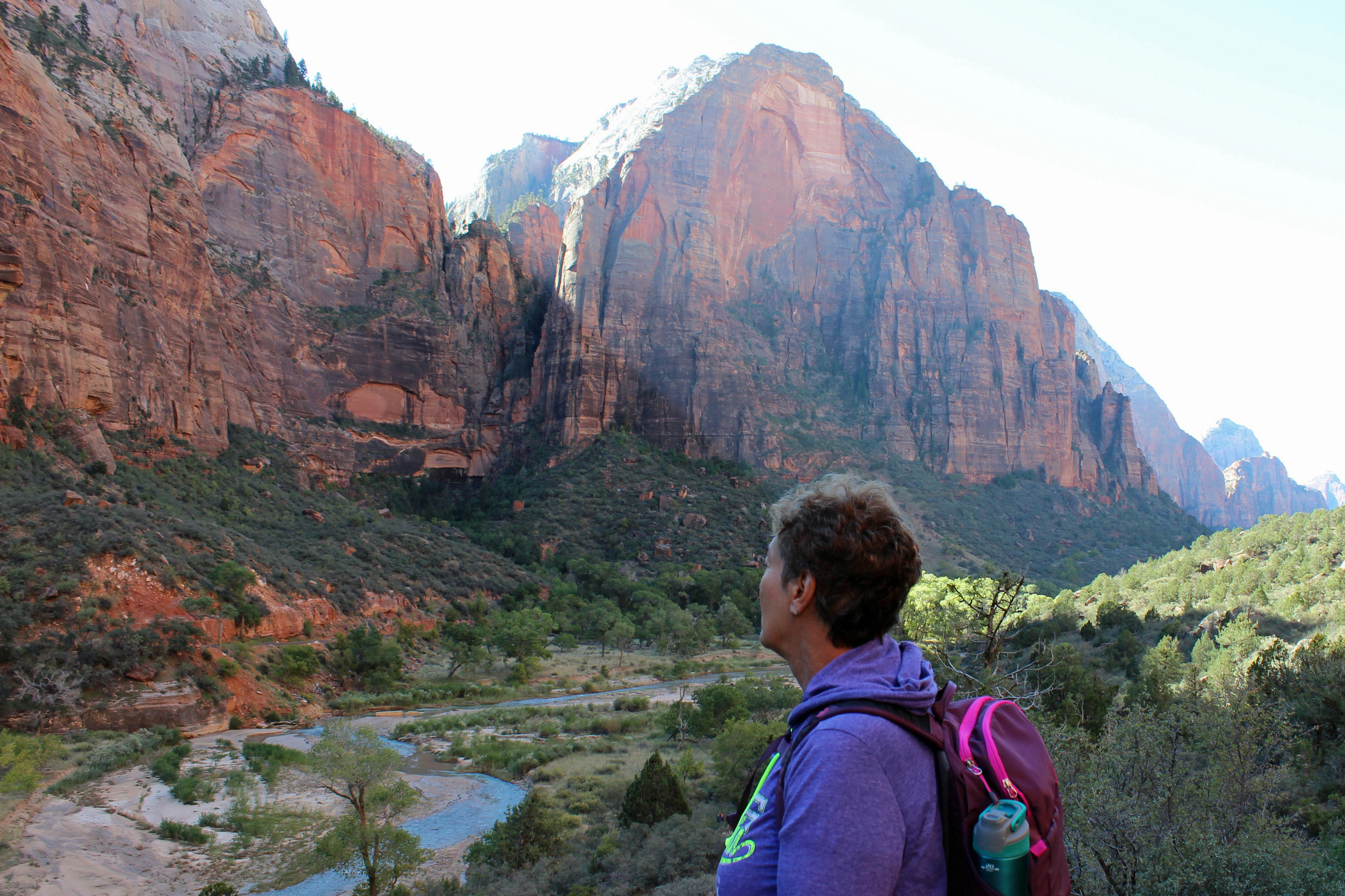
Once you master those, suddenly you are on what seems like base camp or something. Folks are spread out all over Scout Observation point, where you can look down into the canyon. Now, understand, you are not alone in this hike. People are passing you, forward and back, taking selfies, dragging kids, toting infants (seriously, we saw several 2 – 4 month babies in packs)…. It was strange.

View from the top.
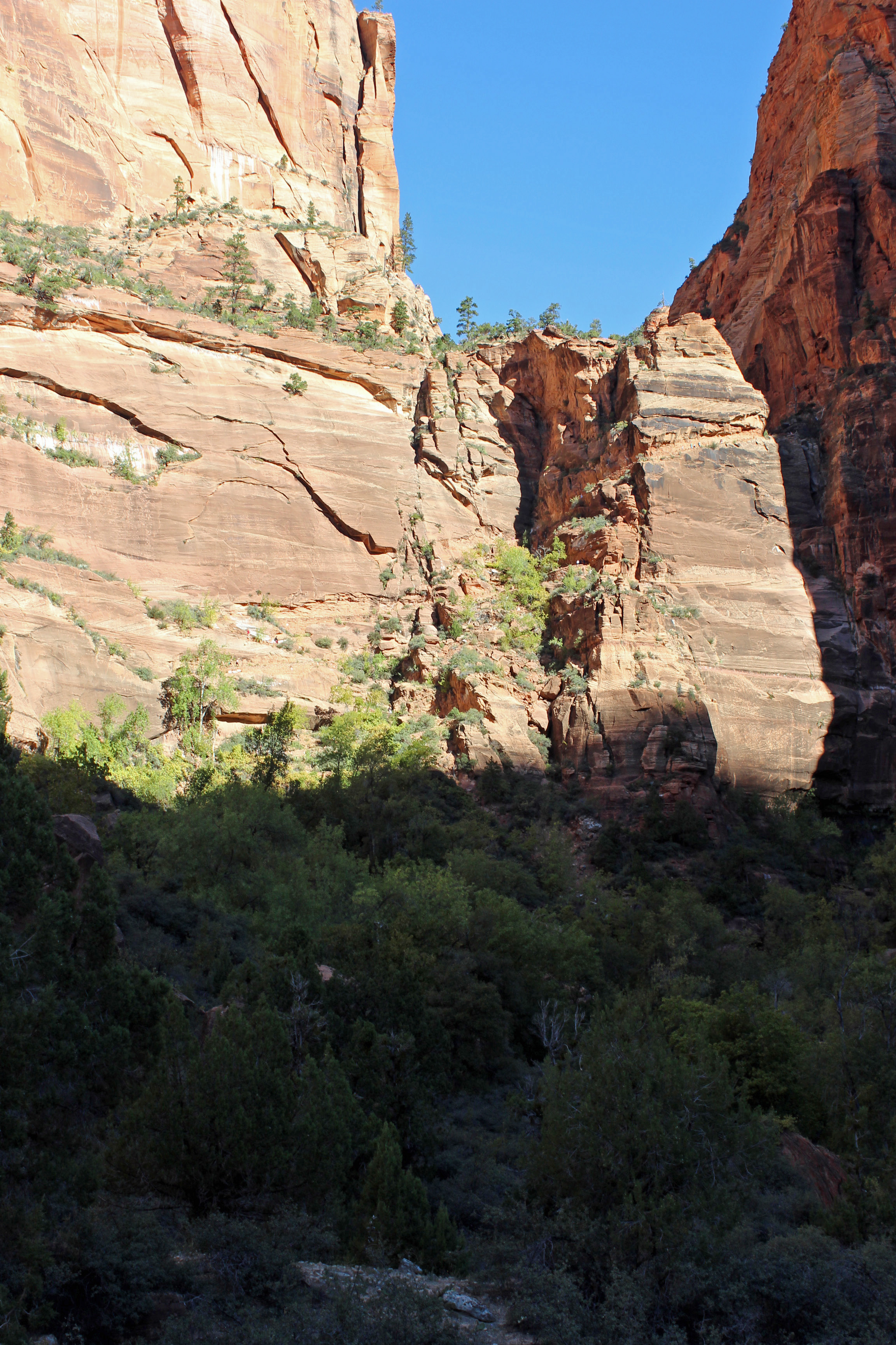
Ok, so now the serious stuff starts. From here to the summit, about a half mile, you are on sheer rock with a chain grip to follow along. We started up, slowly, with the sun in our eyes and way too many people in front and in back. We probably got a third of the way and decided it was just too busy and turned back. But we did the climb and felt exhilarated. What a hike!

The final climb using chains as guides.

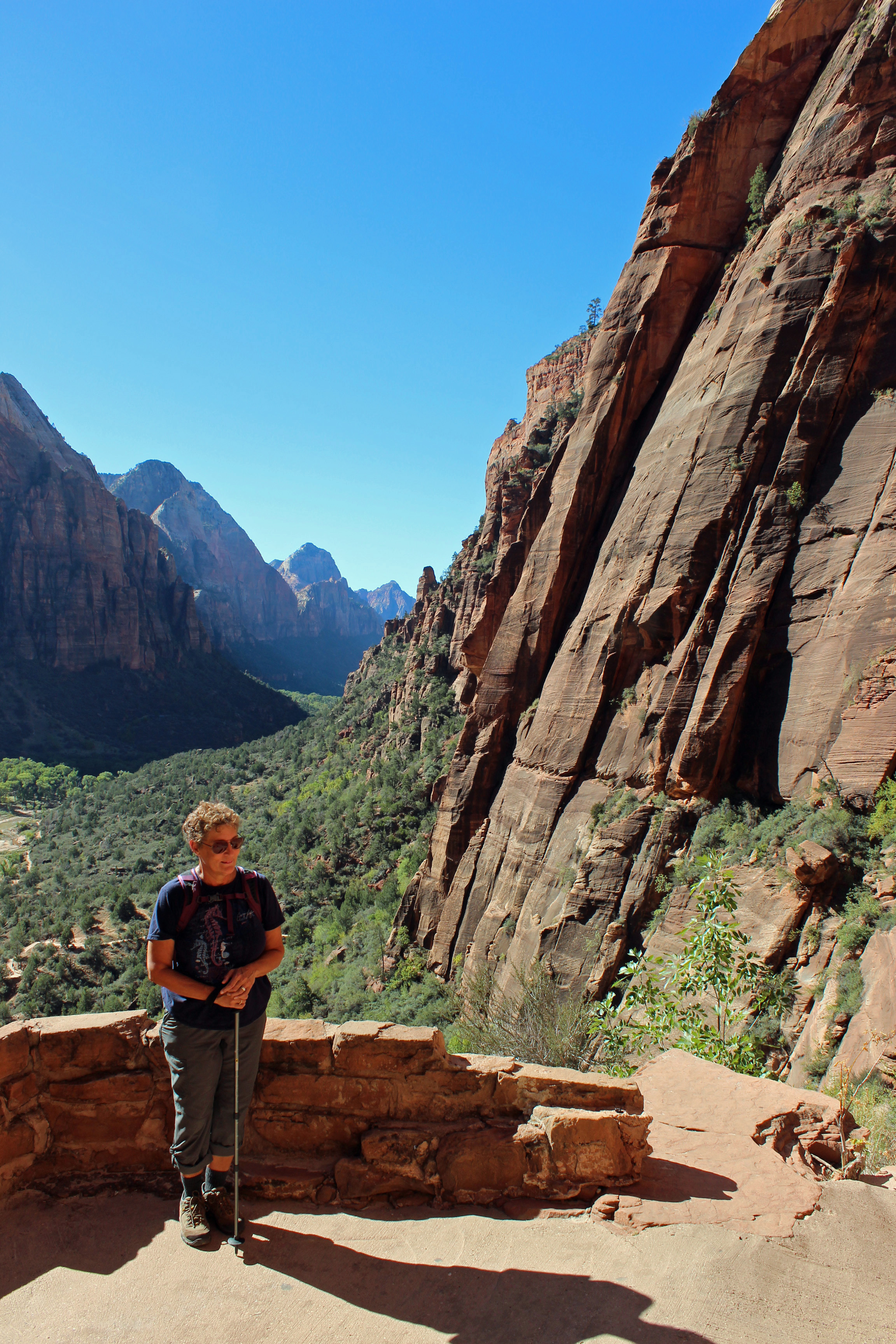
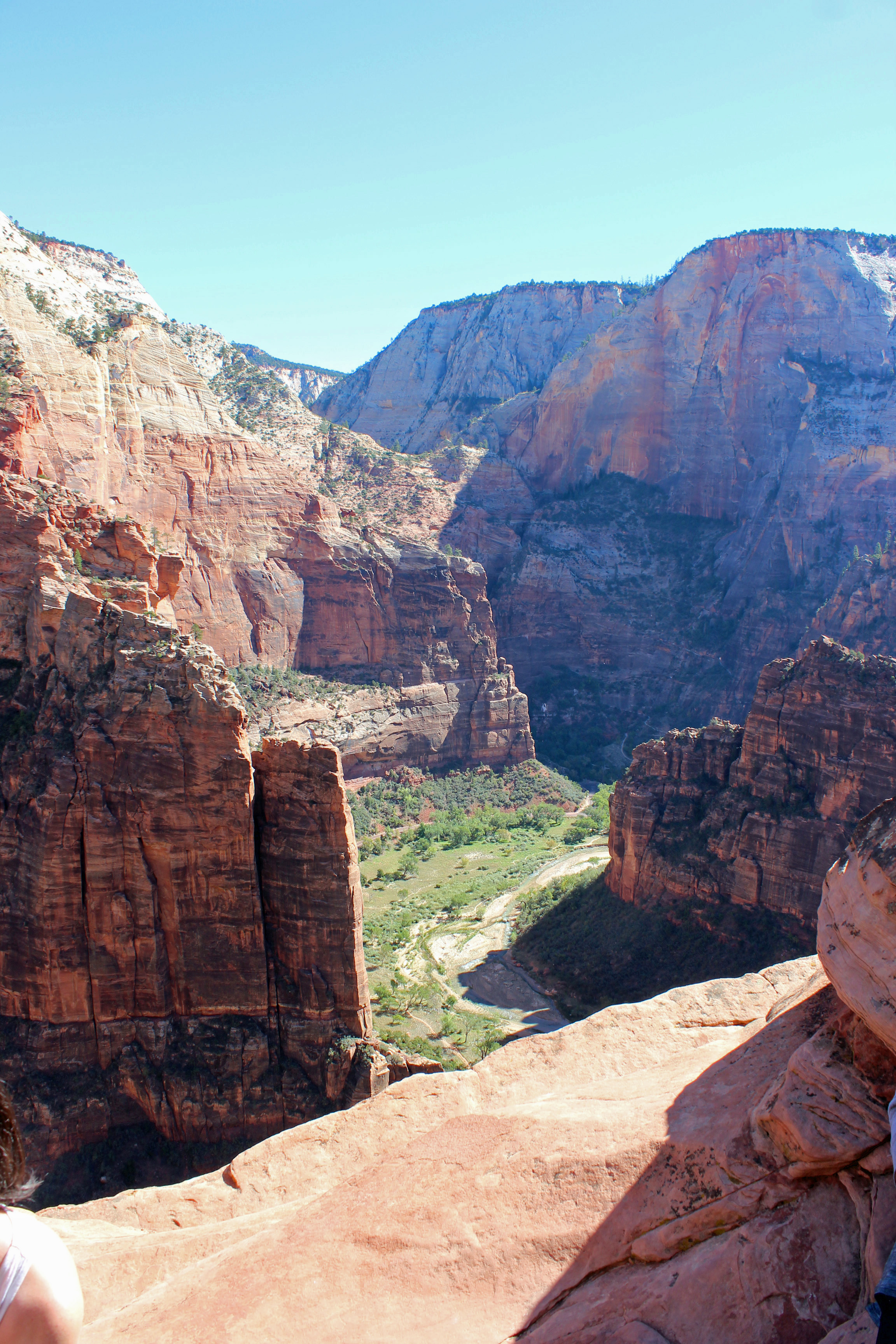
The view from 1,500 ft. down to Horseshoe Bend in the canyon.

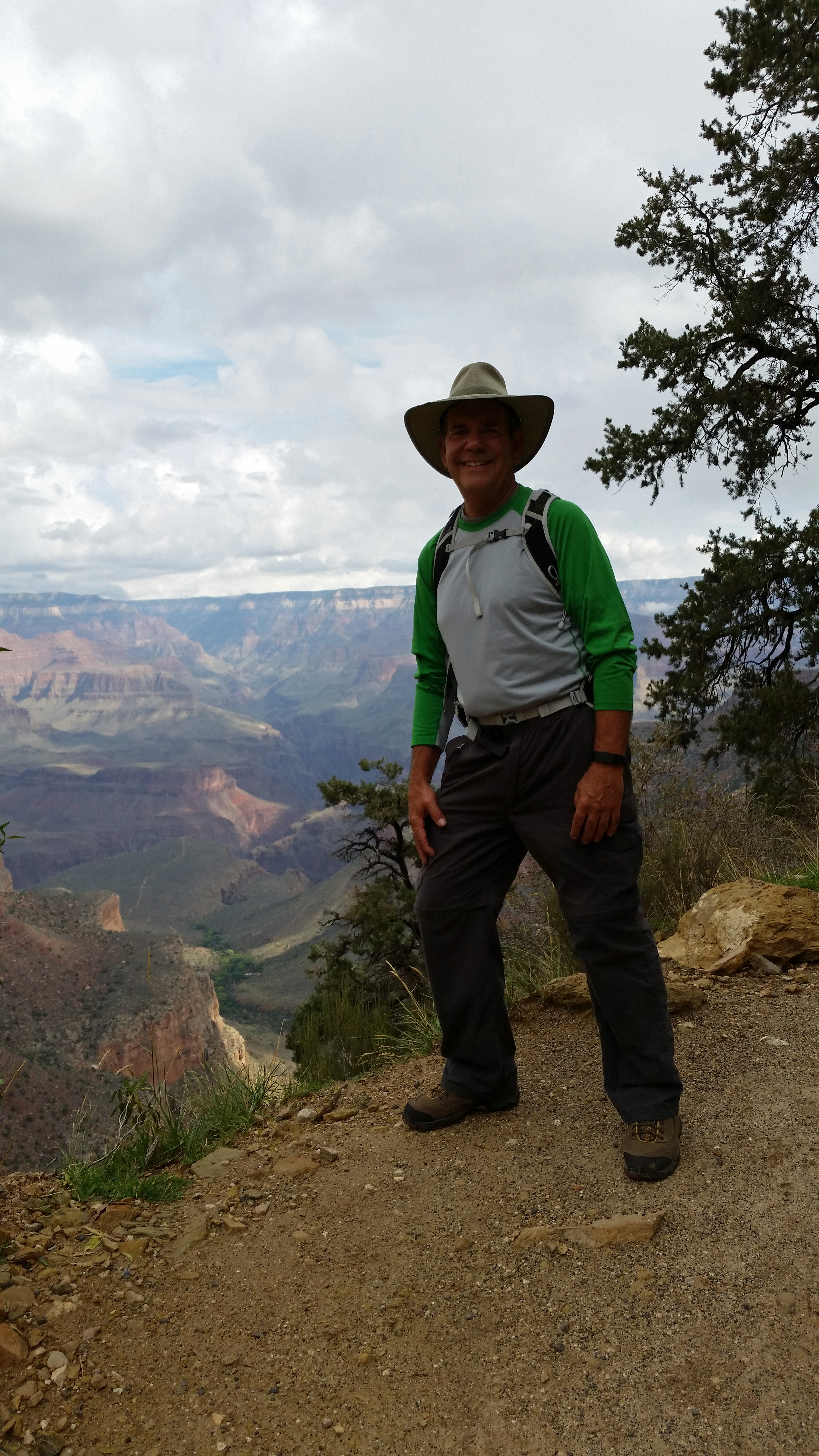
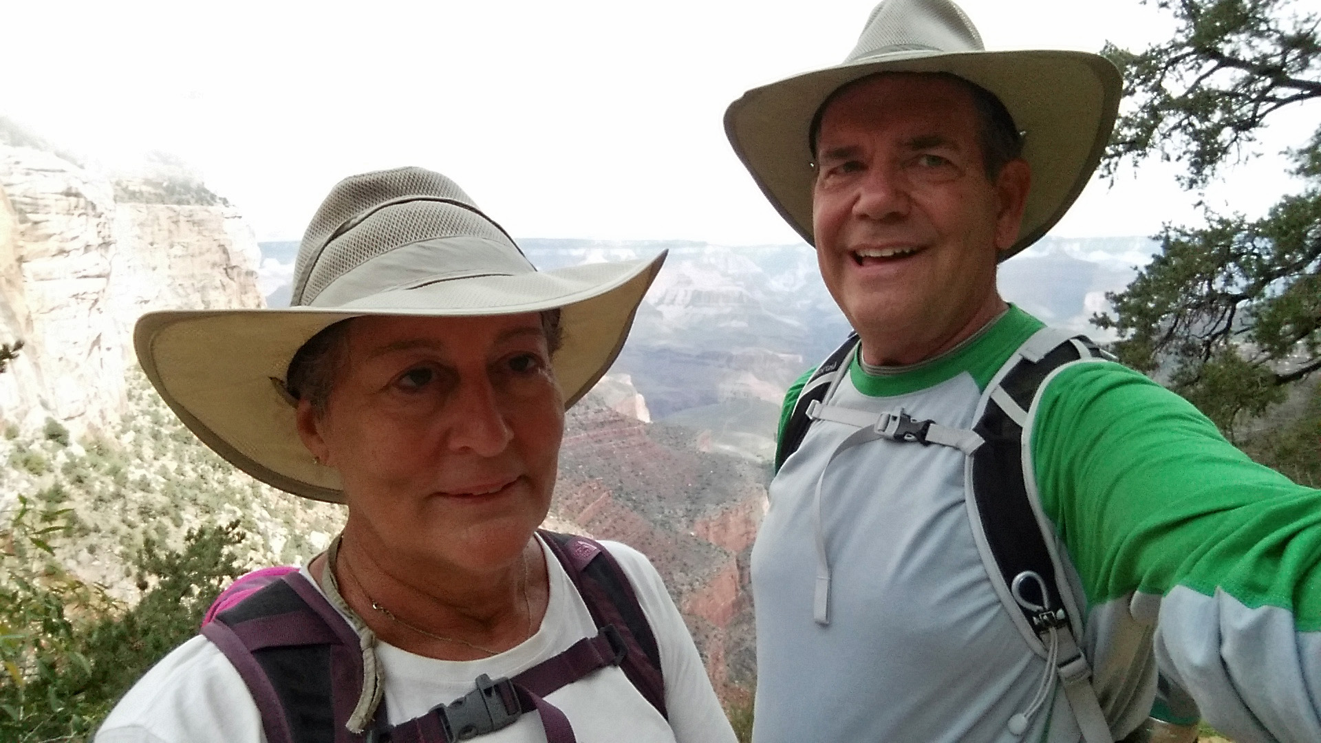
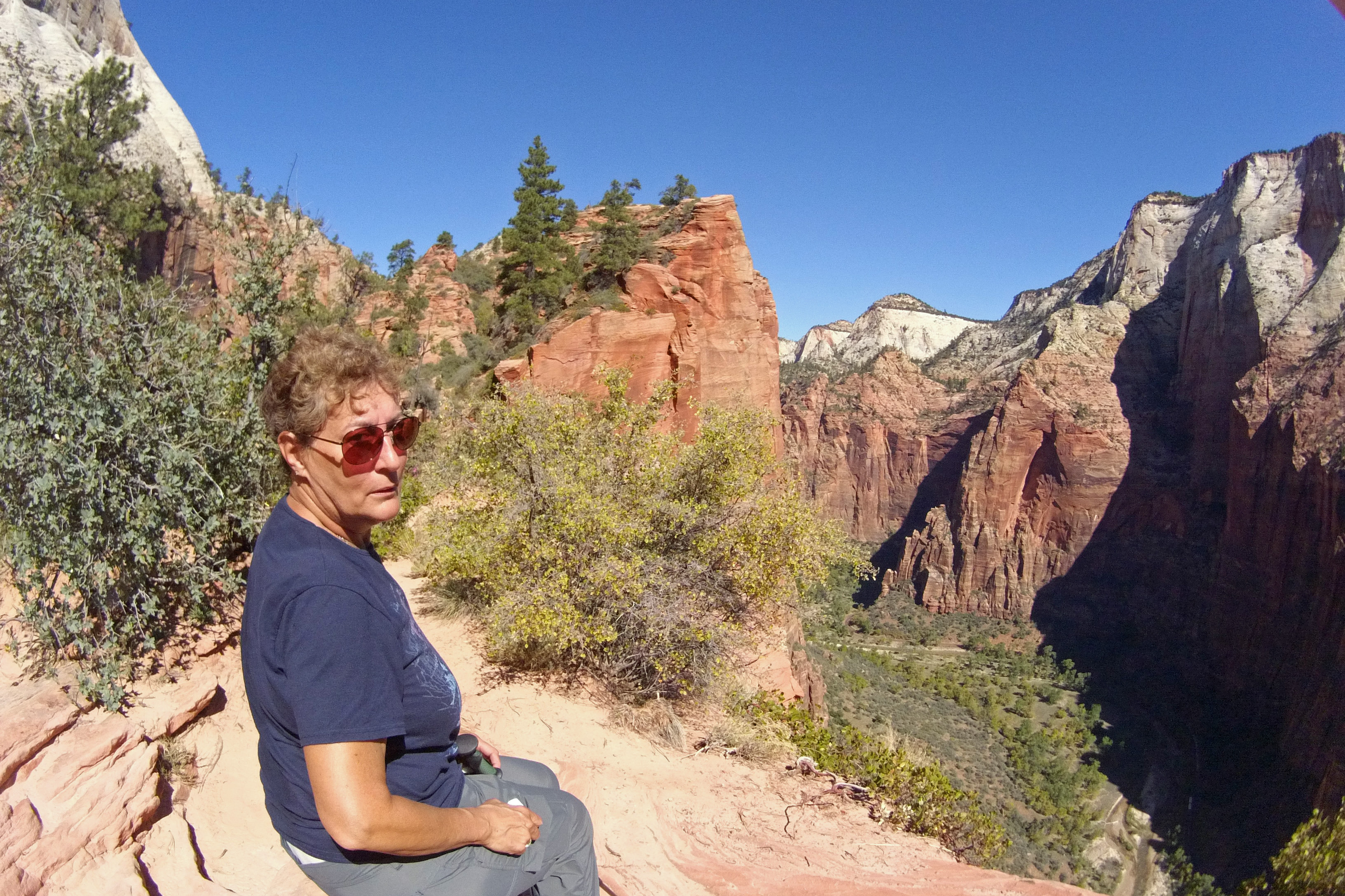
Jackie at the edge at Angel’s Landing

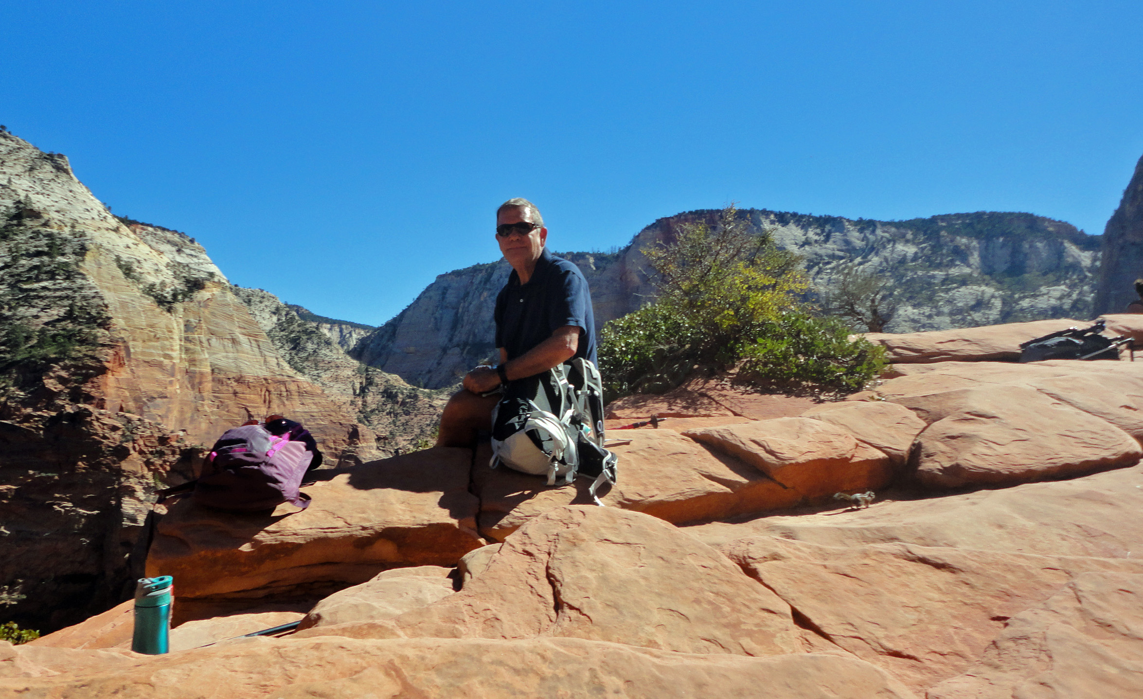
Doug at Angel’s Landing

The view from Angel’s Landing, 1500 feet up.

Heading back down the main switchbacks.
Of course we had to add a few more short hikes on the way back to camp.

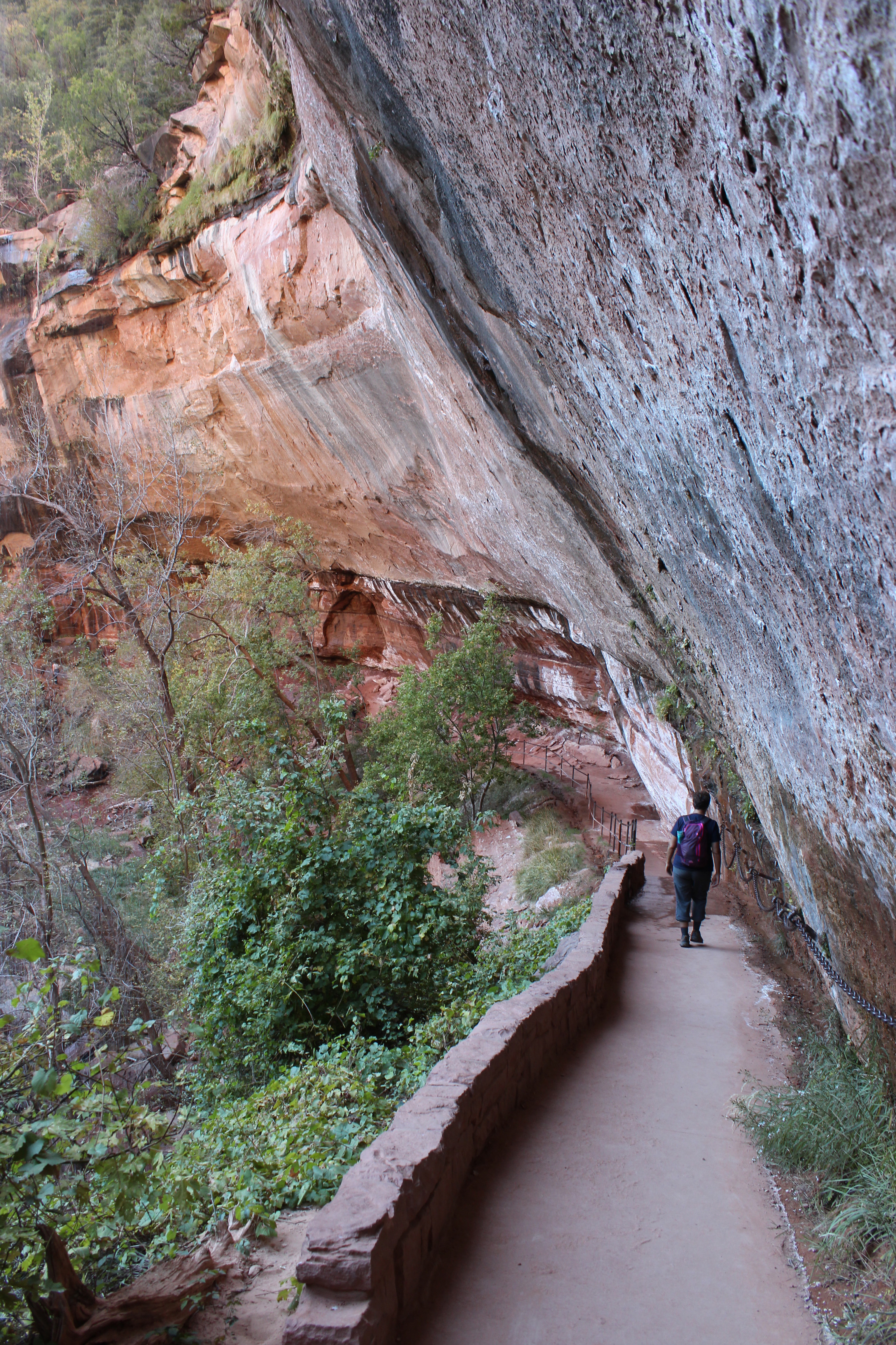
Water dripping over to Lower Emerald Pool.

Lower Emerald Pool – cool, wet overhang.

Another shot of the water cascade – can you see it?
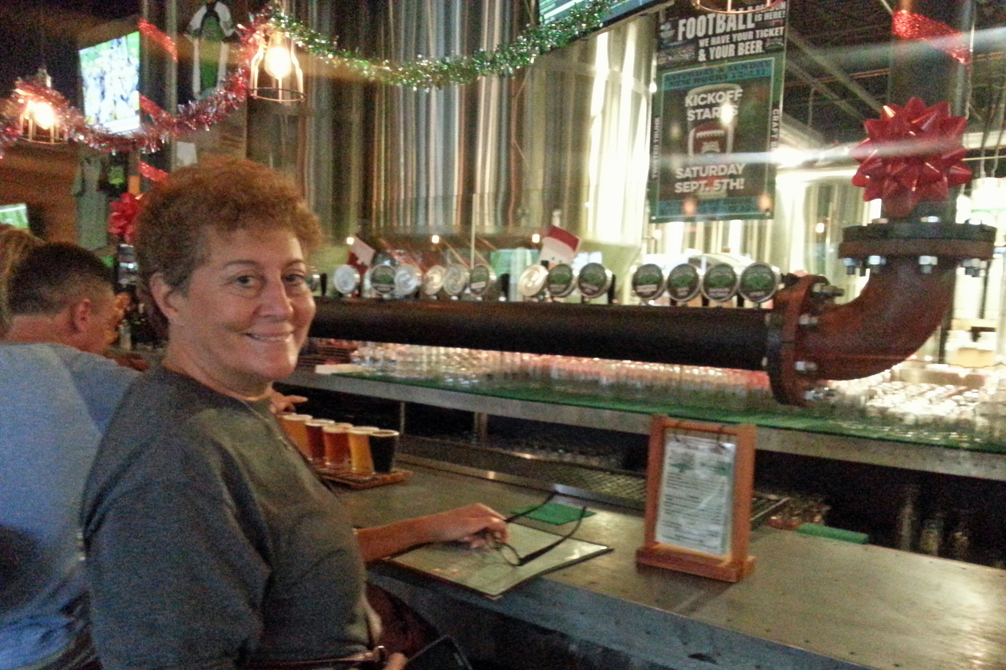
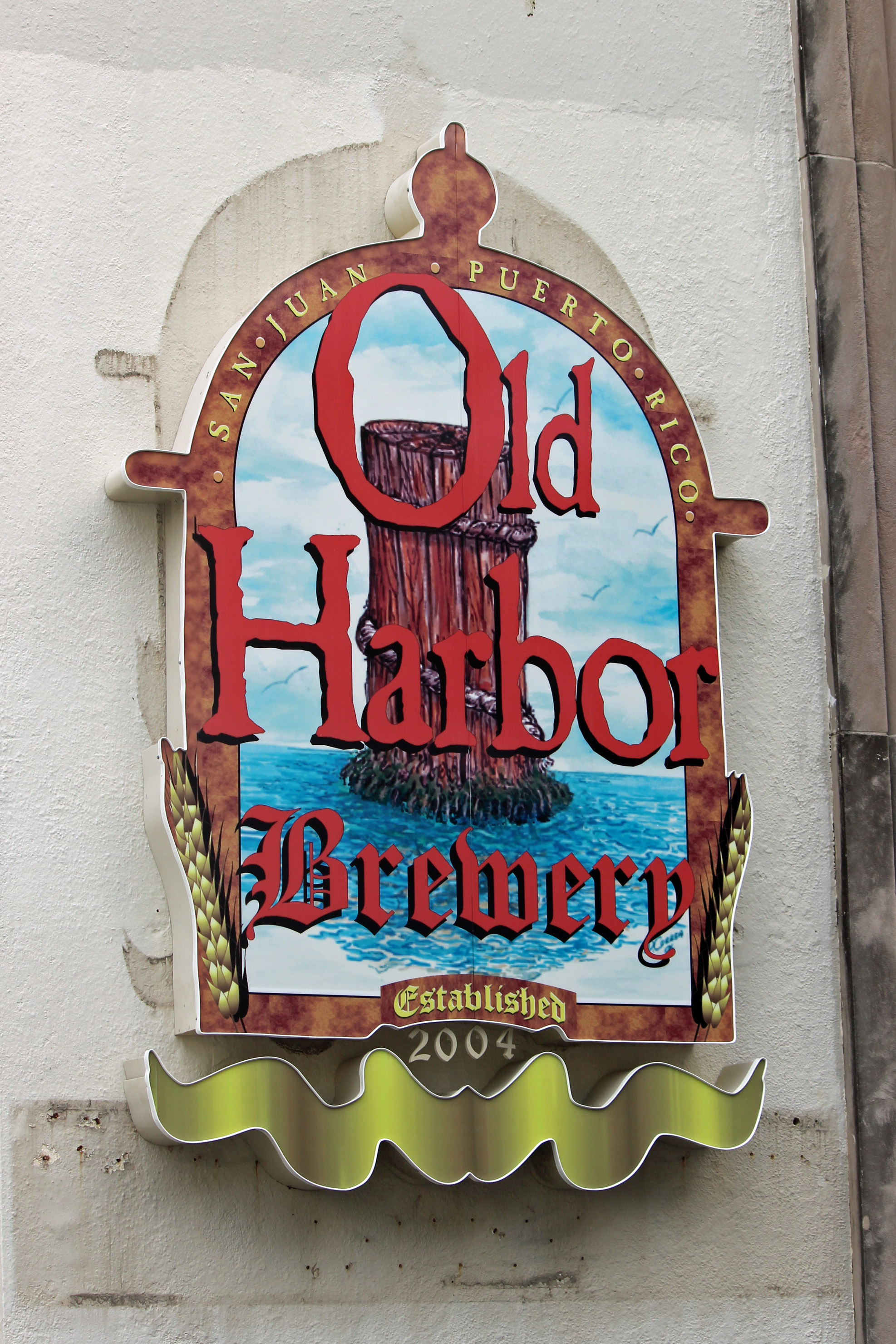
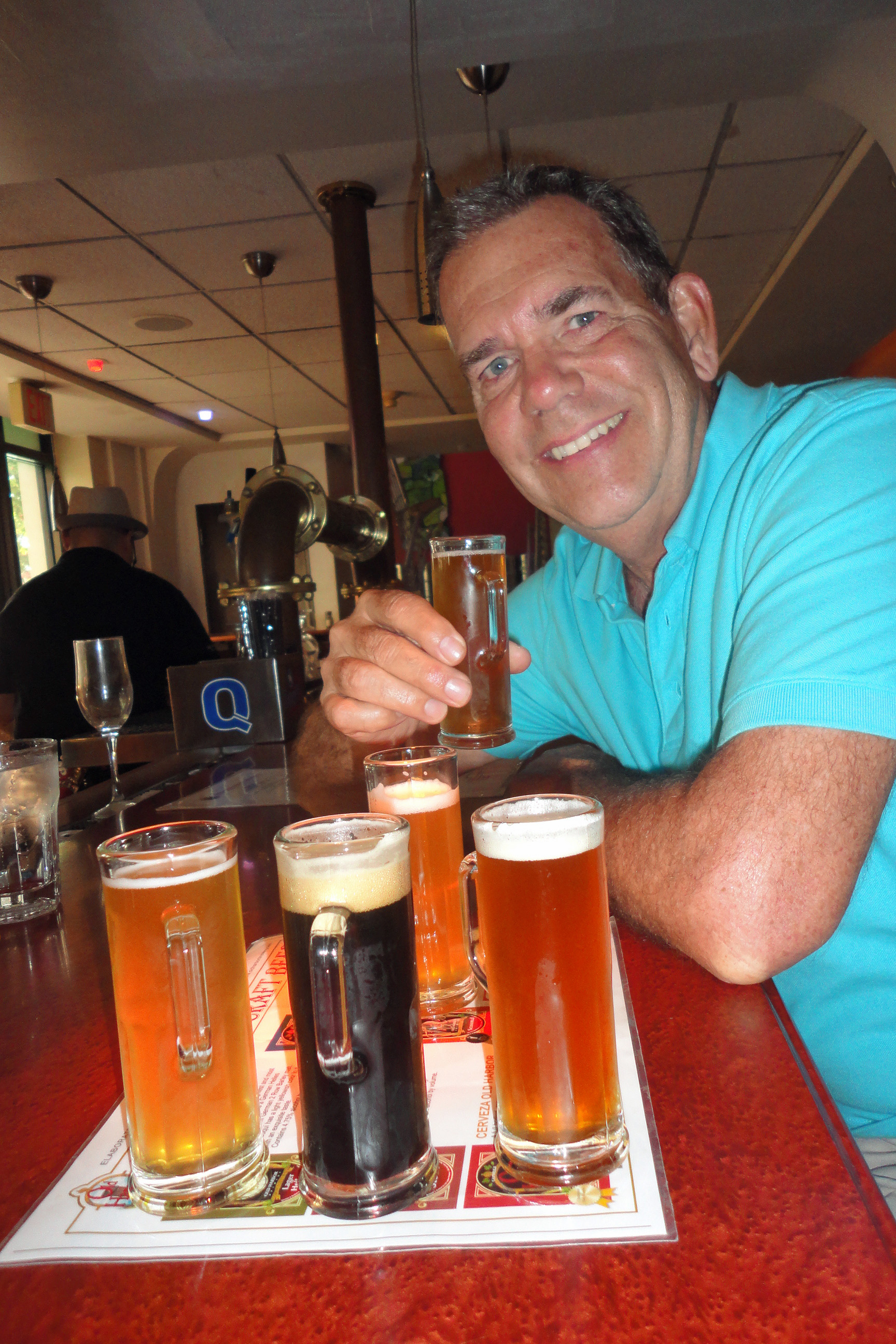
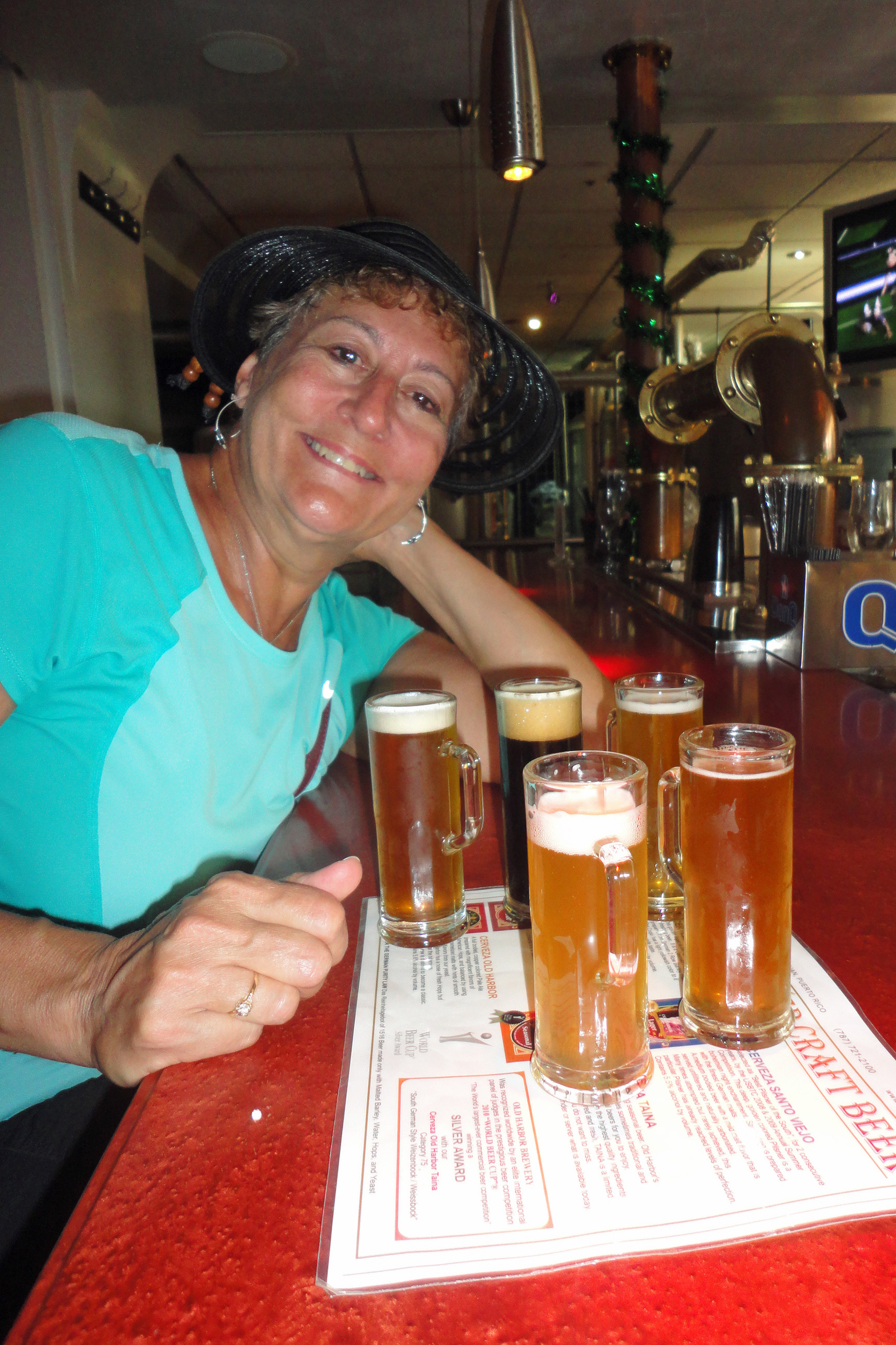
Oh, and our favorite watering hole happened to be just across the river from us, a short walk or bike ride to Zion Canyon Brewery. So there we relaxed at the end of each day, sipping a sampling of their brews (even tho Utah keeps the alcohol content low) with these great pretzel/breadsticks to dip into Jalapeno Beer Cheese (Utah also requires you order food with your beer), and looking across at the Watchman cliff formation.
Stargazing at night was wonderful – just like at North Rim we could see the Milky Way and shooting stars.

A sort of “base camp” for everyone to get ready.
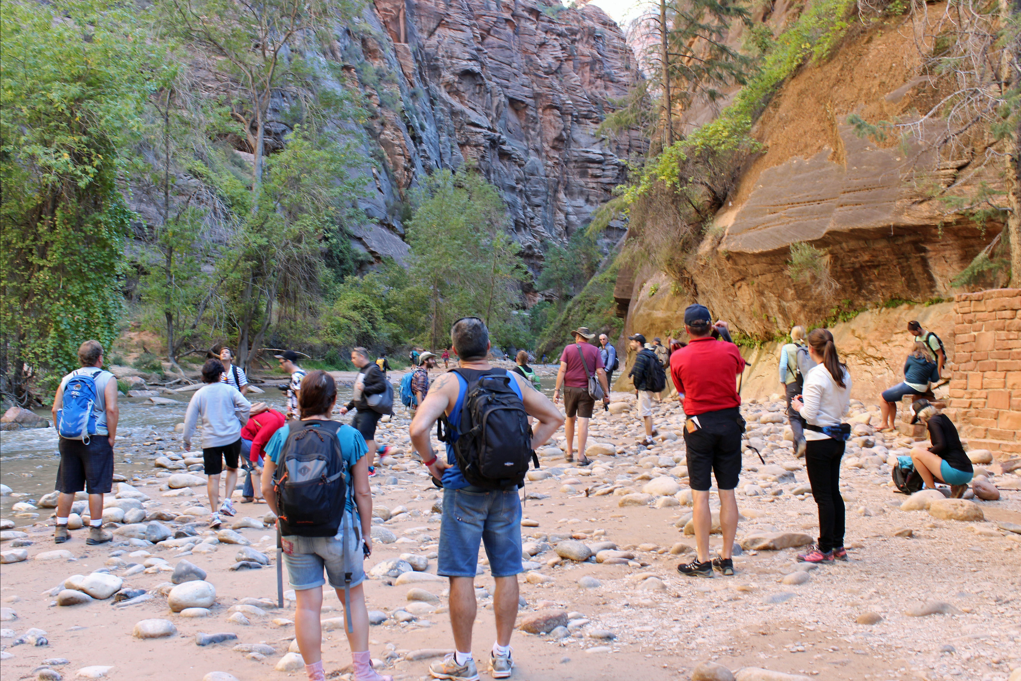
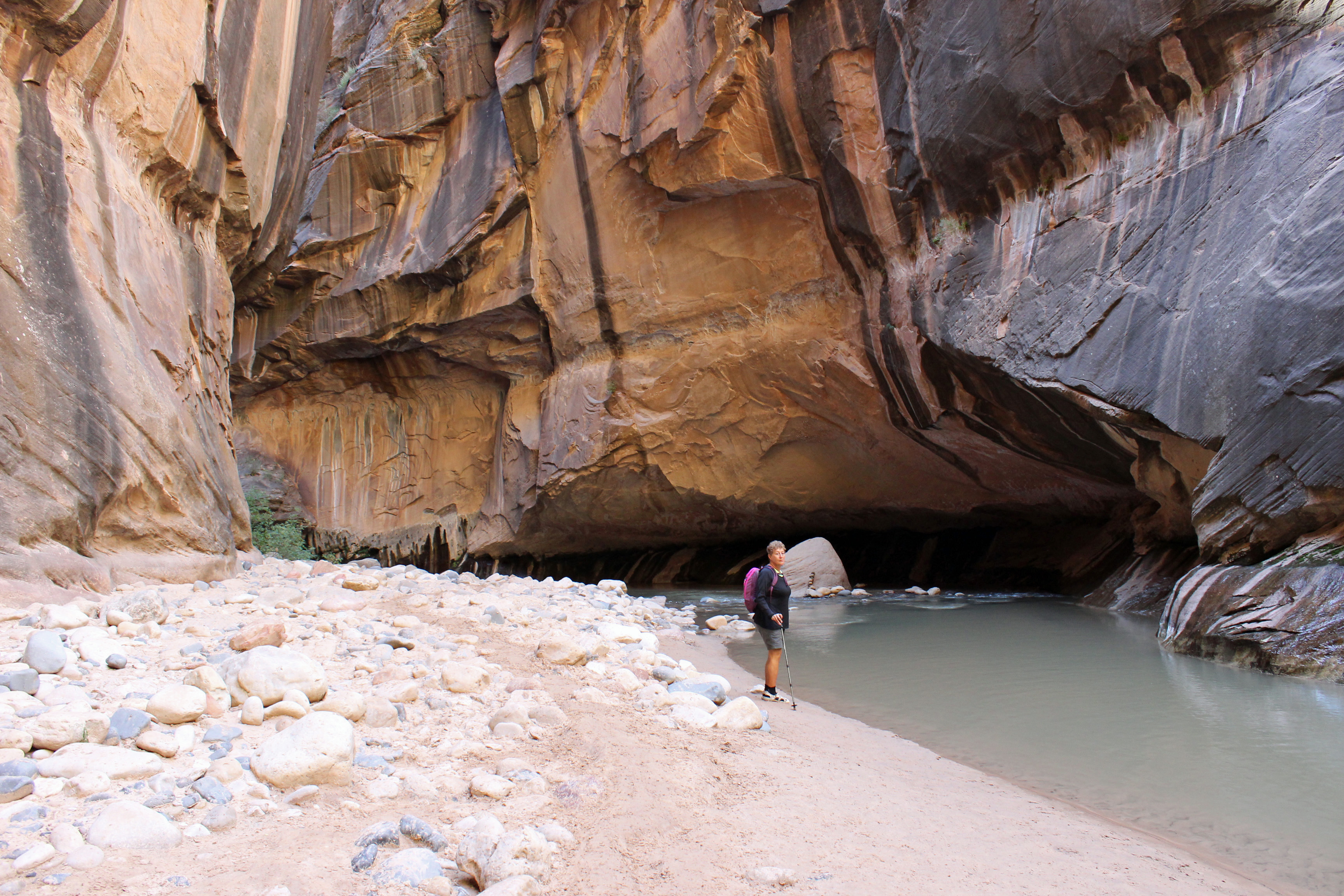
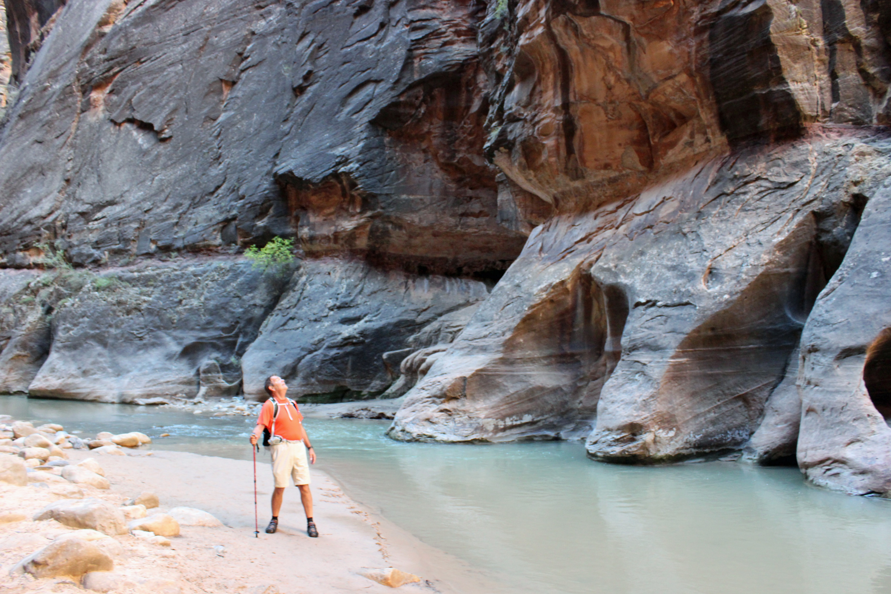
Day Two had another major hike in the works: The Narrows. This hike is along and then in the Virgin River, which is about 55 degrees, mostly about knee deep to waist deep and filled with rounded river cobbles and sand. I have been reading up on it since we planned the trip and wasn’t sure if we could do it. We bought some wetsuit socks for the trip and took those with our hiking sandals, water, snacks and camera and lightweight clothes and off we went. The Narrows is at the far end of the Scenic Drive and the first section is a paved walkway along the river. Lots of folks, a few wheelchairs and walkers and all those Chinese tourists accompanied us to the point where everyone stops and gets ready for the hike in the water. Actually, it seems there are lots more folks from Germany, judging from the accents we hear. Exchange rate must be good.

Who me? Cold? Not!

The river IS the trail.

Narrows canyons

Narrows canyons

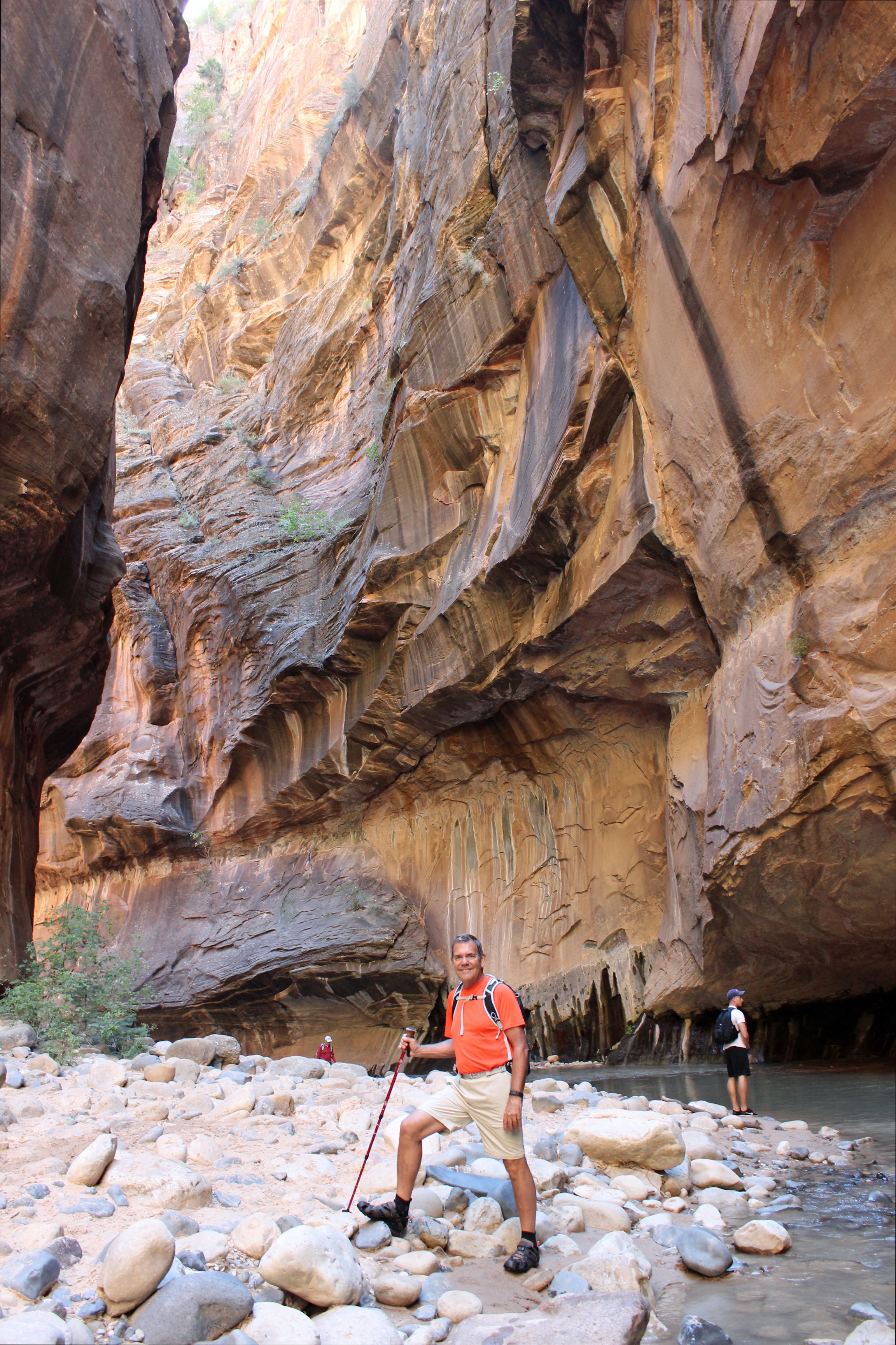
Best views ever.

Best Day Ever!
BEST DAY EVER! Seriously. The walk through this river was a sense of discovery, as you slipped around each bend in the canyon walls to see what lies ahead. Red ripples of stone all the way to the sky and a foaming blue-green water carpet that you walked across – just breathtaking. There were places where water spilled down the walls and you had hanging gardens of maidenhair ferns, other spots where you had to think twice before crossing the stream and places where the sun would shine down and you would stop to warm up. Yes, the air temperature was pleasantly cool, the water cold, but not unbearable. We hiked in as far as 2 – 3 hours took us, probably 4 miles in. You can hike in about 9 miles, but we figured we could call it a day.
Then as we turned back we passed a couple we met the day before at our brewpub watering hole. Delightful couple from the UK doing many of the same parks as we were. We shared some of the day’s experiences and then headed downstream to the jumping off point. Changed socks for a dry pair of wools and finished the riverside walk, took the shuttle to the Visitor’s Center, bought the t-shirts and crashed at camp (oh, yeah and the watering hole first).

The Narrows of the Virgin River

The Narrows of the Virgin River
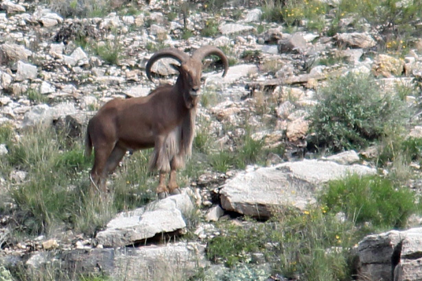
Not much wildlife to speak of, we did see the most dangerous creature in the park: rock squirrels. They have a tendency to bite folks who feed them. And we learned their fleas carry the Bubonic Plague, so maybe not so cute after all. We were told it was mating season for tarantulas, who were supposed to be wandering all over the place, but we didn’t see any. No Bighorn Sheep (oh they are on the Eastern side of the park…).
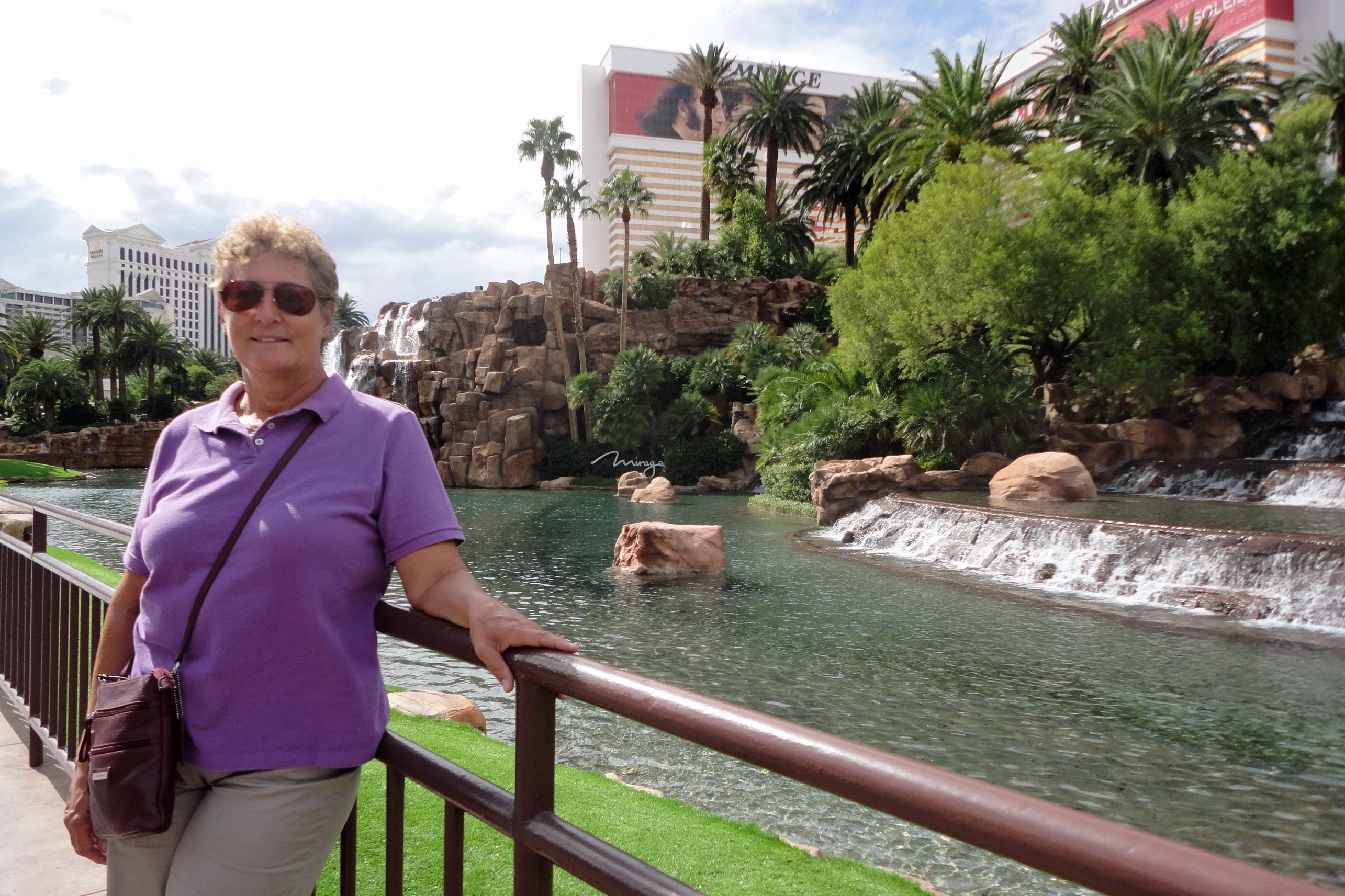
I am actually writing this from our next destination: Las Vegas, since wifi and cell service have been very unreliable and not always available – and it takes about 2 – 3 hours to sort through pictures, write and upload the blog. More about the adventure in Las Vegas in the next post. Hint: another brewpub is discovered.


Comments