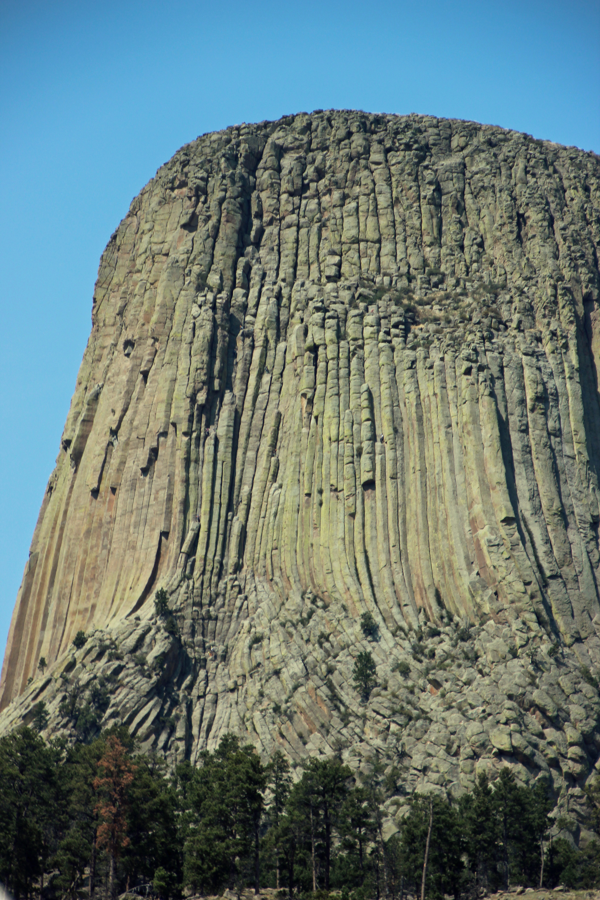
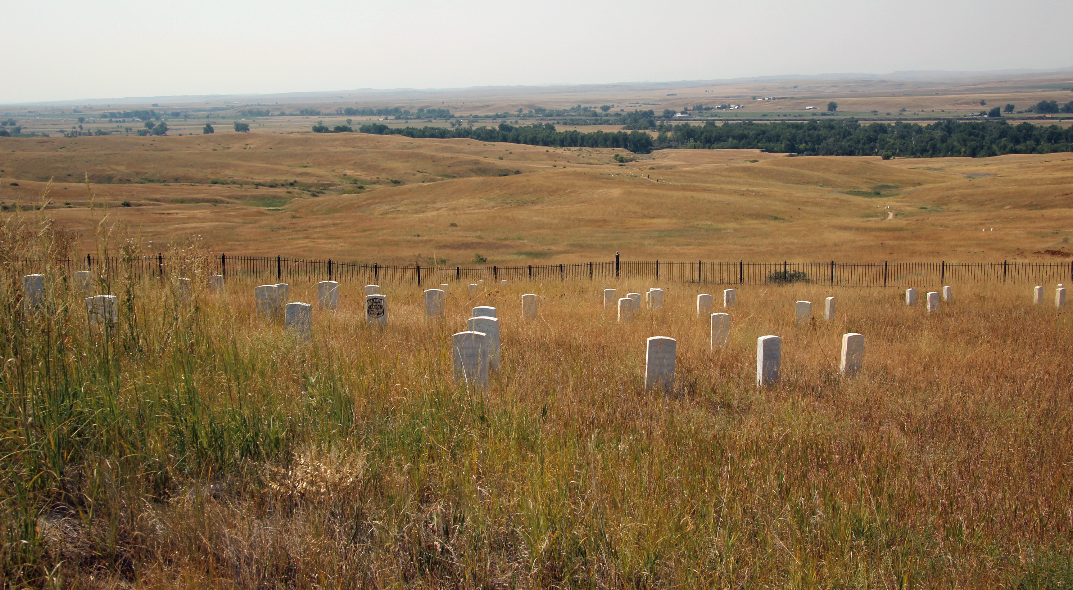
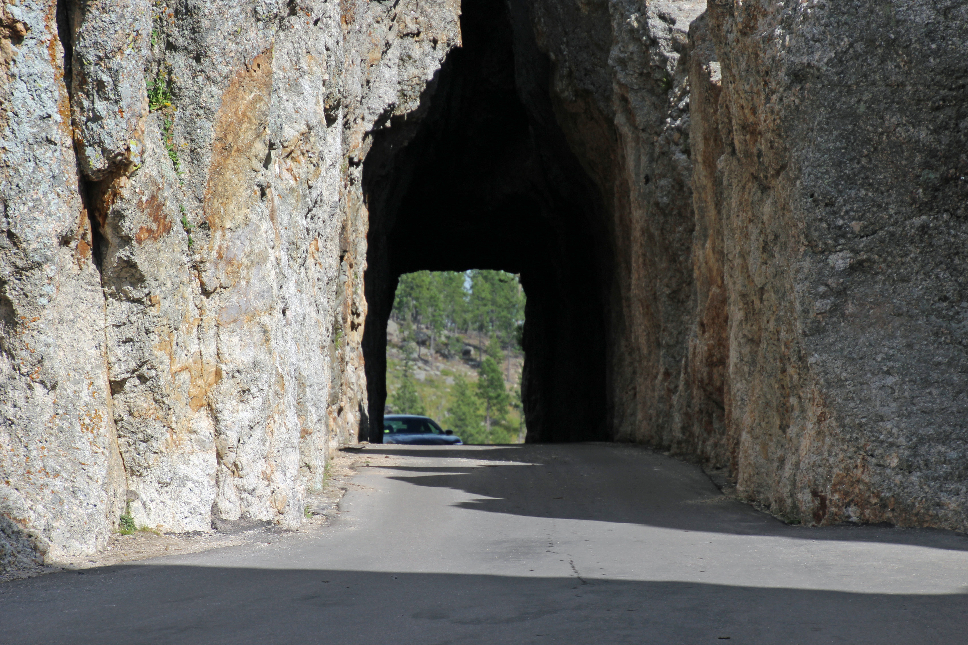
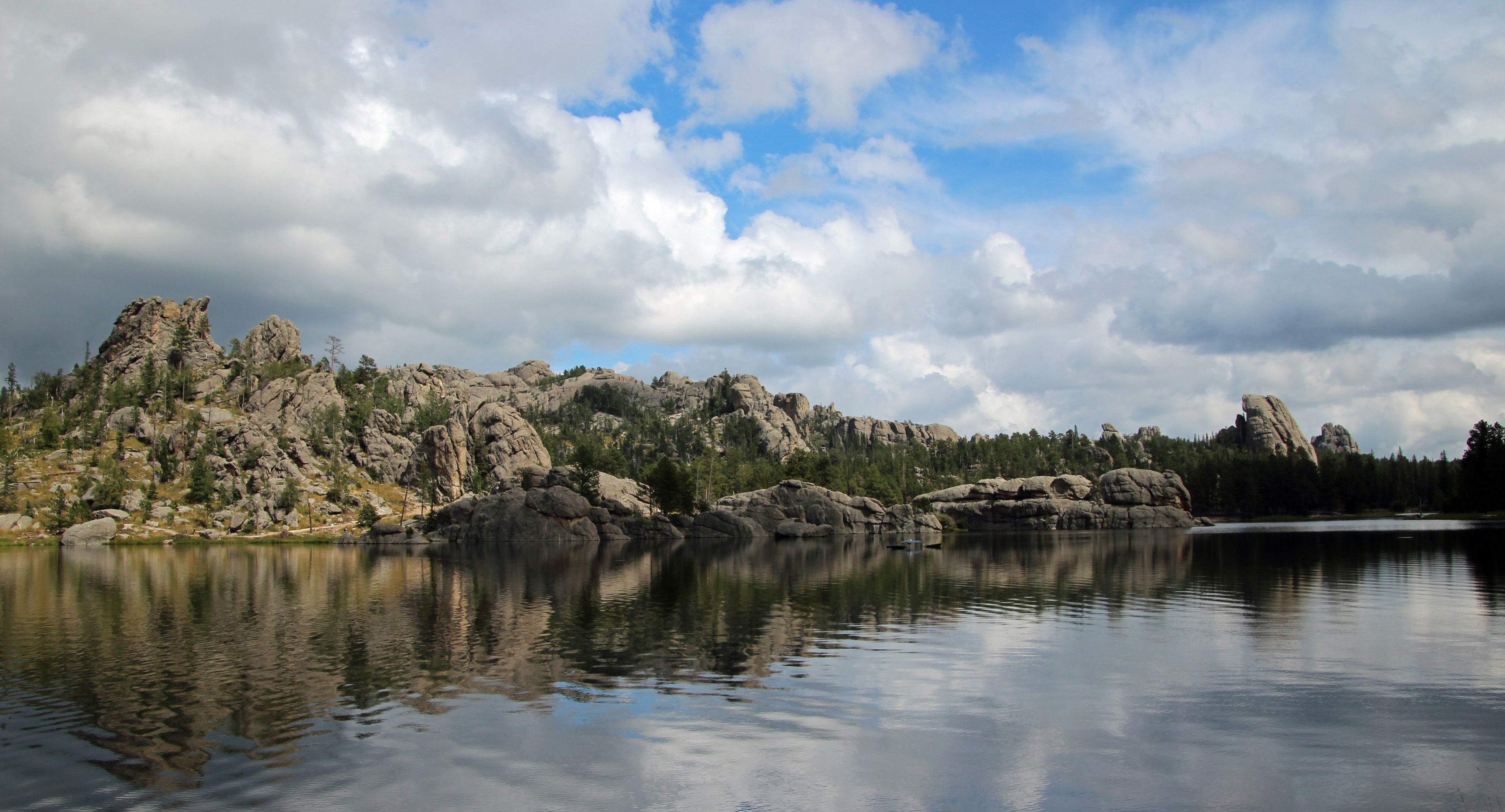
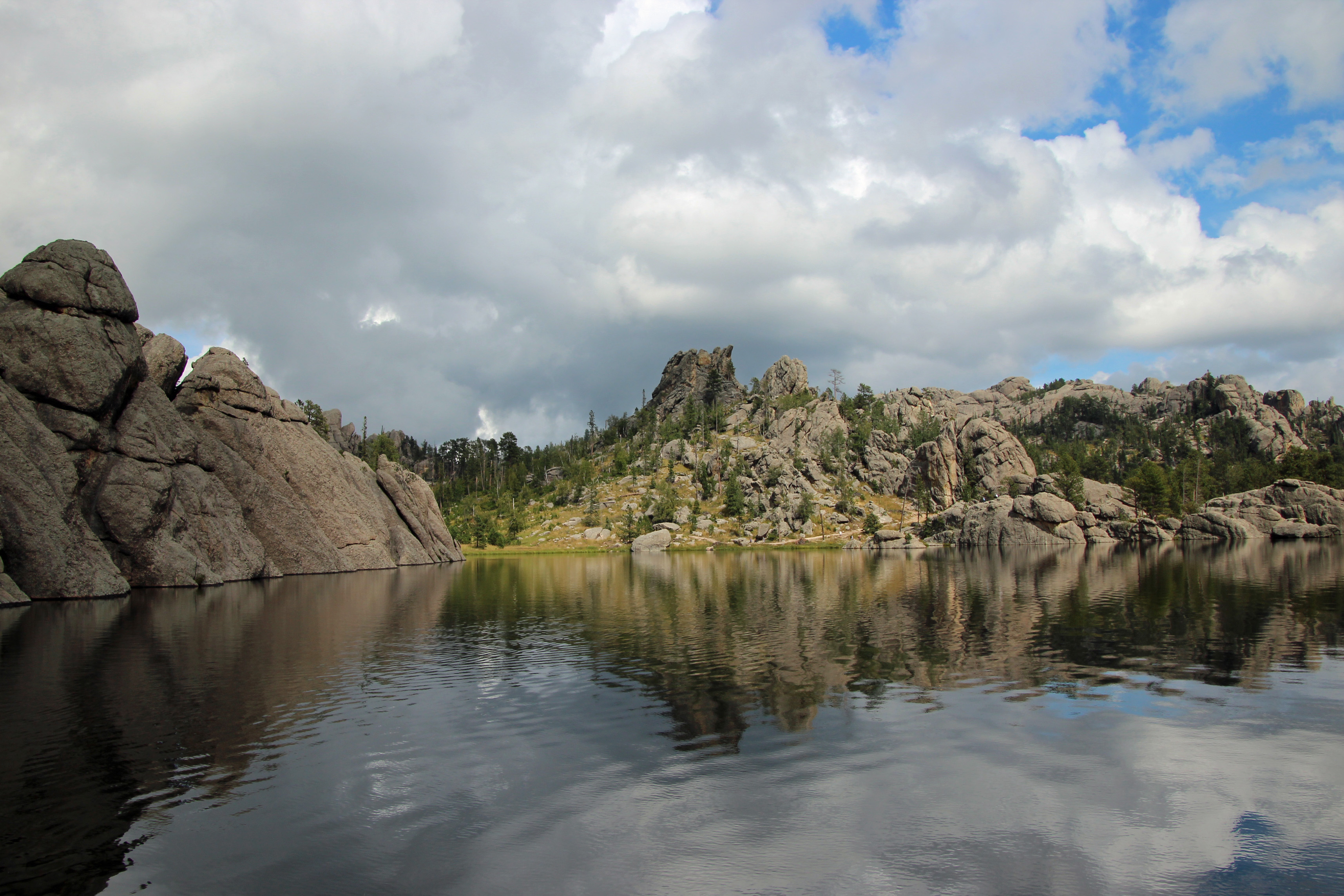
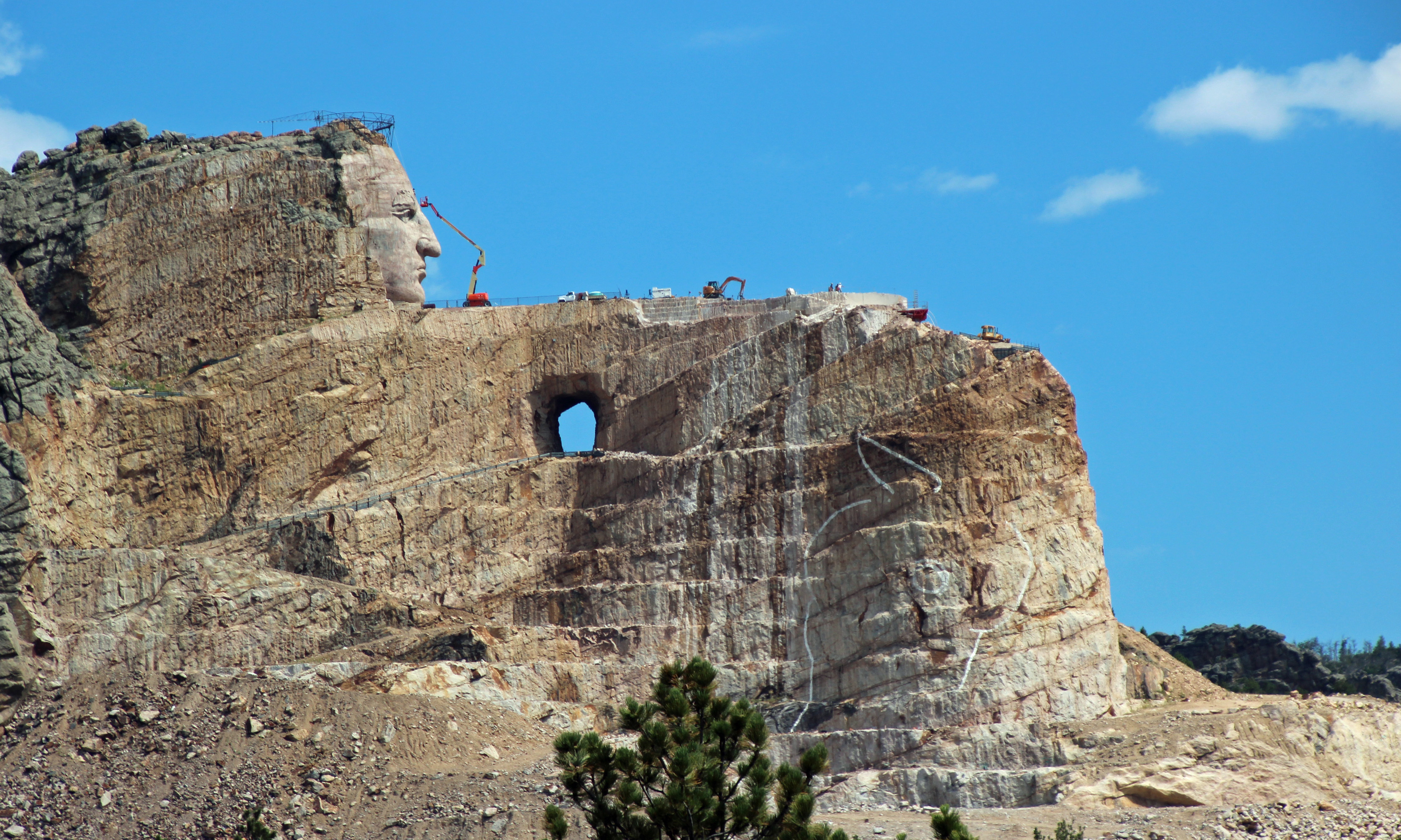
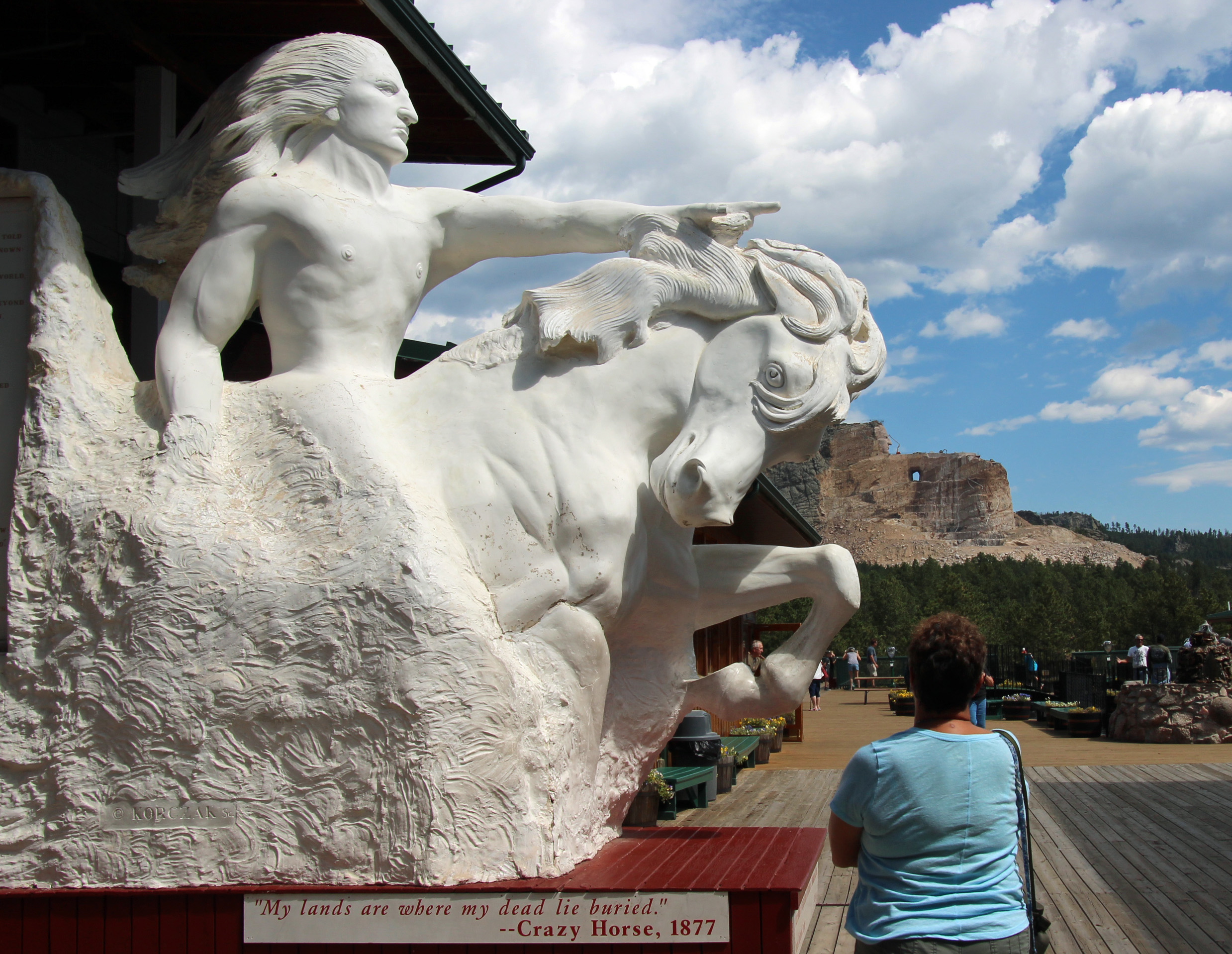
Vacations are wonderful, until it is time to head home. That’s the point in our trip for us, making the long drive back east from our fabulous trip to so many great state and national parks …. Glacier, Tetons, Yellowstone, Bighorn, Custer, Badlands … my, it was a lot. This may sound more like the “lightning round” of game shows, with many stops in many states, but we had a lot of ground to cover.
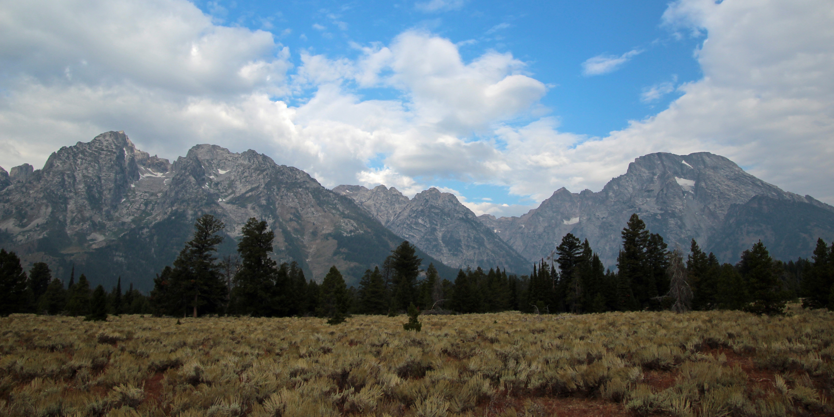
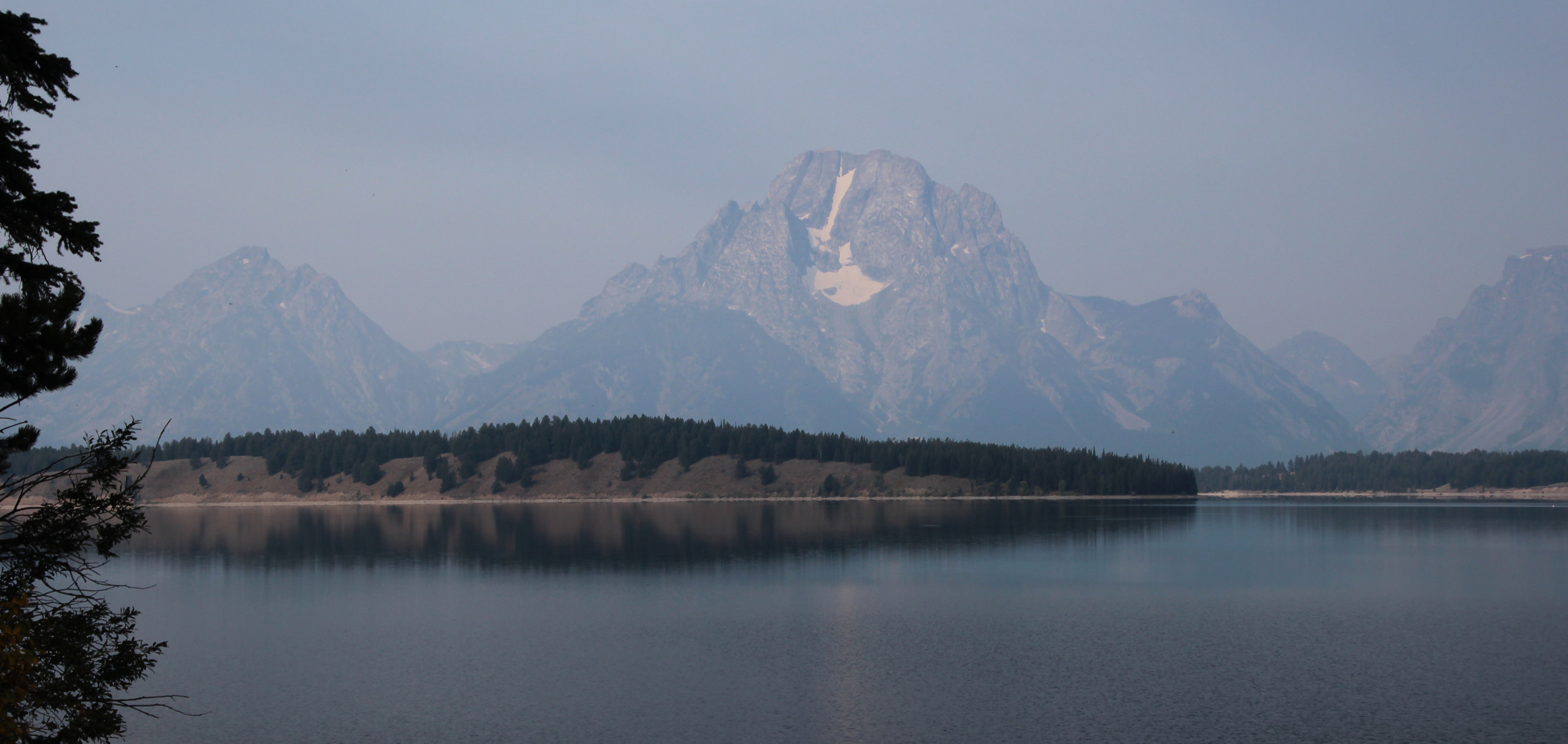
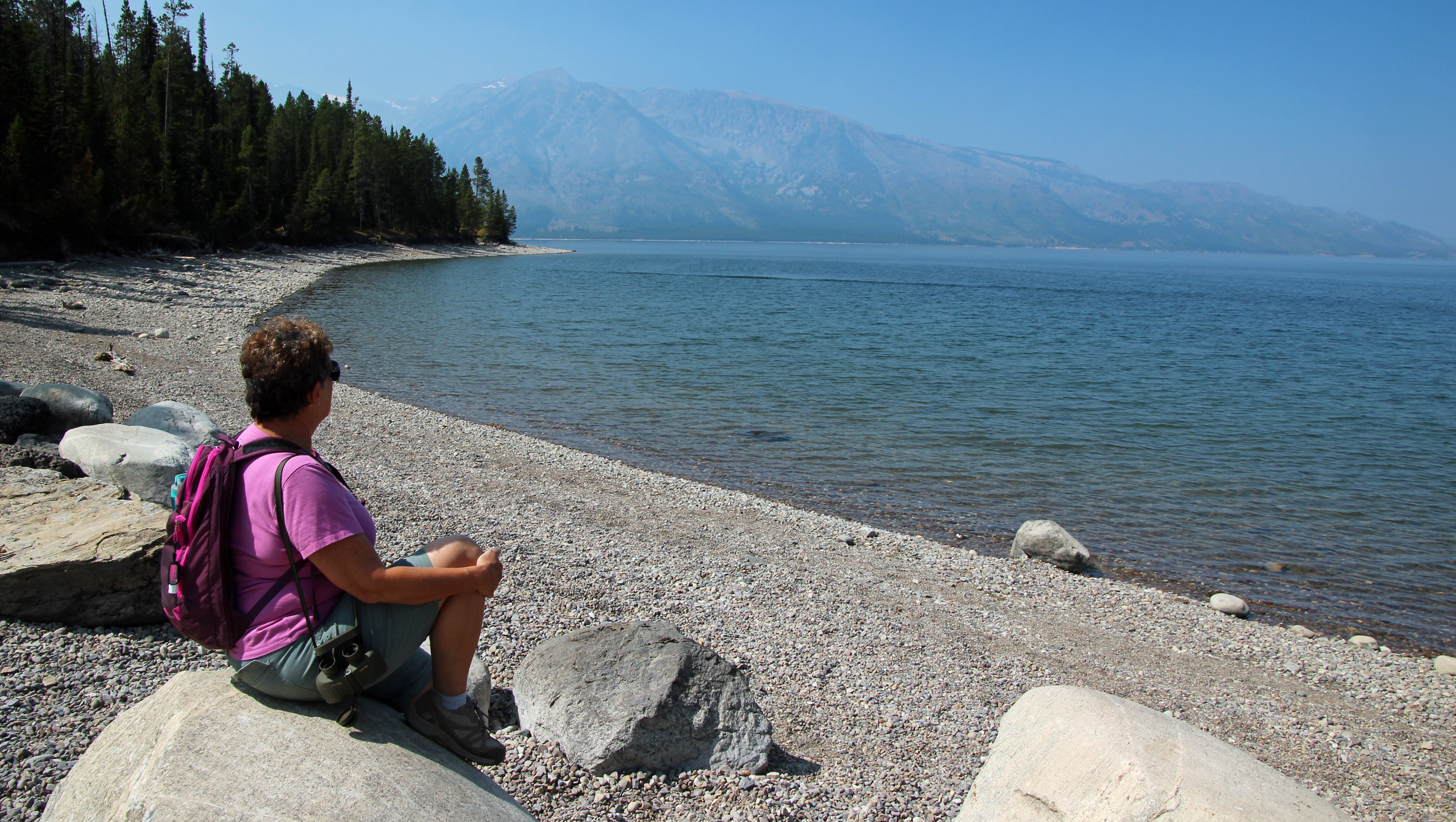
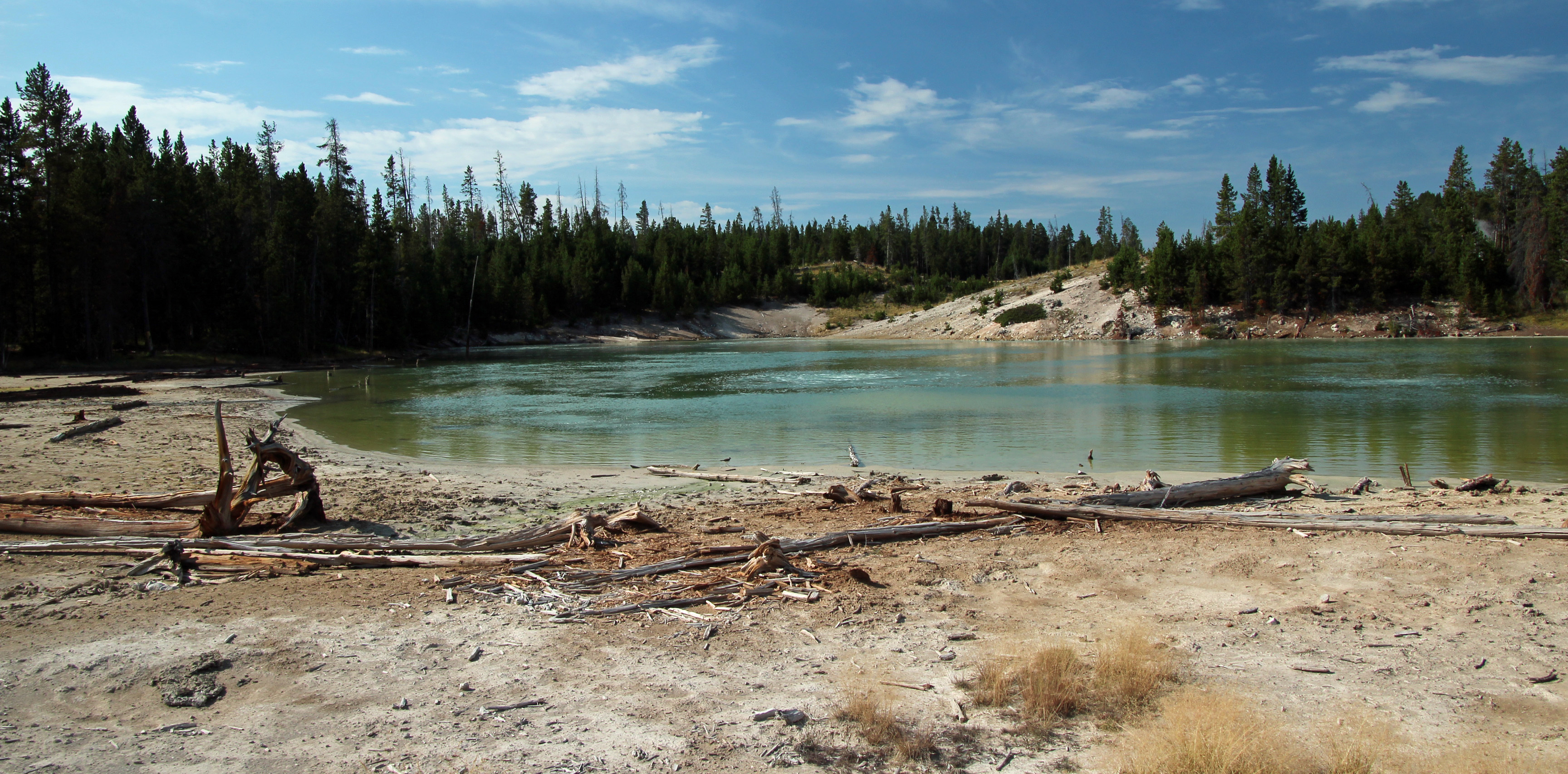
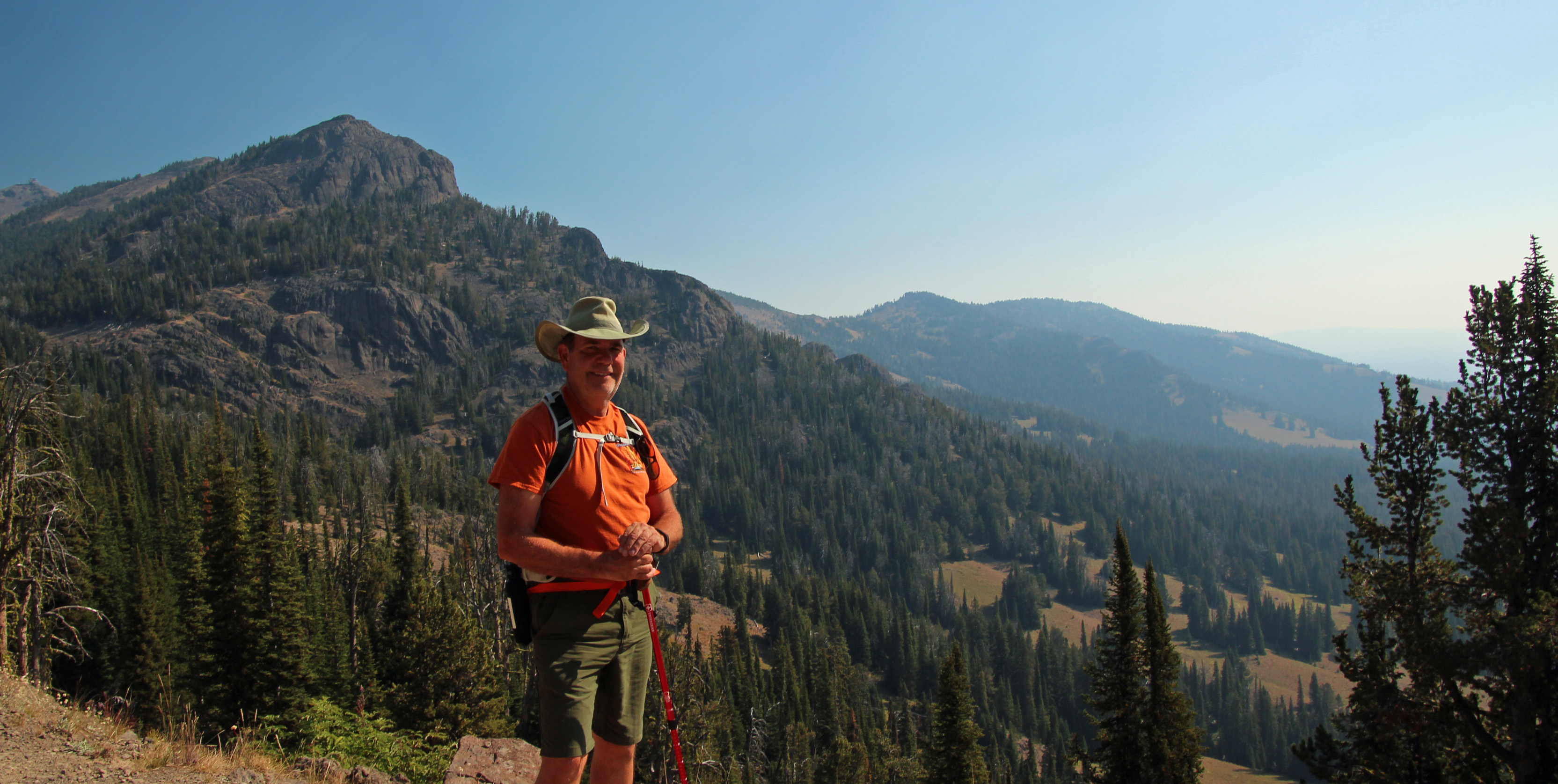
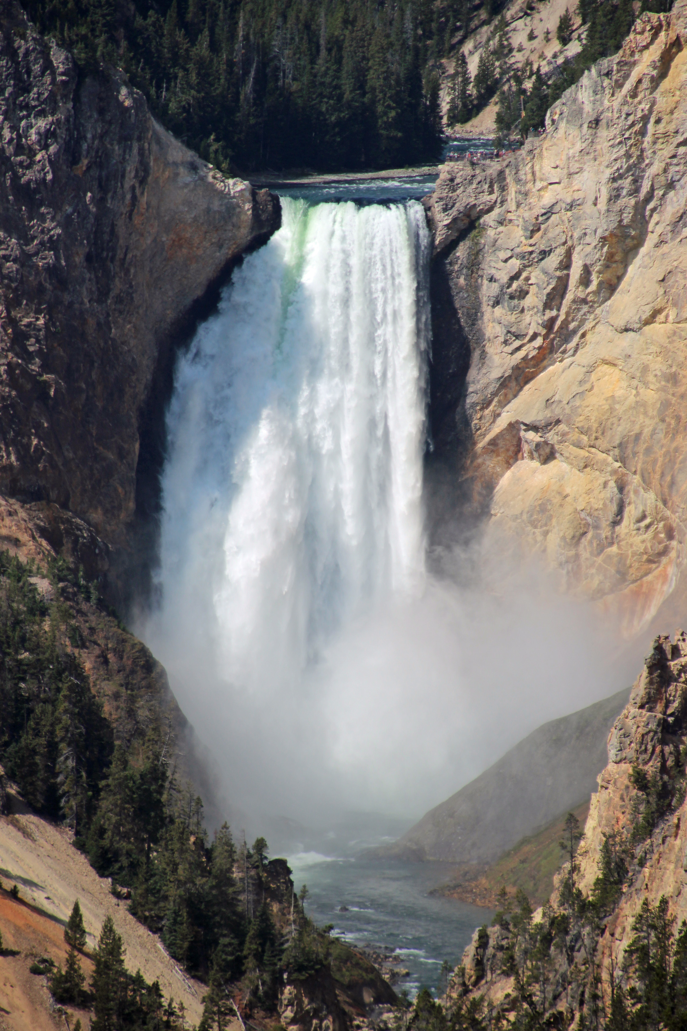
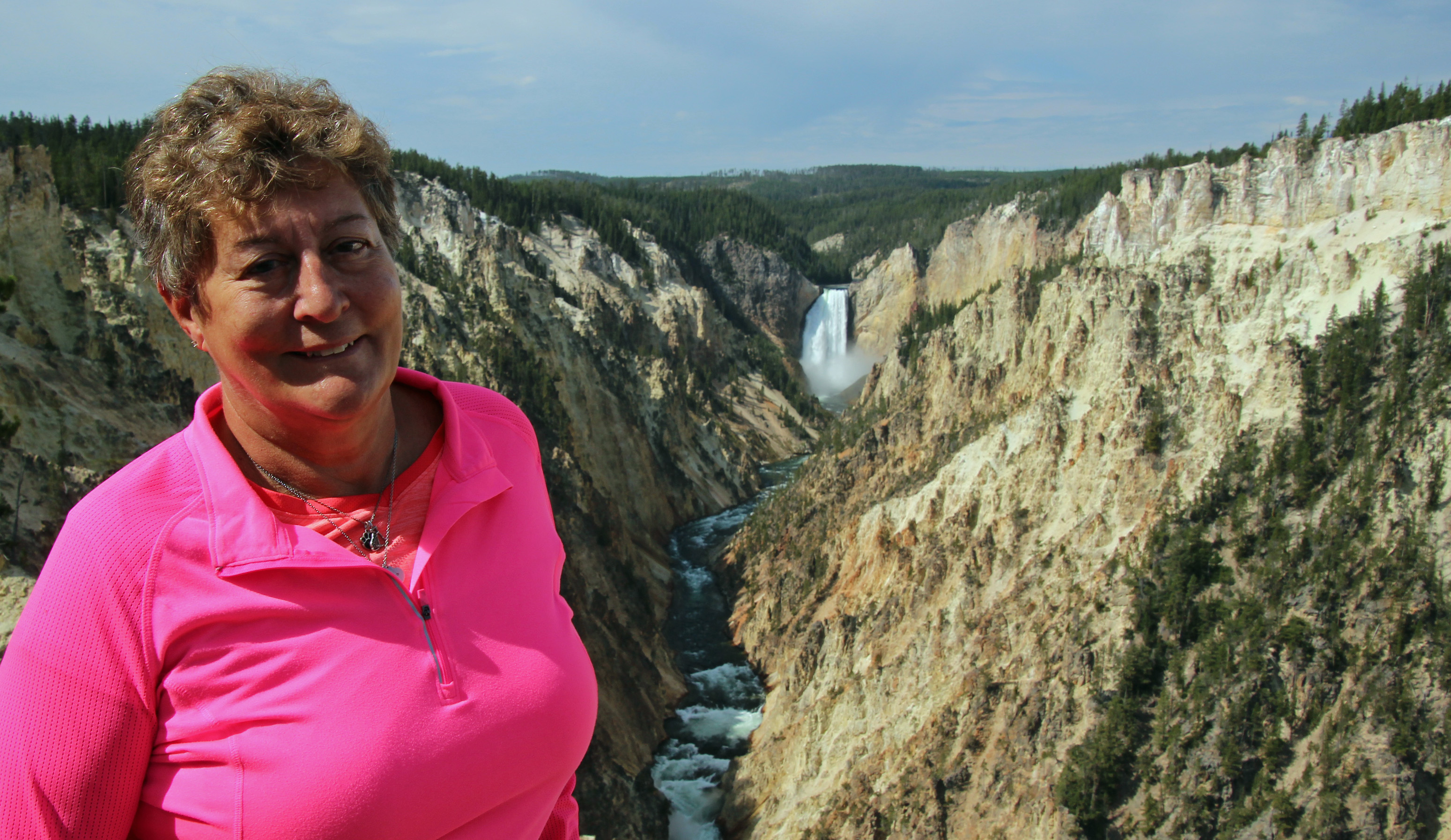
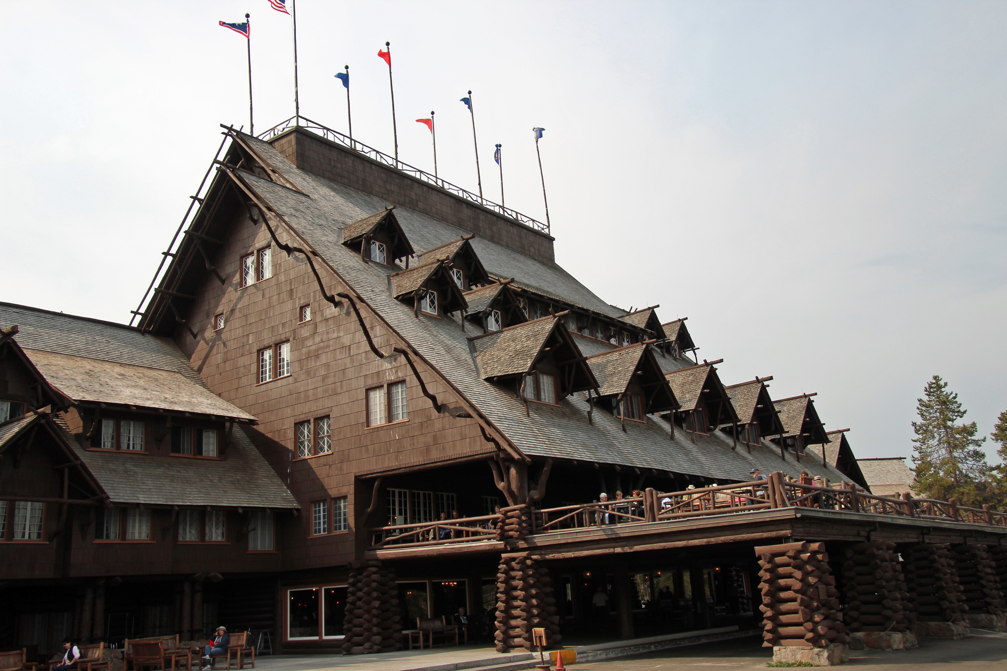
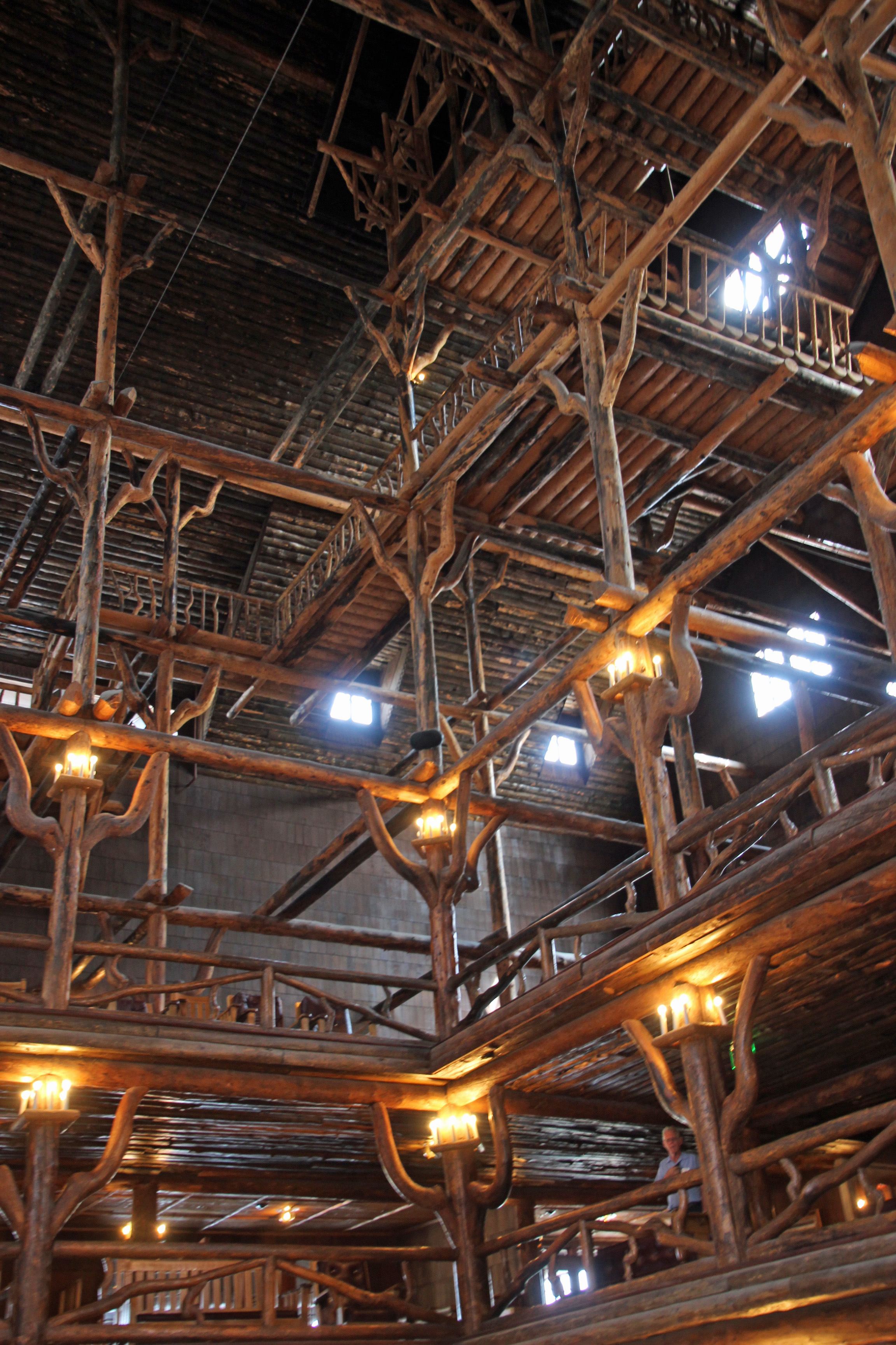
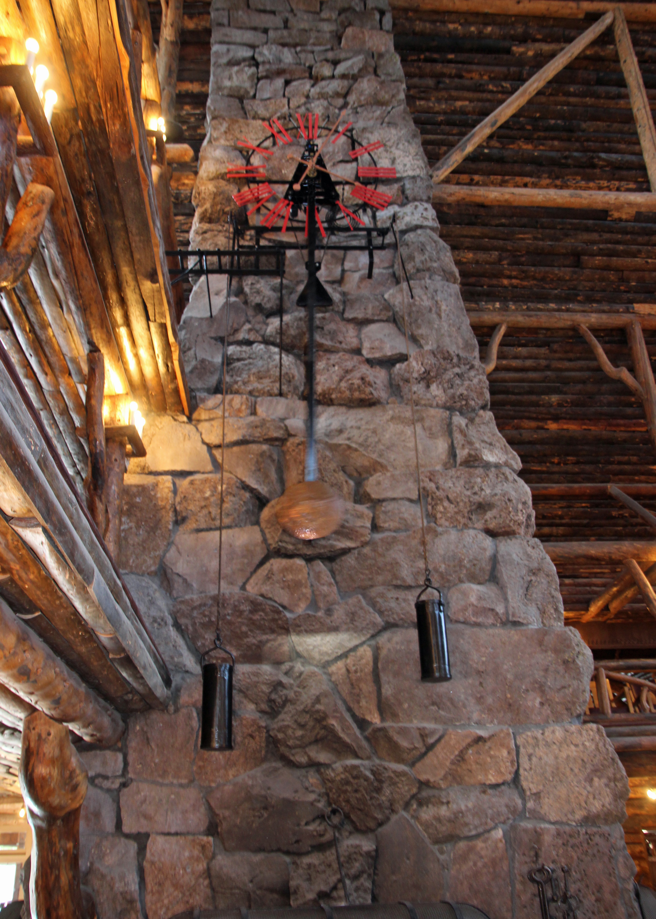
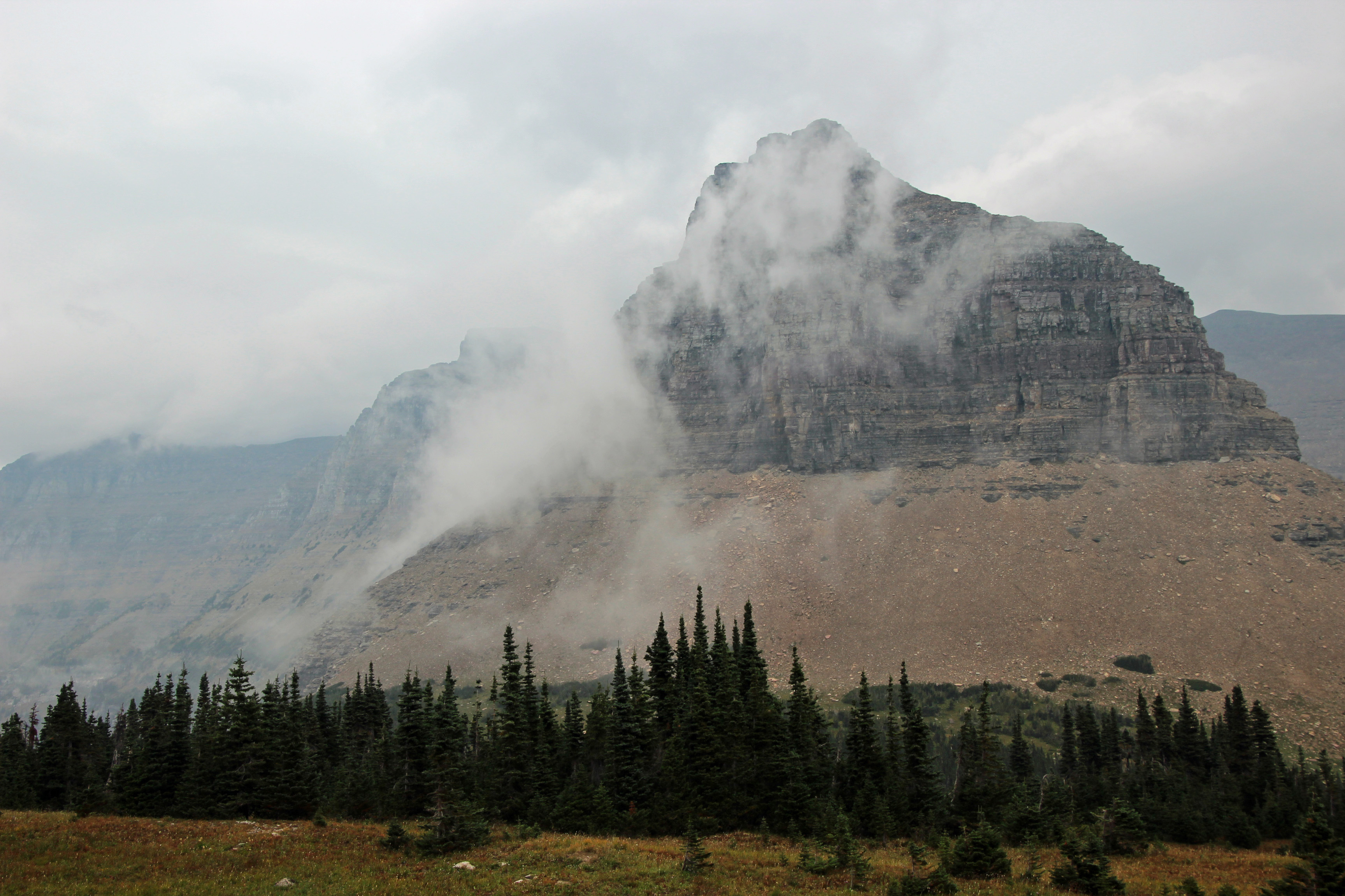
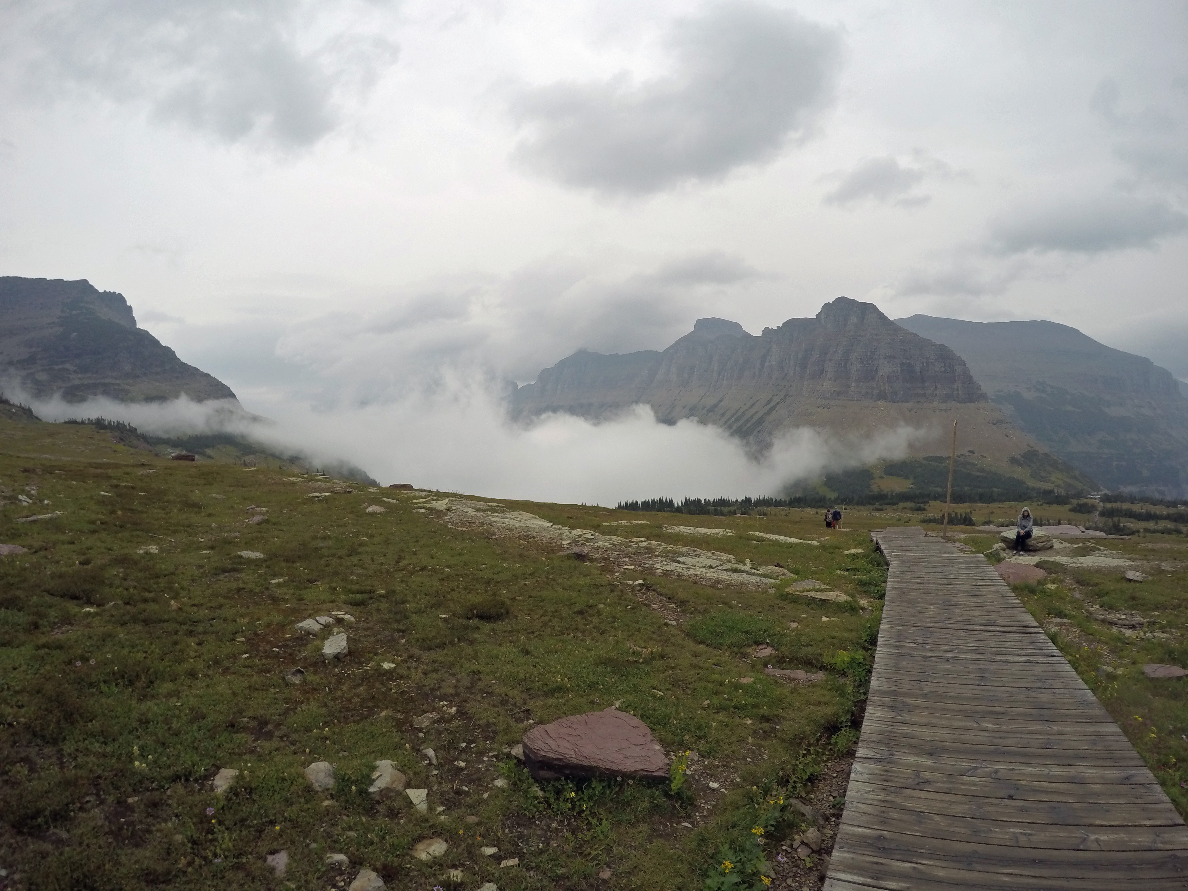
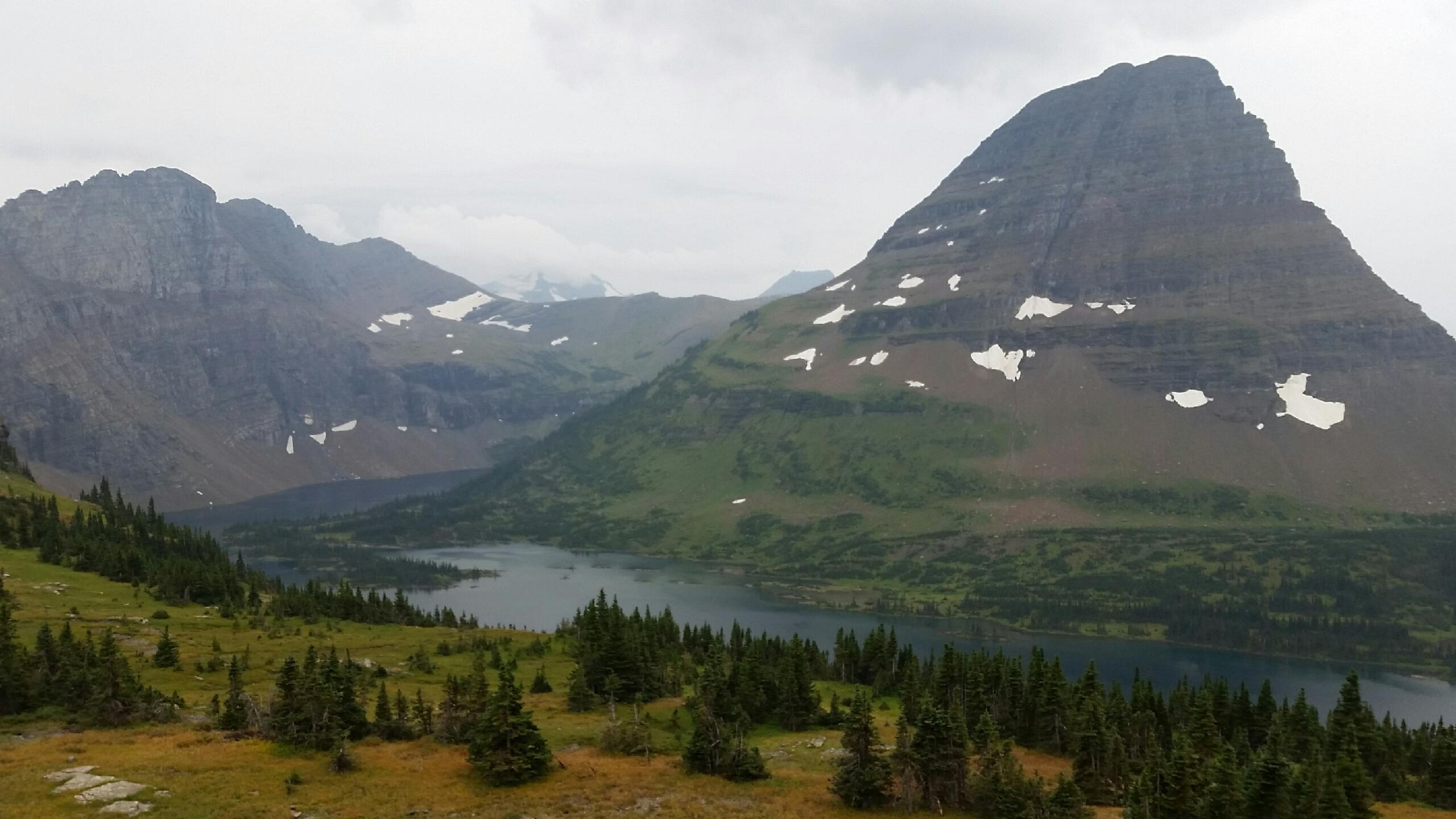
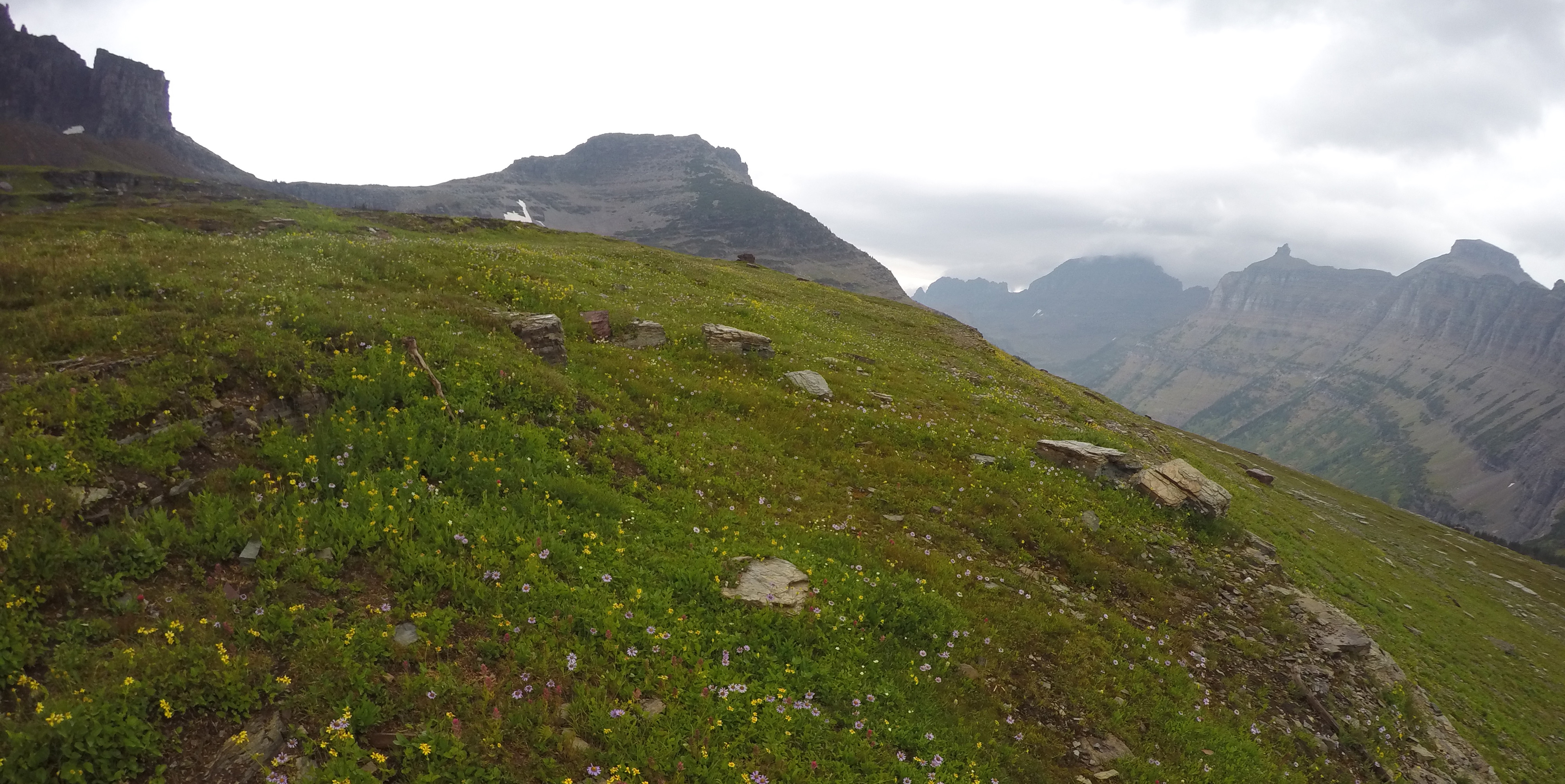
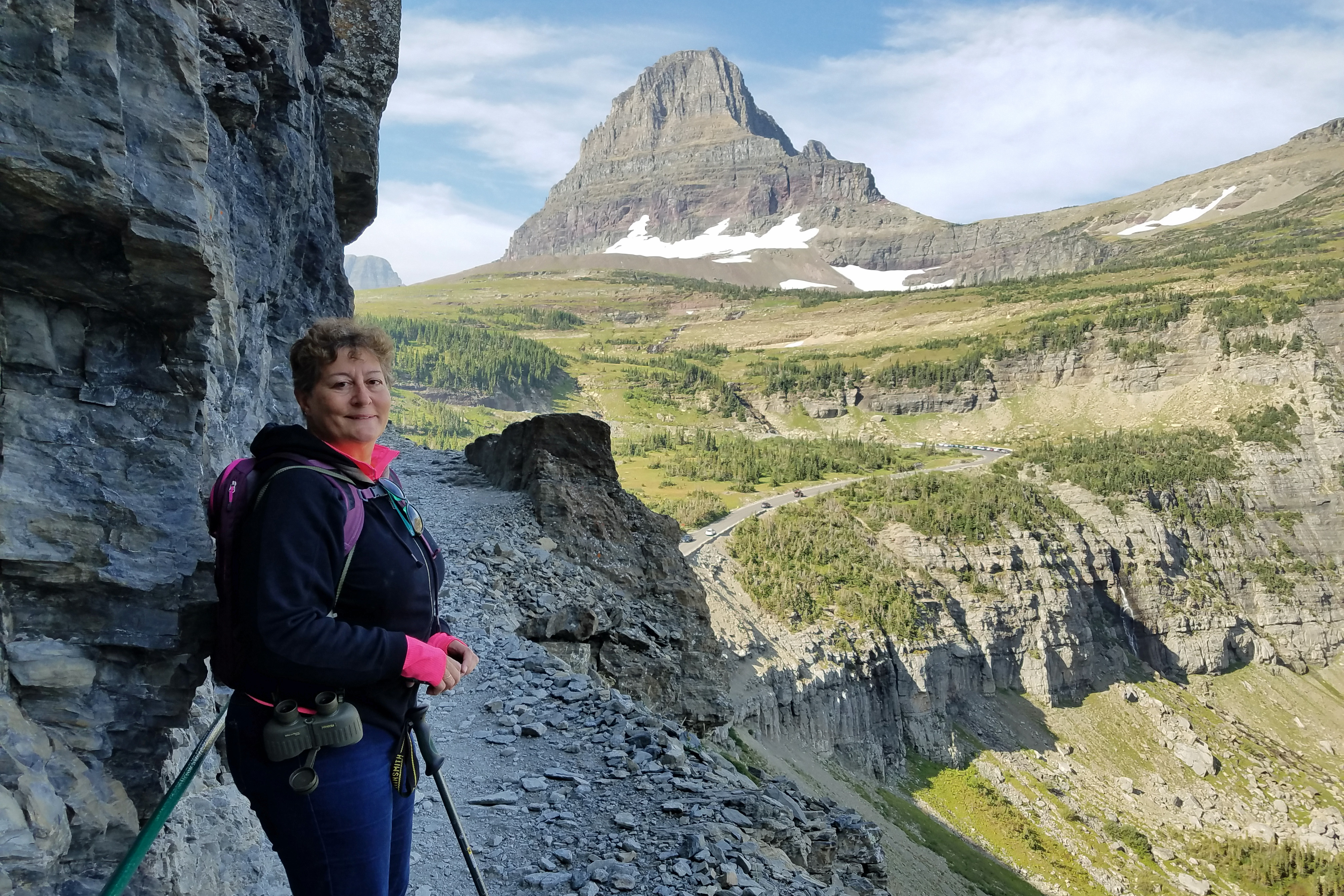
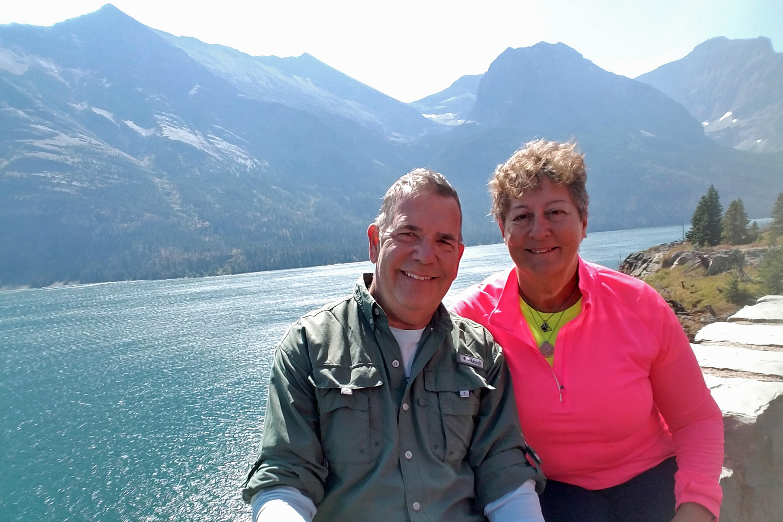
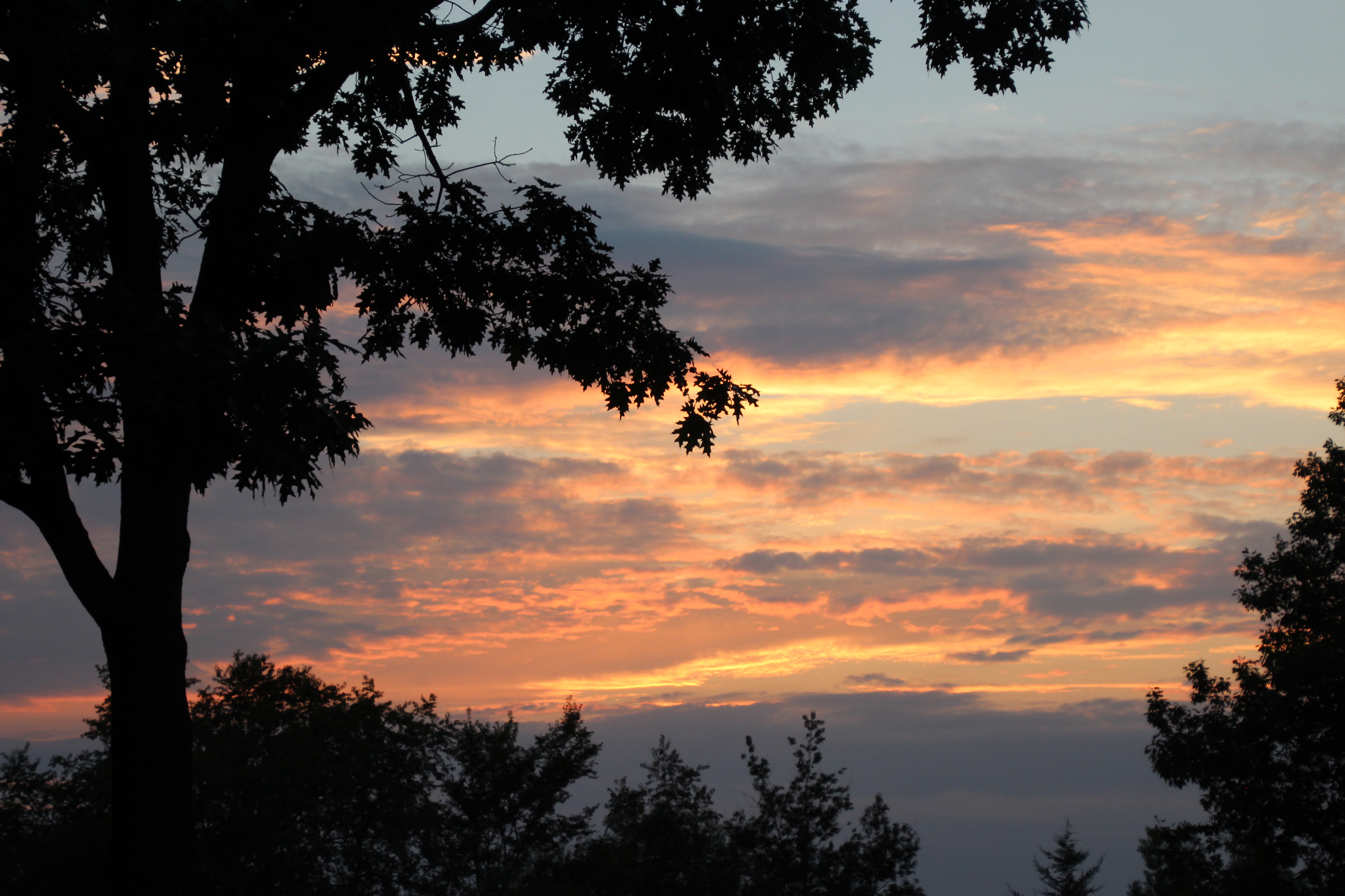
Tetons Last Day
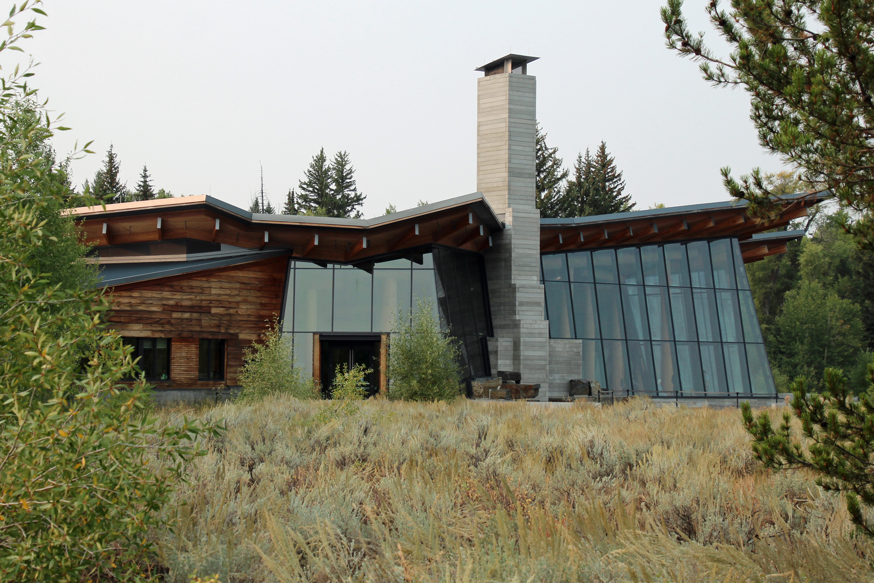
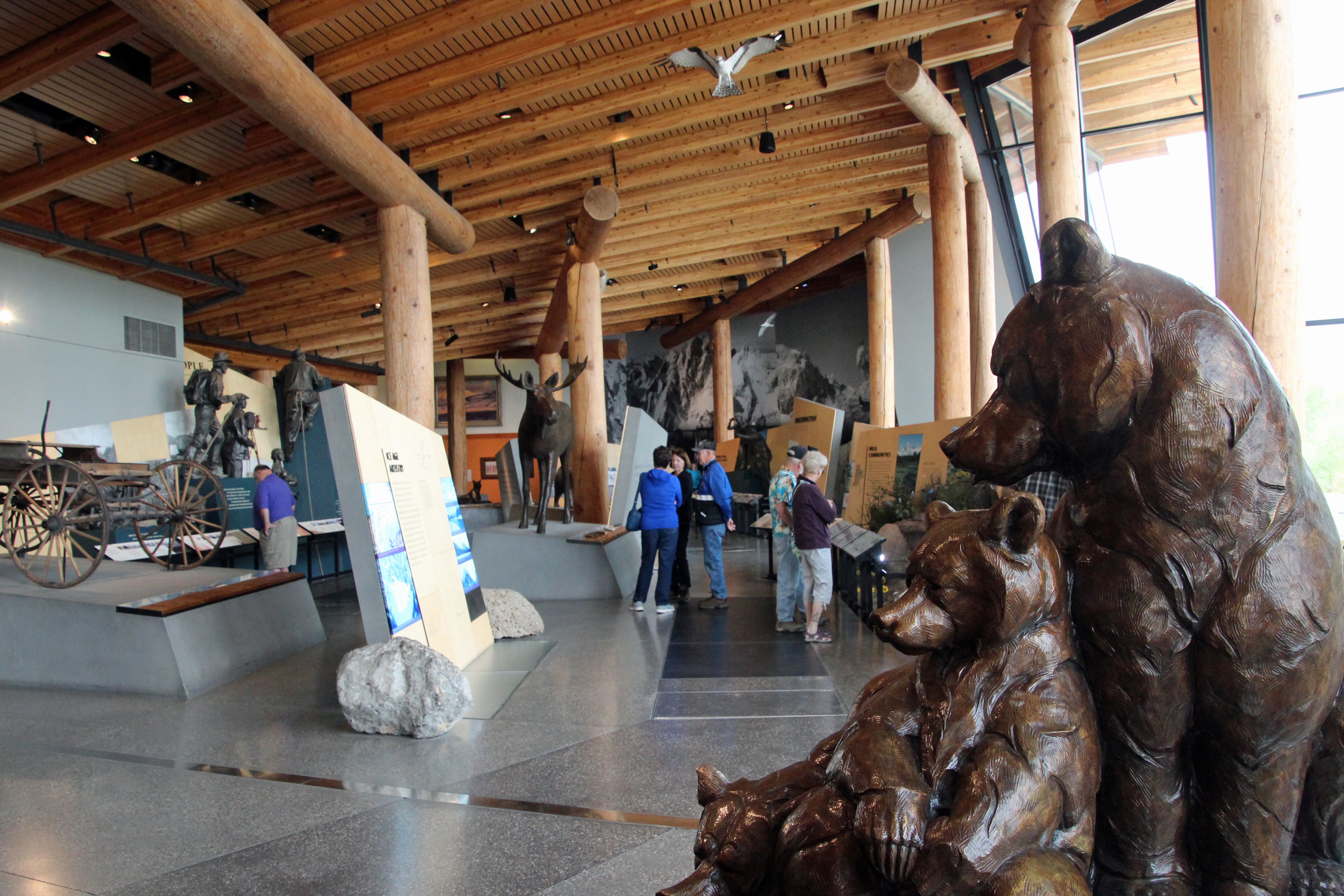
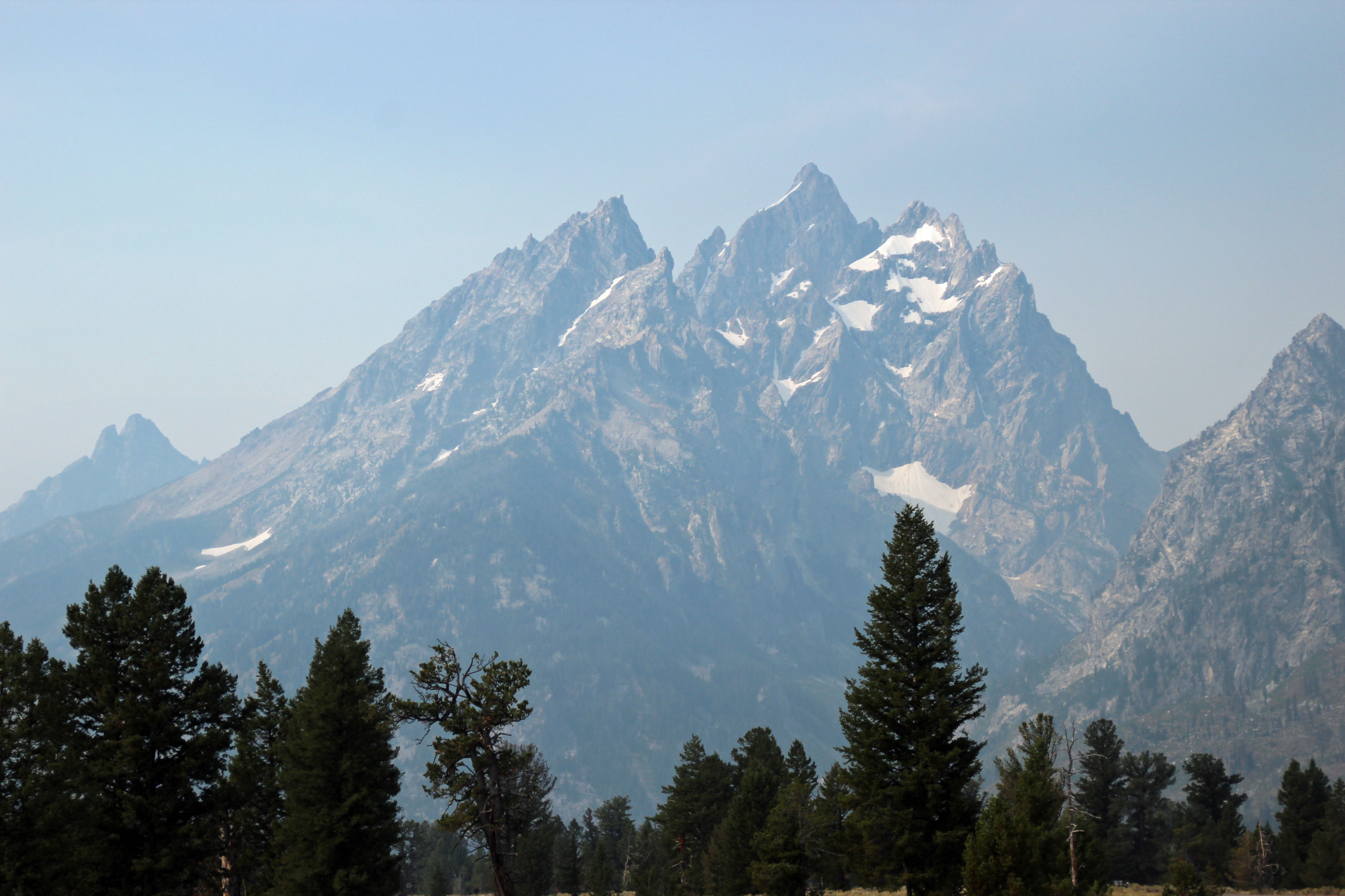
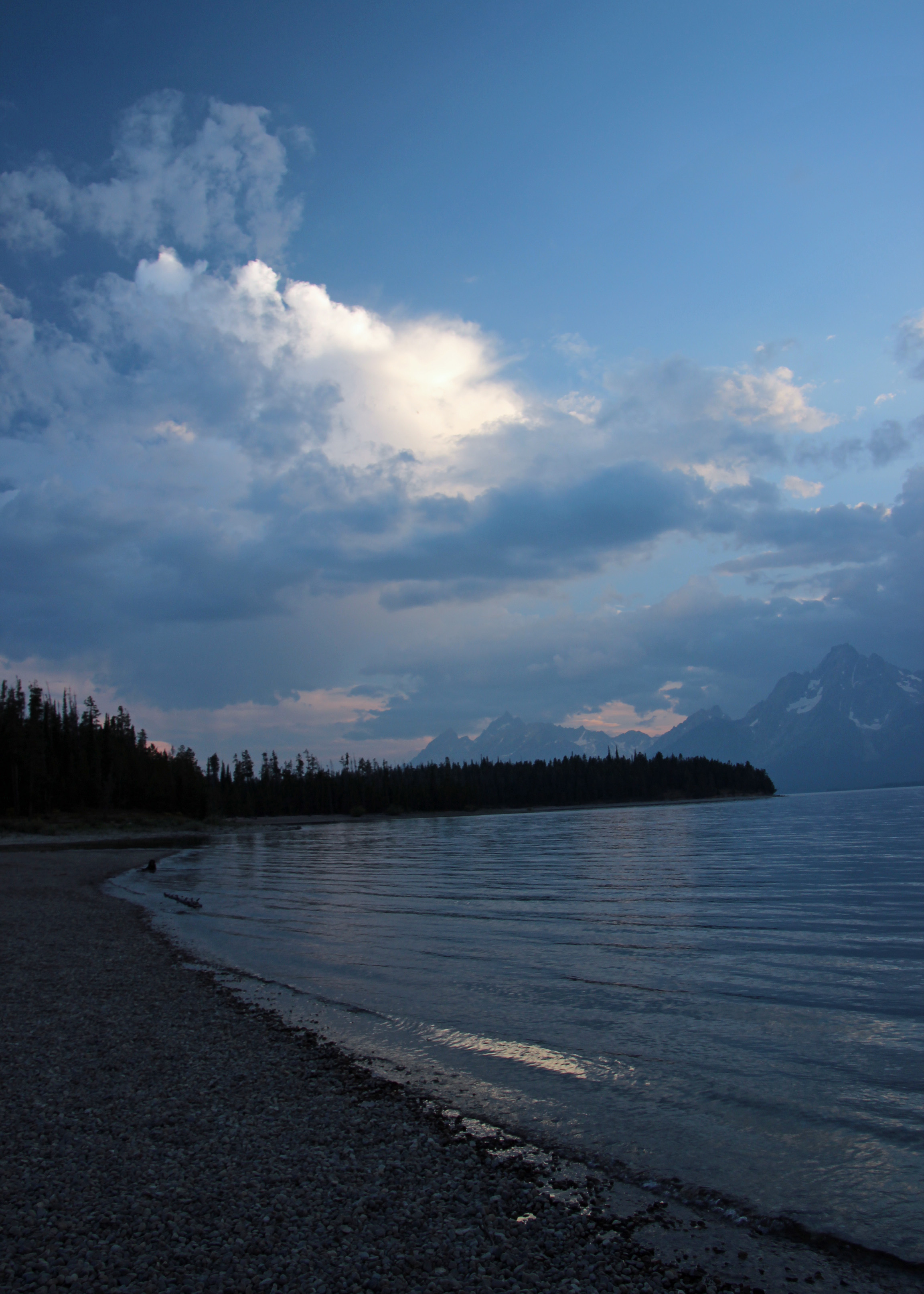
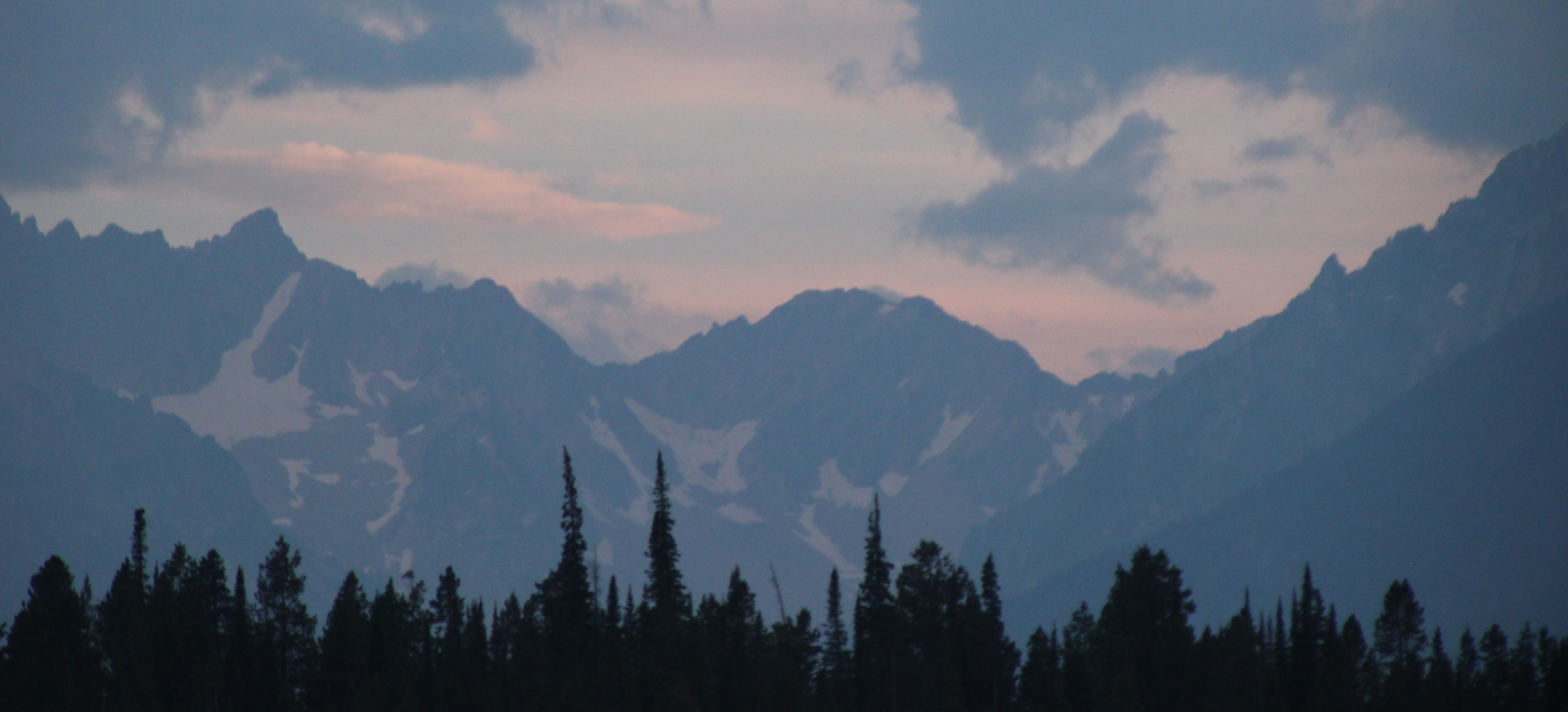
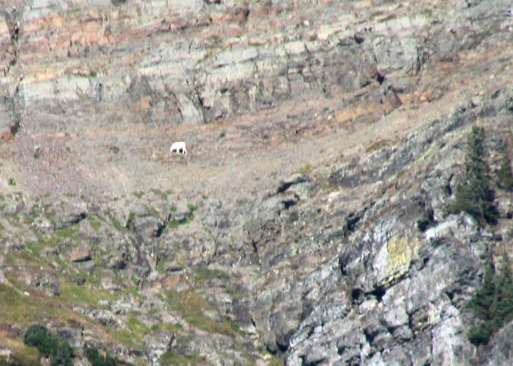
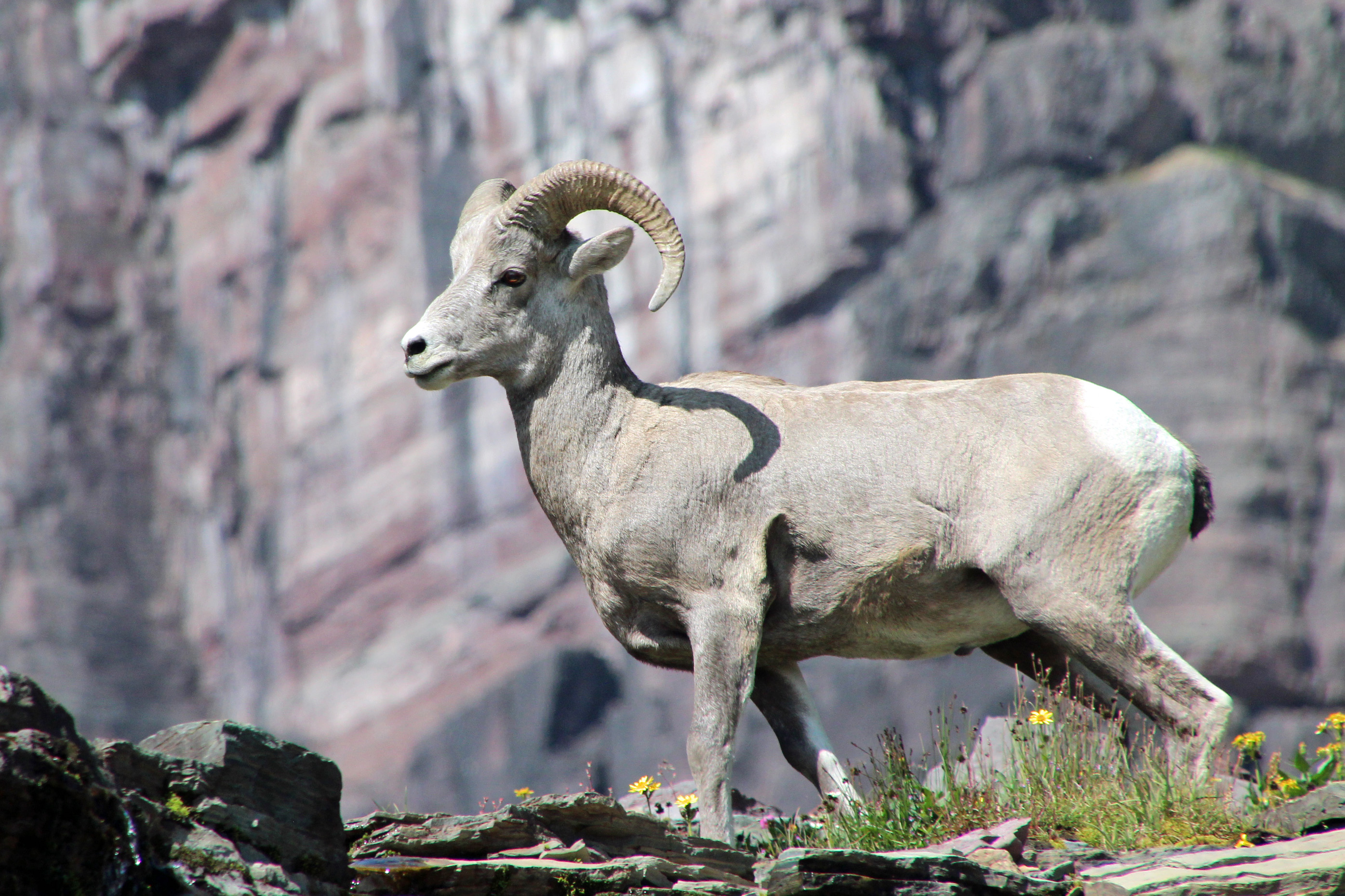
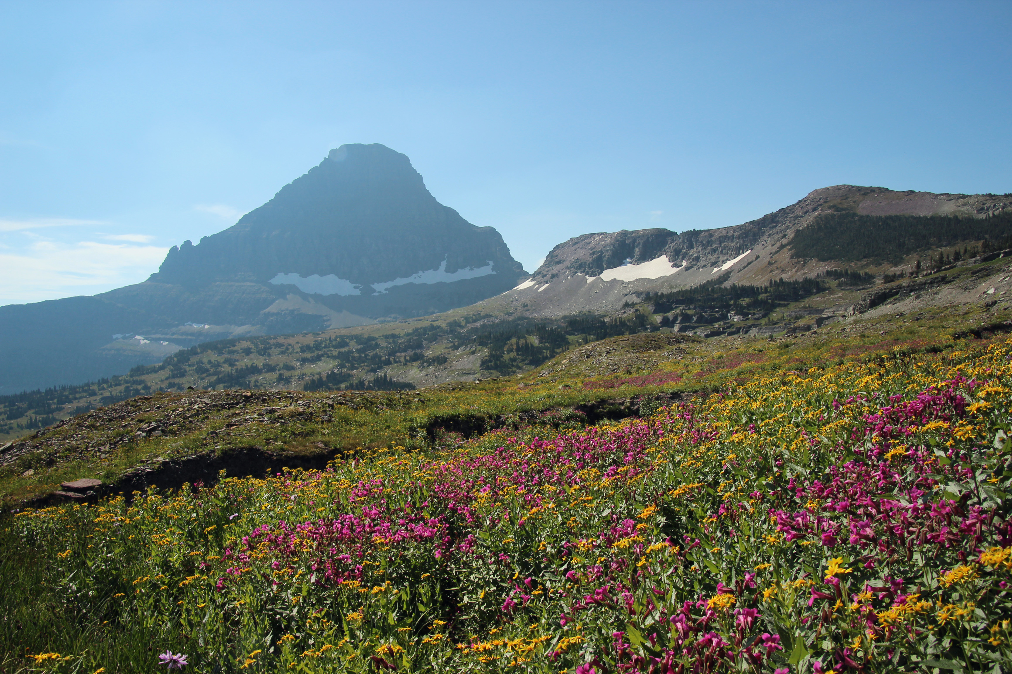
Wyoming
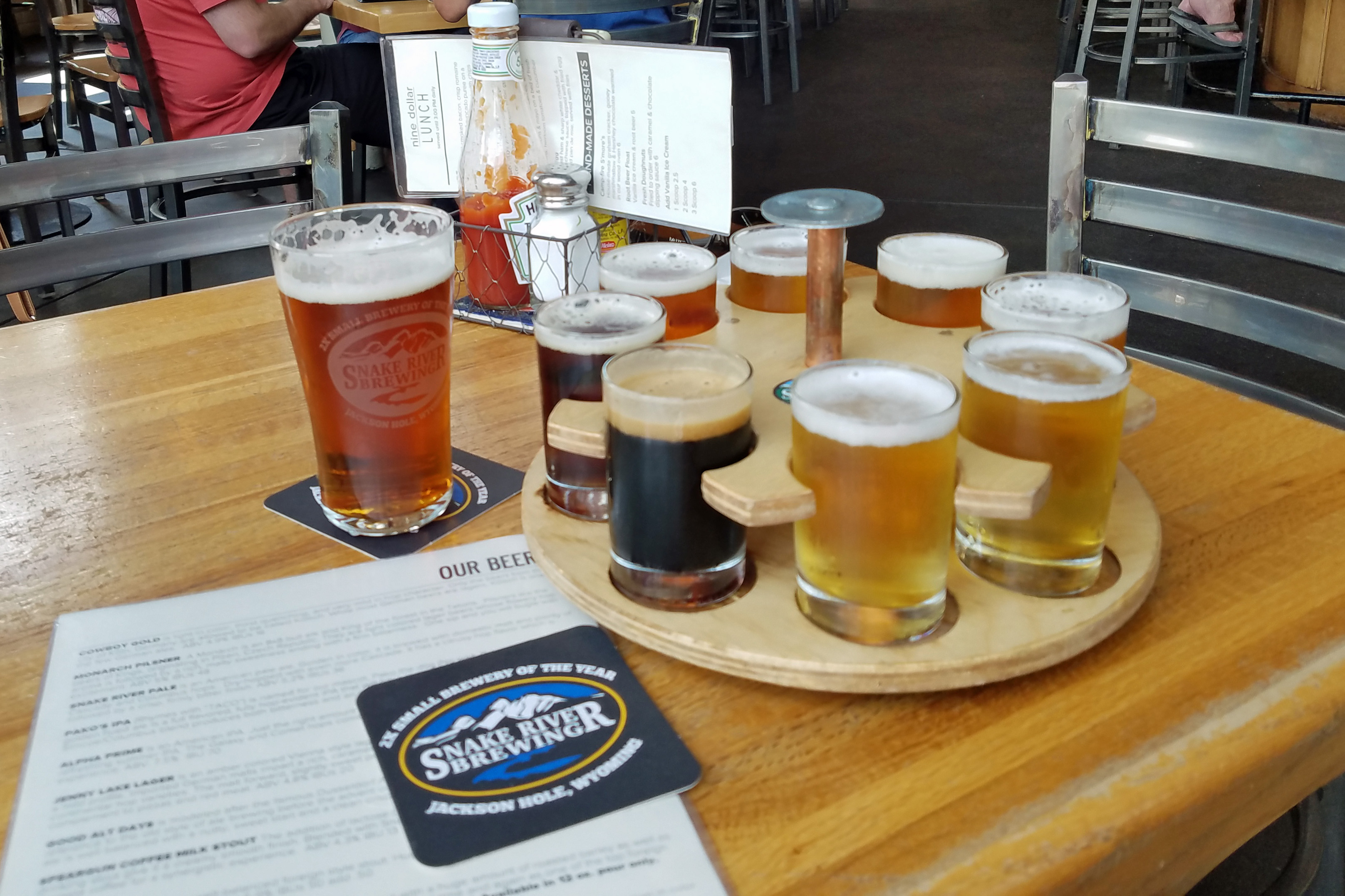
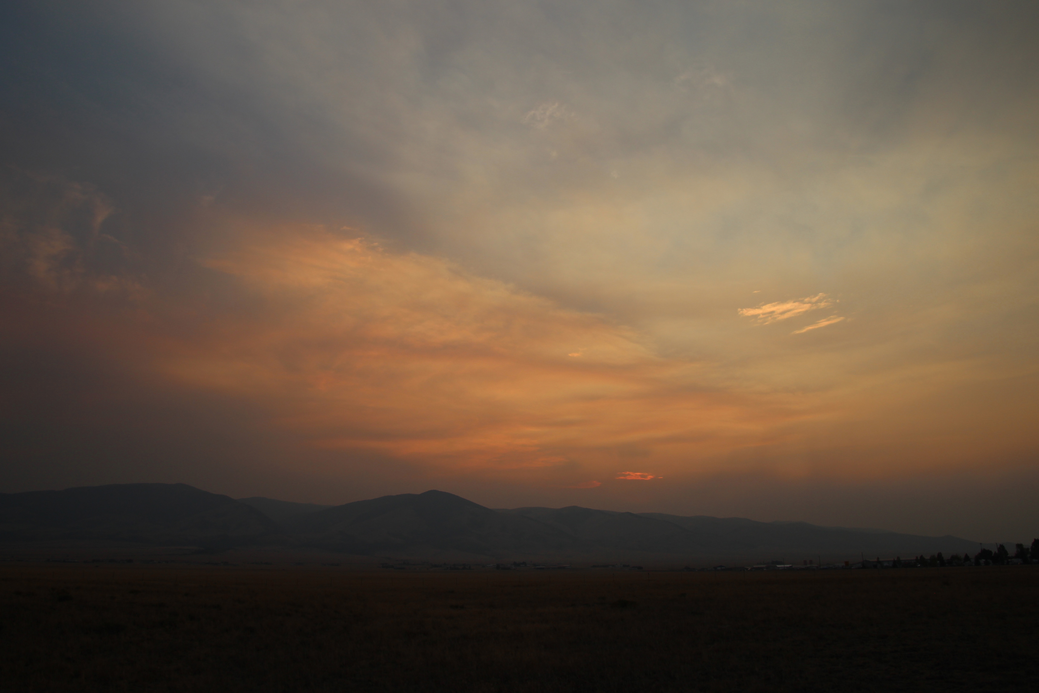
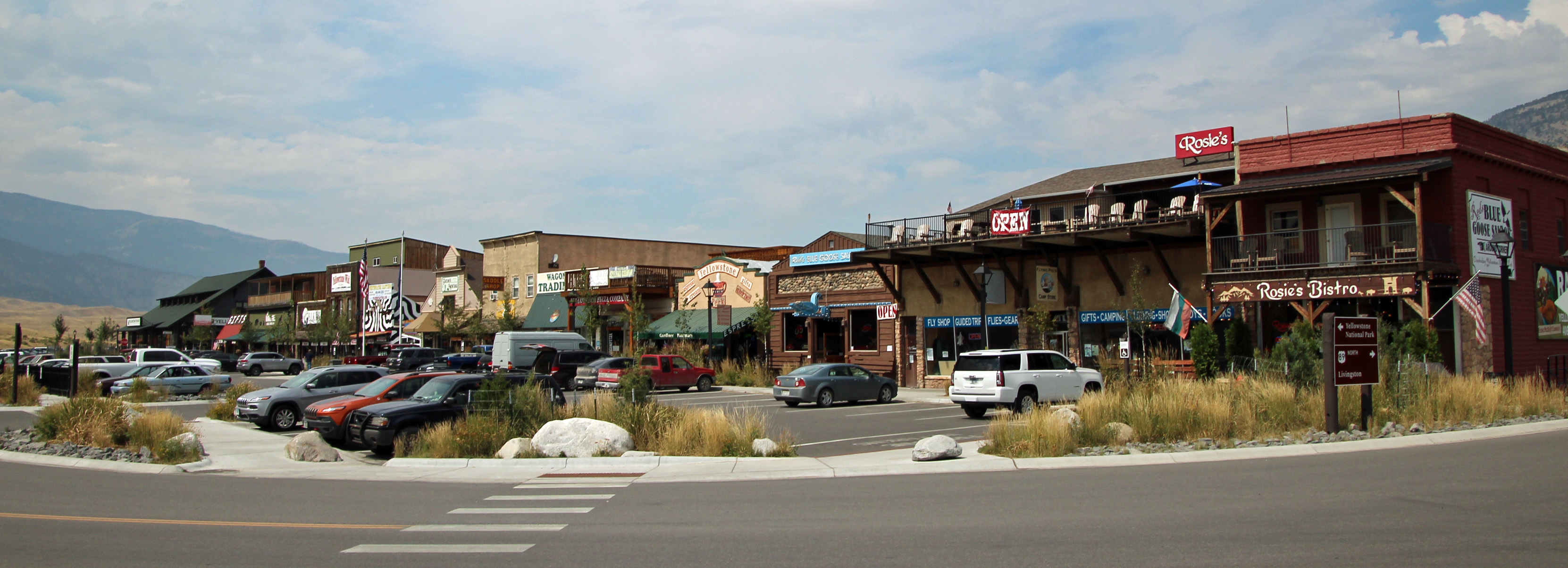
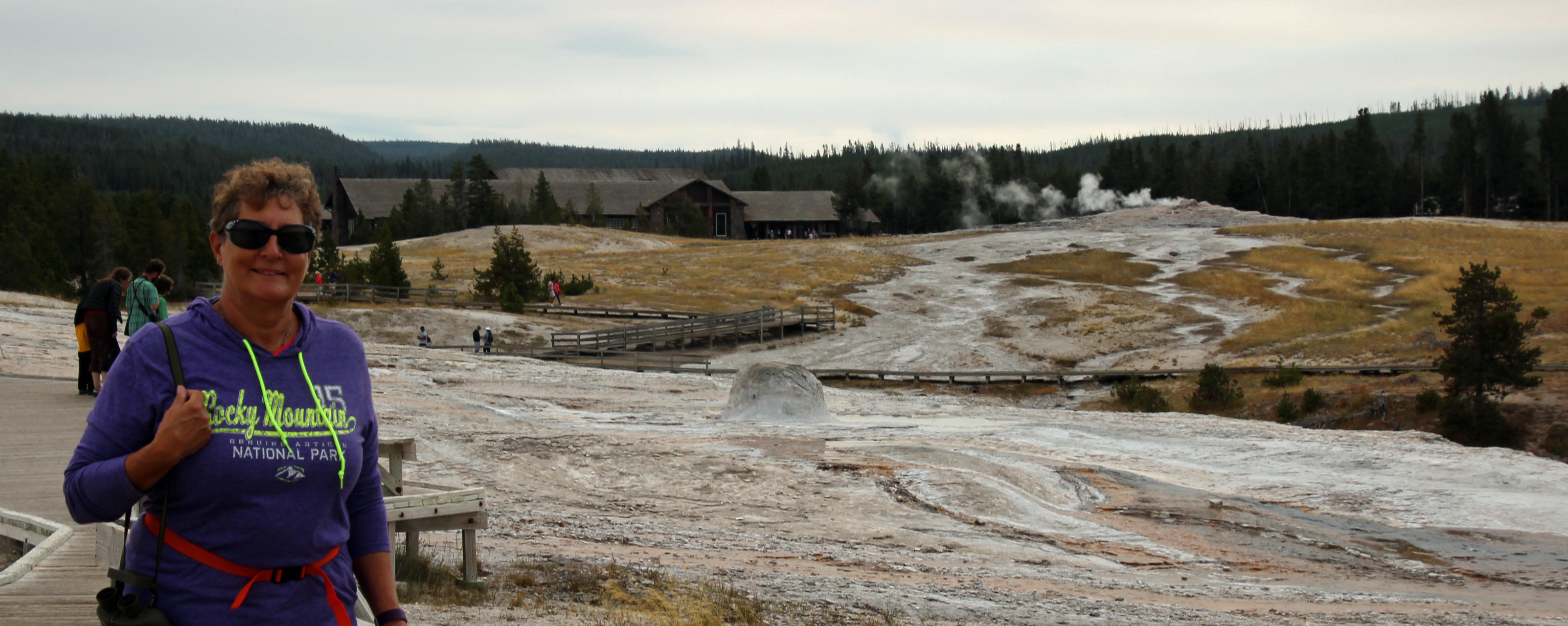
We left those impressive mountains of Grand Tetons while the air was clearing just a bit and we saw them one last time. The drive southeast took us along the Hoback River through a very scenic canyon and then into the cute western town of Pinedale. The streets were wide, the shops all fishing and hunting themed and … woah, was that a brewery we just passed? What luck, it was lunchtime! We eased alongside the sidewalk, parked the van and walked back to Wind River Brewing for a delicious lunch of brats, reuben sandwiches and a flight of beer. One stand-out was their Mango Wheat, which they unfortunately did not have in cans to-go. Darn.
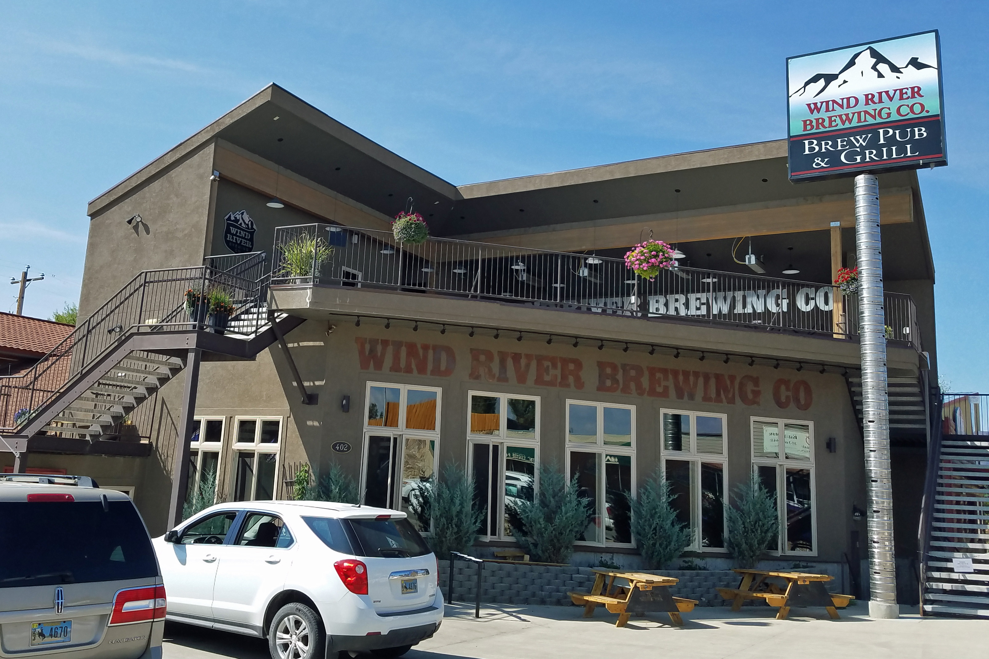
Wind River Brewing

Wind River Flight
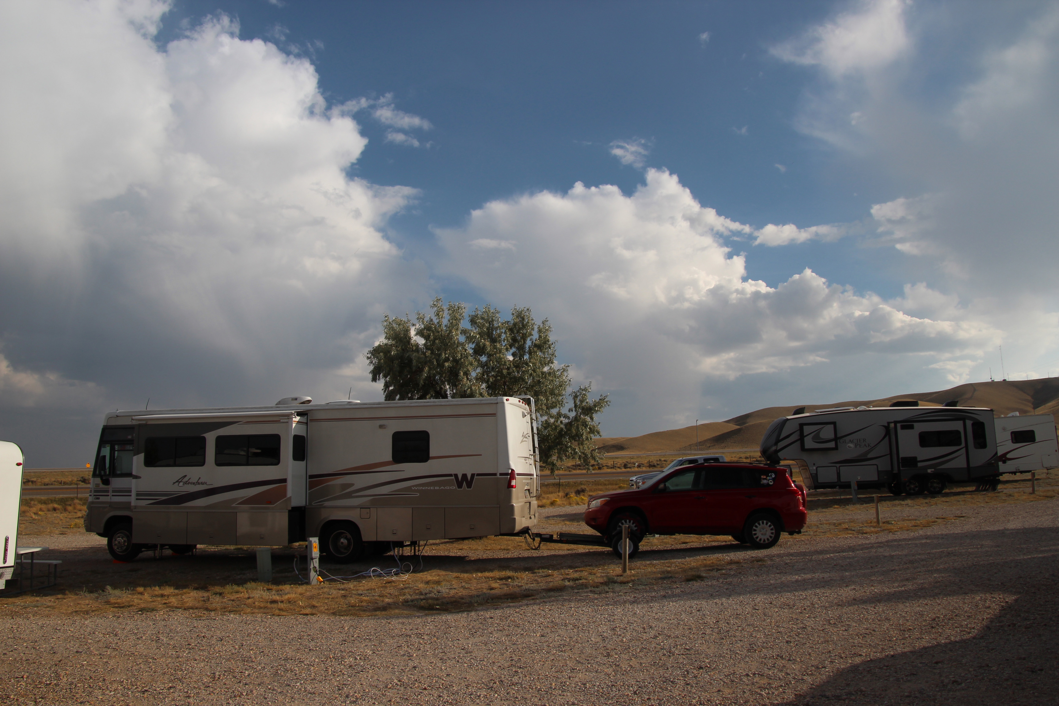
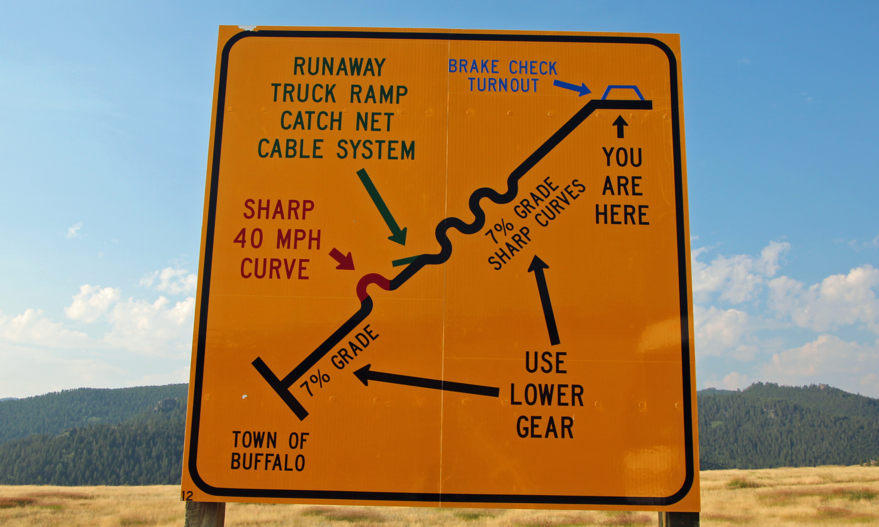
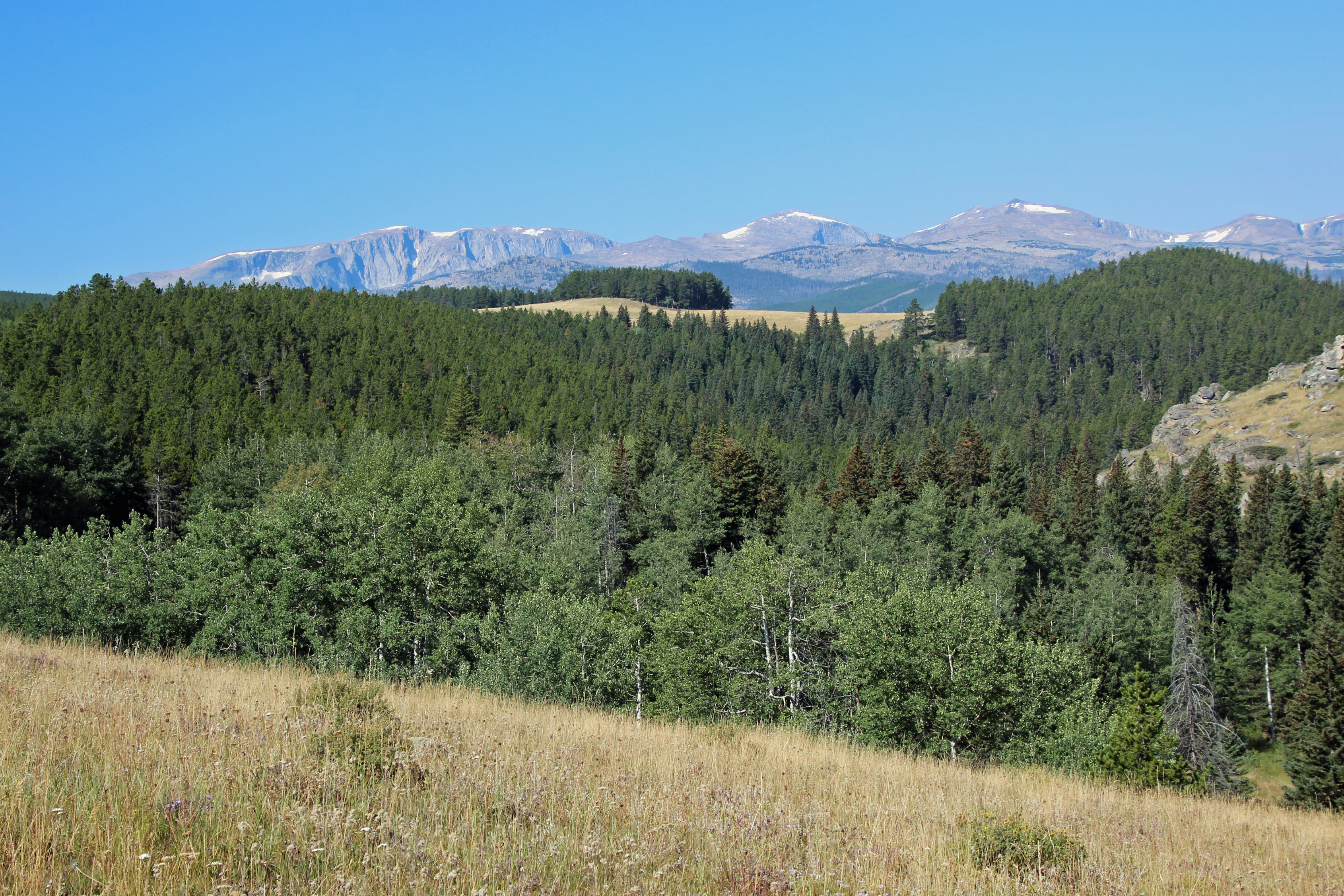
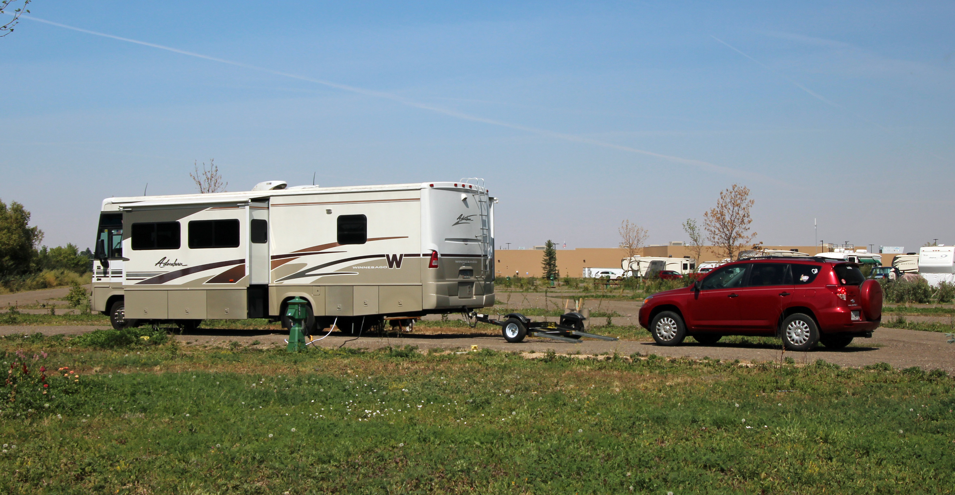
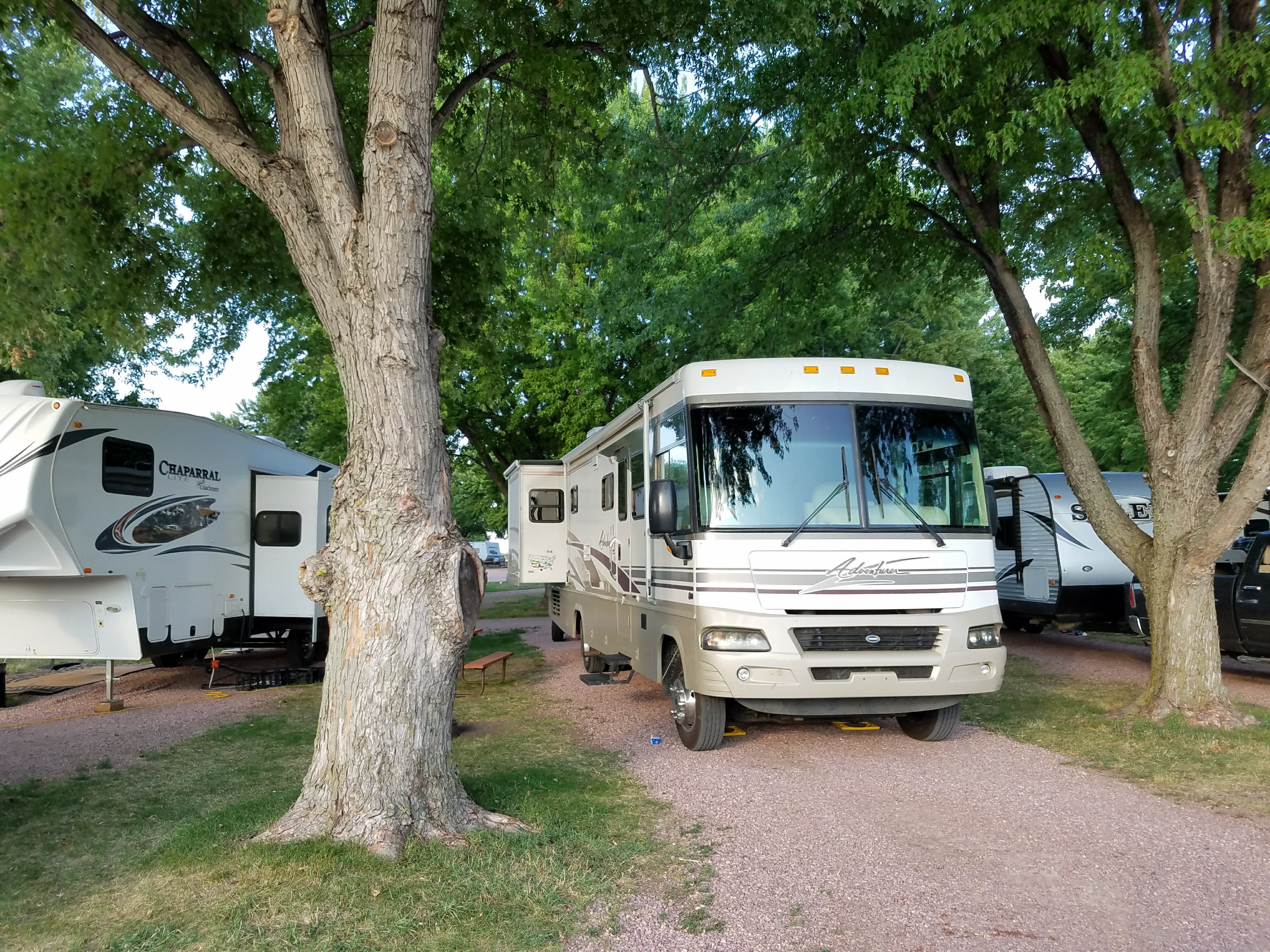
On the nice 2-lane road south again we suddenly saw signs that said “pavement ends” .. what?? Well, one of the area road maintenance strategies is to remove the asphalt from the entire road for miles at a time (5 to 7), leaving a gravel washboard. This was one of those instances as “whomp” we left the pavement and rattled more slowly along the gravel. This is no fun in a motorhome towing a car – everything rattles. After several of these no-pavement stretches we hit Interstate 80 at Rock Springs and kept driving east to reach Rawlins, Wyoming, stopping at a KOA to hook into wifi, cable TV and to check on the progress of hurricane Irma.
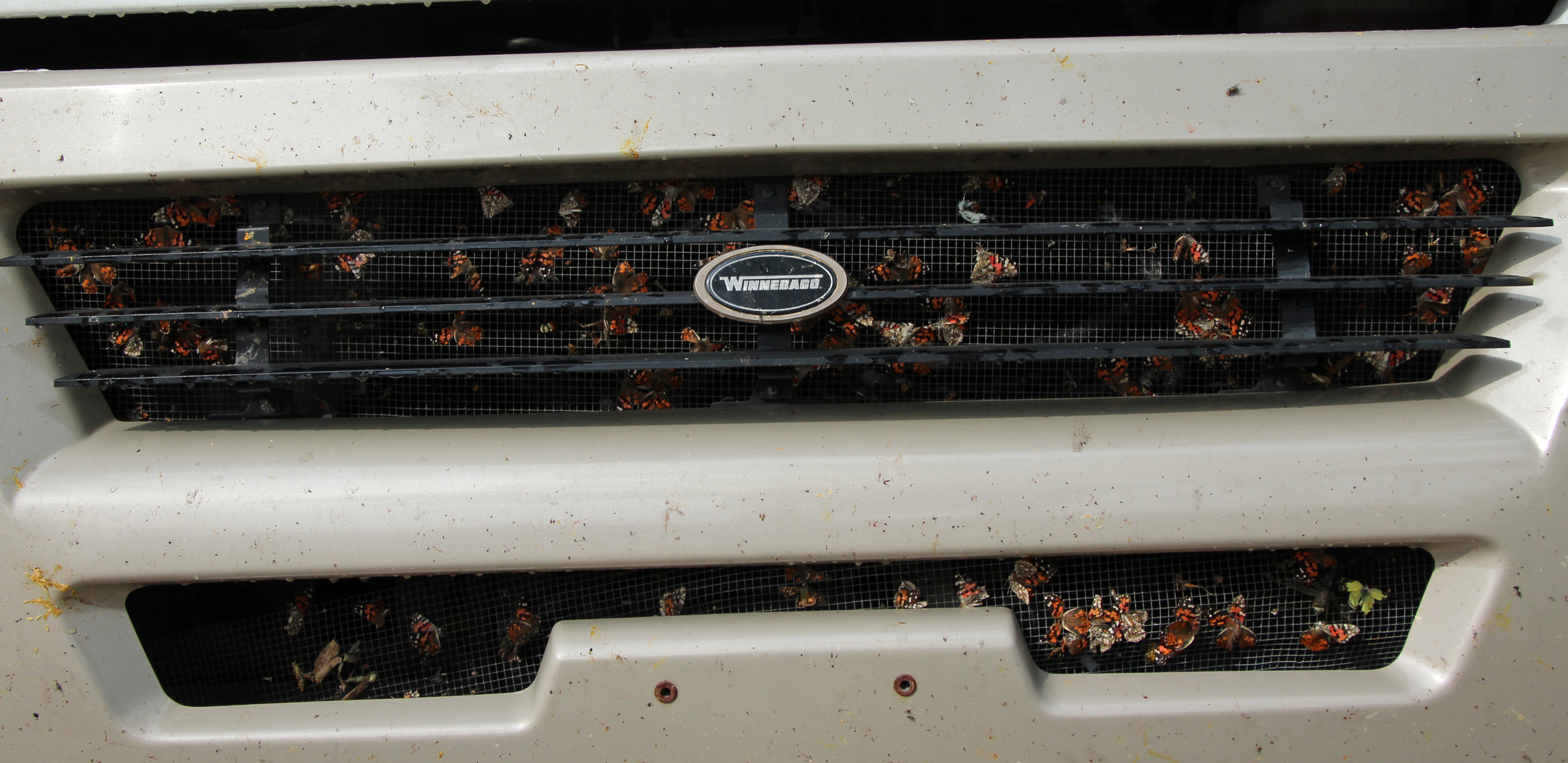
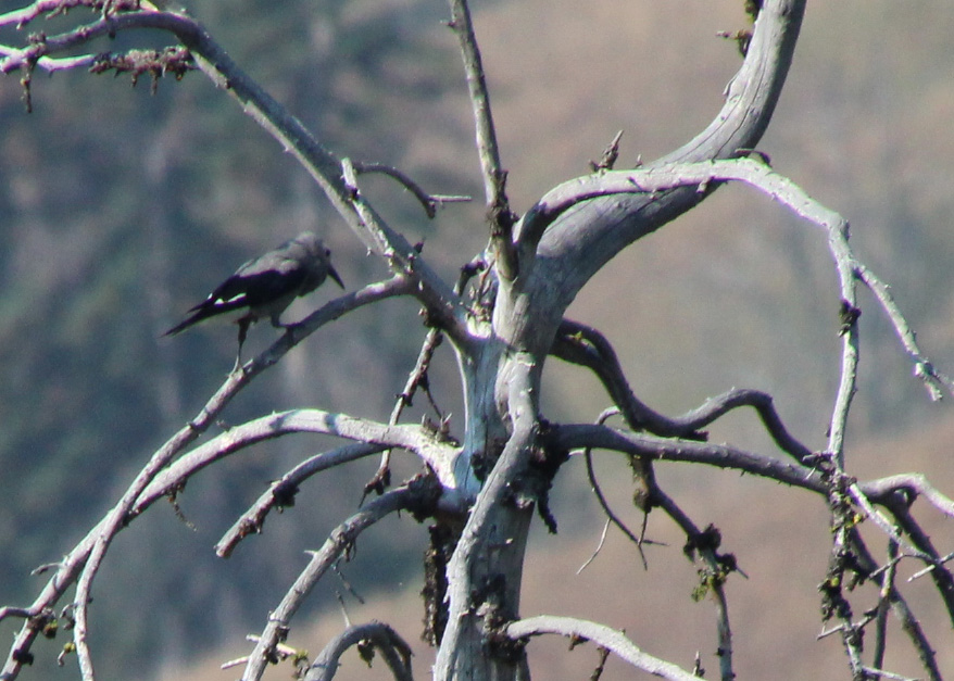
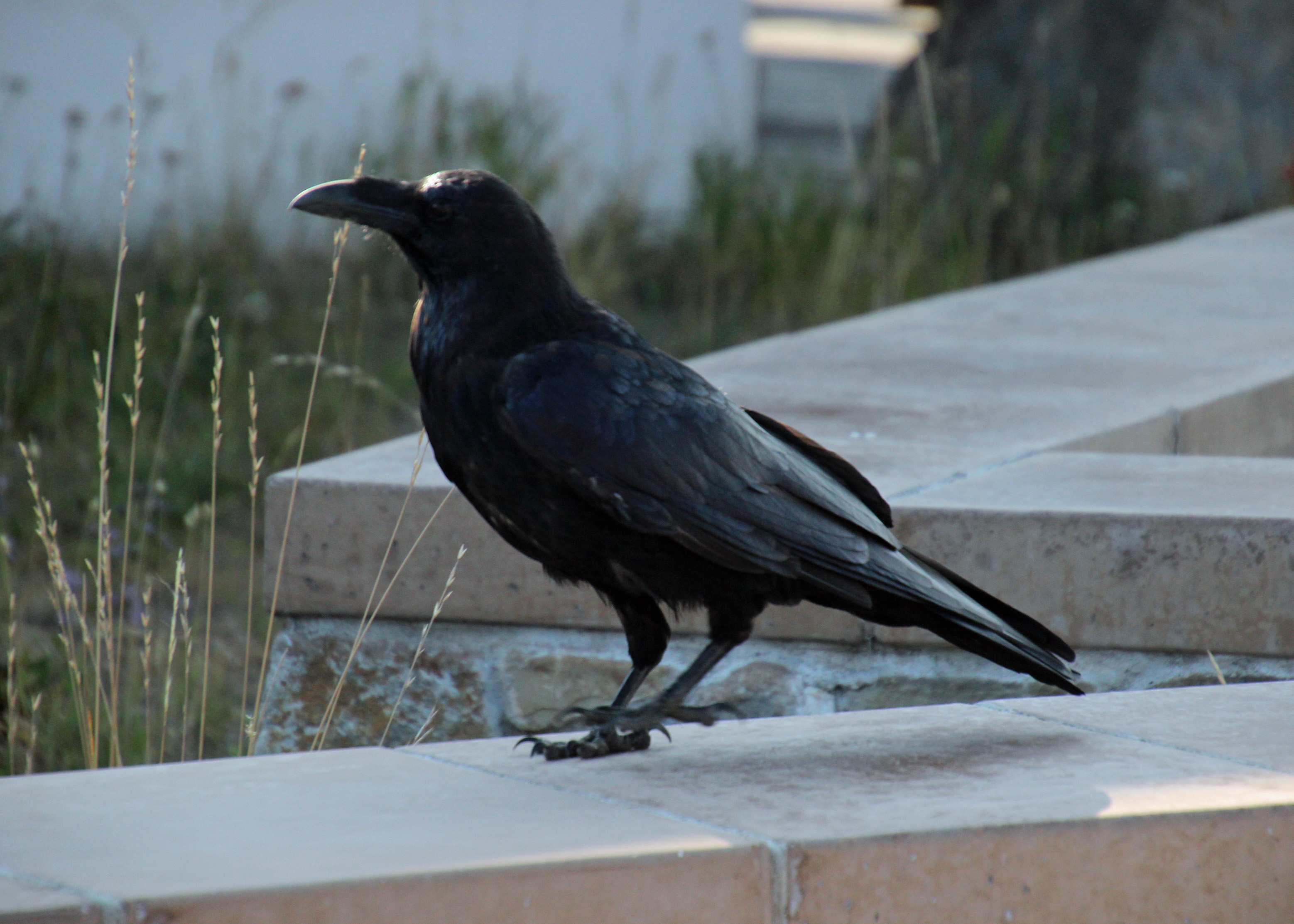
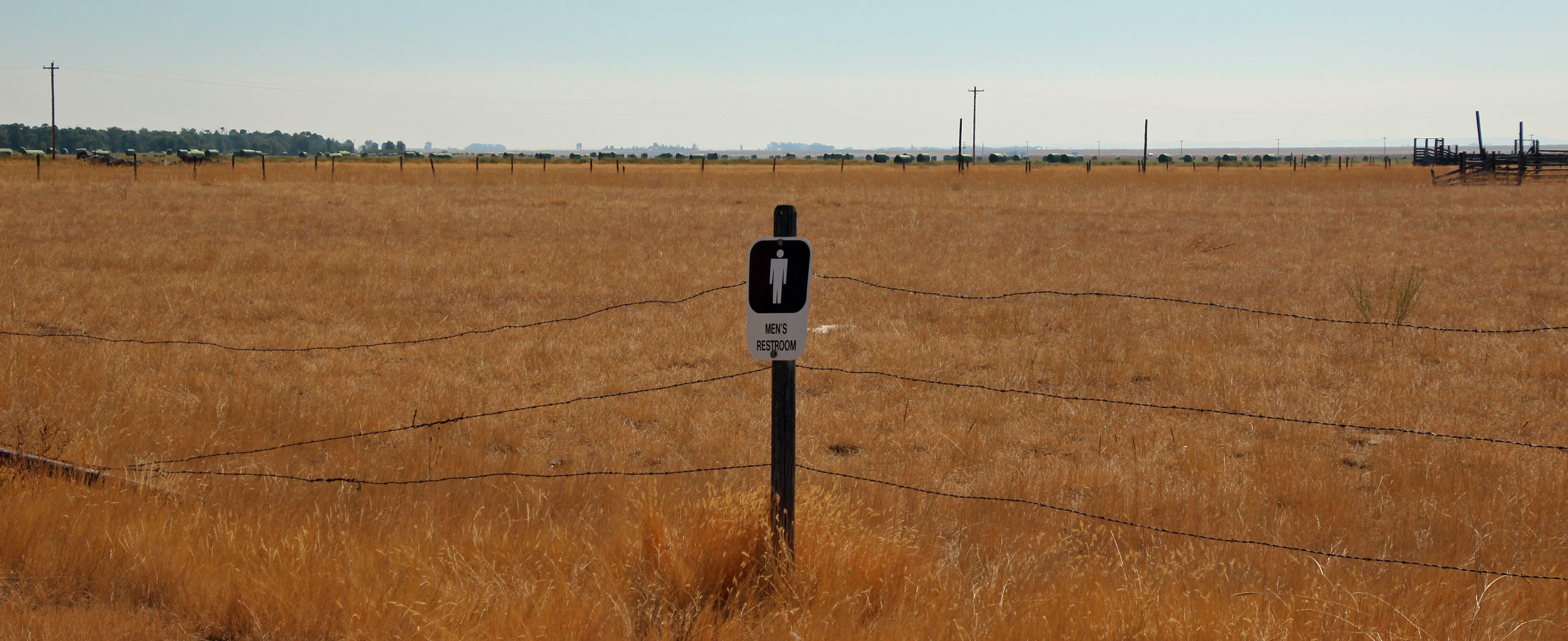
We were pretty deadly on butterflies it seems …
Rawlins KOA
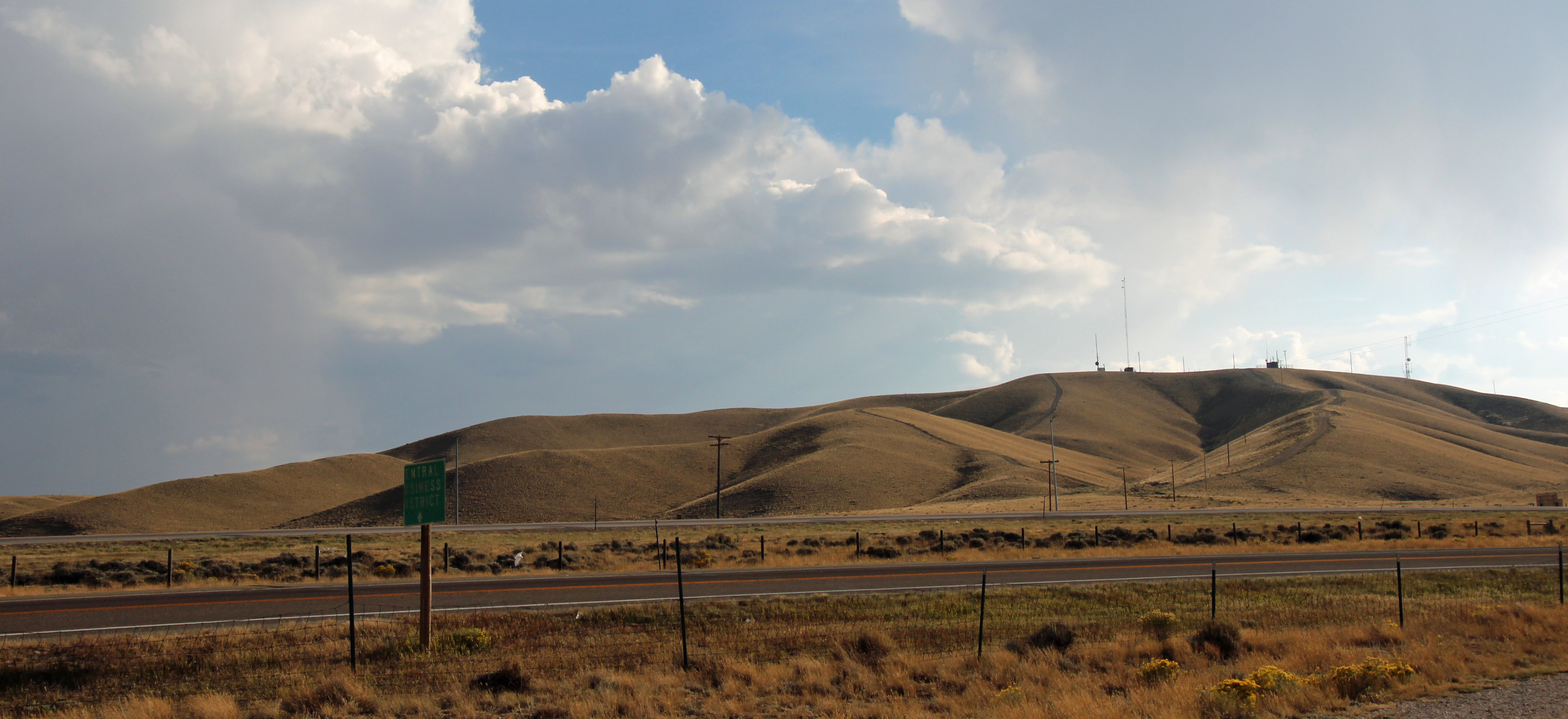
Rawlins, WY
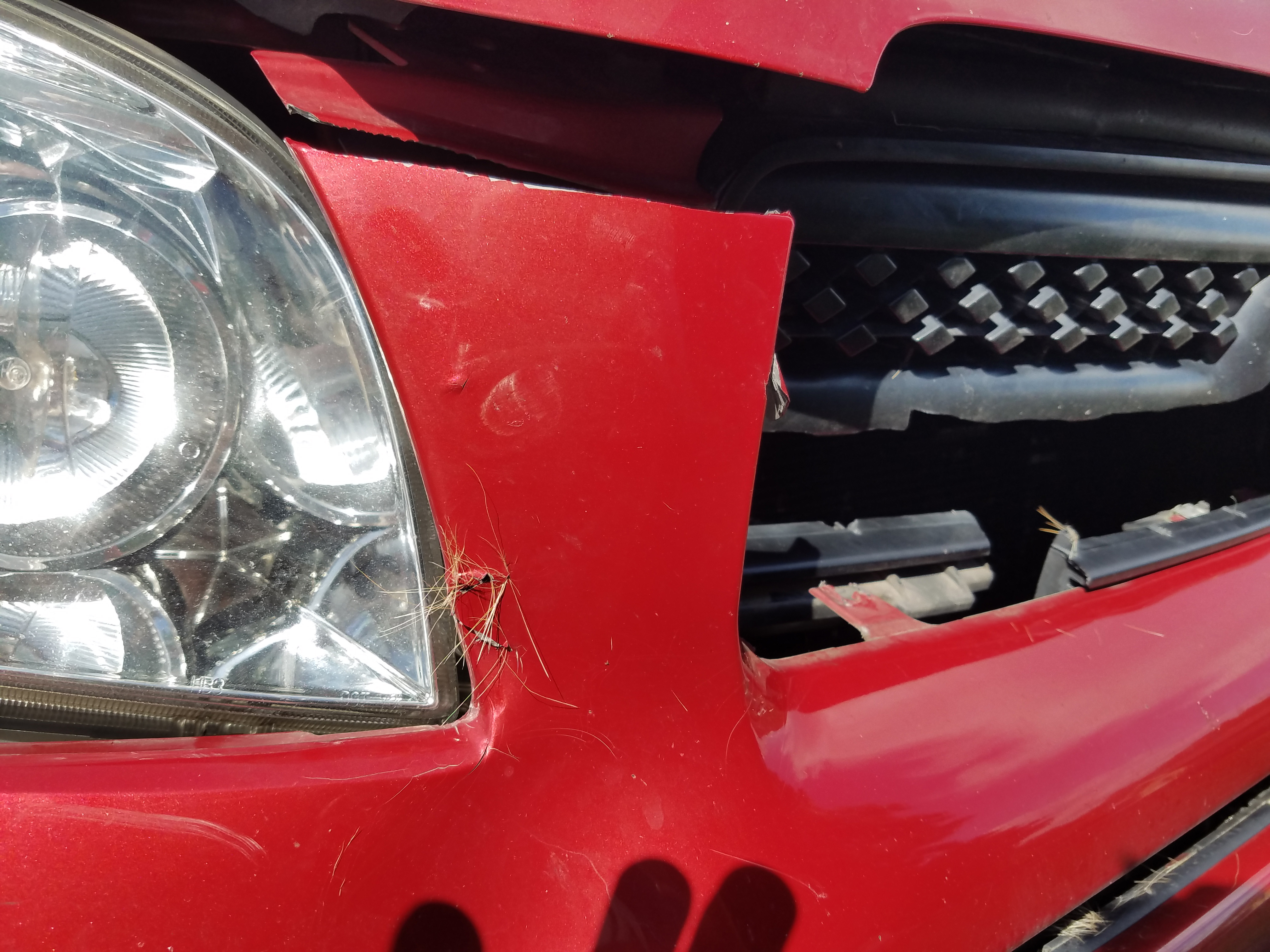
Nothing remarkable, but clearer skies with the smoke of western wildfires left behind. Next day as we got set to continue east, we noticed that we lost a hubcap on the car somewhere along the washboard gravel roads, dangit!
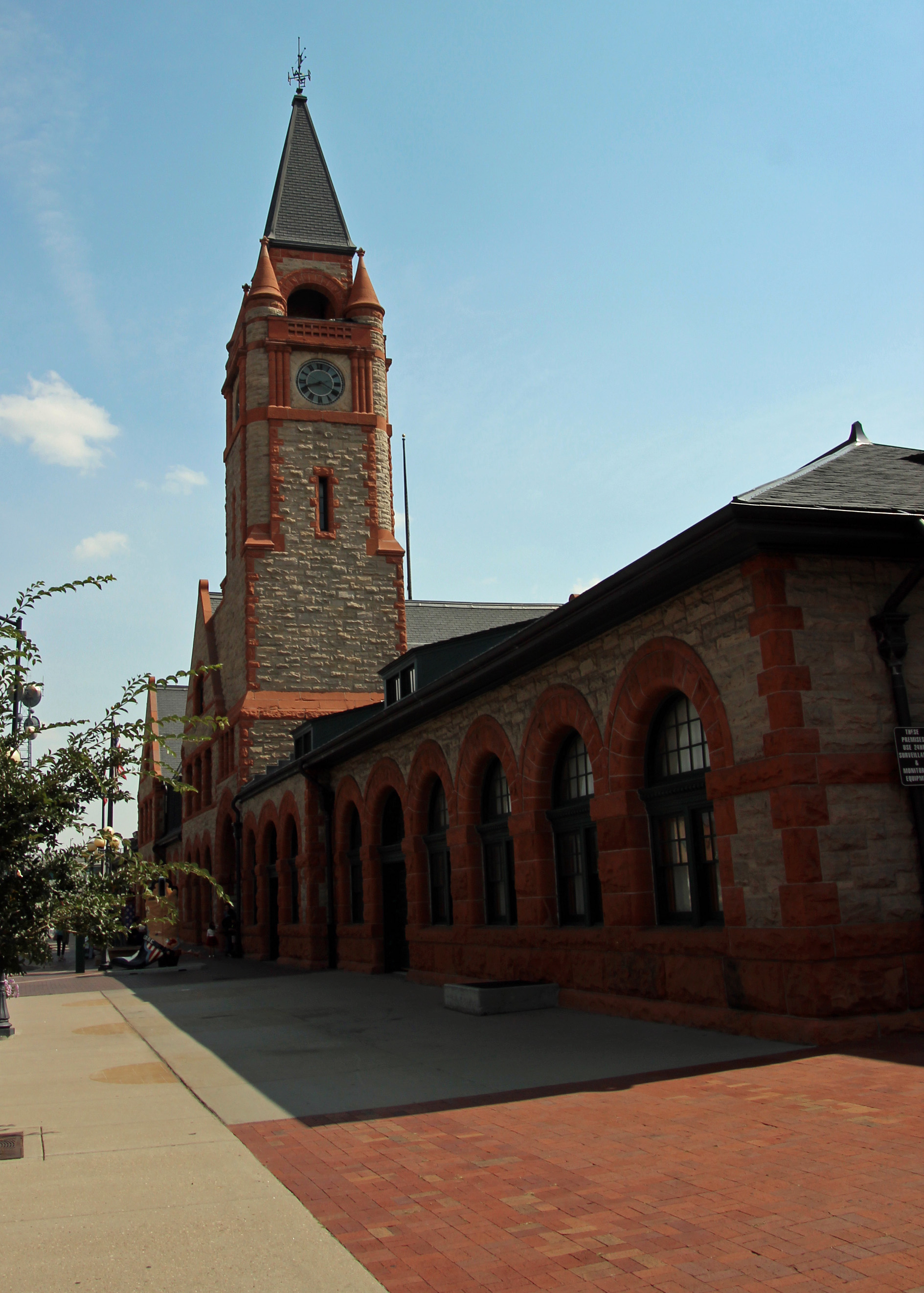
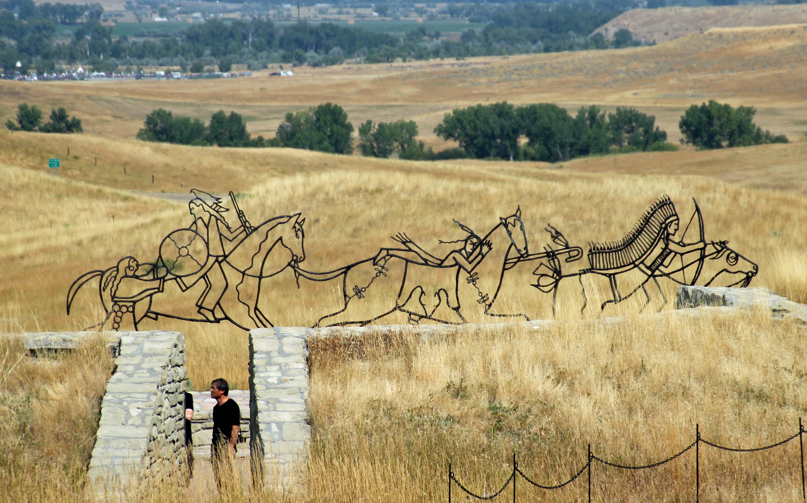
Depot in Cheyenne

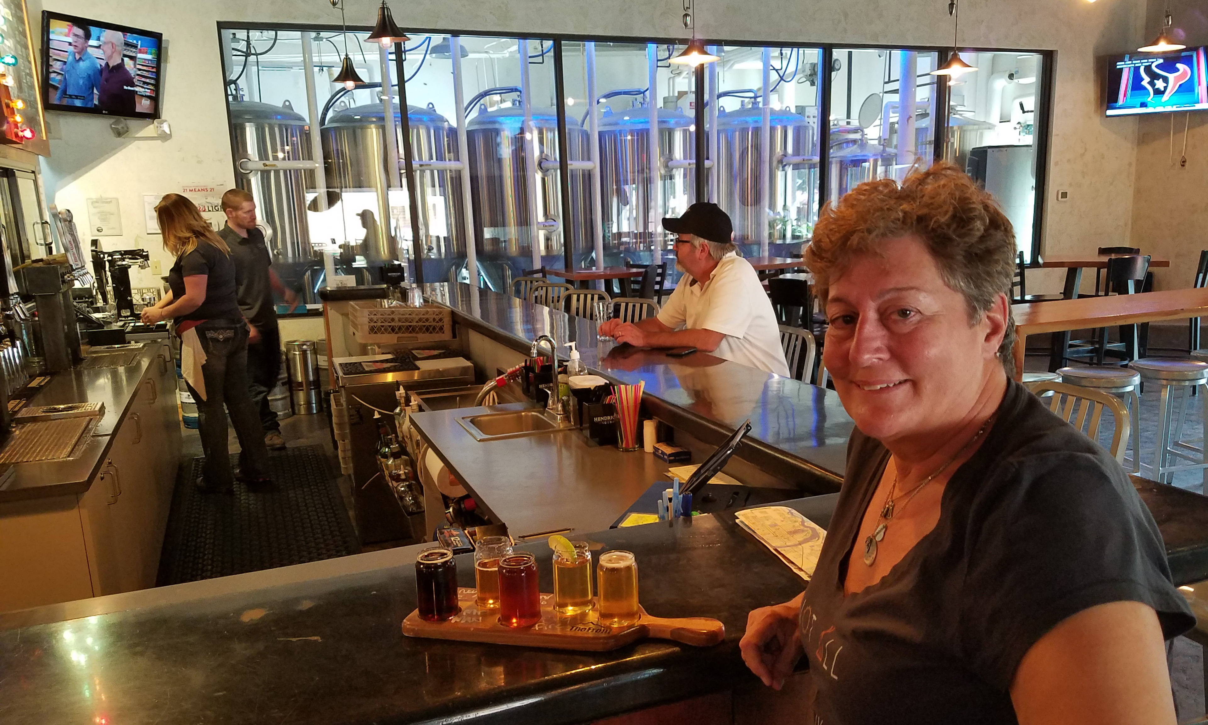
Accomplice Brewing

Checking in at Accomplice
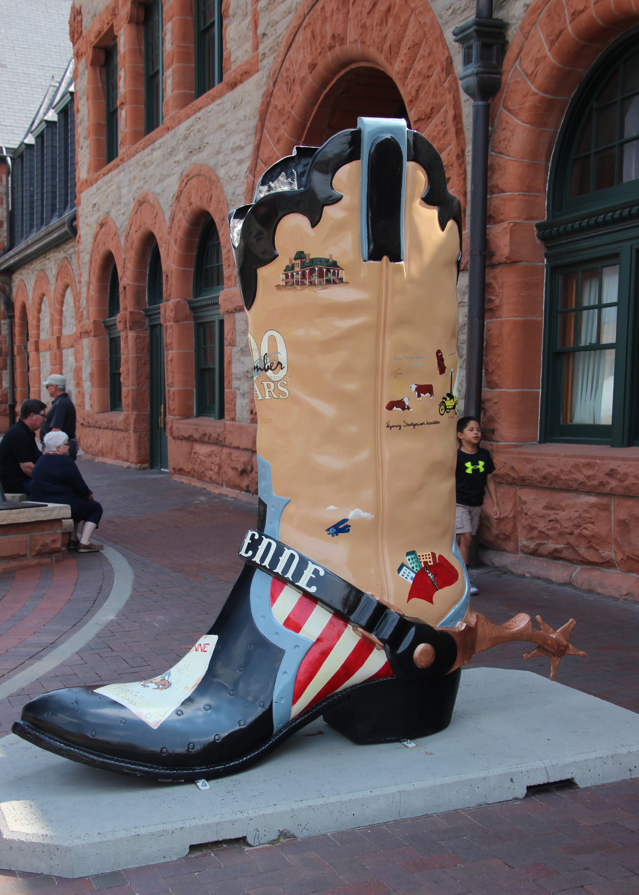
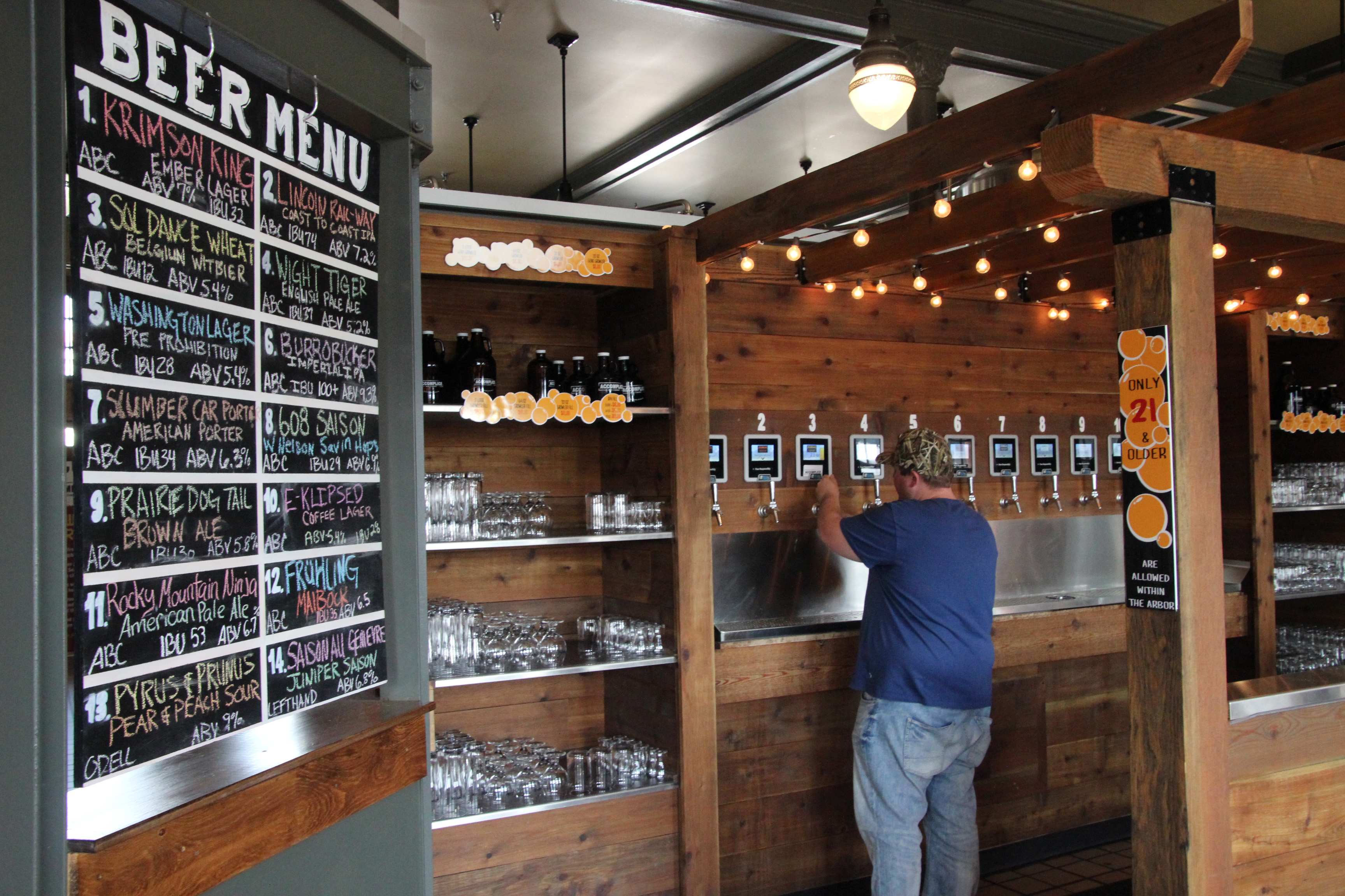
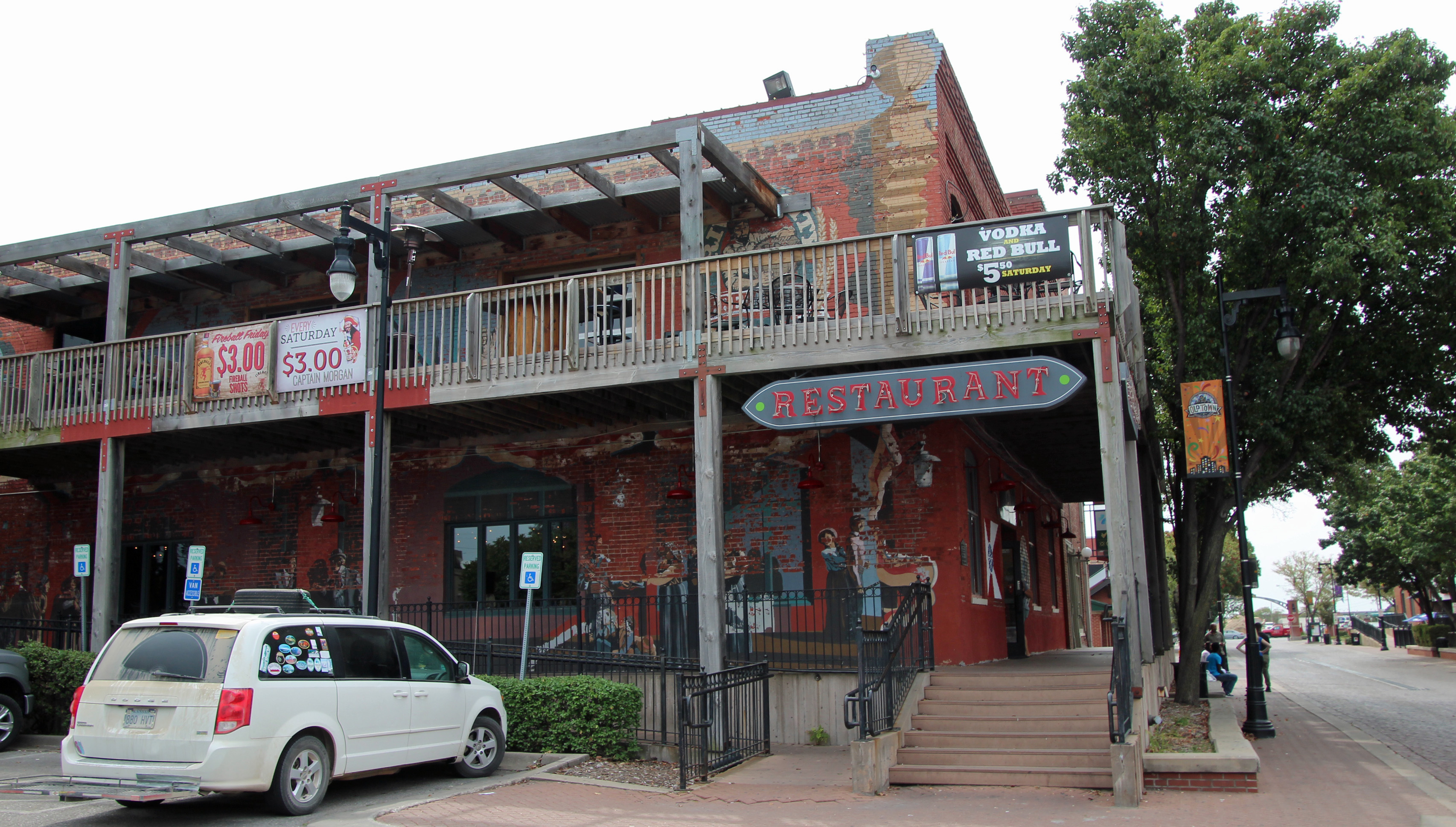
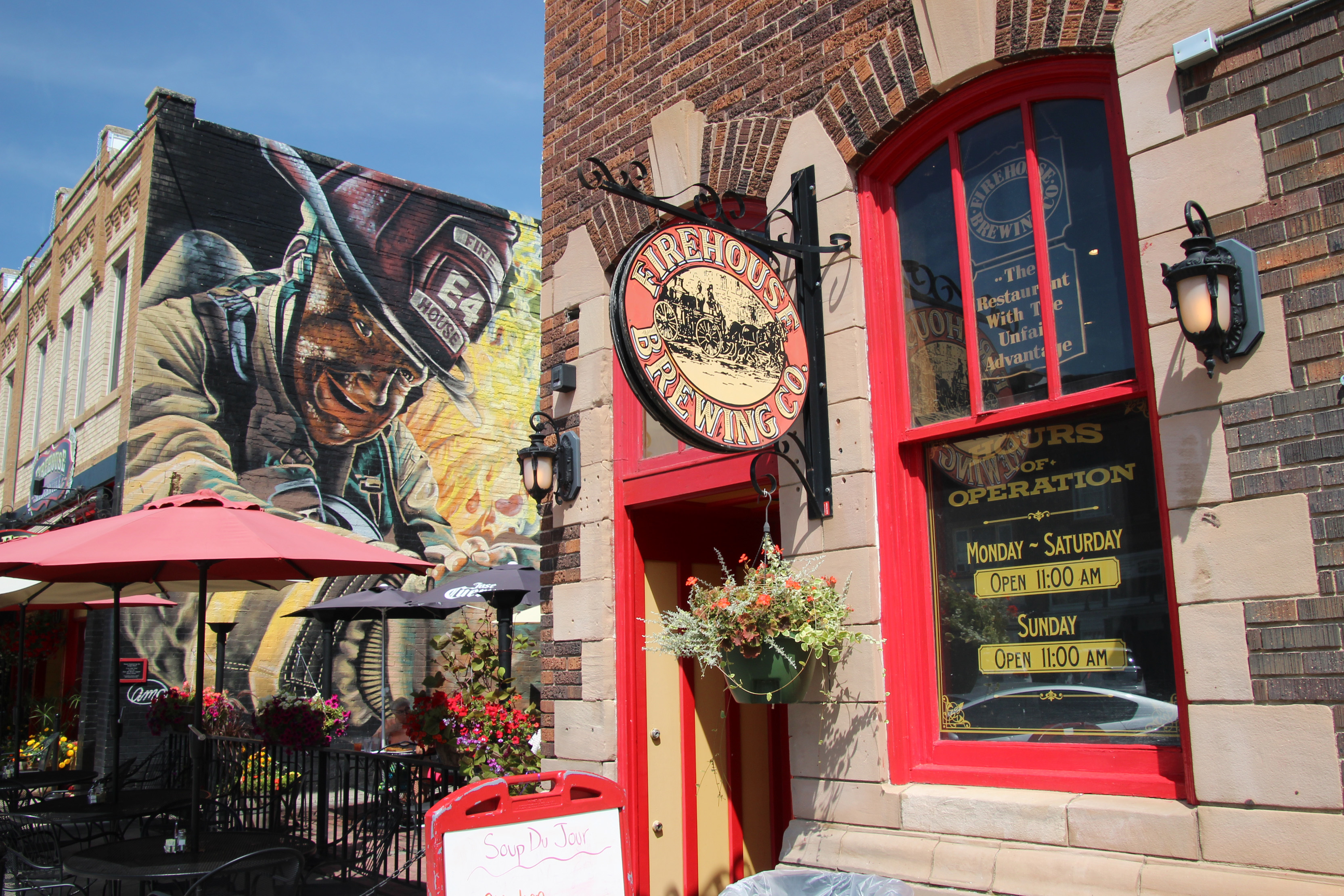
Approaching Cheyenne, we checked online to find a cool brewery was in town, and since it was lunchtime again, we headed downtown to find Accomplice Brewing in the old train depot. What a cool area that is being redeveloped. Cheyenne seems to like their cowboy boots, many of which are decorated around town.


Great way to serve yourself!
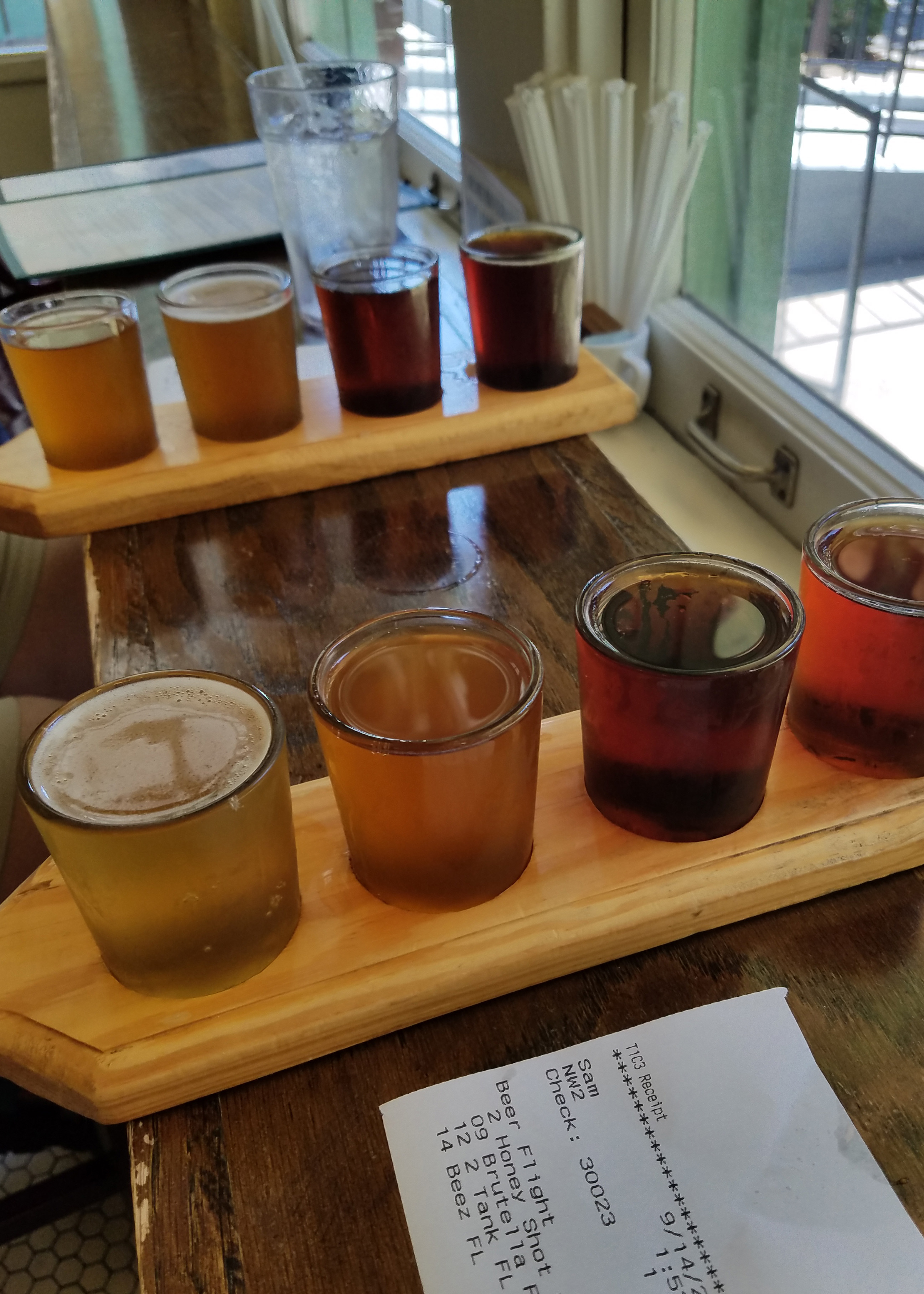
Something special at this brewery was a pour your own feature. In the tap area you choose the style of glass you want (pilsner, sampler, snifter, pint) and then choose from 14 beers. You get a plastic magcard to record your samplings, place it against the screen above the tap and it tells you how many ounces you are pouring and what the final cost of your pour is. You settle up when you leave.

Since it was lunch, we ordered a plate of pork nachos (on house kettle chips) that hit the spot, with a couple of pretzels and beer cheese to go with it. Nice bit of heat to accompany the various brews on tap. We liked the sours, saisons and hefeweisen.
Nebraska

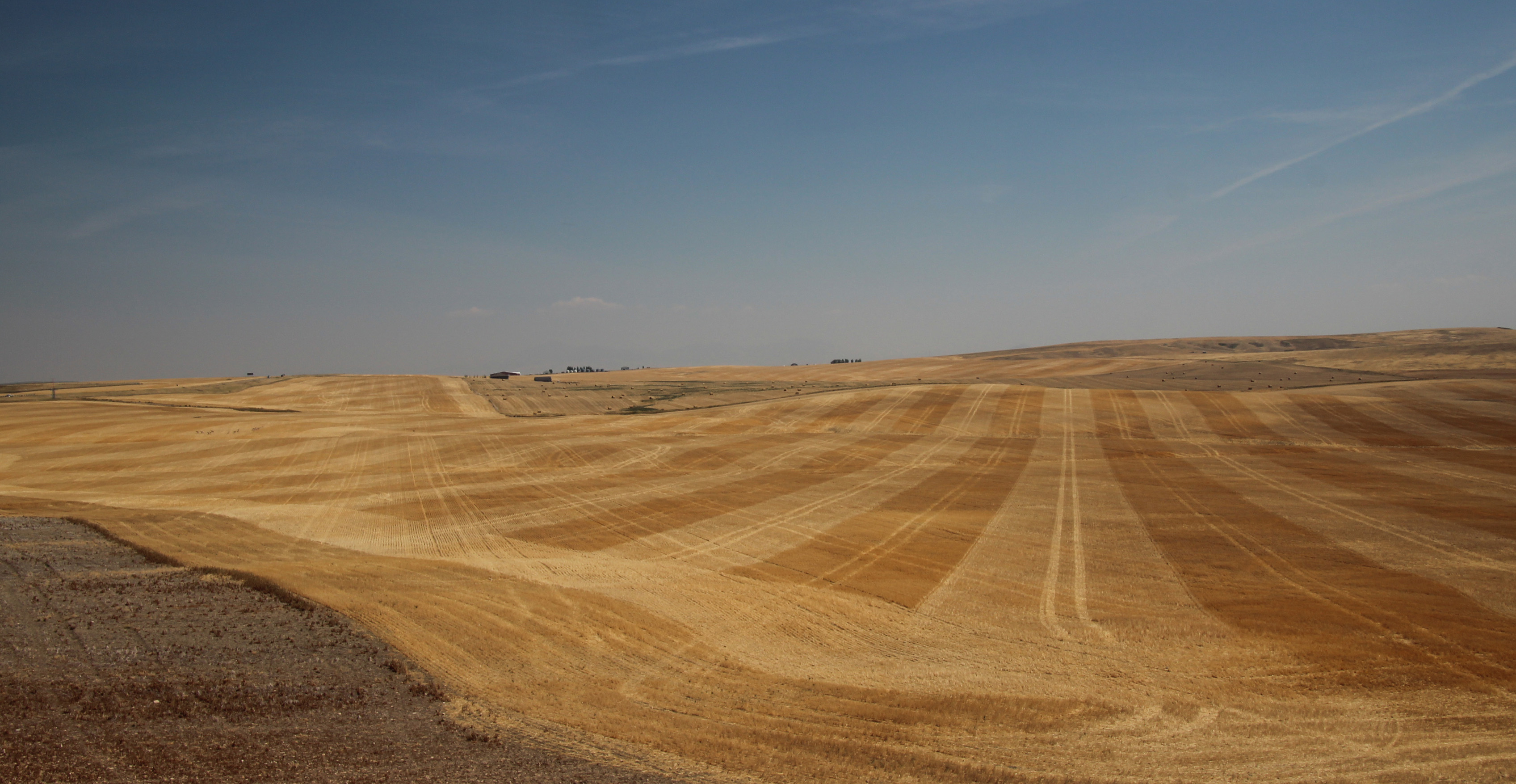
Back in the camper again and heading down the road, we crossed into Nebraska, a new state for us, and made it to Ogallala to stop for the night. Driving through southern Wyoming and into Nebraska was pretty much a lot of sagebrush scrub flatlands, becoming a bit more cornfields and crops in Nebraska, but still pretty wide open plains and not a lot of trees. Ogallala’s campground was in the middle of a cornfield and you could smell the corn on that warm night.
Kansas


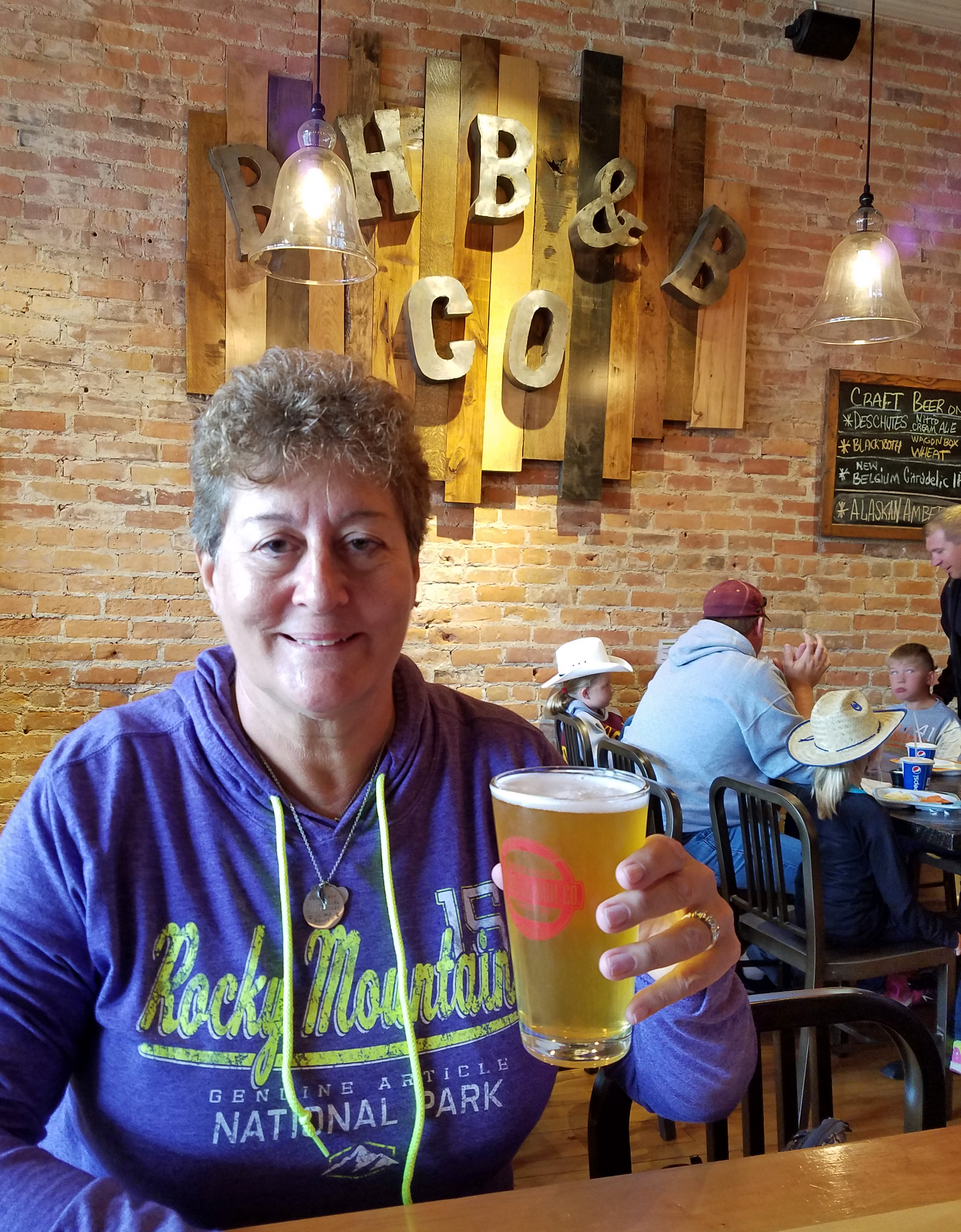
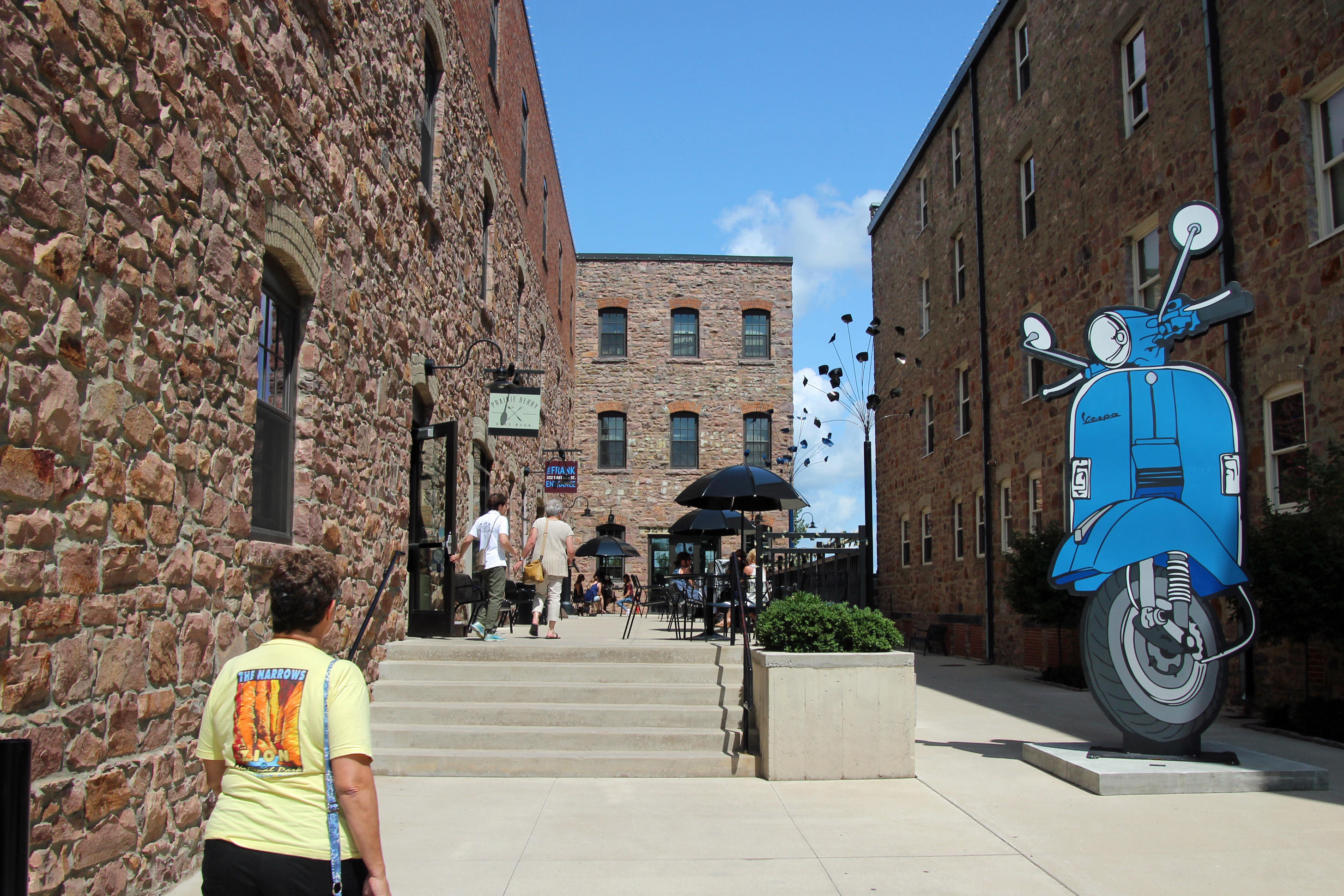
From mid-Nebraska we turned south after following the Platte River and stayed the night in Salina, Kansas. Lots more cropland, as the land flattened out and you could see hay, corn and soybeans being harvested. The next day we were approaching Wichita round about lunchtime and lucky for us there were several breweries in town. Well, you could hardly pass up the chance to stop for gas and then have lunch at one of them, so we found ourselves a nice big parking lot near the Old Town section of Wichita and headed for River City Brewing. We were very impressed with this part of town, which had brick-cobbled streets and many old warehouse apartment conversions and plenty of restaurants and shops.
River City Brewing

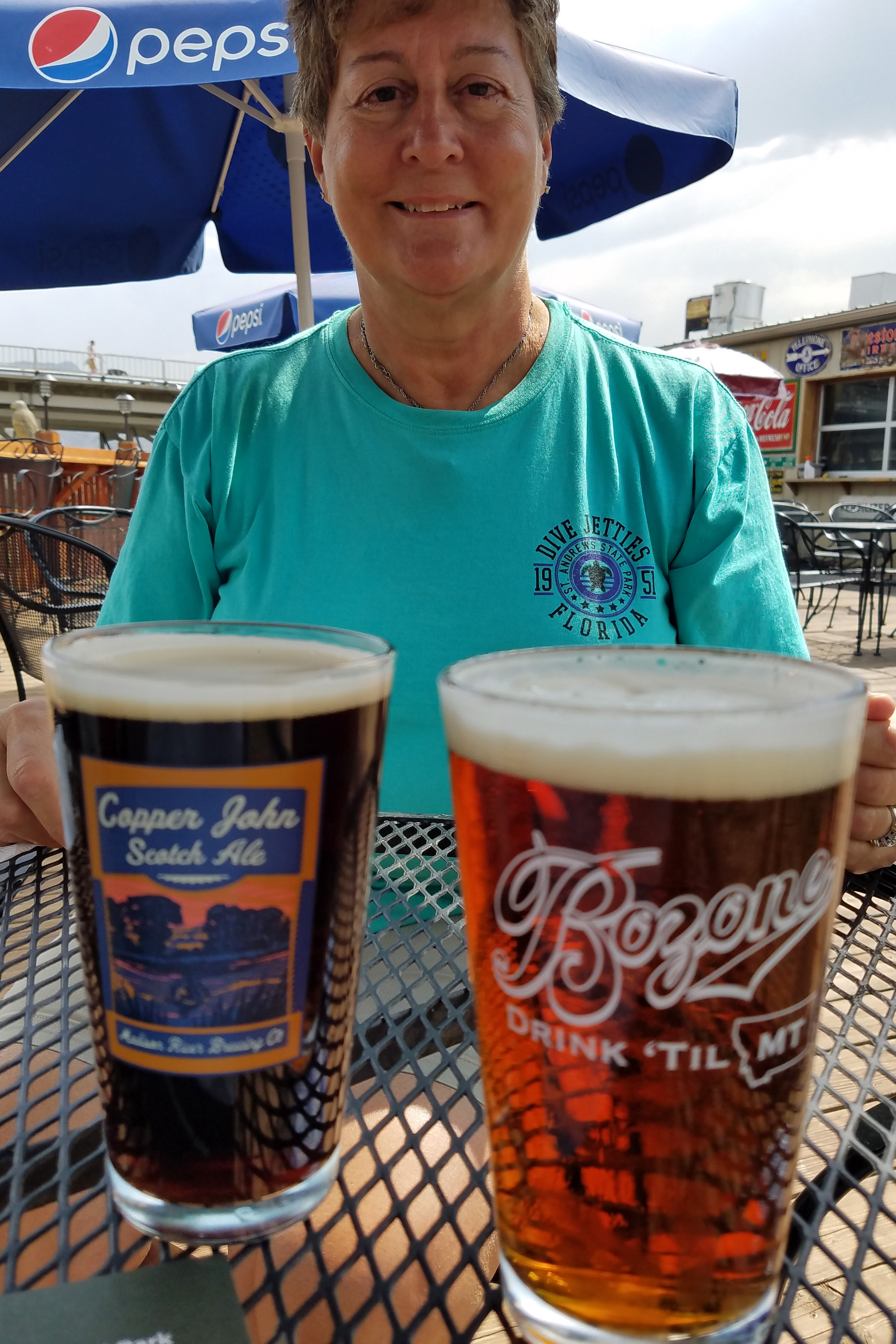
Ordered a flight of beer at RCB and Jackie got a thin crust pizza that was delicious (she shared some) and Doug ordered mac ‘n cheese with Kansas City sausage and barbecue sauce on top – really good food. Nice spot and easy access for us. Back at the camper, Kodi and Merlin were quite content and off we went to find a spot for the night further south. I found myself humming Glen Campbell songs along the way …
Oklahoma
We crossed into Oklahoma, another new state for us, and found an odd city park along a lake just off Interstate 35 north of Oklahoma City. The city of Perry had this grassy bluff of 10 pull-through campsites, full utilities, on a pay-at-the-box basis. What fun – just four of us there for the night, listening to cows in the distance and looking up into a dark night sky. Oklahoma has very few trees, too. Mostly grasslands and cropland, but you sure can see the horizon easily.


Arkansas

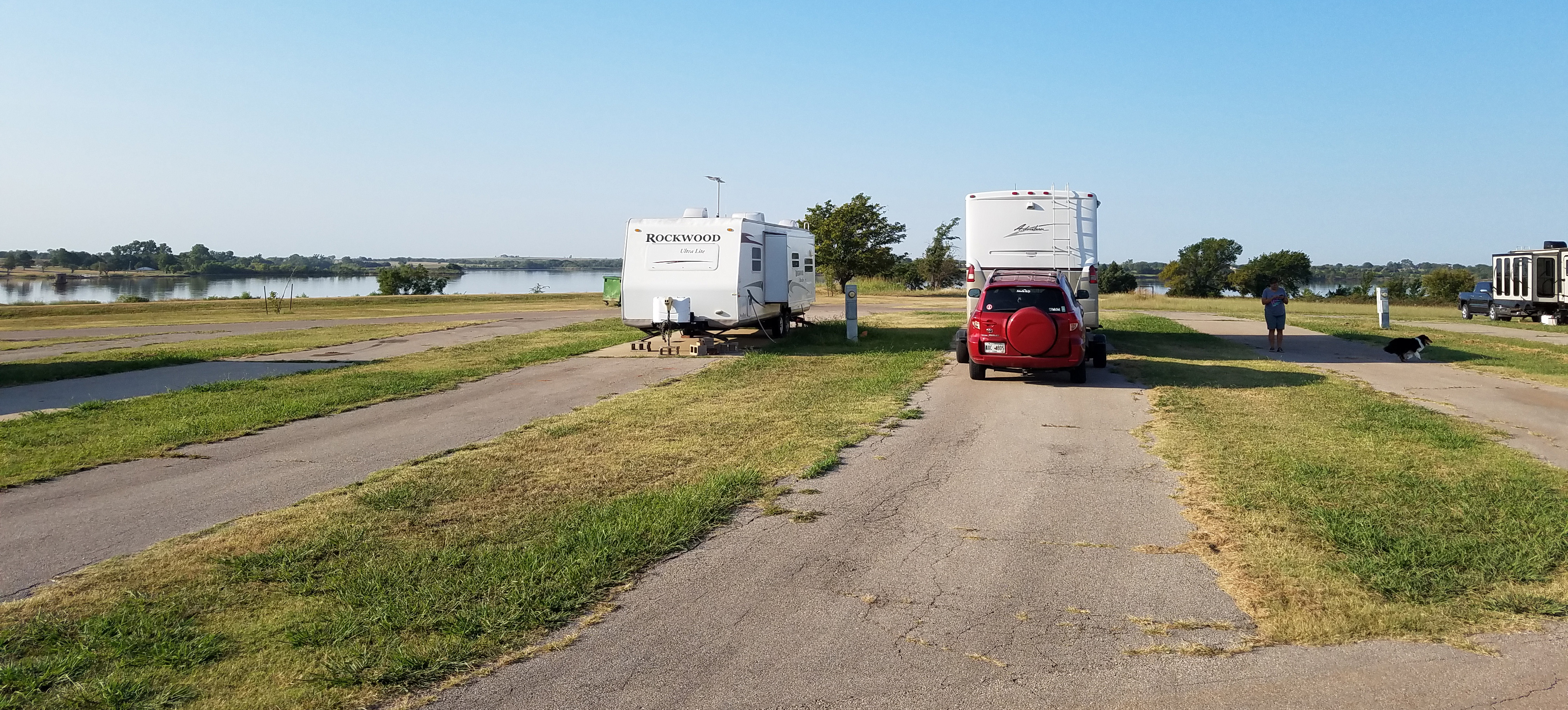
Lake Dardanelle
Ok then, more driving yet to go. Up and out in the morning, we passed around Oklahoma City and drove east into Arkansas, making our way east on Interstate 40 to Russellville and another cool discovery: Lake Dardanelle. It is an impoundment of the Arkansas River and the state park that offered camping was quite nice. Maybe 4 of us in camp that night. Our goal was to make it to Hot Springs National Park the next day to stay in their campground, but it was not reservable, so we wanted to get their early. It was not a long trip, only an hour and a half, but it was a “scenic” route, which we know means curvy, hilly and slow going. But we got there, got a nice spot and unhitched the car (back-in sites) so we could also go into town.
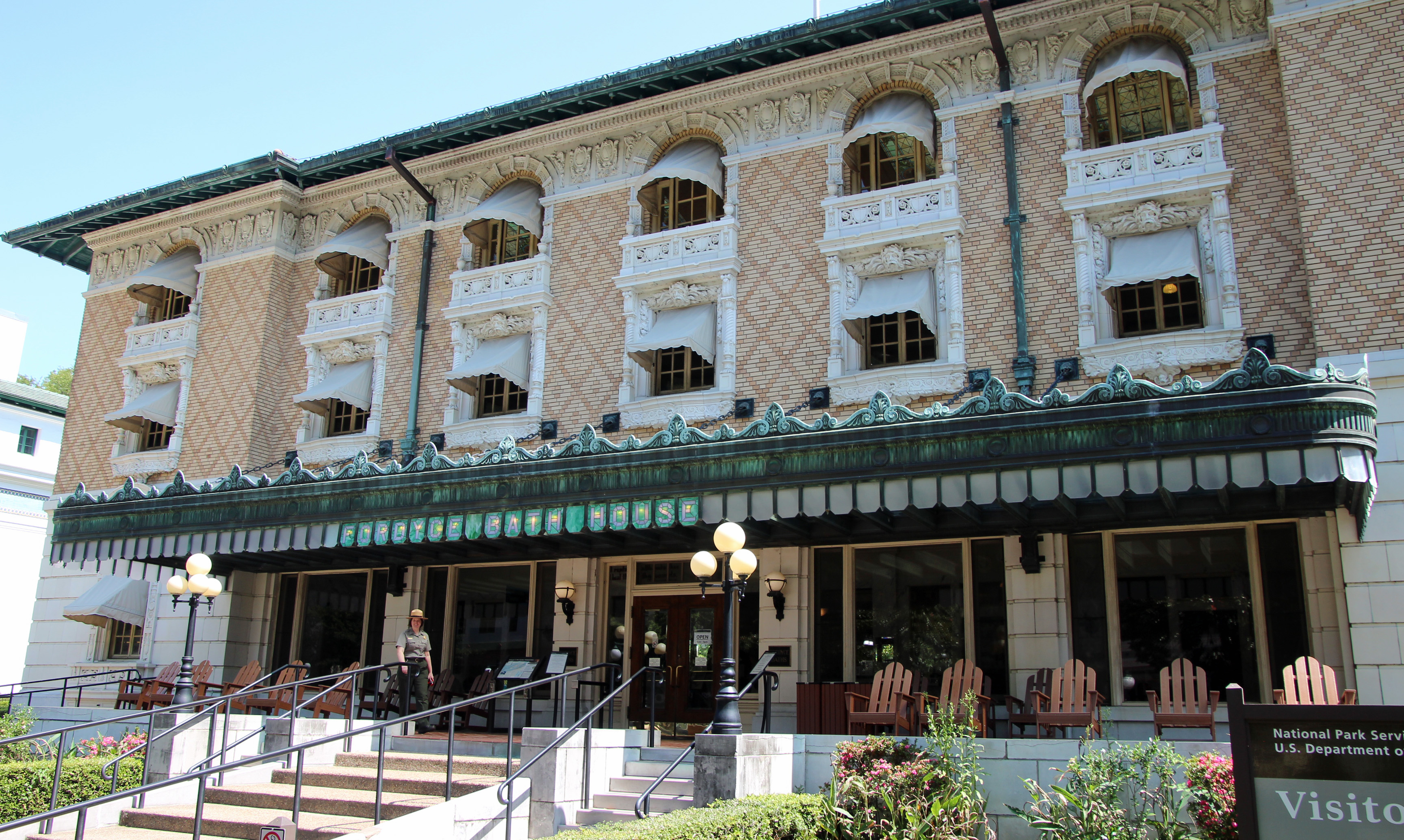
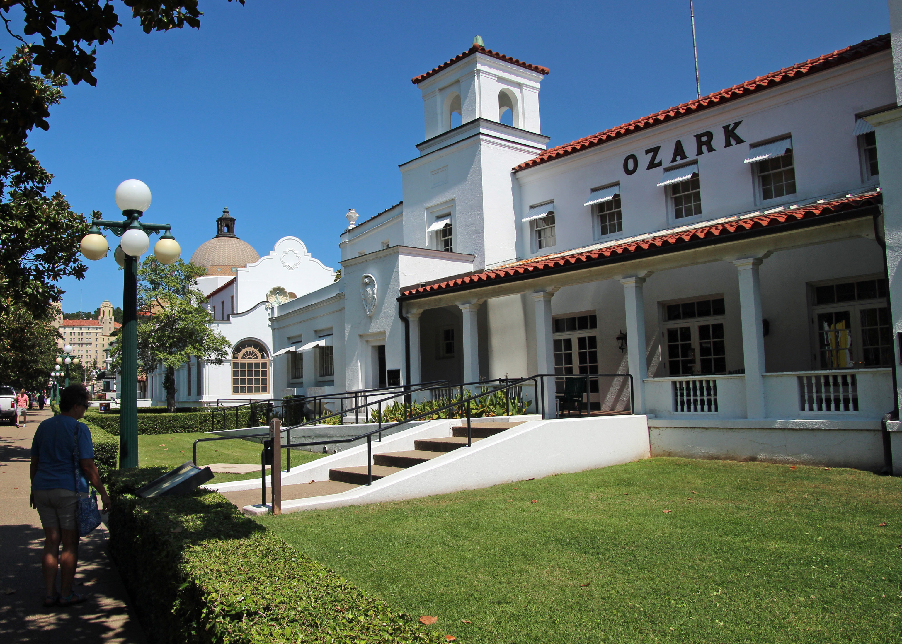
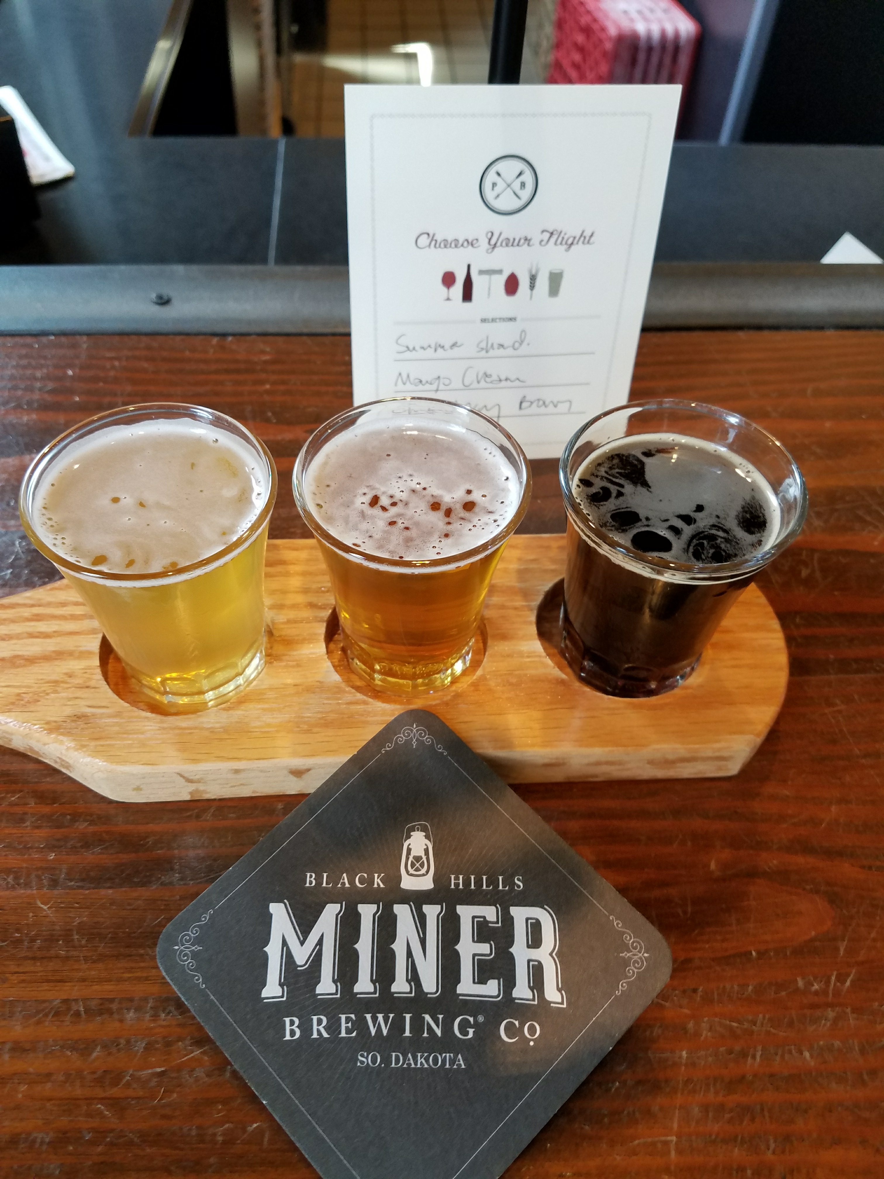
Hot Springs National Park
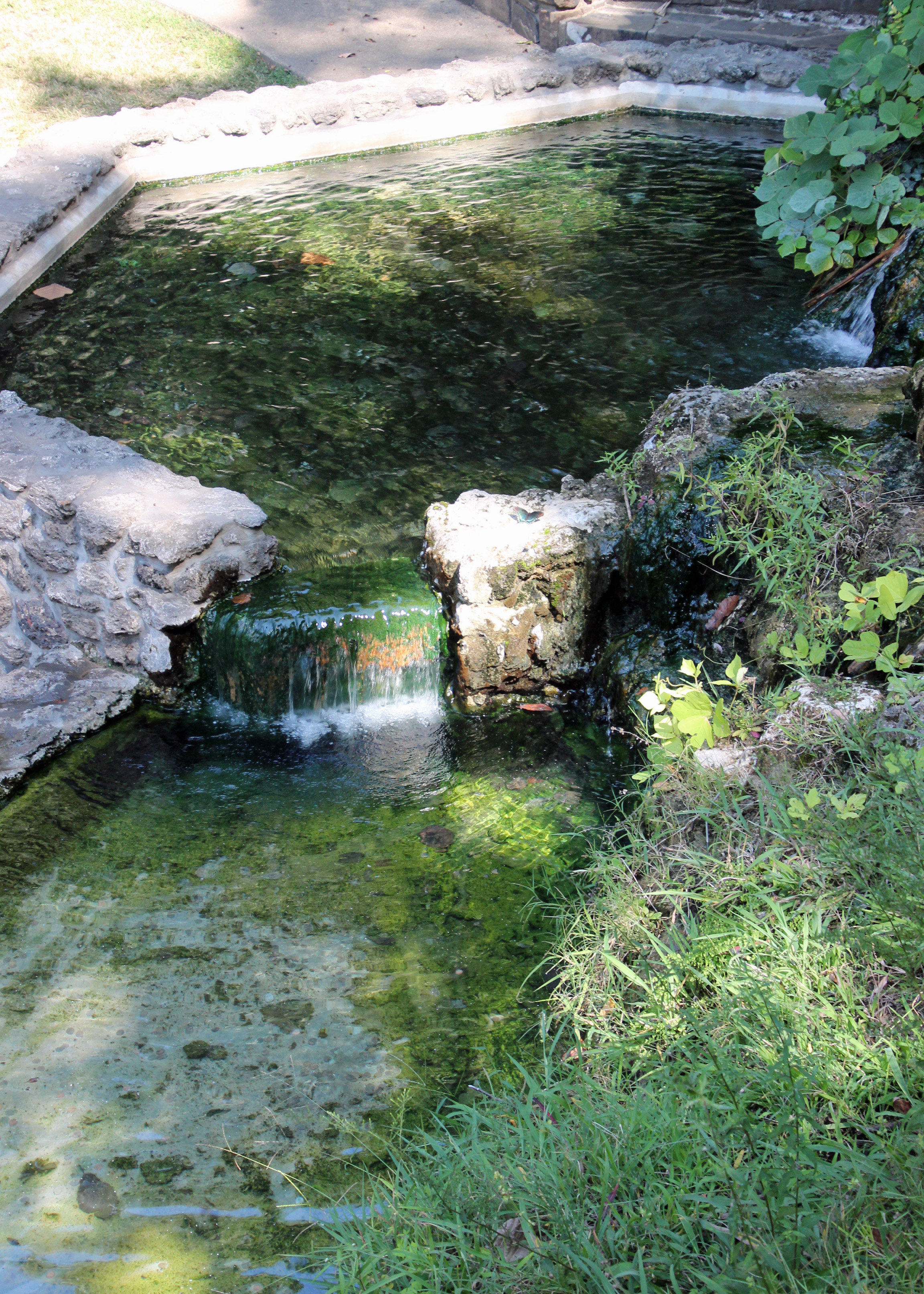
Hot Springs can give you the impression that it has seen better days, and indeed it has: around the turn of the century. The hot baths that sprung up because of the hot mineral springs are all now part of the national park as bathhouse row and you can tour a few of them.


A few still operate as bathhouses and spas, and one, to our delight, was a brewery. I think maybe we have the strangest luck, finding these beer joints nearly everywhere. We had to patronize Superior Brewing, ordering a flight of 4 beers each and texting family about it, when Alex hit us back to say they had been there last Christmas. Nearly the same seats at the bar, too.
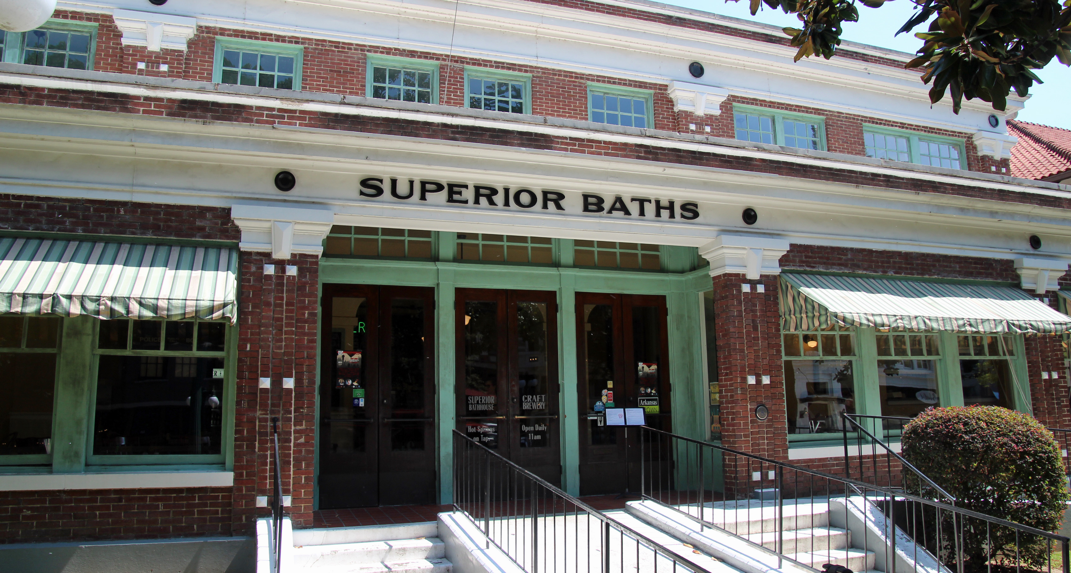
Superior Brewing inside the bathhouse
A flight from Superior
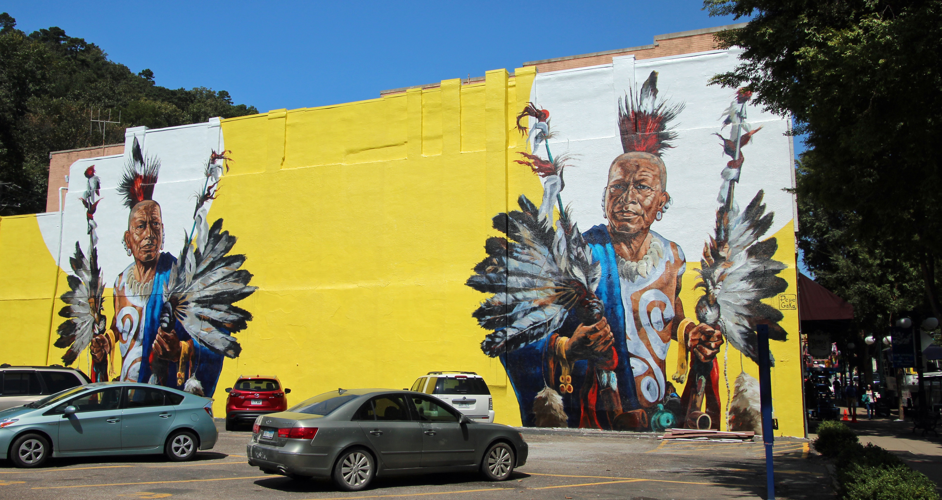
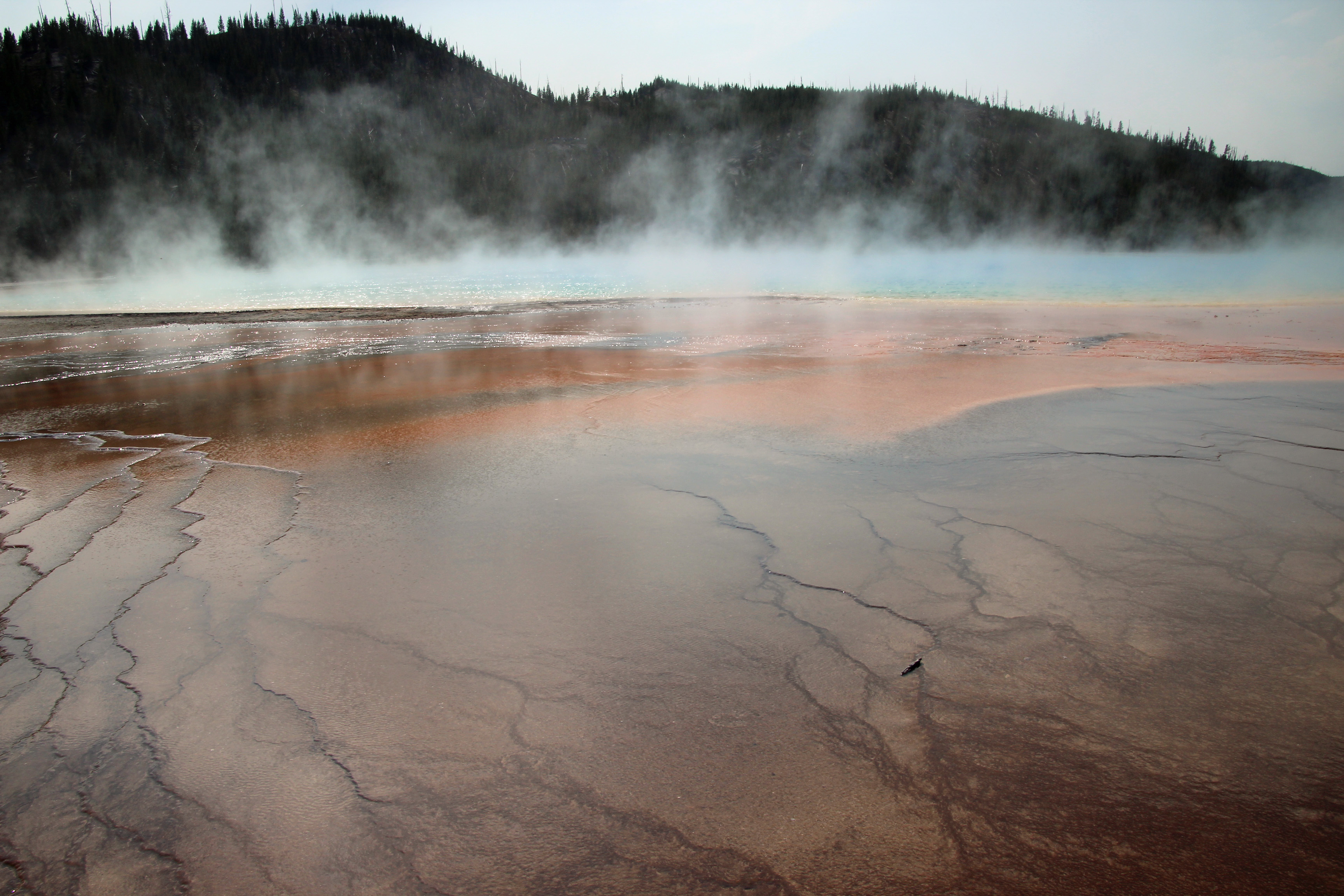
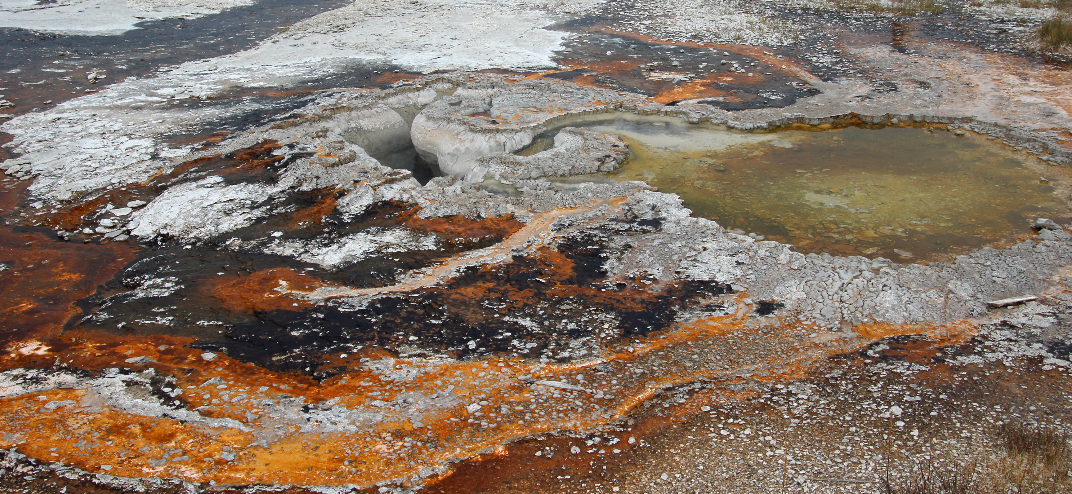
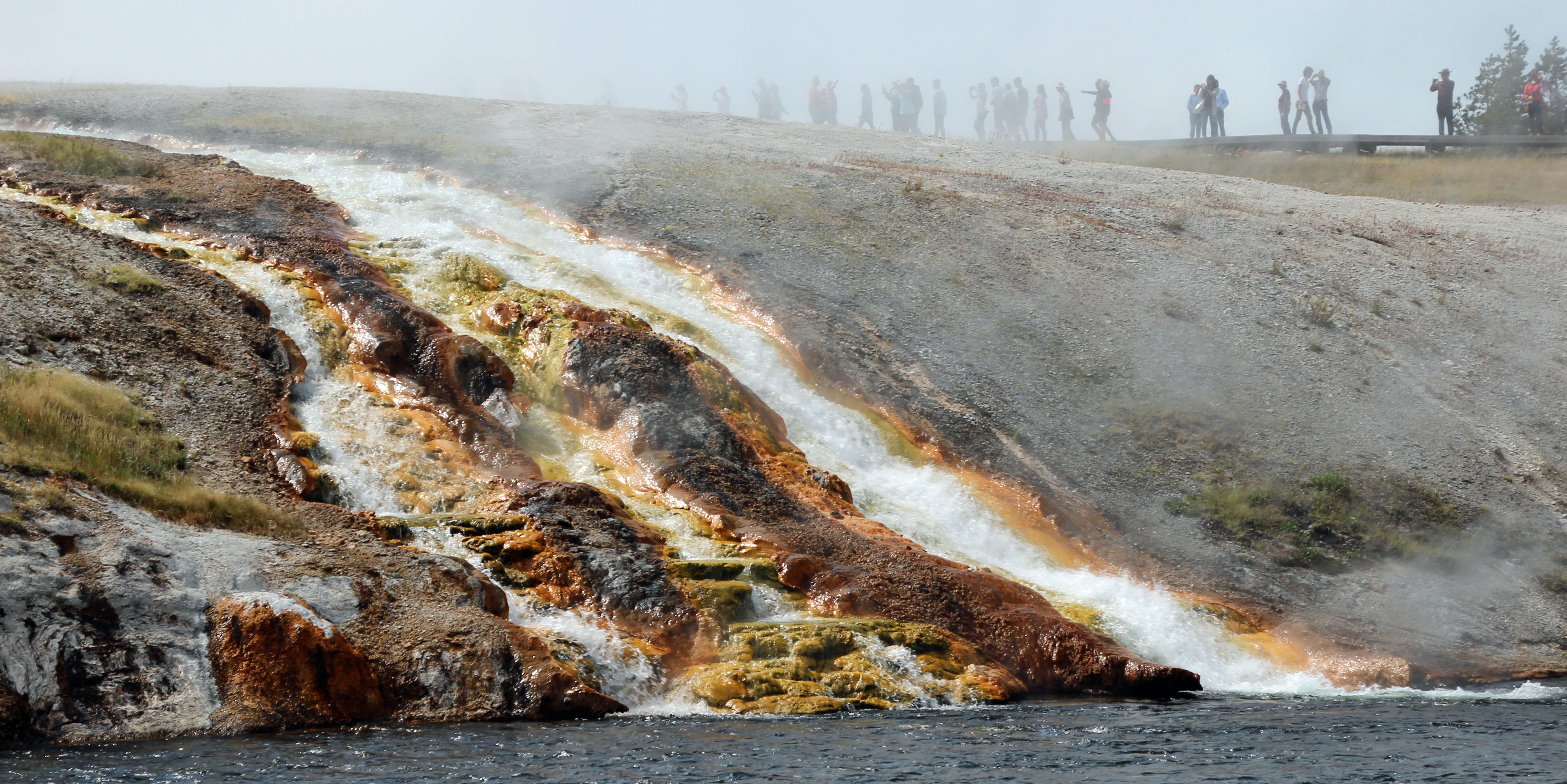
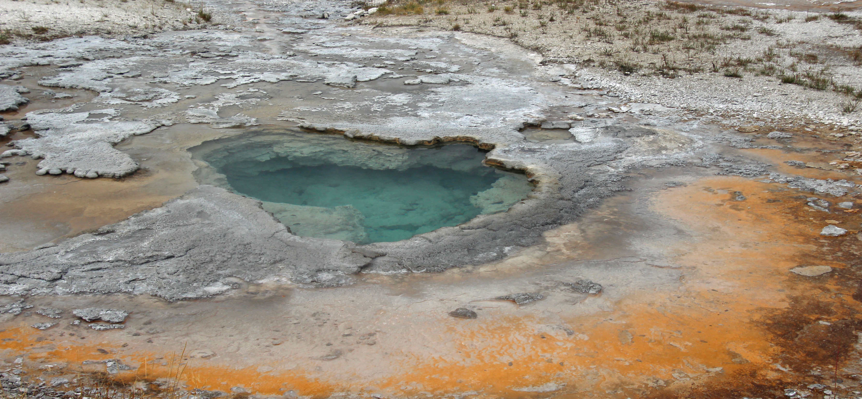
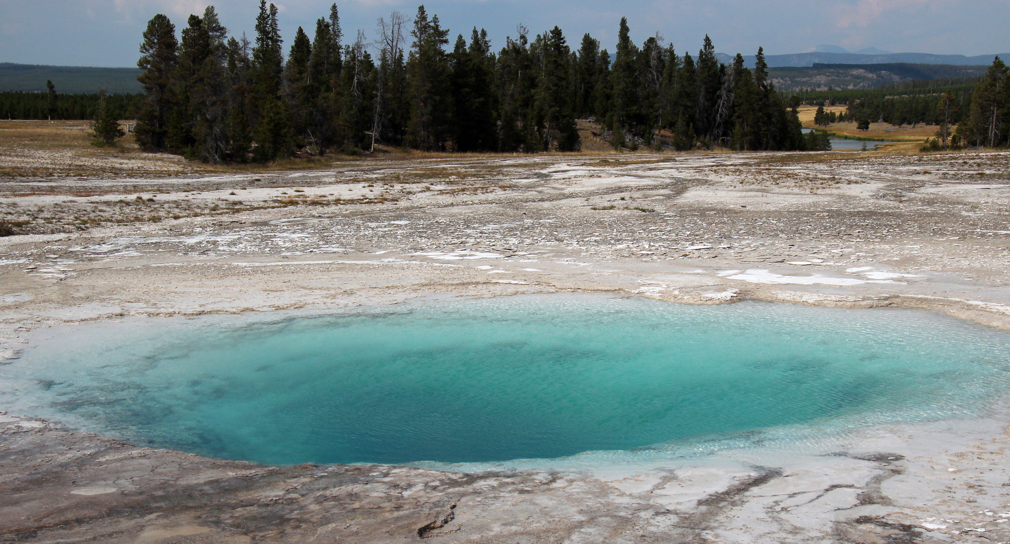
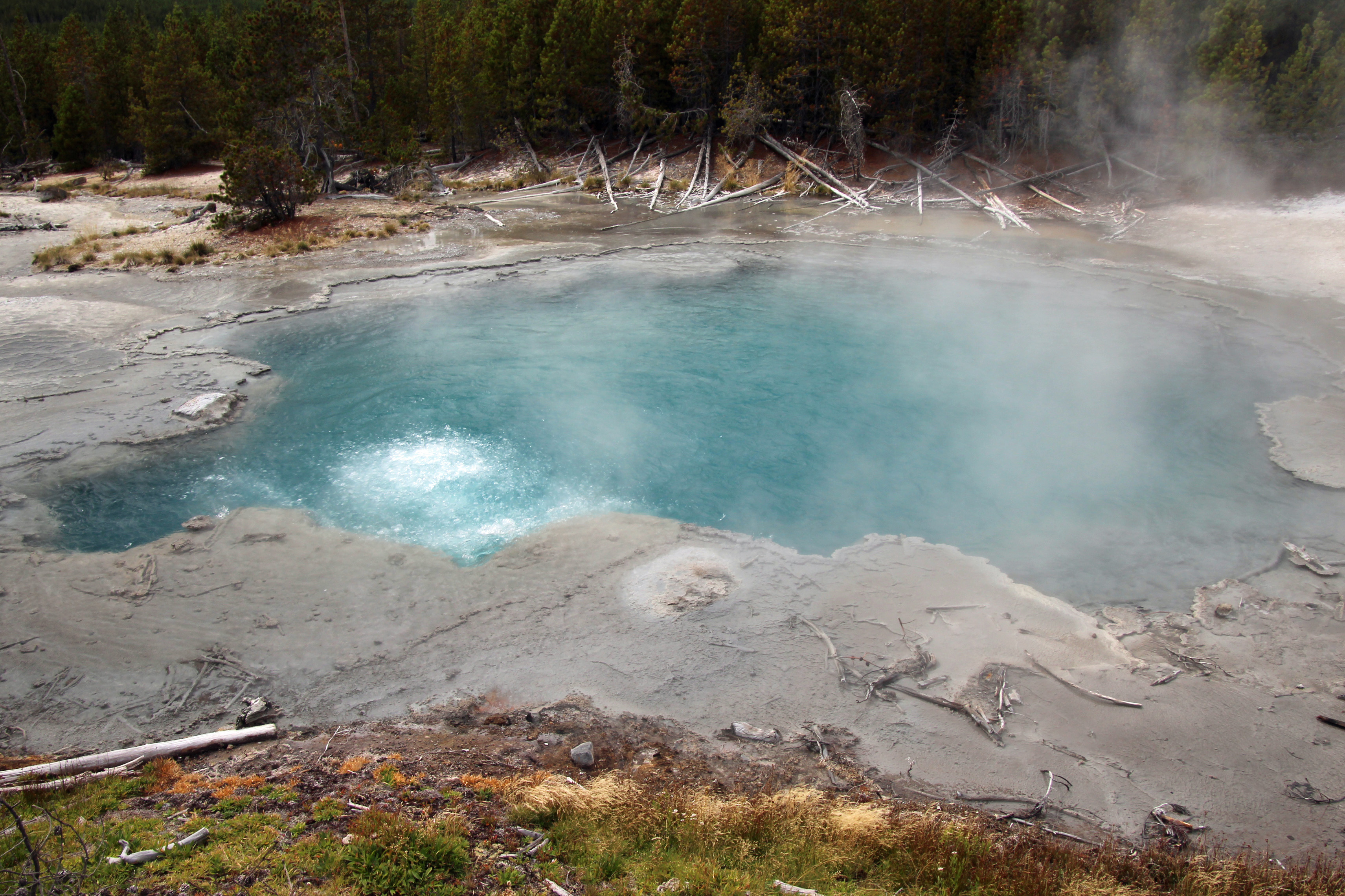
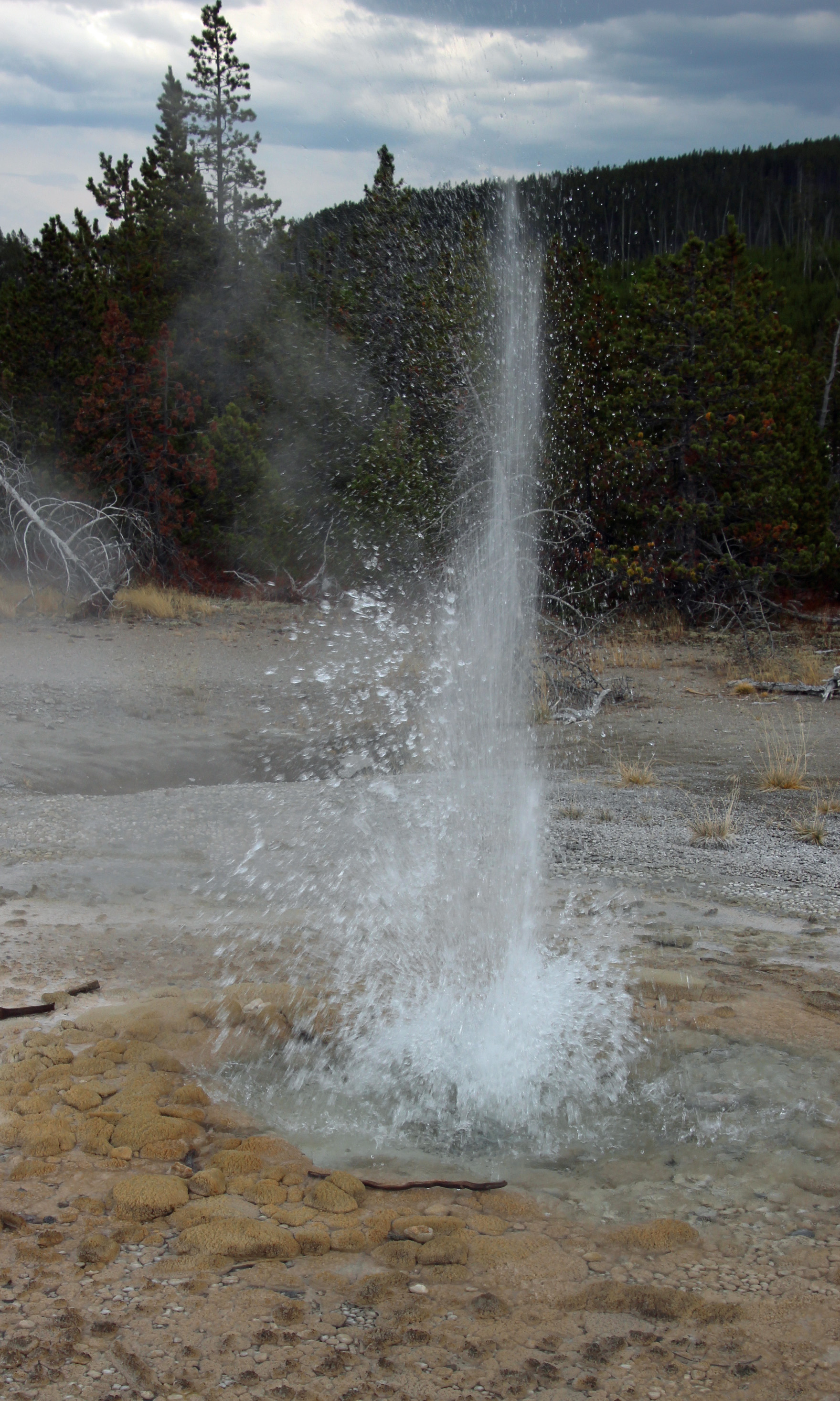
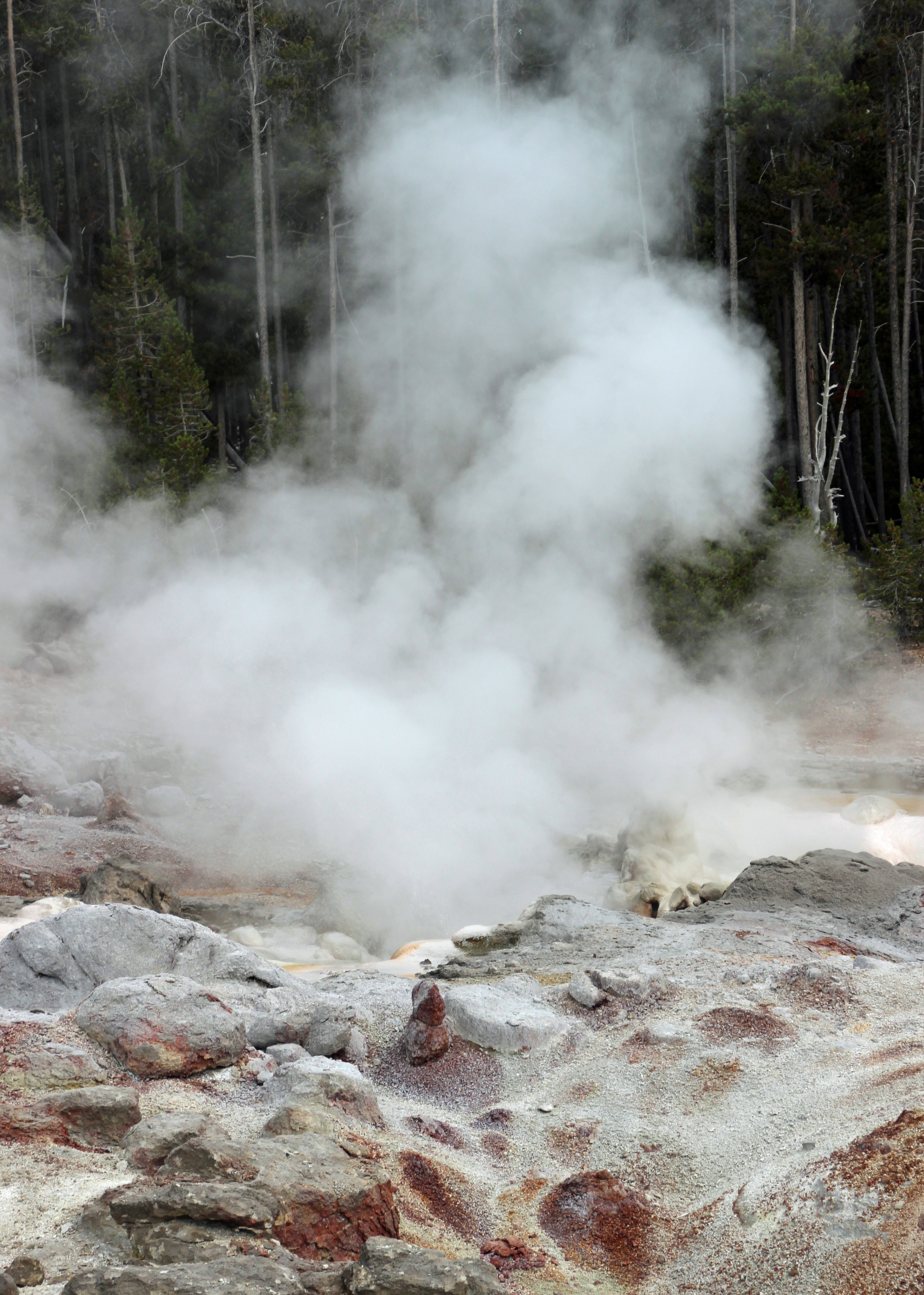
So we walked around town, noticing that the downtown businesses were trying for a turnaround, several of them pretty decent shops and such. We stopped to splash our hands in one of the open spring pools, only to learn that “ouch” that water is hot! Unlike Yellowstone’s steam vents, geysers and hot springs, nearly all of the hot springs in the park and town were capped off years ago by the government. But a few are free spigots for you to fill your jug – just be aware it is HOT spring water.

Louisiana and Mississippi

Still more miles to go, so we set off again the next day toward our destination of Grayton Beach, Florida. We were still a couple days off, so our next stopping point was south through Arkansas, into Louisiana and over to Vicksburg, Mississippi. Arkansas really flattens out as you go south and east toward the Mississippi River, with lots of cropland that was being harvested. The overnight at Vicksburg was a Good Sam campground connected to the riverside casino. Basic spot with utilities, but we did avail ourselves of the free shuttle to the casino to get something to eat (unfortunately, a less than average meal) and watch the sun set over the river. That was worth it, not so much the smoky casino.
Alabama
This next day we drove around Jackson toward Hattiesburg and further south around Mobile and Mobile Bay to camp at a spot off Interstate 10 just west of Pensacola, Florida.. It was so hot and humid as we pulled in, all we wanted was to connect to electricity and get the AC going. It seems that the engine AC lost charge and was only spewing warm air out of the dash for the past two days, and we were now definitely back in the humid south. As Jackie is trying to connect the electric, a whopper of a thunderstorm was brewing and crackling around us. All connected, but nothing happened. Seems the circuit breaker in camp was not working. Asked the owner to move us, he had to check it out for 10 minutes (uhh, not working, right?) and then we got the ok to move sites. BAM! The thunder struck, Jackie quickly connected, we leveled up and huddled inside while the rain came down and the temperature inside dropped, finally.
Florida

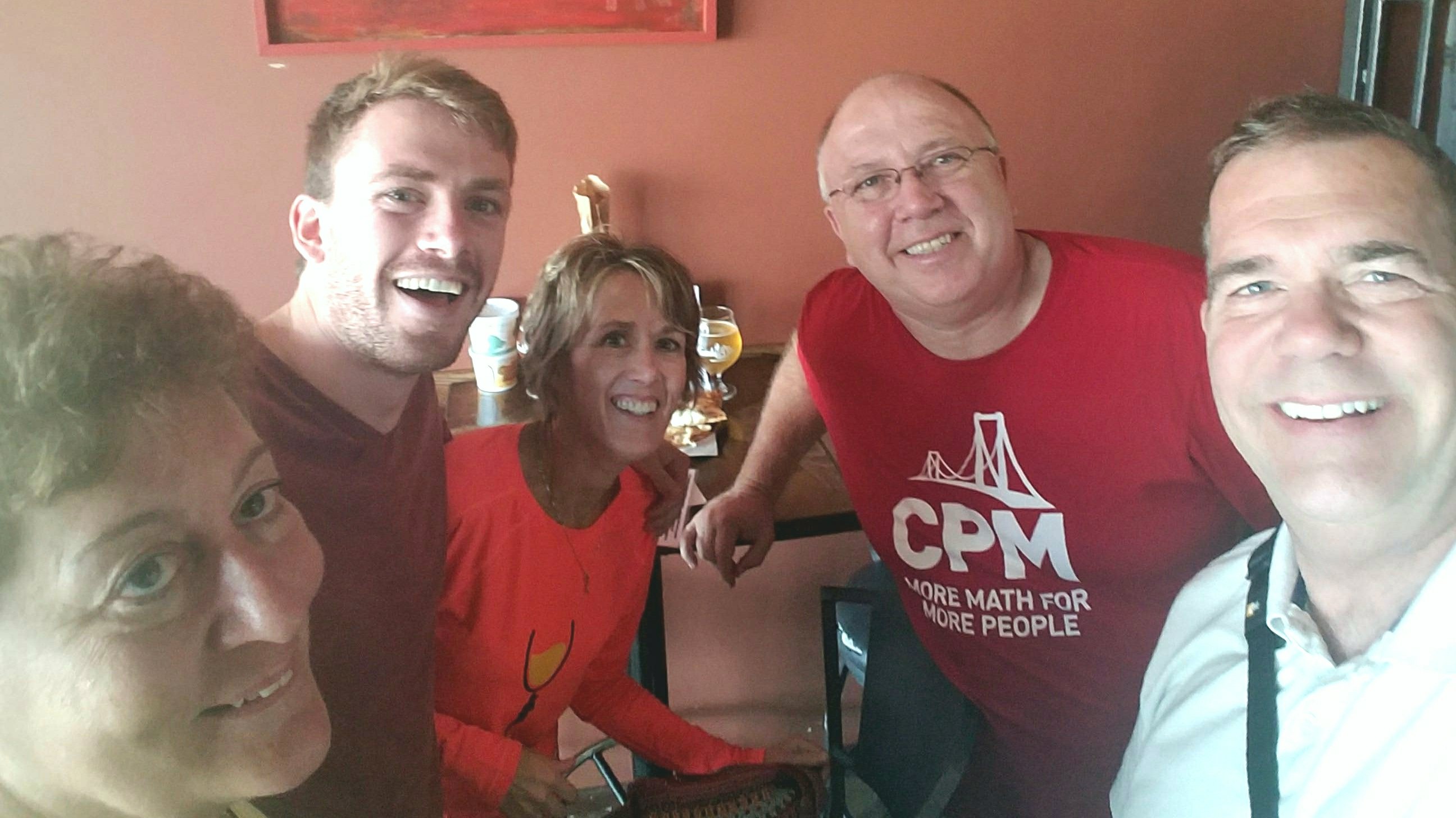
Still wet and humid the next day, we made our final drive along I-10 into the Florida panhandle and Grayton Beach State Park. Quick as we could, we disconnected the car, made camp and headed to the beach for a swim. Gorgeous water, beautiful beach — we cooled off and shed the dusty west. Dan and Terri from home were vacationing here this week and the plan was to meet up and revisit some of our favorite breweries here. First night we had a delicious meal at Café 30A, told tales of our bold adventure and watched the sun set over the gulf.
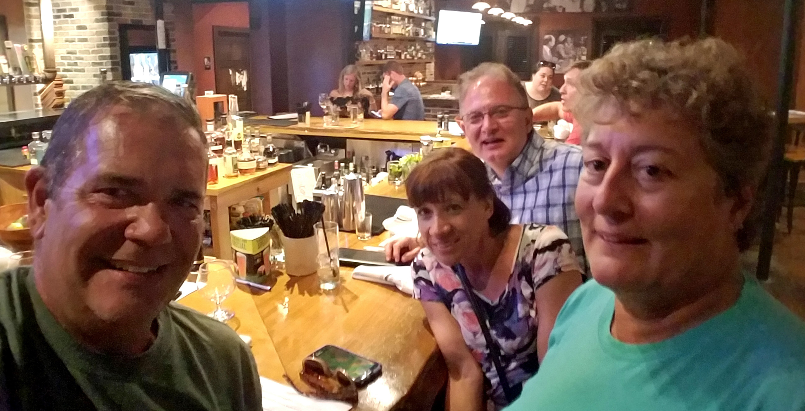
Dan, Terri, Jackie and I at Craft Bar in Grayton Beach
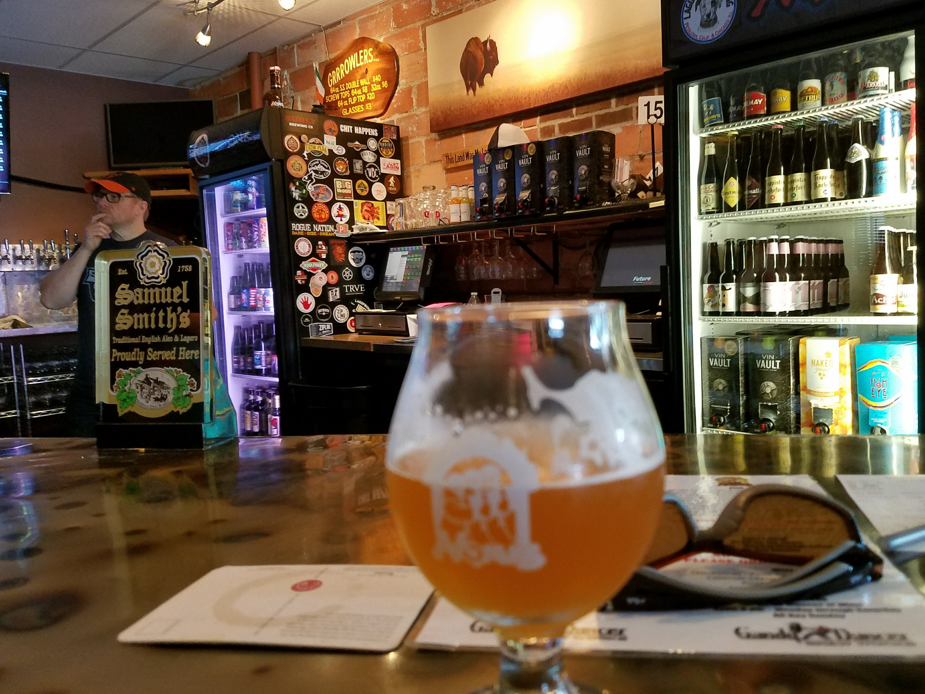
Another night we drove to Grayton Beer company and enjoyed some of their brews while munching on sub sandwiches. Plans for Idyll Hounds the next night were to be followed by a visit to a local music spot for open mic night. Dan and Terri wanted a chance to play a set and have some fun. Well, the AC repairs nixed plans a bit …
Since the AC in the engine section of the RV seemed to quit the moment we hit Mississippi and the hot, humid weather, I called a mechanic to pay a visit and make repairs. Steve, the Mobile Mechanic arrived and pronounced the AC compressor bad, in fact bad enough that we would not have made it home without a breakdown. You may recall that just last October we had that replaced, so I will be arguing the warranty with the shop back home. Two days later we had a new compressor and were ready to roll again. Thanks, Steve.
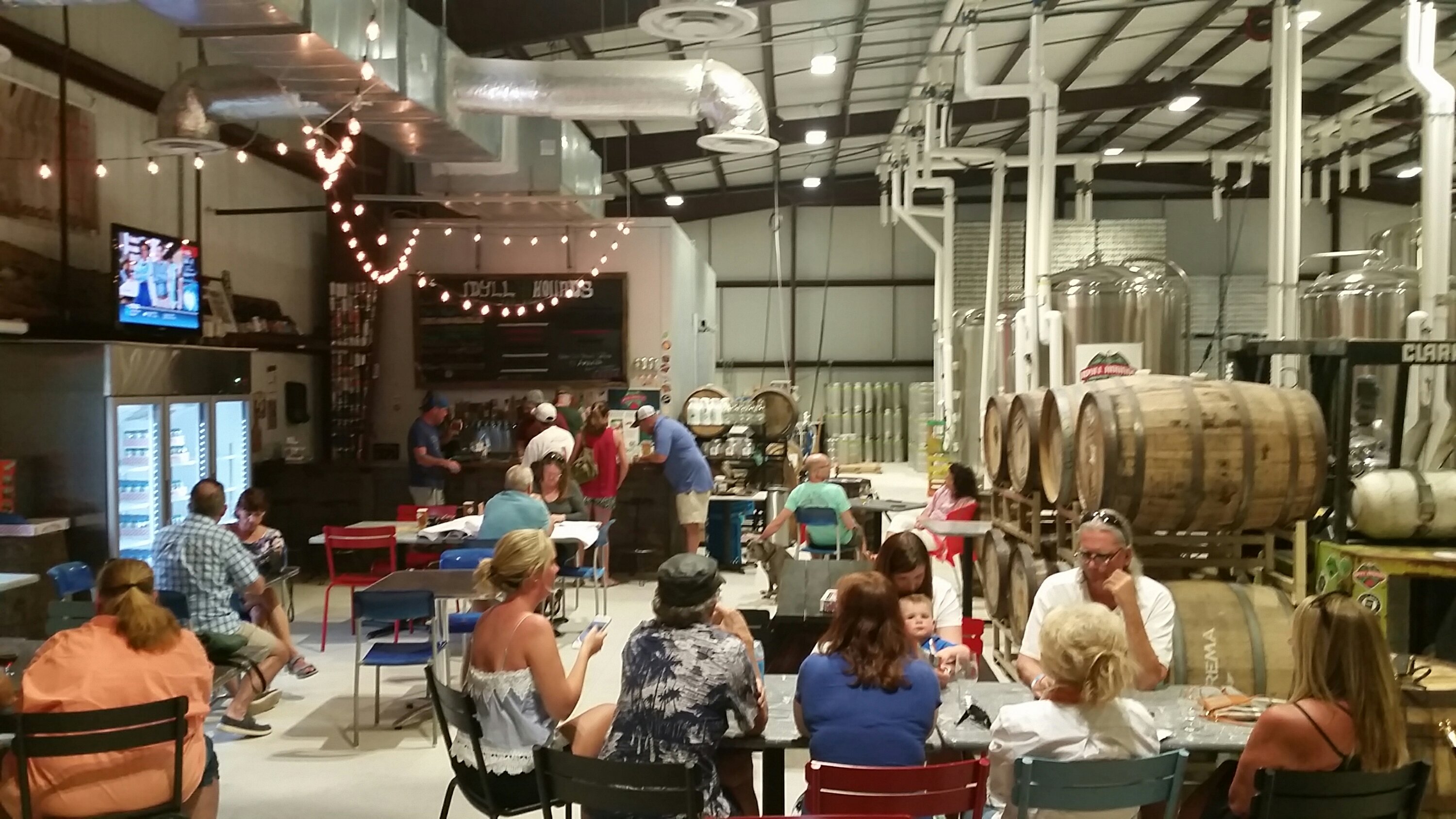
Idyll Hounds
Our brewery visit plans were almost ruined, but all was not lost. We did manage our Idyll Hounds visit and then went on to Craft Bar to try a few other regional beers and have some good eats. What fun with our really good brew peeps from home!! Thanks, Terri and Dan.
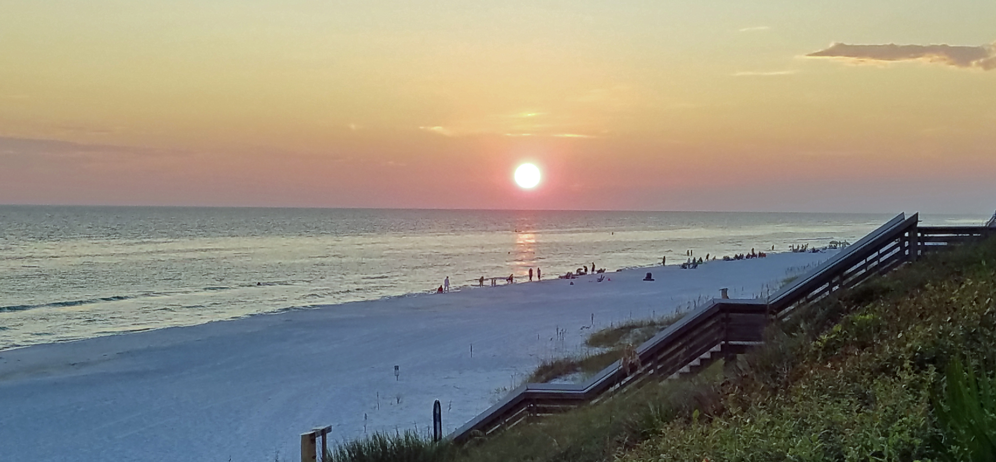
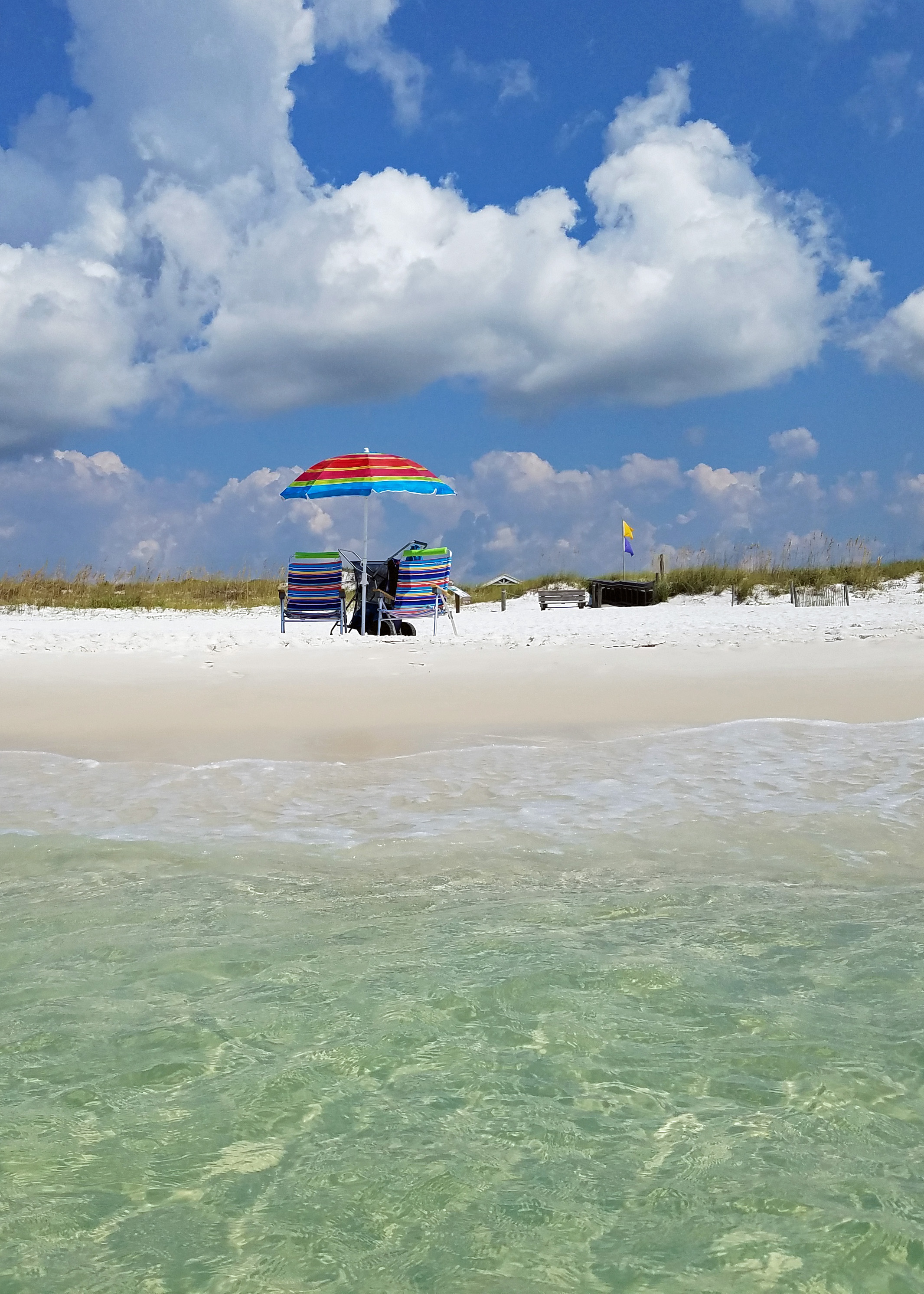
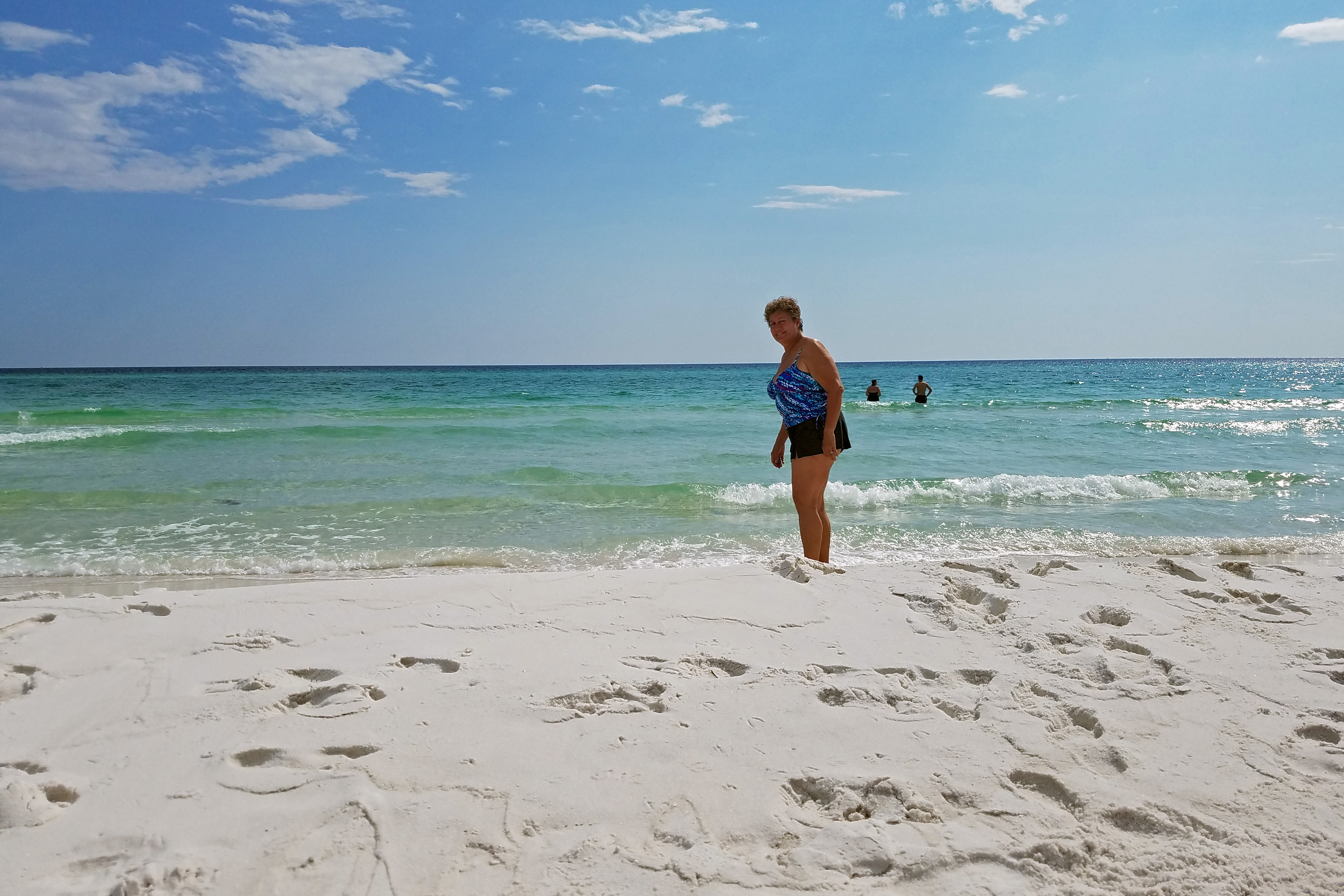
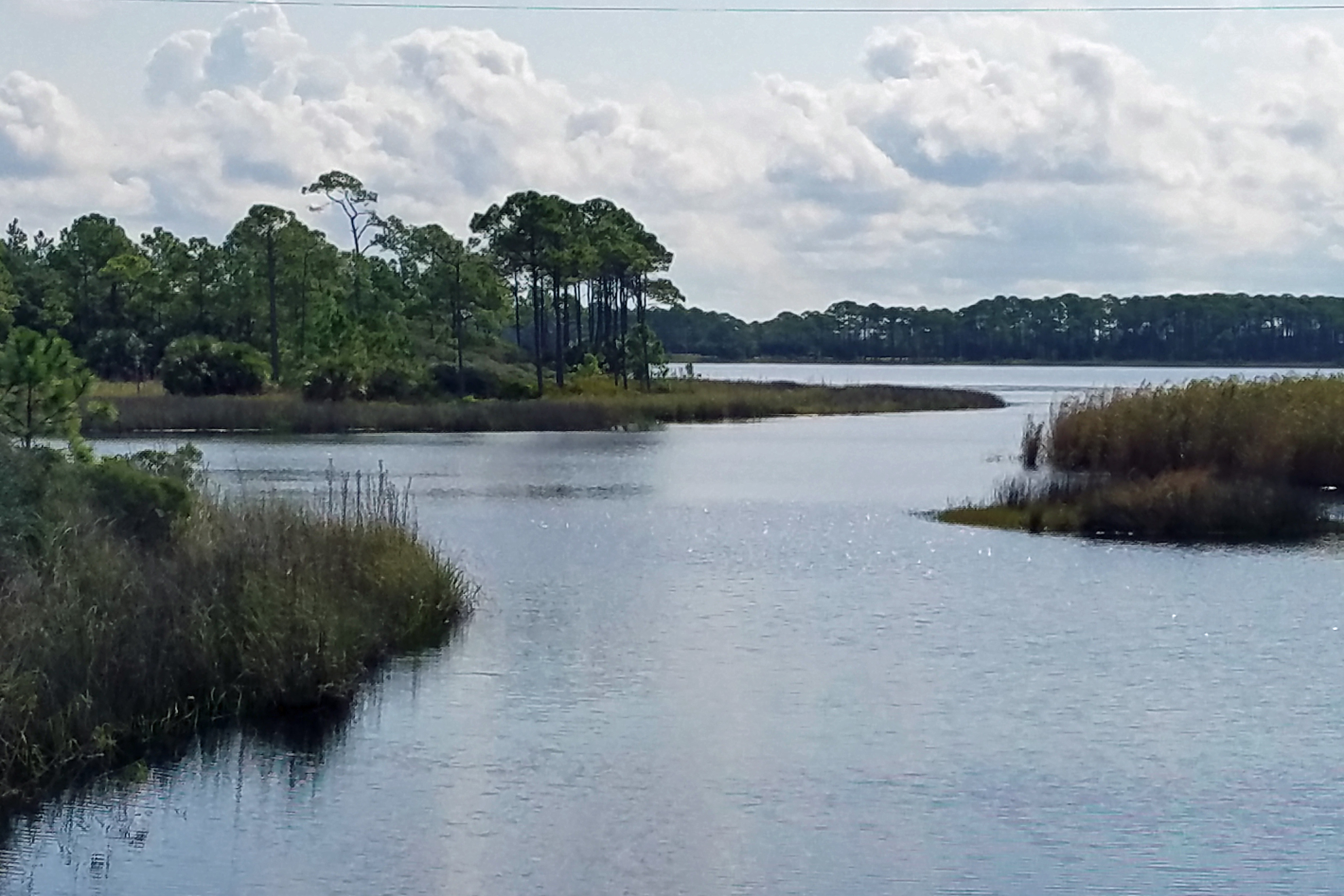
Grayton Beach State Park is beautiful and you can’t beat the white sand beaches and clear water for swimming. This part of the gulf and Florida missed the fury of Hurricanes Irma and Harvey and, combined with the sunny weather, was just delightful.
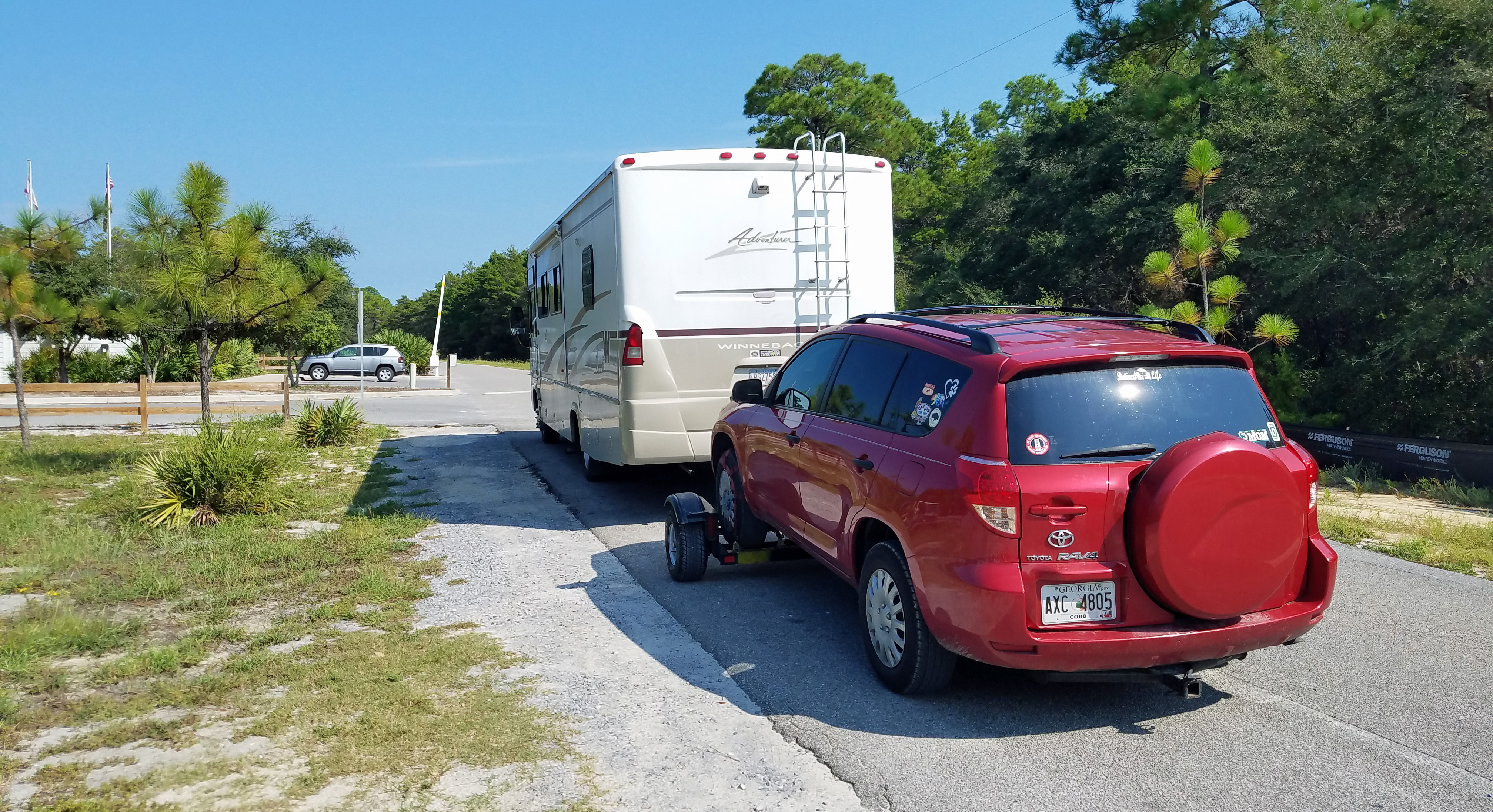
Soon it was time to make one final hitch connection for the car, pull up the leveling jacks, bring in the slides and head for home. As we drove through Alabama on our way to Georgia, we marveled at this long journey and how far we had come: north from home across the heartland to the Rocky Mountains and nearly over the Canadian border; back down through the central plains along the Mississippi River to the gulf shores. We saw so many special places, spectacular scenery, amazing wildlife and had so many unique experiences that surely we will be thinking of this trip for months to come.
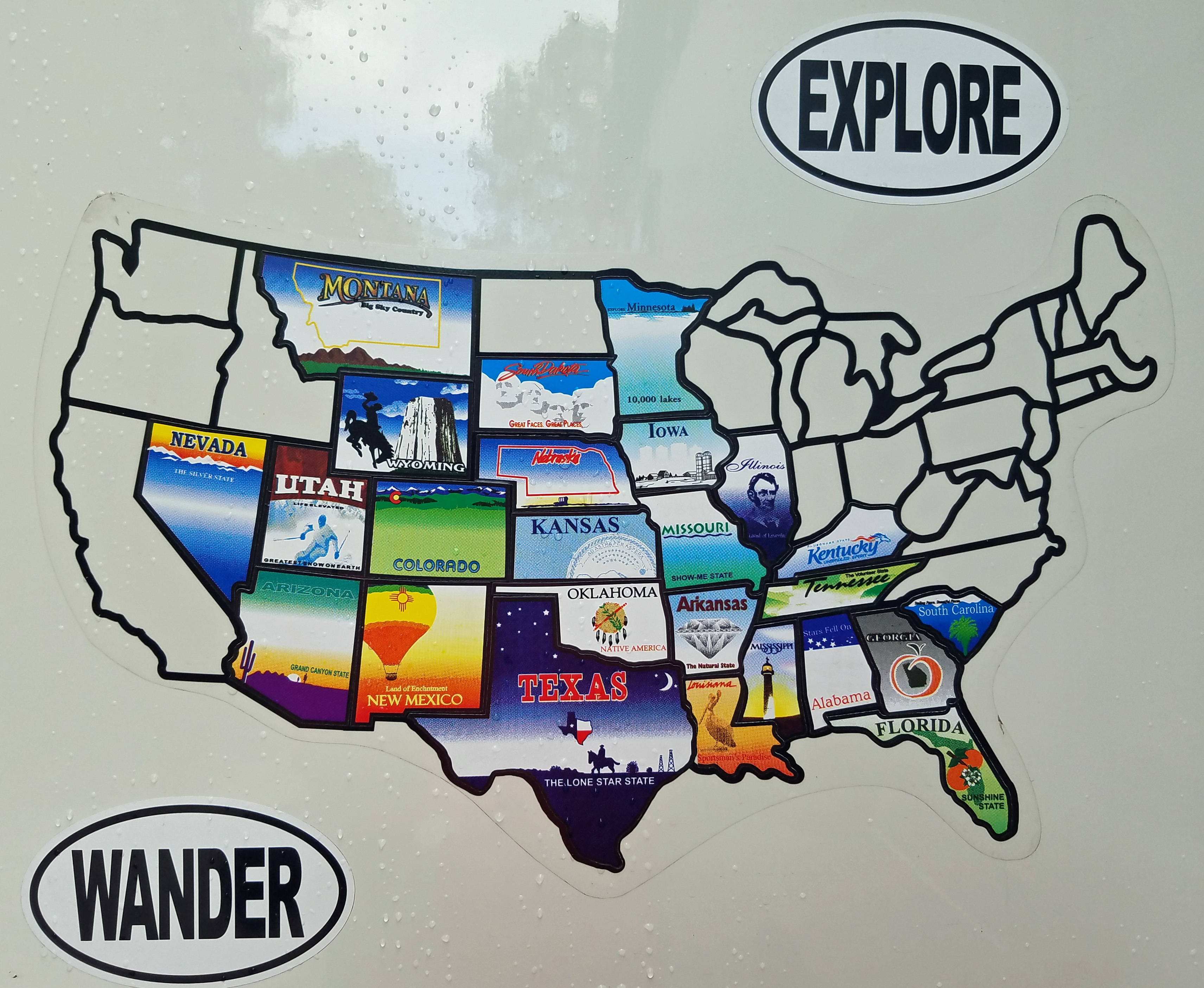
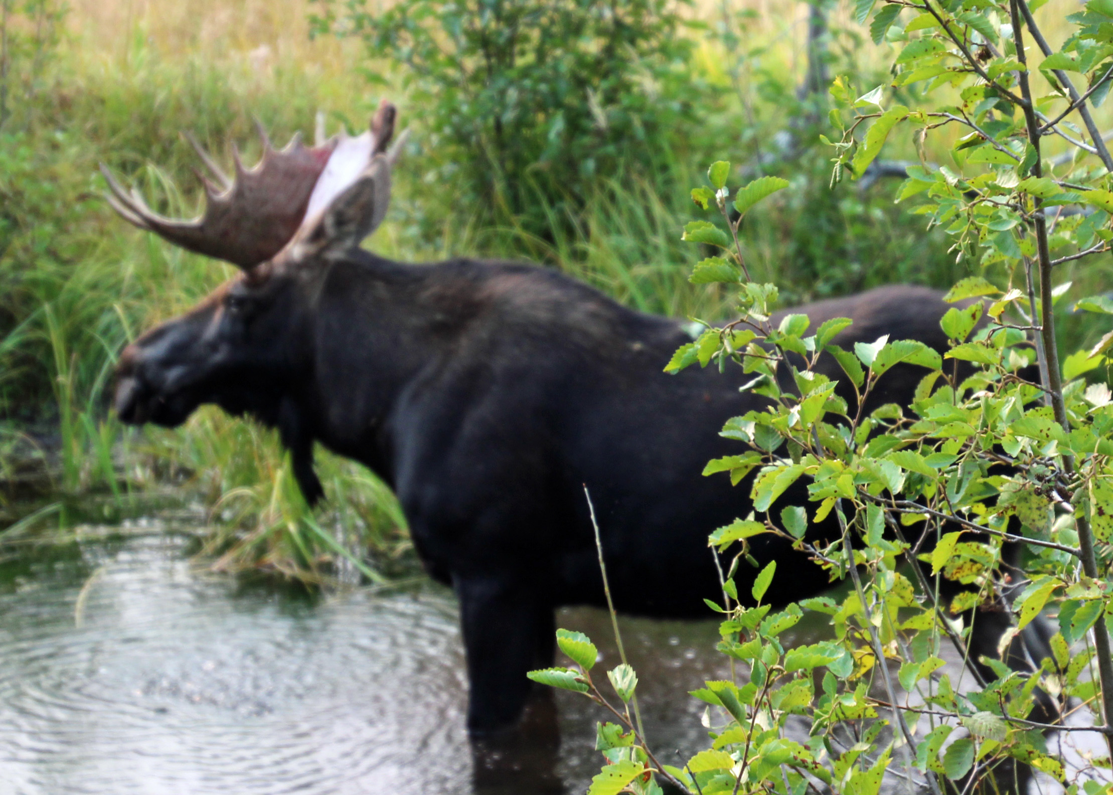
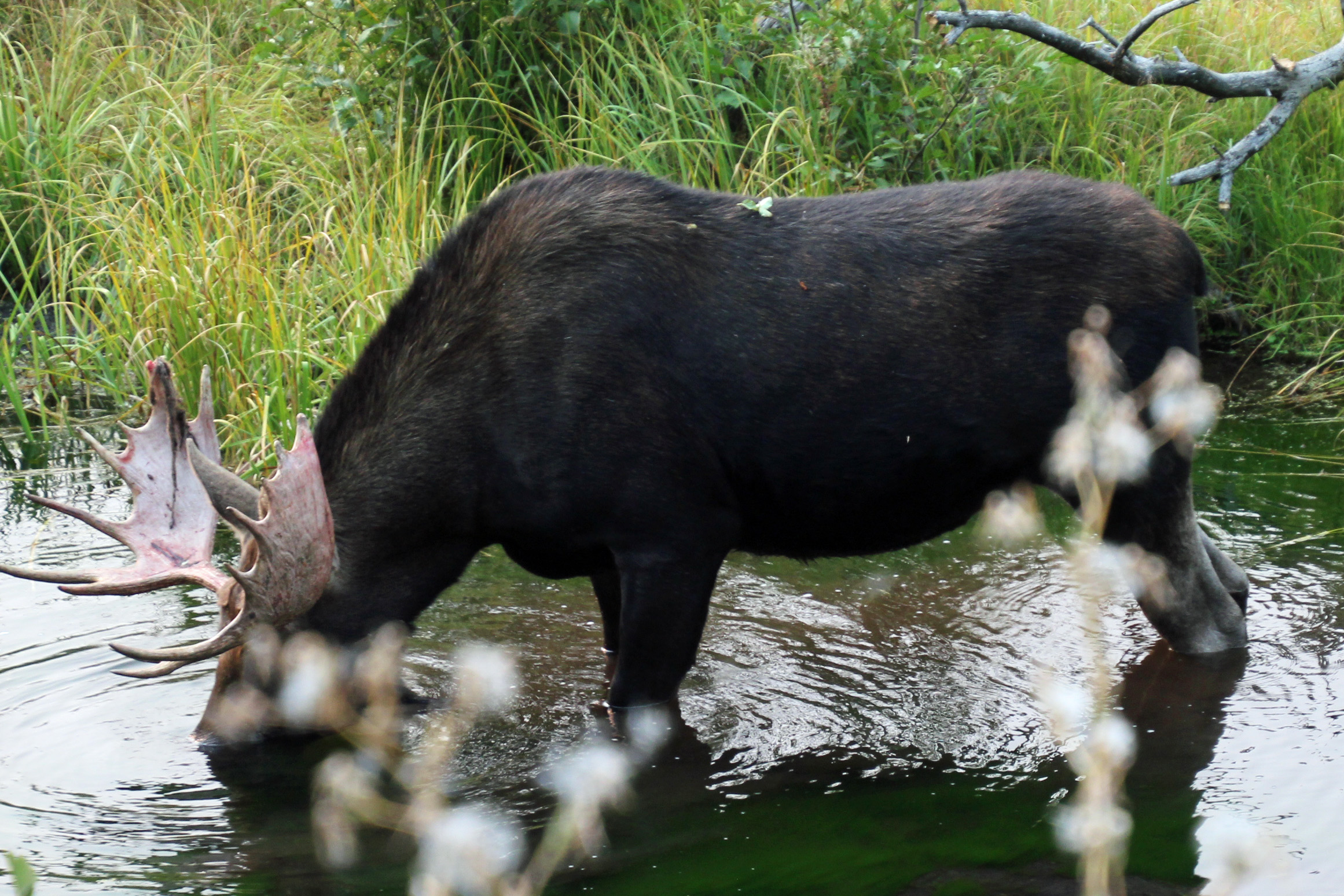
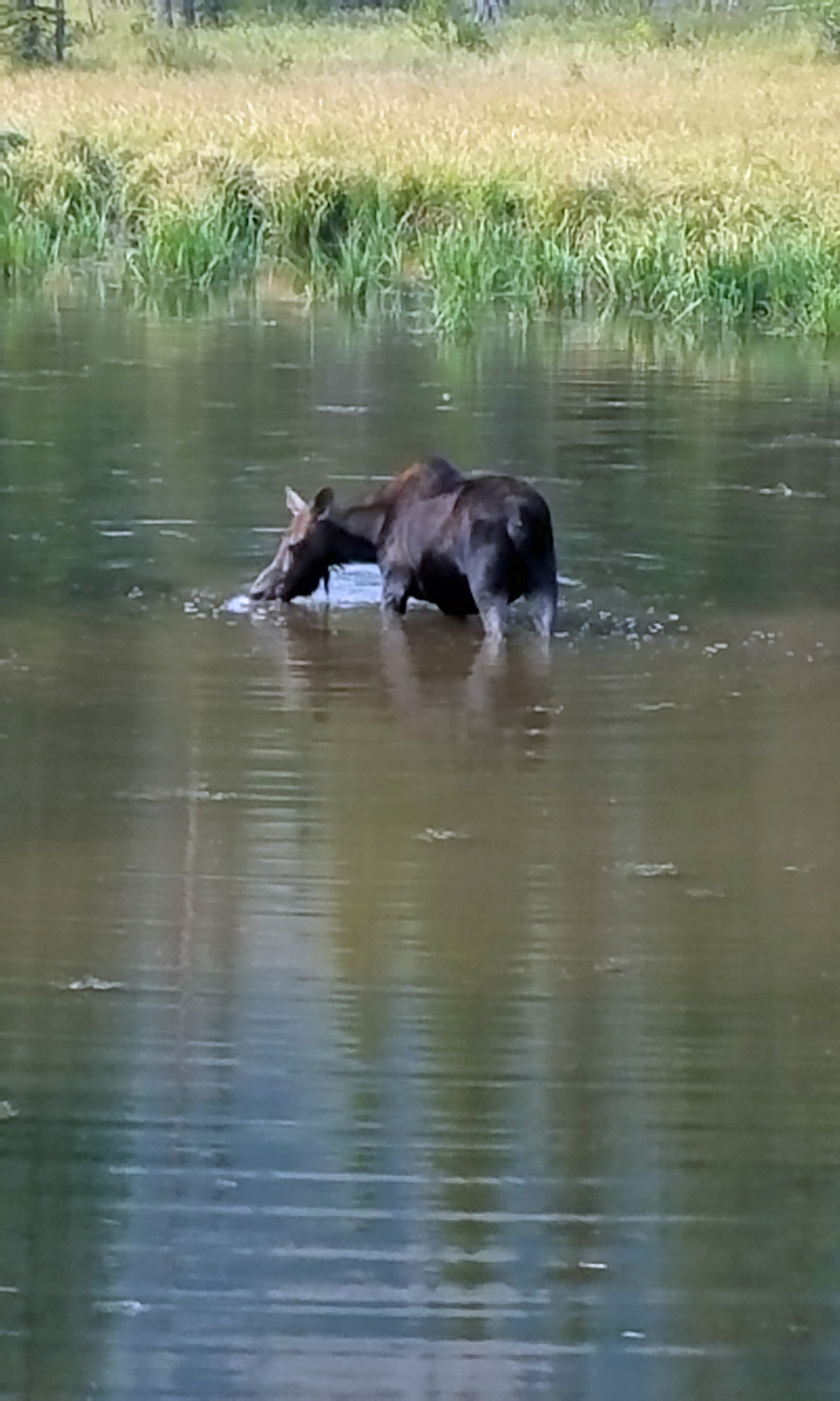
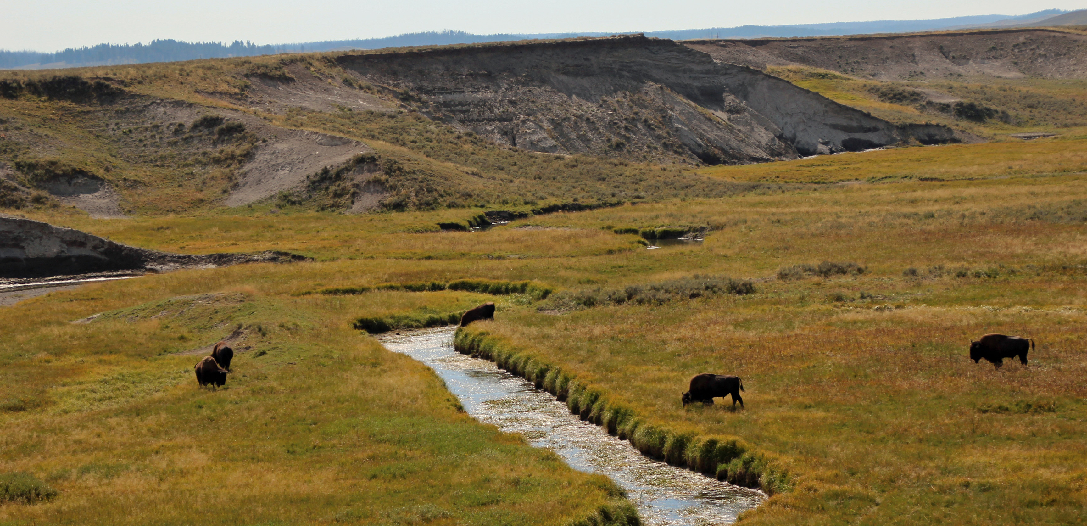
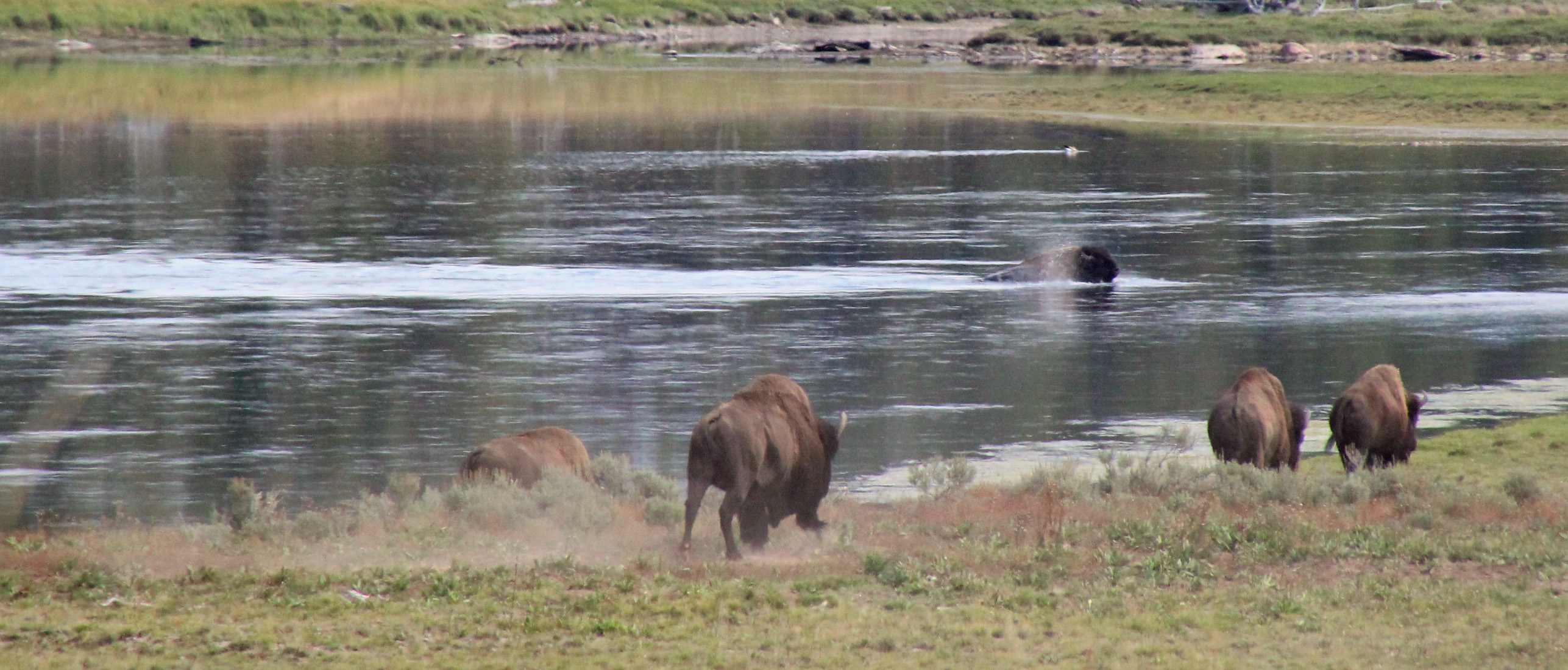
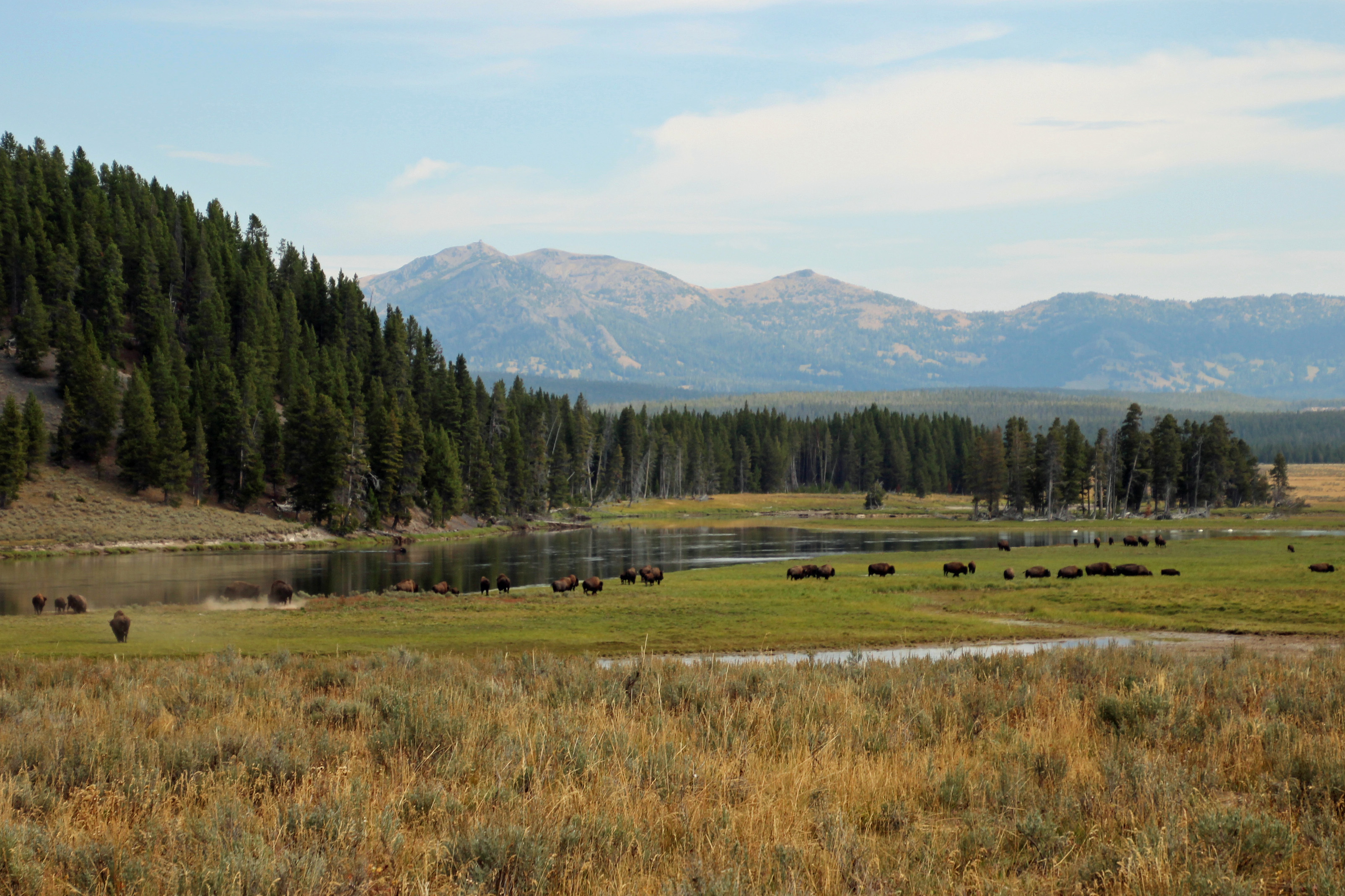
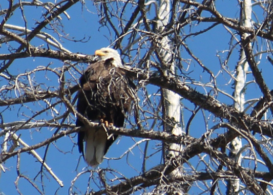
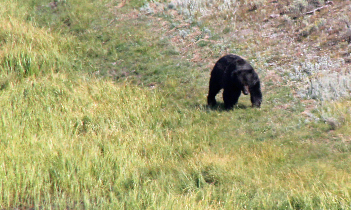
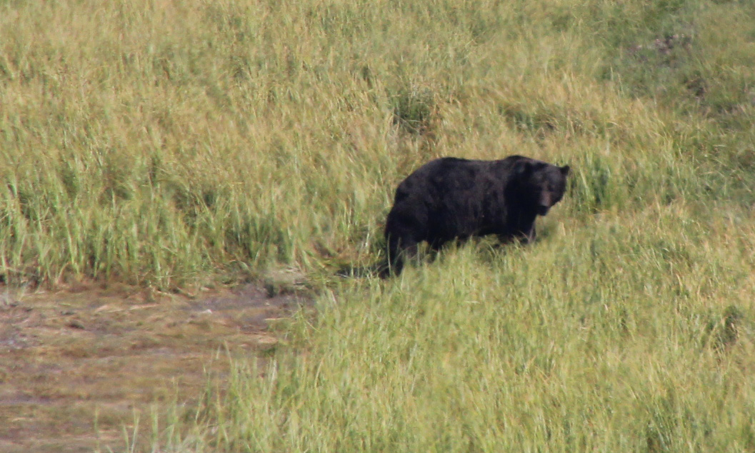
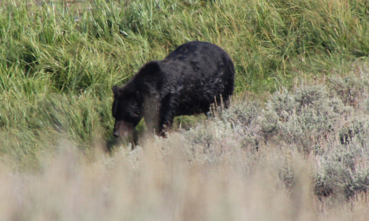
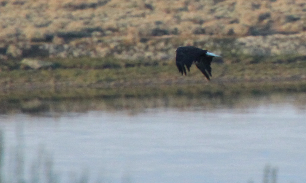
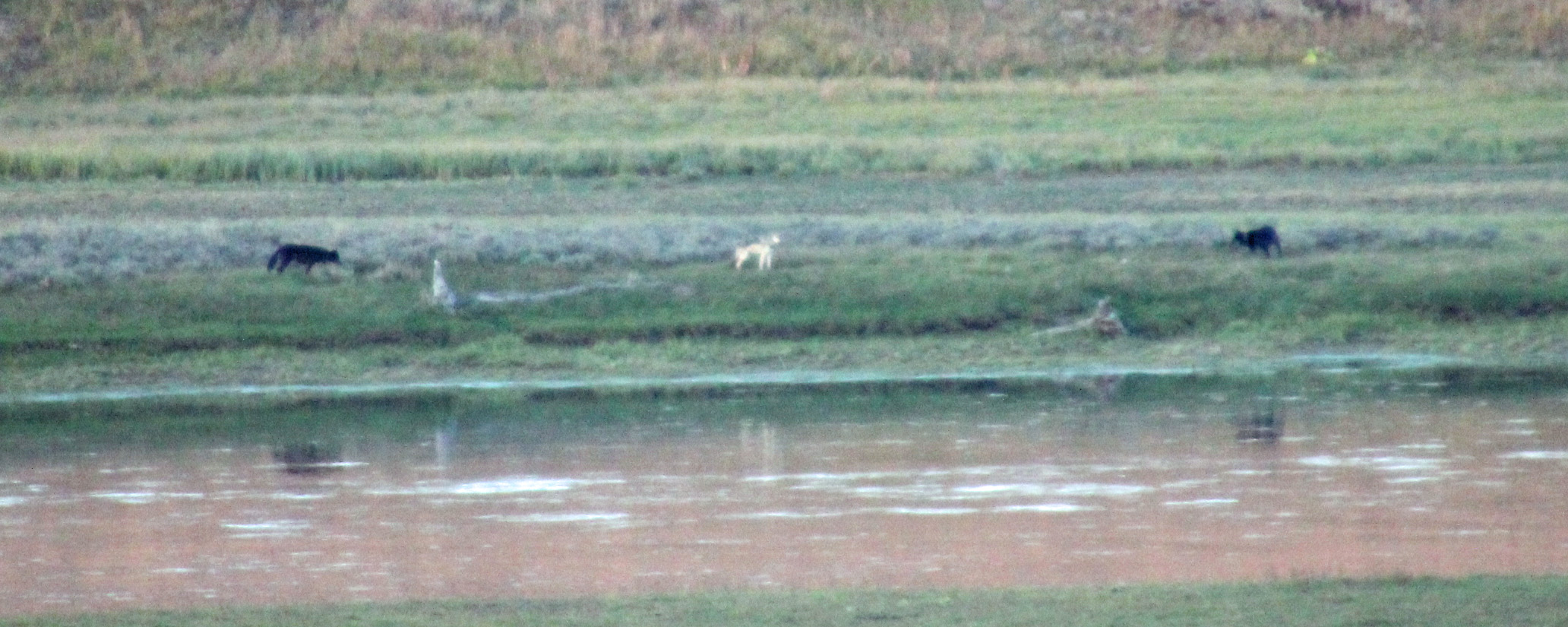
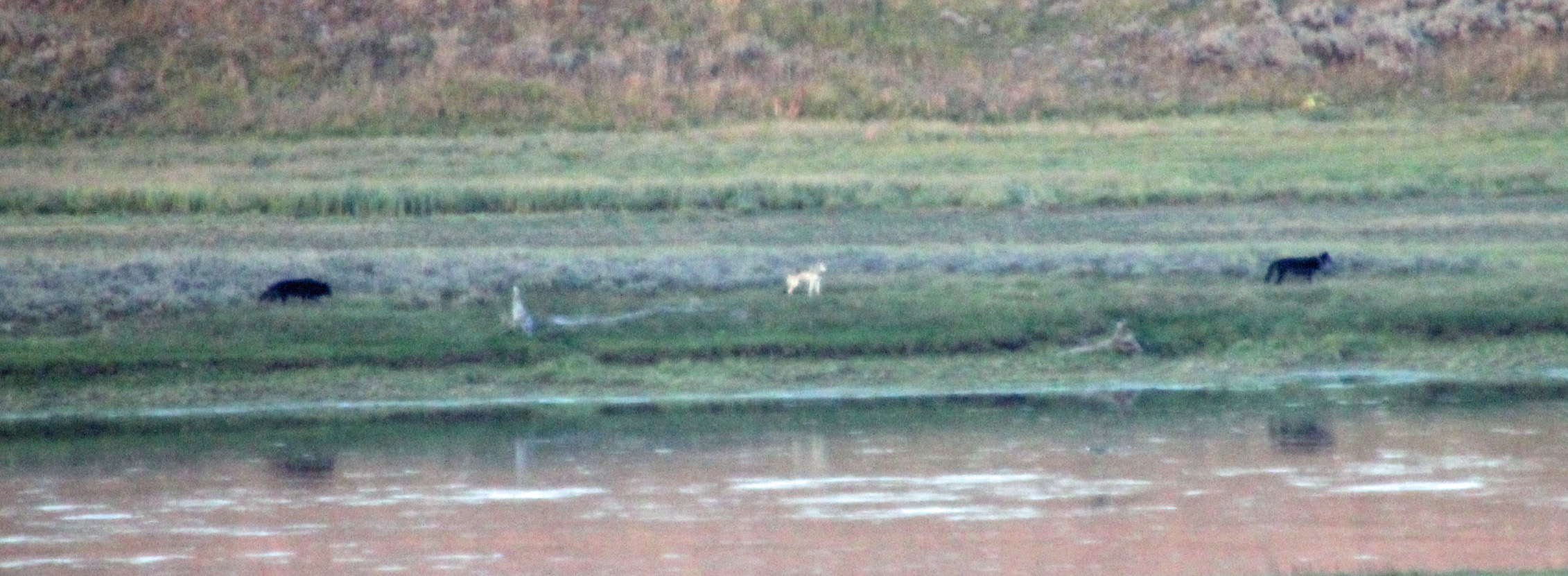
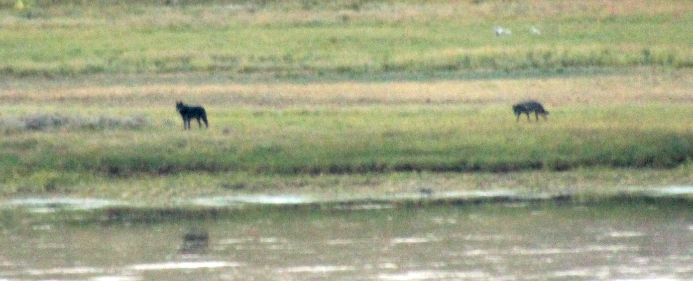
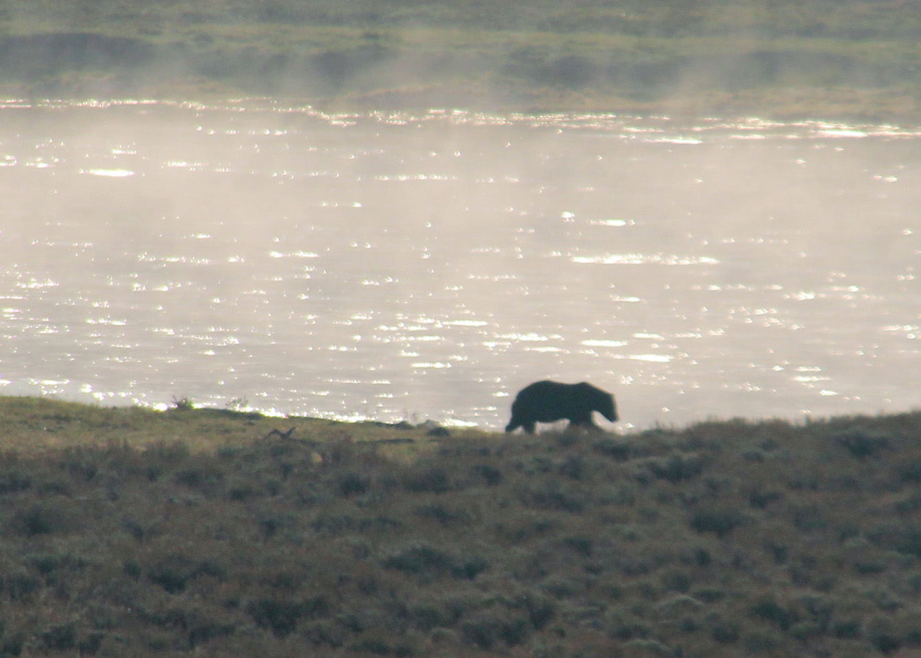
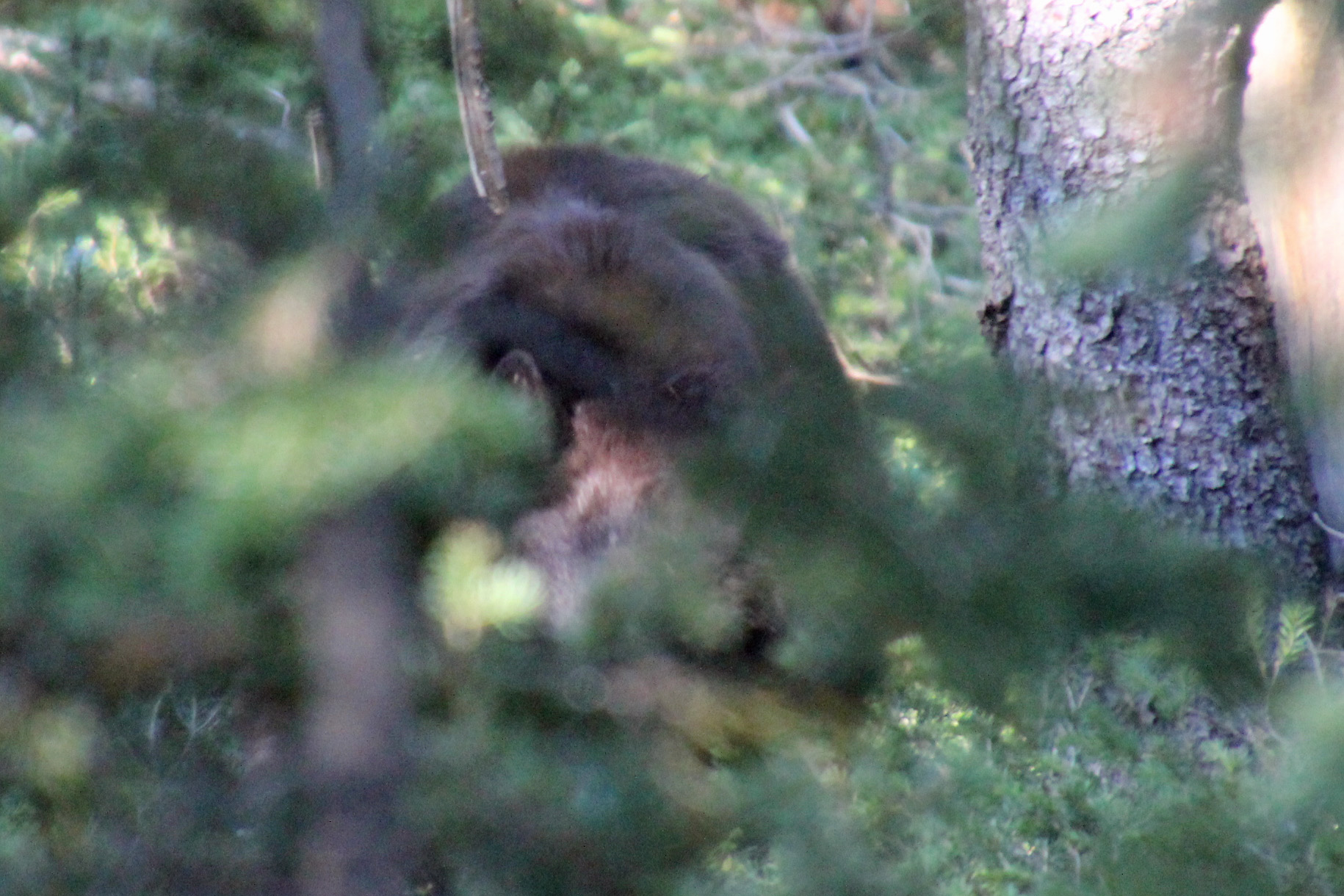
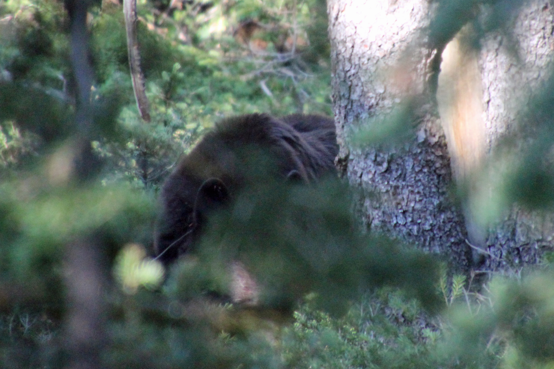
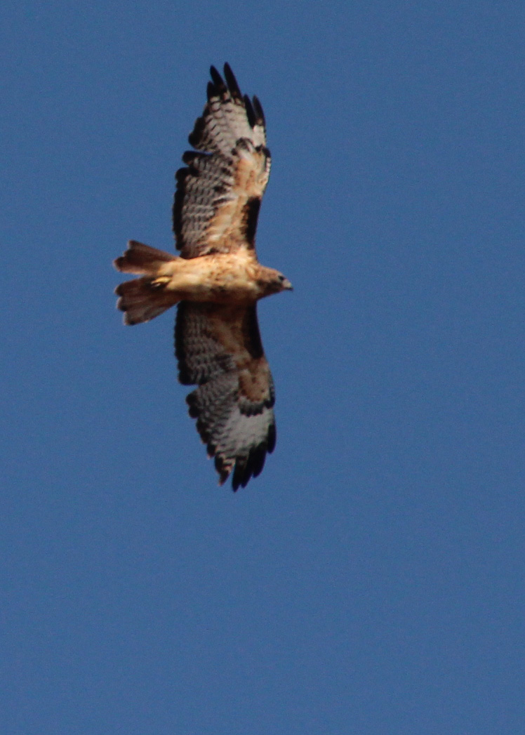
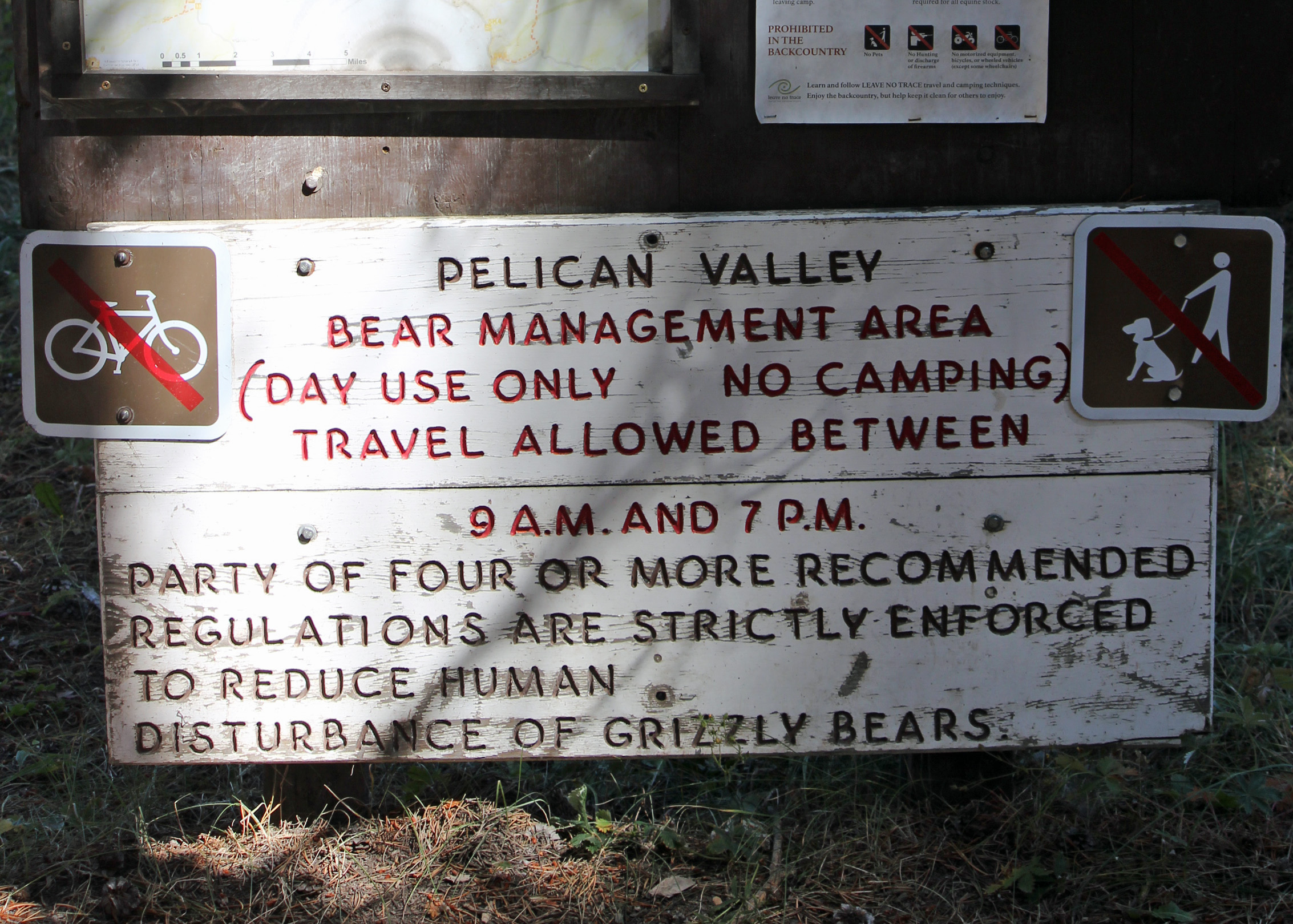
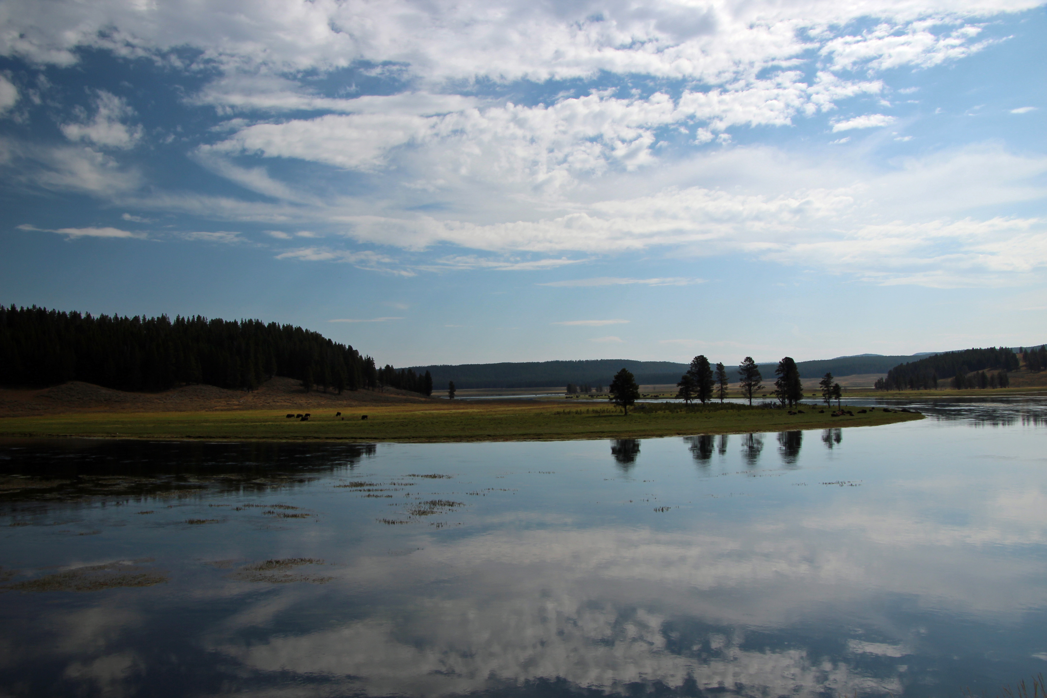
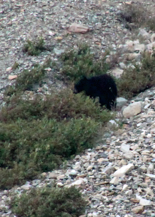
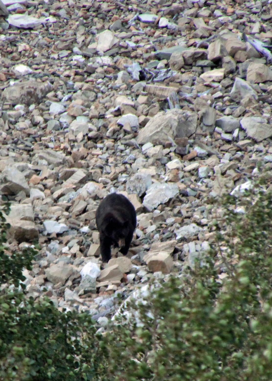
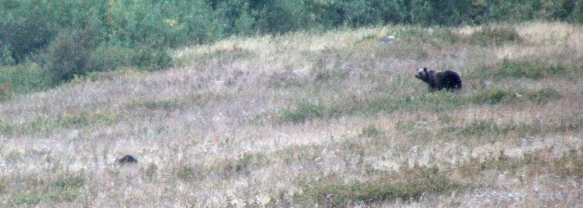
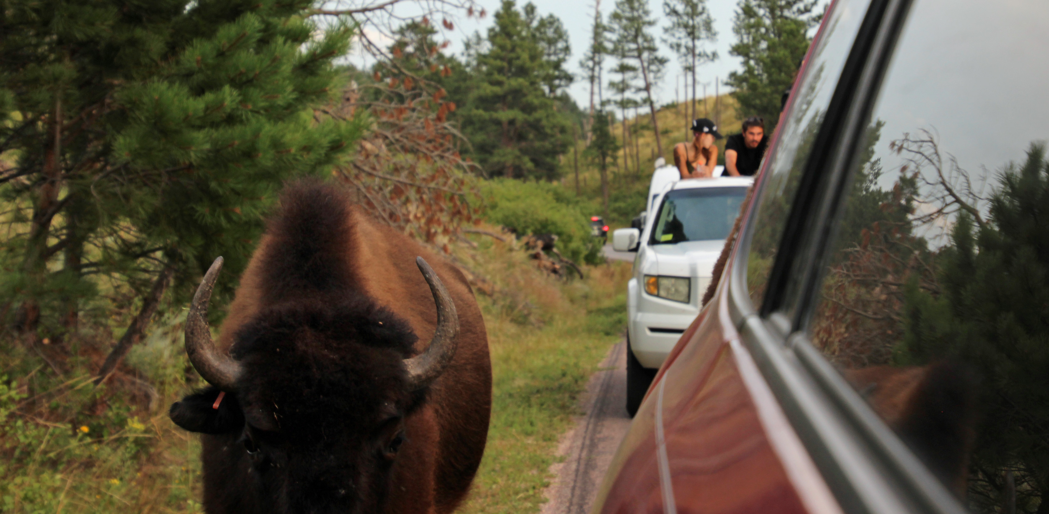
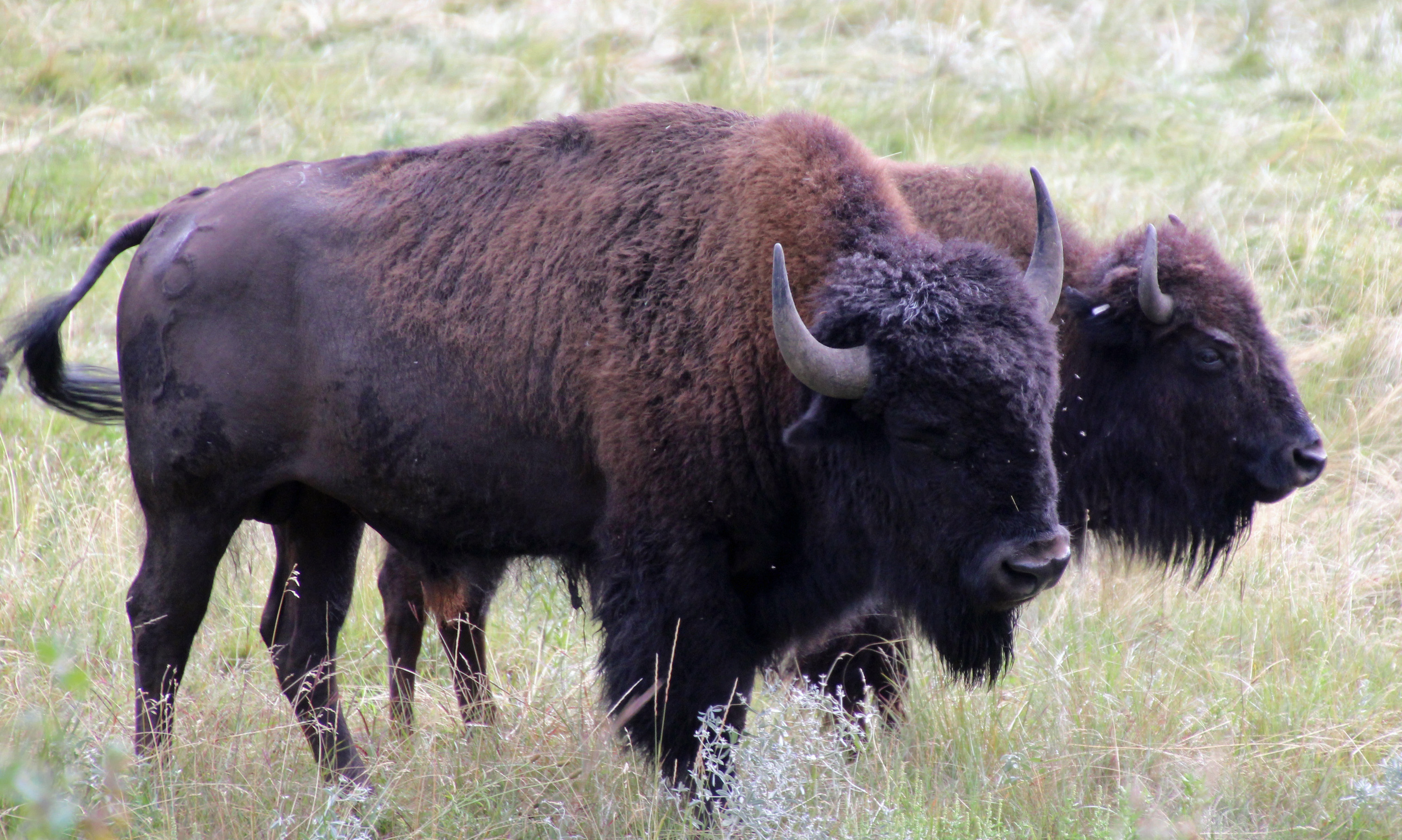
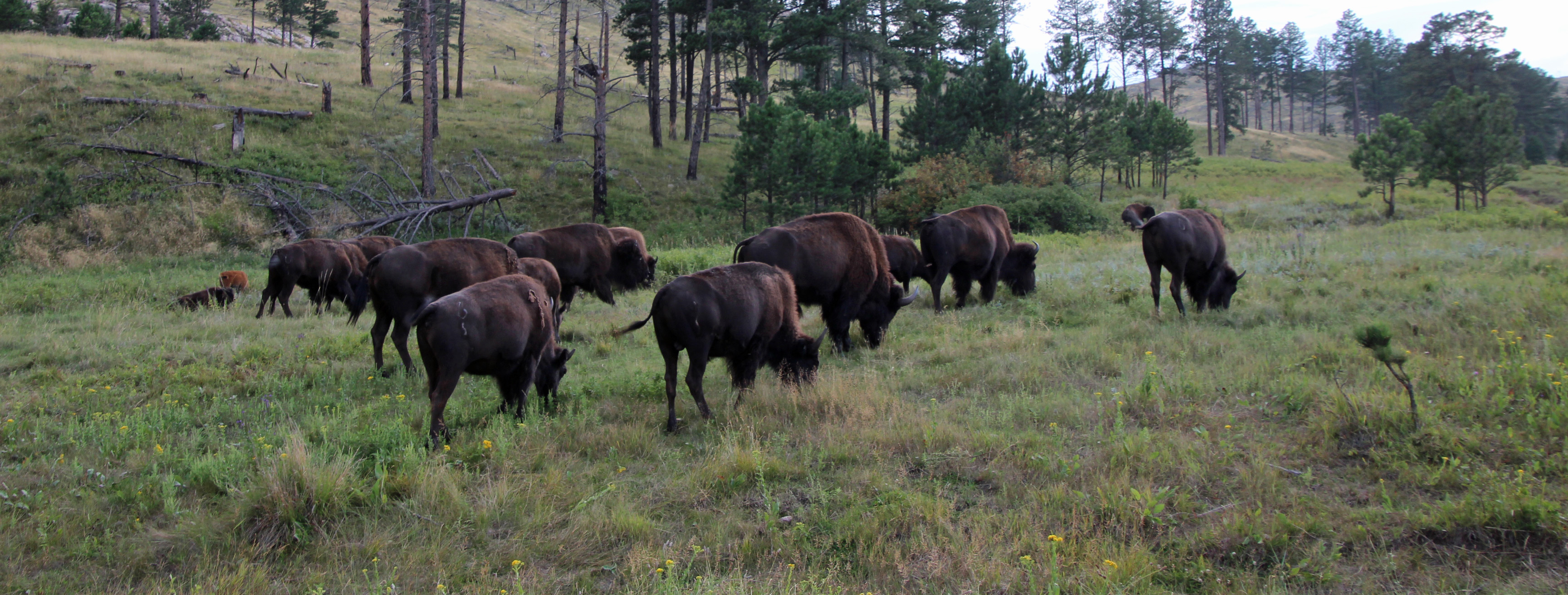
Sixteen states, 5,700 miles, one dented-up Rav-4, one missing hubcap, three grizzly bears, one cracked windshield, seven moose, two bald eagles, six wolves, one AC compressor, three black bears, two weak house batteries, herds of buffalo, several geysers and a lot of hiking … are we the winners of the Amazing Race yet?
Thanks for joining us along the way. I hope it will help you plan your own adventures and bring you as much fun as we had. Let us know what you liked!
Until next time, when the adventure continues …
")

")

")
")
")
")
")


")
")
")
")
")
")

")
")
")
")
")
")
")


")

")

")
")
")


")
")
")
")


")


")
")
")

")
")
")
")
")

")
")

")
")
")

")
")

")
")
")


")
")
")
 b")
")
")

")
")
")
")
")


")
")
")
")


")

")


")
")


")
")
")


")
")
")
")
")
_edited-1")
")

")

")

")


")
")
")


b")
")


")


")

")

")
")
")


")


")

")


")


")


 b")
")

")

")

")
")
")

b")


")

")


")
 b")


")
")

")
")


")

")
")
")


")
")
")
")
")
")

")


")

")


")
")
")
")

")
")
")
")
")


")


")

")
")
")
")

")
")


")


")
")
")
")
")
")
")
")

")
")
")


")

")
")
")
")
")

")
")
")
")
")
")
")
")
")


 b")
 b")
")
 b")

 b")
 b")
 b")

 b")
 b")
 b")
")
 b")
 b")
 b")
")

 b")
")
 b")
 b")
 b")
 b")
")
 b")
 b")
 b")
")
 b")
 b")
 b")
")
")
")
 b")
 b")
")
 b")
 b")
 b")
 b")

 b")
 b")
 b")
 b")
 b")
 b")
")

 b")
 b")
 b")
 b")

")
 b")
")

 b")
 b")
 b")
 b")


 b")
 b")
 b")
 b")
 b")
 b")
 b")
 b")
 b")
 b")
 b")
 b")
 b")
 b")
 a")
 b")
 b")
 b")
 b")
 b")
 b")
 b")
")
")
 b")
 b")
 b")
 b")
 b")
 b")

")
")
")
")
")
")
")
")
")
")
")
")
")
")

")
")

")


Comments